Signs Tagged With Big Green Sign
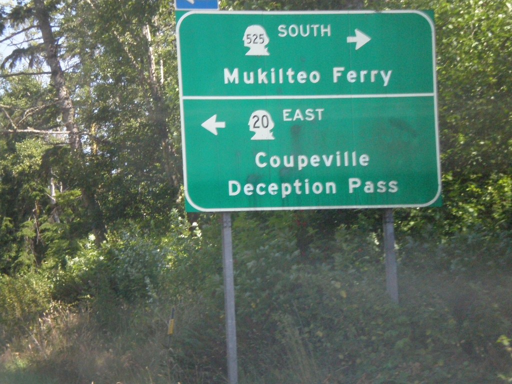
WA-20 East at WA-525 South
WA-20 east at WA-525 South to Mukilteo Ferry. Turn left to continue on WA-20 east to Coupeville and Deception Pass.
Taken 07-24-2008

 Coupeville
Island County
Washington
United States
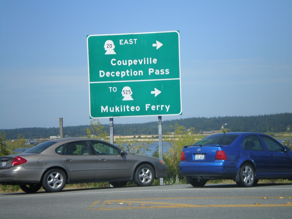
WA-20 East - Keystone Ferry Landing
WA-20 east at exit of Port Townsend Ferry. Turn left for WA-20 East/Coupeville/Deception Pass/To WA-525/Mukilteo Ferry
Taken 07-24-2008
 Coupeville
Island County
Washington
United States
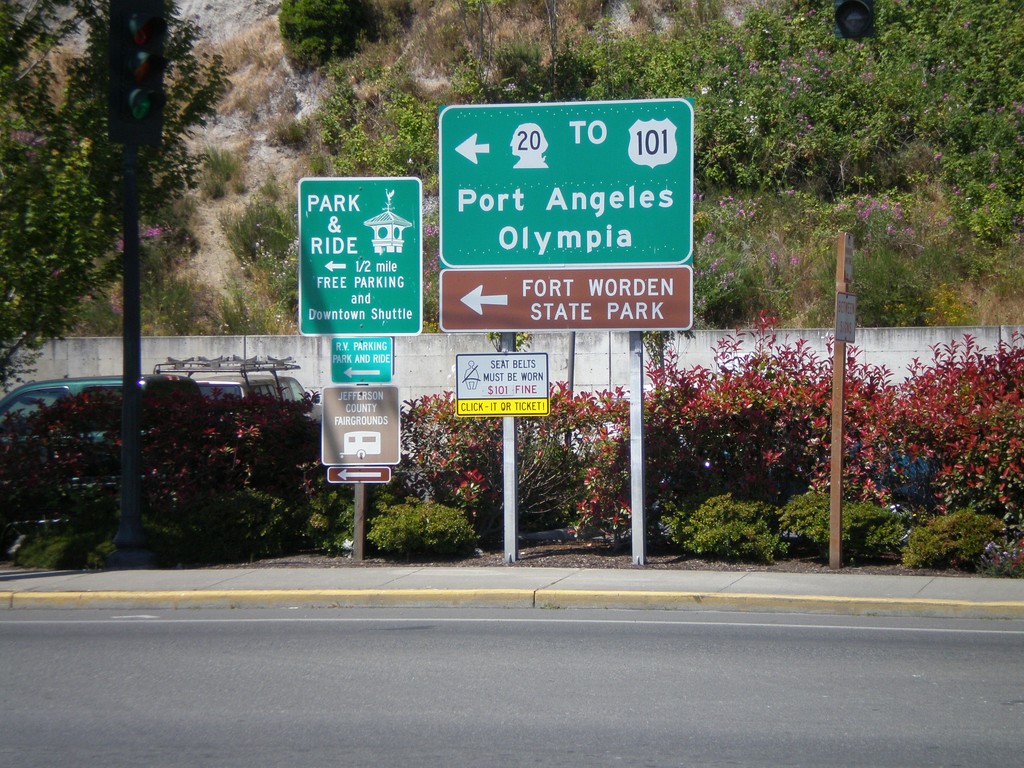
WA-20 West - Port Townsend Ferry Exit
WA-20 west leaving the Whidbey Island Ferry. Turn left for WA-20 West/To US-101/Port Angeles/Olympia.
Taken 07-24-2008

 Port Townsend
Jefferson County
Washington
United States
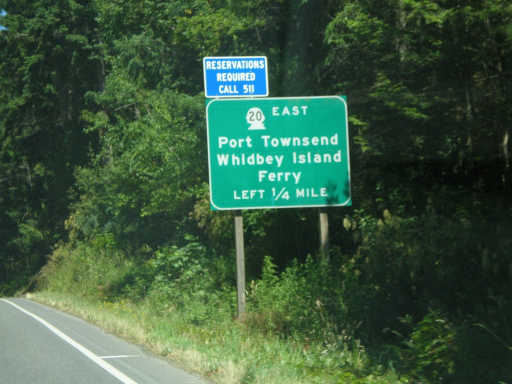
WA-20 East Approaching WA-19
WA-20 east approaching WA-19. Turn left for WA-20 east for Port Townsend and the Whidbey Island Ferry.
Taken 07-24-2008

 Port Townsend
Jefferson County
Washington
United States
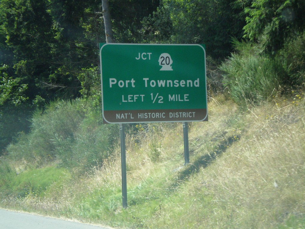
US-101 South Approaching WA-20
US-101 south approaching WA-20 east to Port Townsend.
Taken 07-24-2008

 Port Townsend
Jefferson County
Washington
United States
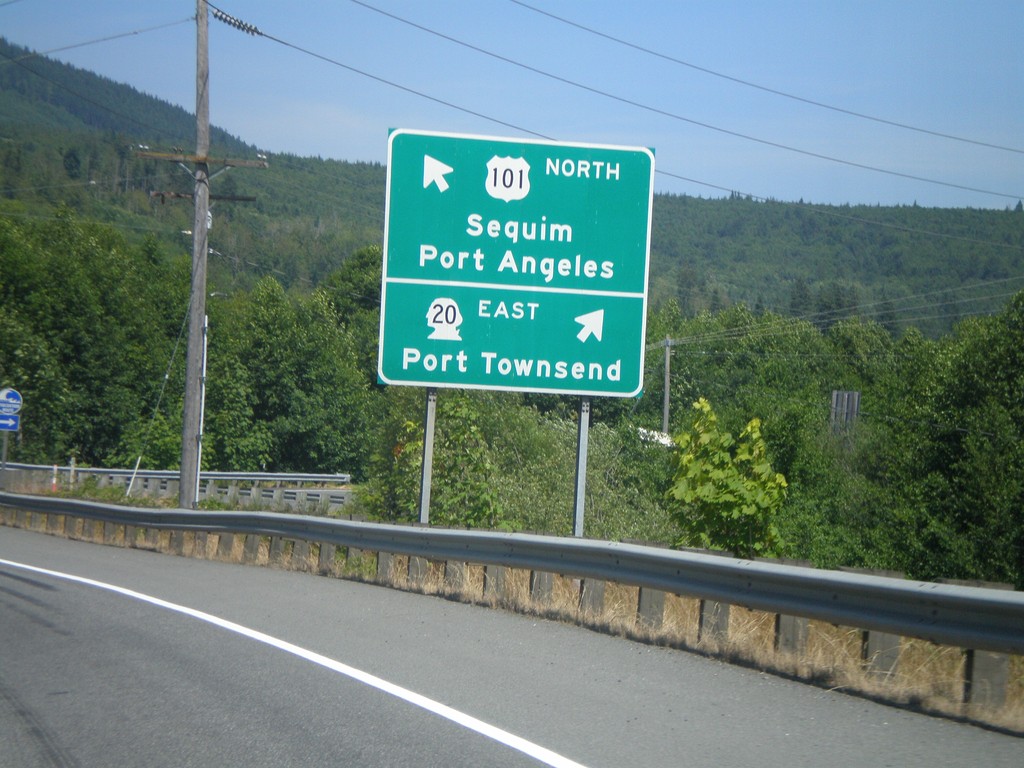
US-101 North at WA-20 East
US-101 north at WA-20 east to Port Townsend. Continue on US-101 north for Sequim and Port Angeles.
Taken 07-24-2008

 Port Townsend
Jefferson County
Washington
United States
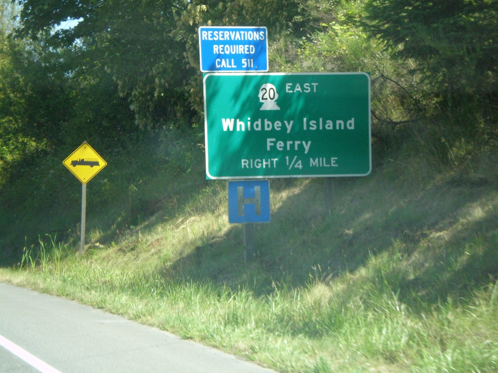
US-101 North Approaching WA-20 East
US-101 north approaching WA-20 east. Use WA-20 for the Whidbey Island Ferry.
Taken 07-24-2008

 Port Townsend
Jefferson County
Washington
United States
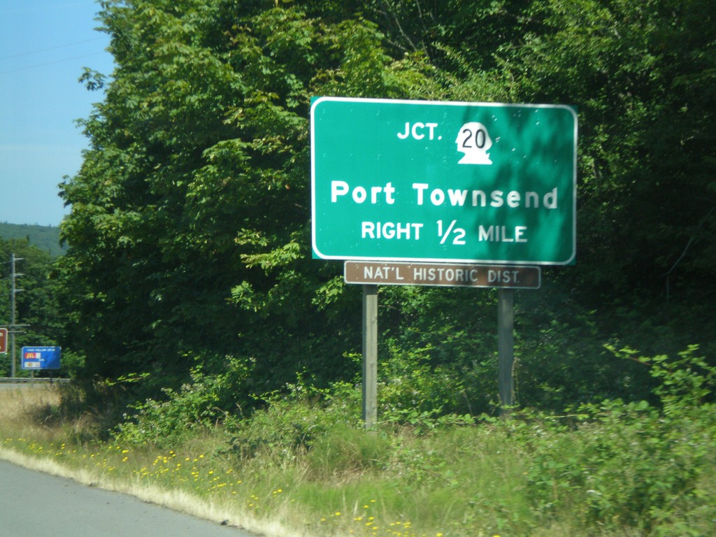
US-101 North Approaching WA-20
US-101 north approaching WA-20 to Port Townsend.
Taken 07-24-2008

 Port Townsend
Jefferson County
Washington
United States
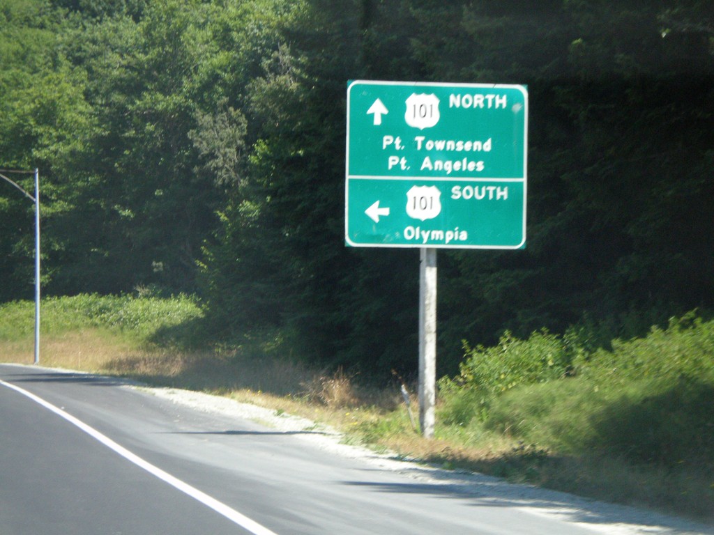
End WA-104 West at US-101
End WA-104 west at US-101. Use US-101 south to Olympia. Use US-101 north for Port Townsend and Port Angeles.
Taken 07-24-2008

 Eaglemount
Jefferson County
Washington
United States
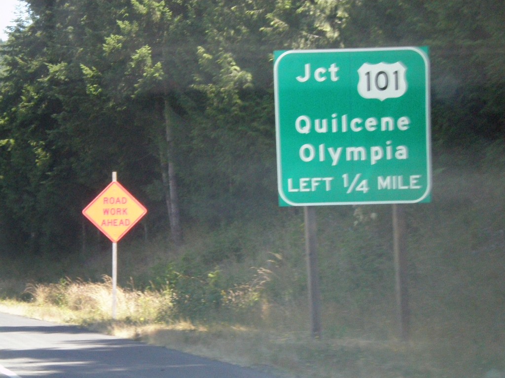
WA-104 West Approaching US-101
WA-104 west approaching US-101/Quilcene/Olympia
Taken 07-24-2008

 Quilcene
Jefferson County
Washington
United States
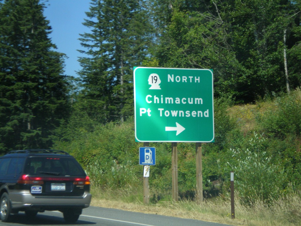
WA-104 West Approaching WA-19
WA-104 west approaching WA-19 North/Chimacum/Port Townsend
Taken 07-24-2008

 Port Ludlow
Jefferson County
Washington
United States
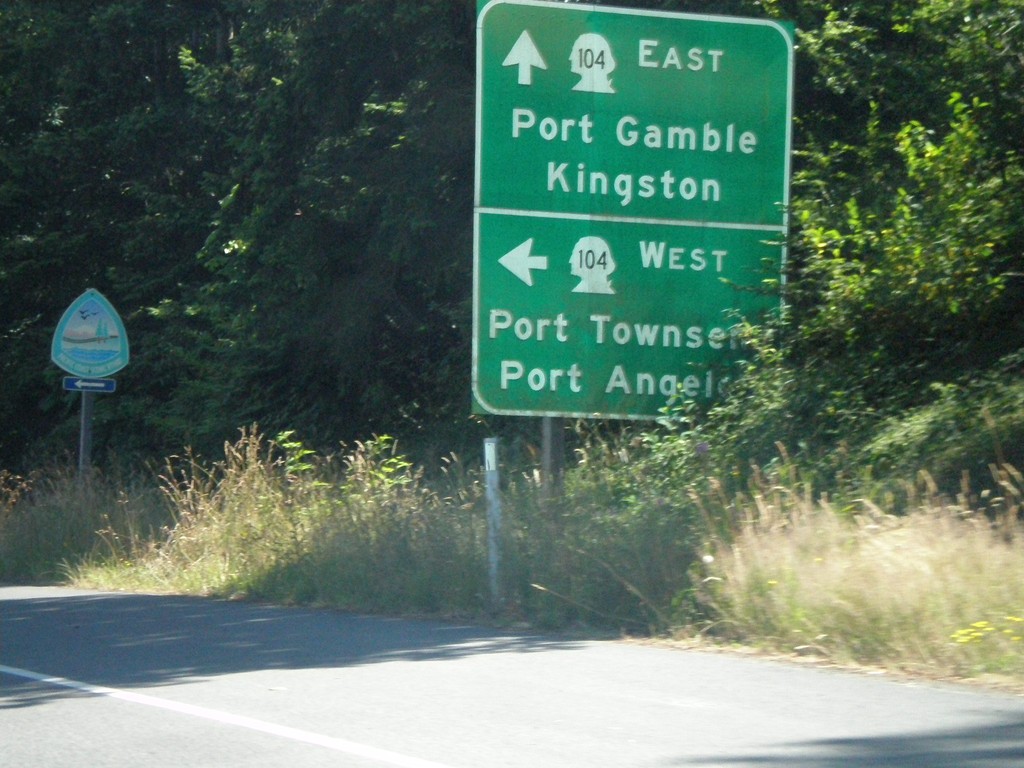
End WA-3 North at WA-104
End WA-3 north at WA-104. WA-104 East to Port Gamble and Kingston. WA-104 West to Port Townsend and Port Angeles.
Taken 07-24-2008

 Poulsbo
Kitsap County
Washington
United States
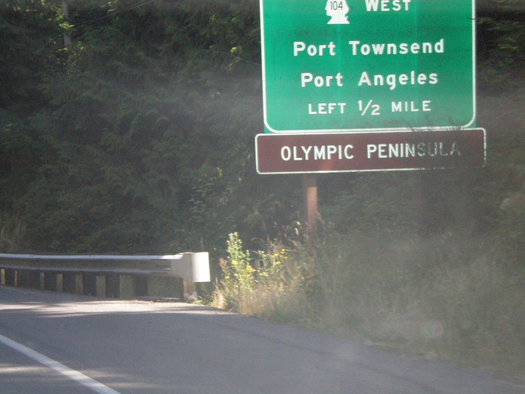
WA-3 North Approaching WA-104
WA-3 north approaching WA-104 West/Port Townsend/Port Angeles. Use WA-104 west for the Olympic Peninsula.
Taken 07-24-2008

 Poulsbo
Kitsap County
Washington
United States
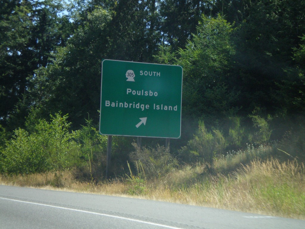
WA-3 North at WA-305
WA-3 north at WA-305 South/Poulsbo/Bainbridge Island exit
Taken 07-24-2008

 Poulsbo
Kitsap County
Washington
United States
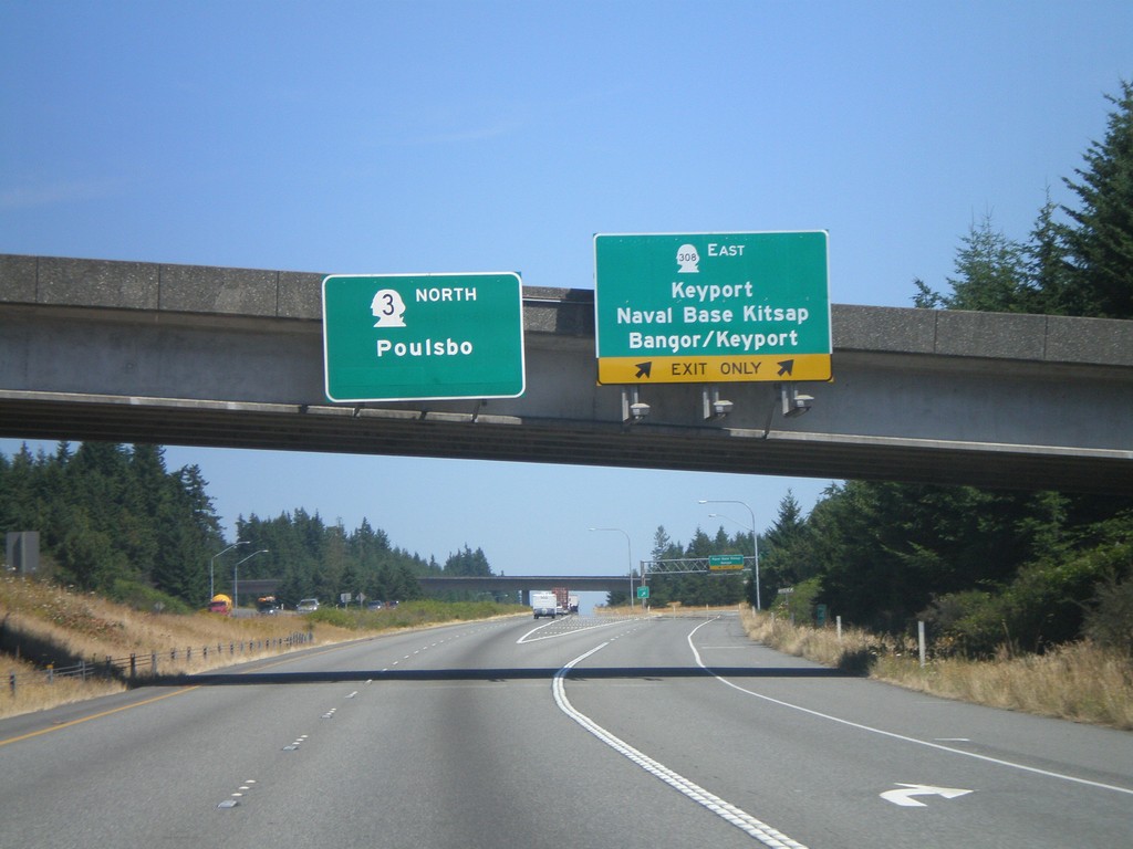
WA-3 North at WA-308 East
WA-3 north at WA-308 East/Keyport/Naval Base Kitsap/Bangor/Keyport
Taken 07-24-2008

 Silverdale
Kitsap County
Washington
United States
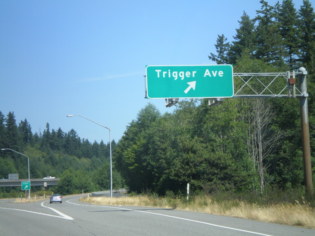
WA-3 North - Trigger Ave. Exit
WA-3 north at Trigger Ave. exit
Taken 07-24-2008
 Silverdale
Kitsap County
Washington
United States
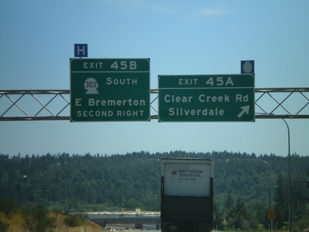
WA-3 North - Exit 45B and Exit 45A
WA-3 north at Exit 45A - Clear Creek Road/Silverdale. Approaching Exit 45B - WA-303 South/East Bremerton.
Taken 07-24-2008

 Silverdale
Kitsap County
Washington
United States
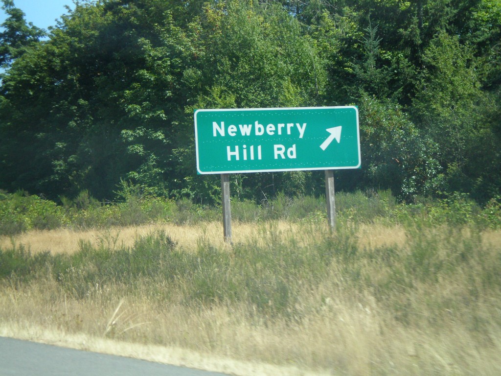
WA-3 North - Newberry Hill Road Exit
WA-3 north at Newberry Hill Road exit
Taken 07-24-2008
 Bremerton
Kitsap County
Washington
United States
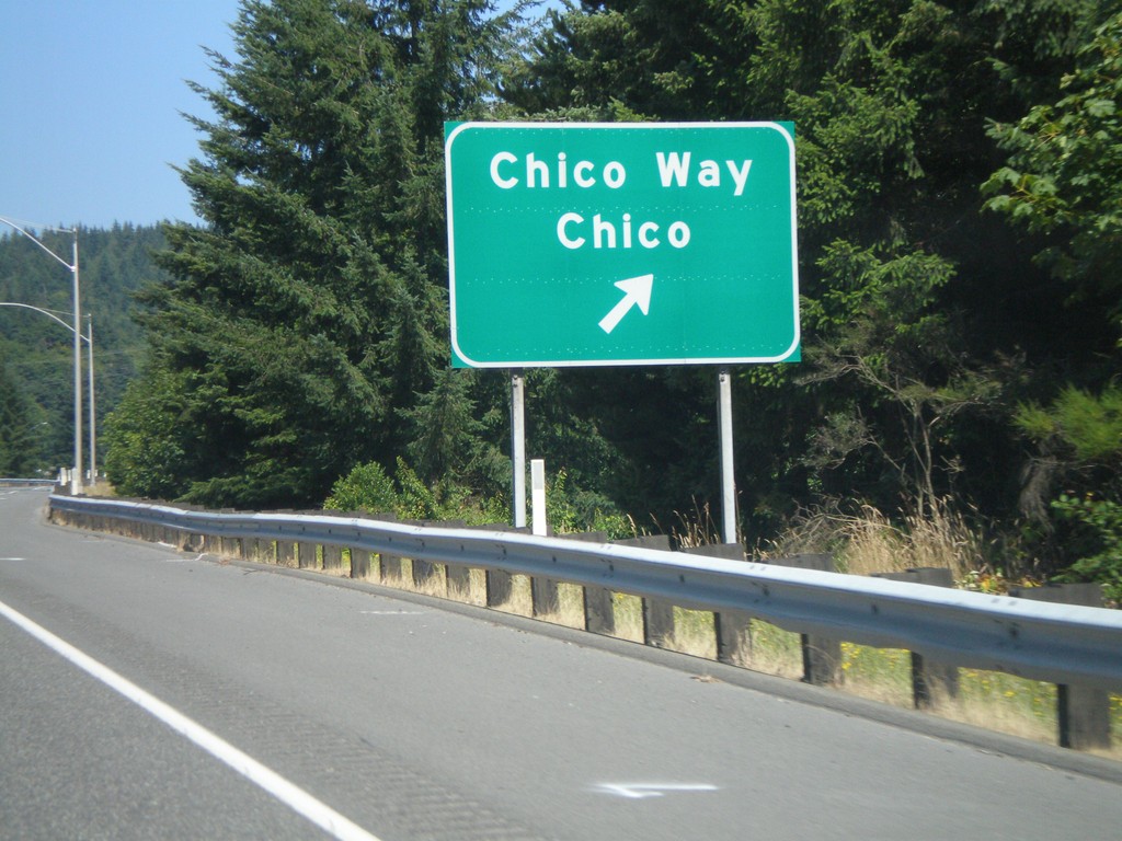
WA-3 North - Chico Way Exit
WA-3 north at Chico Way/Chico exit.
Taken 07-24-2008
 Bremerton
Kitsap County
Washington
United States
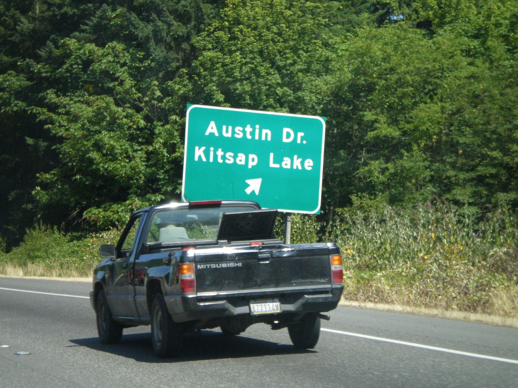
WA-3 North - Austin Dr. Exit
WA-3 north at Austin Dr./Kitsap Lake exit.
Taken 07-24-2008
 Bremerton
Kitsap County
Washington
United States
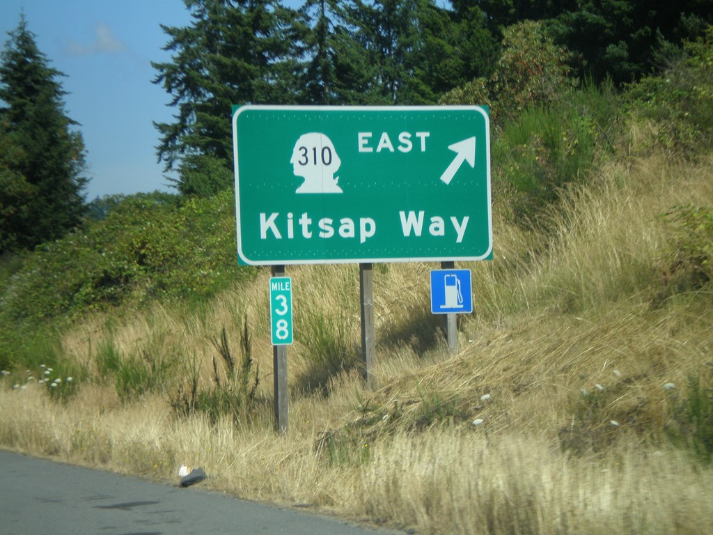
WA-3 North - WA-310 East Exit
WA-3 north at WA-310 East/Kitsap Way
Taken 07-24-2008

 Bremerton
Kitsap County
Washington
United States
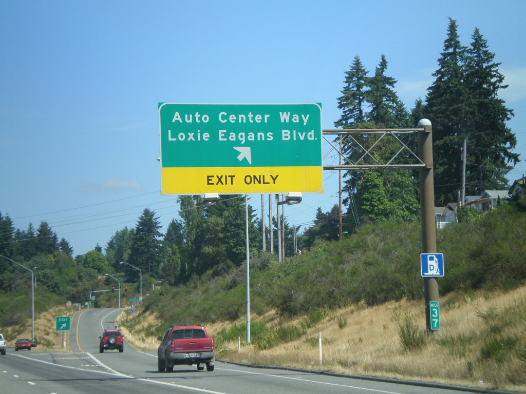
WA-3 North - Auto Center Way Exit
WA-3 north at Auto Center Way/Loxie Eagans Blvd. exit.
Taken 07-24-2008
 Bremerton
Kitsap County
Washington
United States
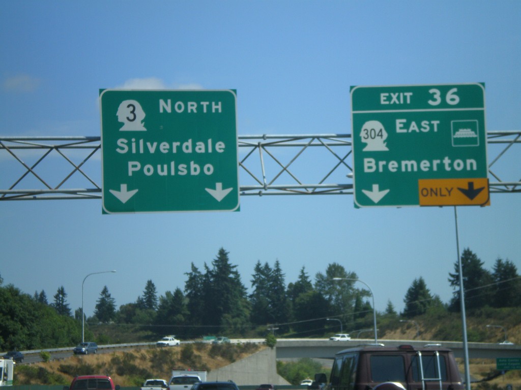
WA-3 North - Exit 36
WA-3 north at Exit 36 - WA-304 East/Bremerton. Overhead for WA-3 north to Silverdale and Poulsbo
Taken 07-24-2008

 Navy Yard City
Kitsap County
Washington
United States
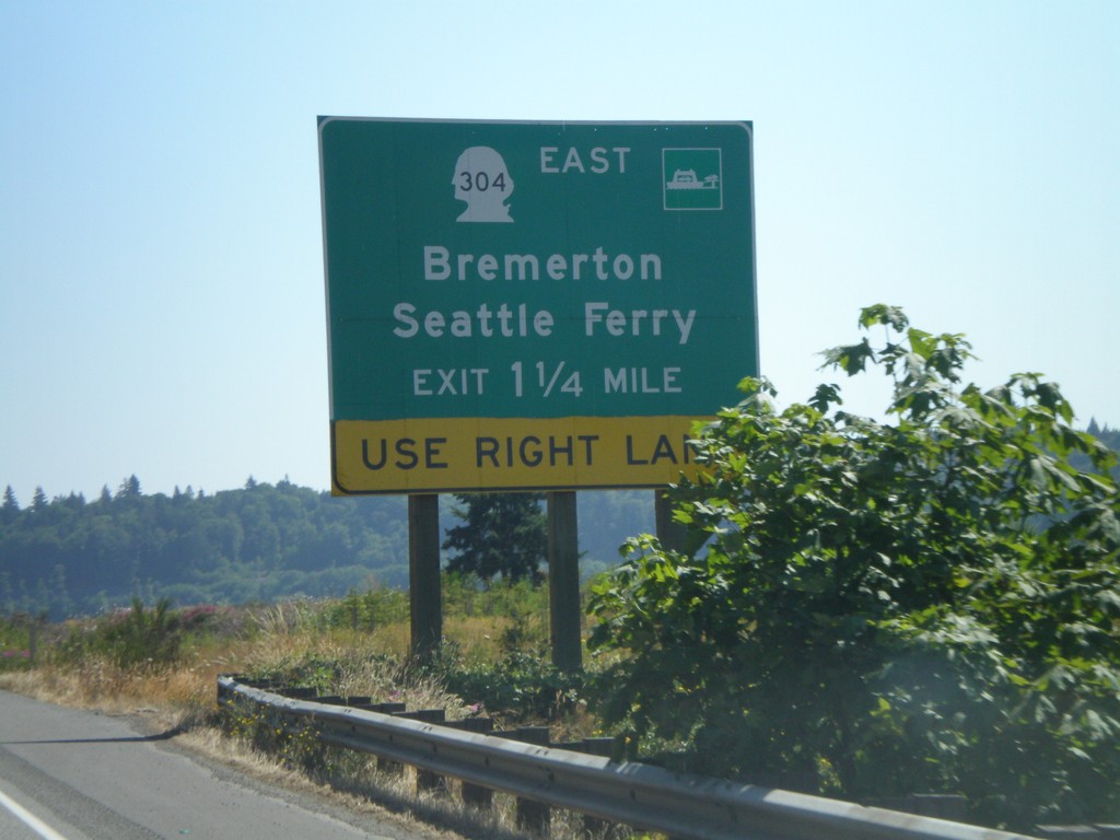
WA-3 North - WA-304 East Exit
WA-3 north approaching WA-304 East/Bremerton/Seattle Ferry
Taken 07-24-2008

 Bremerton
Kitsap County
Washington
United States
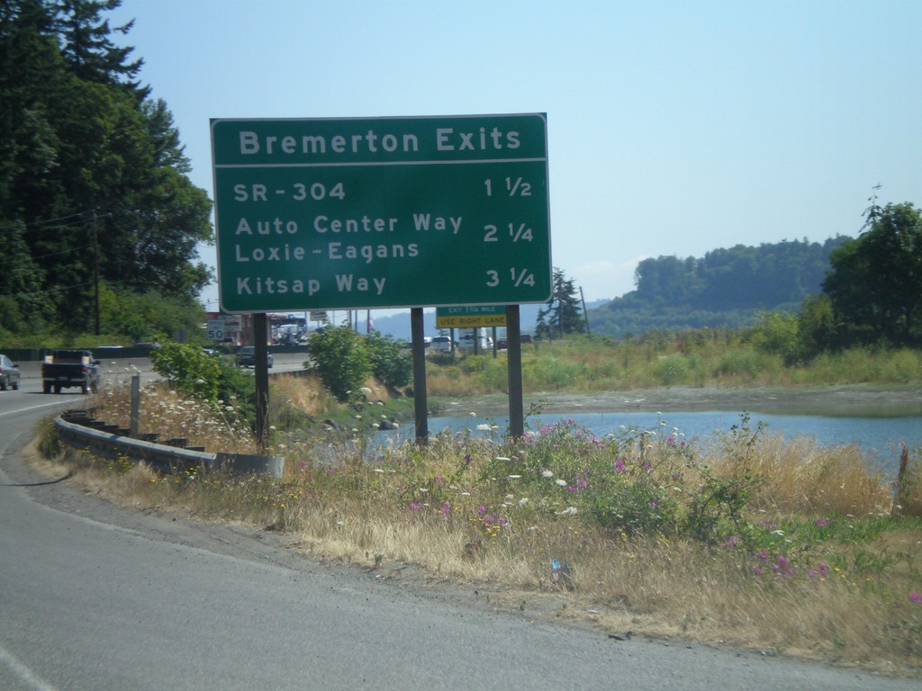
WA-3 North - Bremerton Exits
Bremerton exits on WA-3 north.
Taken 07-24-2008
 Bremerton
Kitsap County
Washington
United States