Signs Tagged With Big Green Sign
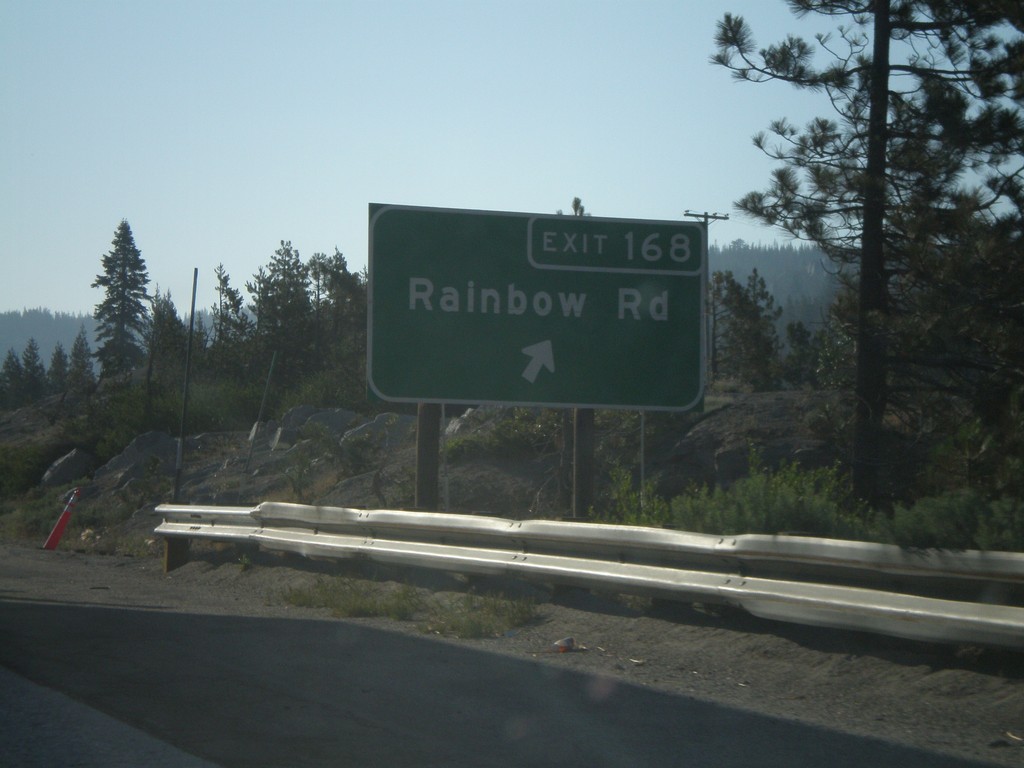
I-80 East Exit 168
I-80 east at Exit 168 - Rainbow Road
Taken 07-07-2008
 Emigrant Gap
Placer County
California
United States
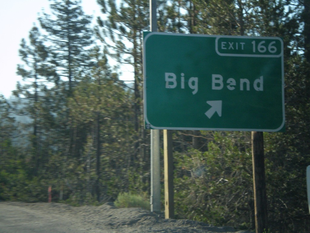
I-80 East Exit 166
I-80 east at Exit 166 - Big Bend
Taken 07-07-2008
 Big Bend
Placer County
California
United States
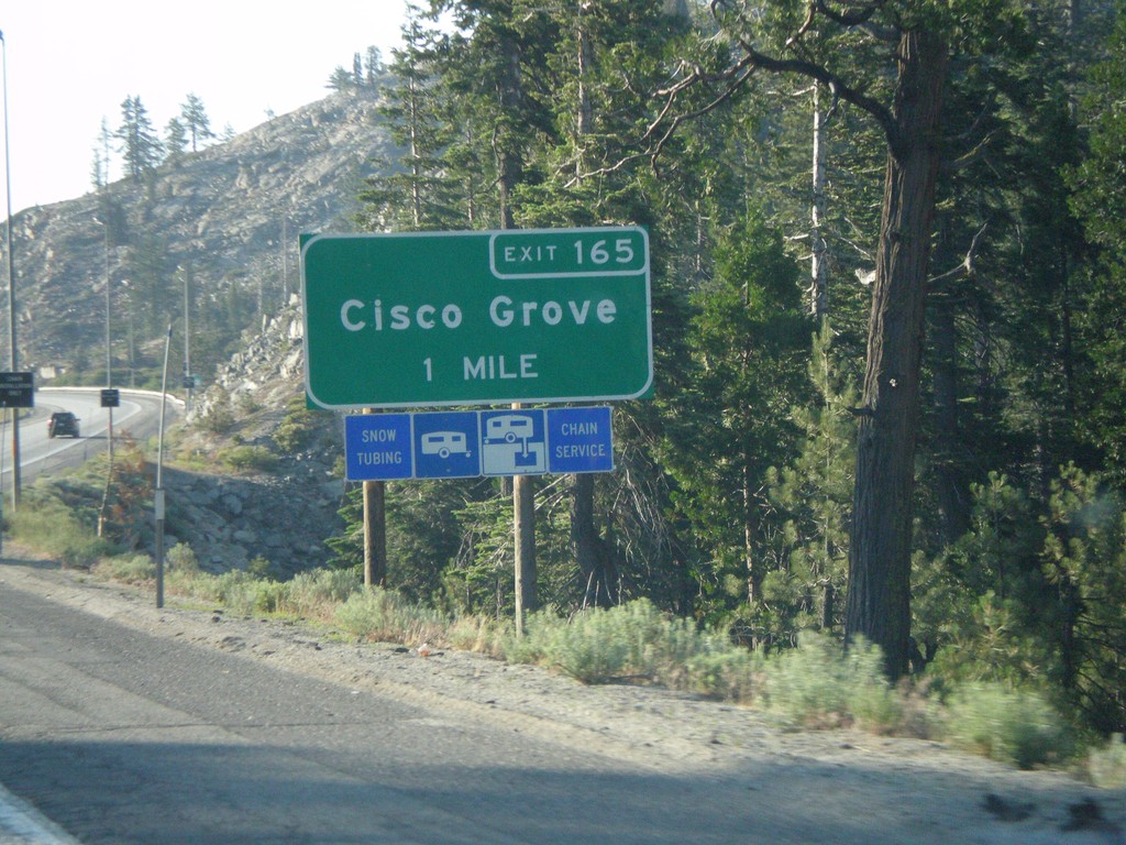
I-80 East Exit 165
I-80 east approaching Exit 165 - Cisco Grove
Taken 07-07-2008
 Emigrant Gap
Nevada County
California
United States
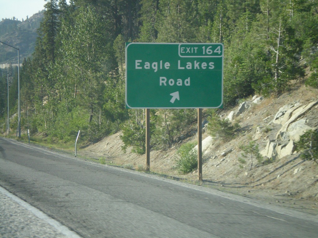
I-80 East Exit 164
I-80 east at Exit 164 - Eagle Lakes Road
Taken 07-07-2008
 Nevada City
Nevada County
California
United States
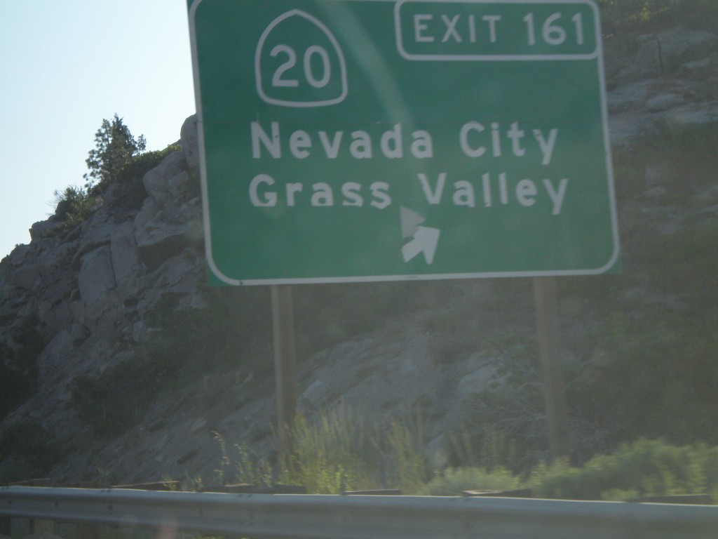
I-80 East Exit 161
I-80 east at Exit 161 - CA-20/Nevada City/Grass Valley
Taken 07-07-2008

 Yuba Pass
Nevada County
California
United States
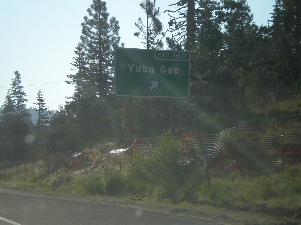
I-80 East Exit 160
I-80 east at Exit 160 - Yuba Gap
Taken 07-07-2008
 Yuba Pass
Nevada County
California
United States
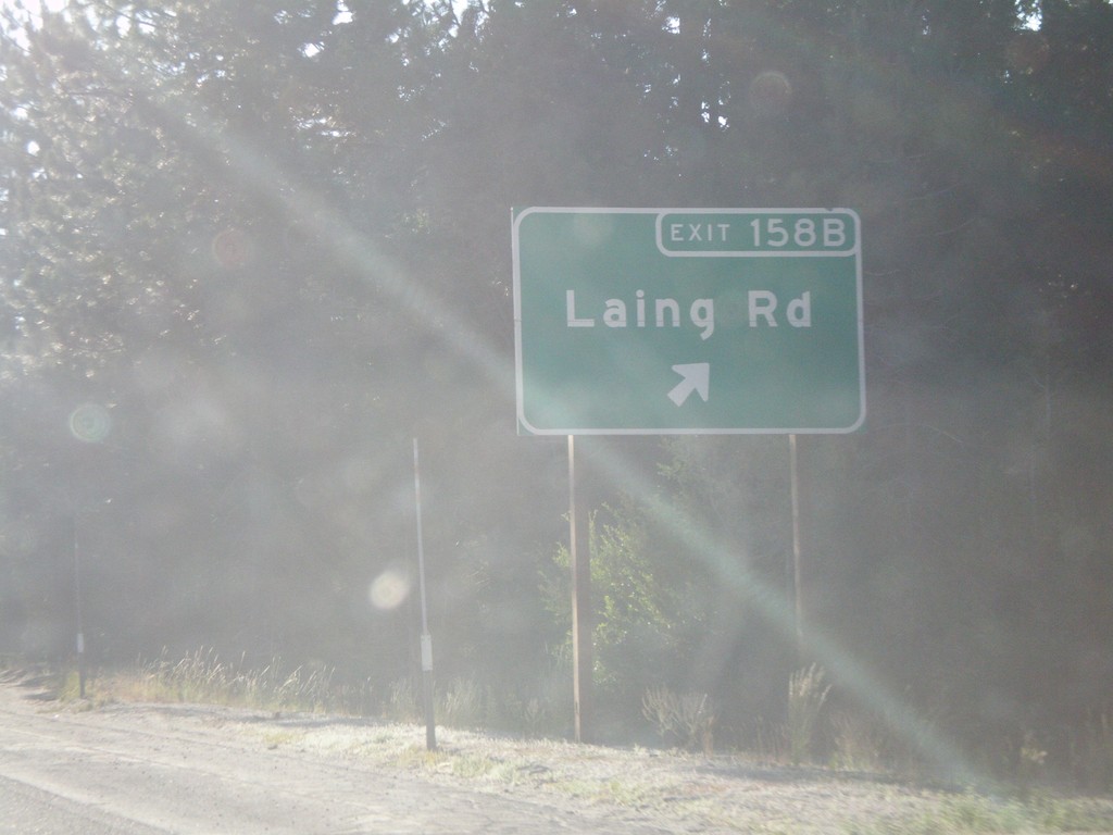
I-80 East Exit 158B
I-80 east at Exit 158B - Laing Road
Taken 07-07-2008
 Emigrant Gap
Placer County
California
United States
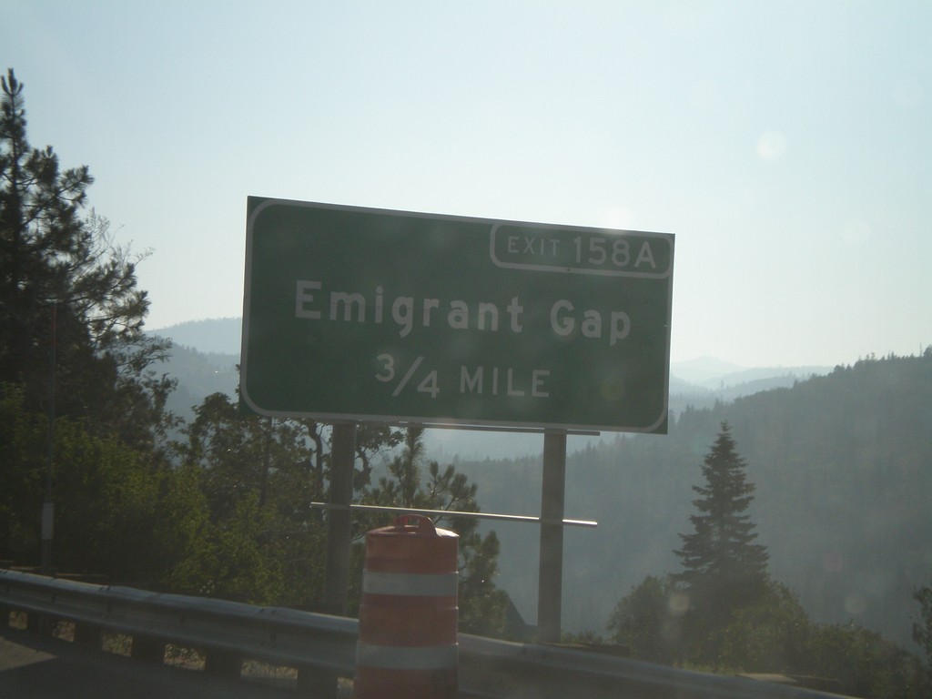
I-80 East Exit 158A
I-80 east approaching Exit 158A - Emigrant Gap
Taken 07-07-2008
 Emigrant Gap
Placer County
California
United States
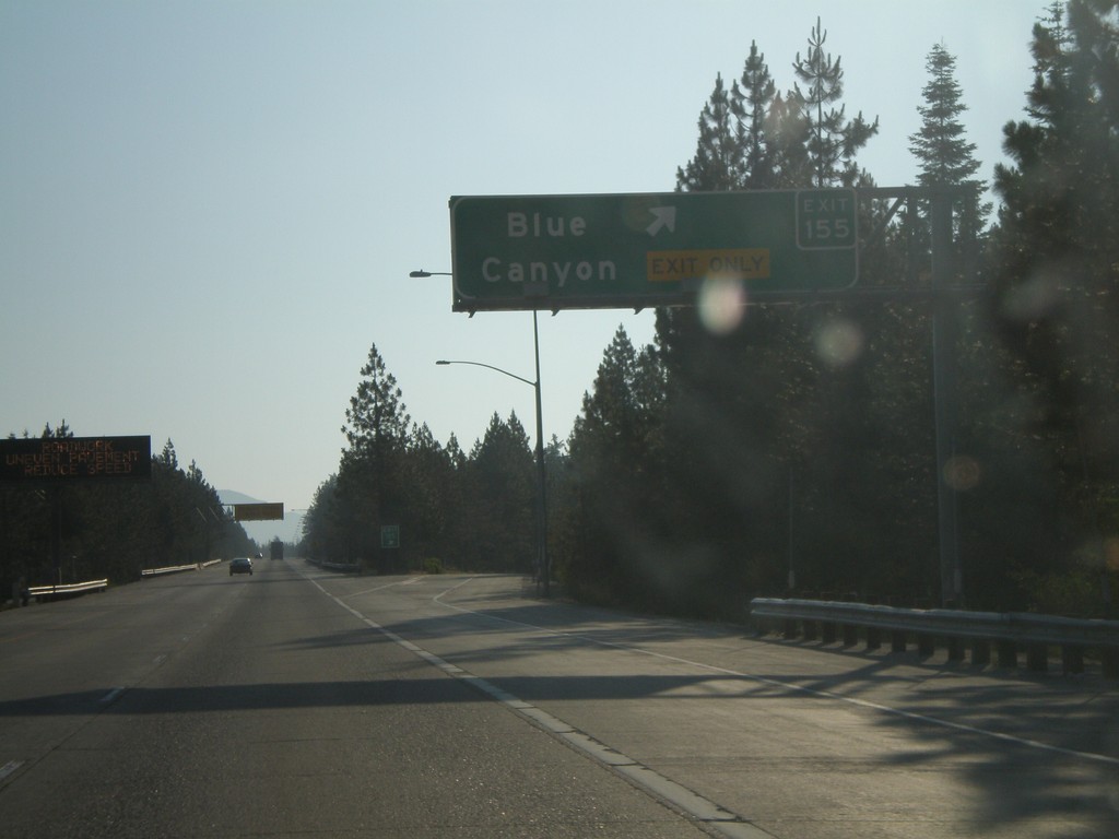
I-80 East Exit 155
I-80 east at Exit 155 - Blue Canyon
Taken 07-07-2008
 Blue Canyon
Placer County
California
United States
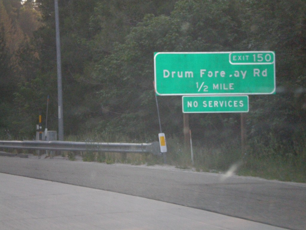
I-80 East Exit 150
I-80 east approaching Exit 150 - Drum Forebay Road.
Taken 07-07-2008
 Alta
Placer County
California
United States
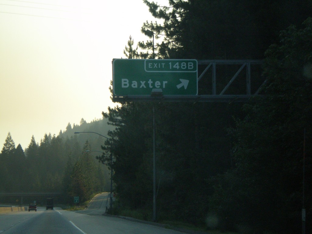
I-80 East Exit 148B
I-80 east at Exit 148B - Baxter
Taken 07-07-2008
 Alta
Placer County
California
United States
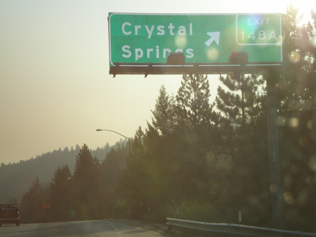
I-80 East Exit 148A
I-80 east at Exit 148A - Crystal Springs
Taken 07-07-2008
 Alta
Placer County
California
United States
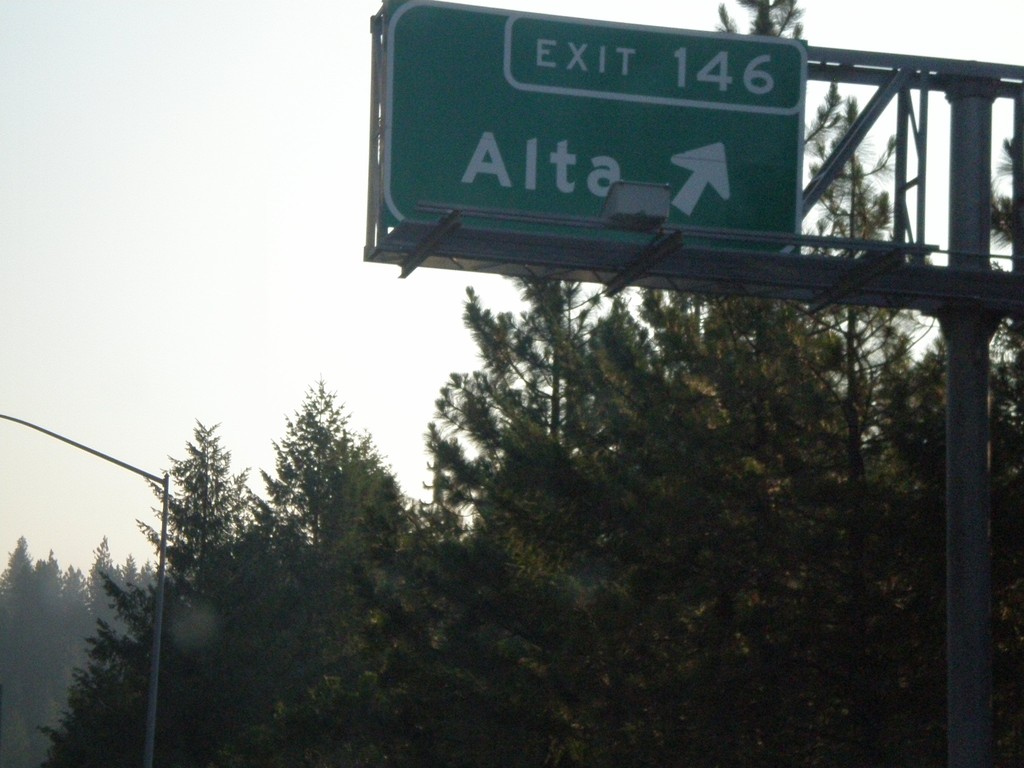
I-80 East Exit 146
I-80 east at Exit 146 - Alta.
Taken 07-07-2008
 Dutch Flat
Placer County
California
United States
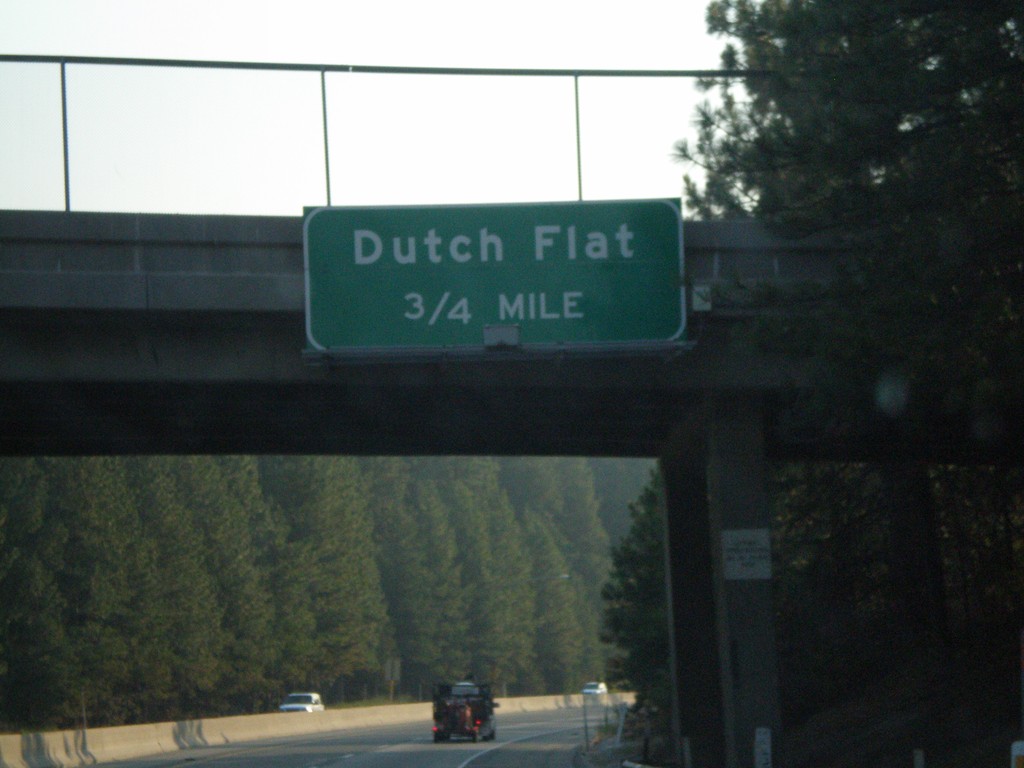
I-80 East Exit 145
I-80 east approaching Exit 145 - Dutch Flat.
Taken 07-07-2008
 Gold Run
Placer County
California
United States
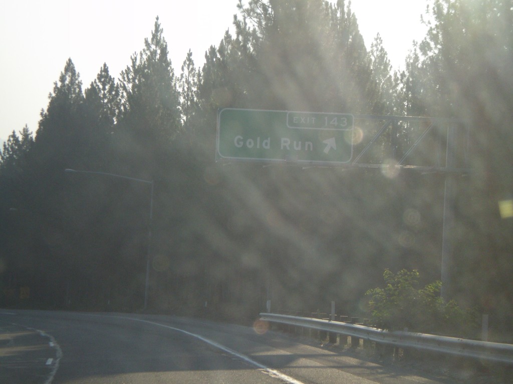
I-80 East Exit 143
I-80 east at Exit 143 - Gold Run.
Taken 07-07-2008
 Gold Run
Placer County
California
United States
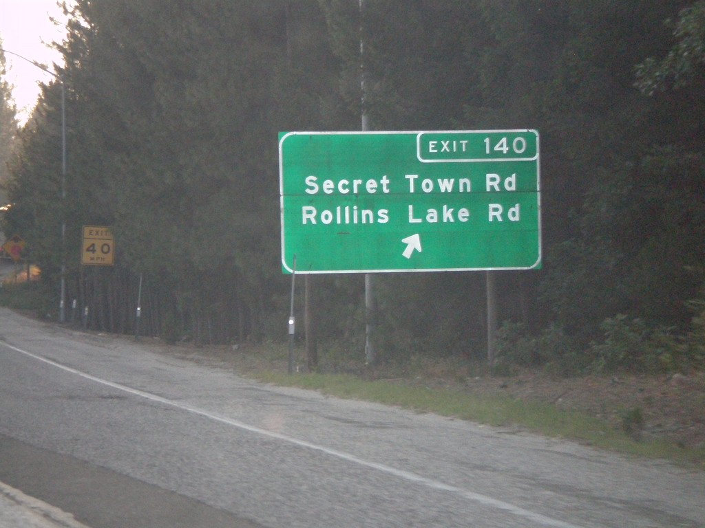
I-80 East Exit 140
I-80 east at Exit 140 - Secret Town Road/Rollins Lake Road.
Taken 07-07-2008
 Colfax
Placer County
California
United States
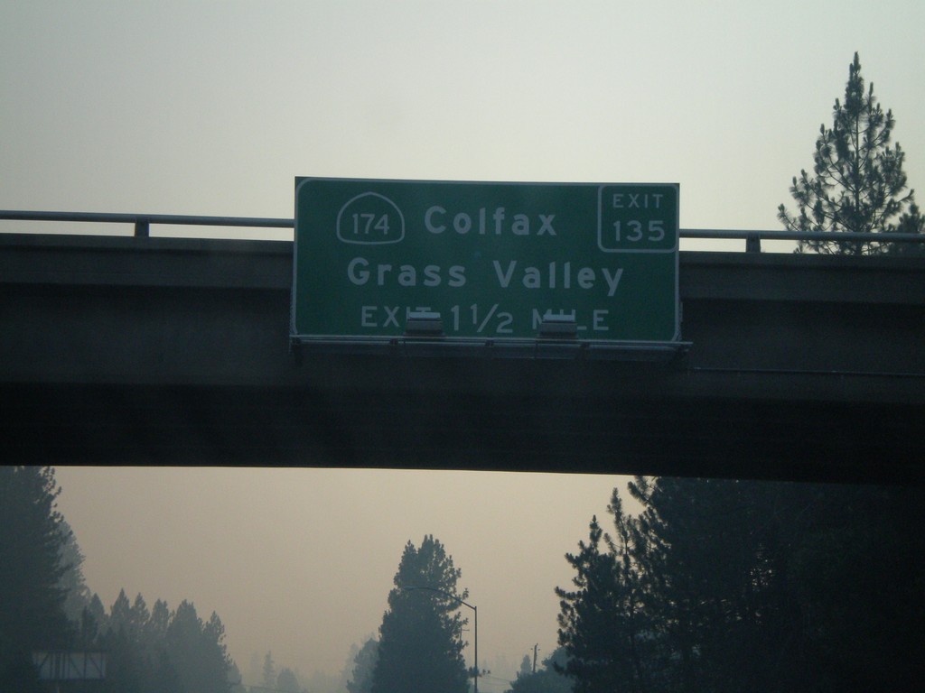
I-80 East Exit 135
I-80 east approaching Exit 135 - CA-174/Colfax/Grass Valley.
Taken 07-07-2008

 Colfax
Placer County
California
United States
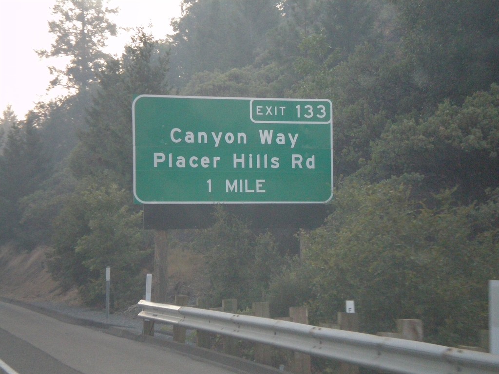
I-80 East Exit 133
I-80 east approaching Exit 133 - Canyon Way/Placer Hills Road.
Taken 07-07-2008
 Colfax
Placer County
California
United States
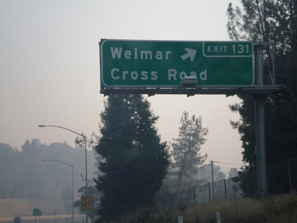
I-80 East Exit 131
I-80 east at Exit 131 - Weimar Cross Road.
Taken 07-07-2008
 Colfax
Placer County
California
United States
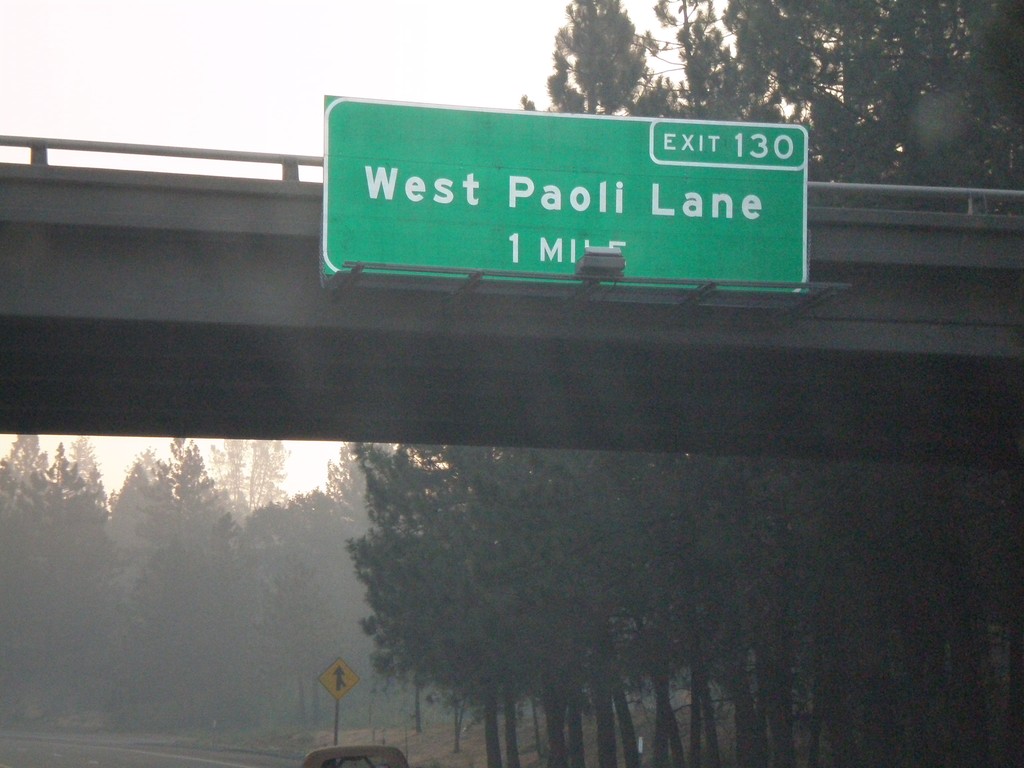
I-80 East Exit 130
I-80 east approaching Exit 130 - West Paoli Lane.
Taken 07-07-2008
 Applegate
Placer County
California
United States
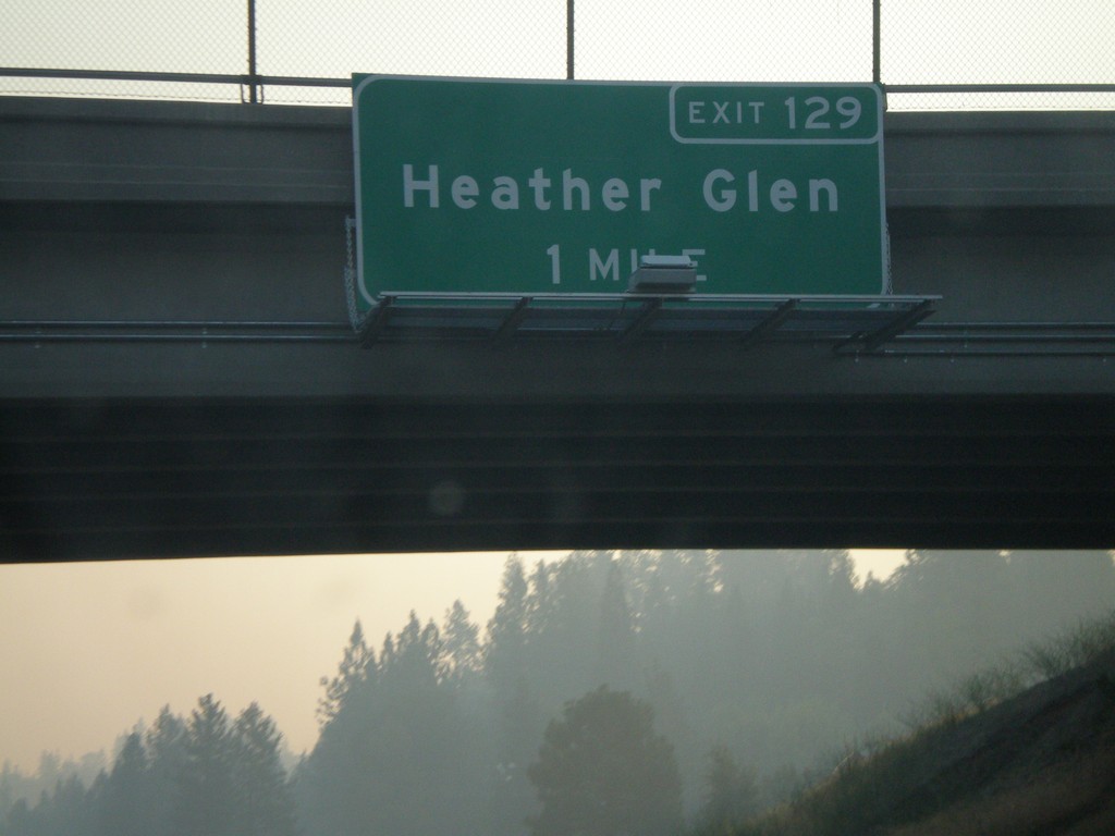
I-80 East Exit 129
I-80 east approaching Exit 129 - Heather Glen.
Taken 07-07-2008
 Applegate
Placer County
California
United States
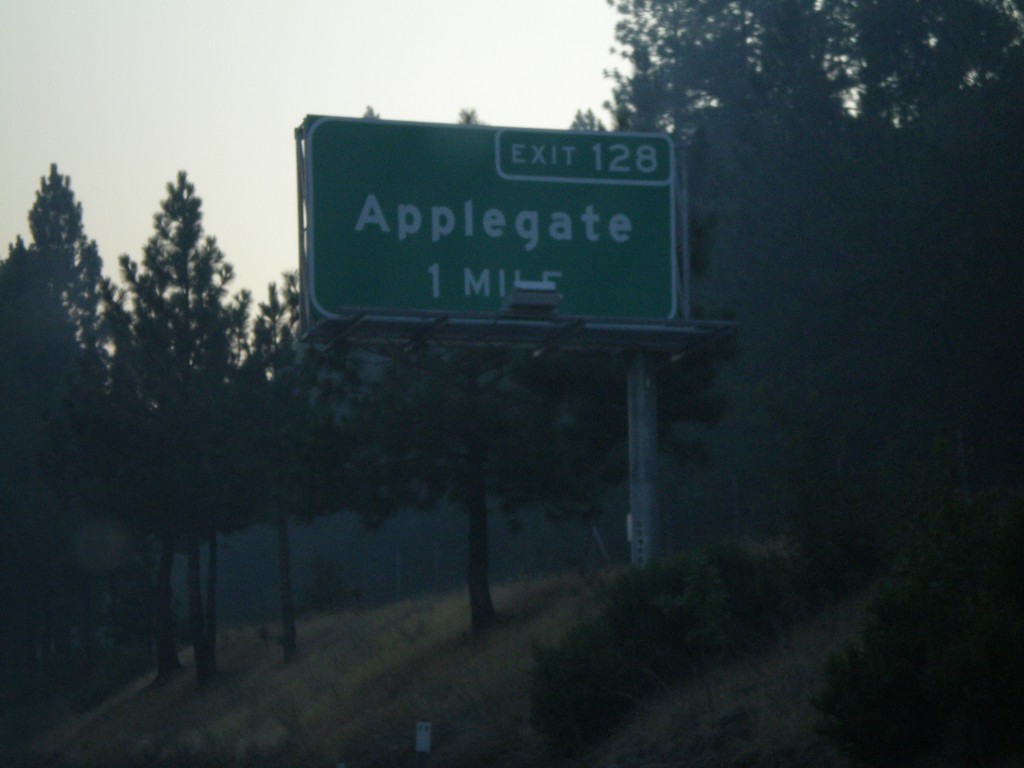
I-80 East Exit 128
I-80 east approaching Exit 128 - Applegate.
Taken 07-07-2008
 Applegate
Placer County
California
United States
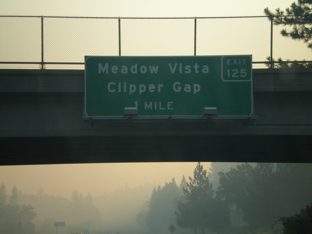
I-80 East Exit 125
I-80 east approaching Exit 125 - Meadow Vista/Clipper Gap.
Taken 07-07-2008
 North Auburn
Placer County
California
United States
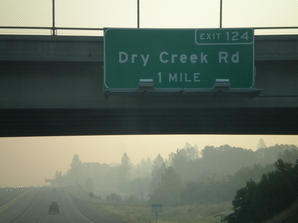
I-80 East Exit 124
I-80 east approaching Exit 124 - Dry Creek Road.
Taken 07-07-2008
 Auburn
Placer County
California
United States
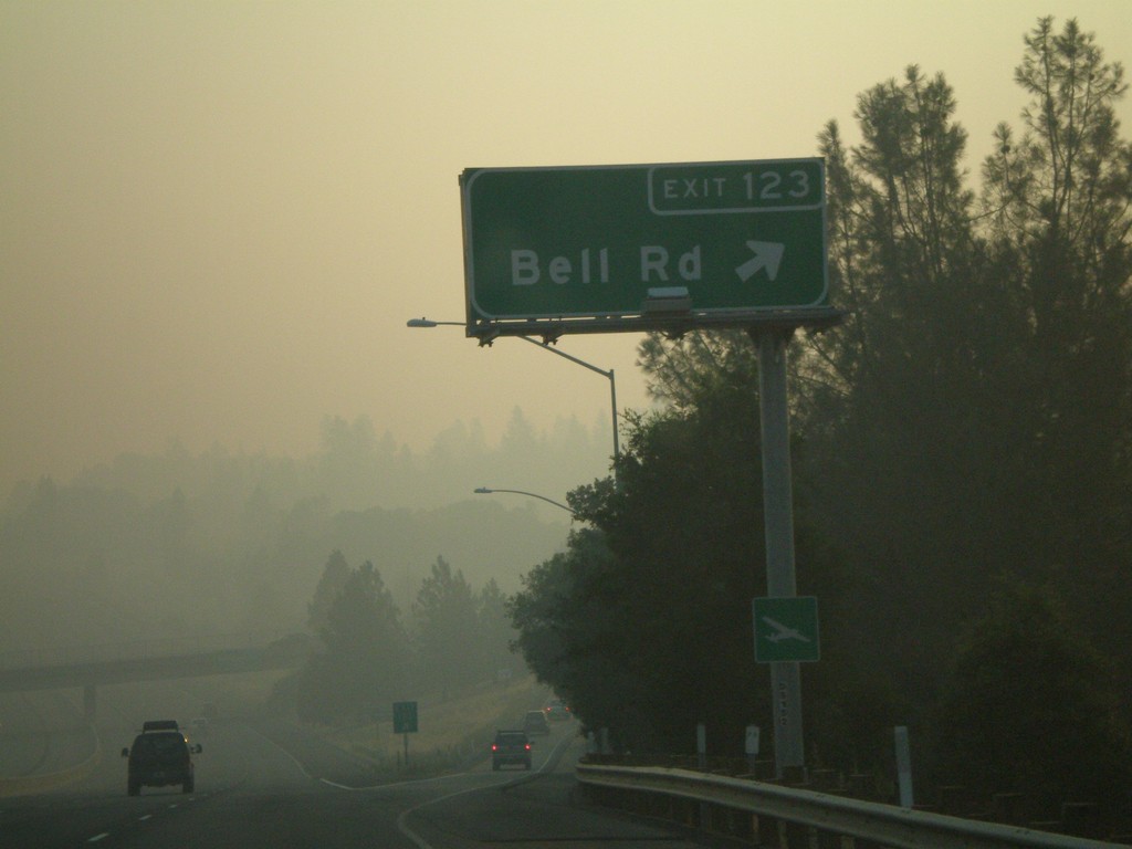
I-80 East Exit 123
I-80 east at Exit 123 - Bell Road.
Taken 07-07-2008
 Bowman
Placer County
California
United States