Signs Tagged With Big Green Sign
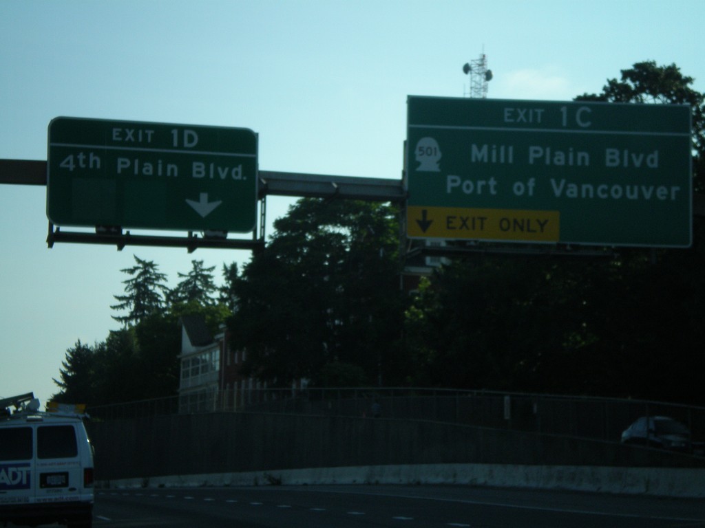
I-5 North - Exit 1C and Exit 1D
I-5 north approaching Exit 1C - WA-501/Mill Plain Blvd./Port of Vancouver and Exit 1D - 4th Plain Blvd.
Taken 07-24-2008

 Vancouver
Clark County
Washington
United States
Vancouver
Clark County
Washington
United States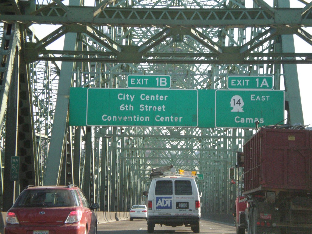
I-5 North - Exit 1A and Exit 1B (Washington)
I-5 north approaching Washington Exit 1A - WA-14 East/Camas and Exit 1B - City Center/6th St./Convention Center. Taken on Interstate Bridge over Columbia River.
Taken 07-24-2008
Portland
Multnomah County
Oregon
United States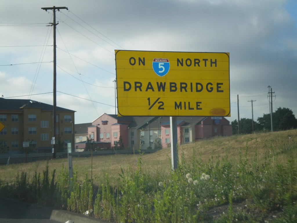
I-5 North Exit 307 Onramp - Drawbridge
Exit 307 onramp onto I-5 north. Warning sign for drawbridge on I-5 north over the Columbia River.
Taken 07-24-2008
Portland
Multnomah County
Oregon
United States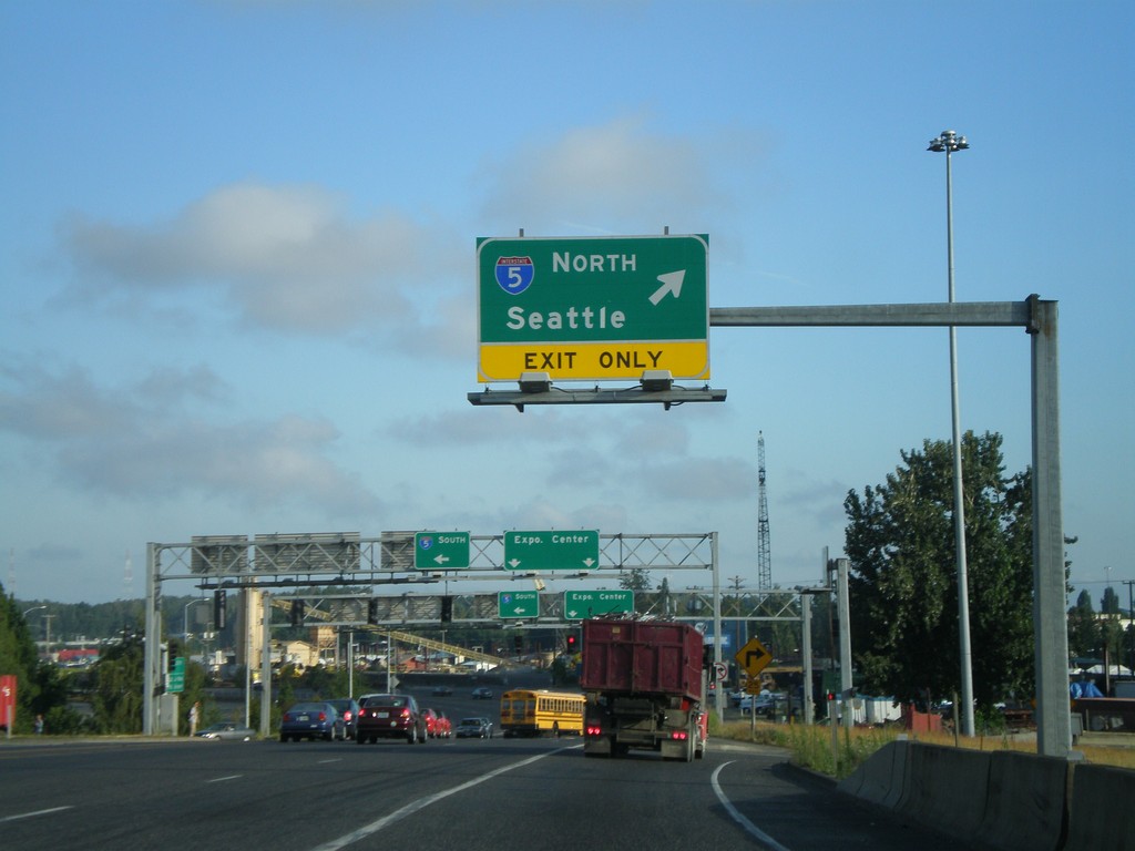
Marine Drive West at I-5 North
Marine Drive west at I-5 north onramp to Seattle.
Taken 07-24-2008
Portland
Multnomah County
Oregon
United States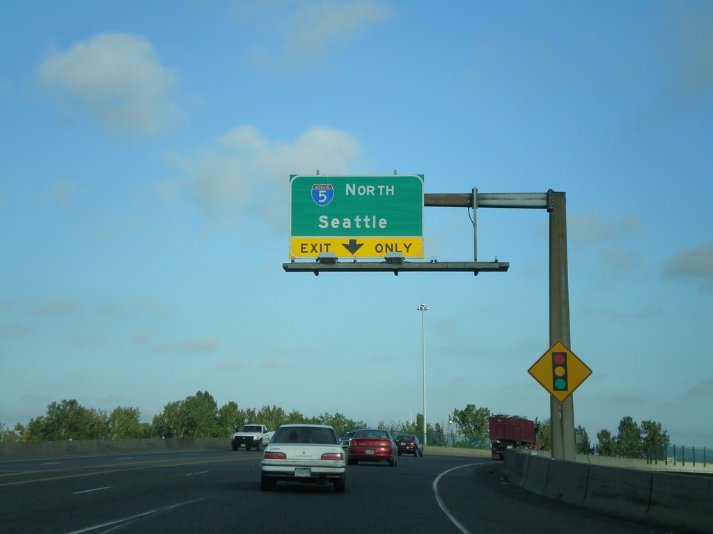
Marine Drive West Approaching I-5 North
Marine Drive west approaching I-5 north onramp (Exit 307) towards Seattle.
Taken 07-24-2008
Portland
Multnomah County
Oregon
United States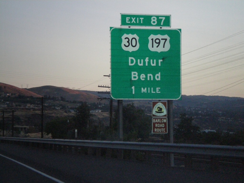
I-84 West - Exit 87
I-84 west approaching Exit 87 - US-30/US-197/Dufur/Bend
Taken 07-23-2008


 The Dalles
Wasco County
Oregon
United States
The Dalles
Wasco County
Oregon
United States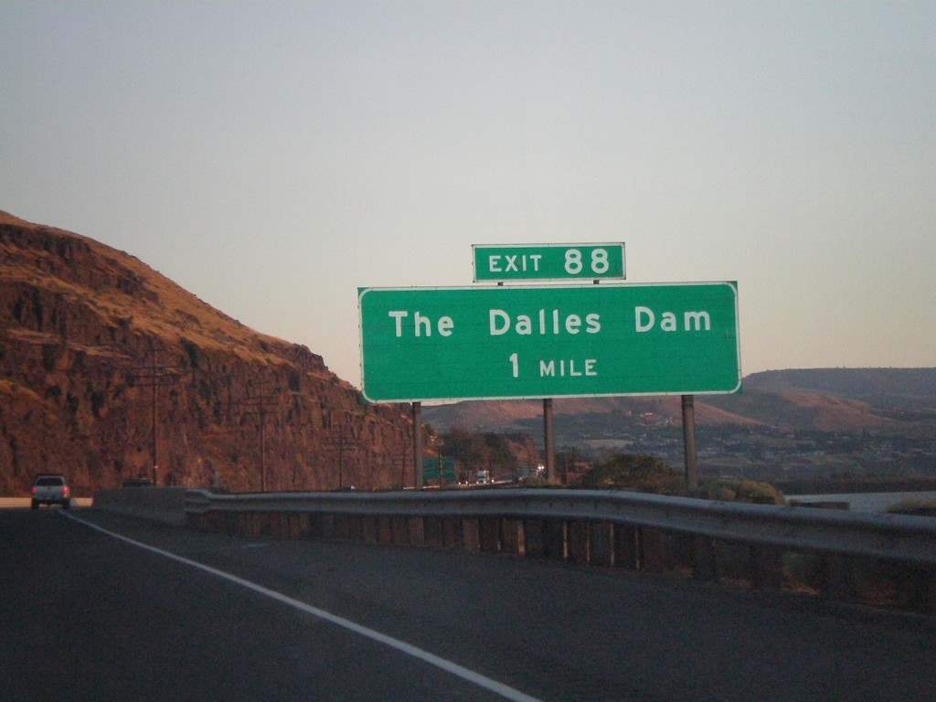
I-84 West - Exit 88
I-84 west approaching Exit 88 - The Dalles Dam
Taken 07-23-2008
The Dalles
Wasco County
Oregon
United States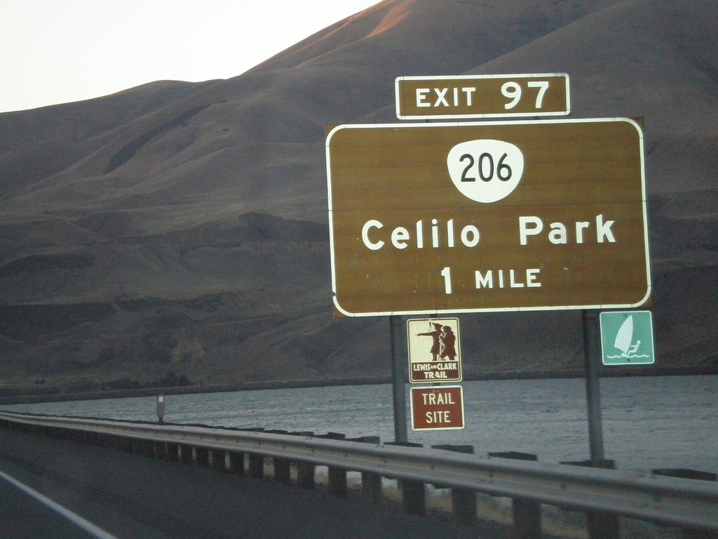
I-84 West - Exit 97
I-84 west approaching Exit 97 - OR-206/Celilo Park
Taken 07-23-2008
 The Dalles
Wasco County
Oregon
United States
The Dalles
Wasco County
Oregon
United States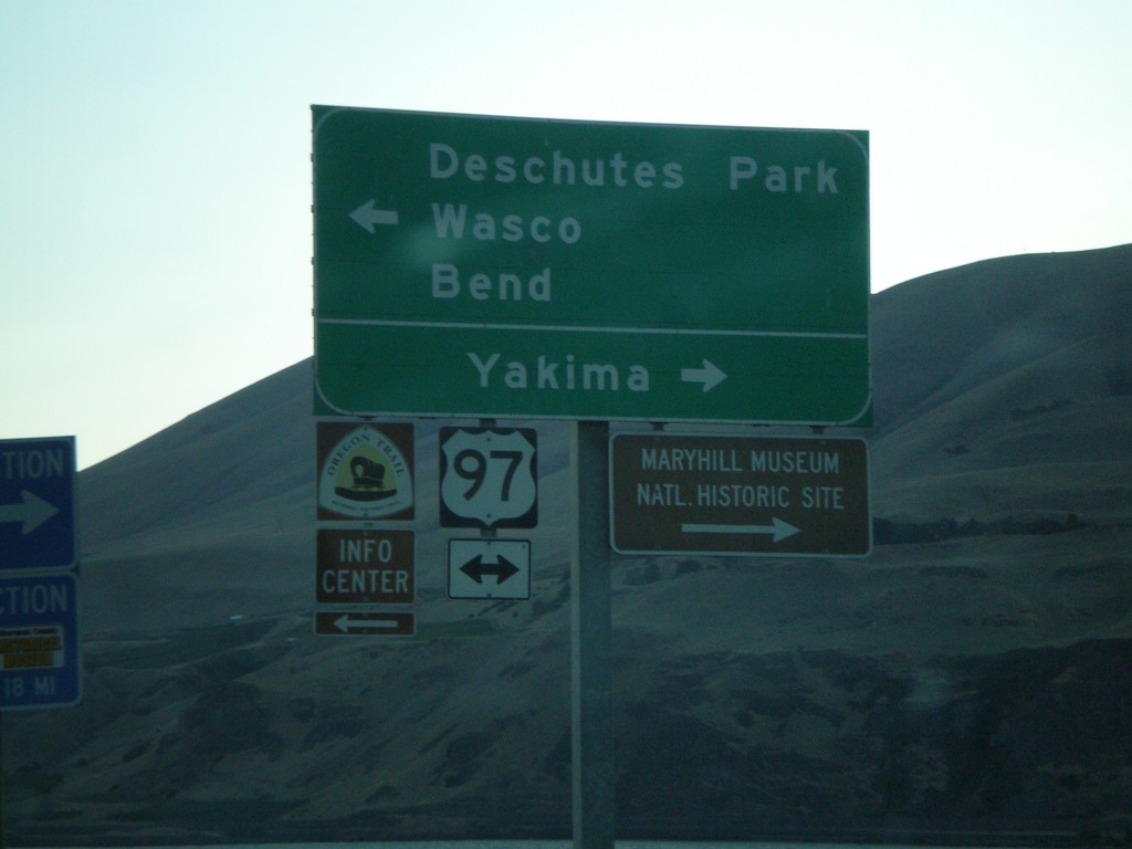
I-84 West Exit 104 Offramp at US-97
I-84 west Exit 104 offramp at US-97. Use US-97 north for Yakima. Use US-97 south for Deschutes Park/Wasco/Bend.
Taken 07-23-2008
 Biggs Junction
Sherman County
Oregon
United States
Biggs Junction
Sherman County
Oregon
United States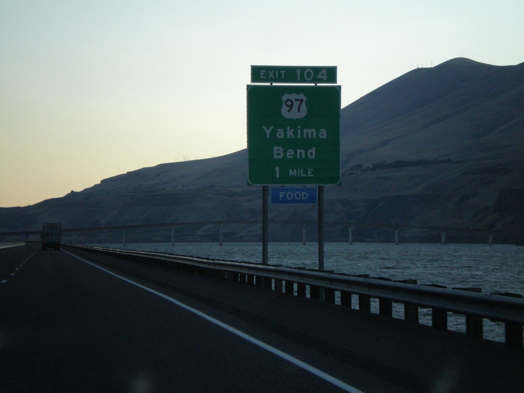
I-84 West - Exit 104
I-84 west approaching Exit 104 - US-97/Yakima/Bend
Taken 07-23-2008
Wasco
Sherman County
Oregon
United States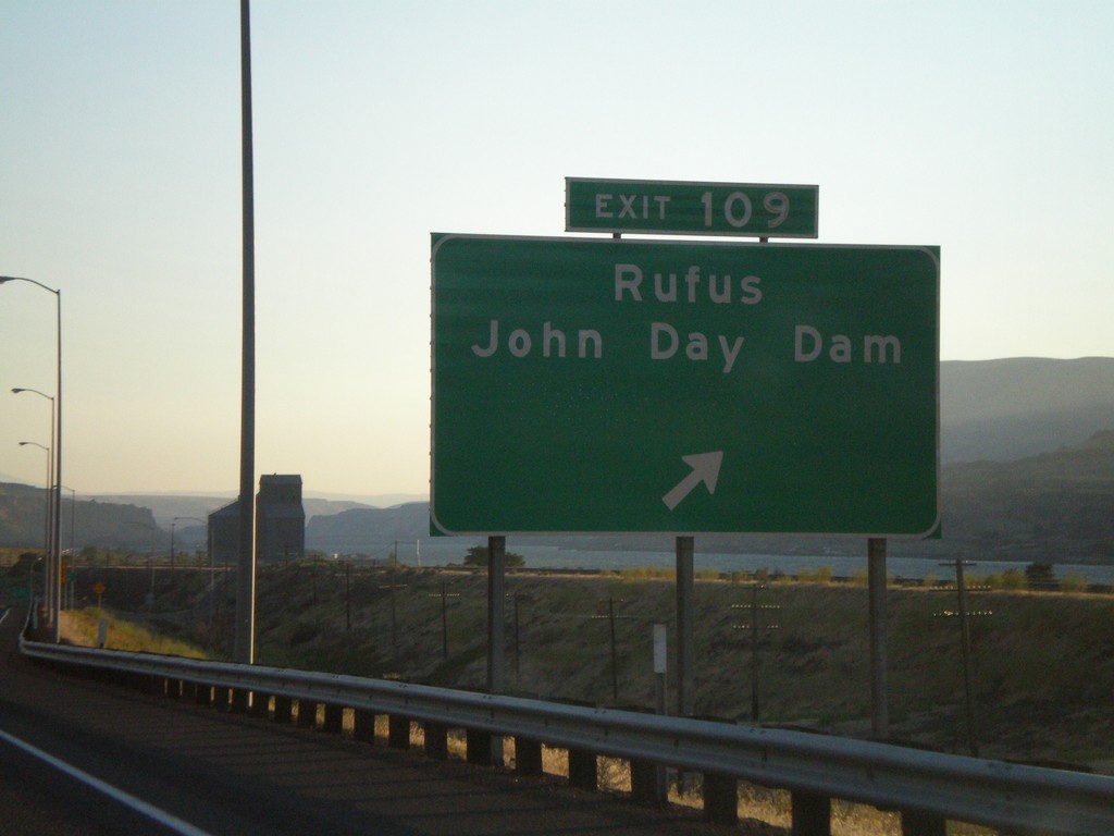
I-84 West - Exit 109
I-84 west at Exit 109 - Rufus/John Day Dam
Taken 07-23-2008
Rufus
Sherman County
Oregon
United States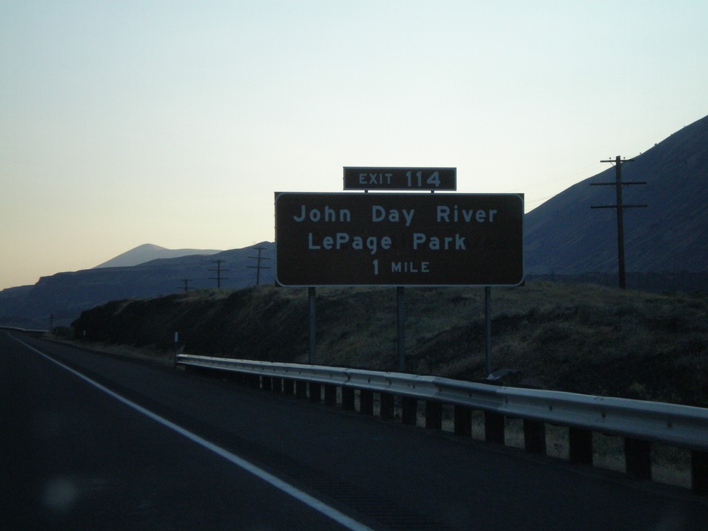
I-84 West - Exit 114
I-84 west approaching Exit 114 - John Day River/LePage Park
Taken 07-23-2008
Arlington
Gilliam County
Oregon
United States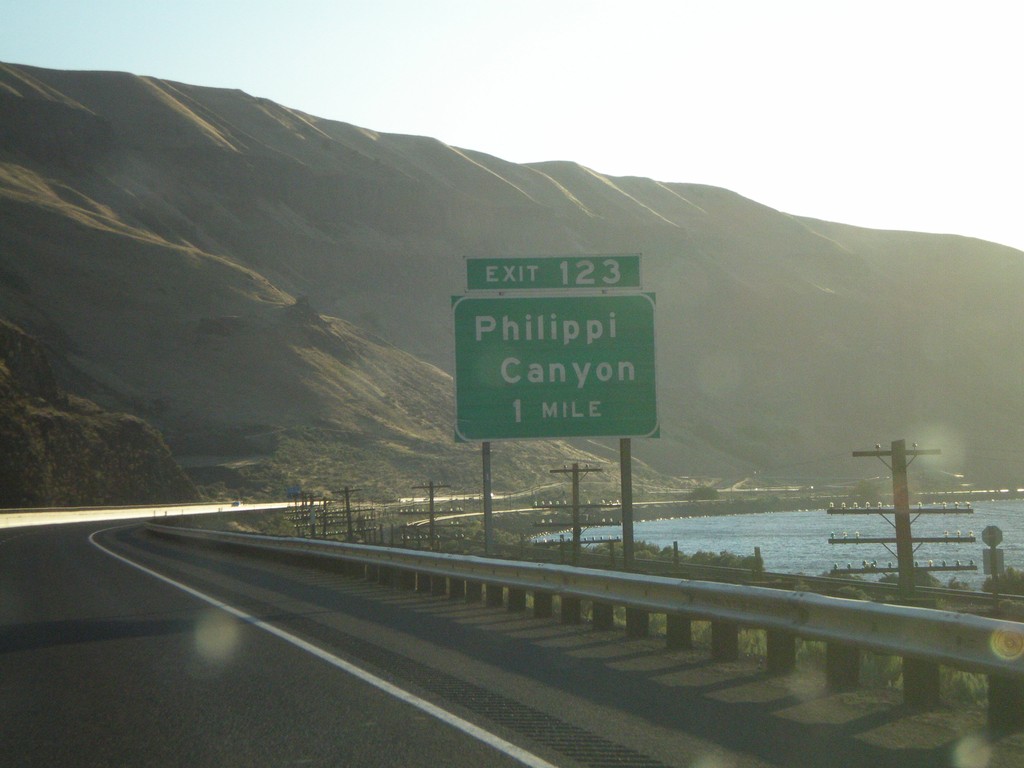
I-84 West - Exit 123
I-84 west approaching Exit 123 - Philippi Canyon
Taken 07-23-2008
Arlington
Gilliam County
Oregon
United States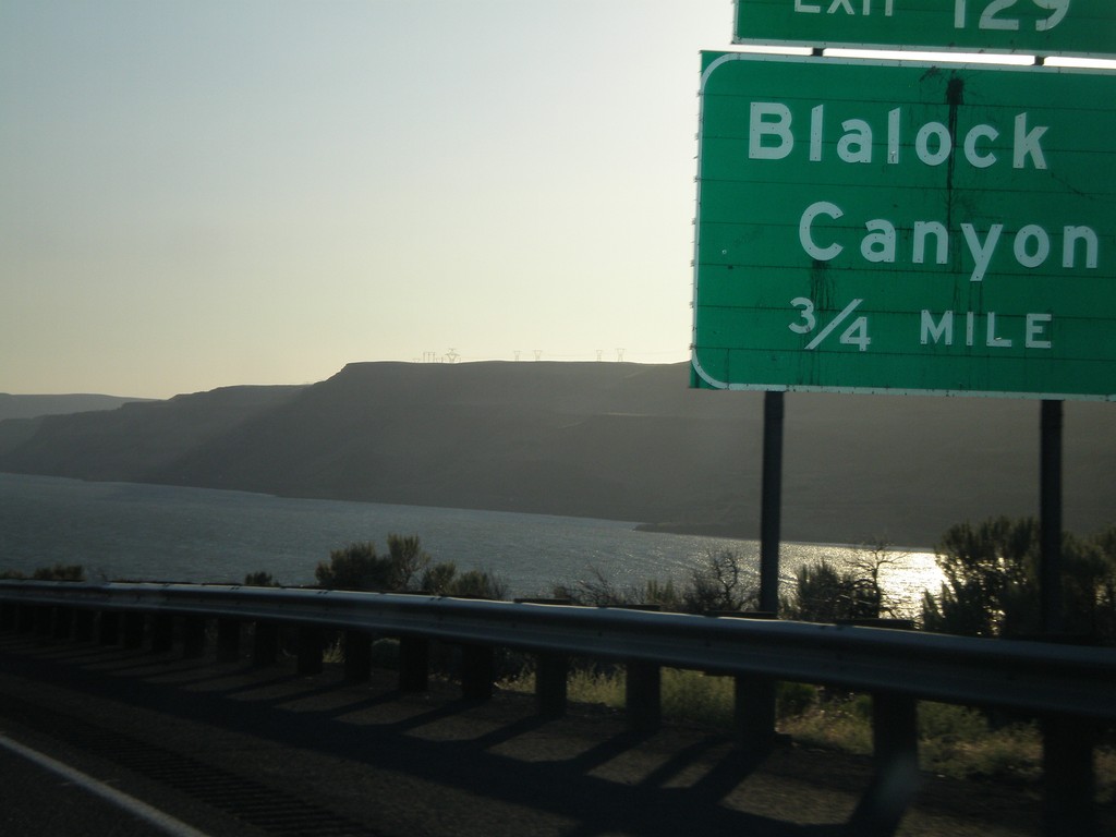
I-84 West - Exit 129
I-84 west approaching Exit 129 - Blalock Canyon
Taken 07-23-2008
Arlington
Gilliam County
Oregon
United States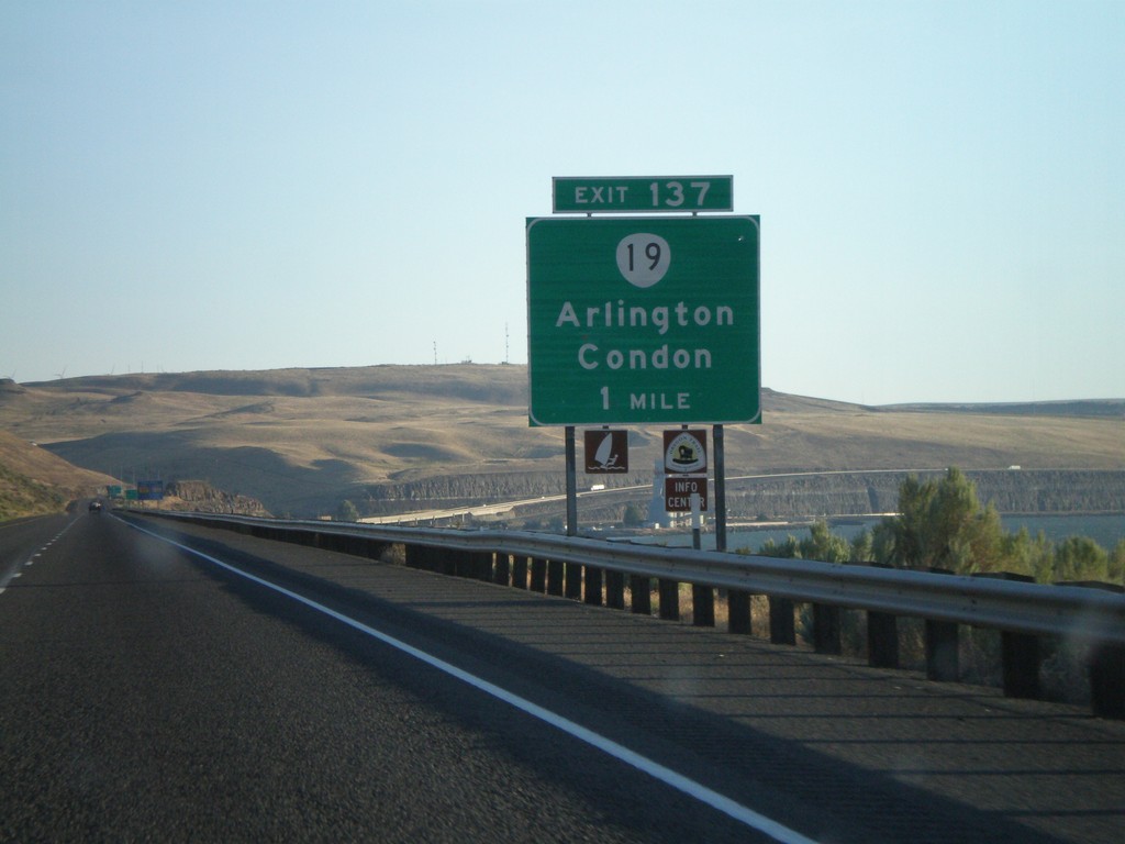
I-84 West - Exit 137
I-84 west approaching Exit 137 - OR-19/Arlington/Condon
Taken 07-23-2008
 Arlington
Gilliam County
Oregon
United States
Arlington
Gilliam County
Oregon
United States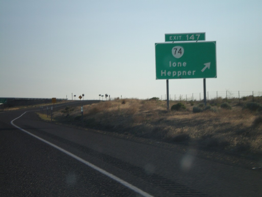
I-84 West - Exit 147
I-84 west at Exit 147 - OR-74/Ione/Heppner
Taken 07-23-2008
 Ione
Gilliam County
Oregon
United States
Ione
Gilliam County
Oregon
United States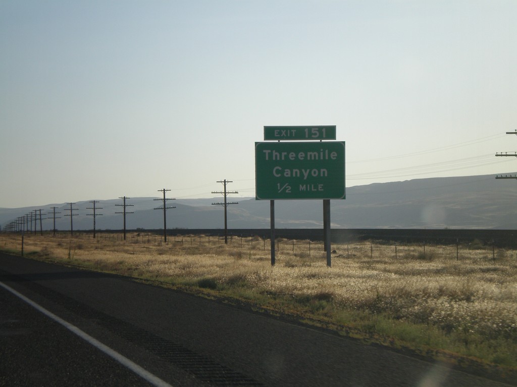
I-84 West - Exit 151
I-84 west approaching Exit 151 - Threemile Canyon
Taken 07-23-2008
Boardman
Morrow County
Oregon
United States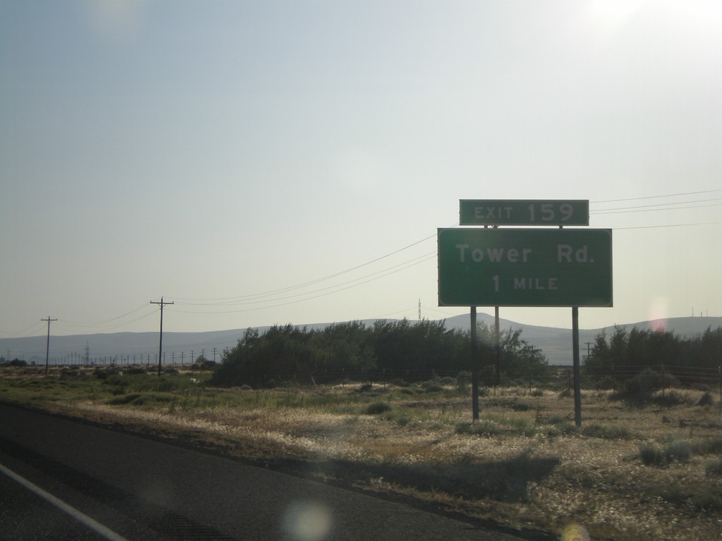
I-84 West - Exit 159
I-84 west approaching Exit 159 - Tower Road
Taken 07-23-2008
Boardman
Morrow County
Oregon
United States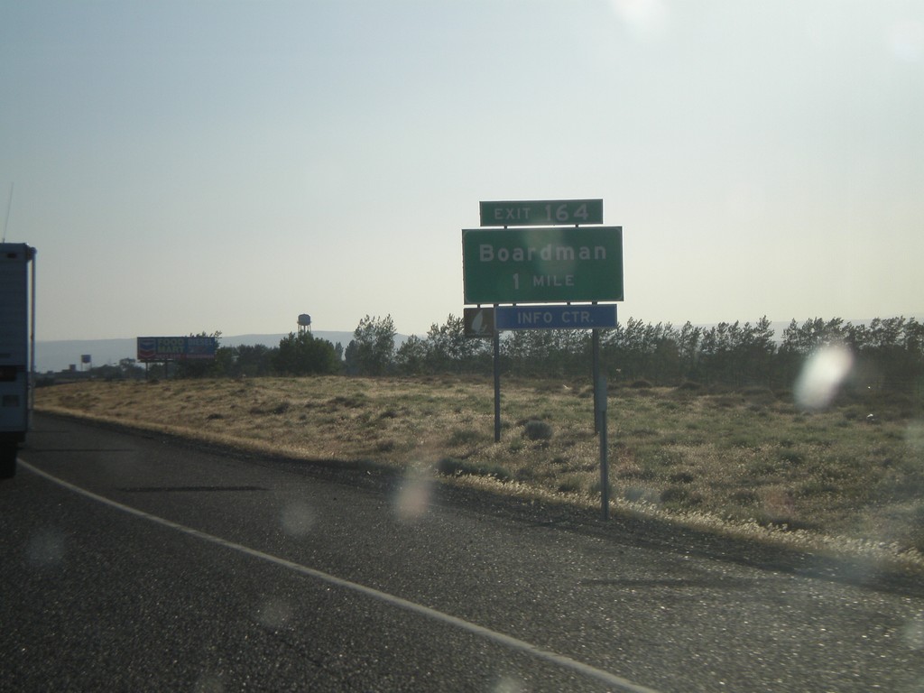
I-84 West - Exit 164
I-84 west approaching Exit 164 - Boardman
Taken 07-23-2008
Boardman
Morrow County
Oregon
United States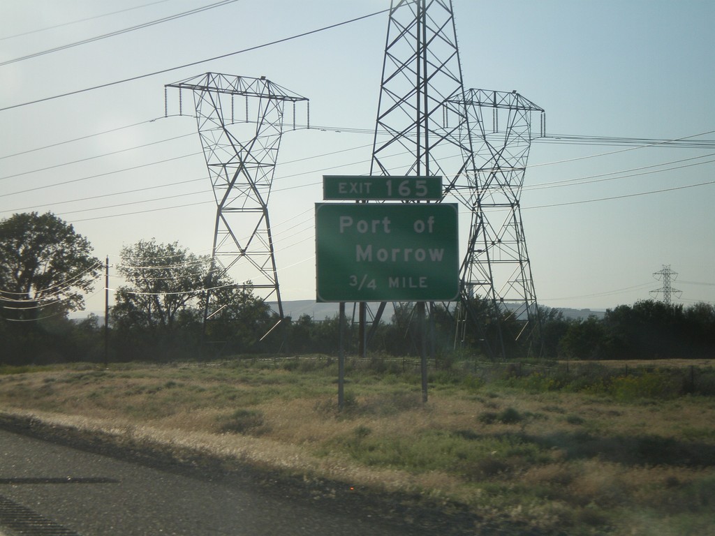
I-84 West - Exit 165
I-84 west approaching Exit 165 - Port of Morrow
Taken 07-23-2008
Boardman
Morrow County
Oregon
United States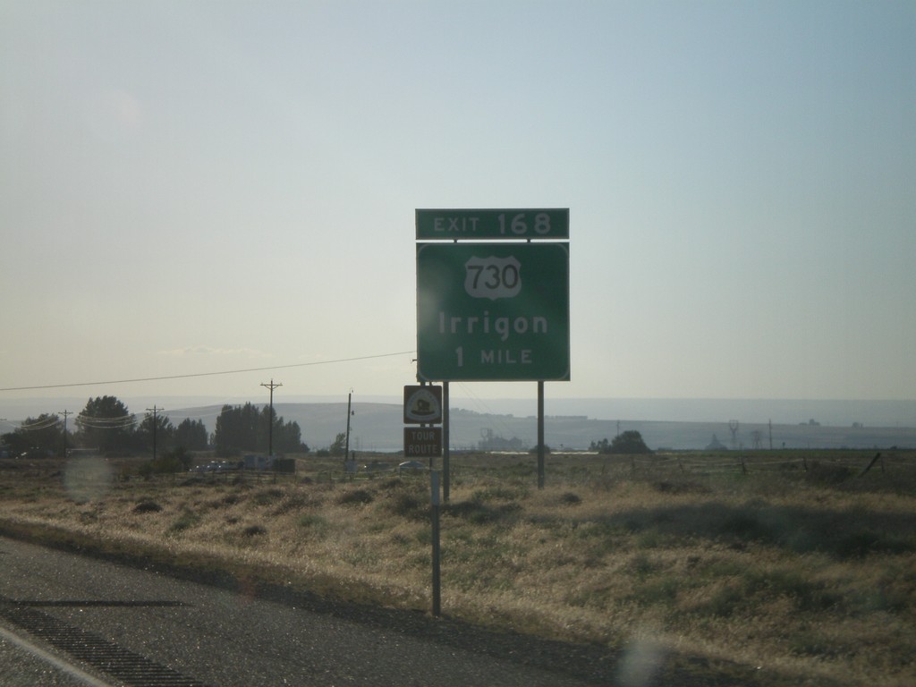
I-84 West - Exit 168
I-84 west approaching Exit 168 - US-730/Irrigon
Taken 07-23-2008
 Boardman
Morrow County
Oregon
United States
Boardman
Morrow County
Oregon
United States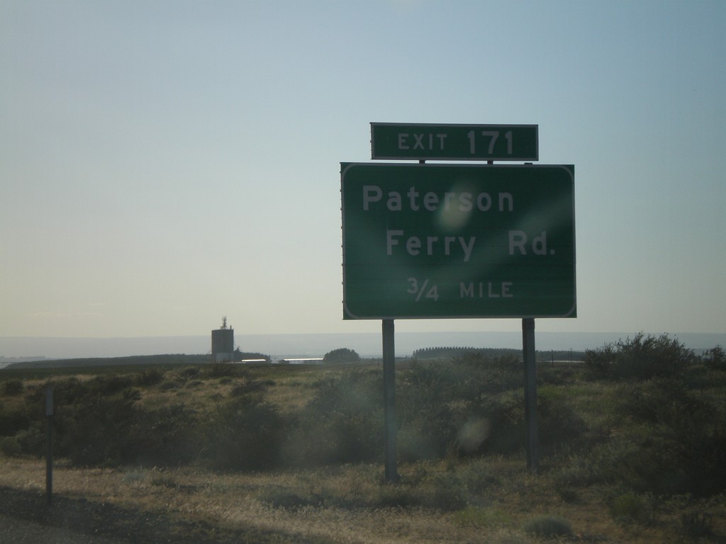
I-84 West - Exit 171
I-84 west approaching Exit 171 - Patterson Ferry Road
Taken 07-23-2008
Irrigon
Morrow County
Oregon
United States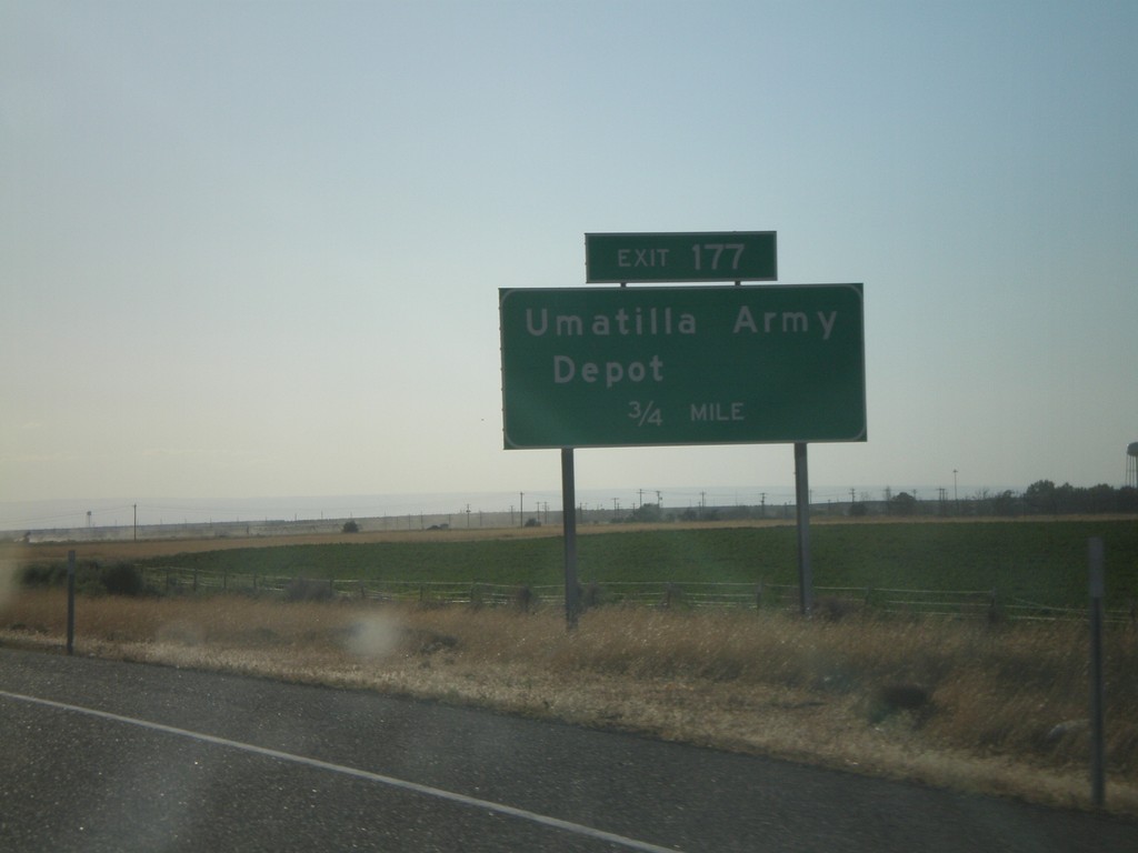
I-84 West - Exit 177
I-84 west approaching Exit 177 - Umatilla Army Depot
Taken 07-23-2008
Hermiston
Umatilla County
Oregon
United States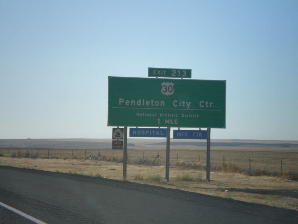
I-84 West - Exit 213
I-84 west approaching Exit 213 - US-30/Pendleton City Center/National Historic District
Taken 07-23-2008
Pendleton
Umatilla County
Oregon
United States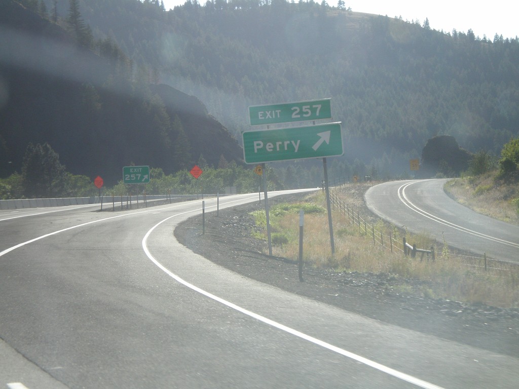
I-84 West - Exit 257
I-84 west at Exit 257 - Perry
Taken 07-23-2008
La Grande
Union County
Oregon
United States