Signs Tagged With Big Green Sign
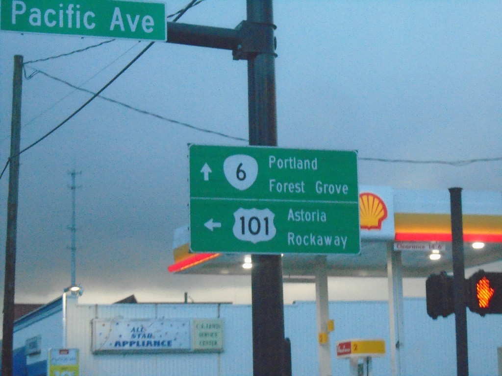
Begin OR-6 East at US-101 North
Begin OR-6 east at US-101 north to Rockaway and Astoria. Use OR-6 east for Portland and Forest Grove.
Taken 01-06-2024

 Tillamook
 County
Oregon
United States
Tillamook
Tillamook County
Oregon
United States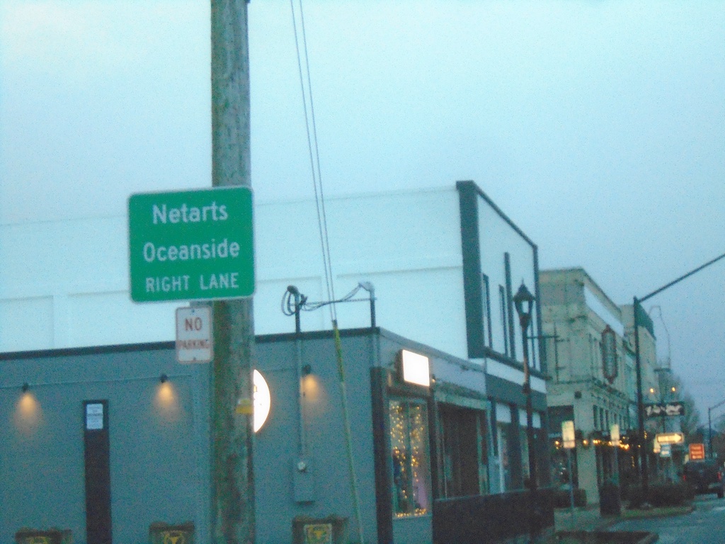
US-101 South Approaching OR-131
US-101 South approaching OR-131 to Netarts and Oceanside.
Taken 01-06-2024

 Tillamook
 County
Oregon
United States
Tillamook
Tillamook County
Oregon
United States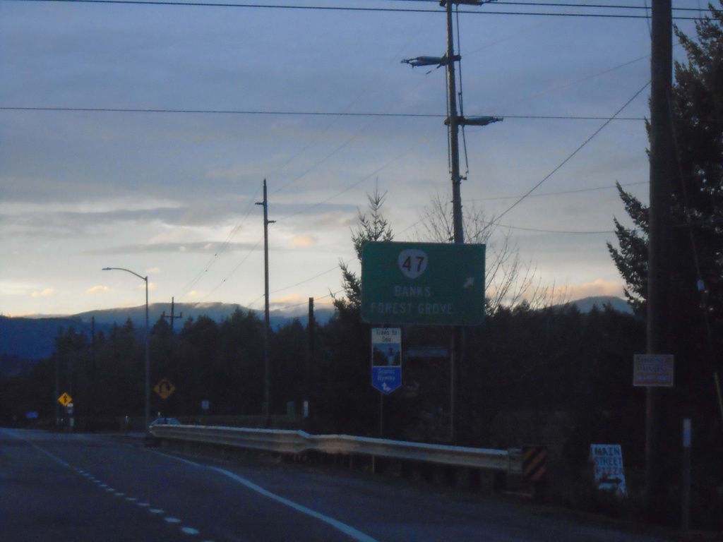
OR-6 West at OR-47
OR-6 West at OR-47 to Banks and Forest Grove.
Taken 01-02-2024

 Forest Grove
Washington County
Oregon
United States
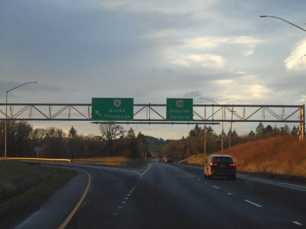
US-26 West at OR-6 Junction
US-26 West at OR-6/Tillamook/Banks. Continue west on US-26 for Astoria and Seaside. This is the western end of the US-26 divided highway in the Portland area.
Taken 01-02-2024

 Banks
Washington County
Oregon
United States
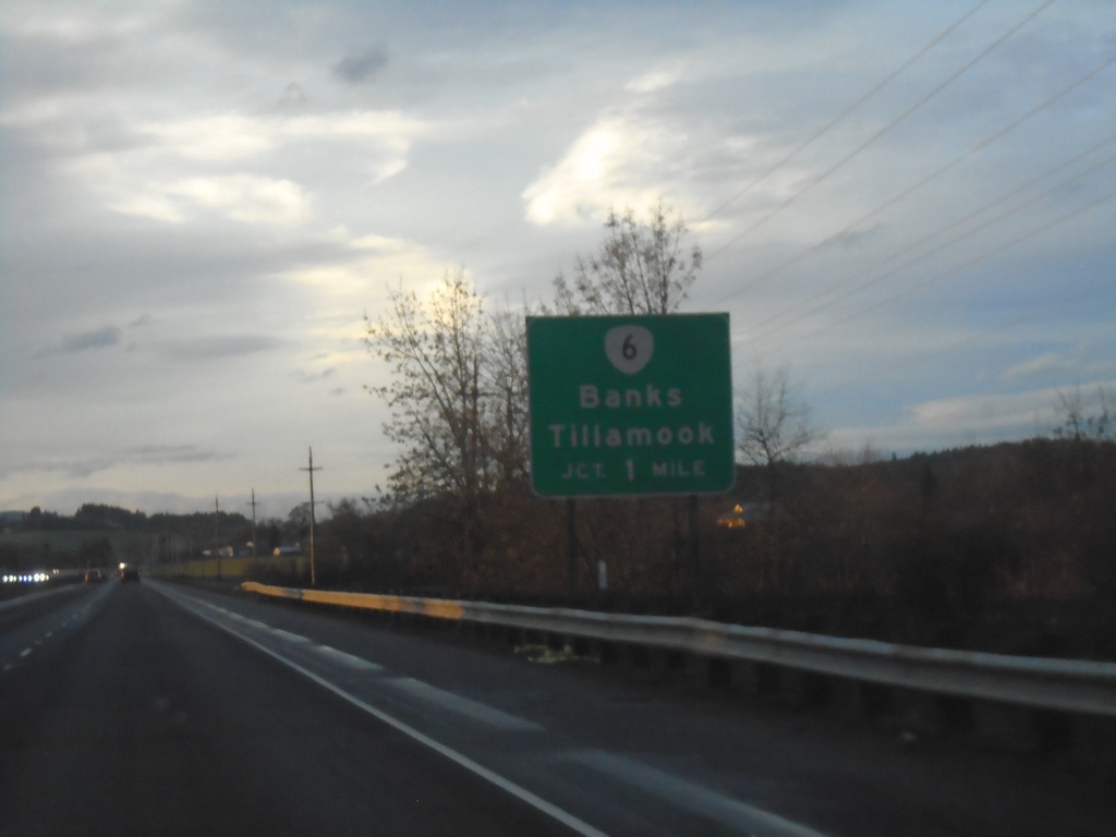
US-26 West Approaching OR-6
US-26 West approaching OR-6/Banks/Tillamook.
Taken 01-02-2024

 North Plains
Washington County
Oregon
United States
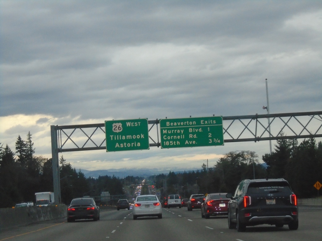
US-26 West - Beaverton Exits
Beaverton Exits on US-26 west. Murray Blvd., Cornell Road, and 185th Ave. Continue west on US-26 for Tillamook and Astoria.
Taken 01-02-2024
 Portland
Washington County
Oregon
United States
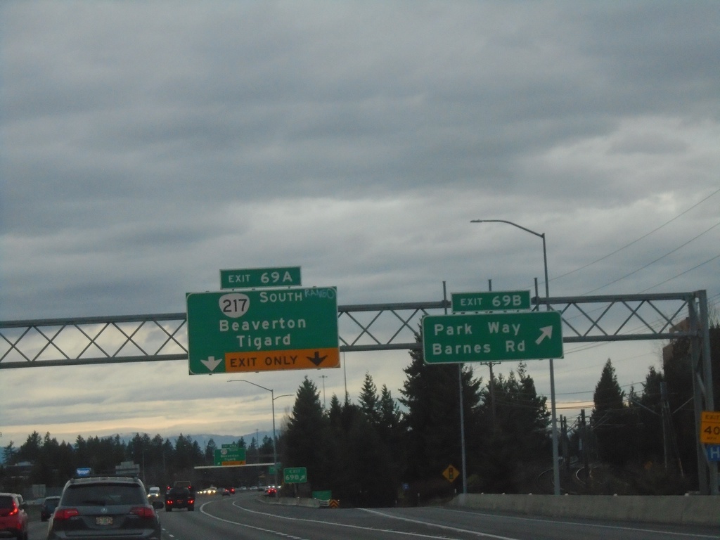
US-26 West - Exits 69B and 69A
US-26 west at Exit 69B - Park Way/Barnes Road. Approaching Exit 69A - OR-217 South/Beaverton/Tigard.
Taken 01-02-2024

 Portland
Washington County
Oregon
United States
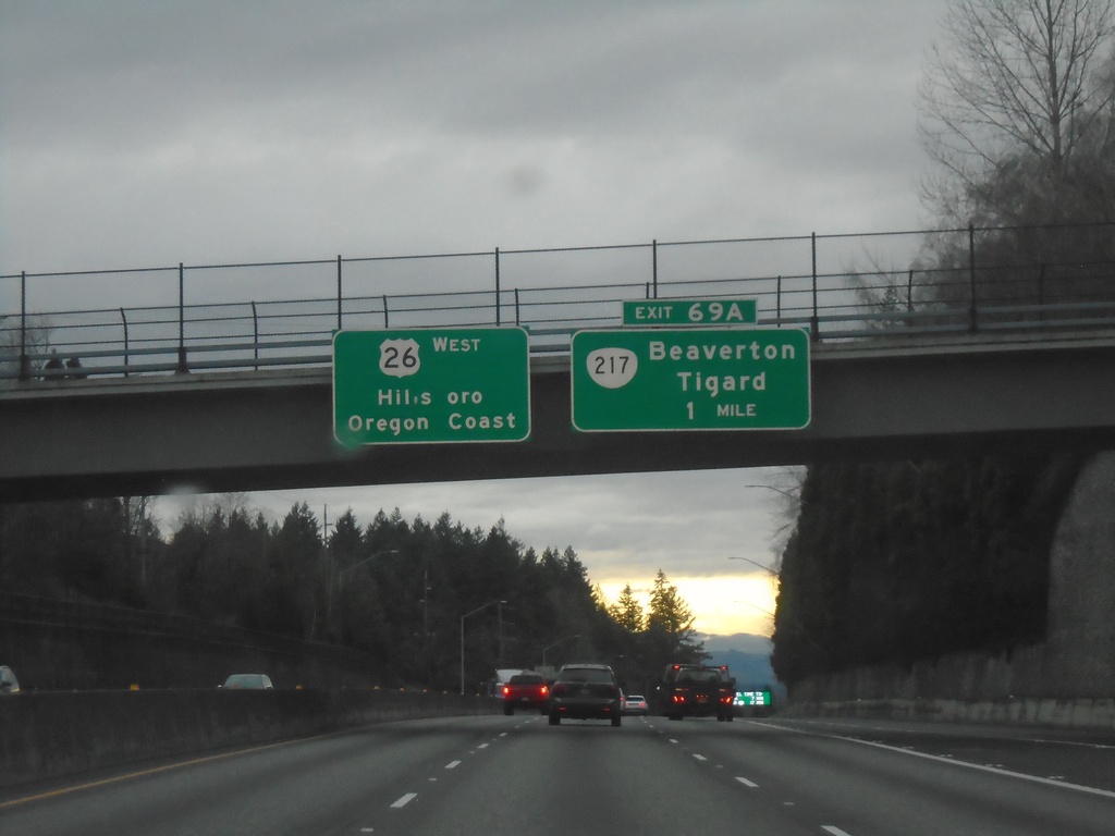
US-26 West - Exit 69A
US-26 west approaching Exit 69A - OR-217/Beaverton/Tigard. Continue west on US-26 for Hillsboro and Oregon Coast.
Taken 01-02-2024

 Portland
Washington County
Oregon
United States
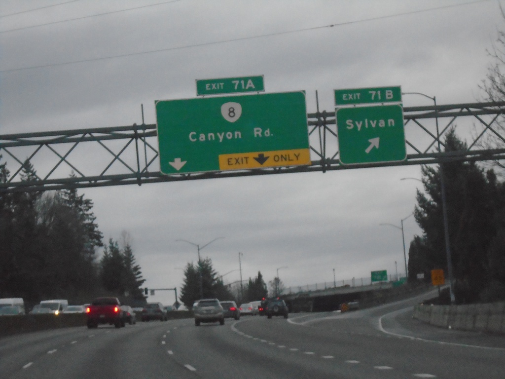
US-26 West - Exits 71B and 71A
US-26 west at Exit 71B - Sylvan. Approaching Exit 71A - OR-8/Canyon Road.
Taken 01-02-2024

 Portland
Multnomah County
Oregon
United States
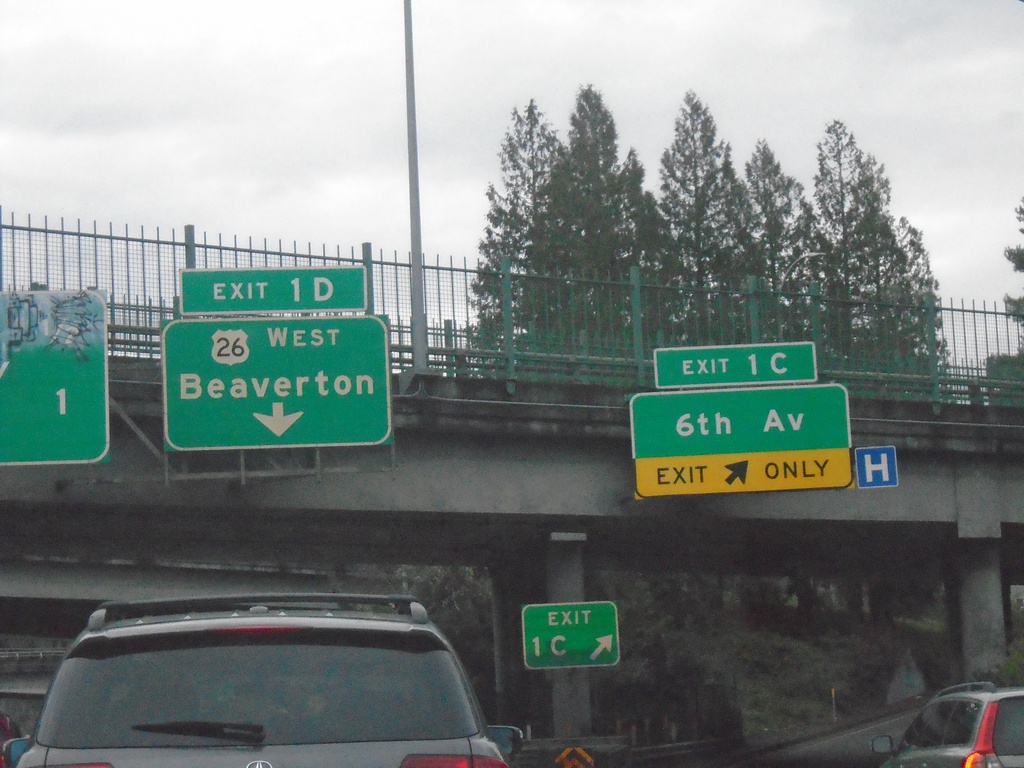
I-405 North - Exits 1C and 1D
I-405 north at Exit 1C - 6th Ave. Approaching Exit 1D - US-26 West/Beaverton.
Taken 01-02-2024

 Portland
Multnomah County
Oregon
United States
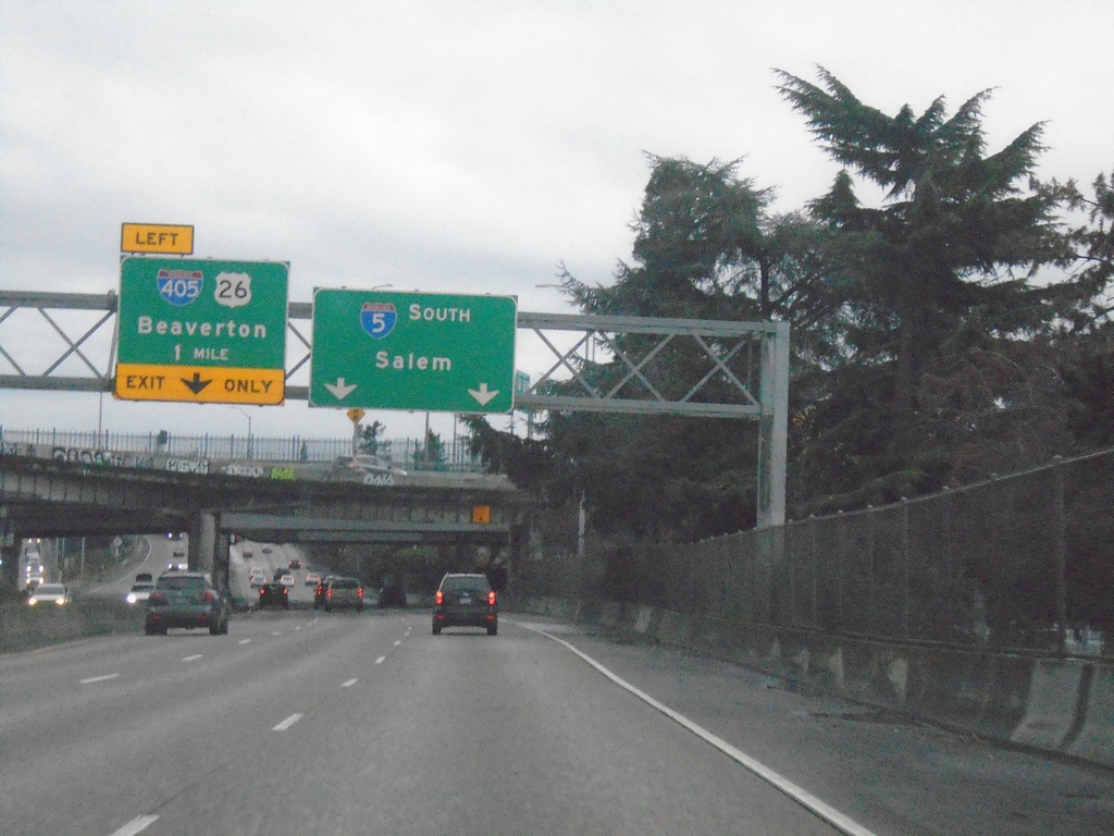
I-5 South Approaching I-405/US-26
I-5 South approaching I-405/US-26/Beaverton (left exit). Use right lanes for I-5 south to Salem.
Taken 01-02-2024


 Portland
Multnomah County
Oregon
United States
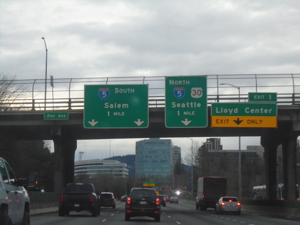
I-84 West - Exits 1 and I-5 Junction
I-84 West approaching Exit 1 - Lloyd Center and I-5 South/Salem and I-5 North/US-30 West/Seattle (WA).
Taken 01-02-2024


 Portland
Multnomah County
Oregon
United States
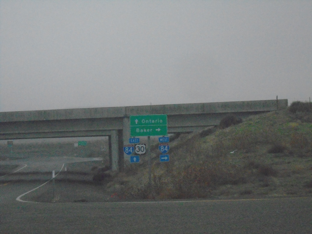
US-30 East at I-84 Exit 352
US-30 East at I-84. Use I-84 west to Baker; I-84/US-30 East to Ontario.
Taken 01-02-2024

 Huntington
Baker County
Oregon
United States
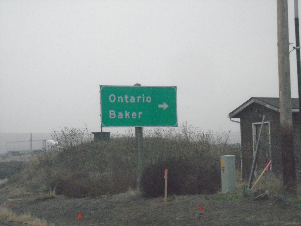
US-30 East Approaching I-84 (Exit 353)
US-30 East approaching I-84 (Exit 353) in Malheur County. Turn right for I-84 access to Ontario and Baker.
Taken 01-02-2024

 Huntington
Malheur County
Oregon
United States
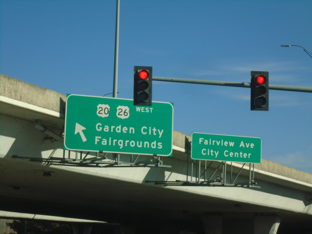
Fairview Ave. East Approaching US-20/US-26 West
Fairview Ave. East approaching US-20/US-26 West in Boise. Turn left for US-20/US-26 West/Garden City/Fairgrounds. Continue straight for Fairview Ave./(Boise) City Center.
Taken 01-01-2024

 Boise
Ada County
Idaho
United States
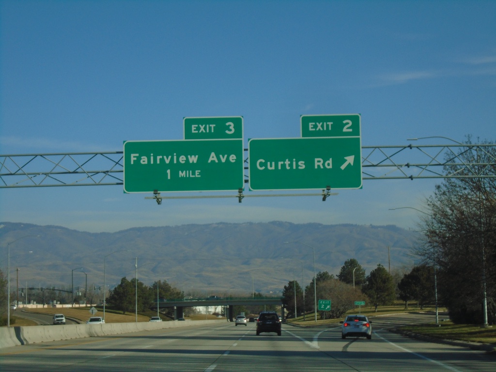
I-184 East - Exit 2. Approaching Exit 3
I-184 east at Exit 2 - Curtis Road. Approaching Exit 3 - Fairview Ave.
Taken 01-01-2024
 Boise
Ada County
Idaho
United States
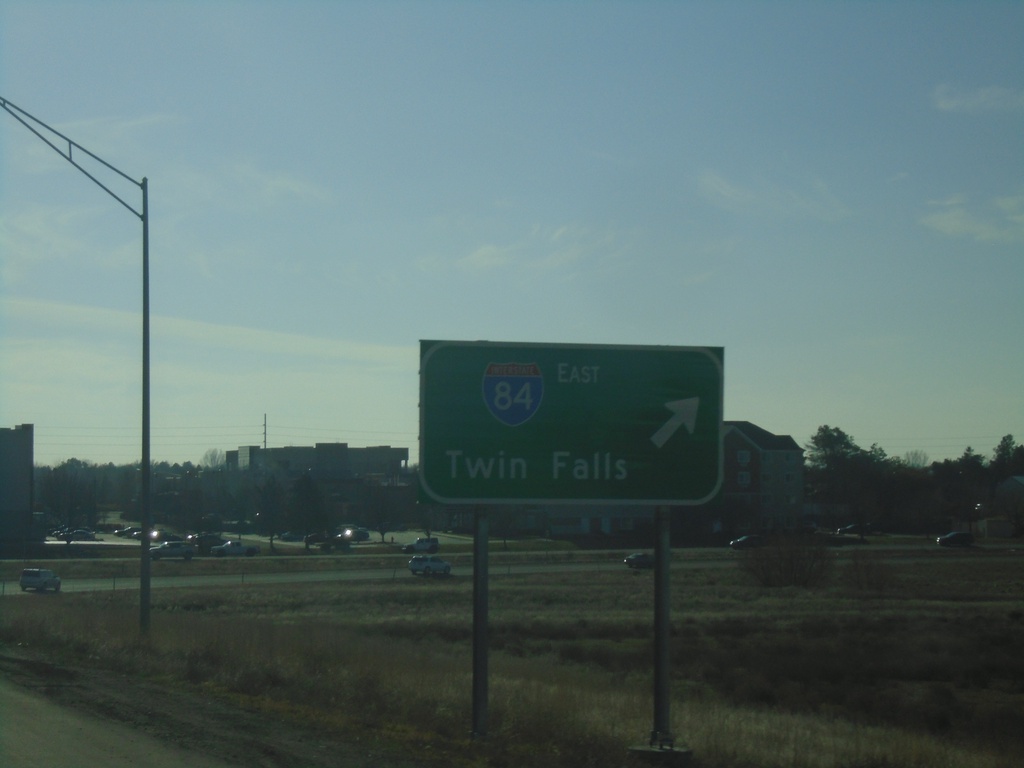
ID-55 South at I-84/US-30 East
ID-55 South at I-84/US-30 East to Twin Falls.
Taken 01-01-2024


 Meridian
Ada County
Idaho
United States
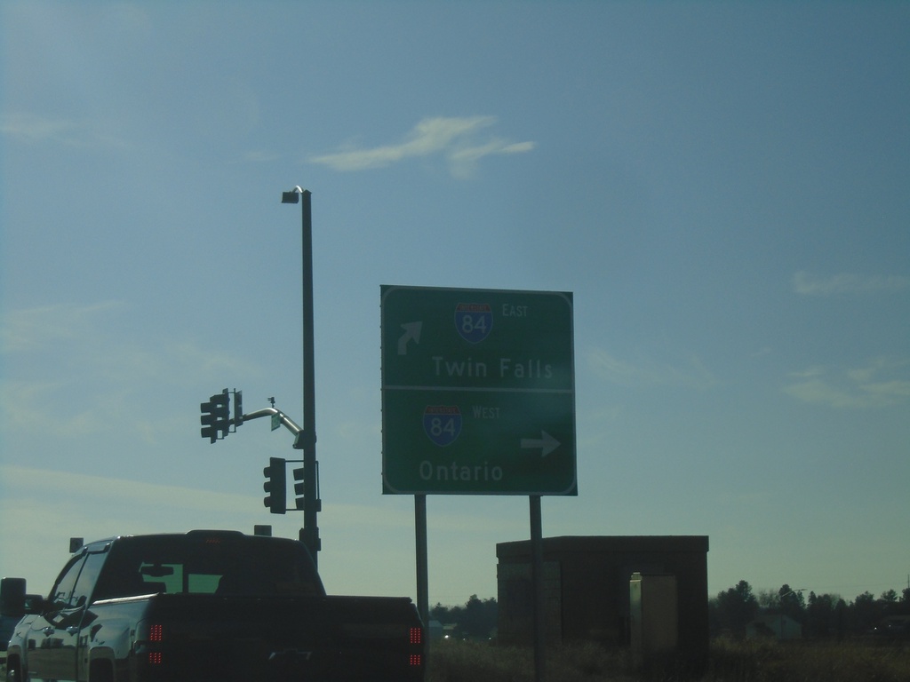
ID-55 South at I-84 West - Meridian
ID-55 South at I-84 West in Meridian. Turn right for I-84 West/US-30 West/ID-55 South to Ontario (Oregon). Continue over freeway for I-84 East to Twin Falls.
Taken 01-01-2024


 Meridian
Ada County
Idaho
United States
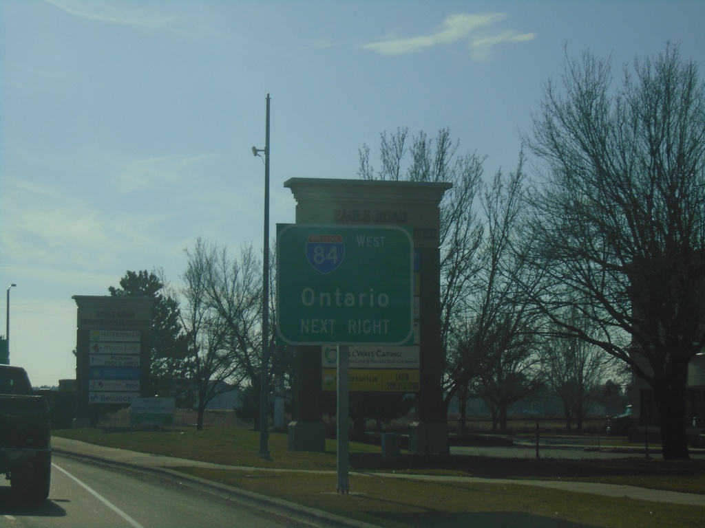
ID-55 South Approaching I-84 West
ID-55 South (Eagle Road) approaching I-84 West in Meridian. Use I-84 west for Ontario (Oregon). ID-55 south joins I-84 westbound to Nampa.
Taken 01-01-2024

 Meridian
Ada County
Idaho
United States
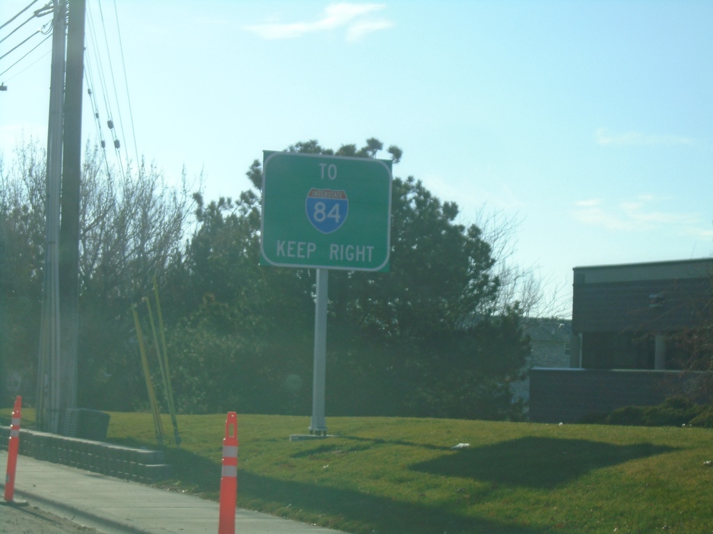
ID-55 South - Use Right Lanes for I-84
ID-55 south (Eagle Road) approaching I-84. Use right lanes for I-84 traffic.
Taken 01-01-2024

 Meridian
Ada County
Idaho
United States
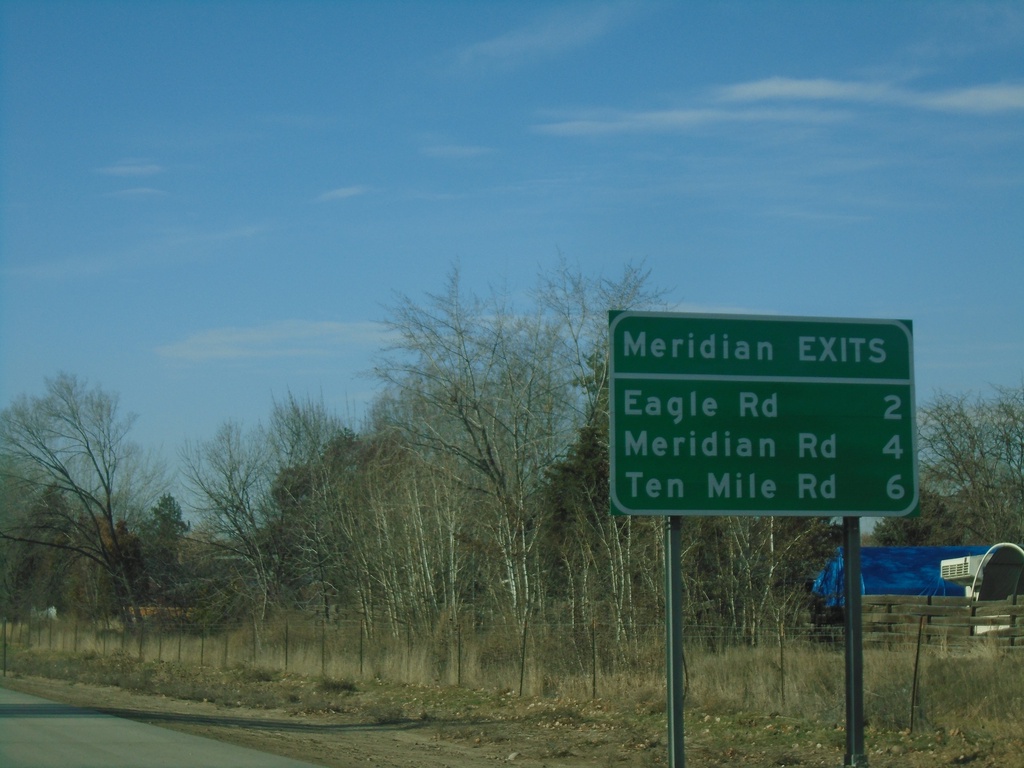
I-84 West - Meridian Exits
Meridian Exits on I-84 west: Eagle Road (ID-55), Meridian Road (ID-69), and Ten Mile Road.
Taken 01-01-2024

 Boise
Ada County
Idaho
United States
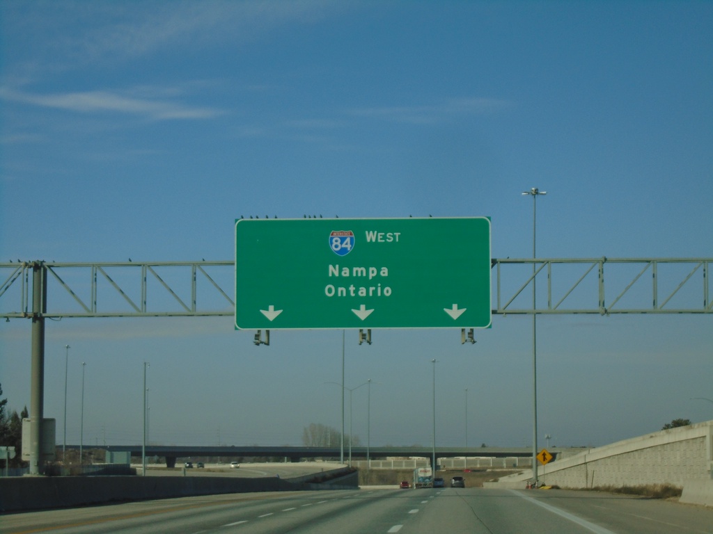
I-84 West - Nampa/Ontario
Overhead for I-84 West - Nampa/Ontario (Oregon) on I-84 just west of the I-84/I-184 junction.
Taken 01-01-2024

 Boise
Ada County
Idaho
United States
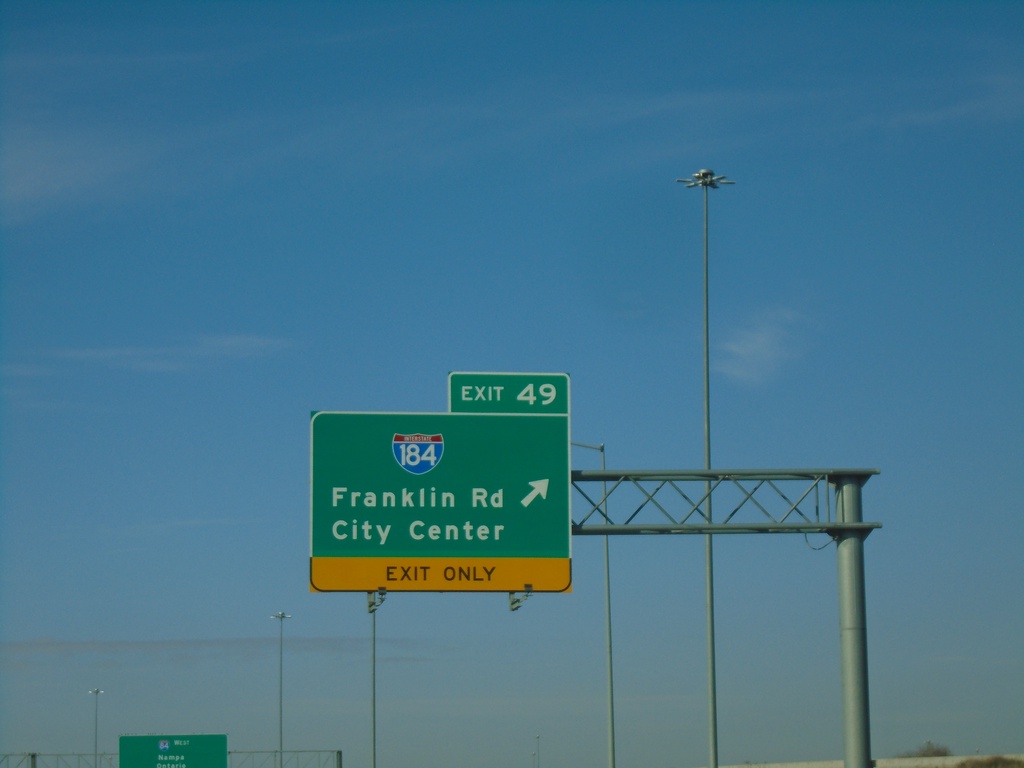
I-84 West - Exit 49
I-84 west at Exit 49 - I-184/Franklin Road/City Center.
Taken 01-01-2024


 Boise
Ada County
Idaho
United States
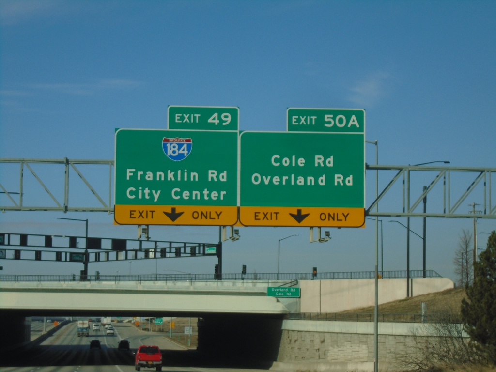
I-84 West - Exit 50A and Exit 49
I-84 west at Exit 50A - Cole Road/Overland Road. Approaching Exit 49 - I-184/Franklin Road/City Center.
Taken 01-01-2024


 Boise
Ada County
Idaho
United States
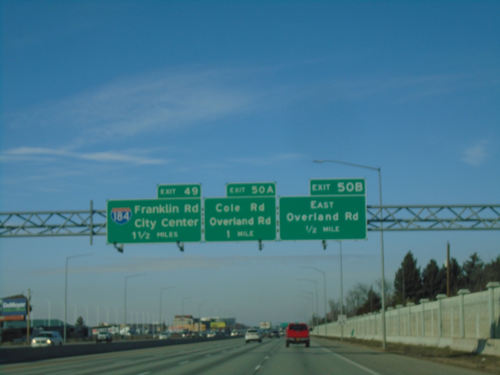
I-84 West - Exits 50B-A, and 49
I-84 West approaching Exit 50B - East Overland Road, Exit 50B - Overland Road/Cole Road and Exit 49 - I-184/Franklin Road/City Center.
Taken 01-01-2024


 Boise
Ada County
Idaho
United States