Signs Tagged With Big Green Sign
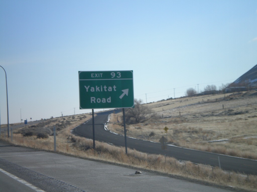
I-82 East - Exit 93
I-82 east at Exit 93 - Yakitat Road.
Taken 01-22-2008

 Benton City
Benton County
Washington
United States
Benton City
Benton County
Washington
United States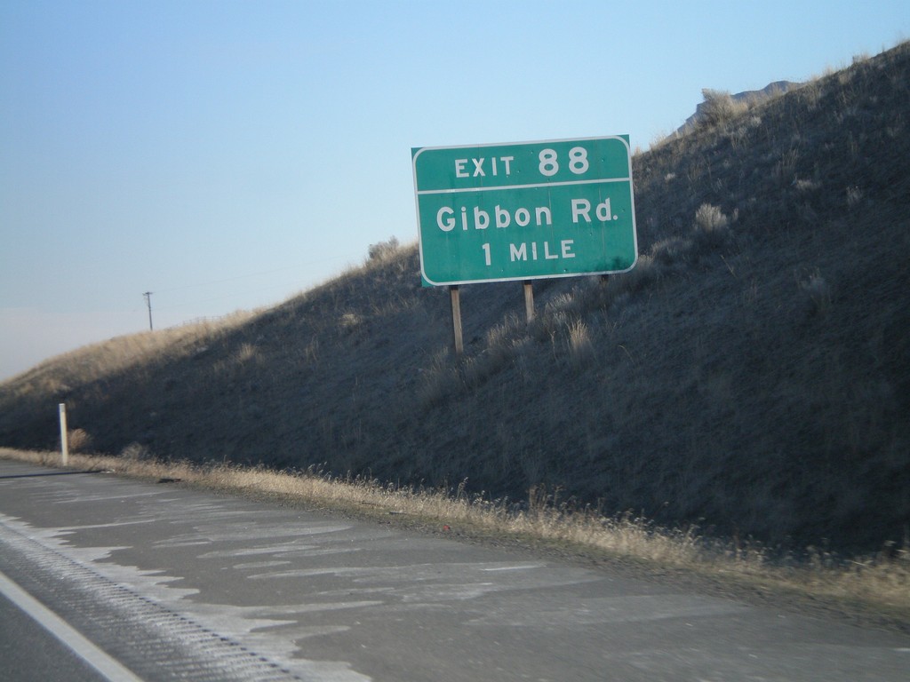
I-82 East - Exit 88
I-82 east approaching Exit 88 - Gibbon Road.
Taken 01-22-2008
Benton City
Benton County
Washington
United States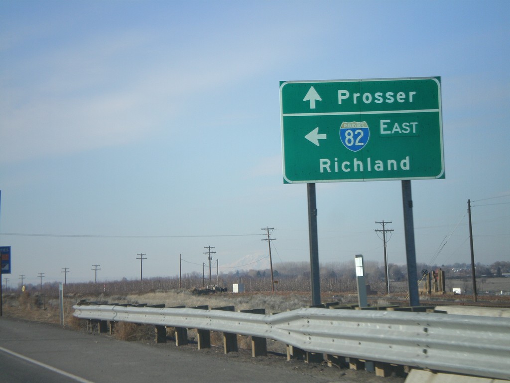
Begin of WA-22 East at I-82
WA-22 west at I-82 east to Richland.
Taken 01-22-2008
 Prosser
Benton County
Washington
United States
Prosser
Benton County
Washington
United States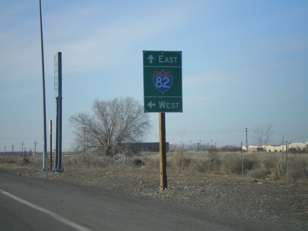
Begin of WA-22 West Approaching I-82
WA-22 west at I-82 onramp.
Taken 01-22-2008
Prosser
Benton County
Washington
United States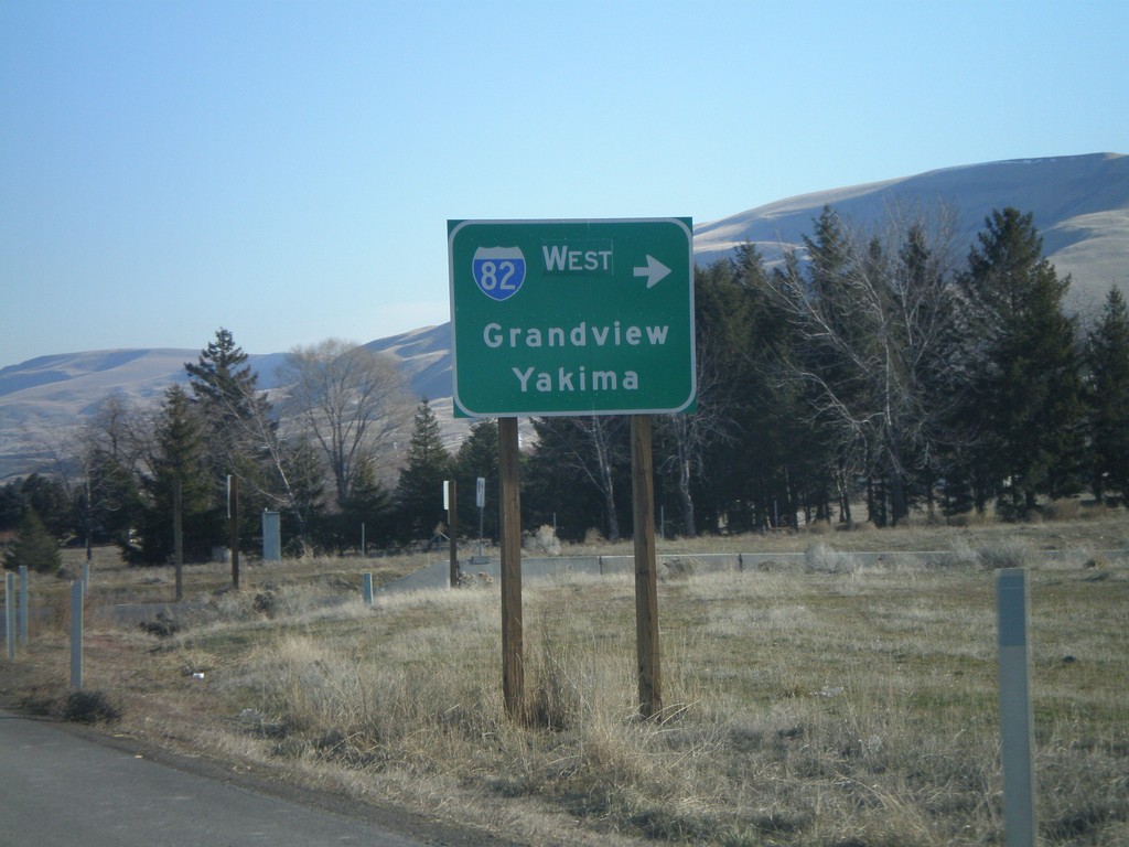
End WA-22 East at I-82 West
End WA-22 east at I-82. I-82 West onramp to Grandview and Yakima.
Taken 01-22-2008
Prosser
Benton County
Washington
United States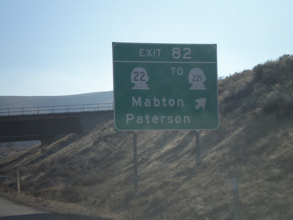
I-82 East - Exit 82
I-82 east at Exit 82 - WA-22/To WA-221/Mabton/Patterson.
Taken 01-22-2008
 Prosser
Benton County
Washington
United States
Prosser
Benton County
Washington
United States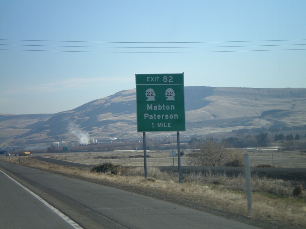
I-82 East - Exit 82
I-82 east approaching Exit 82 - WA-22/WA-221/Mabton/Patterson.
Taken 01-22-2008
Prosser
Benton County
Washington
United States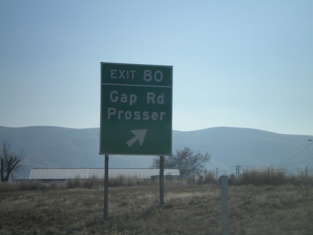
I-82 East - Exit 80
I-82 east at Exit 80 - Gap Road/Prosser.
Taken 01-22-2008
Prosser
Benton County
Washington
United States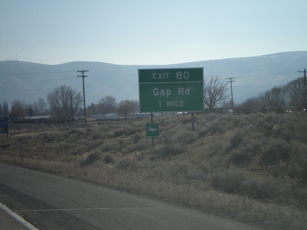
I-82 East - Exit 80
I-82 east approaching Exit 80 - Gap Road.
Taken 01-22-2008
Prosser
Benton County
Washington
United States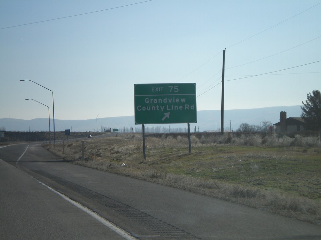
I-82 East - Exit 75
I-82 east at Exit 75 - Grandview/County Line Road.
Taken 01-22-2008
Grandview
Yakima County
Washington
United States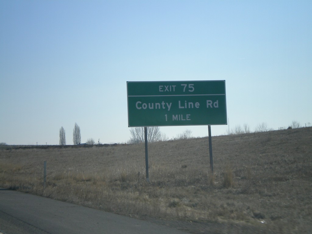
I-82 East - Exit 75
I-82 east approaching Exit 75 - County Line Road.
Taken 01-22-2008
Grandview
Yakima County
Washington
United States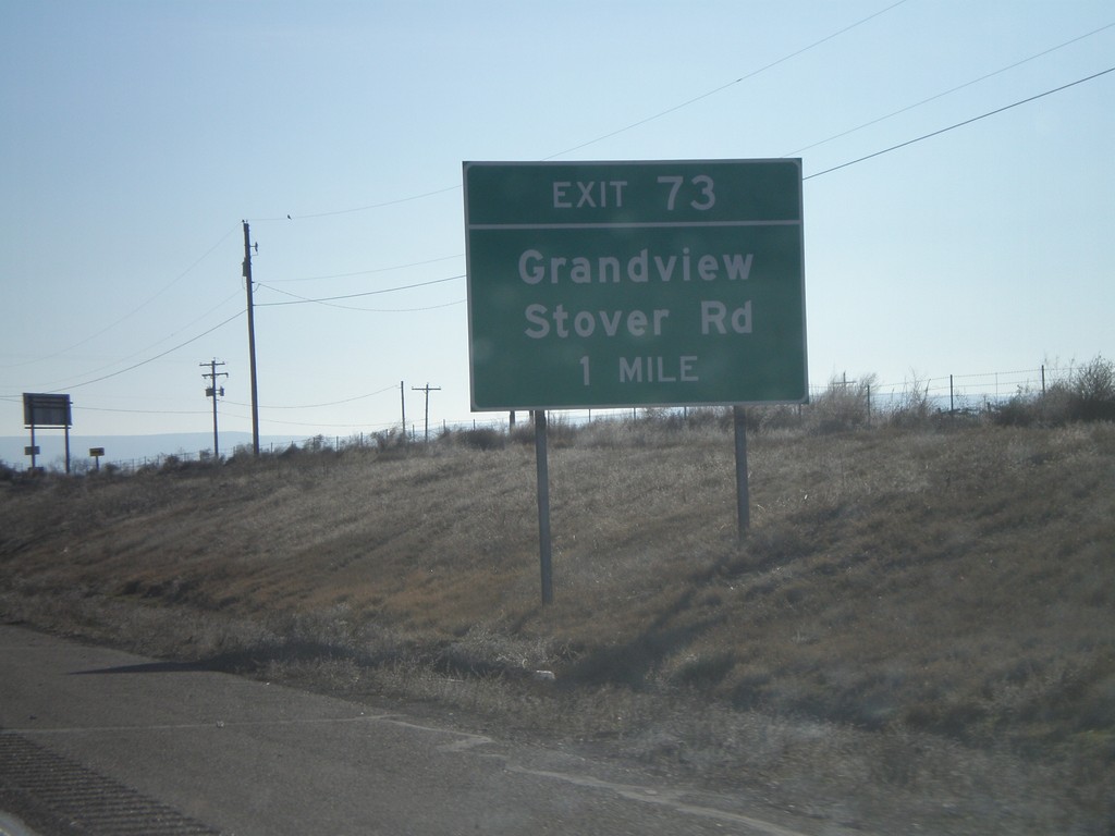
I-82 East - Exit 73
I-82 east approaching Exit 73 - Grandview/Stover Road.
Taken 01-22-2008
Grandview
Yakima County
Washington
United States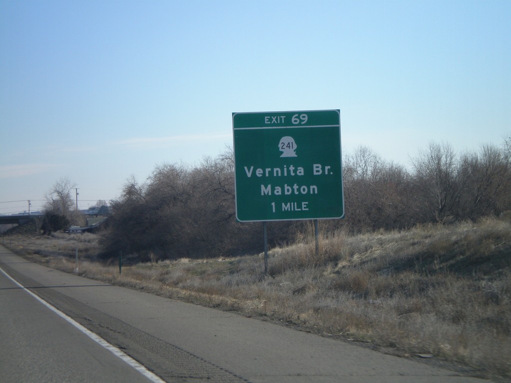
I-82 East Exit 69
I-82 east approaching Exit 69 - WA-241/Vernita Bridge/Mabton.
Taken 01-22-2008
 Sunnyside
Yakima County
Washington
United States
Sunnyside
Yakima County
Washington
United States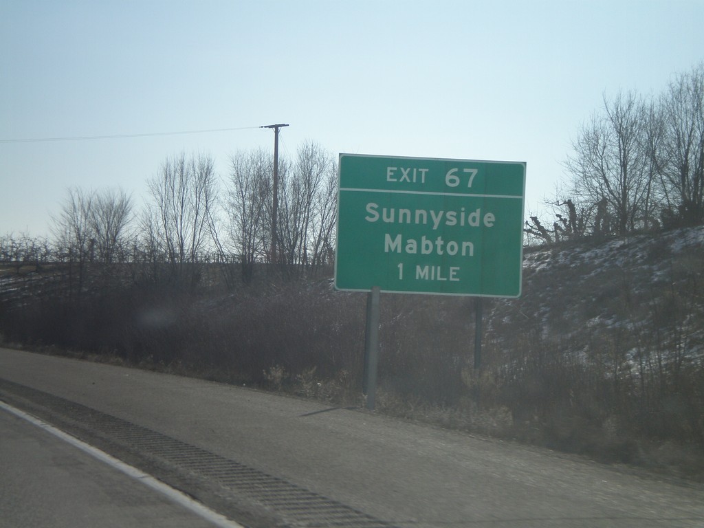
I-82 East - Exit 67
I-82 east approaching Exit 67 - Sunnyside/Mabton.
Taken 01-22-2008
Sunnyside
Yakima County
Washington
United States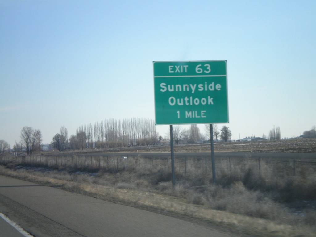
I-82 East - Exit 63
I-82 east approaching Exit 63 - Sunnyside/Outlook.
Taken 01-22-2008
Outlook
Yakima County
Washington
United States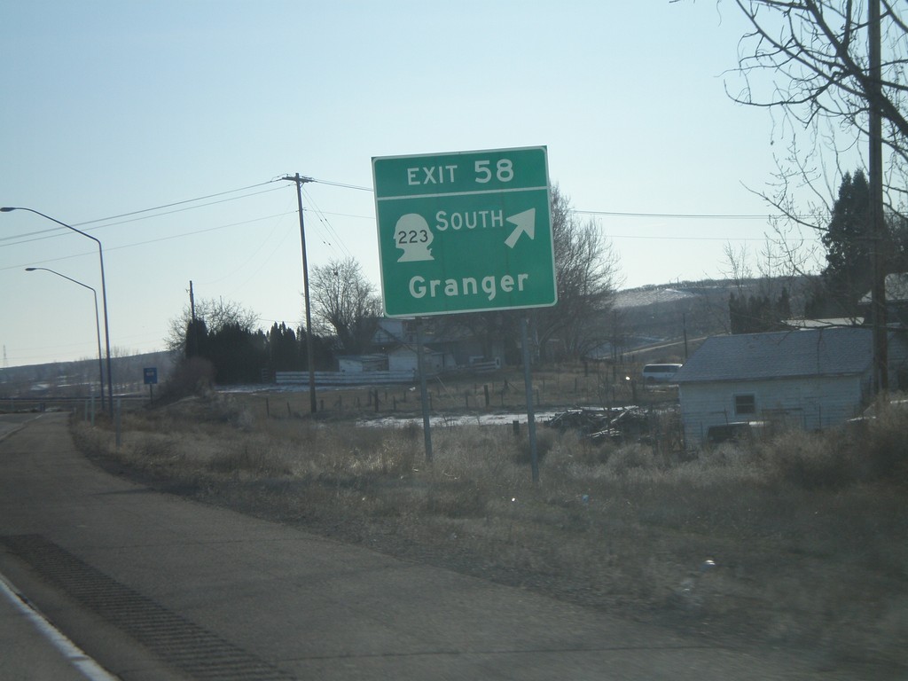
I-82 East - Exit 58
I-82 east at Exit 58 - WA-223 South/Granger.
Taken 01-22-2008
 Granger
Yakima County
Washington
United States
Granger
Yakima County
Washington
United States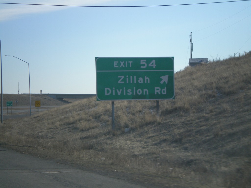
I-82 East - Exit 54
I-82 east at Exit 54 - Zillah/Division Road.
Taken 01-22-2008
Zillah
Yakima County
Washington
United States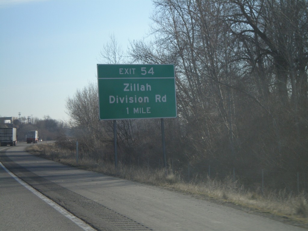
I-82 East - Exit 54
I-82 east approaching Exit 54 - Zillah/Division Road.
Taken 01-22-2008
Zillah
Yakima County
Washington
United States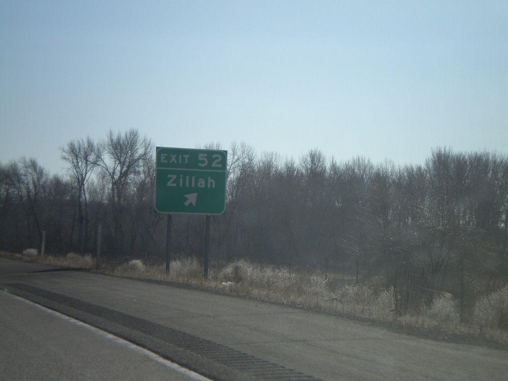
I-82 East - Exit 52
I-82 east at Exit 52 - Zillah.
Taken 01-22-2008
Zillah
Yakima County
Washington
United States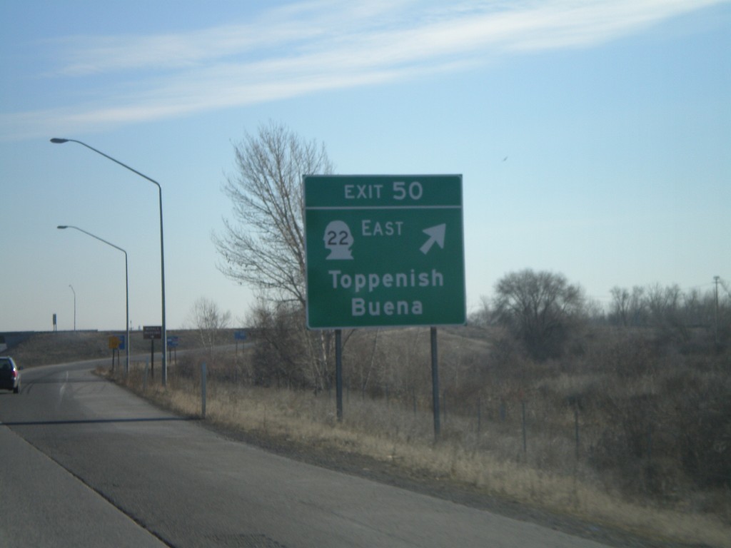
I-82 East - Exit 50
I-82 east at Exit 50 - WA-22 East/Toppenish/Buena.
Taken 01-22-2008
Zillah
Yakima County
Washington
United States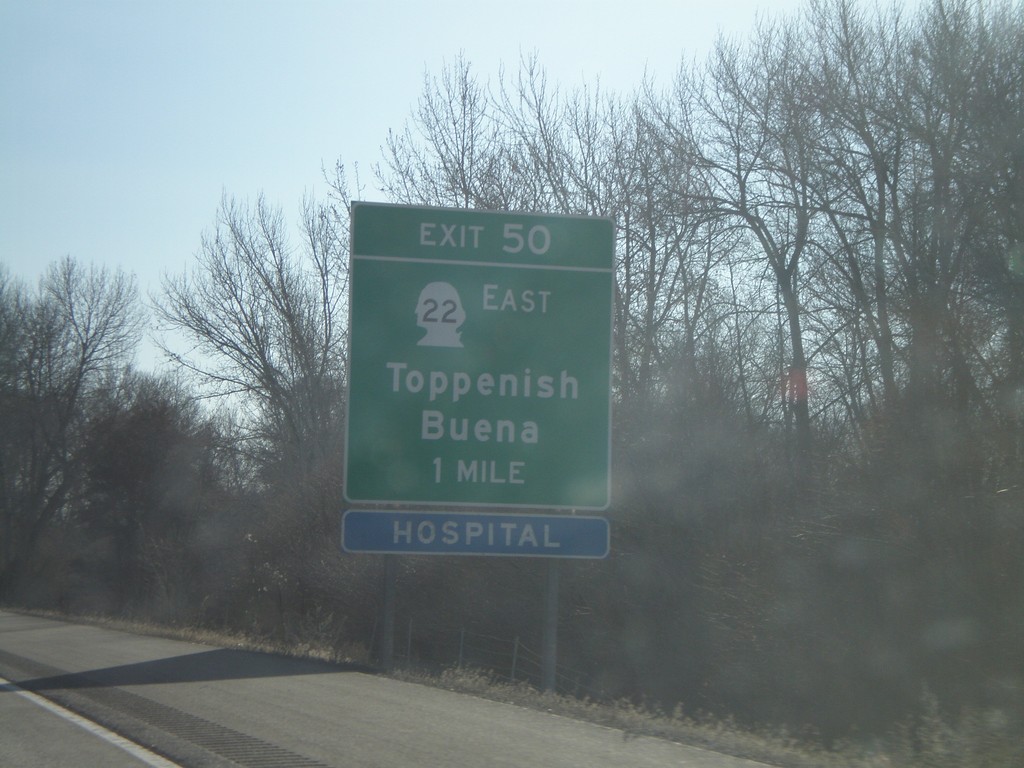
I-82 East - Exit 50
I-82 east approaching Exit 50 - WA-22 East/Buena/Toppenish.
Taken 01-22-2008
Zillah
Yakima County
Washington
United States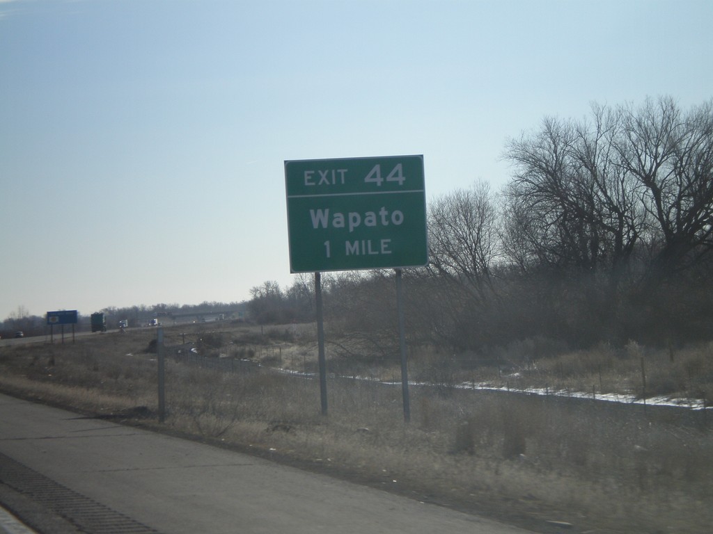
I-82 East - Exit 44
I-82 east approaching Exit 44 - Wapato.
Taken 01-22-2008
Wapato
Yakima County
Washington
United States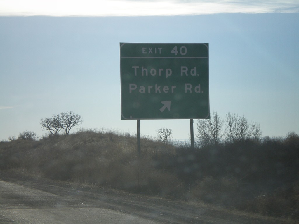
I-82 East - Exit 40
I-82 east at Exit 40 - Thorp Road/Parker Road.
Taken 01-22-2008
Wapato
Yakima County
Washington
United States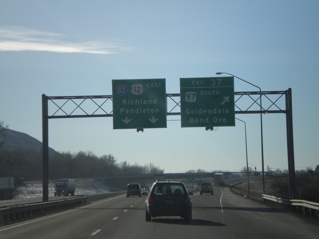
I-82 East - Exit 37
I-82 east at Exit 37 - US-97 South/Goldendale/Bend, Ore. US-97 joins I-82 west to I-90 near Ellensburg. I-82/US-12 overhead to Richland and Pendleton.
Taken 01-22-2008
 Yakima
 County
Washington
United States
Yakima
Yakima County
Washington
United States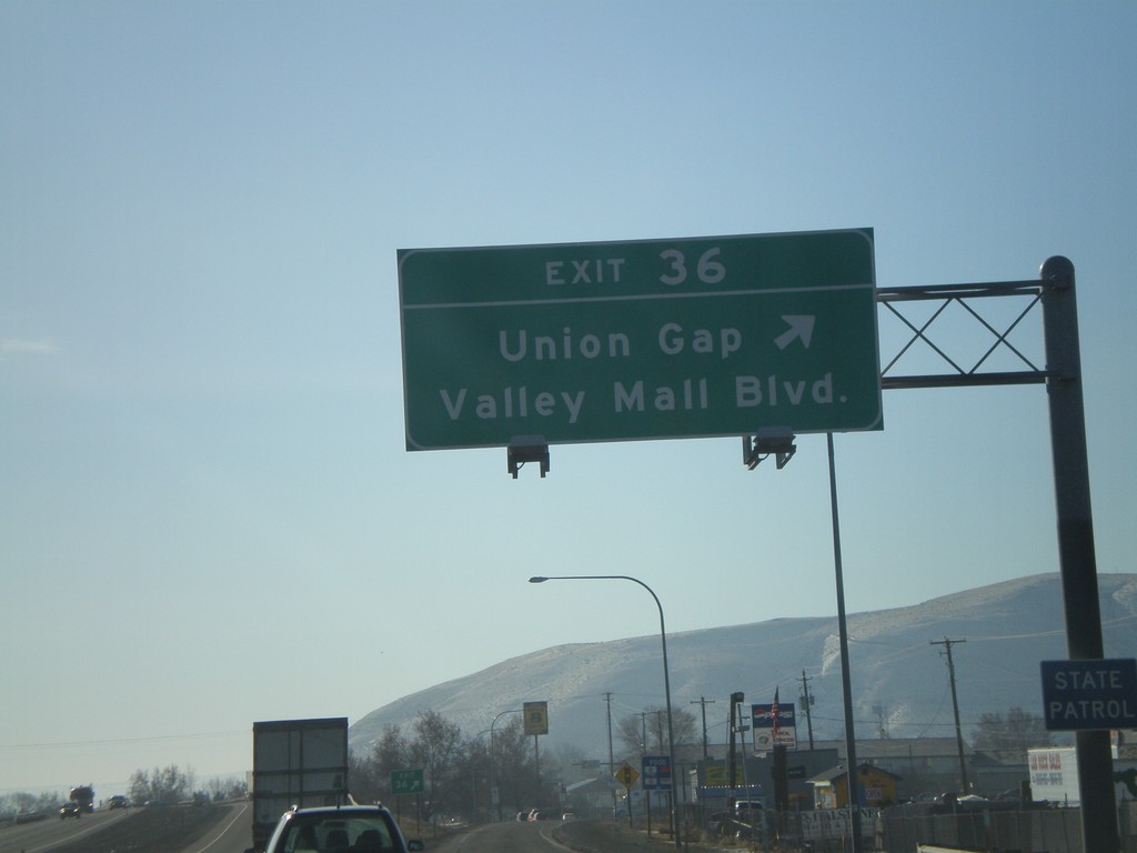
I-82 East - Exit 36
I-82 east at Exit 36 - Union Gap/Valley Mall Blvd.
Taken 01-22-2008
Union Gap
Yakima County
Washington
United States