Signs Tagged With Big Green Sign
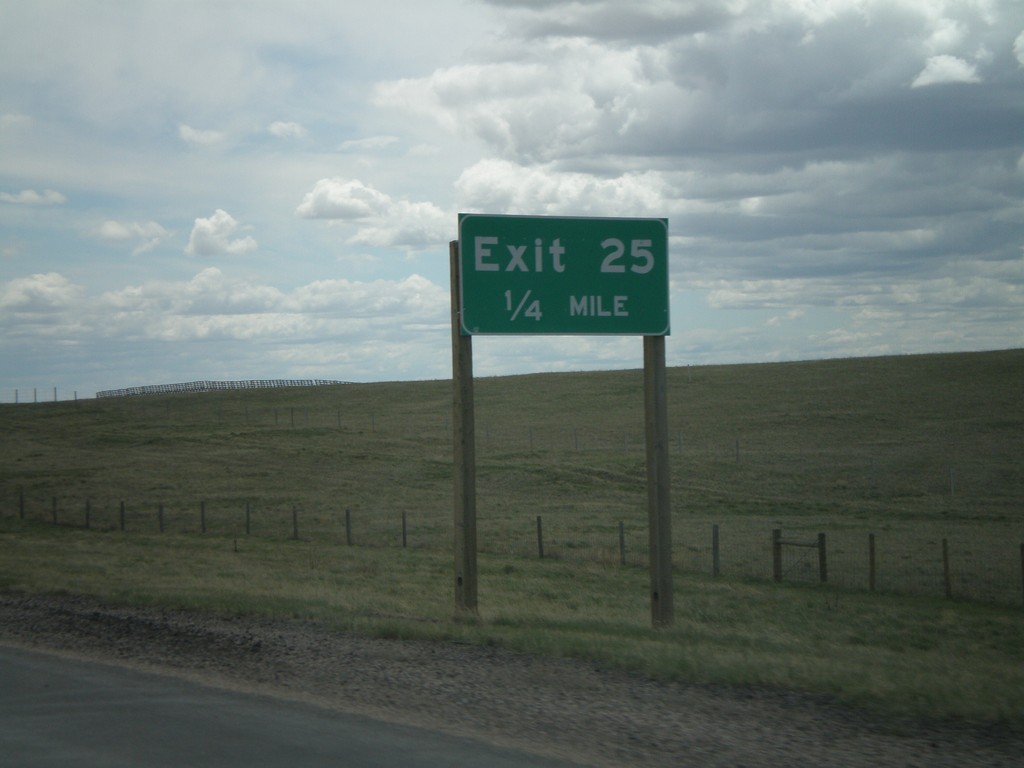
I-25 South - Exit 25
I-25 south approaching Exit 25. No other name was given for this exit, in either direction.
Taken 05-16-2008

 Cheyenne
Laramie County
Wyoming
United States
Cheyenne
Laramie County
Wyoming
United States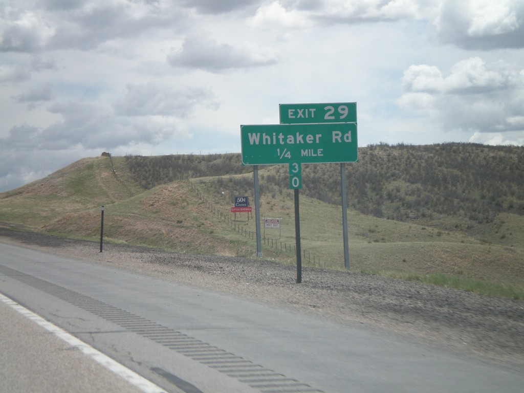
I-25 South - Exit 29
I-25 south approaching Exit 29 - Whitaker Road.
Taken 05-16-2008
Iron Mountain
Laramie County
Wyoming
United States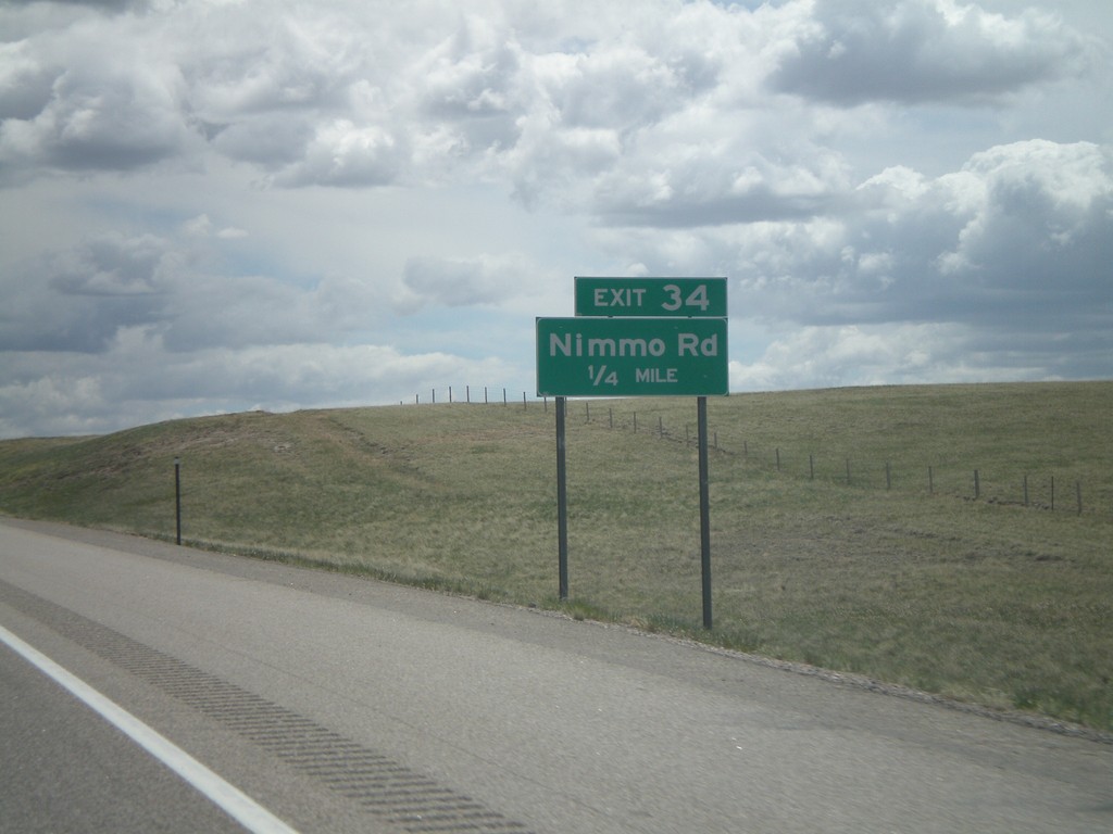
I-25 South - Exit 34
I-25 south approaching Exit 34 - Nimmo Road.
Taken 05-16-2008
Cheyenne
Laramie County
Wyoming
United States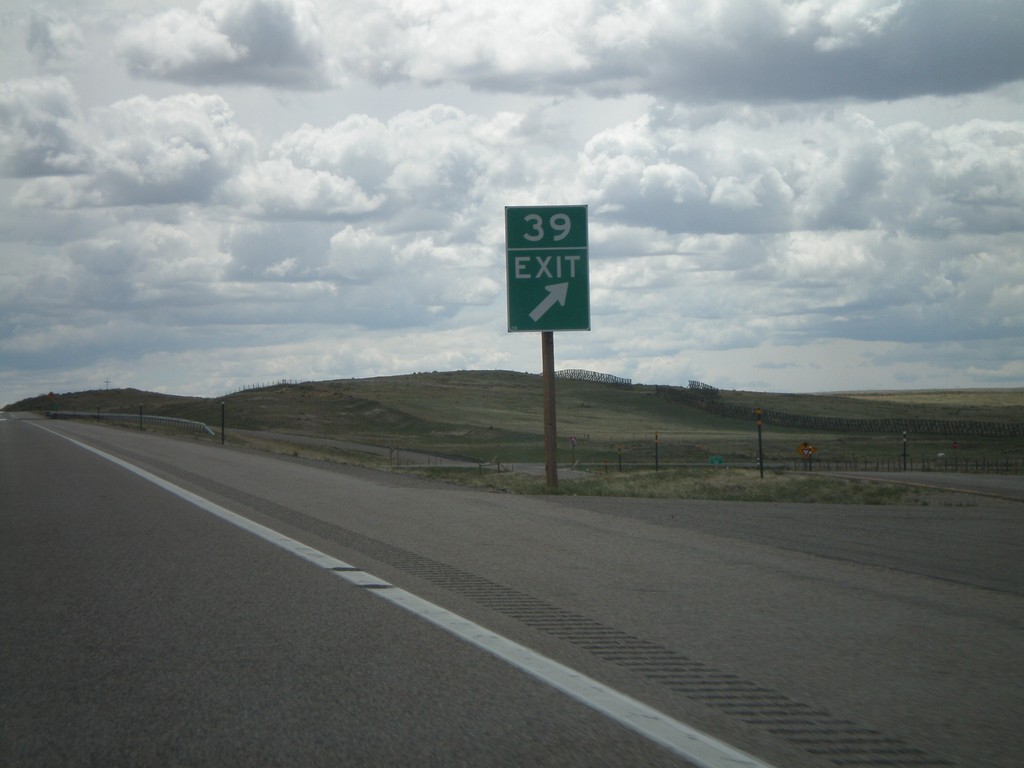
I-25 South - Exit 39
I-25 south at Exit 39 - Little Bear Community. The advance sign for Exit 39 was knocked down, so I got a picture of the gore sign.
Taken 05-16-2008
Cheyenne
Laramie County
Wyoming
United States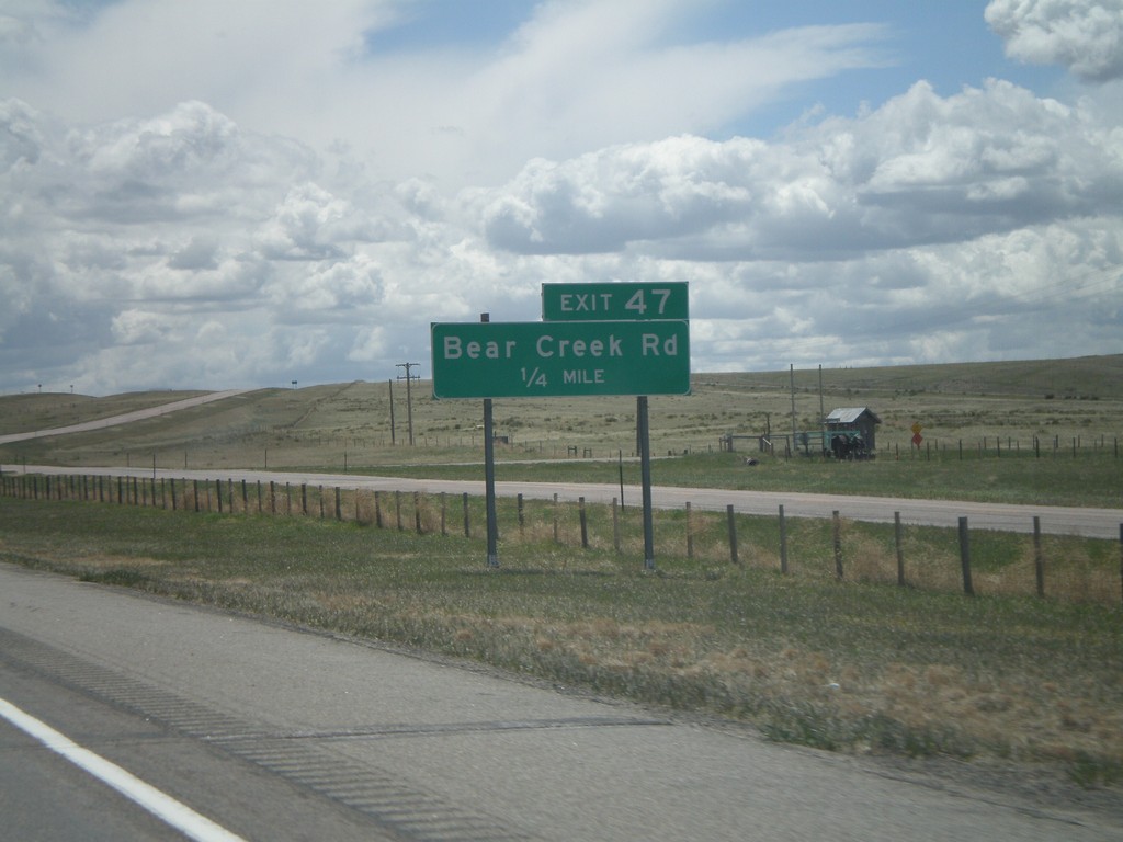
I-25 South - Exit 47
I-25 south approaching Exit 47 - Bear Creek Road.
Taken 05-16-2008
Chugwater
Platte County
Wyoming
United States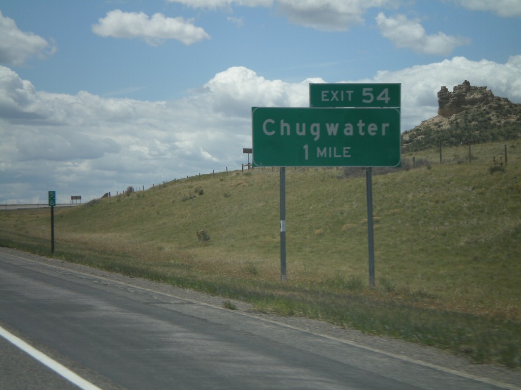
I-25 South - Exit 54
I-25 south approaching Exit 54 - Chugwater.
Taken 05-16-2008
 Chugwater
Platte County
Wyoming
United States
Chugwater
Platte County
Wyoming
United States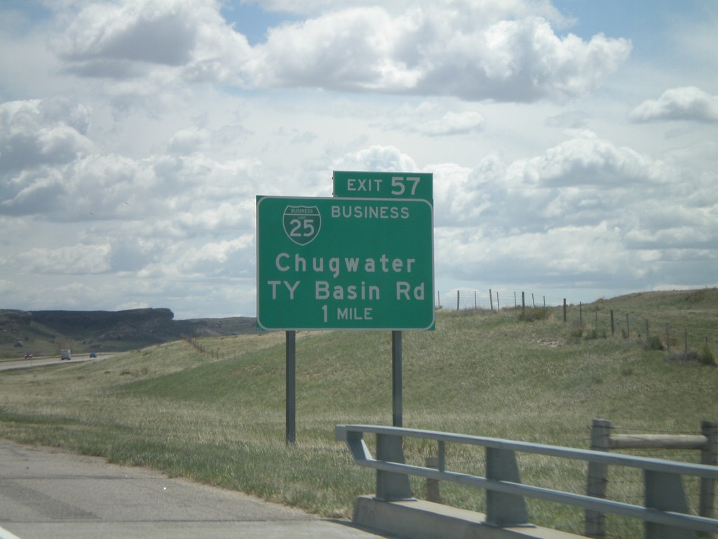
I-25 South - Exit 57
I-25 south approaching Exit 57 - BL-25/Chugwater/TY Basin Road.
Taken 05-16-2008
Chugwater
Platte County
Wyoming
United States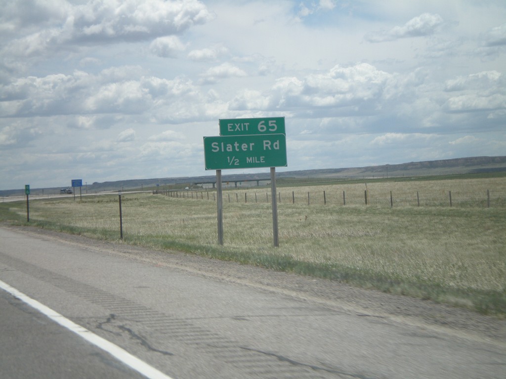
I-25 South - Exit 65
I-25 south approaching Exit 65 - Slater Road.
Taken 05-16-2008
Wheatland
Platte County
Wyoming
United States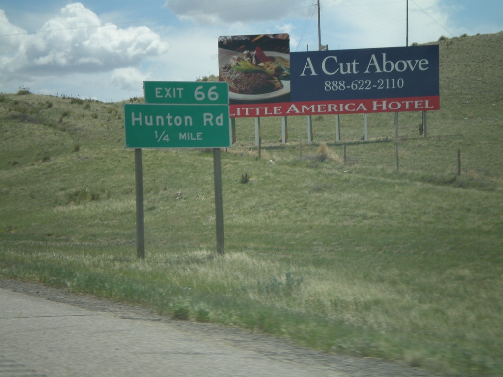
I-25 South - Exit 66
I-25 south approaching Exit 66 - Hunton Road.
Taken 05-16-2008
Wheatland
Platte County
Wyoming
United States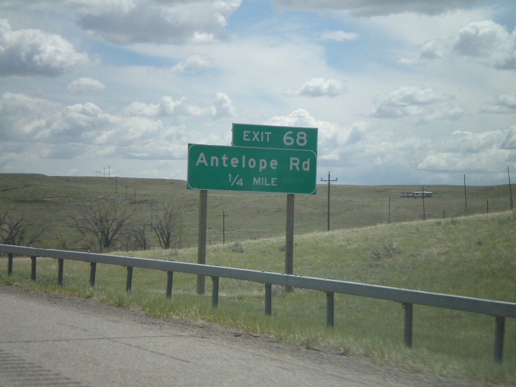
I-25 South - Exit 68
I-25 south approaching Exit 68 - Antelope Road.
Taken 05-16-2008
Slater
Platte County
Wyoming
United States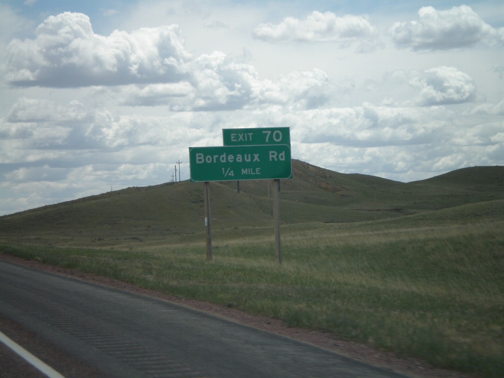
I-25 South - Exit 70
I-25 south approaching Exit 70 - Bordeaux Road.
Taken 05-16-2008
Slater
Platte County
Wyoming
United States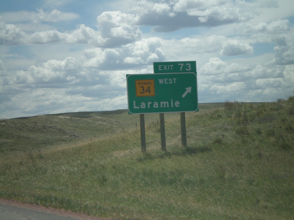
I-25 South - Exit 73
I-25 south at Exit 73 - WY-34 West/Laramie.
Taken 05-16-2008
 Slater
Platte County
Wyoming
United States
Slater
Platte County
Wyoming
United States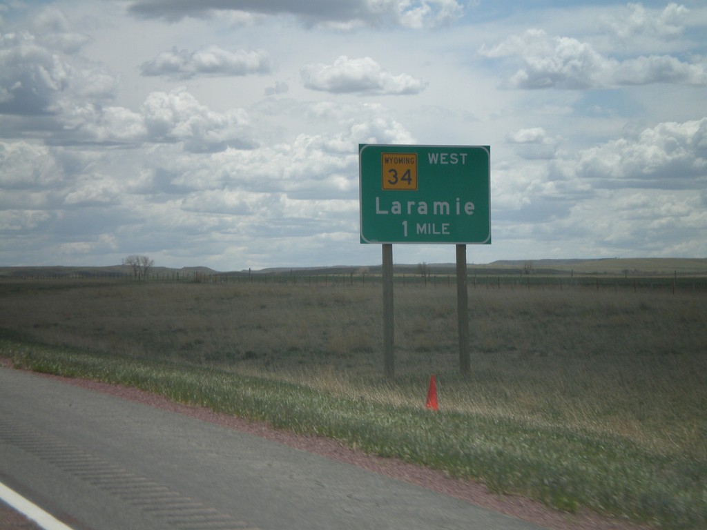
I-25 South Approaching Exit 73
I-25 south approaching Exit 73 - WY-34 West/Laramie. The exit tab is not present on this sign.
Taken 05-16-2008
Wheatland
Platte County
Wyoming
United States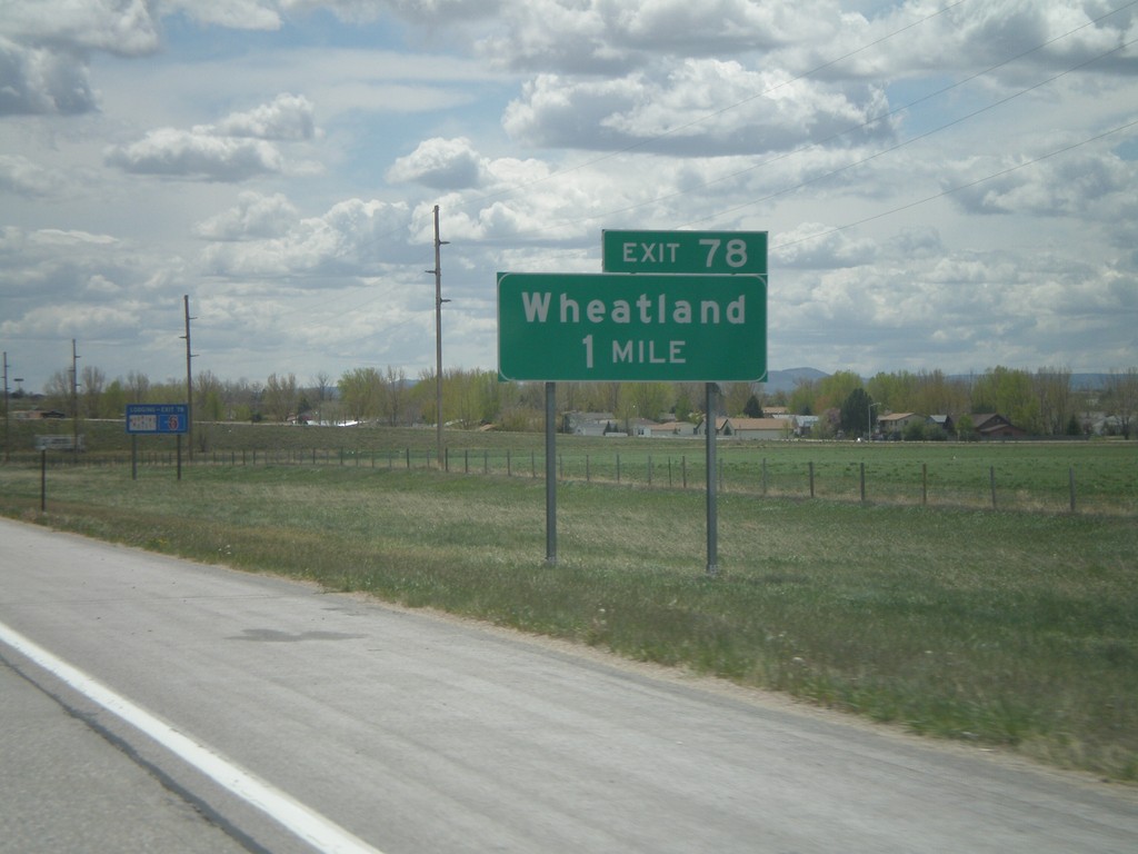
I-25 South - Exit 78
I-25 south approaching Exit 78 - Wheatland.
Taken 05-16-2008
Wheatland
Platte County
Wyoming
United States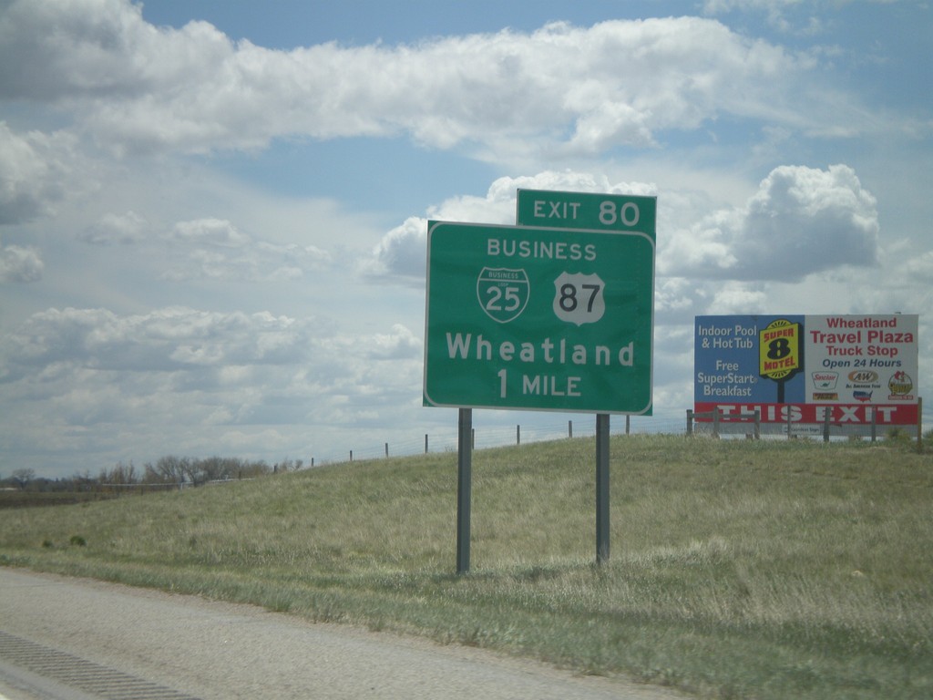
I-25 South - Exit 80
I-25 south approaching Exit 80 - BL-25/BL-87/Wheatland.
Taken 05-16-2008
Lakeview North
Platte County
Wyoming
United States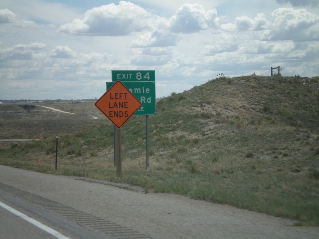
I-25 South - Exit 84
I-25 south approaching Exit 84 - Laramie River Road. The sign is partially obscured by a road construction sign. There was bridge work on the Laramie River bridge, just south of here.
Taken 05-16-2008
Wheatland
Platte County
Wyoming
United States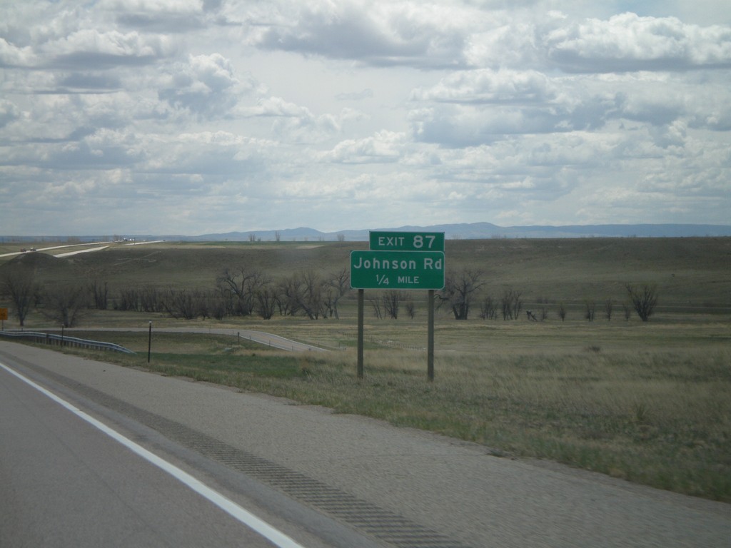
I-25 South - Exit 87
I-25 south approaching Exit 87 - Johnson Road.
Taken 05-16-2008
Wheatland
Platte County
Wyoming
United States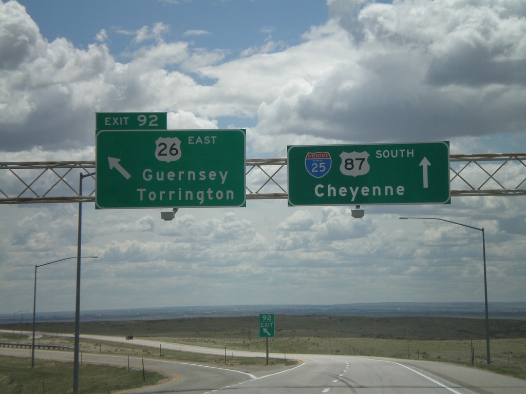
I-25 South - Exit 92
I-25 south at Exit 92 - US-26 East/Guernsey/Torrington. US-26 east leaves I-25 here, and follows the North Platte River into Nebraska.
Taken 05-16-2008
 Wheatland
Platte County
Wyoming
United States
Wheatland
Platte County
Wyoming
United States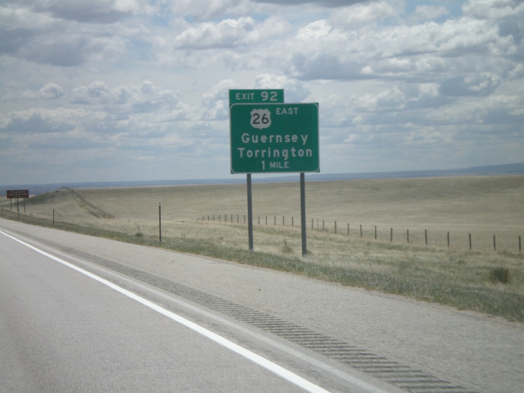
I-25 South - Exit 92
I-25 south approaching Exit 92 - US-26 East/Guernsey/Torrington.
Taken 05-16-2008
Wheatland
Platte County
Wyoming
United States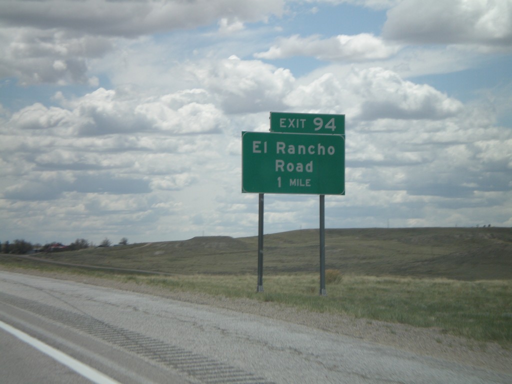
I-25 South - Exit 94
I-25 south approaching Exit 94 - El Rancho Road.
Taken 05-16-2008
Dwyer Junction
Platte County
Wyoming
United States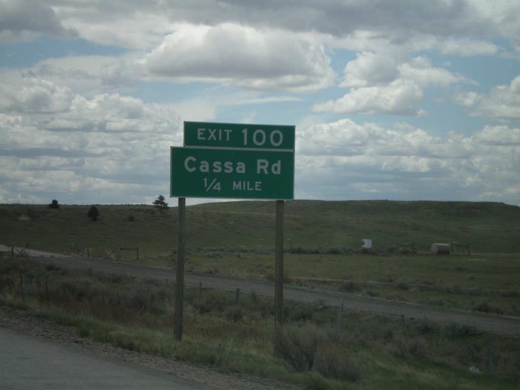
I-25 South - Exit 100
I-25 south approaching Exit 100 - Cassa Road.
Taken 05-16-2008
Wheatland
Platte County
Wyoming
United States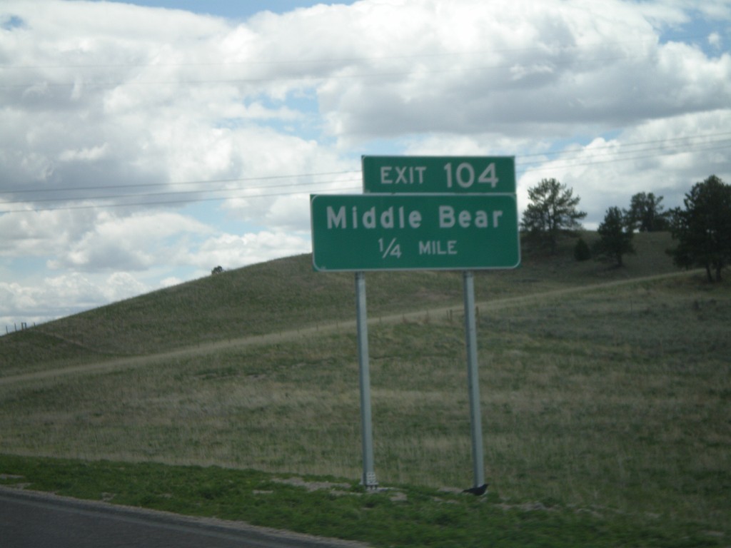
I-25 South - Exit 104
I-25 south approaching Exit 104 - Middle Bear
Taken 05-16-2008
Glendo
Platte County
Wyoming
United States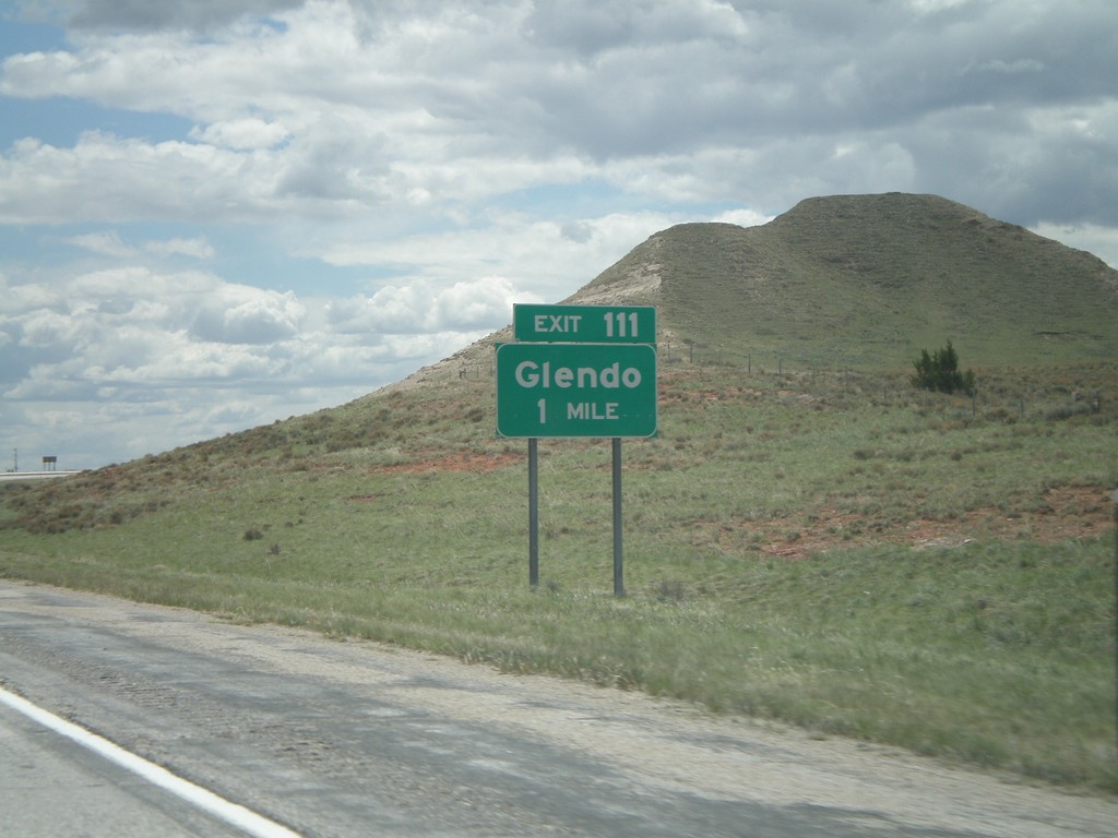
I-25 South - Exit 111
I-25 south approaching Exit 111 - Glendo.
Taken 05-16-2008
Glendo
Platte County
Wyoming
United States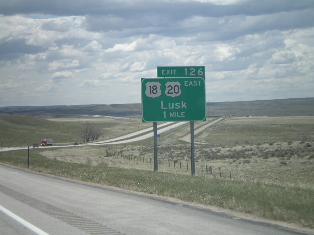
I-25 South - Exit 126
I-25 south approaching Exit 126 - US-20/US-18/Lusk. This is the beginning of US-18. US-20 leaves I-25 here and heads east into Nebraska.
Taken 05-16-2008

 Douglas
Converse County
Wyoming
United States
Douglas
Converse County
Wyoming
United States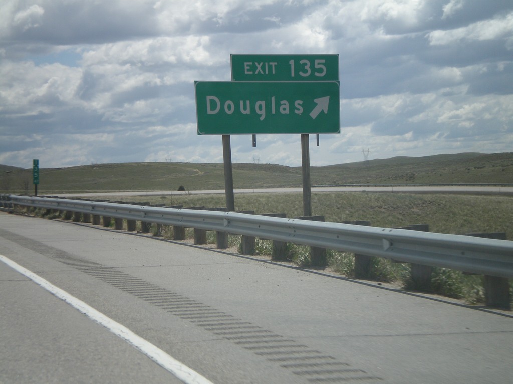
I-25 South - Exit 135
I-25 south at Exit 135 - Douglas.
Taken 05-16-2008


 Douglas
Converse County
Wyoming
United States
Douglas
Converse County
Wyoming
United States