Signs Tagged With Big Green Sign
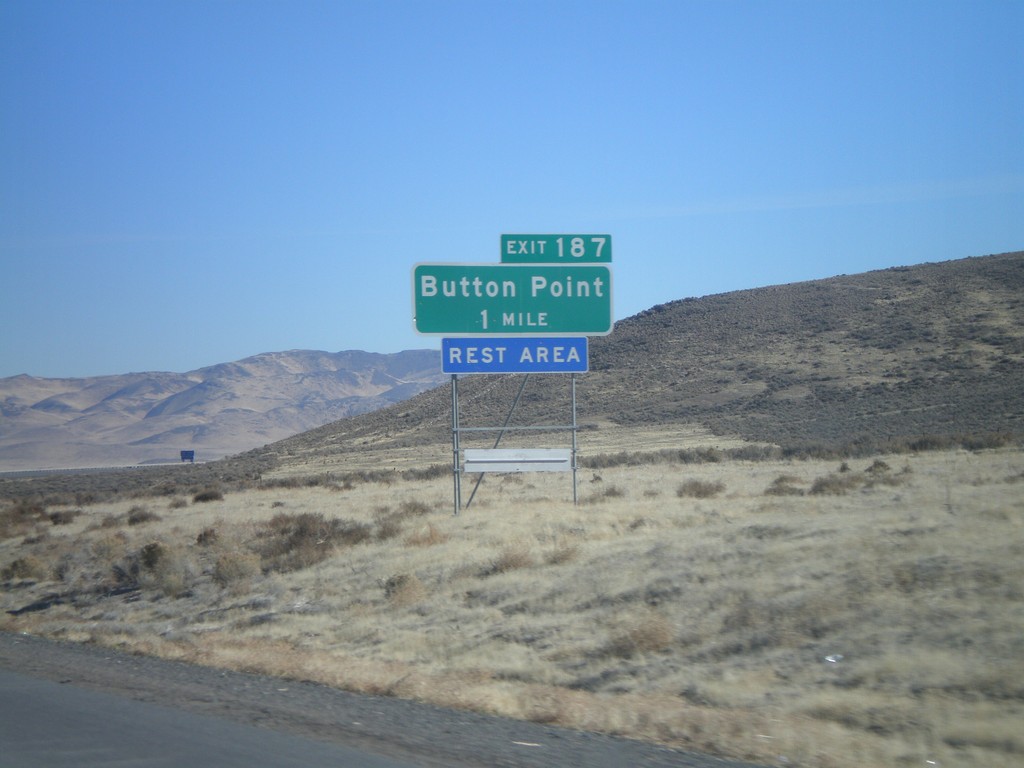
I-80 East Exit 187
I-80 east approaching Exit 187 - Button Point
Taken 11-24-2007
 Winnemucca
Humboldt County
Nevada
United States
Winnemucca
Humboldt County
Nevada
United States
End NV-794 West at NV-289/BL-80
End NV-794 at NV-289/BL-80. Turn right on NV-289/BL-80 to Reno and Elko. Turn left for Winnemucca city center.
Taken 11-24-2007

 Winnemucca
Humboldt County
Nevada
United States
Winnemucca
Humboldt County
Nevada
United States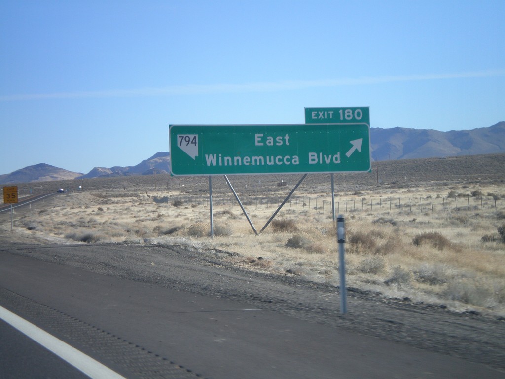
I-80 East Exit 180
I-80 east at Exit 180 - NV-794/East Winnemucca Blvd.
Taken 11-24-2007
Winnemucca
Humboldt County
Nevada
United States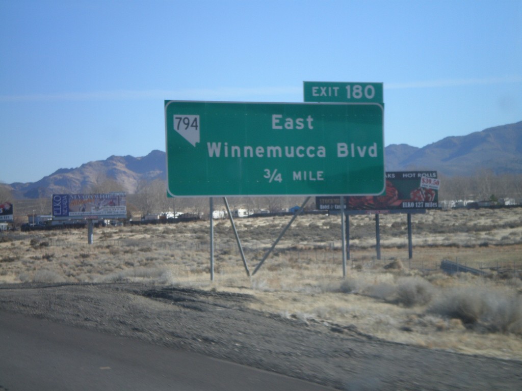
I-80 East Exit 180
I-80 west approaching Exit 180 - NV-764/East Winnemucca Blvd.
Taken 11-24-2007
Winnemucca
Humboldt County
Nevada
United States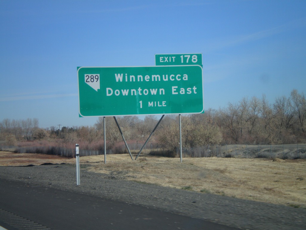
I-80 East Exit 178
I-80 east approaching Exit 178 - NV-289/Winnemucca/Downtown East
Taken 11-24-2007
Winnemucca
Humboldt County
Nevada
United States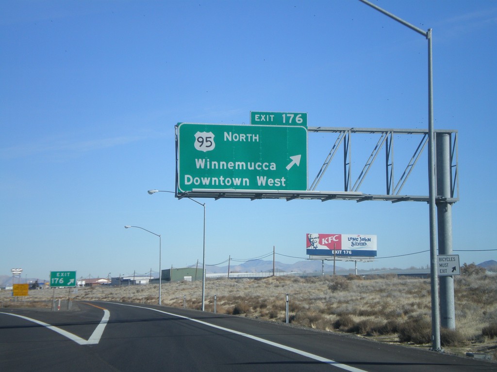
I-80 East Exit 176
I-80 east at Exit 176 - US-95 North/Winnemucca/Downtown West
Taken 11-24-2007
 Winnemucca
Humboldt County
Nevada
United States
Winnemucca
Humboldt County
Nevada
United States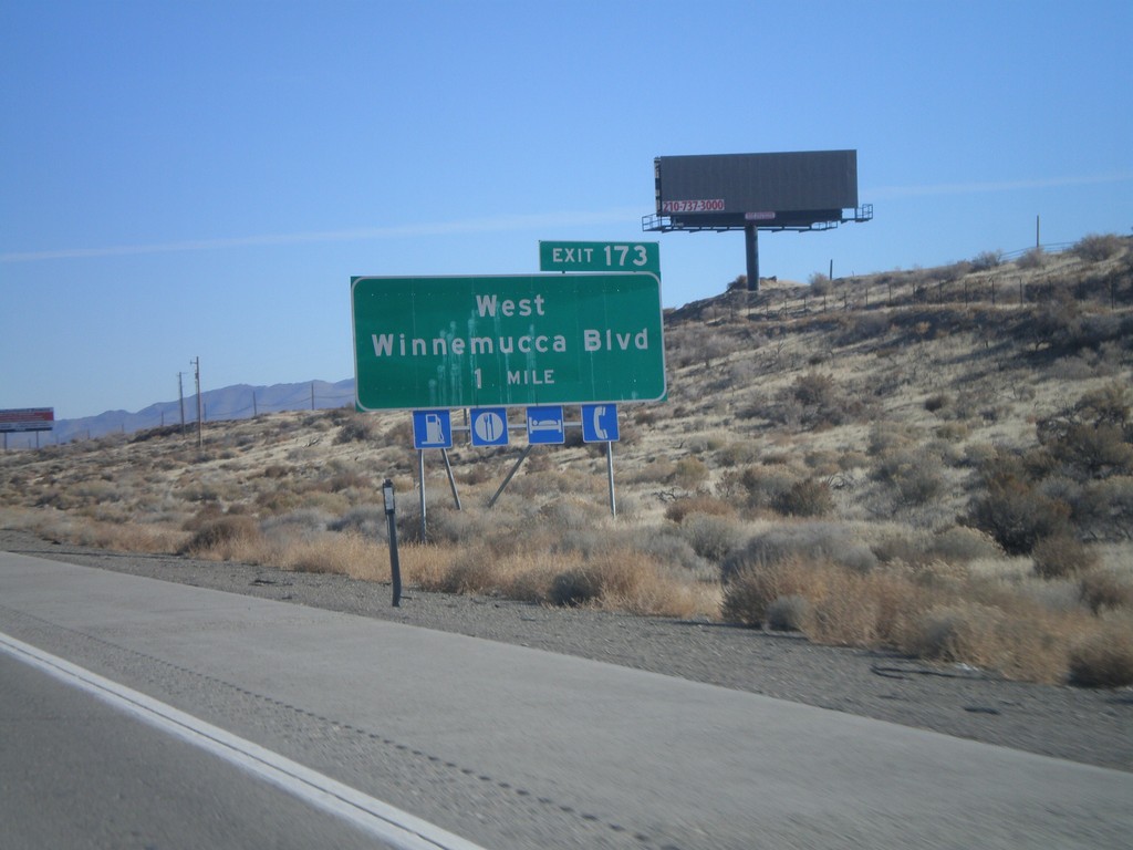
I-80 East Exit 173
I-80 east approaching Exit 173 - West Winnemucca Blvd.
Taken 11-24-2007
Winnemucca
Humboldt County
Nevada
United States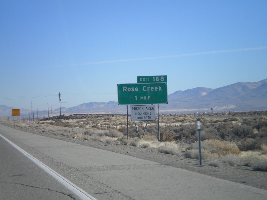
I-80 East Exit 168
I-80 east approaching Exit 168 - Rose Creek. Prison Area - Hitchhiking Prohibited.
Taken 11-24-2007
Winnemucca
Humboldt County
Nevada
United States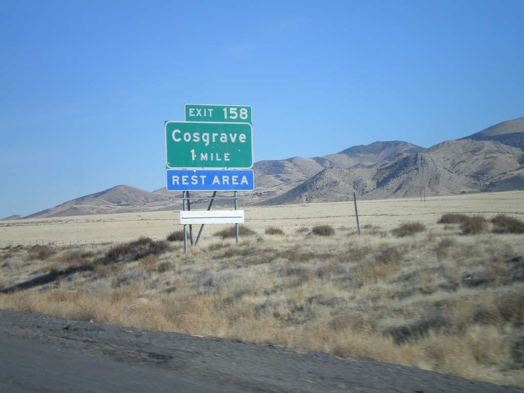
I-80 East Exit 158
I-80 east approaching Exit 158 - Cosgrave
Taken 11-24-2007
Winnemucca
Pershing County
Nevada
United States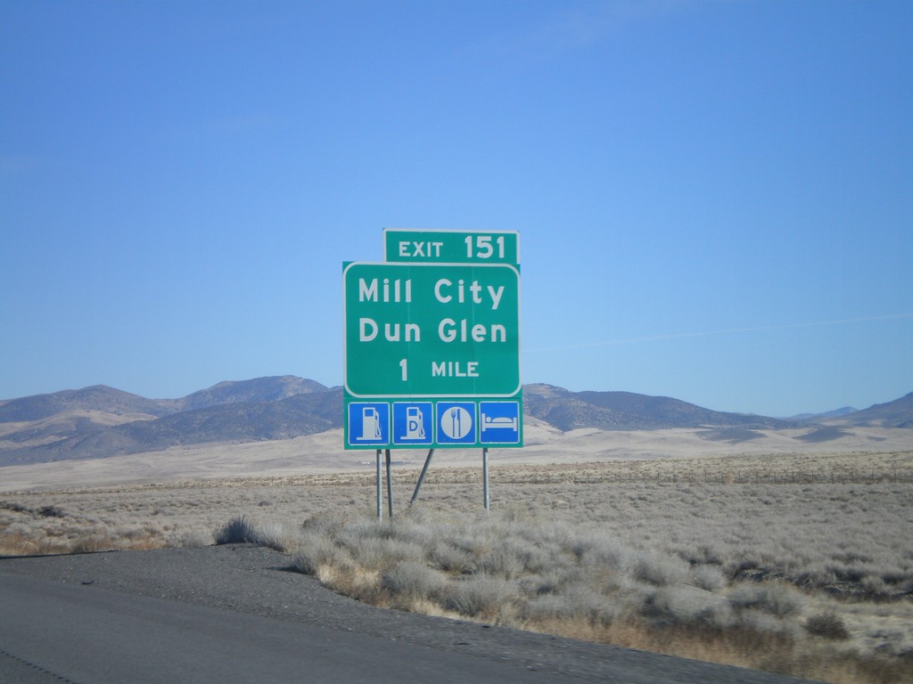
I-80 East Exit 151
I-80 east approaching Exit 151 - Mill City/Dun Glen
Taken 11-24-2007
Mill City
Pershing County
Nevada
United States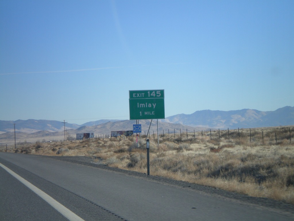
I-80 East Exit 145
I-80 east approaching Exit 145 - Imlay
Taken 11-24-2007
Imlay
Pershing County
Nevada
United States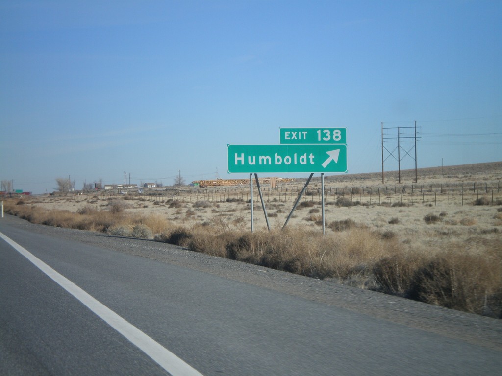
I-80 East Exit 138
I-80 east approaching Exit 138 - Humboldt
Taken 11-24-2007
Imlay
Pershing County
Nevada
United States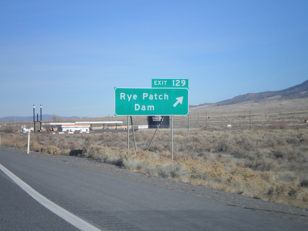
I-80 East Exit 129
I-80 east at Exit 129 - Rye Patch Dam
Taken 11-24-2007
Lovelock
Pershing County
Nevada
United States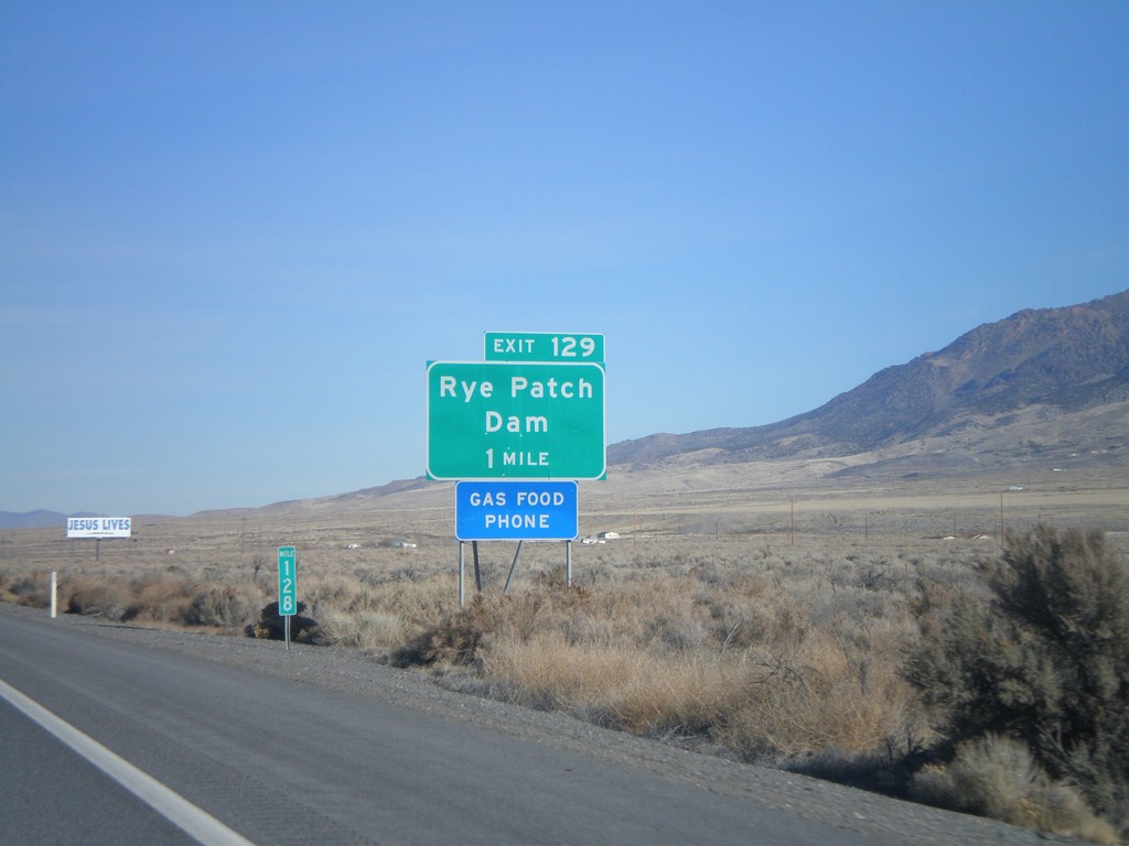
I-80 East Exit 129
I-80 east approaching Exit 129 - Rye Patch Dam
Taken 11-24-2007
Lovelock
Pershing County
Nevada
United States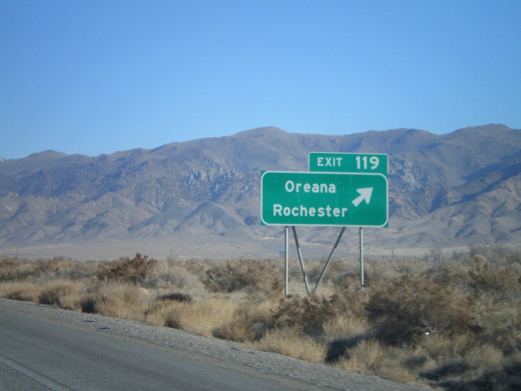
I-80 East Exit 119
I-80 east at Exit 119 - Oreana/Rochester
Taken 11-24-2007
Lovelock
Pershing County
Nevada
United States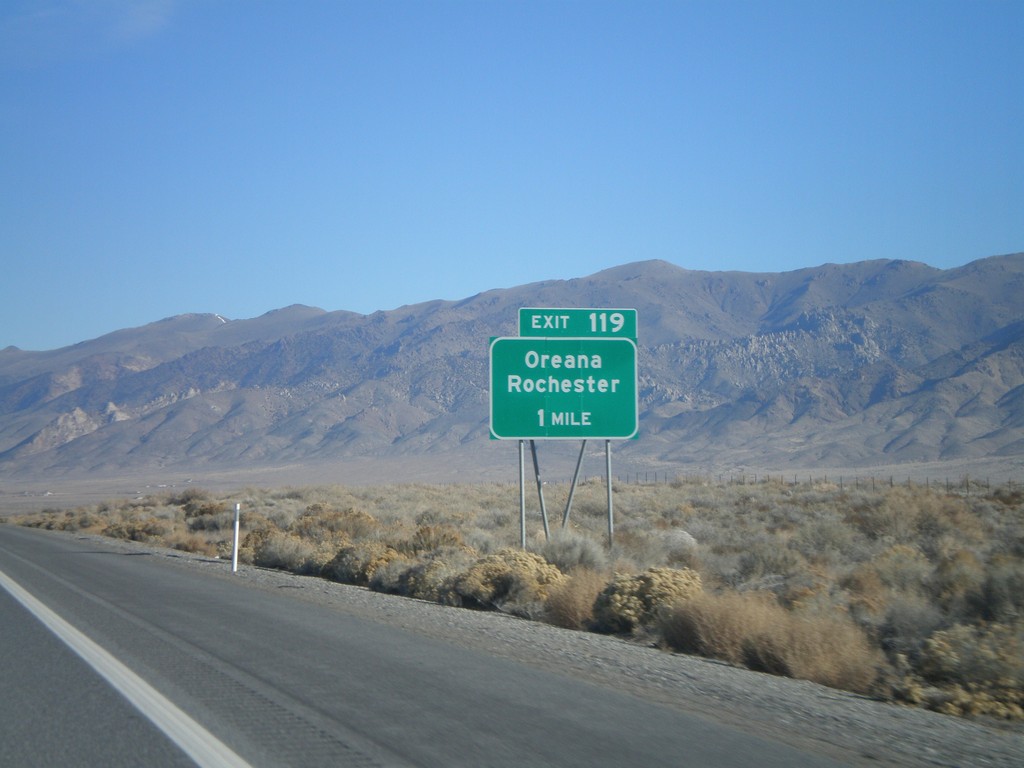
I-80 East Exit 119
I-80 east approaching Exit 119 - Oreana/Rochester
Taken 11-24-2007
Woolsey
Pershing County
Nevada
United States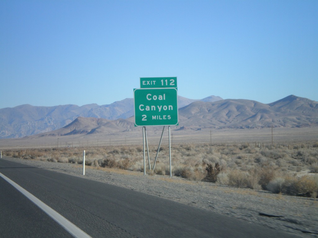
I-80 East Exit 112
I-80 east approaching Exit 112 - Coal Canyon
Taken 11-24-2007
Lovelock
Pershing County
Nevada
United States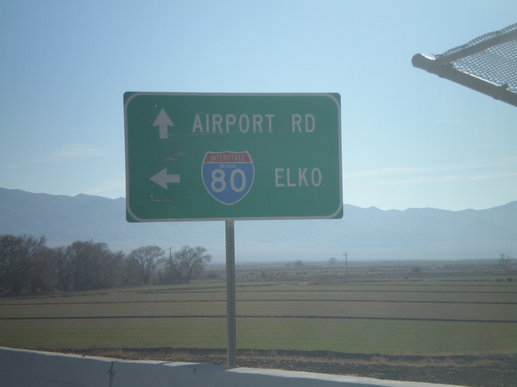
BL-80/NV-856 East at I-80 East
NV-856/BL-80 at I-80 east to Elko
Taken 11-24-2007
 Lovelock
Pershing County
Nevada
United States
Lovelock
Pershing County
Nevada
United States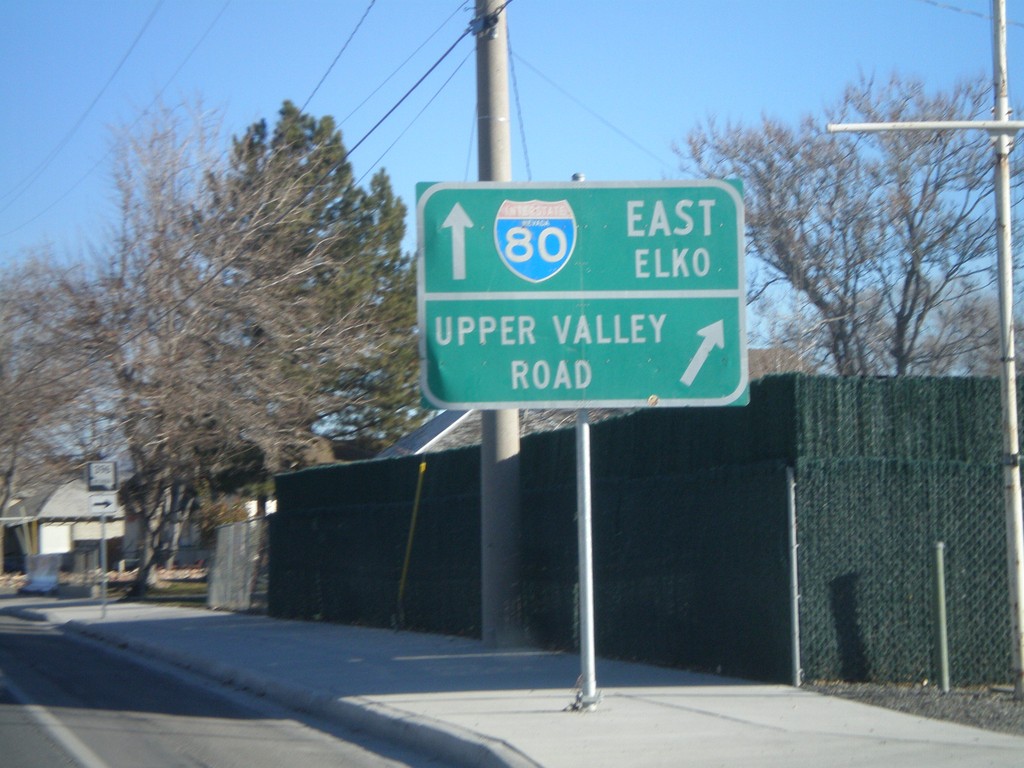
NV-396 East at NV-856
BL-80/NV-396 east at NV-856 jct. NV-396 continues to the right as Upper Valley Road. NV-856/BL-80 continue eastward.
Taken 11-24-2007
 Lovelock
Pershing County
Nevada
United States
Lovelock
Pershing County
Nevada
United States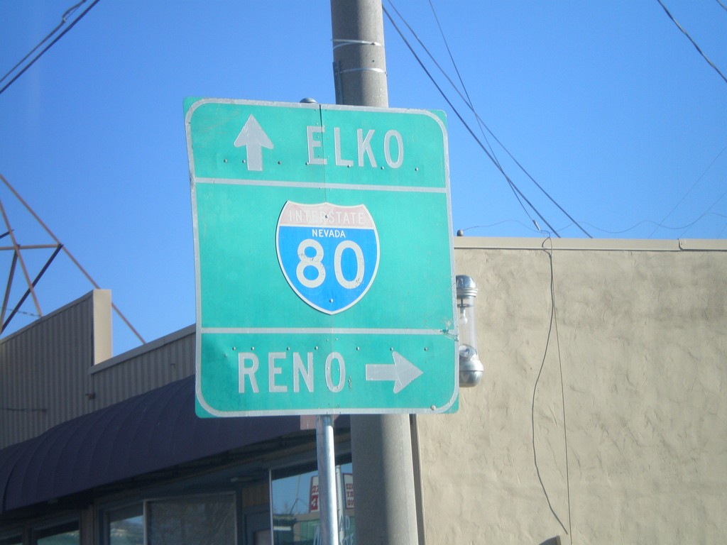
BL-80/NV-396 East at NV-398
BL-80/NV-396 east (Cornell Ave) at NV-398/Main St. Use NV-398 for I-80 westbound access.
Taken 11-24-2007
 Lovelock
Pershing County
Nevada
United States
Lovelock
Pershing County
Nevada
United States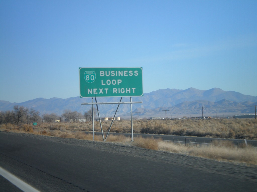
I-80 East Exit 105 - Business Loop
I-80 east approaching Exit 105. Use Exit 105 for Business Loop.
Taken 11-24-2007
 Lovelock
Pershing County
Nevada
United States
Lovelock
Pershing County
Nevada
United States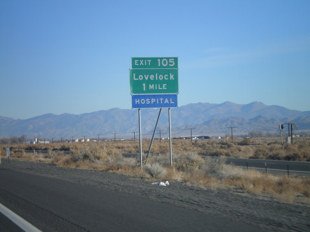
I-80 East Exit 105
I-80 east approaching Exit 105 - Lovelock
Taken 11-24-2007
Lovelock
Pershing County
Nevada
United States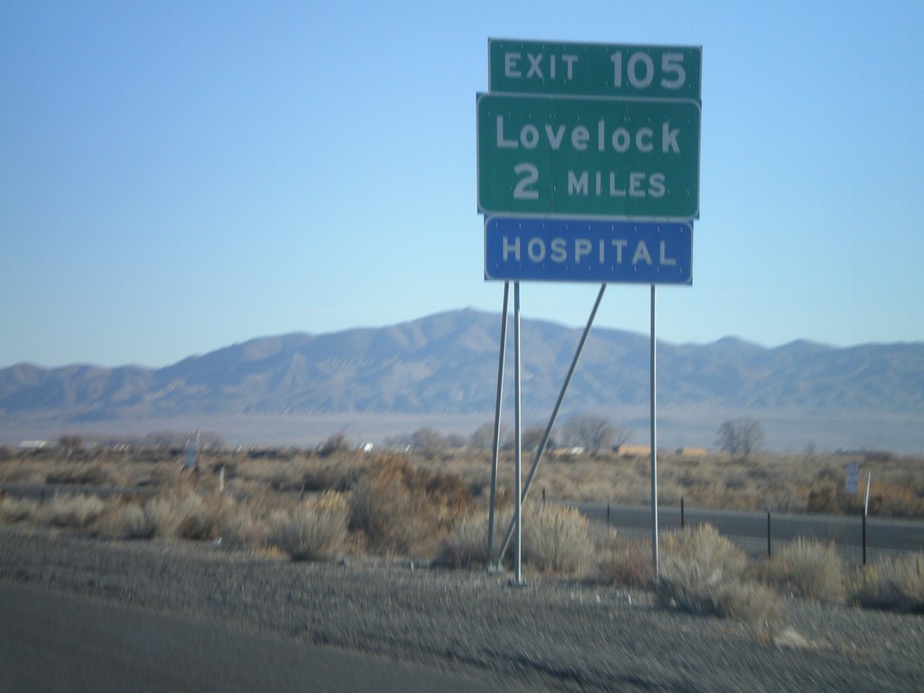
I-80 East Exit 105
I-80 east approaching Exit 105 - Lovelock
Taken 11-24-2007
Lovelock
Pershing County
Nevada
United States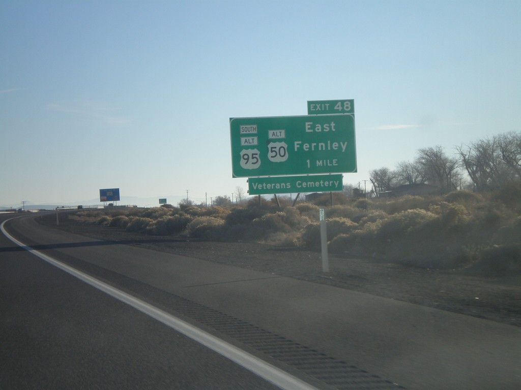
I-80 East Exit 48
I-80 east approaching Exit 48 - US-95 Alt South/US-50 Alt/East Fernley
Taken 11-24-2007

 Fernley
Lyon County
Nevada
United States
Fernley
Lyon County
Nevada
United States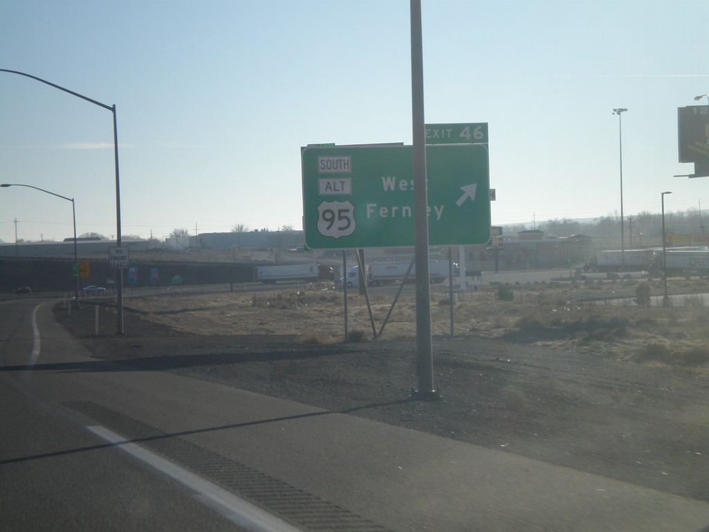
I-80 East Exit 46
I-80 east at Exit 46 - US-95 Alt South/West Fernley
Taken 11-24-2007
 Fernley
Lyon County
Nevada
United States
Fernley
Lyon County
Nevada
United States