Signs Tagged With Big Green Sign
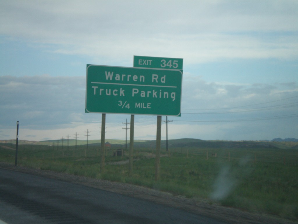
I-80 West Exit 345
I-80 west approaching Exit 345, Warren Road/Truck Parking, 3/4 mile.
Taken 05-29-2007
 Cheyenne
Laramie County
Wyoming
United States
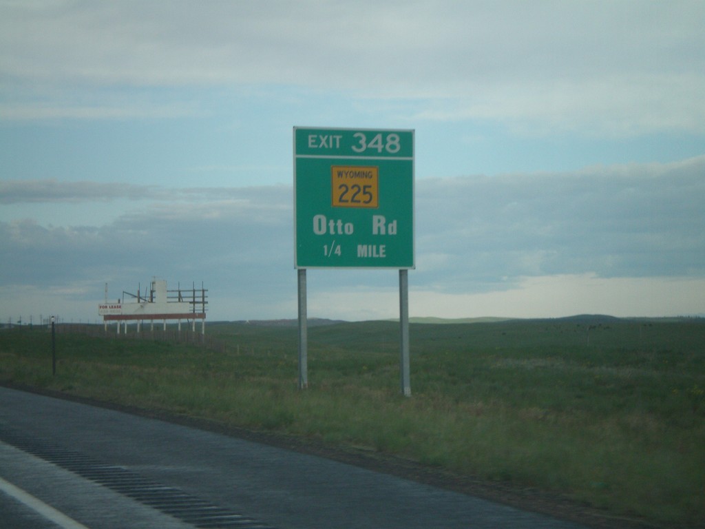
I-80 West Exit 348
I-80 west approaching Exit 348, WY-225/Otto Road, 1/4 mile.
Taken 05-29-2007

 Cheyenne
Laramie County
Wyoming
United States
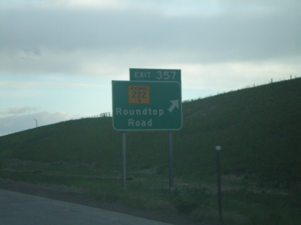
I-80 West Exit 357
I-80 west at Exit 357, WY-222/Roundtop Road.
Taken 05-29-2007

 Cheyenne
Laramie County
Wyoming
United States
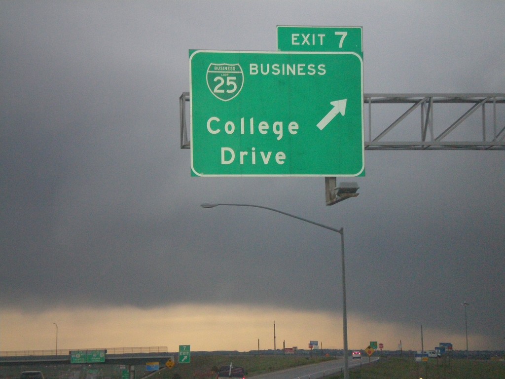
I-25 North - Exit 7
I-25 north at Exit 7, BL-25/College Drive.
Taken 05-29-2007


 Cheyenne
Laramie County
Wyoming
United States
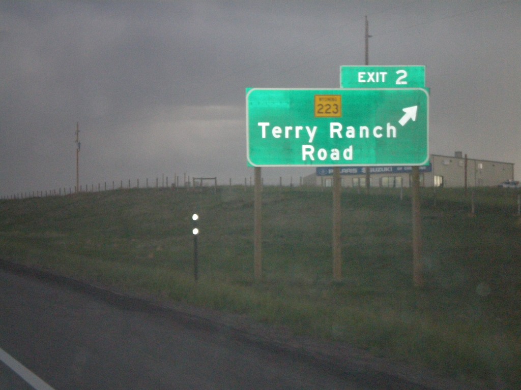
I-25 North - Exit 2
I-25 north at Exit 2, WY-223/Terry Ranch Road.
Taken 05-29-2007


 Cheyenne
Laramie County
Wyoming
United States
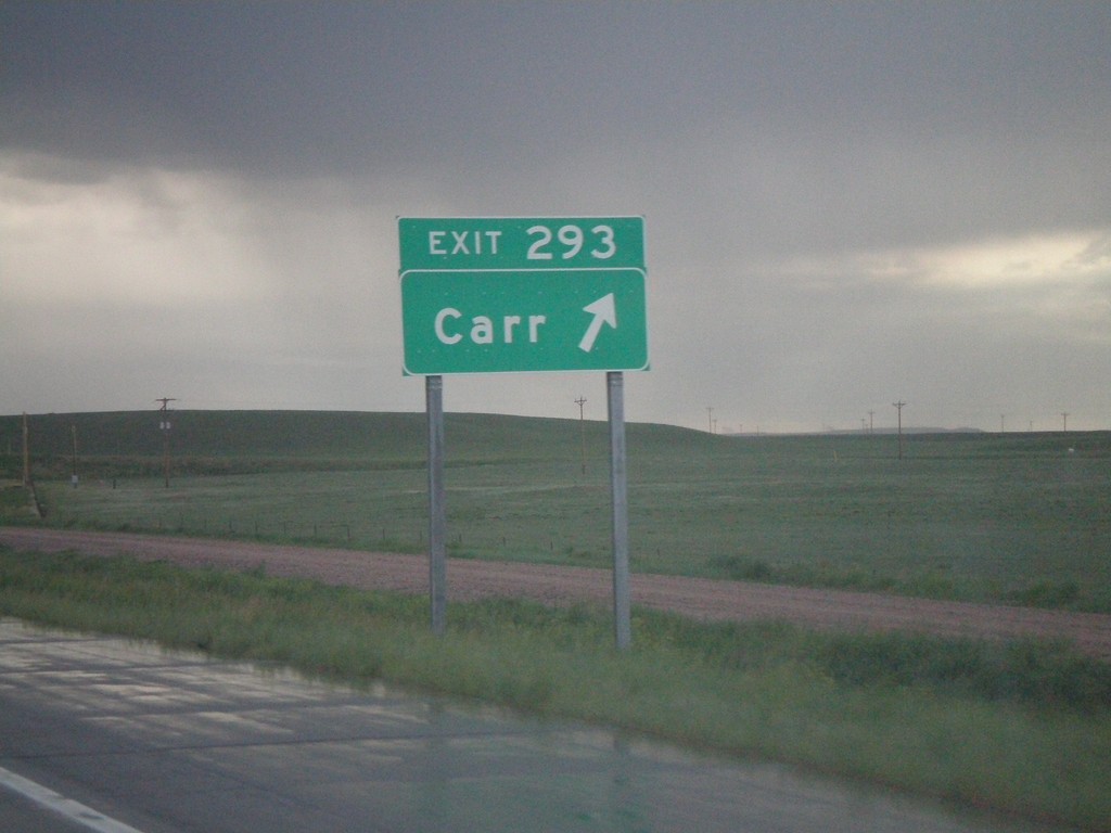
I-25 North - Exit 293
I-25 north at Exit 293, Carr.
Taken 05-29-2007

 Carr
Weld County
Colorado
United States
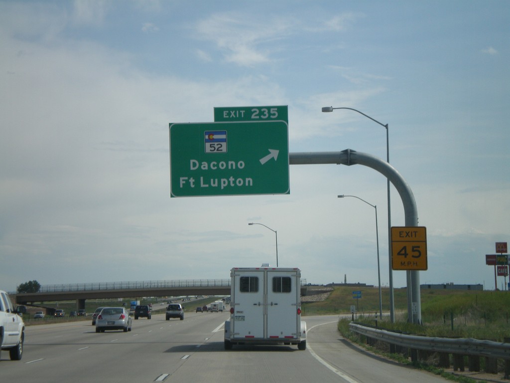
I-25 South - Exit 235
I-25 south at Exit 235, CO-52/Fort Lupton/Dacono.
Taken 05-28-2007


 Frederick
Weld County
Colorado
United States
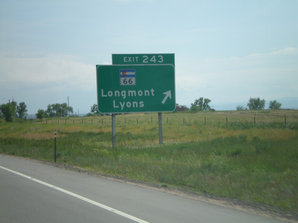
I-25 South - Exit 243
I-25 south at Exit 243, CO-66/Longmont/Lyons.
Taken 05-28-2007


 Longmont
Weld County
Colorado
United States
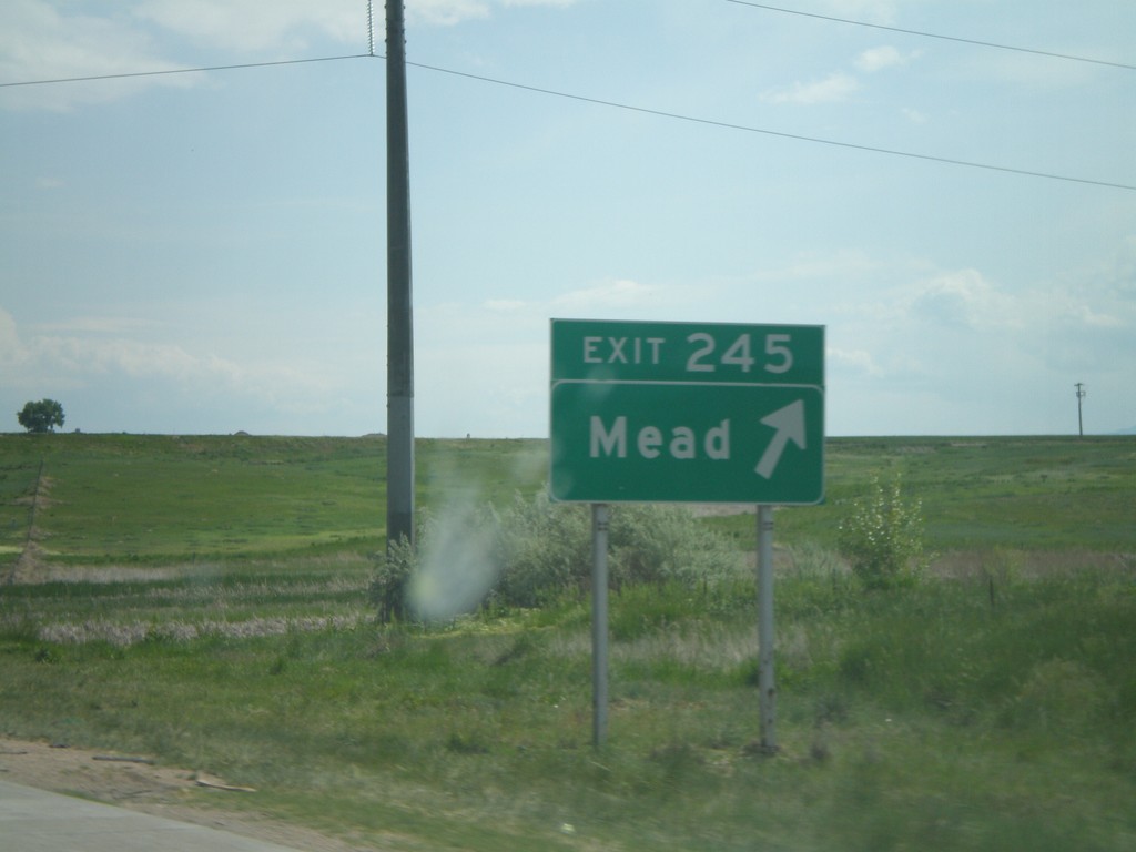
I-25 South - Exit 245
I-25 south at Exit 245, Mead.
Taken 05-28-2007

 Mead
Weld County
Colorado
United States
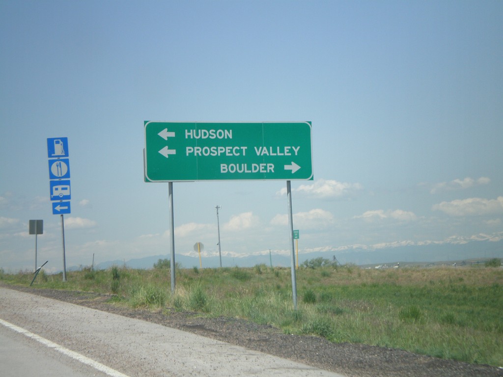
I-76 West - Exit 31 Offramp (CO-52 Jct.)
I-76 offramp at Exit 31, CO-52 to Prospect Valley, Hudson, and Boulder.
Taken 05-27-2007


 Hudson
Weld County
Colorado
United States
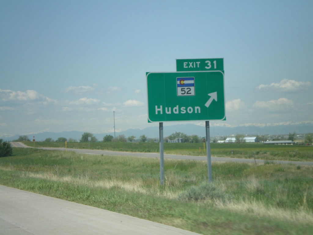
I-76 West - Exit 31
I-76 west at Exit 31, CO-52/Hudson.
Taken 05-27-2007


 Hudson
Weld County
Colorado
United States
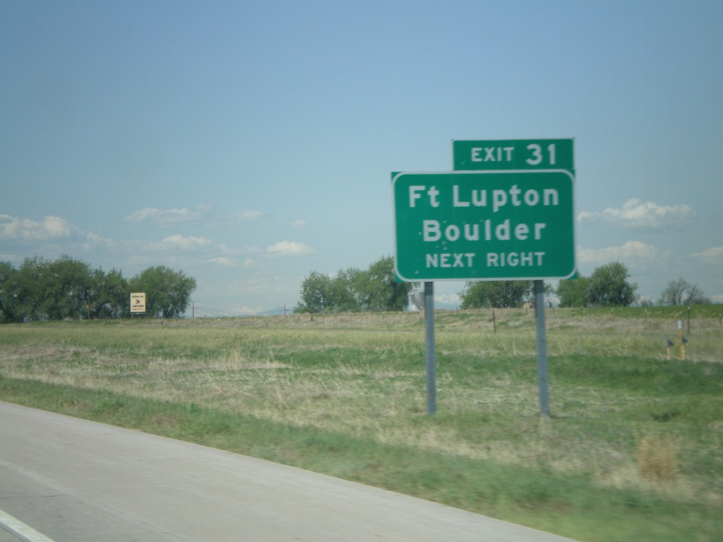
I-76 West - Exit 31
I-76 west approaching Exit 31. Use CO-52 West for Ft. Lupton and Boulder.
Taken 05-27-2007


 Hudson
Weld County
Colorado
United States
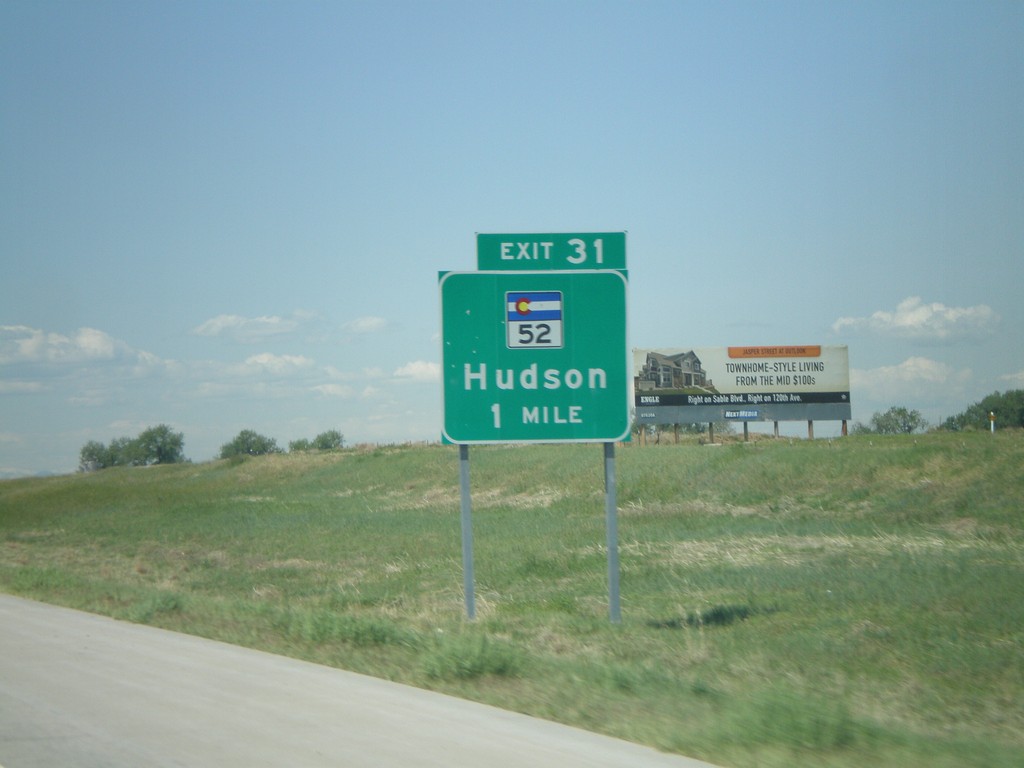
I-76 West - Exit 31
I-76 west approaching Exit 31, CO-52/Hudson, 1 mile.
Taken 05-27-2007


 Hudson
Weld County
Colorado
United States
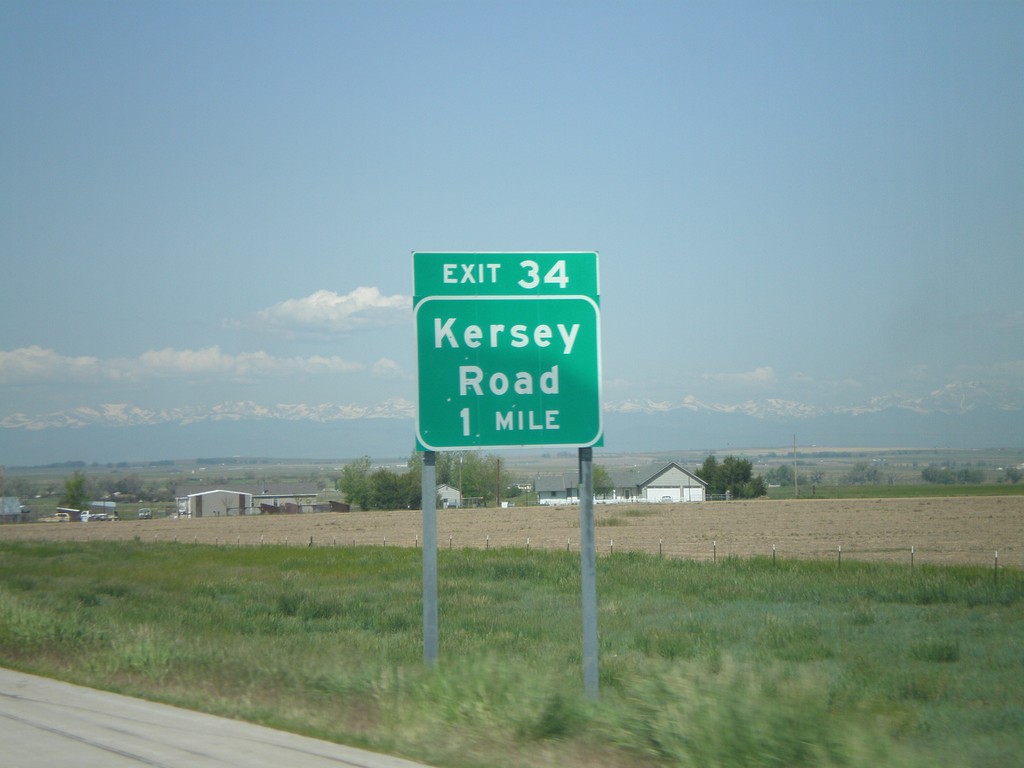
I-76 West - Exit 34
I-76 west approaching Exit 34, Kersey Road, 1 mile.
Taken 05-27-2007

 Keenesburg
Weld County
Colorado
United States
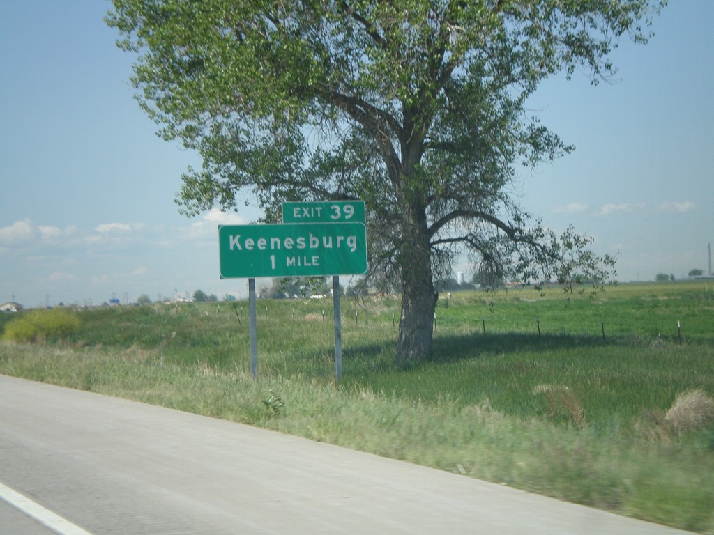
I-76 West - Exit 39
I-76 west approaching Exit 39, Keenesburg, 1 mile.
Taken 05-27-2007

 Keenesburg
Weld County
Colorado
United States
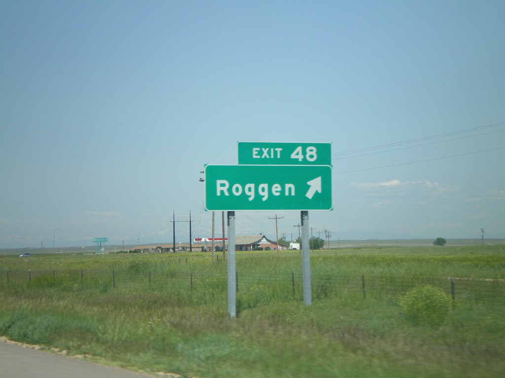
I-76 West - Exit 48
I-76 west at Exit 48, Roggen.
Taken 05-27-2007

 Roggen
Weld County
Colorado
United States
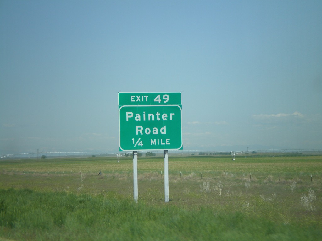
I-76 West - Exit 49
I-76 west approaching Exit 49, Painter Road, 1/4 mile.
Taken 05-27-2007

 Roggen
Weld County
Colorado
United States
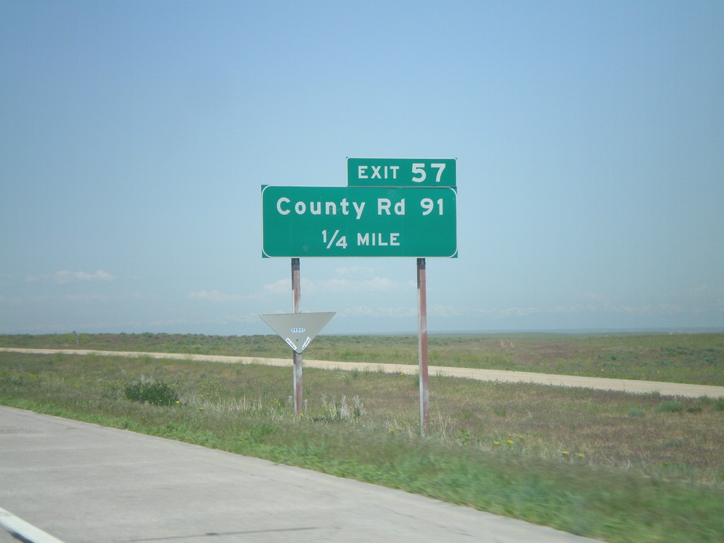
I-76 West - Exit 57
I-76 west approaching Exit 57, County Road 91, 1/4 mile.
Taken 05-27-2007

 Orchard
Weld County
Colorado
United States
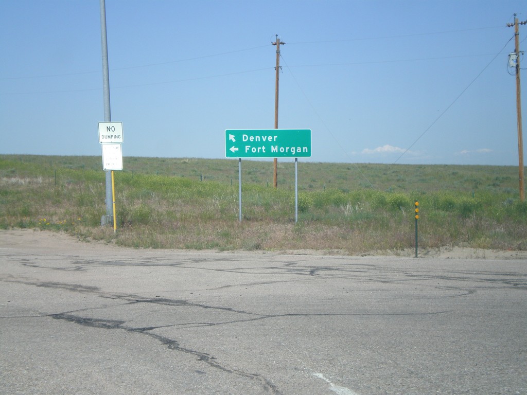
I-76 Onramp at Exit 60
I-76 freeway entrance at Exit 60 to Ft. Morgan and Denver.
Taken 05-27-2007

 Wiggins
Weld County
Colorado
United States
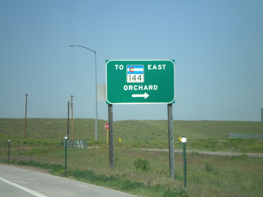
I-76 West at Exit 60 Offramp
I-76 west offramp at Exit 60 to CO-144/Orchard.
Taken 05-27-2007


 Wiggins
Weld County
Colorado
United States
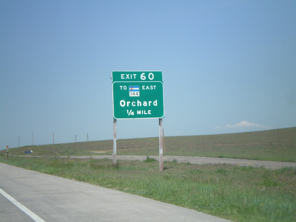
I-76 West - Exit 66A
I-76 west approaching Exit 66A, To CO-144 East/Orchard, 1/4 mile.
Taken 05-27-2007


 Wiggins
Weld County
Colorado
United States
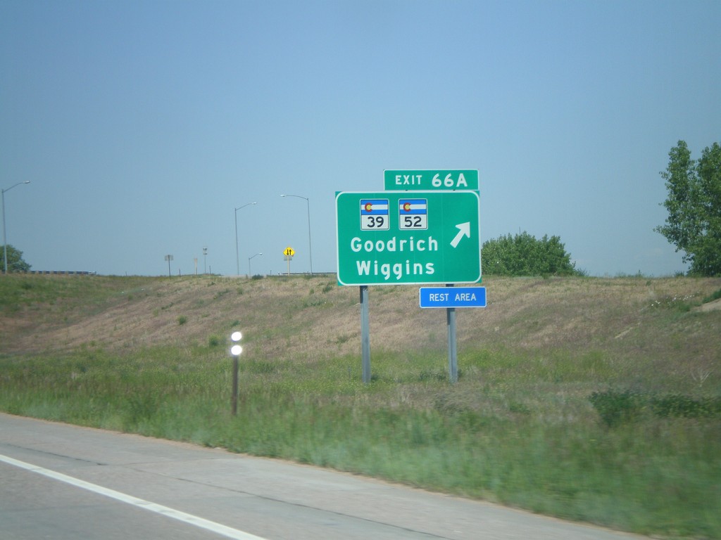
I-76 West - Exit 66A
I-76 west at Exit 66A, CO-39/CO-52/Goodrich/Wiggins.
Taken 05-27-2007


 Wiggins
Morgan County
Colorado
United States
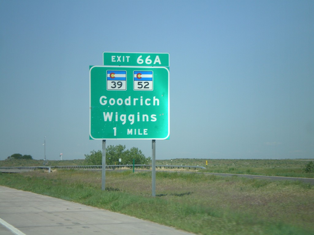
I-76 West - Exit 66A
I-76 west approaching Exit 66A, CO-39/CO-52/Goodrich/Wiggins, 1 mile.
Taken 05-27-2007


 Wiggins
Morgan County
Colorado
United States
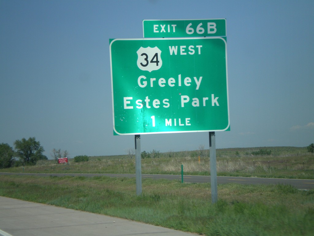
I-76 West - Exit 66B
I-76 west approaching Exit 66B, US-34 West/Greeley/Estes Park, 1 mile.
Taken 05-27-2007

 Wiggins
Morgan County
Colorado
United States
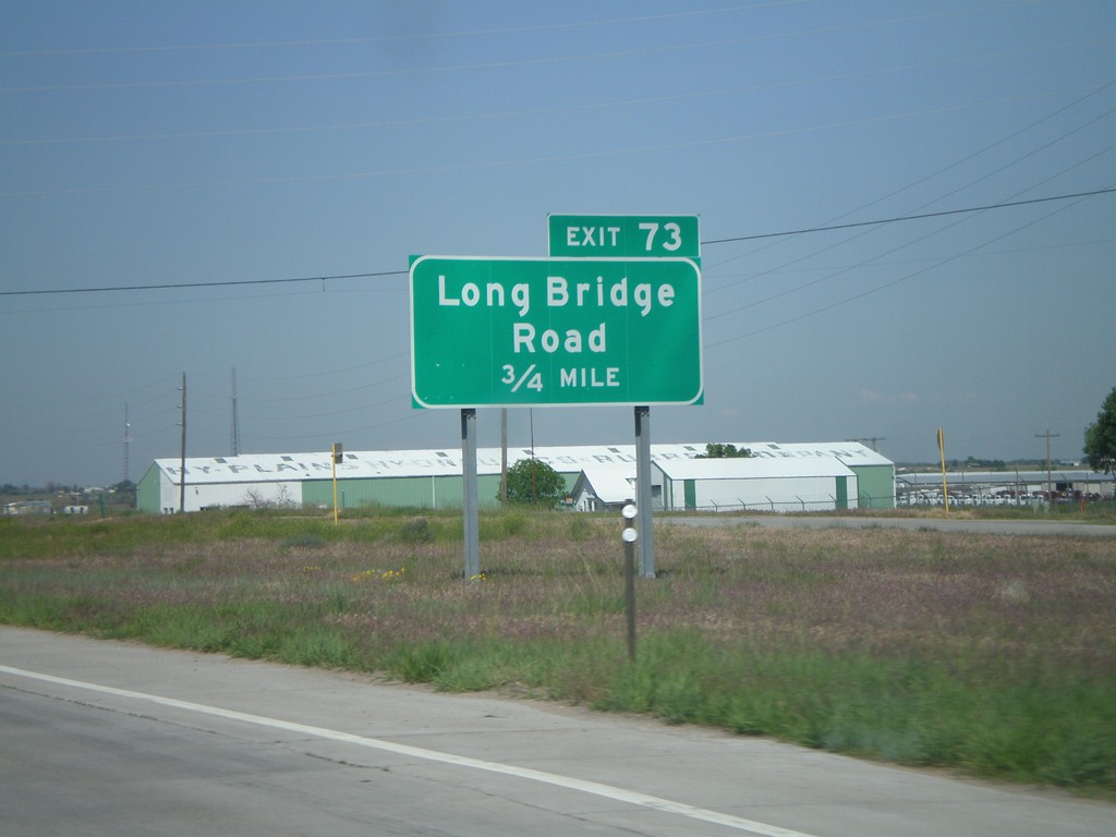
I-76 West - Exit 73
I-76 west approaching Exit 73, Long Bridge Road, 3/4 mile.
Taken 05-27-2007

 Fort Morgan
Morgan County
Colorado
United States