Signs Tagged With Big Green Sign
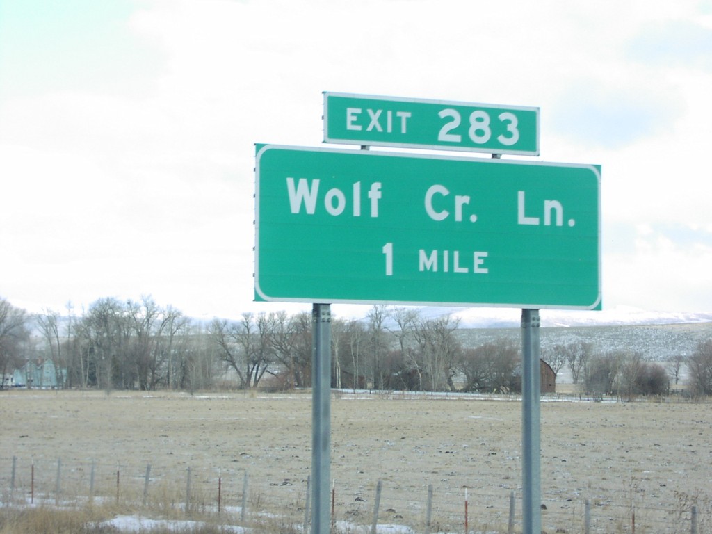
I-84 West Exit 283
I-84 west approaching Exit 283, Wolf Creek Lane, 1 mile.
Taken 01-01-2007
 North Powder
Union County
Oregon
United States
North Powder
Union County
Oregon
United States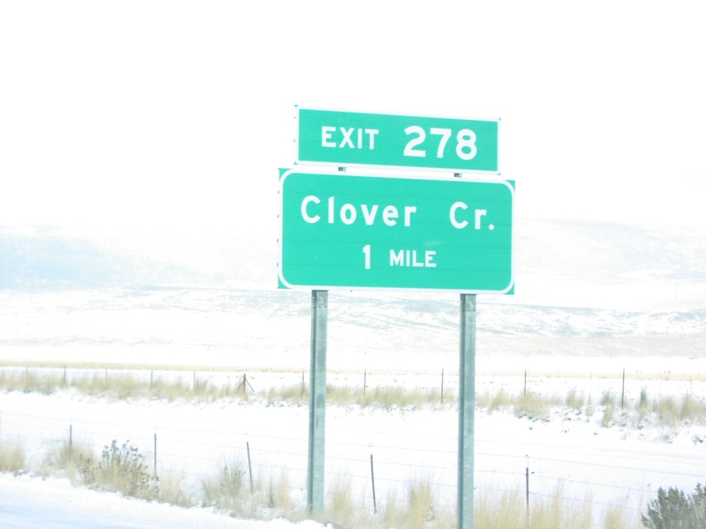
I-84 West Exit 278
I-84 west approaching Exit 278, Clover Creek, 1 mile.
Taken 01-01-2007
North Powder
Union County
Oregon
United States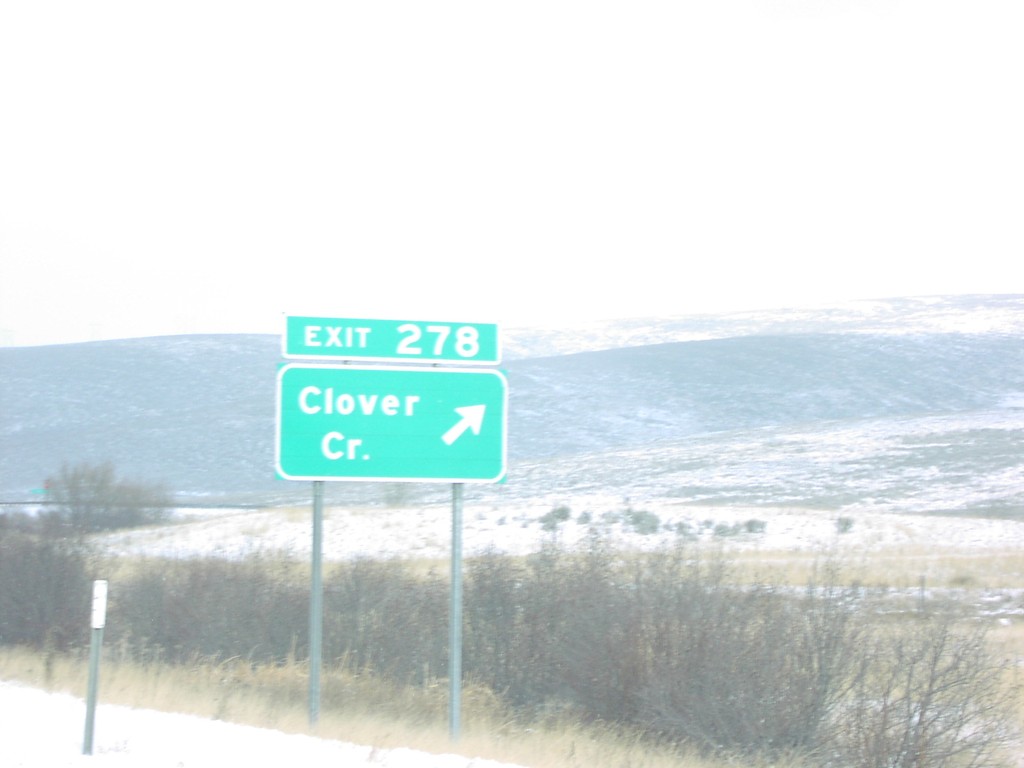
I-84 West Exit 278
I-84 west at Exit 278, Clover Creek.
Taken 01-01-2007
North Powder
Union County
Oregon
United States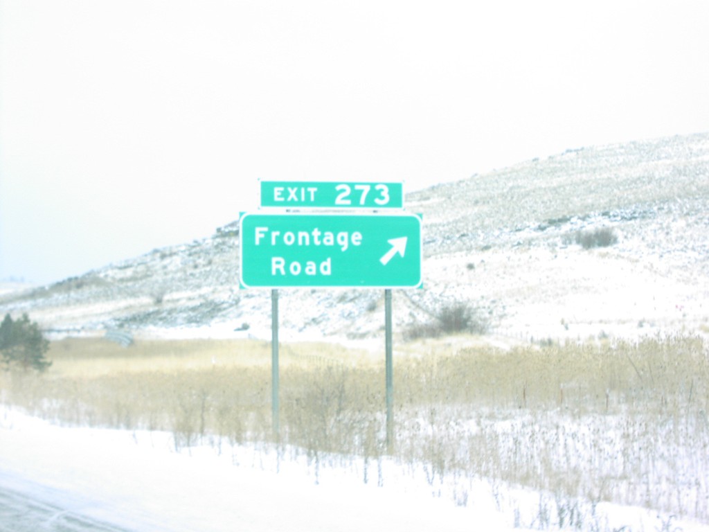
I-84 West Exit 273
I-84 west at Exit 273, Frontage Road.
Taken 01-01-2007
Union
Union County
Oregon
United States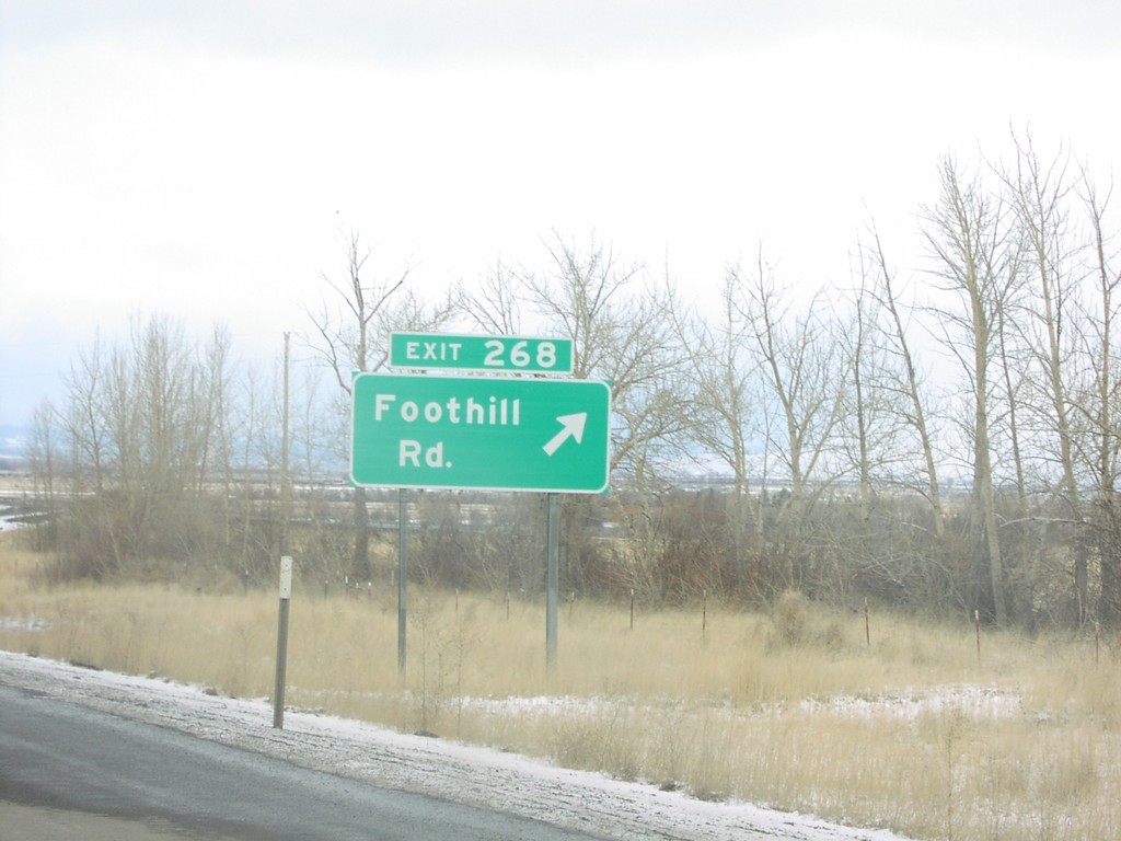
I-84 West Exit 268
I-84 west at Exit 268, Foothill Road.
Taken 01-01-2007
La Grande
Union County
Oregon
United States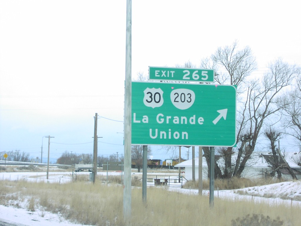
I-84 West Exit 265
I-84 west at Exit 265, US-30/OR-203/La Grande/Union
Taken 01-01-2007

 La Grande
Union County
Oregon
United States
La Grande
Union County
Oregon
United States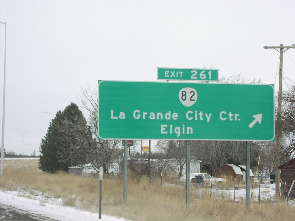
I-84 West Exit 261
I-84 west at Exit 261, OR-82/La Grande City Center/Elgin.
Taken 01-01-2007
 La Grande
Union County
Oregon
United States
La Grande
Union County
Oregon
United States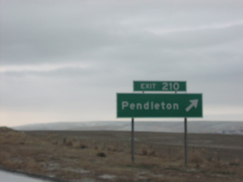
I-84 West Exit 210
I-84 west at Exit 210, Pendleton.
Taken 01-01-2007
 Pendleton
Umatilla County
Oregon
United States
Pendleton
Umatilla County
Oregon
United States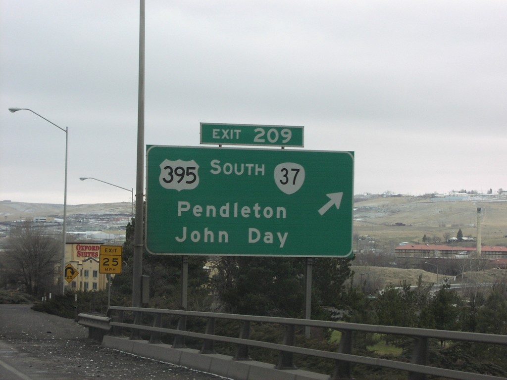
I-84 West Exit 209
I-84 west at Exit 209, US-395 South/OR-37/Pendleton/John Day.
Taken 01-01-2007

 Pendleton
Umatilla County
Oregon
United States
Pendleton
Umatilla County
Oregon
United States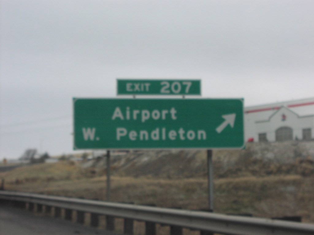
I-84 West Exit 207
I-84 west at Exit 207, Airport/West Pendleton.
Taken 01-01-2007
Pendleton
Umatilla County
Oregon
United States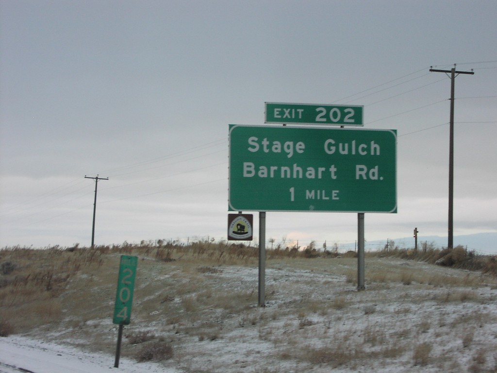
I-84 West Exit 202
I-84 west approaching Exit 202, Stage Gulch/Barnhart Road, 1 mile.
Taken 01-01-2007
Pendleton
Umatilla County
Oregon
United States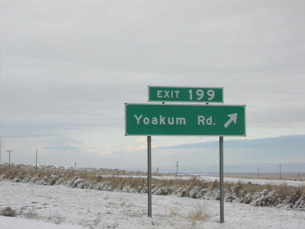
I-84 West Exit 199
I-84 west at Exit 199, Yoakum Road.
Taken 01-01-2007
Pendleton
Umatilla County
Oregon
United States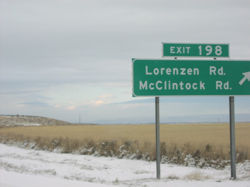
I-84 West Exit 198
I-84 west at Exit 198, Lorenzen Road/McClintock Road.
Taken 01-01-2007
Pendleton
Umatilla County
Oregon
United States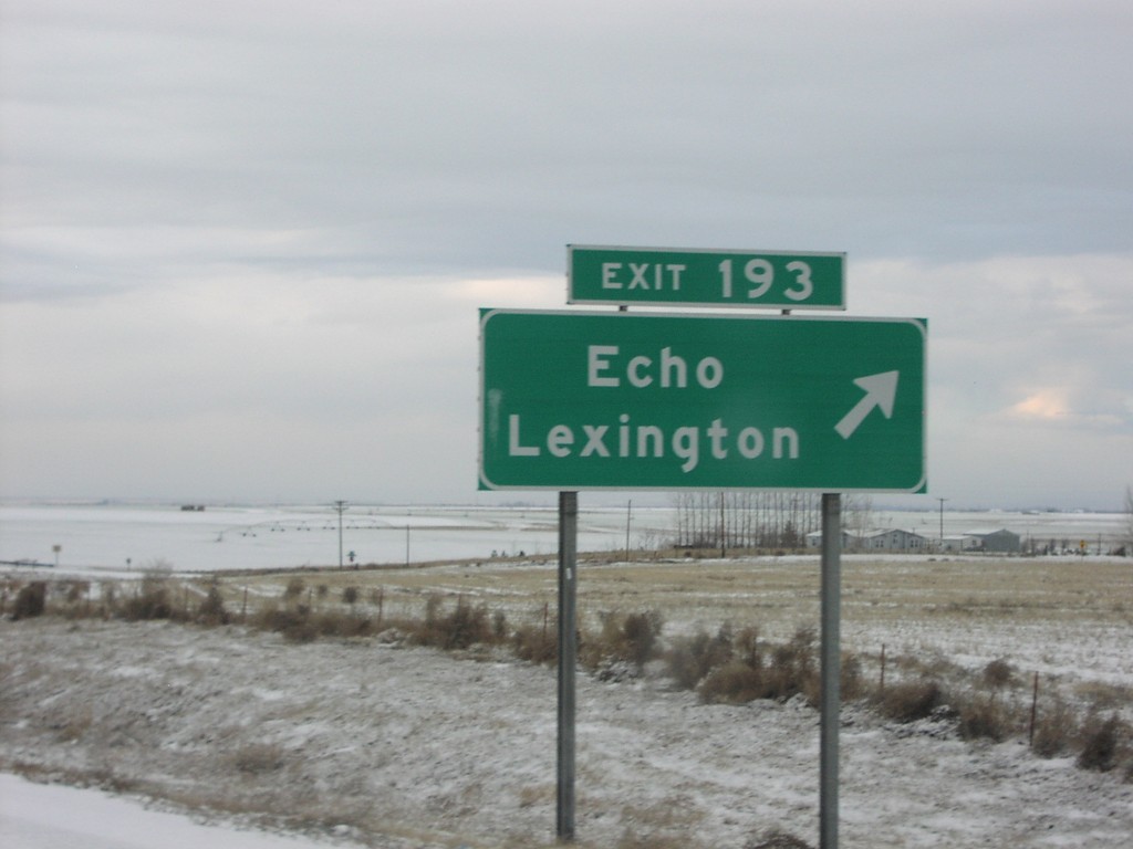
I-84 West Exit 193
I-84 west at Exit 193, Echo/Lexington
Taken 01-01-2007
Echo
Umatilla County
Oregon
United States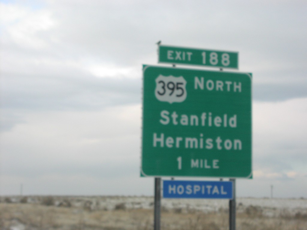
I-84 West Exit 188
I-84 west approaching Exit 188, US-395 North/Stanfield/Hermiston.
Taken 01-01-2007
Echo
Umatilla County
Oregon
United States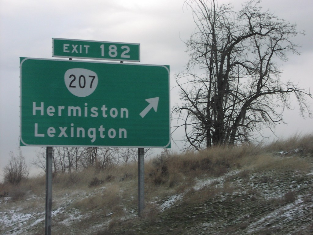
I-84 West Exit 182
I-84 west at Exit 182, OR-207/Hermiston/Lexington.
Taken 01-01-2007
 Bucks Corners
Umatilla County
Oregon
United States
Bucks Corners
Umatilla County
Oregon
United States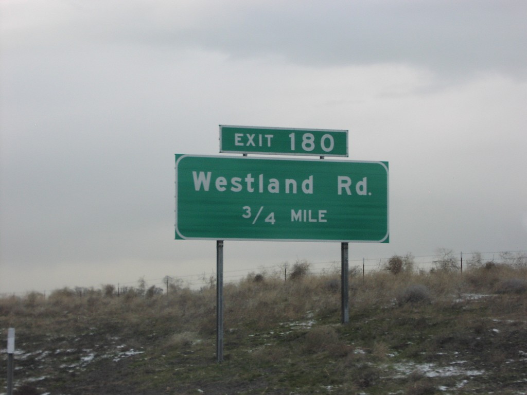
I-84 West Exit 180
I-84 west approaching Exit 180, Westland Road, 1/2 mile.
Taken 01-01-2007
Hermiston
Umatilla County
Oregon
United States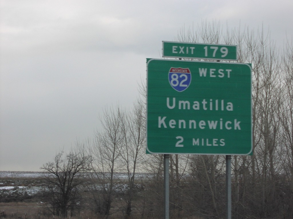
I-84 West Exit 179
I-84 west approaching Exit 179, I-82 West/Umatilla/Kennewick, 2 miles.
Taken 01-01-2007
 Hermiston
Umatilla County
Oregon
United States
Hermiston
Umatilla County
Oregon
United States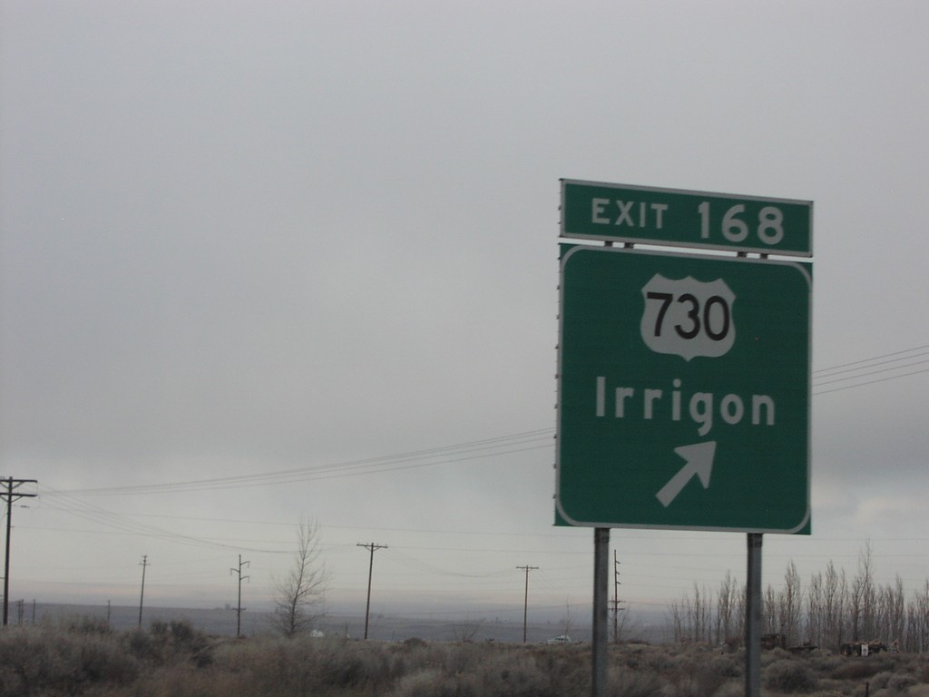
I-84 West Exit 168
I-84 west at Exit 168, US-730/Irrigon. US-730 is a short route that follows the Columbia River from here to US-12 near Wallula Gap.
Taken 01-01-2007
 Boardman
Morrow County
Oregon
United States
Boardman
Morrow County
Oregon
United States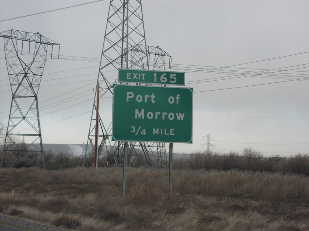
I-84 West Exit 165
I-84 west approaching Exit 165, Port of Morrow, 3/4 mile.
Taken 01-01-2007
Boardman
Morrow County
Oregon
United States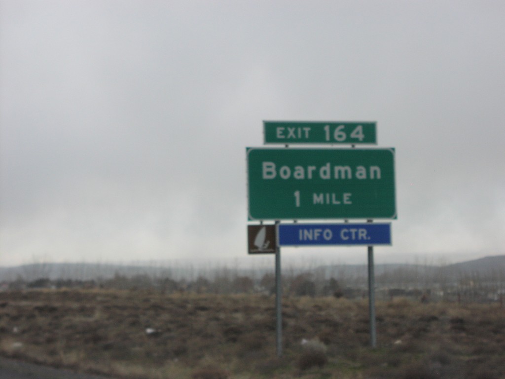
I-84 West Exit 164
I-84 west approaching Exit 164, Boardman.
Taken 01-01-2007
Boardman
Morrow County
Oregon
United States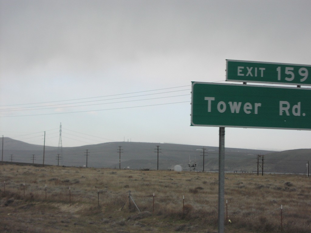
I-84 West Exit 159
I-84 west at Exit 159, Tower Road.
Taken 01-01-2007
Boardman
Morrow County
Oregon
United States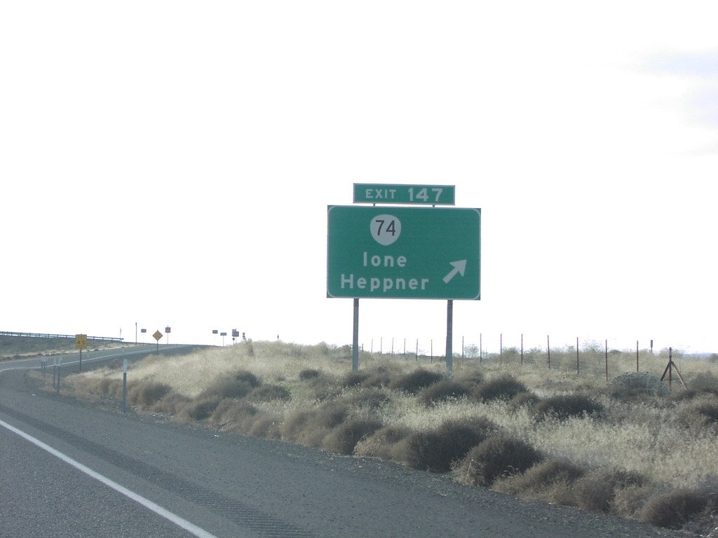
I-84 West Exit 147
I-84 west at Exit 147, OR-74/Ione/Heppner.
Taken 01-01-2007
 Ione
Gilliam County
Oregon
United States
Ione
Gilliam County
Oregon
United States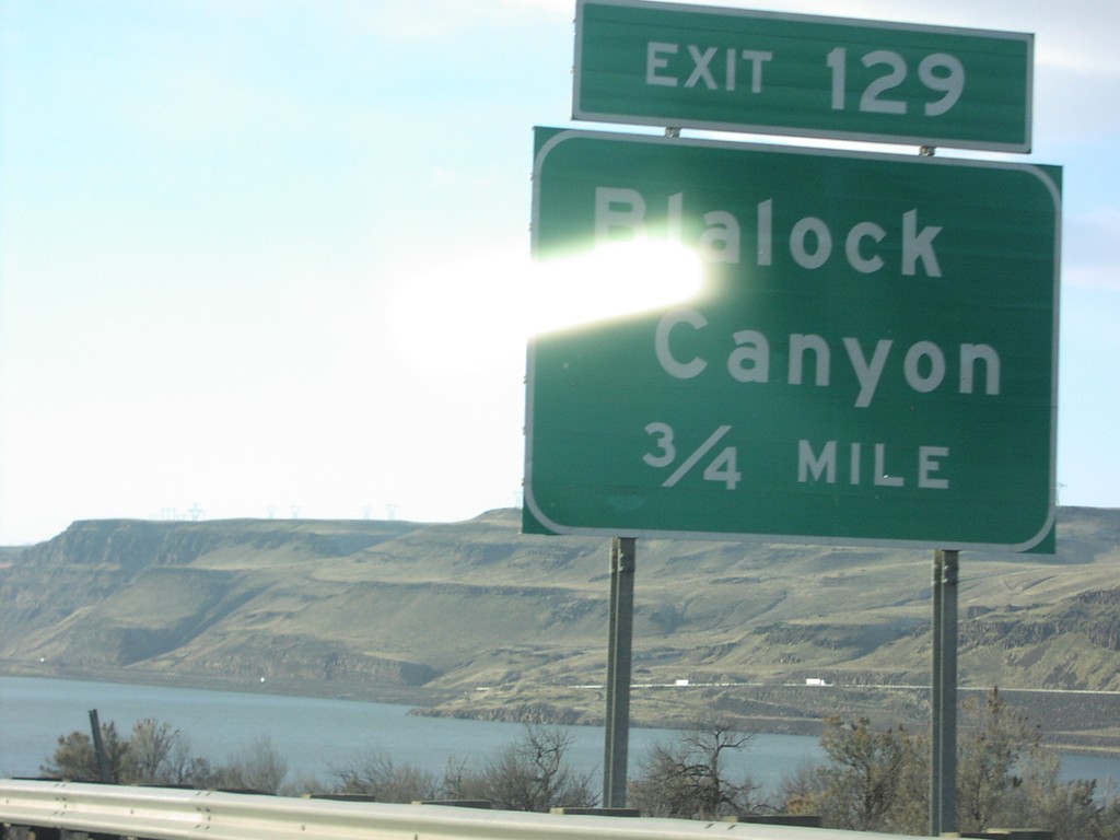
I-84 West Exit 129
I-84 west approaching Exit 129, Blalock Canyon, 3/4 mile.
Taken 01-01-2007
Arlington
Gilliam County
Oregon
United States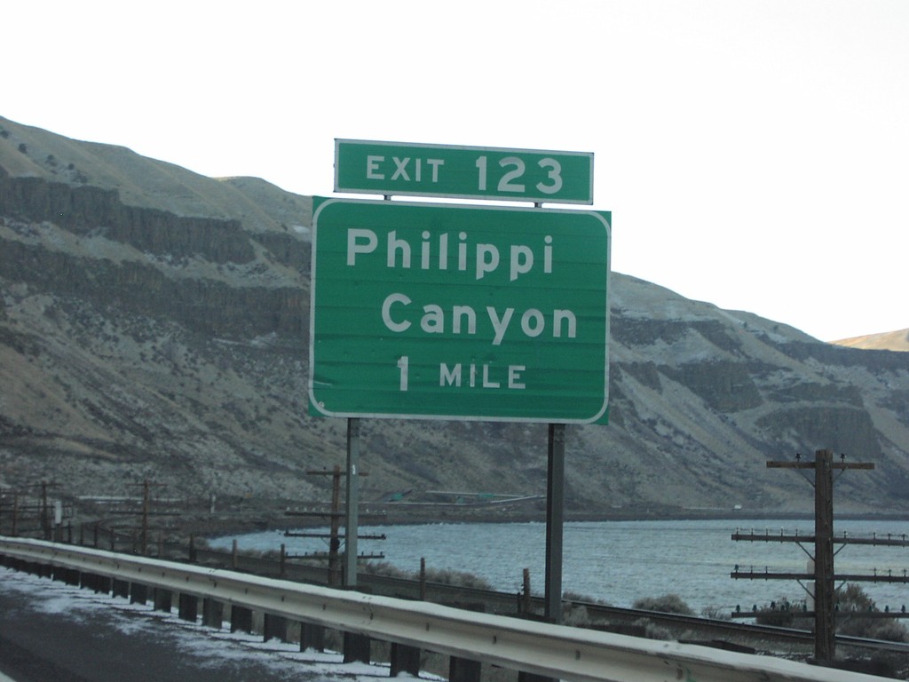
I-84 West Exit 123
I-84 west approaching Exit 123, Philippi Canyon, 1 mile.
Taken 01-01-2007
Arlington
Gilliam County
Oregon
United States