Signs Tagged With Big Green Sign
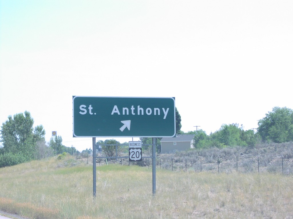
US-20 East St. Anthony Exit
US-20 east at St. Anthony exit.
Taken 07-01-2006

 Saint Anthony
Fremont County
Idaho
United States
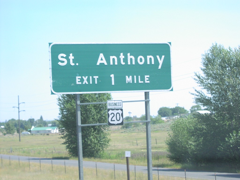
US-20 East St. Anthony Exit
US-20 east approaching US-20 Bus./St. Anthony, 1 mile.
Taken 07-01-2006

 Saint Anthony
Fremont County
Idaho
United States
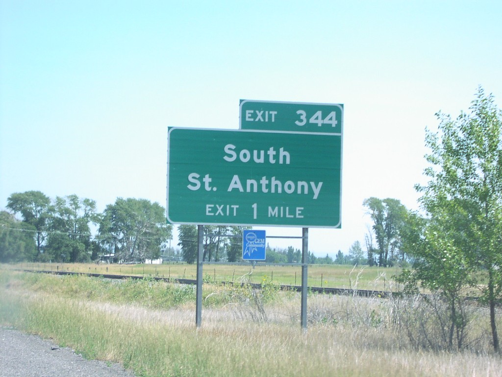
US-20 East Exit 344
US-20 east approaching Exit 344, South St. Anthony, 1 mile.
Taken 07-01-2006
 Saint Anthony
Fremont County
Idaho
United States
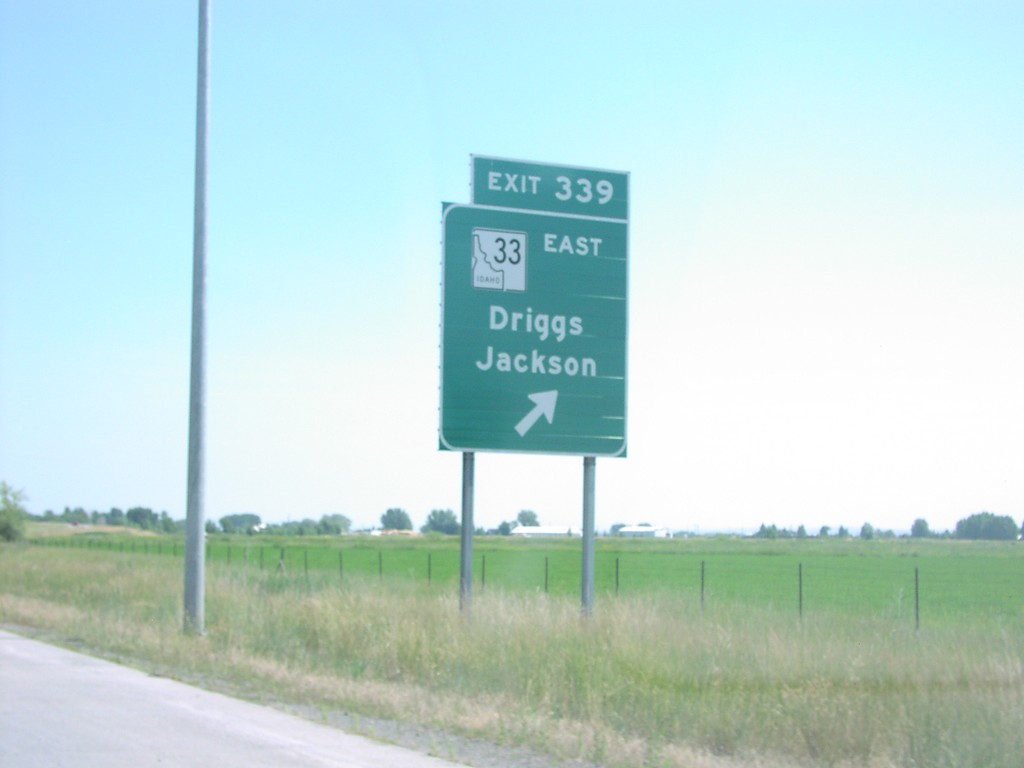
US-20 East Exit 339
US-20 east at Exit 339, ID-33 East/Jackson (WY)/Driggs.
Taken 07-01-2006

 Sugar City
Madison County
Idaho
United States
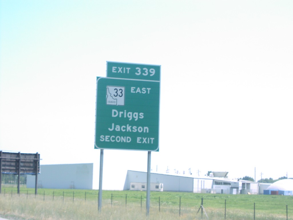
US-20 East Exit 339
US-20 east approaching Exit 339, ID-33/Jackson/Driggs, use second exit.
Taken 07-01-2006

 Sugar City
Madison County
Idaho
United States
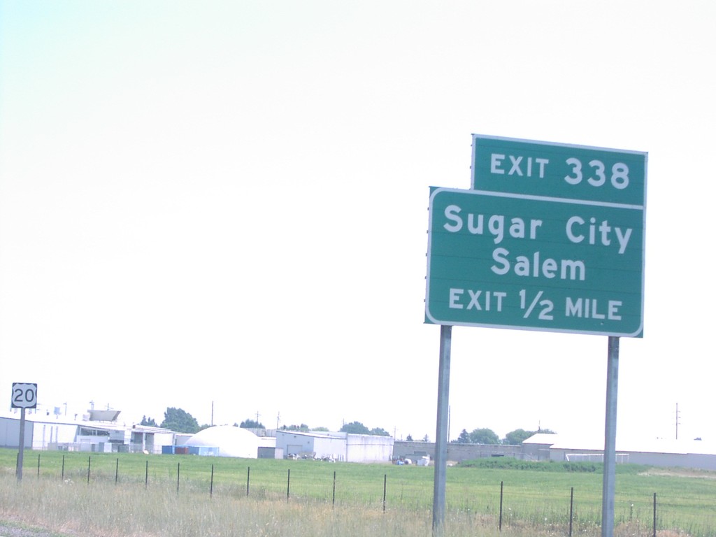
US-20 East Exit 338
US-20 east approaching Exit 338, Sugar City/Salem, 1 mile.
Taken 07-01-2006
 Sugar City
Madison County
Idaho
United States
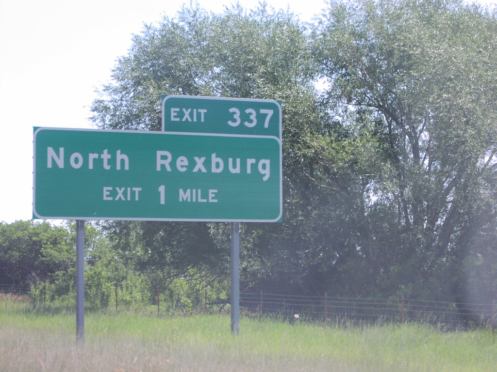
US-20 East Exit 337
US-20 east approaching Exit 337, North Rexburg, 1 mile.
Taken 07-01-2006
 Rexburg
Madison County
Idaho
United States
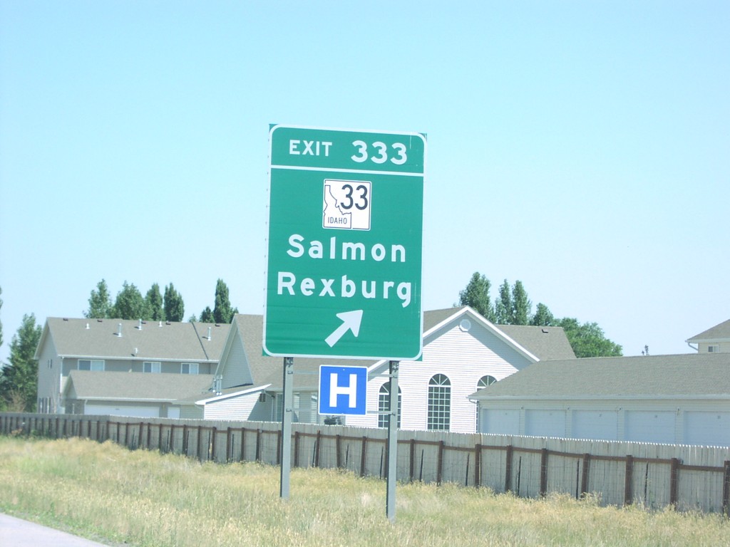
US-20 East Exit 333
US-20 east at Exit 333, ID-33/Salmon/Rexburg.
Taken 07-01-2006

 Rexburg
Madison County
Idaho
United States
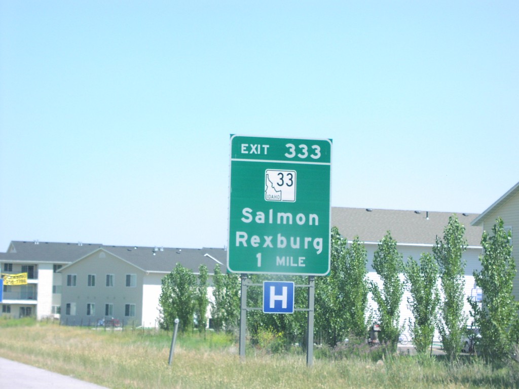
US-20 East Exit 333
US-20 east approaching Exit 333, ID-33/Salmon/Rexburg, 1 mile.
Taken 07-01-2006

 Rexburg
Madison County
Idaho
United States
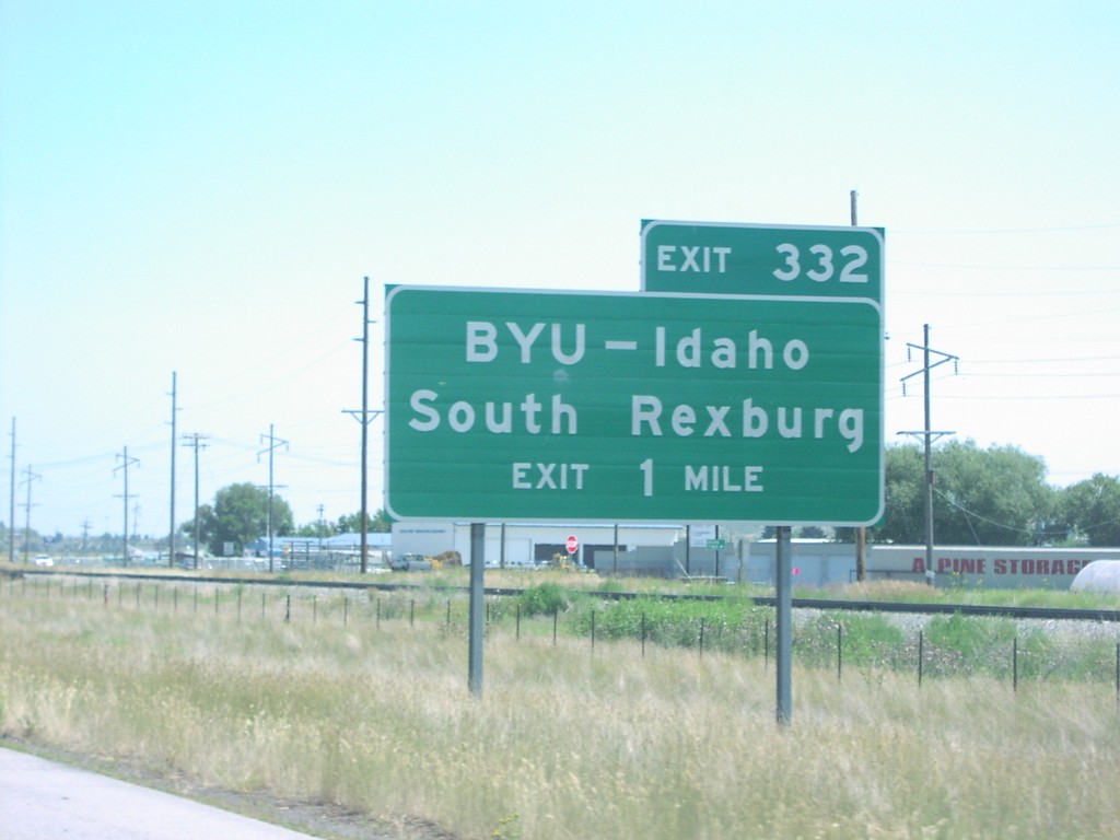
US-20 East Exit 332
US-20 approaching Exit 332, BYU-Idaho/South Rexburg, 1 mile.
Taken 07-01-2006
 Rexburg
Madison County
Idaho
United States
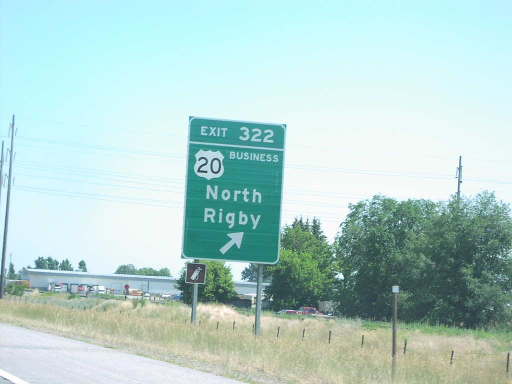
US-20 East Exit 322
US-20 east at Exit 322, Bus. US-20/North Rigby.
Taken 07-01-2006

 Rigby
Jefferson County
Idaho
United States
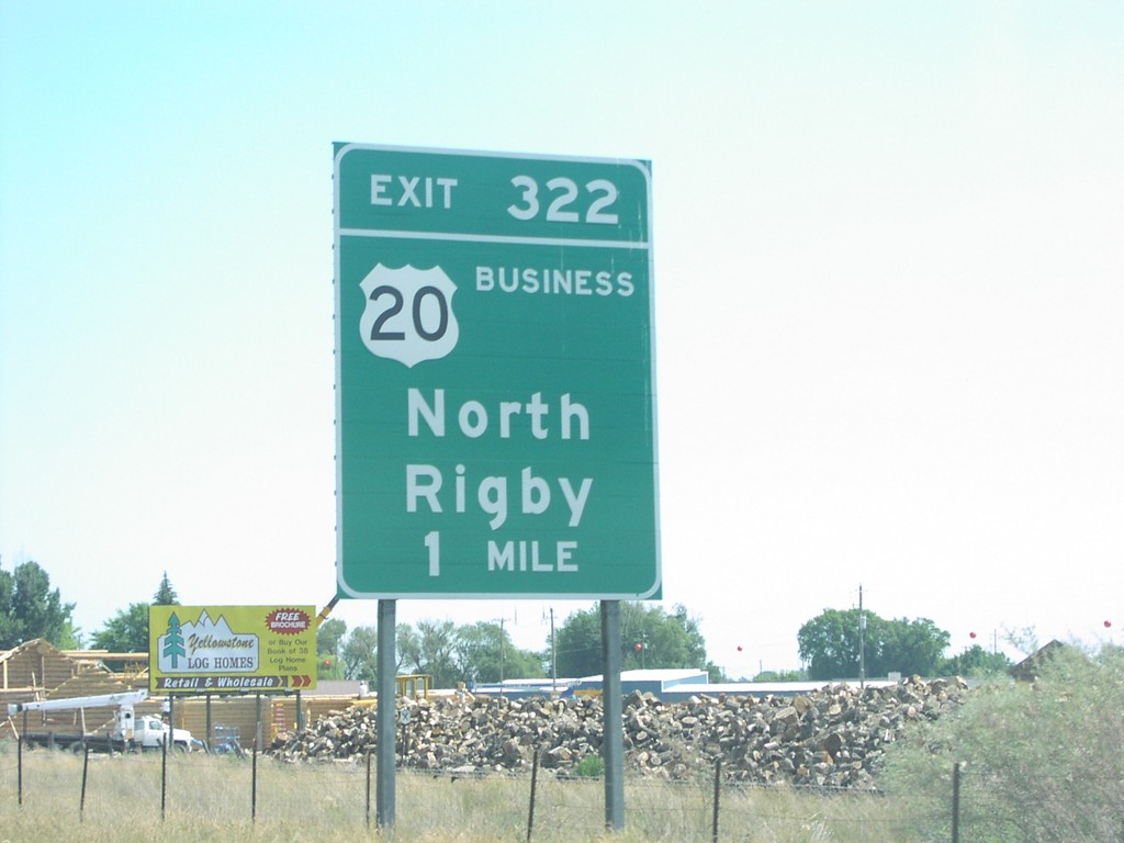
US-20 East Exit 322
US-20 east approaching Exit 322, Bus. US-20/North Rigby, 1 mile.
Taken 07-01-2006

 Rigby
Jefferson County
Idaho
United States
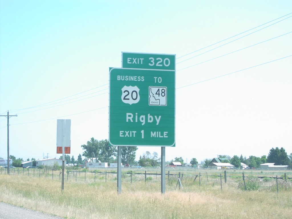
US-20 East Exit 320
US-20 east approaching Exit 320, US-20 Bus./To ID-48/Rigby, 1 mile.
Taken 07-01-2006

 Rigby
Jefferson County
Idaho
United States
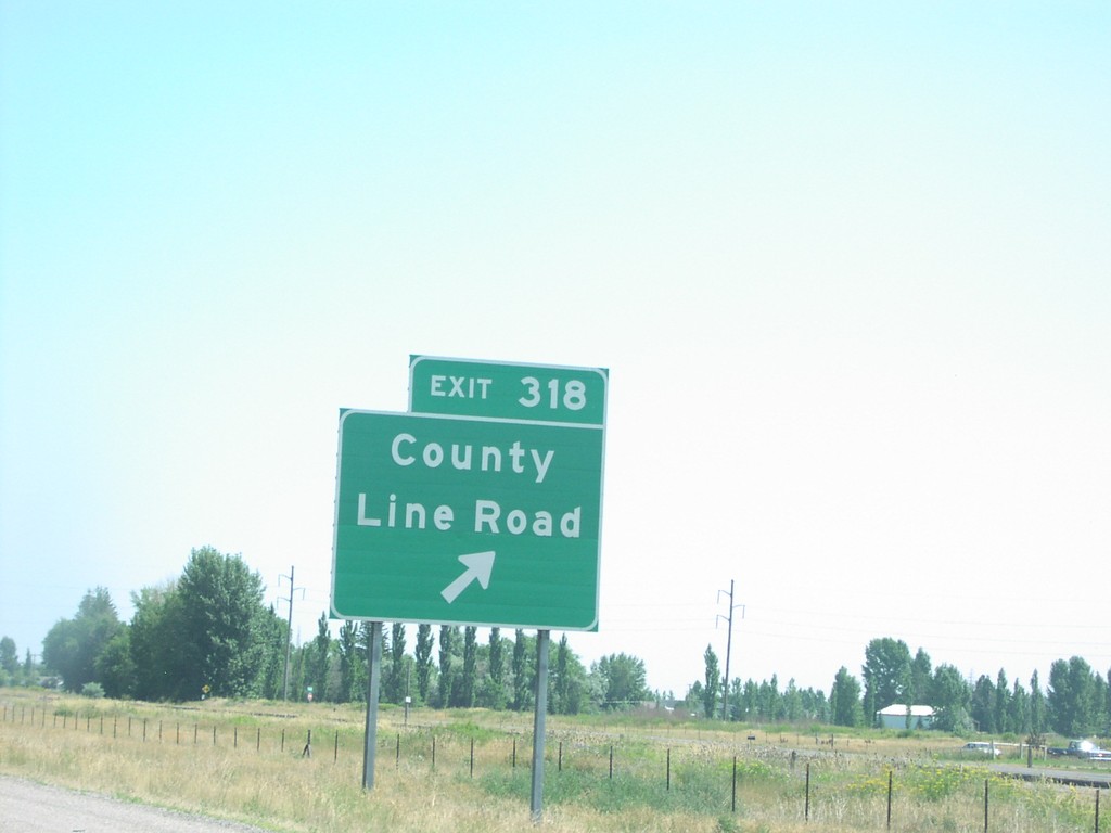
US-20 East Exit 318
US-20 east at Exit 318, County Line Road.
Taken 07-01-2006
 Idaho Falls
Bonneville County
Idaho
United States
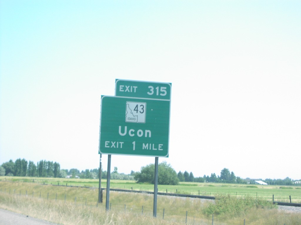
US-20 East Exit 315
US-20 east approaching Exit 315, ID-43/Ucon, 1 mile.
Taken 07-01-2006

 Idaho Falls
Bonneville County
Idaho
United States
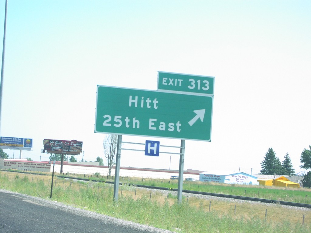
US-20 East Exit 313
US-20 east at Exit 313, Hitt/25th East.
Taken 07-01-2006
 Idaho Falls
Bonneville County
Idaho
United States
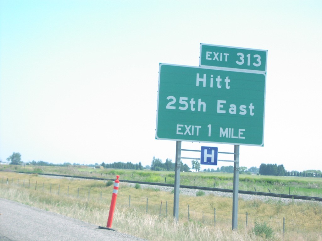
US-20 East Exit 313
US-20 east approaching Exit 313, Hitt/25th East, 1 mile.
Taken 07-01-2006
 Idaho Falls
Bonneville County
Idaho
United States
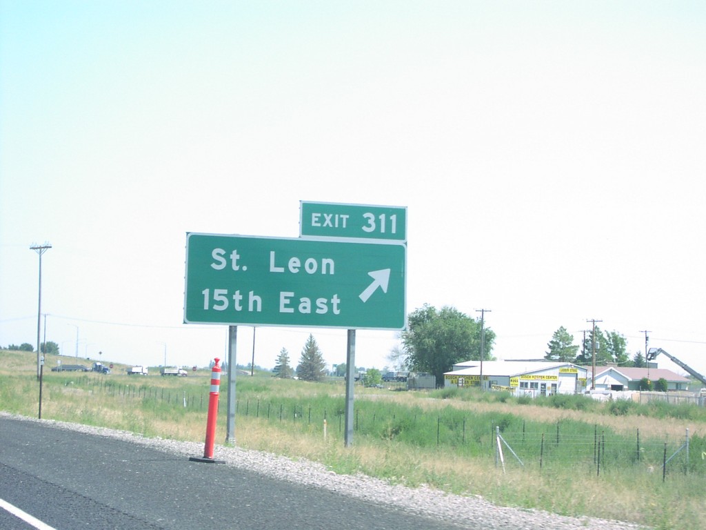
US-20 East Exit 311
US-20 east at Exit 311, St. Leon/15th East.
Taken 07-01-2006
 Idaho Falls
Bonneville County
Idaho
United States
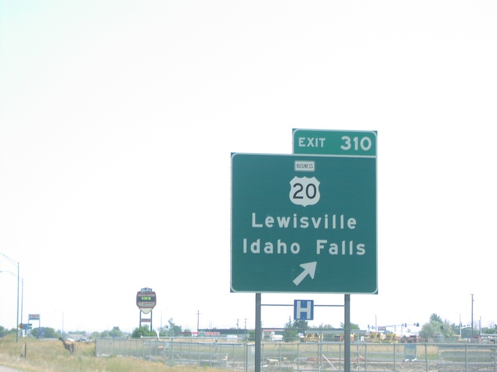
US-20 East Exit 310
US-20 east at Exit 310, US-20 Bus./Lewisville/Idaho Falls.
Taken 07-01-2006

 Idaho Falls
Bonneville County
Idaho
United States
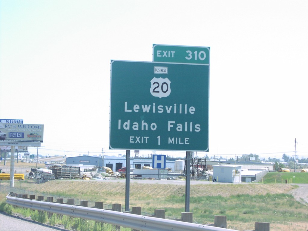
US-20 East Exit 310
US-20 east approaching Exit 310, US-20 Bus./Lewisville/Idaho Falls, exit 1 mile.
Taken 07-01-2006

 Idaho Falls
Bonneville County
Idaho
United States
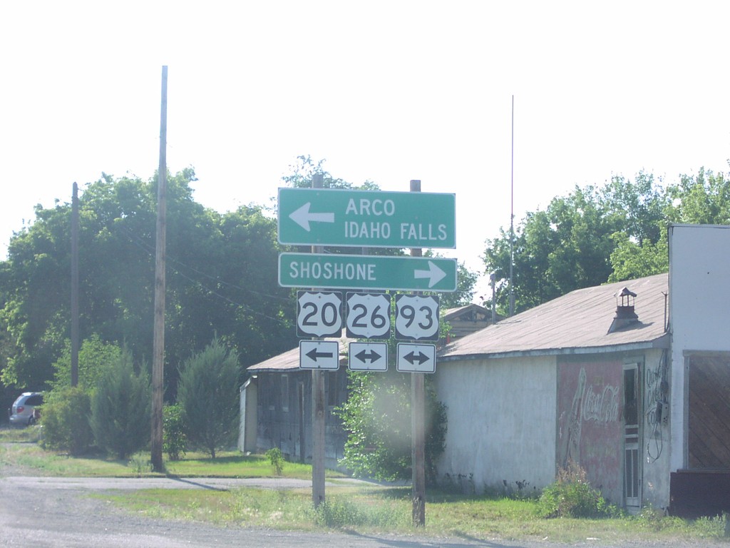
US-20 East at US-26/US-93
US-20 west at US-26/US-93 south to Shoshone, and north to Arco and Idaho Falls. US-20 joins US-26/US-93 east to Arco.
Taken 07-01-2006


 Carey
Blaine County
Idaho
United States
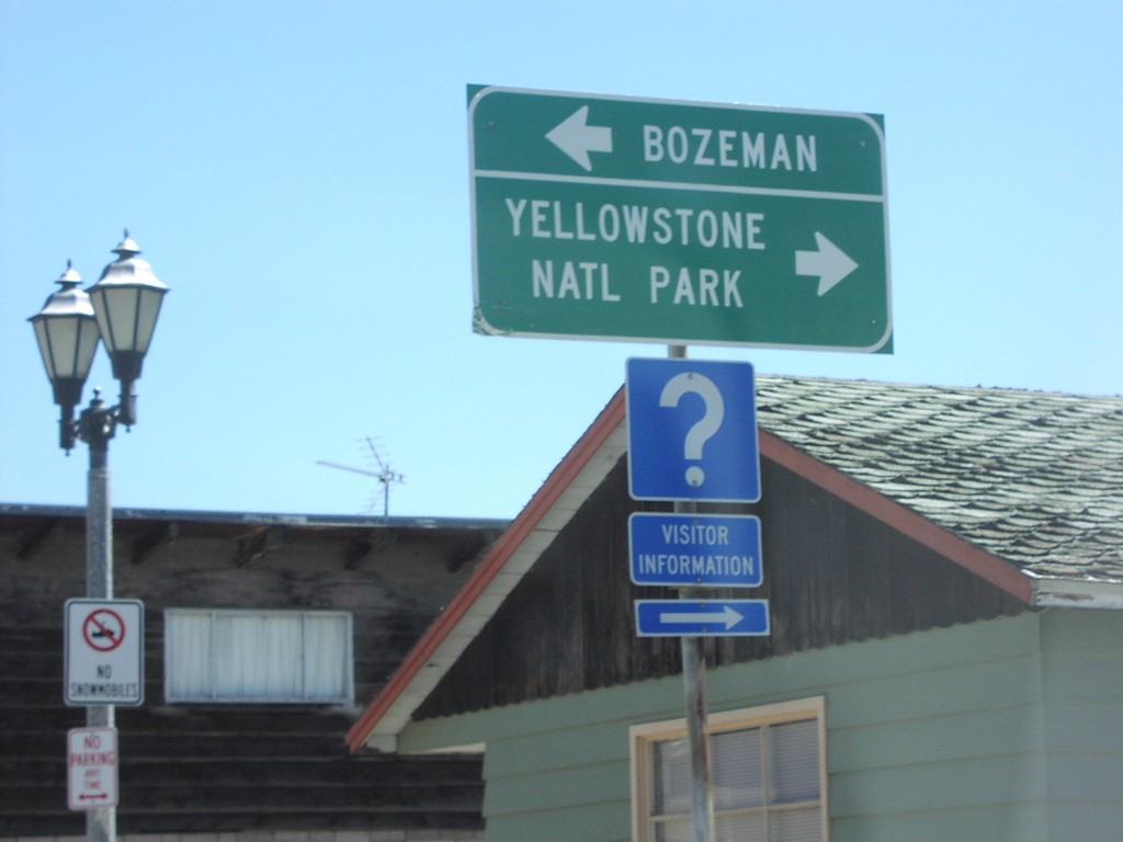
US-20 East at US-191/US-287
US-20 east at US-287/US-191 to Bozeman and Yellowstone NP. US-20 east joins US-287/US-191 into Yellowstone NP.
Taken 07-01-2006
 West Yellowstone
Gallatin County
Montana
United States
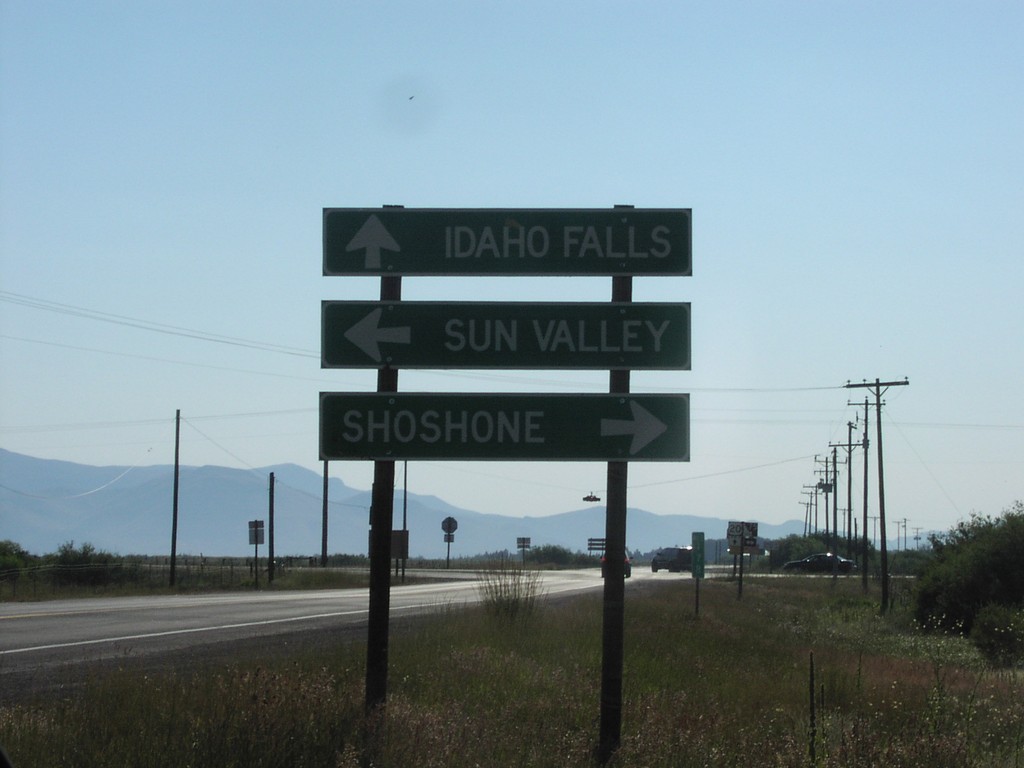
US-20 East at ID-75
US-20 east to Idaho Falls at ID-75 to Sun Valley and Shoshone.
Taken 07-01-2006

 Stanton Crossing
Blaine County
Idaho
United States
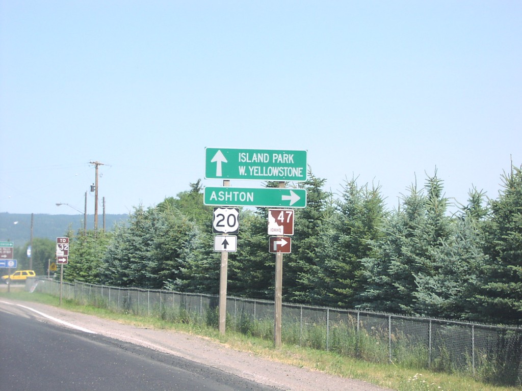
US-20 East at ID-47
US-20 east at ID-47 (Mesa Falls Scenic Byway) to Ashton.
Taken 07-01-2006

 Ashton
Fremont County
Idaho
United States
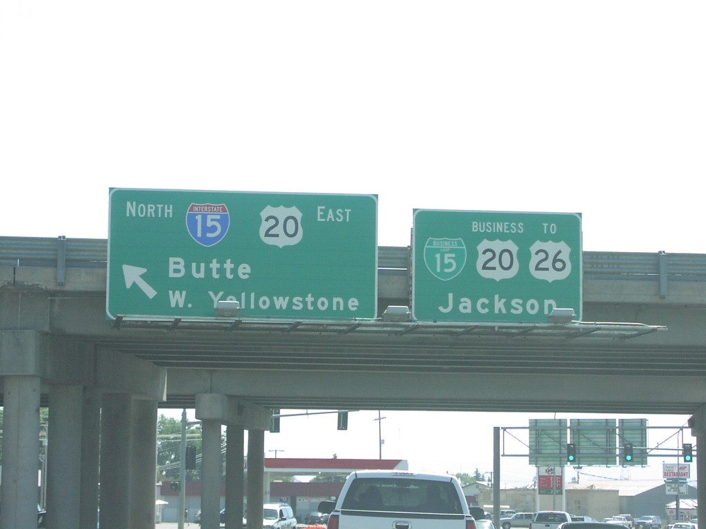
US-20 East at I-15 North, and BL-15
US-20 east at I-15 North/US-20 East to Butte,MT and W. Yellowstone, MT, and BL-15/BL-20/To US-26 to Jackson, WY.
Taken 07-01-2006


 Idaho Falls
Bonneville County
Idaho
United States