Signs Tagged With Big Green Sign
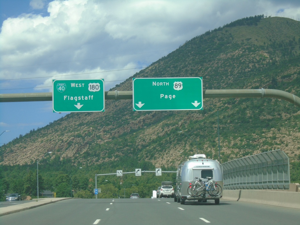
BL-40/US-180 West at US-89
BL-40/US-180 West at US-89 in Flagstaff. Use left lanes to continue west on BL-40/US-180 to Flagstaff. Use right lanes for US-89 North to Page.
Taken 09-08-2023


 Flagstaff
Coconino County
Arizona
United States
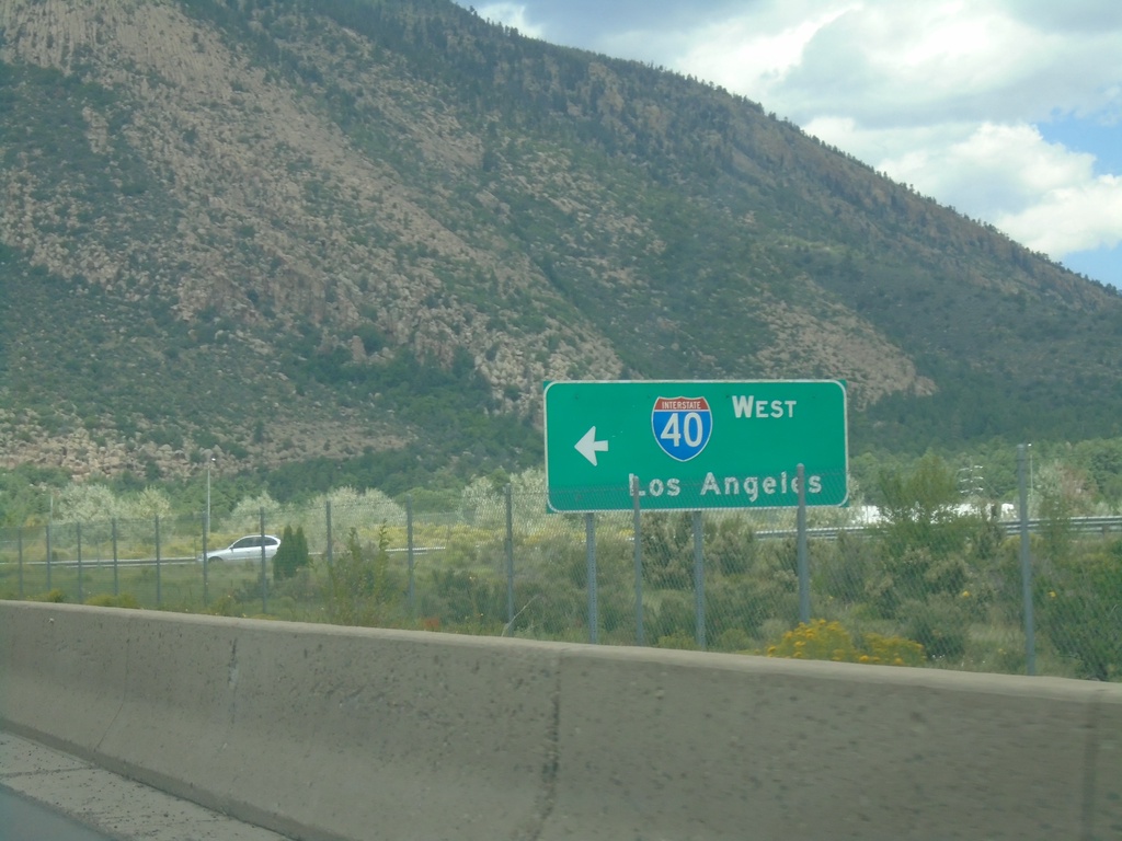
BL-40/US-180 East at I-40 West (Exit 201)
BL-40/US-180 East at I-40 West (Exit 201) in Flagstaff. Use I-40 west for Los Angeles (California).
Taken 09-08-2023


 Flagstaff
Coconino County
Arizona
United States
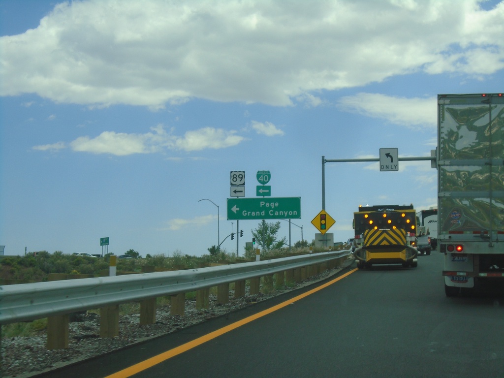
I-40 East - Exit 201 Offramp
I-40 East - Exit 201 offramp at BL-40/(To)US-89 to Page and Grand Canyon.
Taken 09-08-2023


 Flagstaff
Coconino County
Arizona
United States
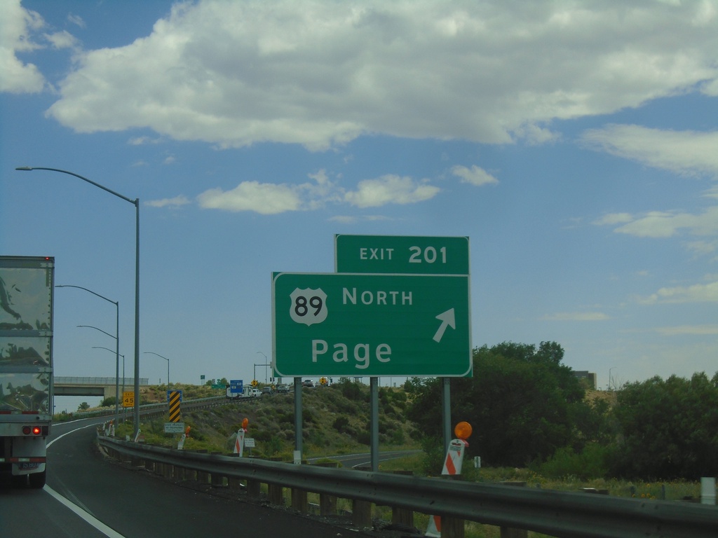
I-40 East - Exit 201
I-40 east at Exit 201 - US-89 North/Page. This is the southern end of US-89, and the eastern end of the Flagstaff business loop.
Taken 09-08-2023


 Flagstaff
Coconino County
Arizona
United States
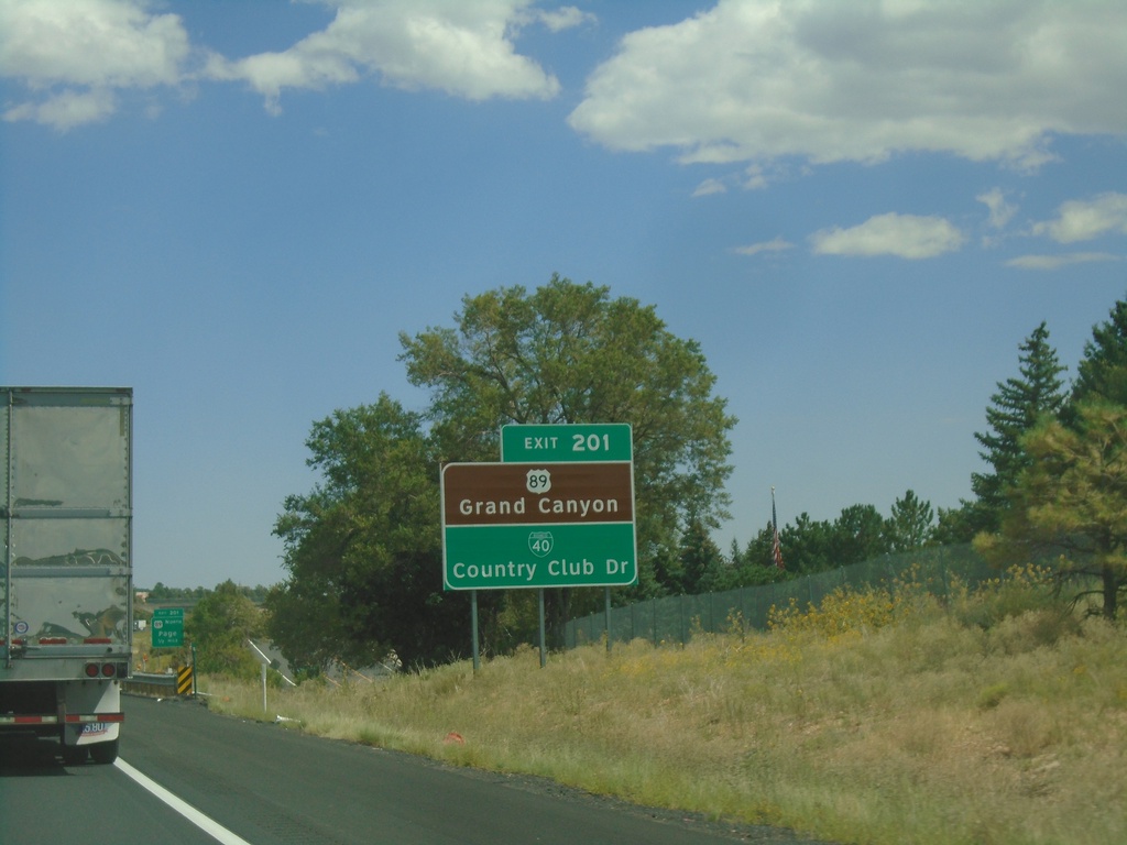
I-40 East - Exit 201
I-40 east approaching Exit 201. Use Exit 201 for US-89 North to Grand Canyon and BL-40/Country Club Drive.
Taken 09-08-2023


 Flagstaff
Coconino County
Arizona
United States
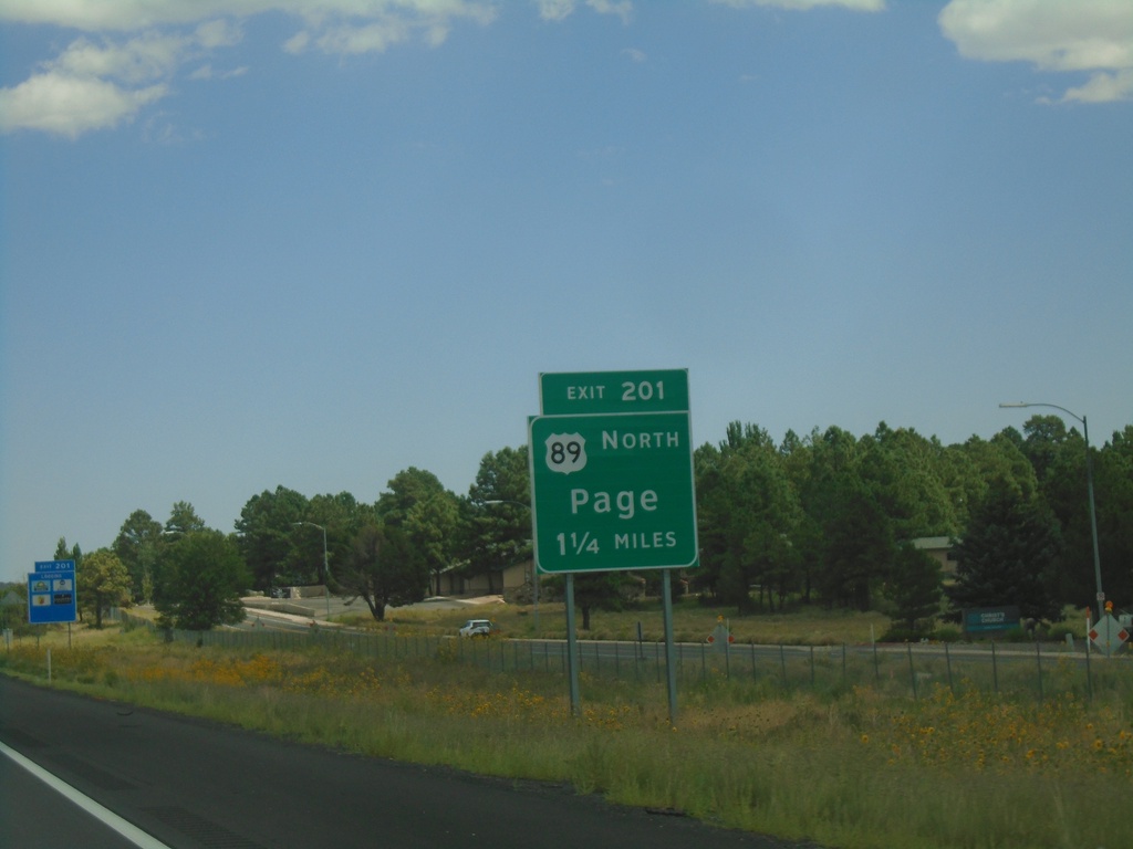
I-40 East - Exit 201
I-40 east approaching Exit 201 - US-89 North/Page. This is the eastern end of the Flagstaff business loop.
Taken 09-08-2023


 Flagstaff
Coconino County
Arizona
United States
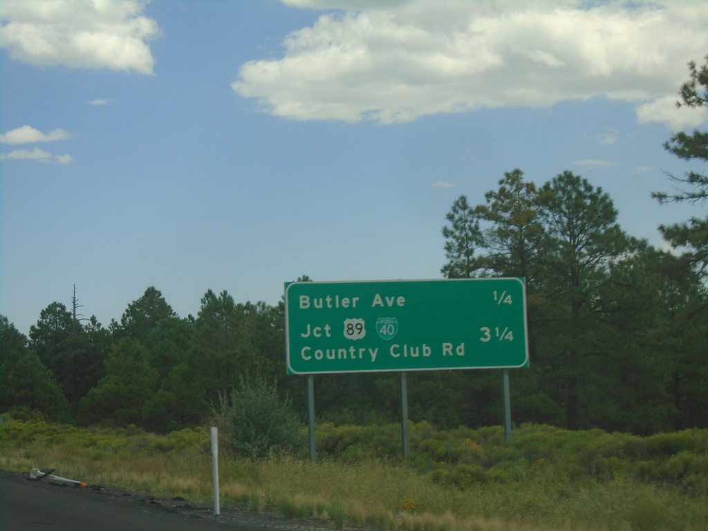
I-40 East - Flagstaff Exits
Next exits on I-40 east. Approaching Butler Ave. and BL-40/US-89/Country Club Road.
Taken 09-08-2023


 Flagstaff
Coconino County
Arizona
United States
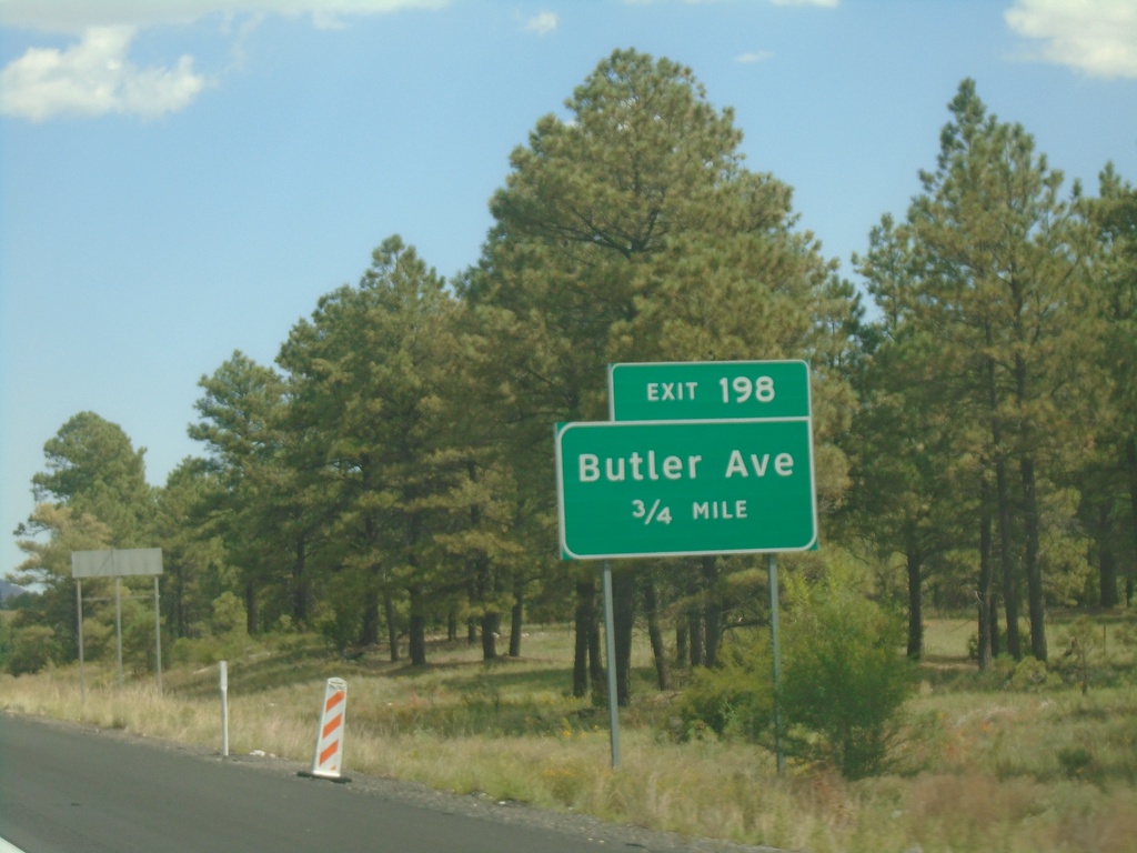
I-40 East - Exit 198
I-40 east approaching Exit 198 - Butler Ave.
Taken 09-08-2023
 Flagstaff
Coconino County
Arizona
United States
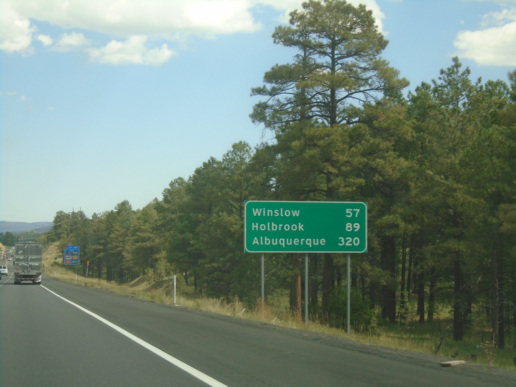
I-40 East - Distance Marker
Distance marker on I-40 east. Distance to Winslow, Holbrook, and Albuquerque (New Mexico).
Taken 09-08-2023
 Flagstaff
Coconino County
Arizona
United States
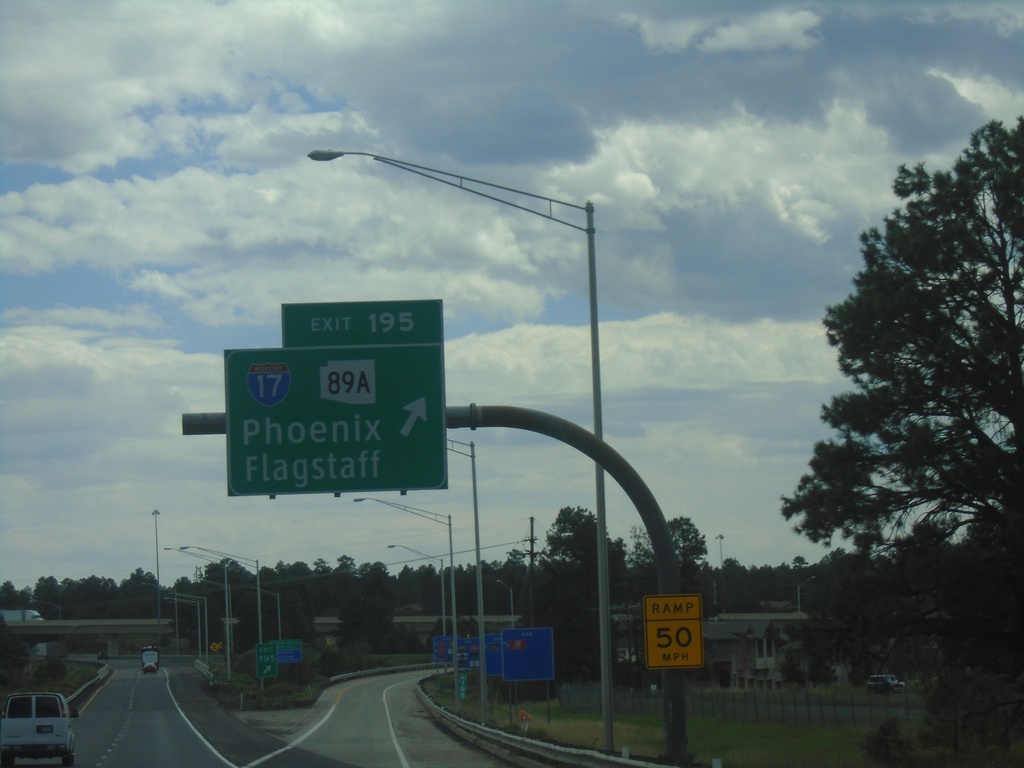
I-40 East - Exit 195
I-40 east at Exit 195 - I-17/AZ-89A/Flagstaff/Phoenix.
Taken 09-08-2023


 Flagstaff
Coconino County
Arizona
United States
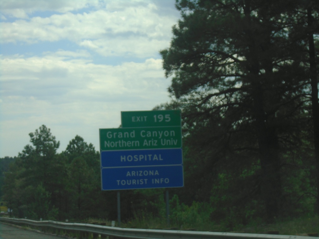
I-40 East - Exit 195
I-40 east approaching Exit 195. Use Exit 195 - I-17/AZ-89A North for Northern Arizona University and Grand Canyon.
Taken 09-08-2023


 Flagstaff
Coconino County
Arizona
United States
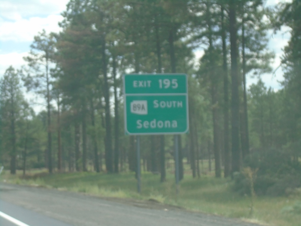
I-40 East - Exit 195
I-40 east approaching Exit 195. Use Exit 195 for AZ-89A south to Sedona.
Taken 09-08-2023


 Flagstaff
Coconino County
Arizona
United States
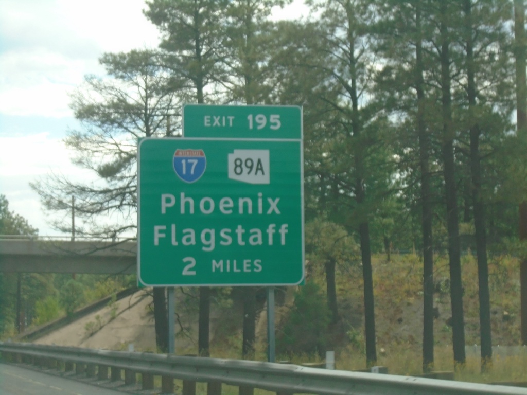
I-40 East - Exit 195
I-40 east approaching Exit 195 - I-17/AZ-89A/Flagstaff/Phoenix.
Taken 09-08-2023


 Flagstaff
Coconino County
Arizona
United States
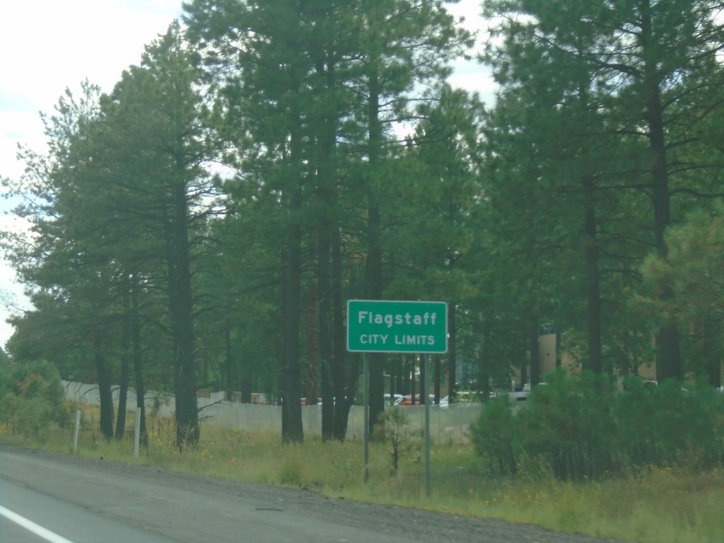
I-40 East - Flagstaff
Entering Flagstaff on I-40 east. Flagstaff is the county seat of Coconino County.
Taken 09-08-2023
 Flagstaff
Coconino County
Arizona
United States
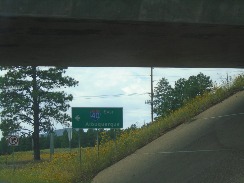
Flagstaff Ranch Road at I-40 East
Flagstaff Ranch Road at I-40 East (Exit 192) onramp. Use I-40 east to Albuquerque (New Mexico).
Taken 09-08-2023
 Flagstaff
Coconino County
Arizona
United States
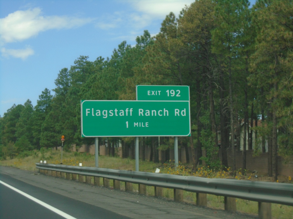
I-40 West - Exit 192
I-40 west approaching Exit 192 - Flagstaff Ranch Road.
Taken 09-08-2023
 Flagstaff
Coconino County
Arizona
United States
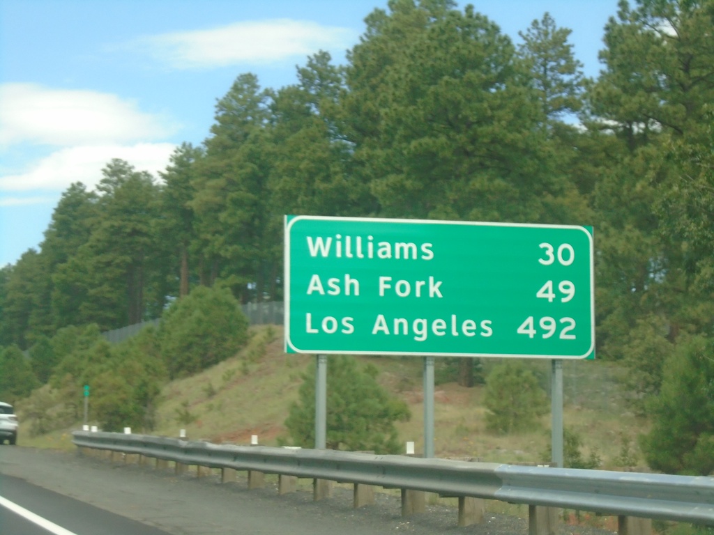
I-40 West - Distance Marker
Distance marker on I-40 west. Distance to Williams, Ash Fork, and Los Angeles (California).
Taken 09-08-2023
 Flagstaff
Coconino County
Arizona
United States
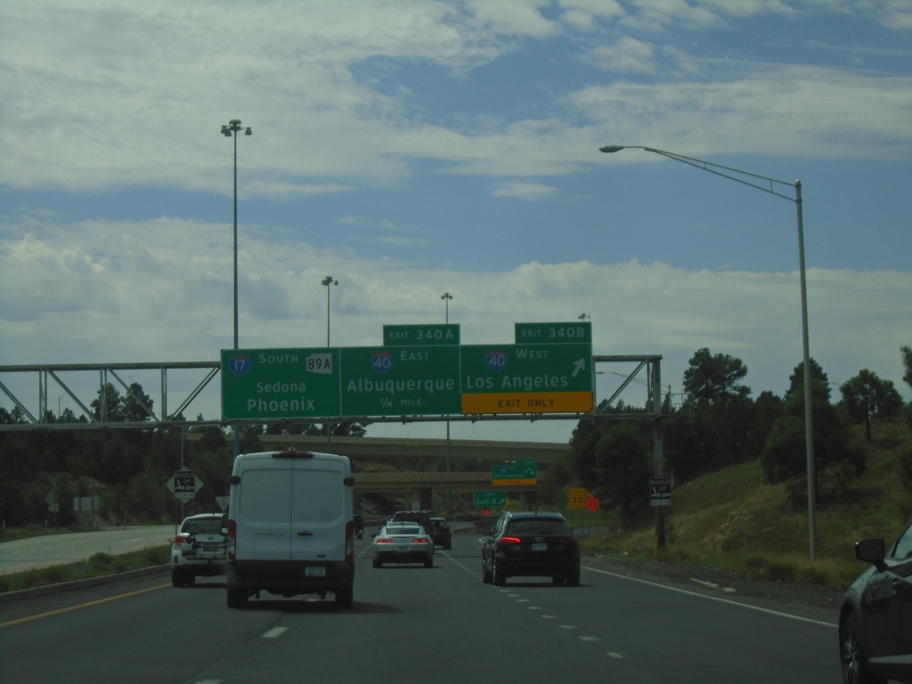
Begin I-17 Southbound - Exit 340A-B
Beginning of I-17 southbound at Exit 340B - I-40 West/Los Angeles (California); Exit 340A - I-40 East/Albuquerque (New Mexico). Continue south on I-17/AZ-89A for Sedona and Phoenix.
Taken 09-08-2023


 Flagstaff
Coconino County
Arizona
United States
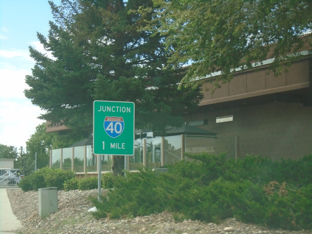
AZ-89A South Approaching I-40
AZ-89A South approaching I-40 in Flagstaff.
Taken 09-08-2023

 Flagstaff
Coconino County
Arizona
United States
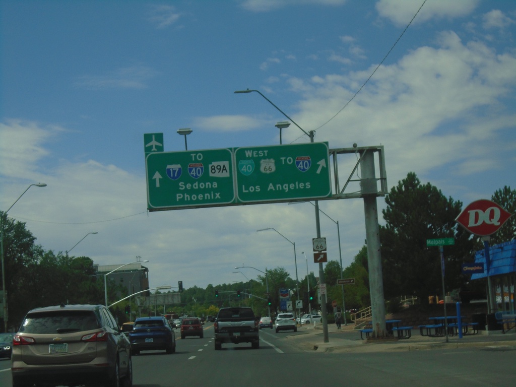
BL-40 West at AZ-89A - Flagstaff
BL-40 West (Milton Road) at AZ-89A. Turn right to continue west on BL-40 to I-40 West/Historic US-66/Los Angeles (California). Continue straight for AZ-89A south to I-17/I-40/Sedona/Phoenix.
Taken 09-08-2023


 Flagstaff
Coconino County
Arizona
United States
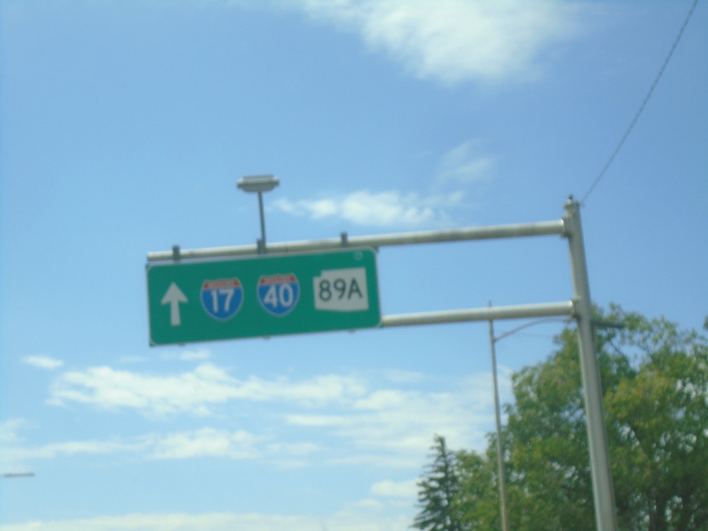
BL-40 West - To I-40/To I-17/To AZ-89A
BL-40 West - To I-40/To I-17/To AZ-89A in Flagstaff.
Taken 09-08-2023


 Flagstaff
Coconino County
Arizona
United States
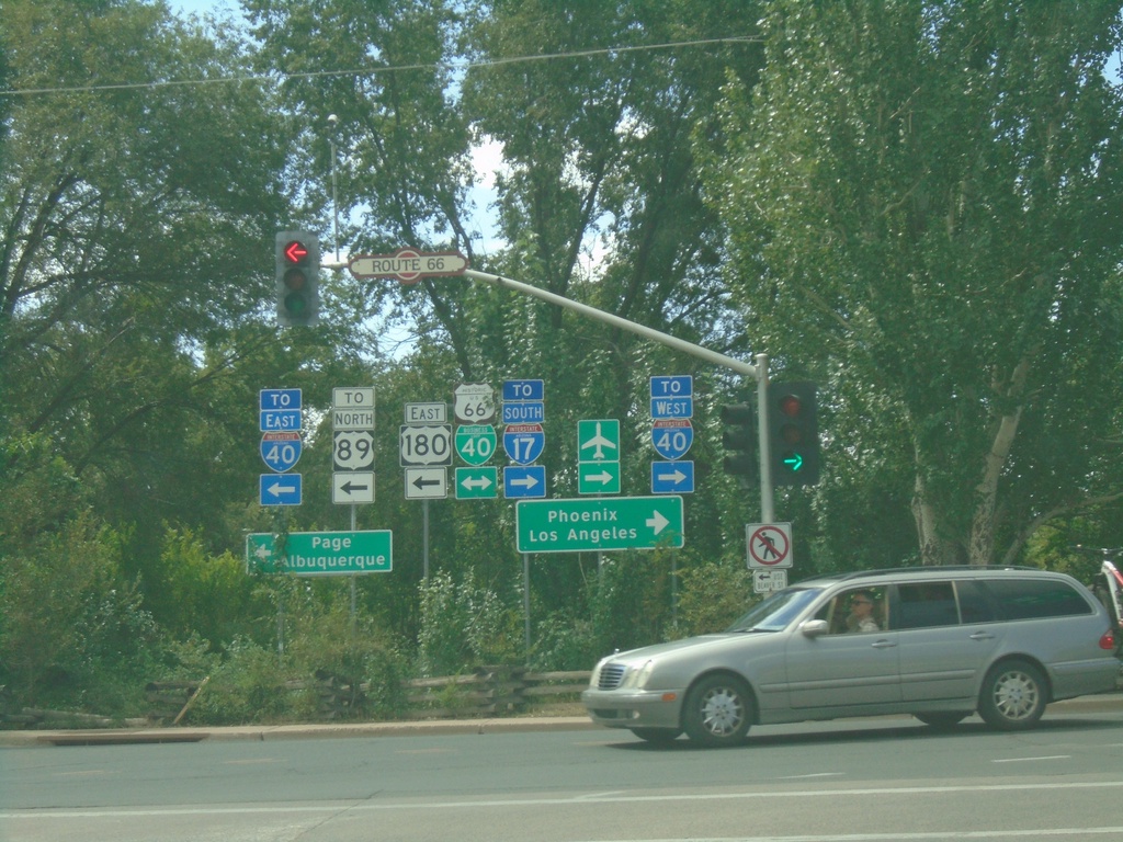
US-180 East at BL-40 in Flagstaff
US-180 East at BL-40 in Flagstaff. Turn left for US-180 East/BL-40 East/To I-40 East/To US-89/Page/Albuquerque (New Mexico). Turn right for BL-40 West/To I-40 West/To I-17/Phoenix/Los Angeles (California).
Taken 09-08-2023


 Flagstaff
Coconino County
Arizona
United States
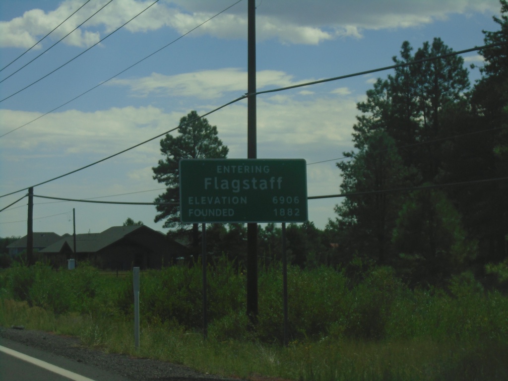
US-180 East - Flagstaff
Entering Flagstaff on US-180 east. Elevation 6906 Feet; Founded 1882. Flagstaff is the county seat of Coconino County.
Taken 09-08-2023
 Flagstaff
Coconino County
Arizona
United States
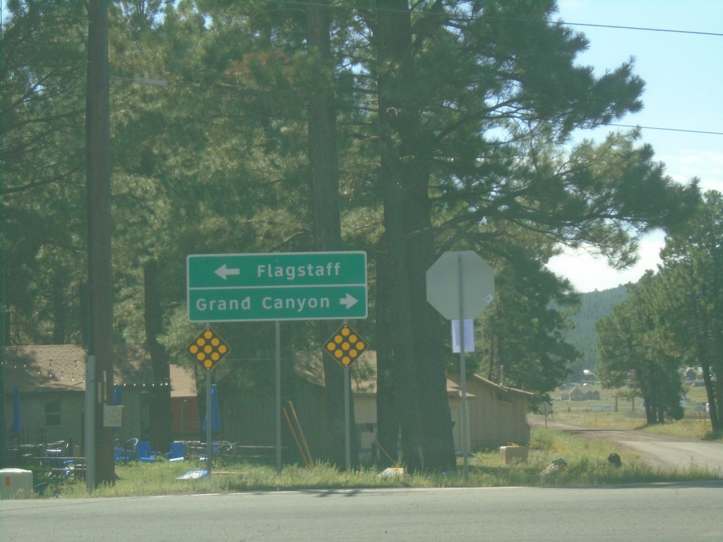
Arizona Snowbowl Road at US-180
Arizona Snowbowl Road at US-180 in Coconino County. Use US-180 west to Grand Canyon; US-180 east to Flagstaff.
Taken 09-08-2023
 Flagstaff
Coconino County
Arizona
United States
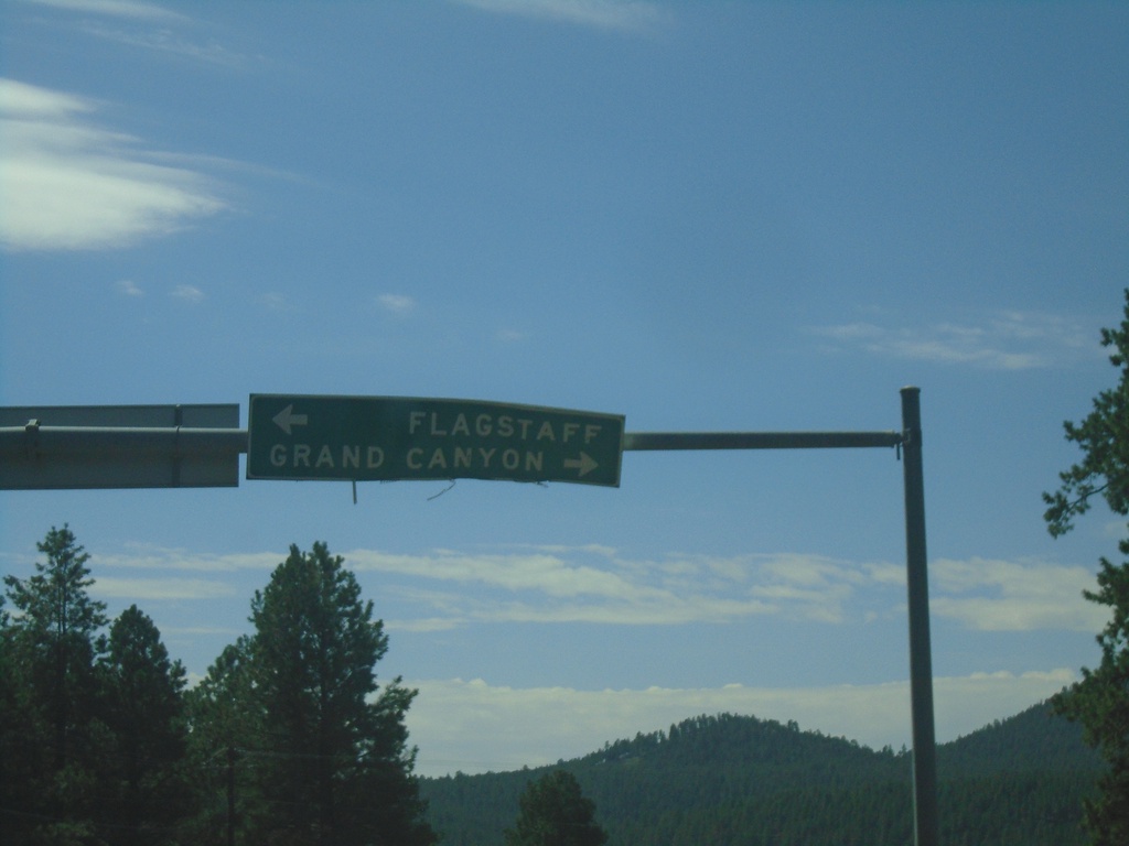
Arizona Snow Bowl Road at US-180
Arizona Snowbowl Road at US-180. Use US-180 west to Grand Canyon; US-180 east to Flagstaff.
Taken 09-08-2023
 Flagstaff
Coconino County
Arizona
United States