Signs Tagged With Big Green Sign
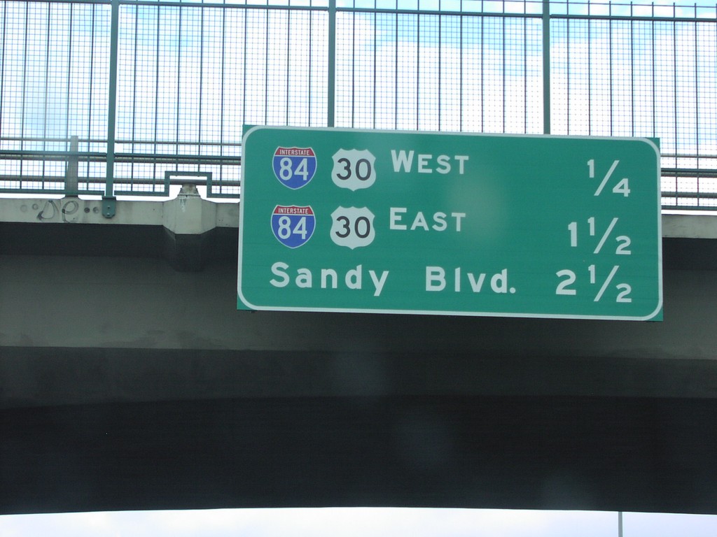
Distance Marker on I-205 North
Next 3 exits on I-205 north: I-84 West, I-84 East, and Sandy Blvd.
Taken 06-01-2006
 Portland
Multnomah County
Oregon
United States
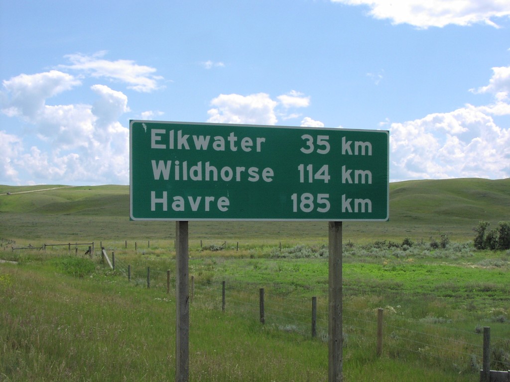
Distance Marker on AB-41 South
Distance marker on AB-41, just south of TC-1, to Elkwater, Wildhorse, and Havre.
Taken 06-01-2006
 Irvine
Cypress County
Alberta
Canada
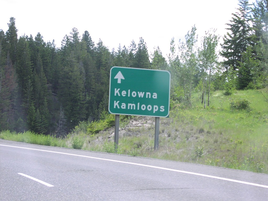
BC-5 North Nearing Exit 276
BC-5, just north of Comstock Road interchange, with reasurrance sign for Kelowna and Kamloops.
Taken 06-01-2006
 Merritt
Thompson-Nicola
British Columbia
Canada
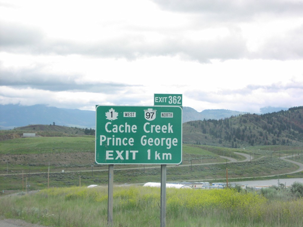
BC-5 North Exit 362
BC-5 north approaching Exit 362, TC-1/BC-97/Cache Creek/Prince George, 1 km.
Taken 06-01-2006


 Kamloops
Thompson-Nicola
British Columbia
Canada
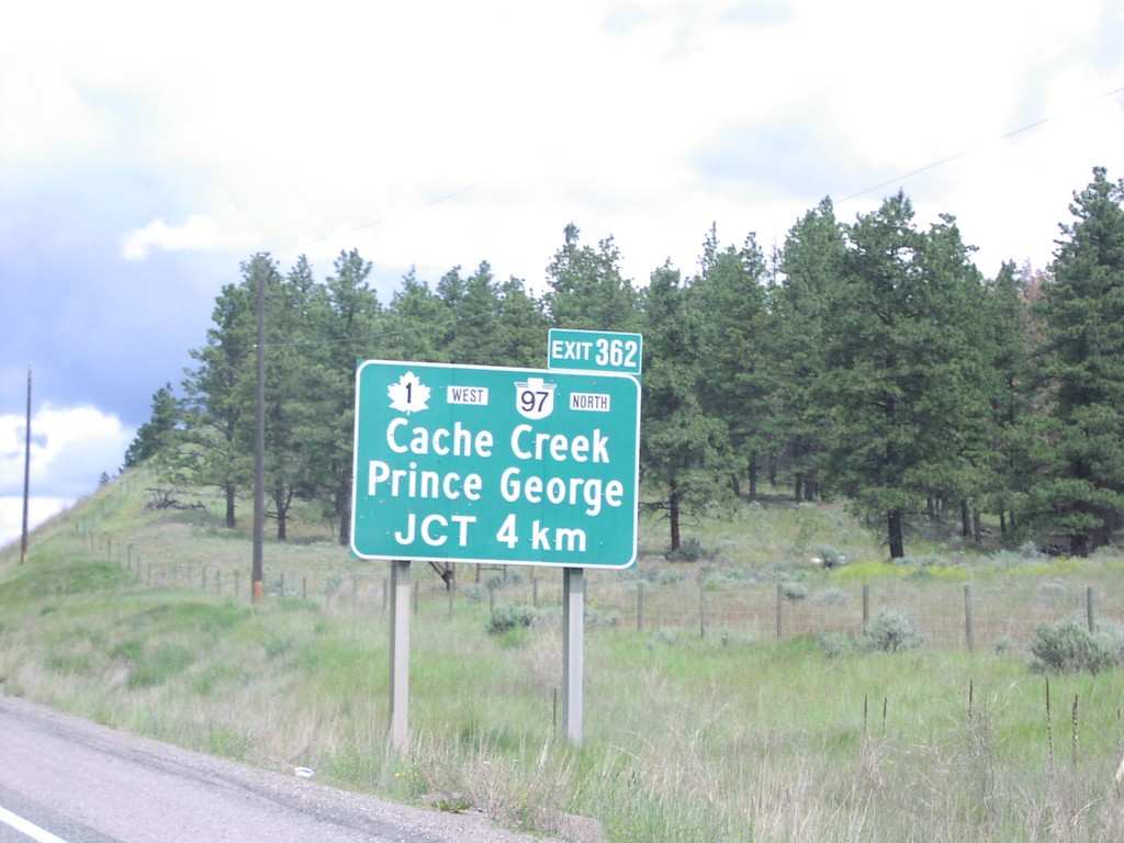
BC-5 North Exit 362
BC-5 north approaching Exit 362, TC-1/BC-97/Prince George/Cache Creek, 4 km.
Taken 06-01-2006


 Kamloops
Thompson-Nicola
British Columbia
Canada
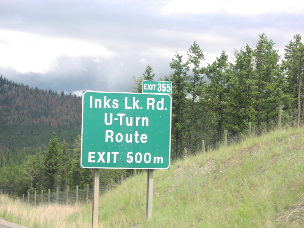
BC-5 North Exit 355
BC-5 north approaching Exit 355, Inks Lake Road/U Turn Route, 500 metres.
Taken 06-01-2006
 Kamloops
Thompson-Nicola
British Columbia
Canada
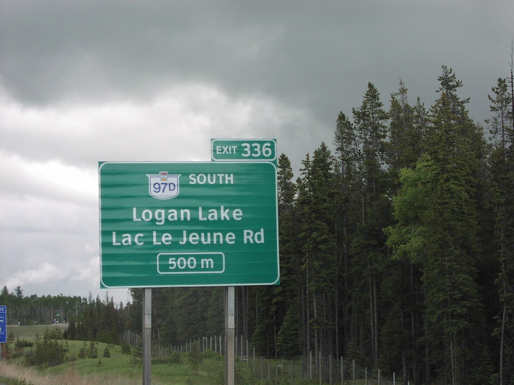
BC-5 North Exit 336
BC-5 north approaching Exit 336, BC-97D South/Lac Le Jeune Road/Logan Lake, 500 metres.
Taken 06-01-2006

 Lac Le Jeune
Thompson-Nicola
British Columbia
Canada
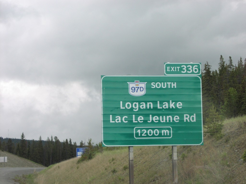
BC-5 North Exit 336
BC-5 north approaching Exit 336, BC-97D South/Lac Le Jeune Road/Logan Lake, 1200 metres.
Taken 06-01-2006

 Lac Le Jeune
Thompson-Nicola
British Columbia
Canada
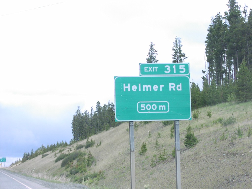
BC-5 North Exit 315
BC-5 north approaching Exit 315, Helmer Road, 500 metres.
Taken 06-01-2006
 Quilchena
Thompson-Nicola
British Columbia
Canada
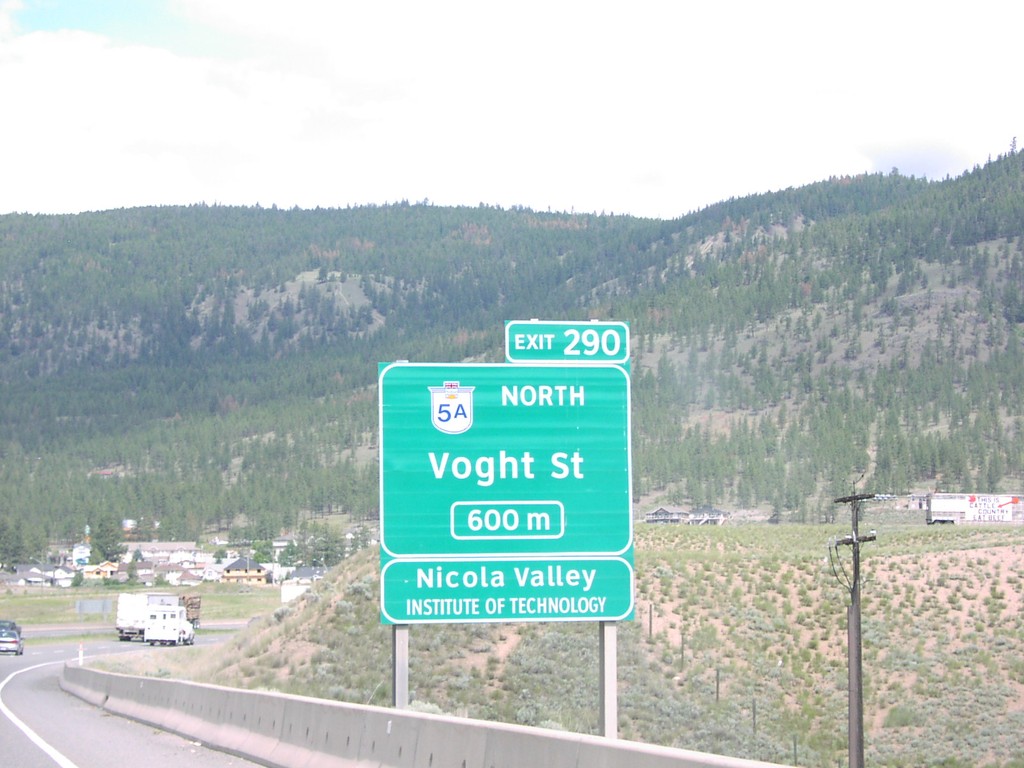
BC-5 North Exit 290
BC-5 north approaching Exit 290, BC-5A North/Voght Street, 600 metres.
Taken 06-01-2006

 Merritt
Thompson-Nicola
British Columbia
Canada
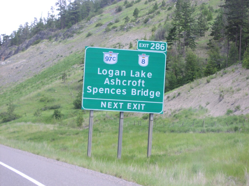
BC-5 North Exit 286
BC-5 north approaching Exit 286, BC-97C/BC-8/Logan Lake/Ashcroft/Spences Bridge, next exit.
Taken 06-01-2006


 Merritt
Thompson-Nicola
British Columbia
Canada
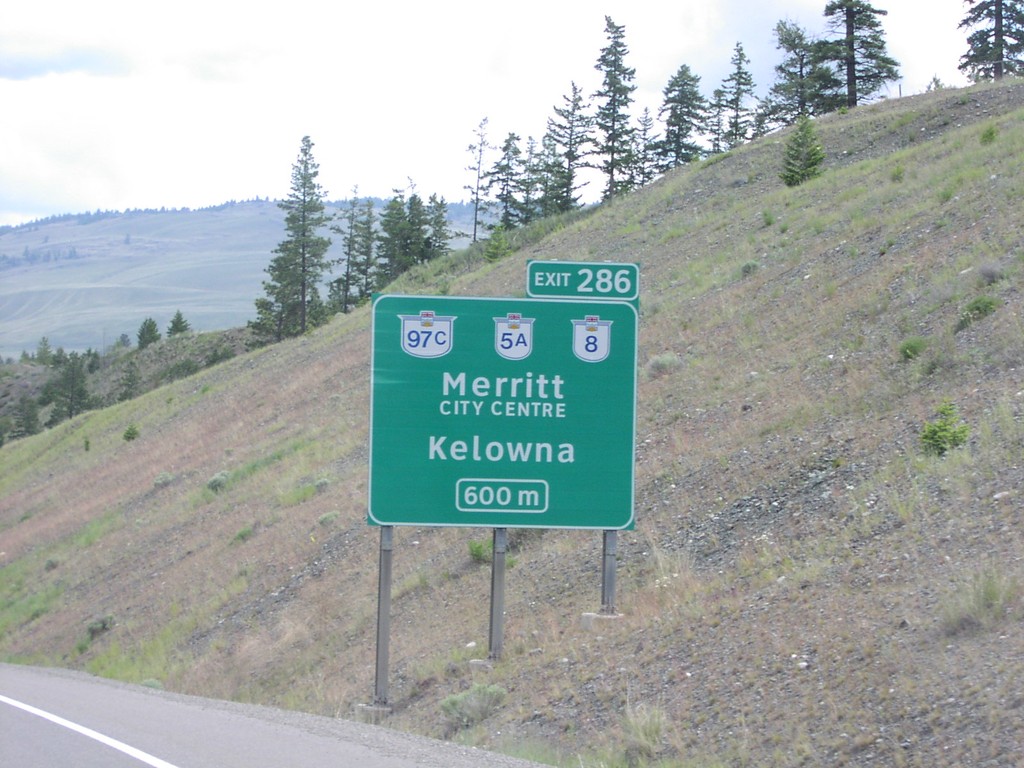
BC-5 North Exit 286
BC-5 north approaching Exit 286, BC-97C/BC-5A/BC-8/Merritt City Centre/Kelowna, 600 metres.
Taken 06-01-2006


 Merritt
Thompson-Nicola
British Columbia
Canada
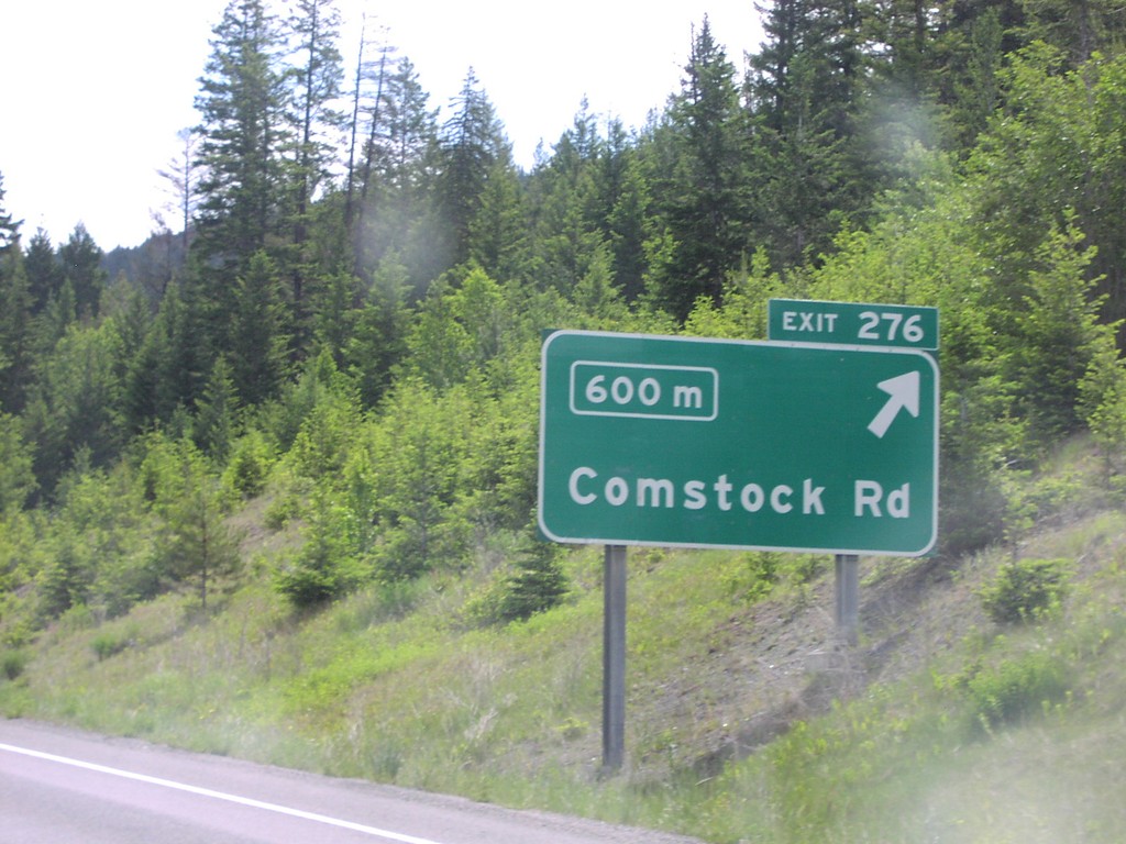
BC-5 North Exit 276
BC-5 north approaching Exit 276, Comstock Road, 600 metres.
Taken 06-01-2006
 Merritt
Thompson-Nicola
British Columbia
Canada
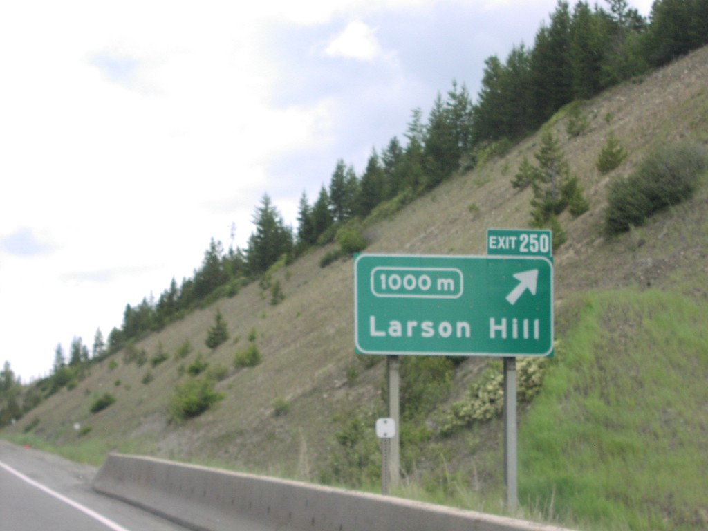
BC-5 North Exit 250
BC-5 north approaching Exit 250, Larson Hill, 1000 metres.
Taken 06-01-2006
 Brookmere
Thompson-Nicola
British Columbia
Canada
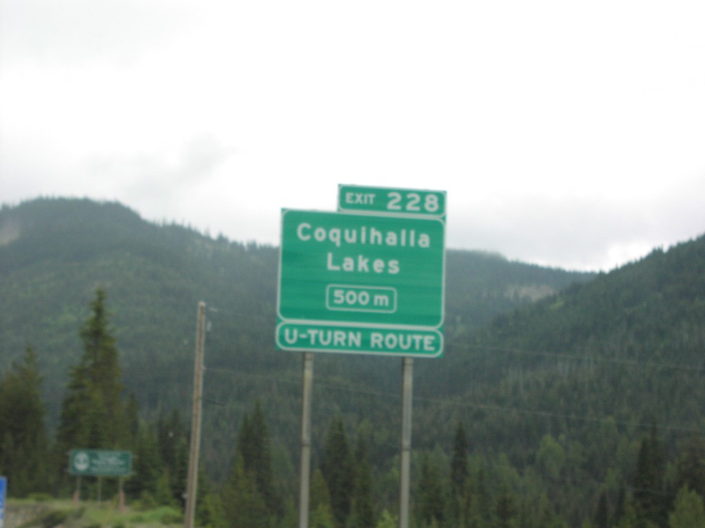
BC-5 North Exit 228
BC-5 north approaching Exit 228, Coquihalla Lakes, 500 metres.
Taken 06-01-2006
 Thompson-Nicola
British Columbia
Canada
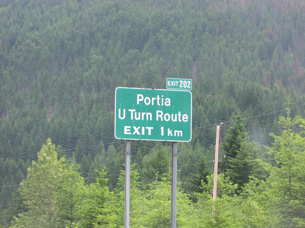
BC-5 North Exit 202
BC-5 north approaching Exit 202, Portia/U Turn Route, 1 km.
Taken 06-01-2006
 Hope
Fraser Valley
British Columbia
Canada
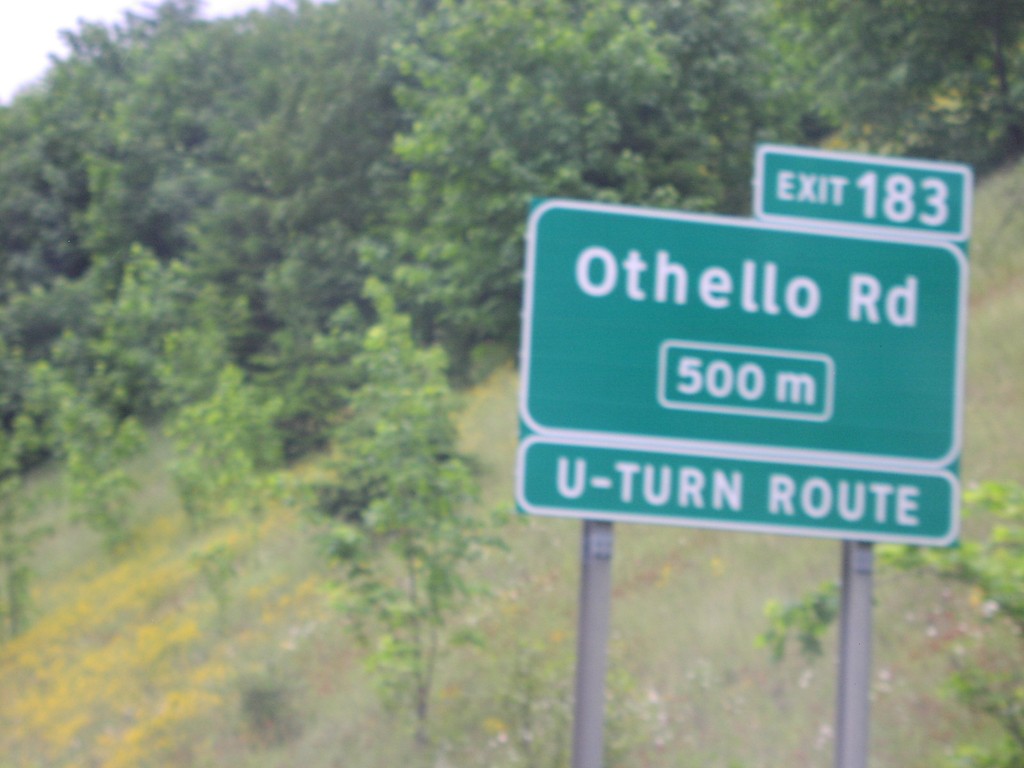
BC-5 North Exit 183
BC-5 north approaching Exit 183, Othello Road, 500 metres.
Taken 06-01-2006
 Hope
Fraser Valley
British Columbia
Canada
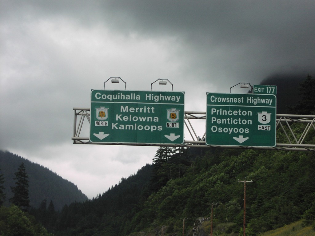
BC-3 East Exit 177
BC-3 east, Crowsnest Highway at Exit 177, BC-5 north, Coquihalla Highway to Merritt, Kelowna, and Kamloops.
Taken 06-01-2006

 Hope
Fraser Valley
British Columbia
Canada
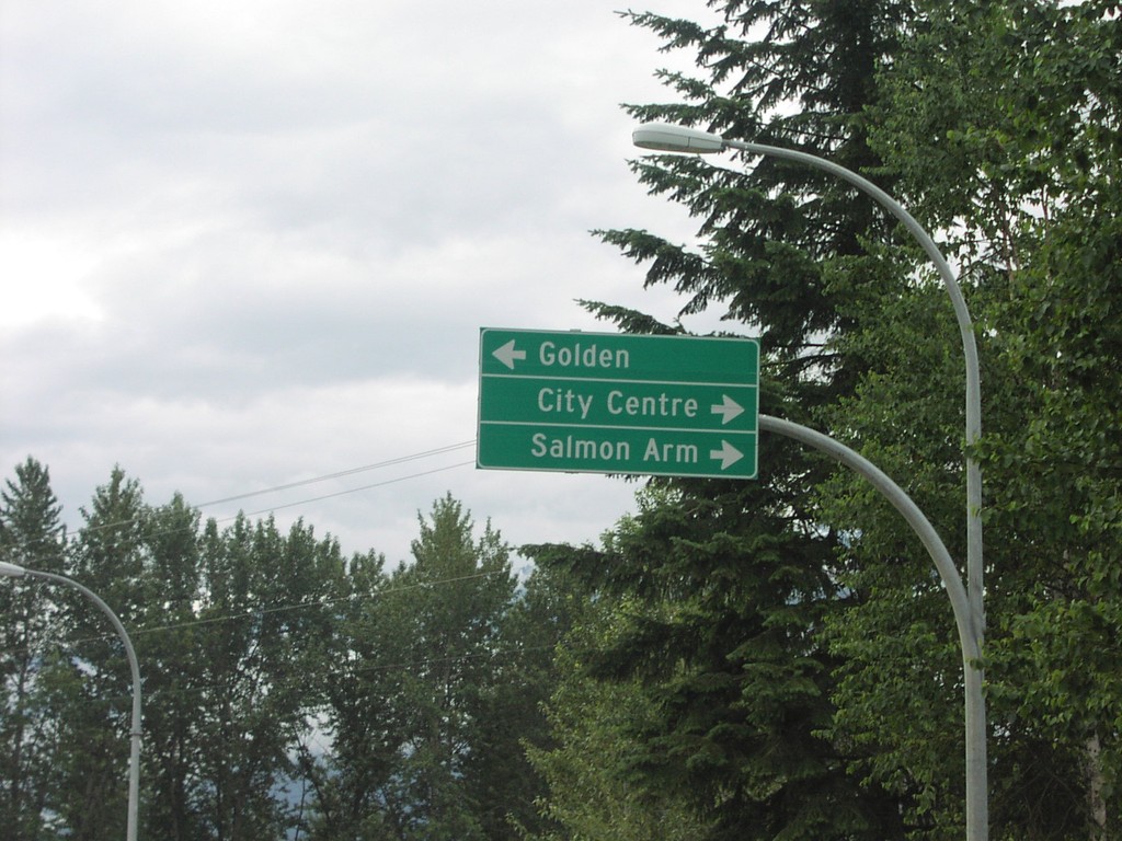
BC-23 South at TC-1
BC-23 south at TC-1/BC-23 junction to Golden/City Centre/Salmon Arm.
Taken 06-01-2006

 Revelstoke
Columbia-Shuswap
British Columbia
Canada
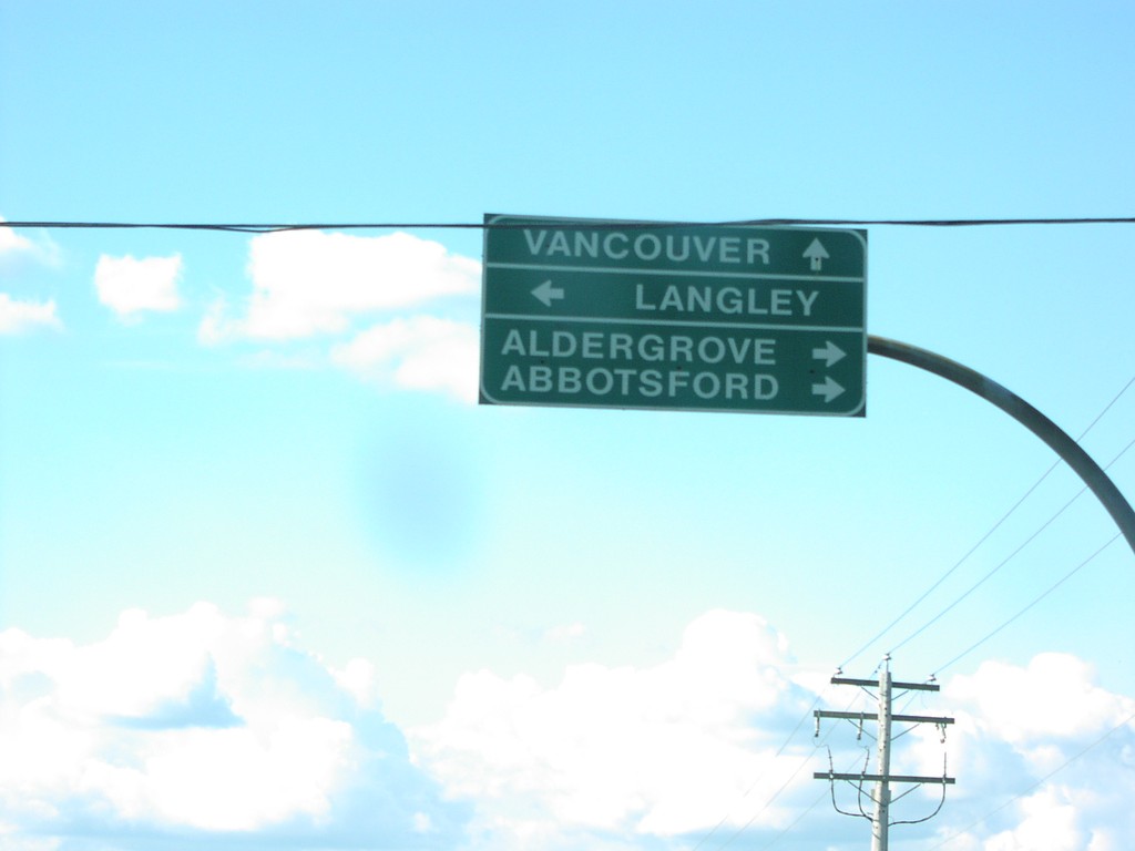
BC-13 North at BC-1A Jct.
BC-13 north at BC-1A to Langley, Aldergrove, and Abbotsford.
Taken 06-01-2006

 Langley Township
Metro Vancouver
British Columbia
Canada
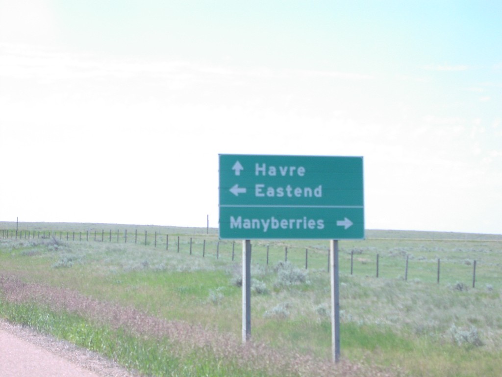
AB-41 South at ABS-501Jct.
AB-41 south at ABS-501 junction to Eastend and Manyberries.
Taken 06-01-2006

 Onefour
Cypress County
Alberta
Canada
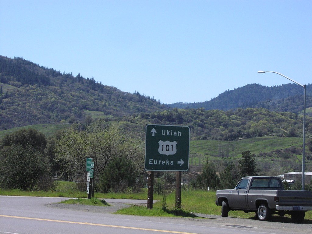
West Rd at US-101 Onramp
West Road at US-101 to Ukiah and Eureka.
Taken 04-01-2006

 Redwood Valley
Mendocino County
California
United States
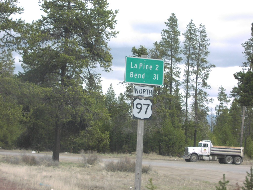
US-97 North Distance Marker
Distance marker to La Pine and Bend on US-97 north.
Taken 04-01-2006
 La Pine
Deschutes County
Oregon
United States
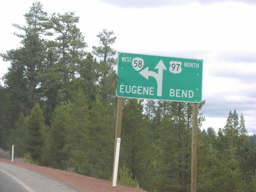
US-97 North at OR-58/Eugene
US-97 North to Bend/OR-58 to Eugene split.
Taken 04-01-2006
 Crescent
Klamath County
Oregon
United States
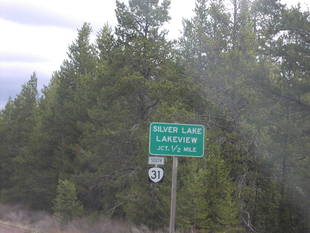
US-97 North at OR-31/Silver Lake/Lakeview
US-97 north approaching OR-31 south to Lakeview and Silver Lake.
Taken 04-01-2006
 La Pine
Deschutes County
Oregon
United States