Signs Tagged With Big Green Sign
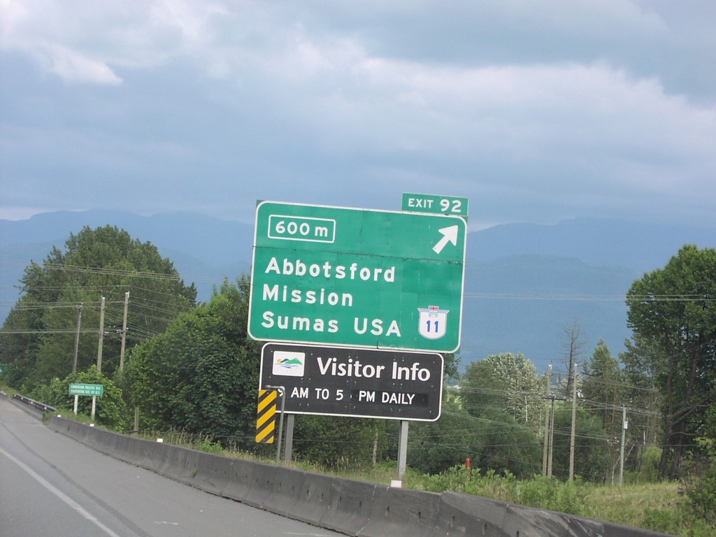
TC-1 East Exit 92
TC-1 east approaching Exit 92, BC-11/Mission/Abbotsford/Sumas, USA, 600 metres.
Taken 06-01-2006

 Abbotsford
Fraser Valley
British Columbia
Canada
Abbotsford
Fraser Valley
British Columbia
Canada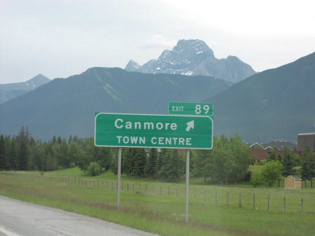
TC-1 East Exit 89
TC-1 east at Exit 89, Canmore/Town Centre
Taken 06-01-2006
Canmore
Bighorn No. 8
Alberta
Canada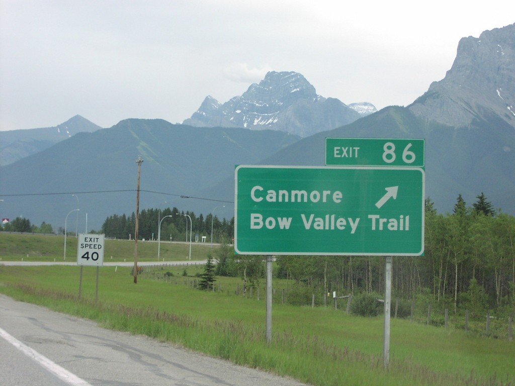
TC-1 East Exit 86
TC-1 east at Exit 86, Canmore/Bow Valley Trail
Taken 06-01-2006
Canmore
Bighorn No. 8
Alberta
Canada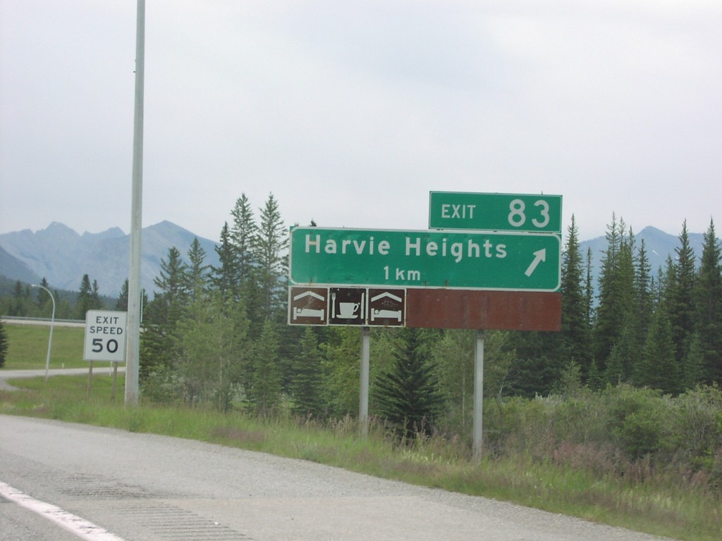
TC-1 East Exit 83
TC-1 east approaching Exit 83, Harvie Heights, 1 km.
Taken 06-01-2006
Bighorn No. 8
Alberta
Canada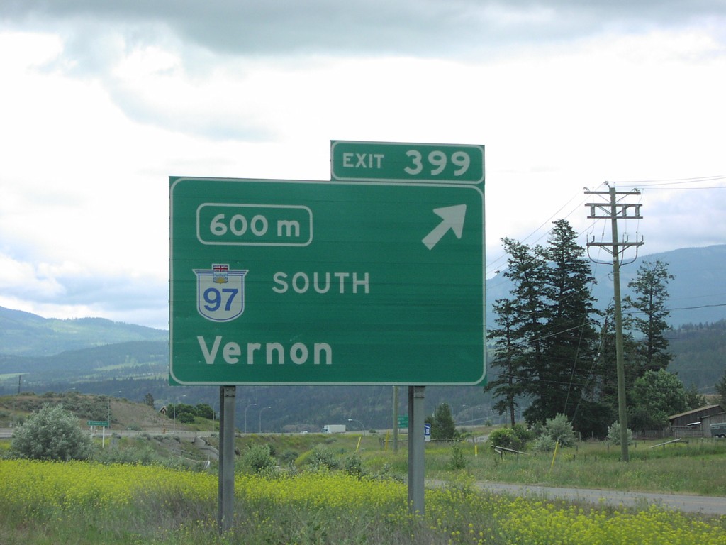
TC-1 East Exit 399
TC-1 East/BC-97 South approaching Exit 399, BC-97 South/Vernon, 600 metres.
Taken 06-01-2006
 Monte Creek
Thompson-Nicola
British Columbia
Canada
Monte Creek
Thompson-Nicola
British Columbia
Canada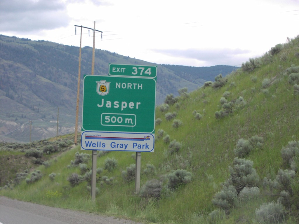
TC-1 East Exit 374
TC-1 East/BC-5 North approaching Exit 374, BC-5 North/Jasper, 500 metres.
Taken 06-01-2006
 Kamloops
Thompson-Nicola
British Columbia
Canada
Kamloops
Thompson-Nicola
British Columbia
Canada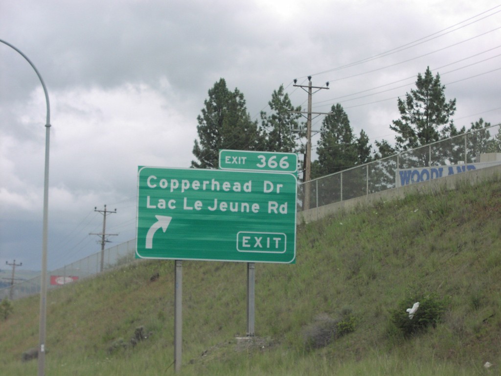
TC-1 East Exit 366
TC-1 east at Exit 366, Copperhead Drive/Lac Le Jeune Road.
Taken 06-01-2006
Kamloops
Thompson-Nicola
British Columbia
Canada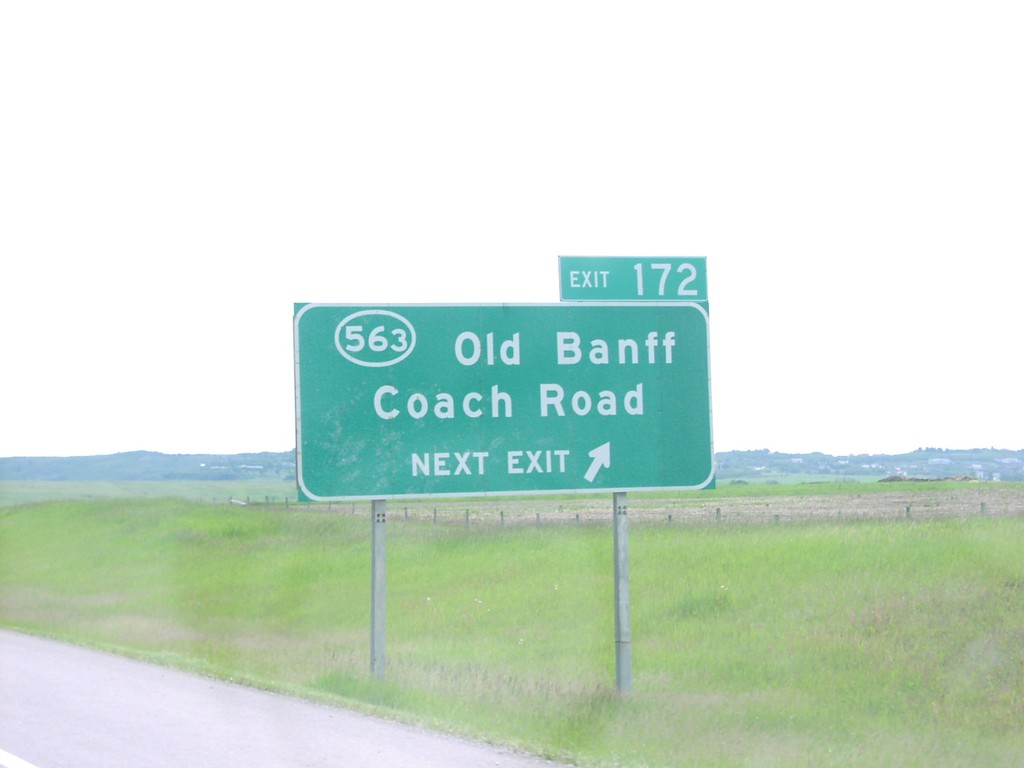
TC-1 East Exit 172
TC-1 east approaching Exit 172, ABS-563/Old Banff Coach Road.
Taken 06-01-2006
 Calgary
Rocky View
Alberta
Canada
Calgary
Rocky View
Alberta
Canada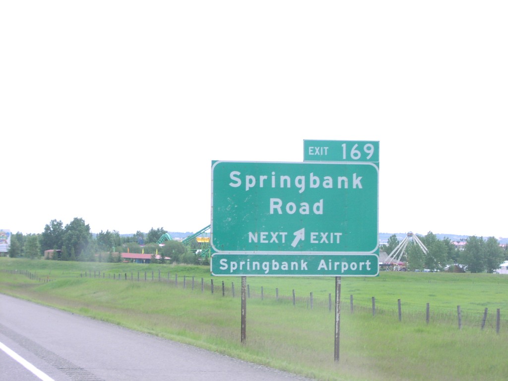
TC-1 East Exit 169
TC-1 east approaching Exit 169, Springbank Road
Taken 06-01-2006
Calgary
Rocky View
Alberta
Canada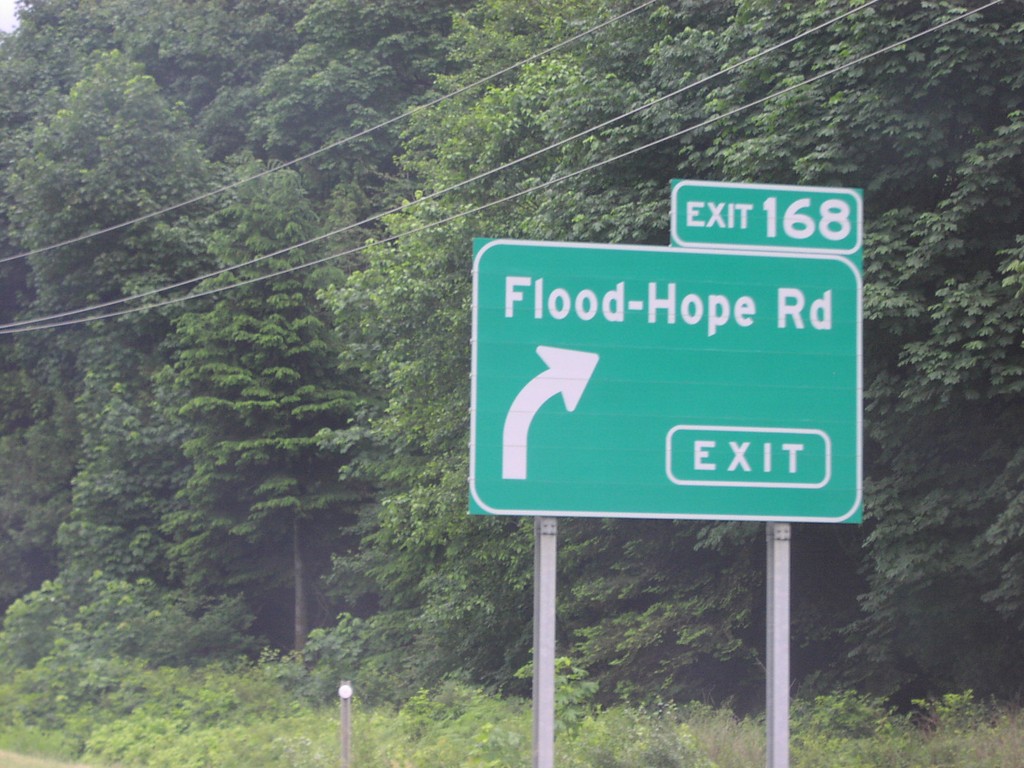
TC-1 East Exit 168
TC-1 east at Exit 168, Flood-Hope Road.
Taken 06-01-2006
Hope
Fraser Valley
British Columbia
Canada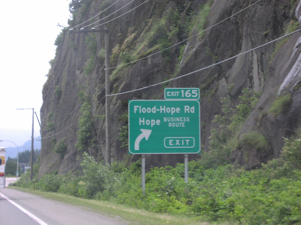
TC-1 East Exit 165
TC-1 east at Exit 165, Flood-Hope Road/Hope/Business Route.
Taken 06-01-2006
Hope
Fraser Valley
British Columbia
Canada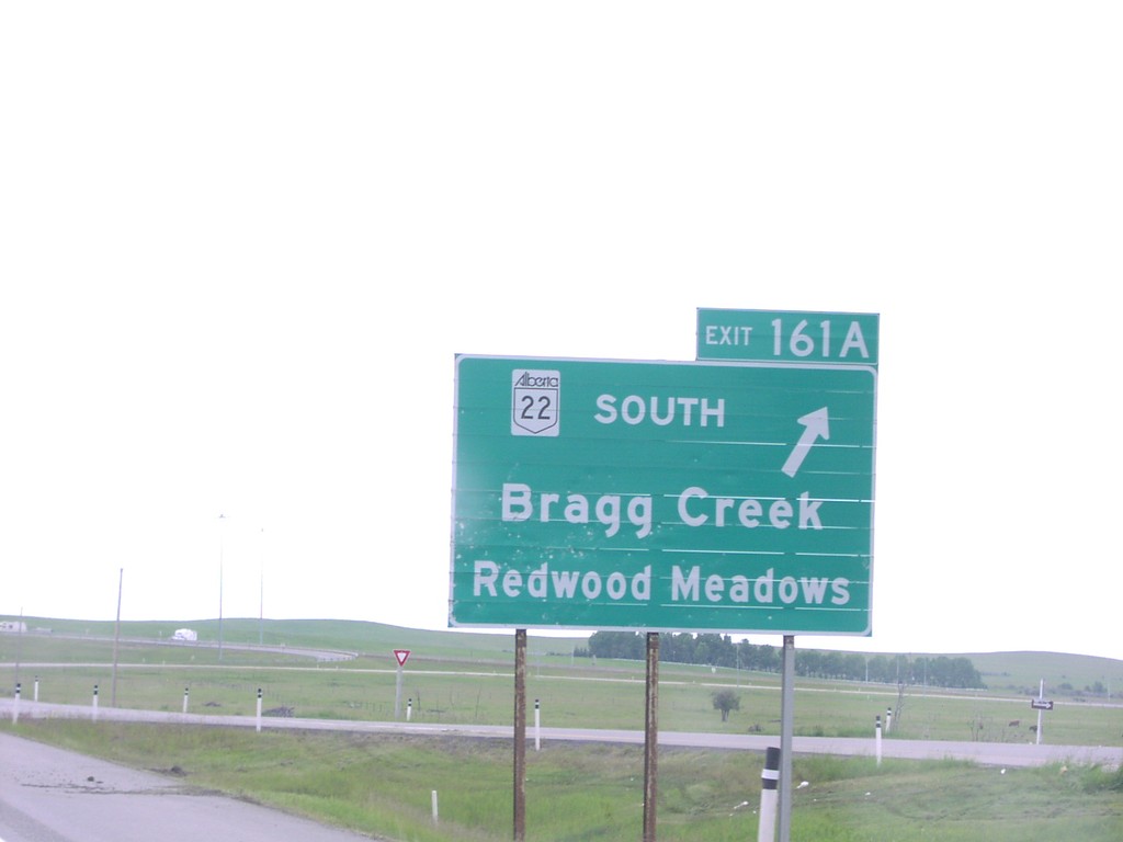
TC-1 East Exit 161A
TC-1 east approaching Exit 161A, AB-22 South/Bragg Creek/Redwood Meadows
Taken 06-01-2006
 Cochrane
Rocky View
Alberta
Canada
Cochrane
Rocky View
Alberta
Canada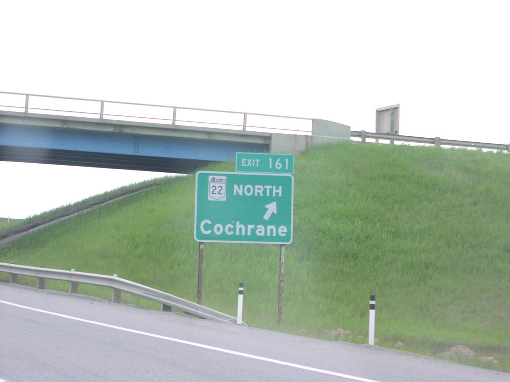
TC-1 East Exit 161
TC-1 east to Calgary at Exit 161(B), AB-22 North/Cochrane.
Taken 06-01-2006
Bragg Creek
Rocky View
Alberta
Canada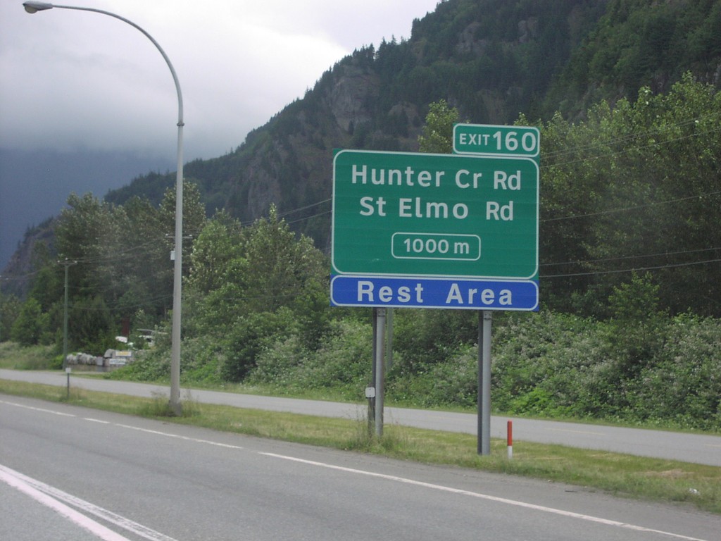
TC-1 East Exit 160
TC-1 east approaching Exit 160, Hunter Creek Road/St. Elmo Road, 1000 metres.
Taken 06-01-2006
Ruby Creek
Fraser Valley
British Columbia
Canada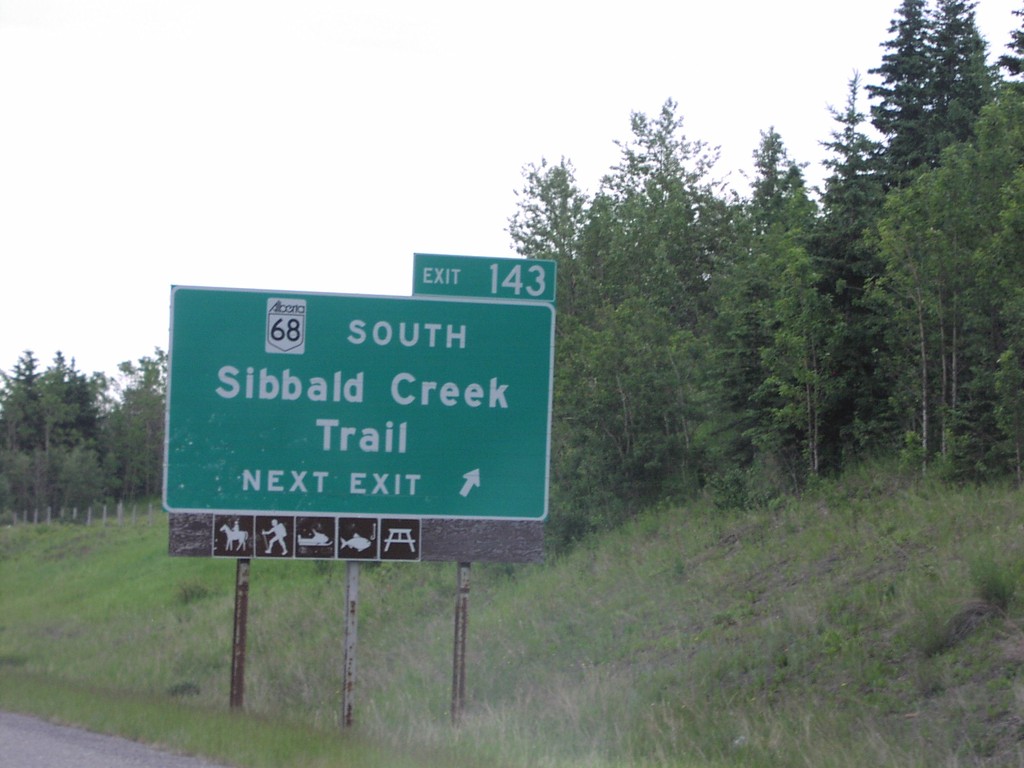
TC-1 East Exit 143
TC-1 east at Exit 143, AB-68 South/Sibbald Creek Trail
Taken 06-01-2006
 Calgary
Bighorn No. 8
Alberta
Canada
Calgary
Bighorn No. 8
Alberta
Canada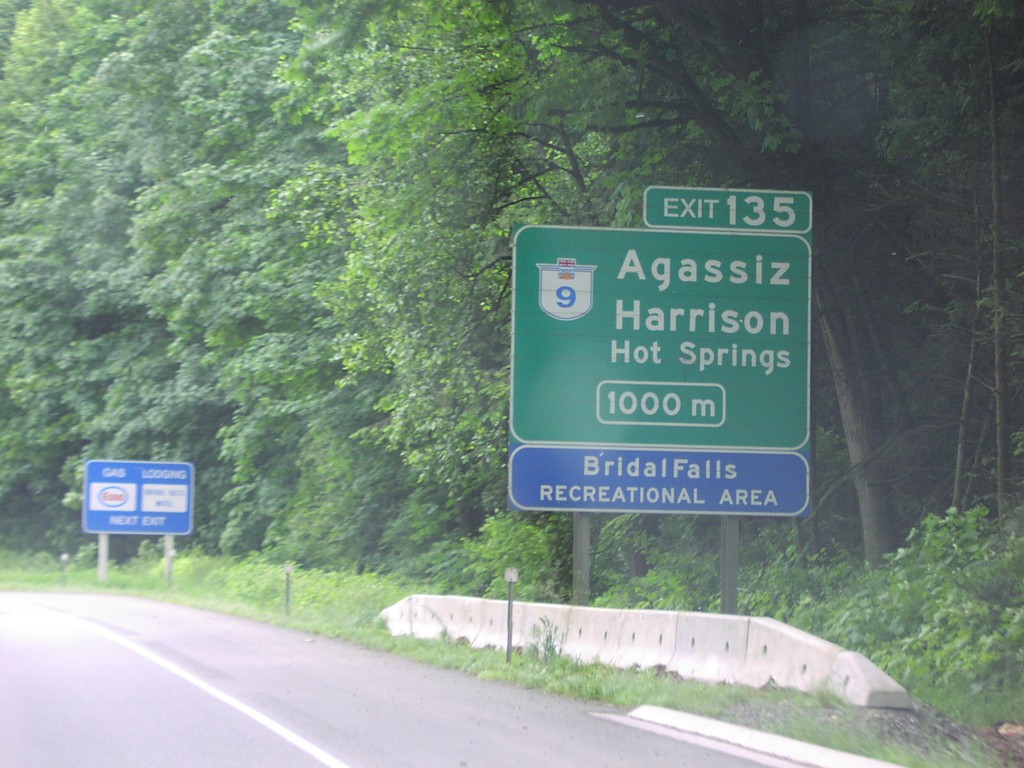
TC-1 East Exit 135
TC-1 east approaching Exit 135, BC-9/Agassiz/Harrison Hot Springs, 1000 metres.
Taken 06-01-2006
 Chilliwack
Fraser Valley
British Columbia
Canada
Chilliwack
Fraser Valley
British Columbia
Canada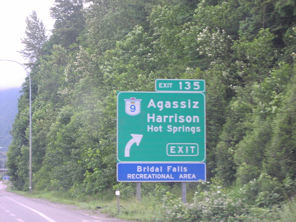
TC-1 East Exit 135
TC-1 east at Exit 135, BC-9/Agassiz/Harrison Hot Springs.
Taken 06-01-2006
Chilliwack
Fraser Valley
British Columbia
Canada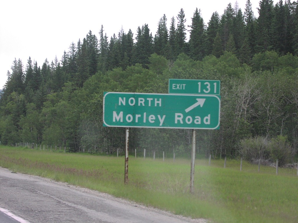
TC-1 East Exit 131
TC-1 east at Exit 131, North Morley Road
Taken 06-01-2006
Morley
Bighorn No. 8
Alberta
Canada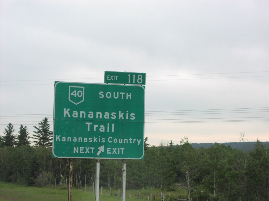
TC-1 East Exit 118
TC-1 east at Exit 118, AB-40 South/Kananaskis Trail/Kananaskis Country.
Taken 06-01-2006
 Seebe
Bighorn No. 8
Alberta
Canada
Seebe
Bighorn No. 8
Alberta
Canada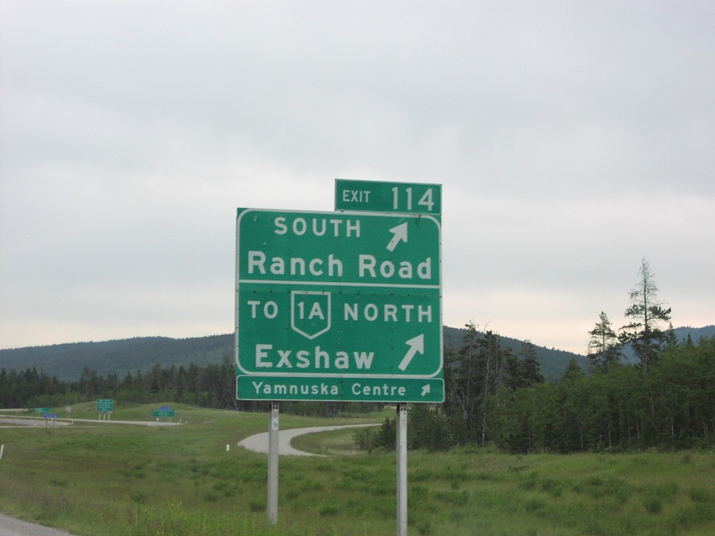
TC-1 East Exit 114
TC-1 east at Exit 114, South Ranch Road/To AB-1A North/Exshaw.
Taken 06-01-2006
 Seebe
Kananaskis
Alberta
Canada
Seebe
Kananaskis
Alberta
Canada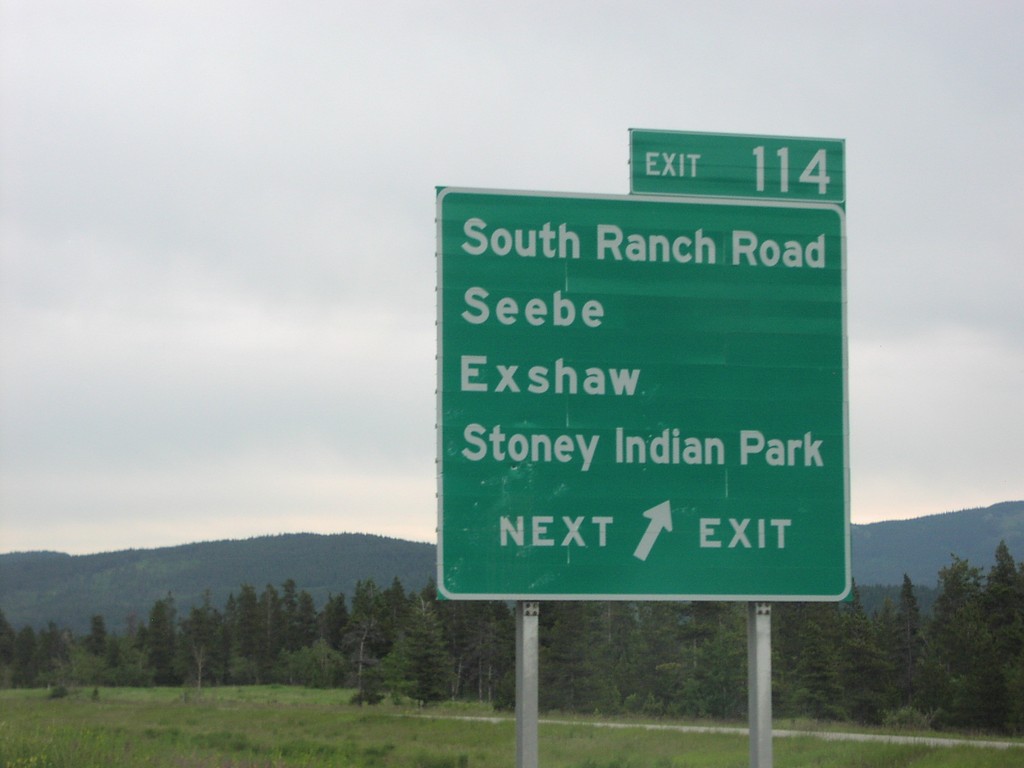
TC-1 East Exit 114
TC-1 east approaching Exit 114, South Ranch Road/Seebe/Exshaw/Stoney Indian Park.
Taken 06-01-2006
Seebe
Kananaskis
Alberta
Canada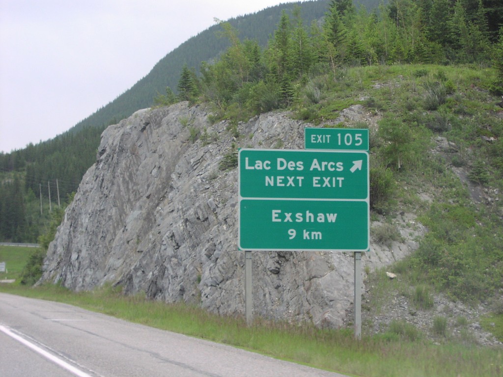
TC-1 East Exit 105
TC-1 at Exit 105, Lac des Arcs. Exshaw exit, 9 km.
Taken 06-01-2006
Canmore
Bighorn No. 8
Alberta
Canada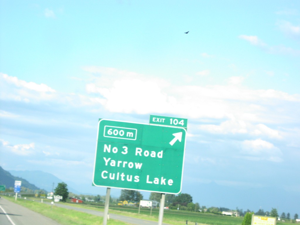
TC-1 East Exit 104
TC-1 east approaching Exit 104, No. 3 Road/Yarrow/Cultus Lake, 600 metres.
Taken 06-01-2006
Chilliwack
Fraser Valley
British Columbia
Canada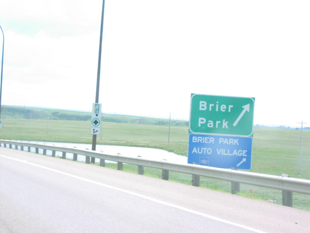
TC-1 East Brier Park Exit
TC-1 east at Briar Park exit.
Taken 06-01-2006
Medicine Hat
Cypress County
Alberta
Canada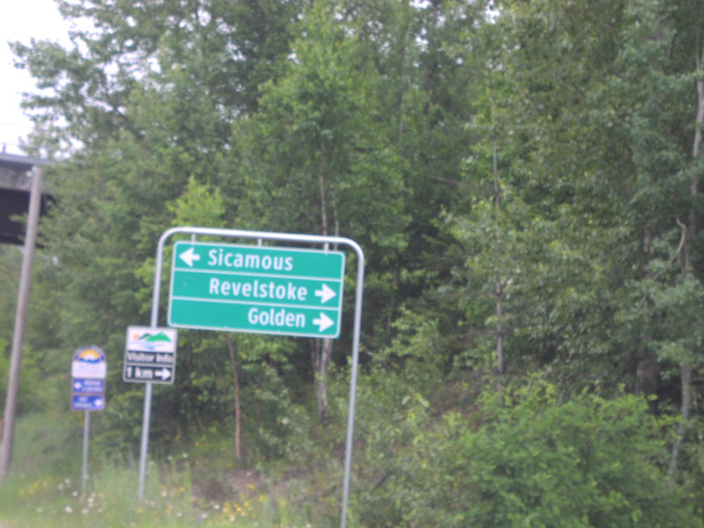
TC-1 East BC-23 South Jct.
BC-23 north at TC-1/BC-23 junction to Sicamous/Revelstoke/Golden.
Taken 06-01-2006
 Revelstoke
Columbia-Shuswap
British Columbia
Canada
Revelstoke
Columbia-Shuswap
British Columbia
Canada