Signs Tagged With Big Green Sign
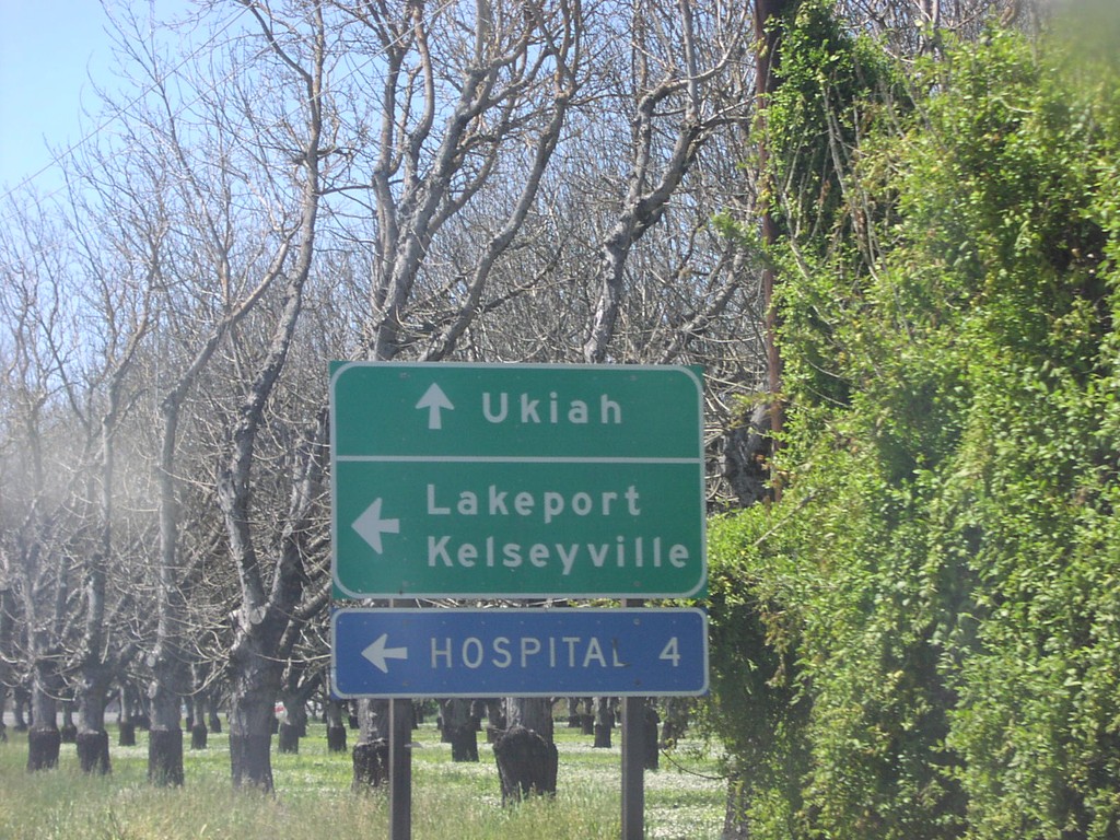
CA-20 West at CA-29 South
CA-20 west at CA-29 south to Lakeport and Kelseyville.
Taken 04-01-2006

 Upper Lake
Lake County
California
United States
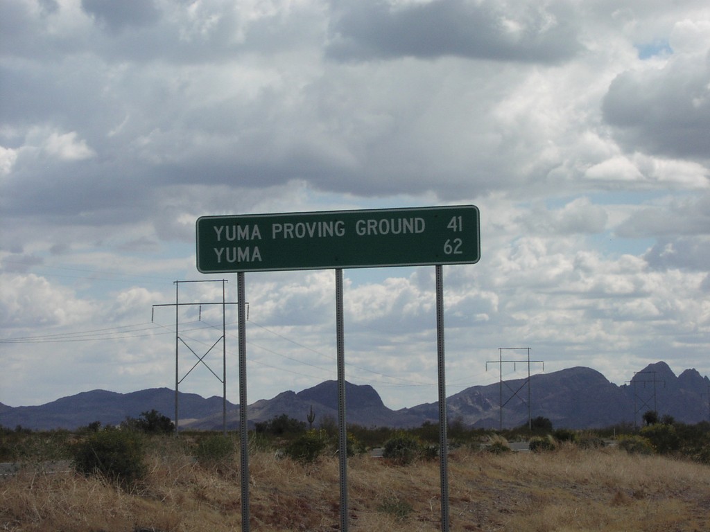
US-95 South - Distance Marker
US-95 south to Yuma Proving Ground and Yuma
Taken 03-01-2006
 Yuma
Yuma County
Arizona
United States
Yuma
Yuma County
Arizona
United States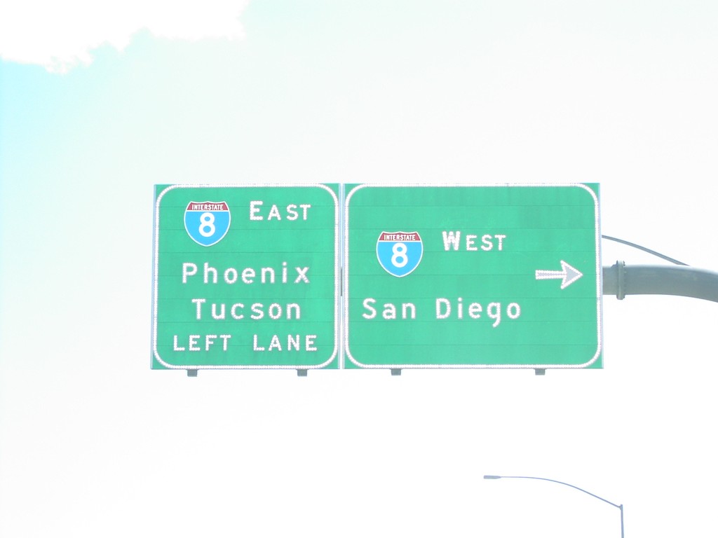
S. Fortuna Road at I-8 Exit 12 Onramp
Fortuna Road south at I-8 west to San Diego (CA) and east to Phoenix and Tuscon.
Taken 03-01-2006
 Fortuna Foothills
Yuma County
Arizona
United States
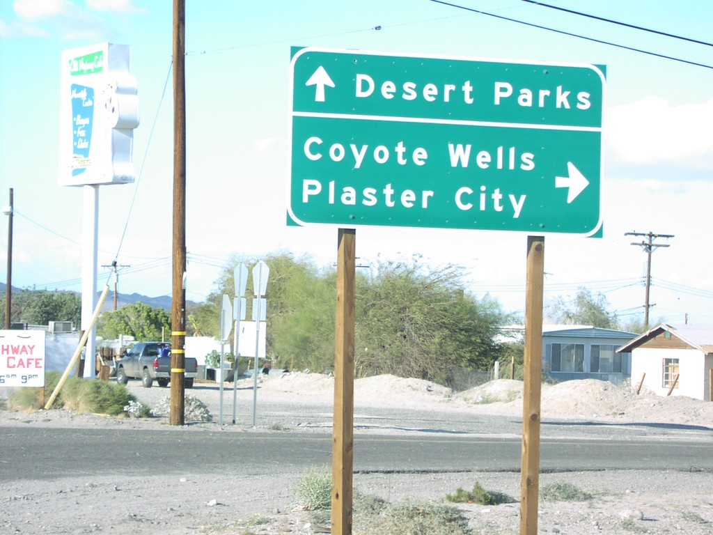
Imperial Hwy - Ocotillo
Imperial Highway north at road to Plaster City and Coyote Wells
Taken 03-01-2006
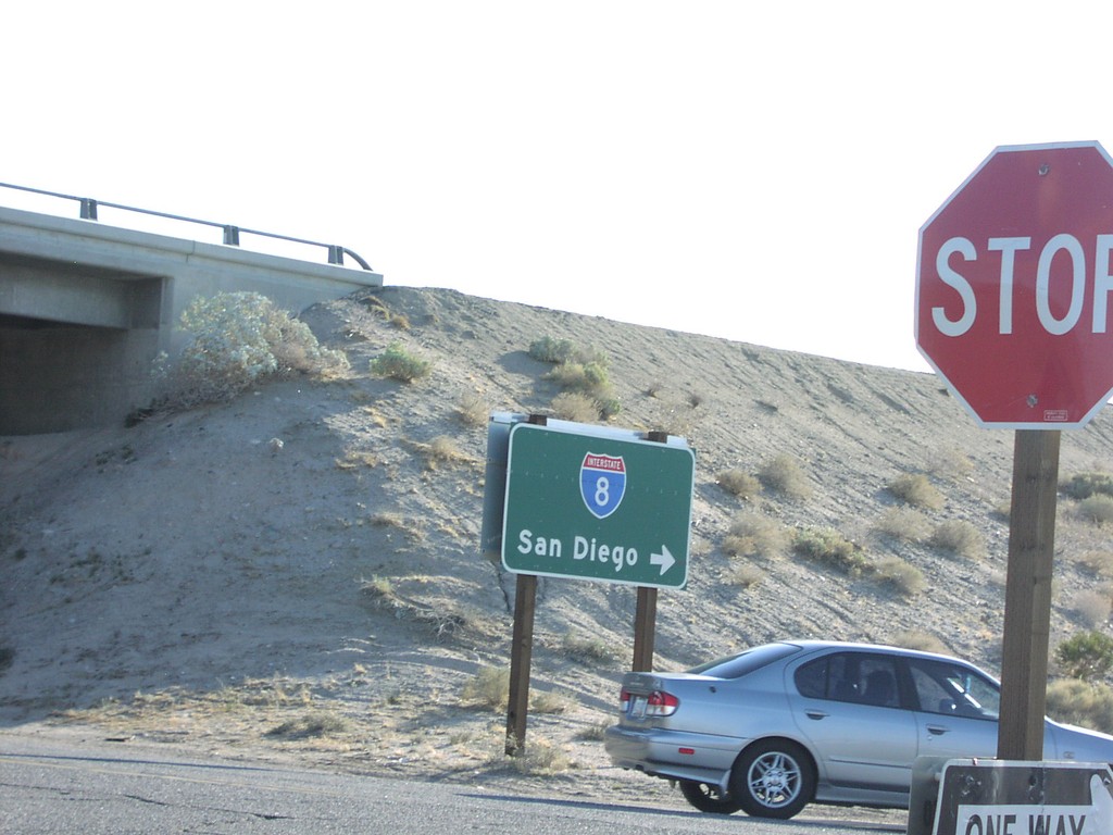
I-8 West Onramp Exit 89
I-8 west to San Diego onramp on Imperial Highway.
Taken 03-01-2006
 Ocotillo
Imperial County
California
United States
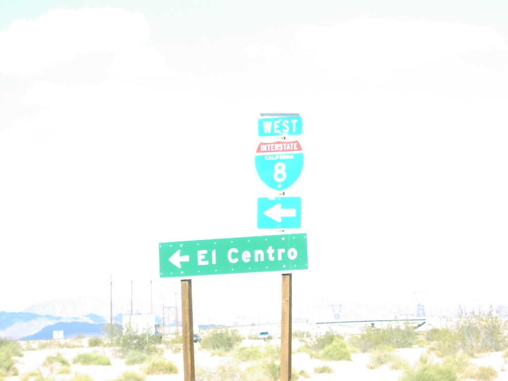
I-8 West Onramp - Grays Well Rest Area
I-8 west to El Centro at Grays Well Rest Area.
Taken 03-01-2006
 Dunes
Imperial County
California
United States
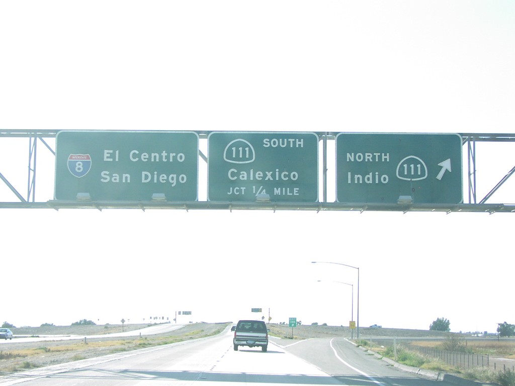
I-8 West Exits 118 A and B
I-8 west at Exit 118B, CA-111 North/Indio, approaching Exit 118A, CA-111 South/Calexico.
Taken 03-01-2006

 El Centro
Imperial County
California
United States
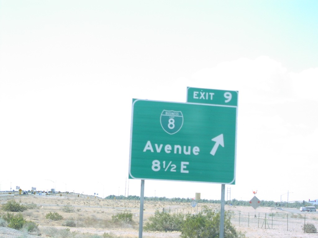
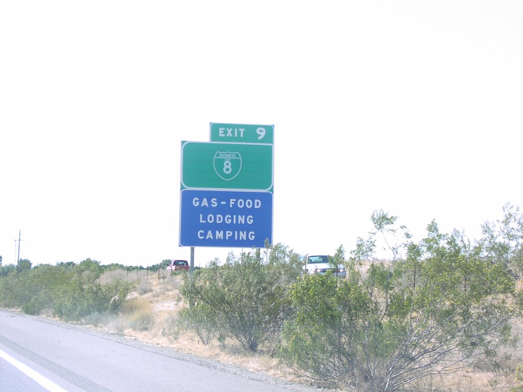
I-8 West Exit 9
I-8 west at Exit 9, BL-8/Ave 8 1/2 E
Taken 03-01-2006

 Yuma
Yuma County
Arizona
United States
Yuma
Yuma County
Arizona
United States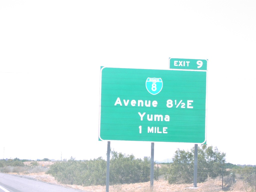
I-8 West Exit 9
I-8 west approaching Exit 9: BL-8/Ave 8 1/2 E/Yuma, 1 Mile
Taken 03-01-2006

 Yuma
Yuma County
Arizona
United States
Yuma
Yuma County
Arizona
United States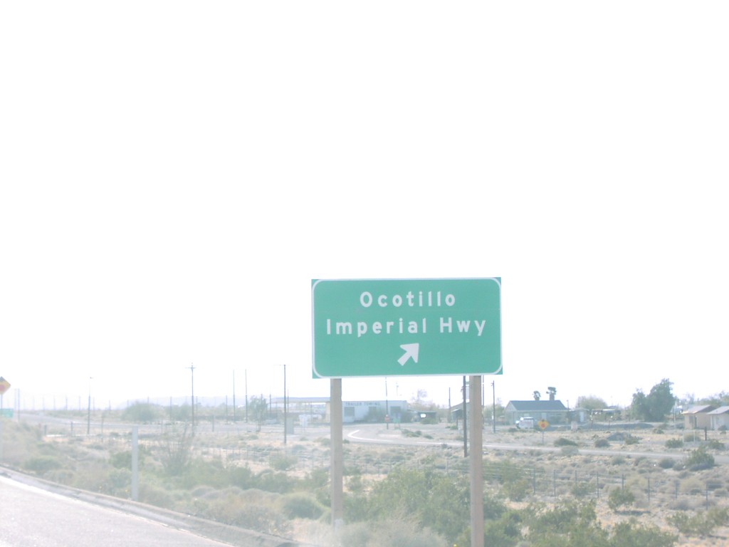
I-8 West Exit 89
I-8 west at Exit 89, Ocotillo/Imperial Highway
Taken 03-01-2006
 Ocotillo
Imperial County
California
United States
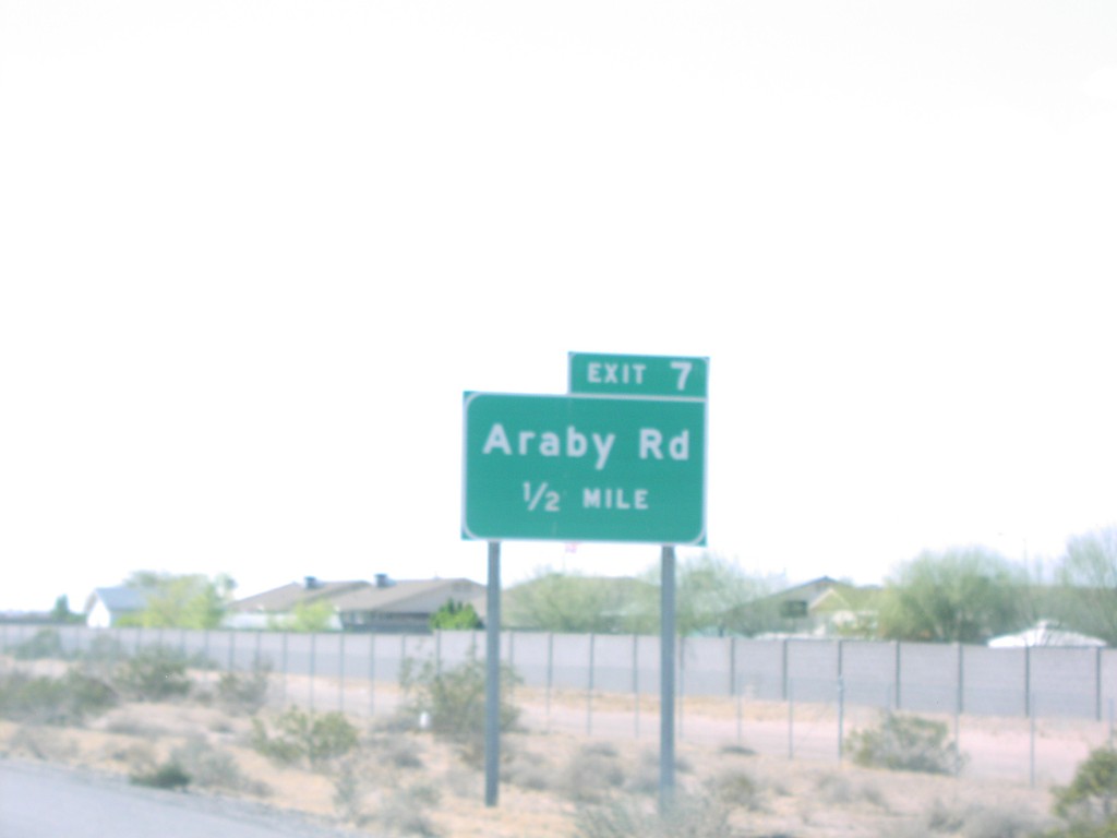
I-8 West Exit 7
I-8 west approaching Exit 7, Araby Road, 1/2 mile
Taken 03-01-2006
 Yuma
Yuma County
Arizona
United States
Yuma
Yuma County
Arizona
United States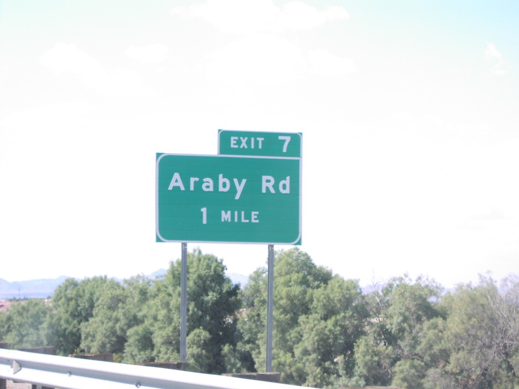
I-8 West Exit 7
I-8 approaching Exit 7, Araby Road, 1 Mile
Taken 03-01-2006
 Yuma
Yuma County
Arizona
United States
Yuma
Yuma County
Arizona
United States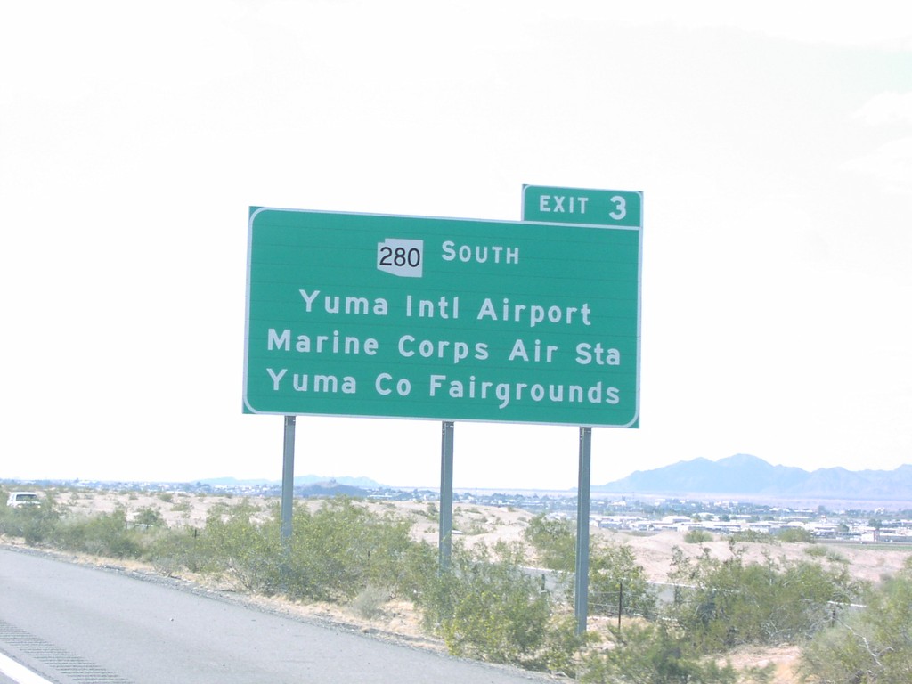
I-8 West Exit 3
I-8 west approaching Exit 3, AZ-280. Use Exit 3 for Yuma Intl. Airport/Marine Corps Air Station/Yuma Co Fairgrounds
Taken 03-01-2006

 Yuma
Yuma County
Arizona
United States
Yuma
Yuma County
Arizona
United States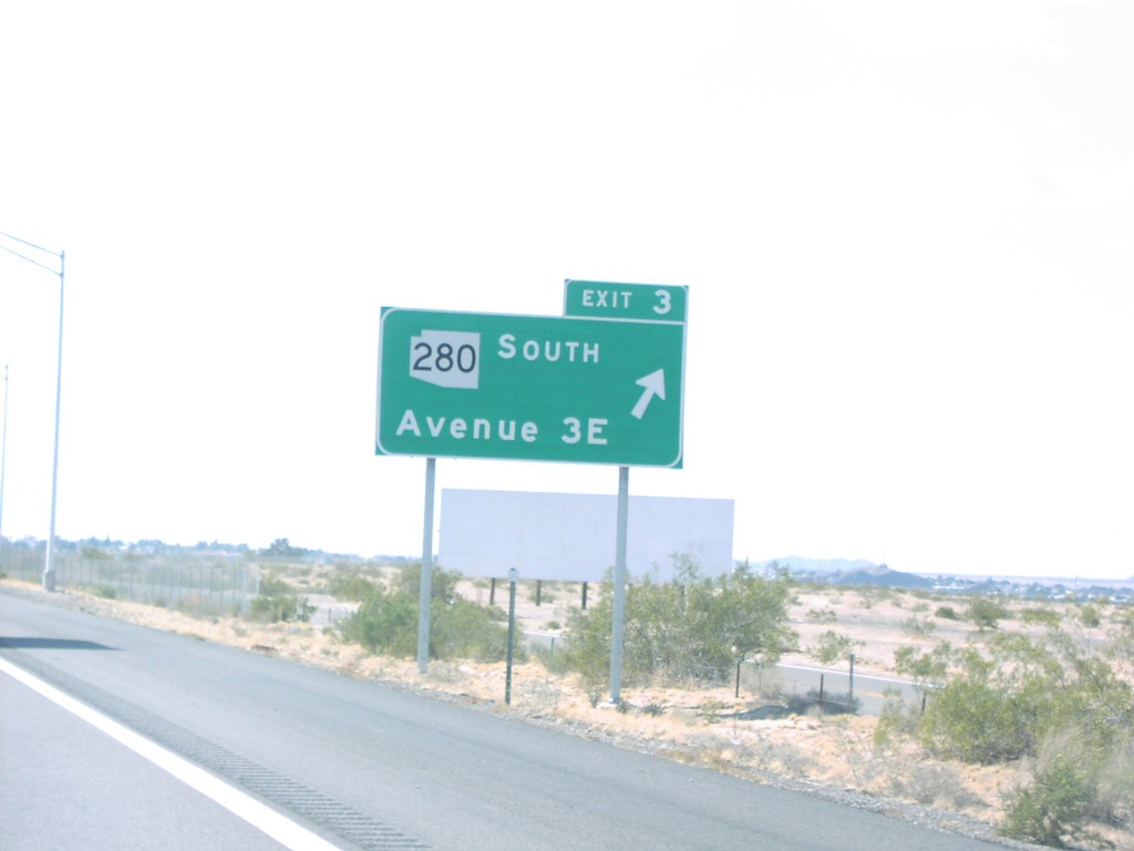
I-8 West Exit 3
I-8 west at Exit 3 - AZ-280 South/Ave 3E
Taken 03-01-2006

 Yuma
Yuma County
Arizona
United States
Yuma
Yuma County
Arizona
United States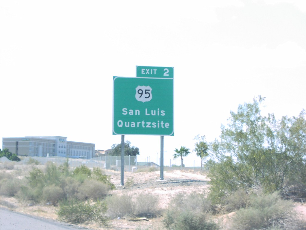
I-8 West Exit 2
I-8 west approaching Exit 2, US-95. Use Exit 2 for US-95/Quartzsite/San Luis.
Taken 03-01-2006

 Yuma
Yuma County
Arizona
United States
Yuma
Yuma County
Arizona
United States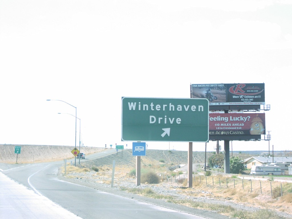
I-8 West Exit 170
I-8 west at Exit 170, Winterhaven Drive
Taken 03-01-2006
 Winterhaven
Imperial County
California
United States
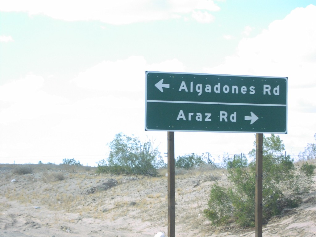
I-8 West Exit 166 Offramp - CA-186 Jct.
I-8 west offramp at CA-186 to Algodones Road and Araz Road.
Taken 03-01-2006

 Araz Junction
Imperial County
California
United States
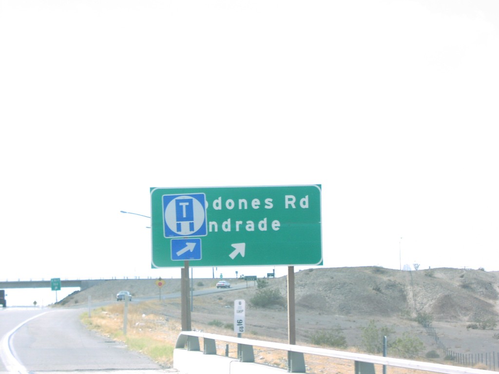
I-8 West Exit 166
I-8 west at Exit 166, Algodones Road/Andrade
Taken 03-01-2006

 Araz Junction
Imperial County
California
United States
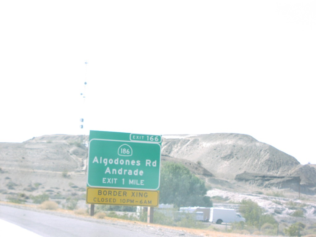
I-8 West Exit 166
I-8 west approaching Exit 166, CA-186/Algodones Road/Andrade. Border crossing with Mexico closed 10p - 6a.
Taken 03-01-2006

 Winterhaven
Imperial County
California
United States
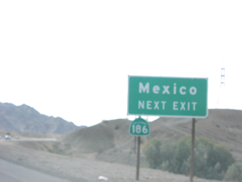
I-8 West Exit 166
CA-186/Mexico next exit, approaching Exit 166 on I-8 west.
Taken 03-01-2006

 Winterhaven
Imperial County
California
United States
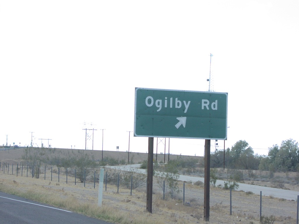
I-8 West Exit 159
I-8 west at Exit 159, Ogilby Road.
Taken 03-01-2006
 Winterhaven
Imperial County
California
United States
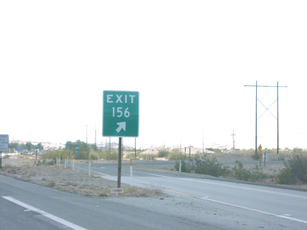
I-8 West Exit 156
I-8 west at Exit 156, Grays Well Road, Gore sign.
Taken 03-01-2006
 Winterhaven
Imperial County
California
United States
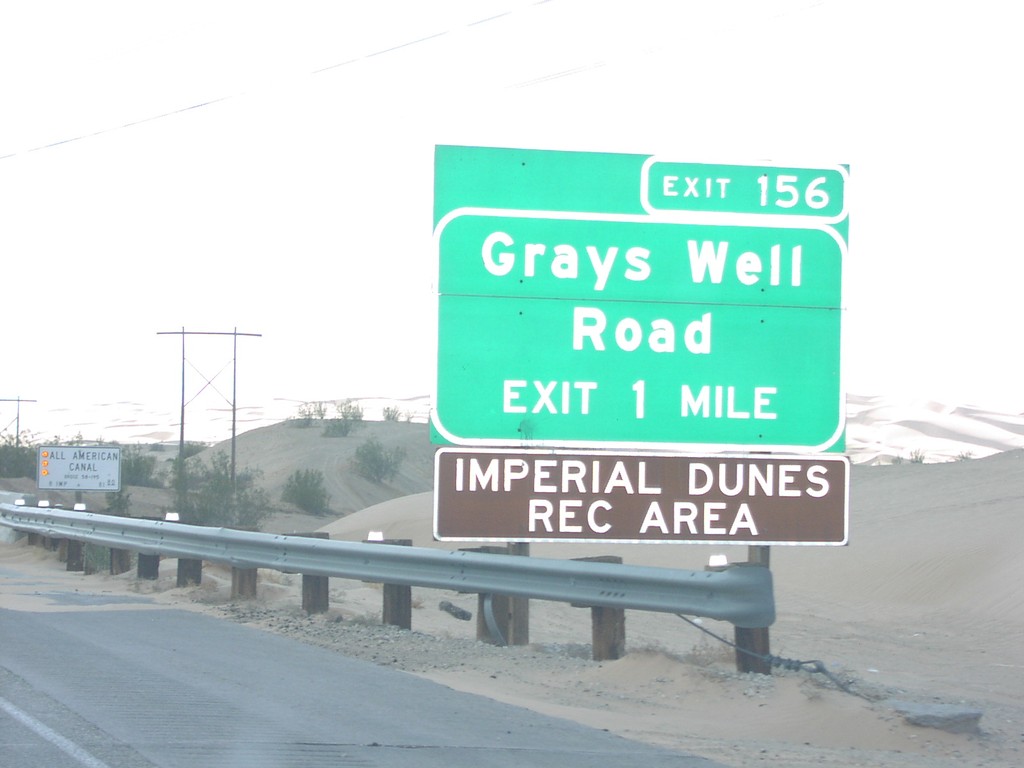
I-8 West Exit 156
I-8 west approaching Exit 156, Grays Well Road, 1 Mile
Taken 03-01-2006
 Winterhaven
Imperial County
California
United States
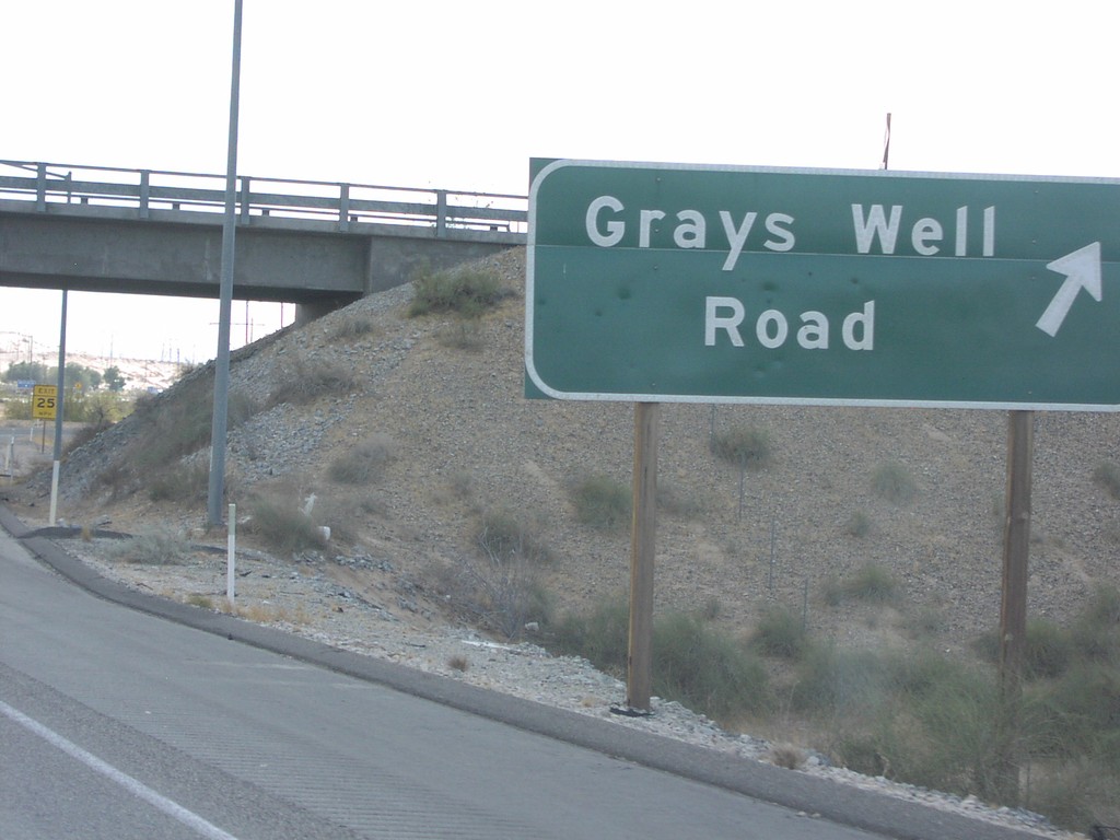
I-8 West Exit 156
I-8 west at Exit 156, Grays Well Road
Taken 03-01-2006
 Dunes
Imperial County
California
United States