Signs Tagged With Big Green Sign
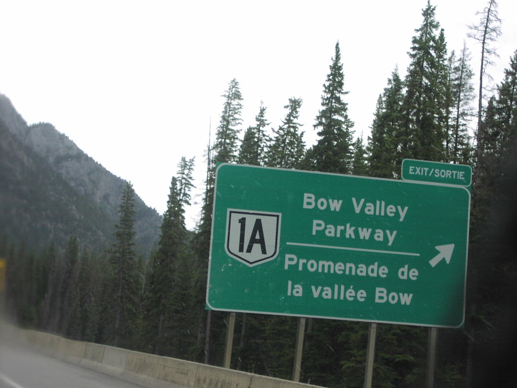
TC-1 East AB-1A Exit
TC-1 east at AB-1A/Bow Valley Parkway
Taken 06-01-2006

 Sawback
Improvement District No. 9
Alberta
Canada
Sawback
Improvement District No. 9
Alberta
Canada
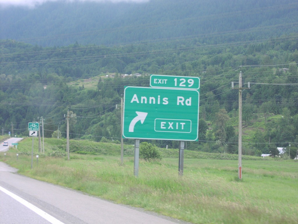
TC- 1 East Exit 129
TC-1 east at Exit 129, Annis Road.
Taken 06-01-2006
Chilliwack
Fraser Valley
British Columbia
Canada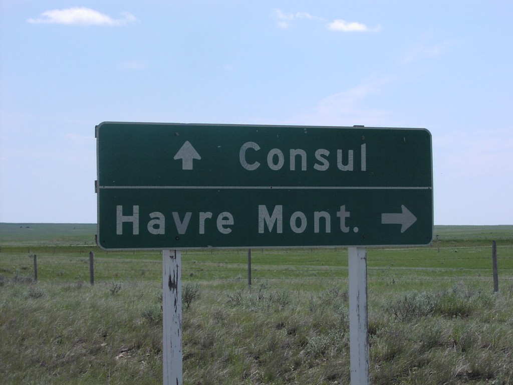
SK-13 East at SK-21 South
SK-13 east to Consul at SK-21 junction south to Havre, Montana.
Taken 06-01-2006

 Consul
Reno No. 51
Saskatchewan
Canada
Consul
Reno No. 51
Saskatchewan
Canada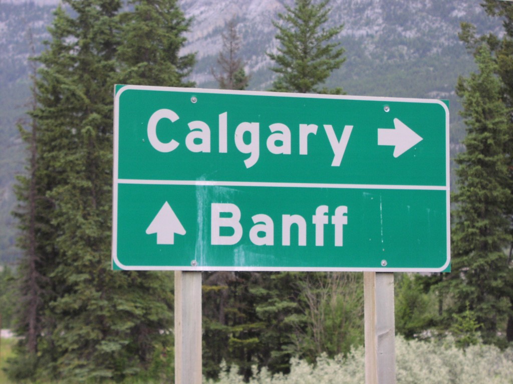
Onramp to TC-1 at Dead Mans Flats
Freeway entrance to TC-1/Banff/Calgary at Dead Mans Flats access road.
Taken 06-01-2006
Canmore
Bighorn No. 8
Alberta
Canada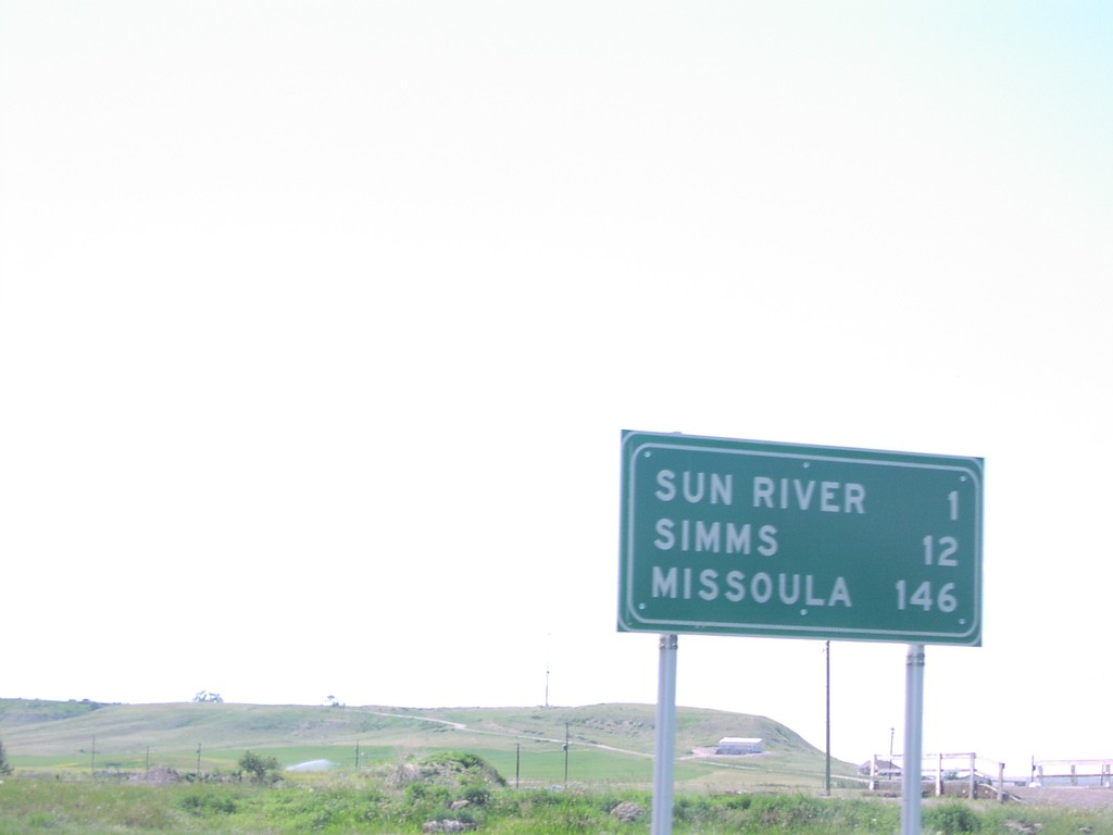
MT-200 West - Distance Marker
Distance marker on MT-200 west to Sun River, Simms, and Missoula, just west of US-89.
Taken 06-01-2006
 Sun River
Cascade County
Montana
United States
Sun River
Cascade County
Montana
United States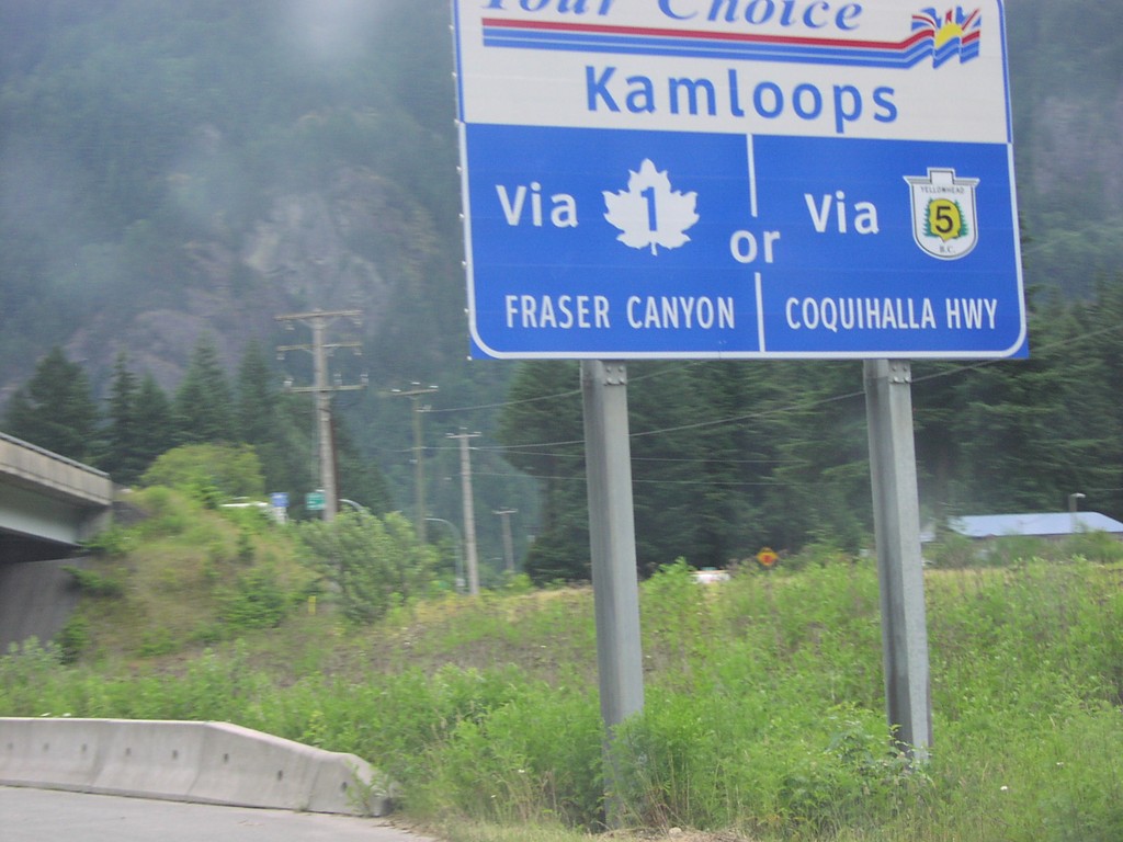
Kamloops Your Choice TC-1 East
Your Choice: Kamloops via TC-1/Fraser Canyon or BC-5/Coquihalla Highway, on TC-1 east.
Taken 06-01-2006
 Hope
Fraser Valley
British Columbia
Canada
Hope
Fraser Valley
British Columbia
Canada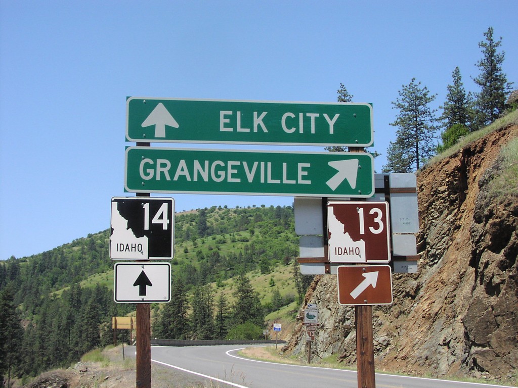
ID-13 South at ID-14
ID-13 south to Grangeville at ID-14 to Elk City.
Taken 06-01-2006

 Grangeville
Idaho County
Idaho
United States
Grangeville
Idaho County
Idaho
United States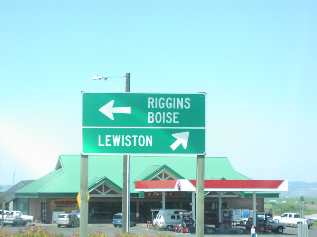
ID-13 South Approaching US-95
ID-13 south approaching US-95. Merge right for US-95 north to Lewiston; merge left for US-95 south to Riggins and Boise.
Taken 06-01-2006
 Grangeville
Idaho County
Idaho
United States
Grangeville
Idaho County
Idaho
United States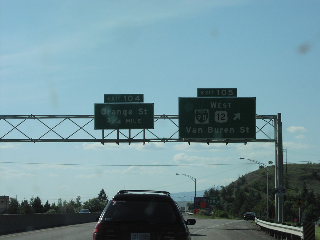
I-90 West - Exit 105 Approaching Exit 104
I-90/US-12 west at Exit 105 - BL-90/US-12 West/Van Buren St. Approaching Exit 106 - Orange St. US-12 leaves I-90 here.
Taken 06-01-2006


 Missoula
 County
Montana
United States
Missoula
Missoula County
Montana
United States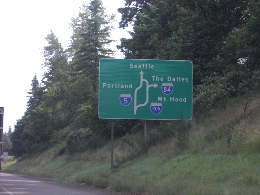
I-5 North Portland Route Diagram
Portland area route diagram on I-5 north approaching I-205 junction.
Taken 06-01-2006


 Tualatin
Washington County
Oregon
United States
Tualatin
Washington County
Oregon
United States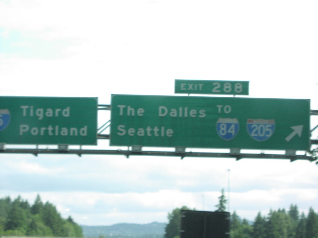
I-5 North Exit 288
I-5 north to Tigard and Portland at Exit 288, I-205/To I-84/The Dalles/Seattle.
Taken 06-01-2006
Tualatin
Washington County
Oregon
United States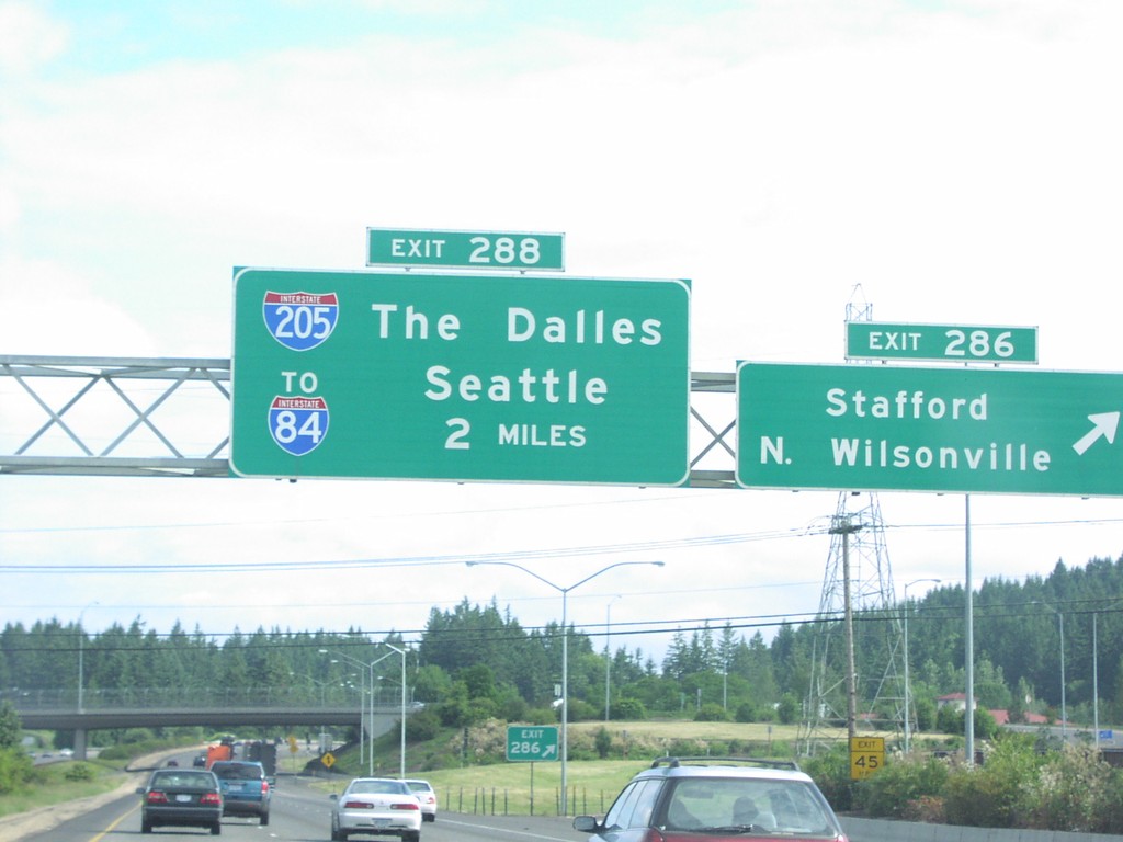
I-5 North Exit 286/Exit 288
I-5 north at Exit 286, Stafford/N. Wilsonville, approaching I-205.
Taken 06-01-2006
Wilsonville
Washington County
Oregon
United States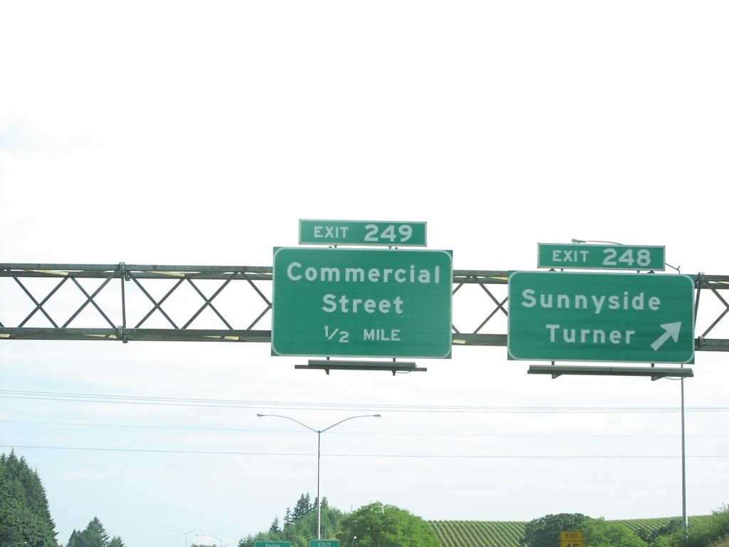
I-5 North Exit 248/Exit 249
I-5 north at Exit 248, Sunnyside/Turner and approaching Exit 249, Commercial St, 1/2 mile.
Taken 06-01-2006
Salem
Marion County
Oregon
United States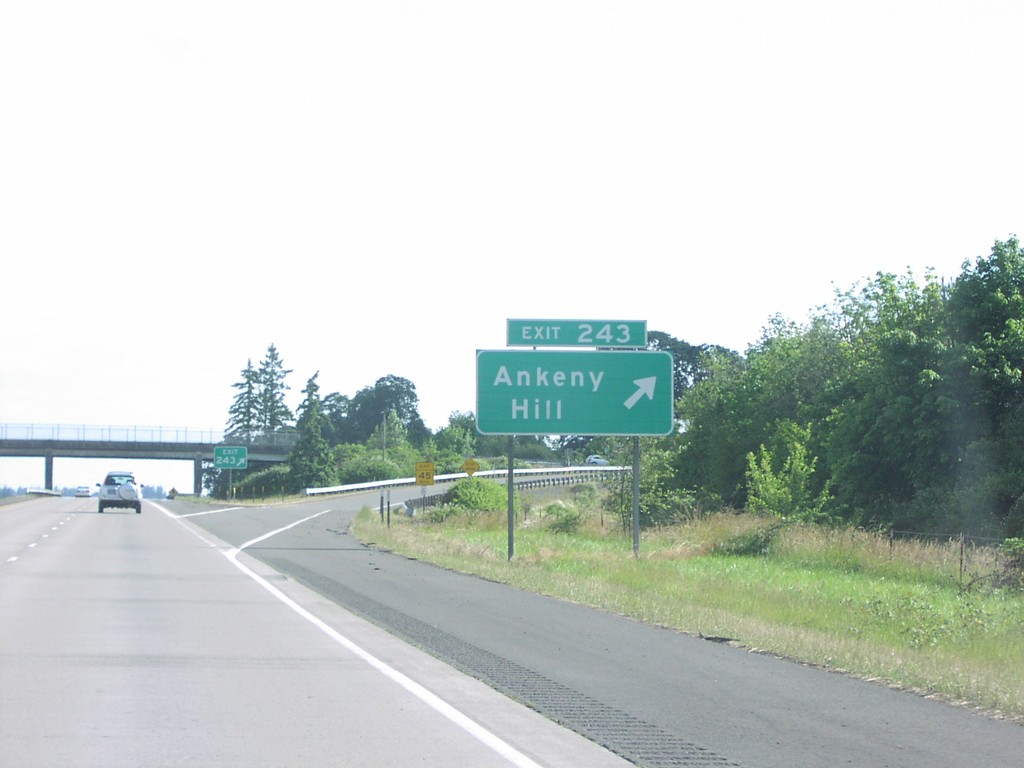
I-5 North Exit 243
I-5 north at Exit 243, Ankeny Hill.
Taken 06-01-2006
Jefferson
Marion County
Oregon
United States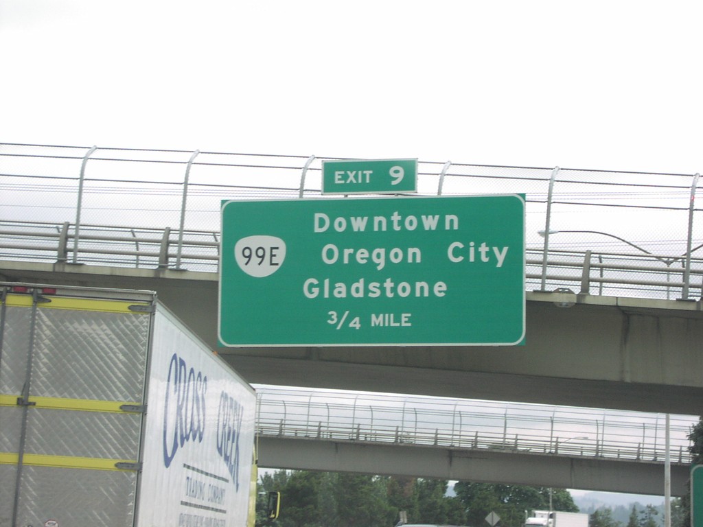
I-205 North Exit 9
I-205 north approaching Exit 9, OR-99E/Downtown Oregon City/Gladstone, 3/4 mile.
Taken 06-01-2006
 West Linn
Clackamas County
Oregon
United States
West Linn
Clackamas County
Oregon
United States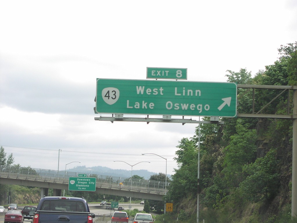
I-205 North Exit 8
I-205 north at Exit 8, OR-43/West Linn/Lake Oswego
Taken 06-01-2006
 West Linn
Clackamas County
Oregon
United States
West Linn
Clackamas County
Oregon
United States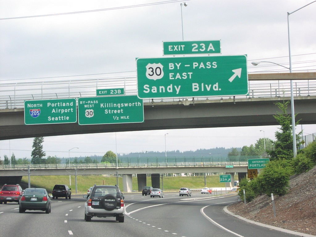
I-205 North Exit 23AB
I-205 north at Exit 23A, US-30 Bypass East/Sandy Blvd.
Taken 06-01-2006
Portland
Multnomah County
Oregon
United States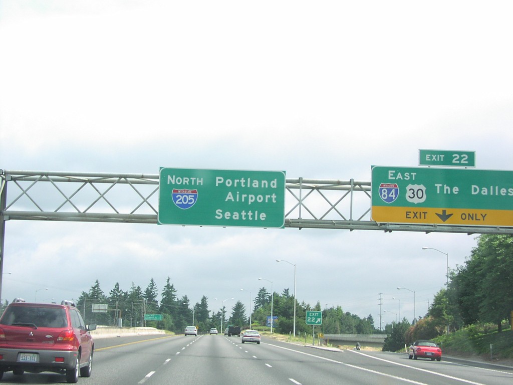
I-205 North Exit 22
I-205 north at Exit 22, I-84/US-30 East/The Dalles, and I-205 overhead to Portland Airport/Seattle.
Taken 06-01-2006
Portland
Multnomah County
Oregon
United States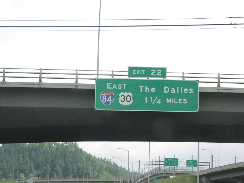
I-205 North Exit 22
I-205 north approaching Exit 22, I-84/US-30 East/The Dalles, 1 1/4 miles.
Taken 06-01-2006
Portland
Multnomah County
Oregon
United States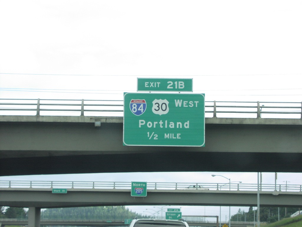
I-205 North Exit 21B
I-205 north approaching Exit 21B, I-84/US-30 West/Portland, 1/2 mile.
Taken 06-01-2006
Portland
Multnomah County
Oregon
United States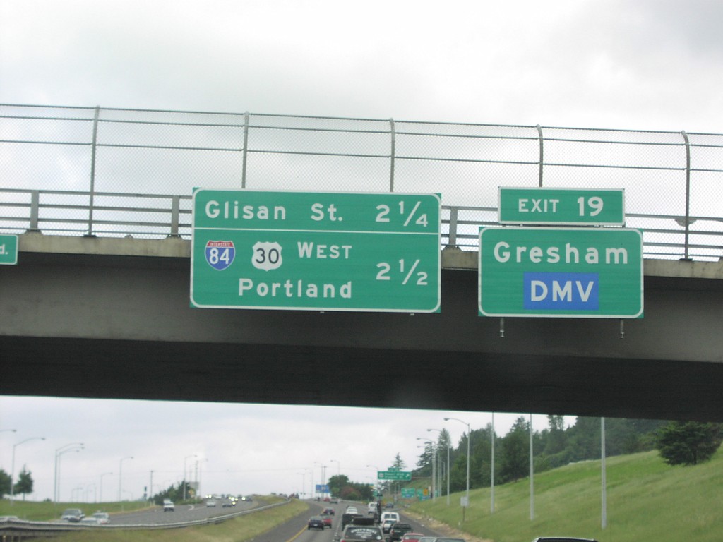
I-205 North Exit 19
I-205 north approaching Exit 9, Powell St. Overhead for next 2 exits, Glisan St and I-84.
Taken 06-01-2006
Portland
Multnomah County
Oregon
United States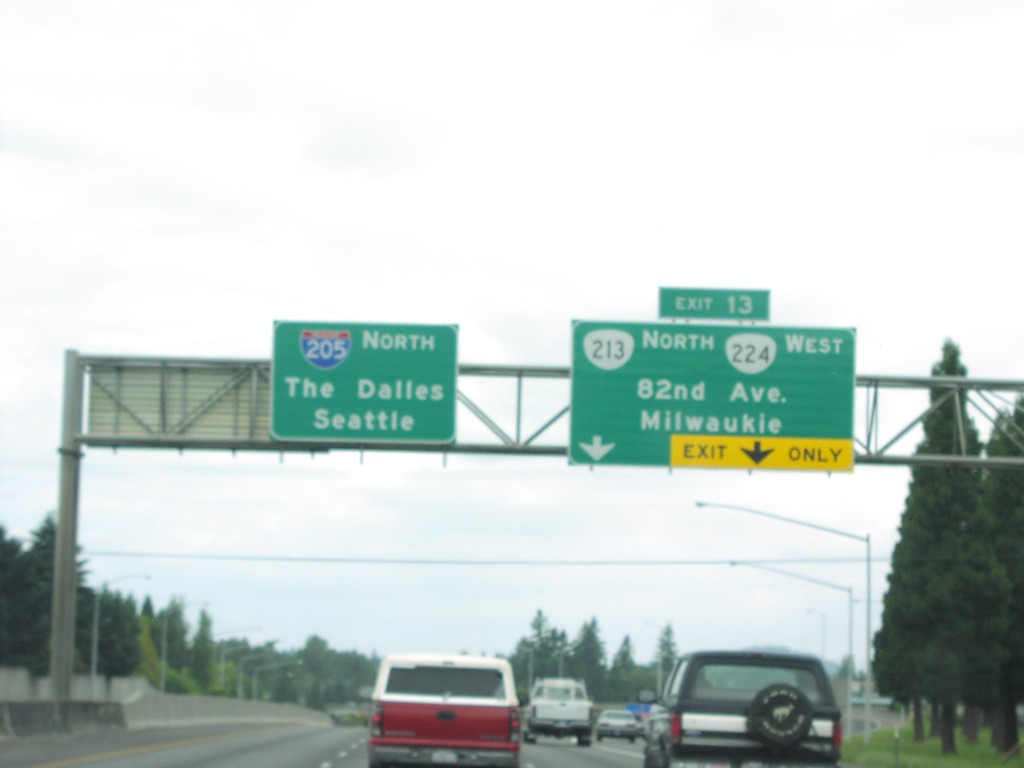
I-205 North Exit 13
I-205 north at Exit 13, OR-213/OR-224/82nd Ave/Milwaukee.
Taken 06-01-2006

 Clackamas
 County
Oregon
United States
Clackamas
Clackamas County
Oregon
United States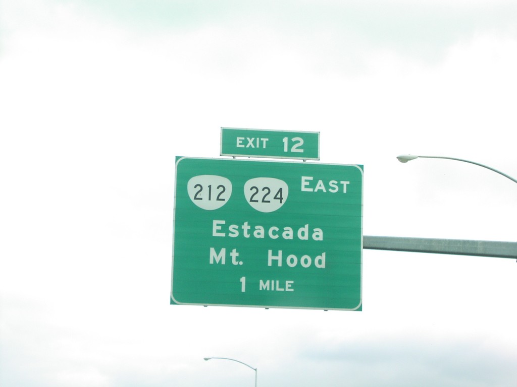
I-205 North Exit 12
I-205 north approaching Exit 12, OR-212/OR-224/Estacada/Mt. Hood.
Taken 06-01-2006
 Clackamas
 County
Oregon
United States
Clackamas
Clackamas County
Oregon
United States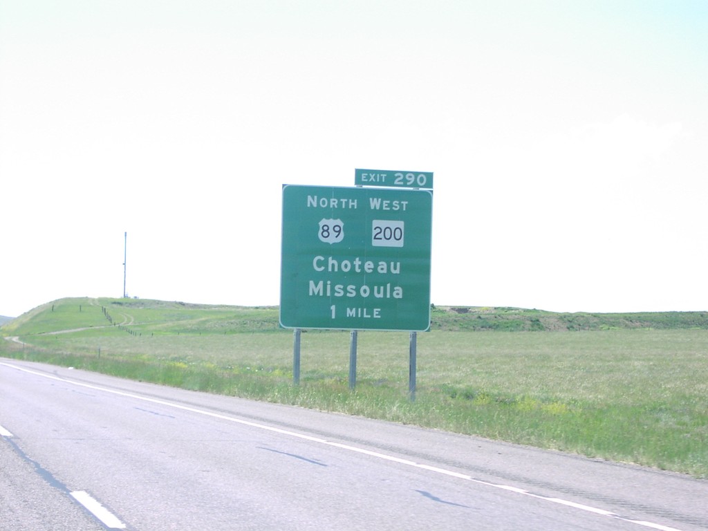
I-15 North - Exit 290
I-15 north approaching Exit 290 - US-89 North/MT-200 West/Choteau/Missoula.
Taken 06-01-2006

 Power
Cascade County
Montana
United States
Power
Cascade County
Montana
United States