Signs Tagged With Big Green Sign
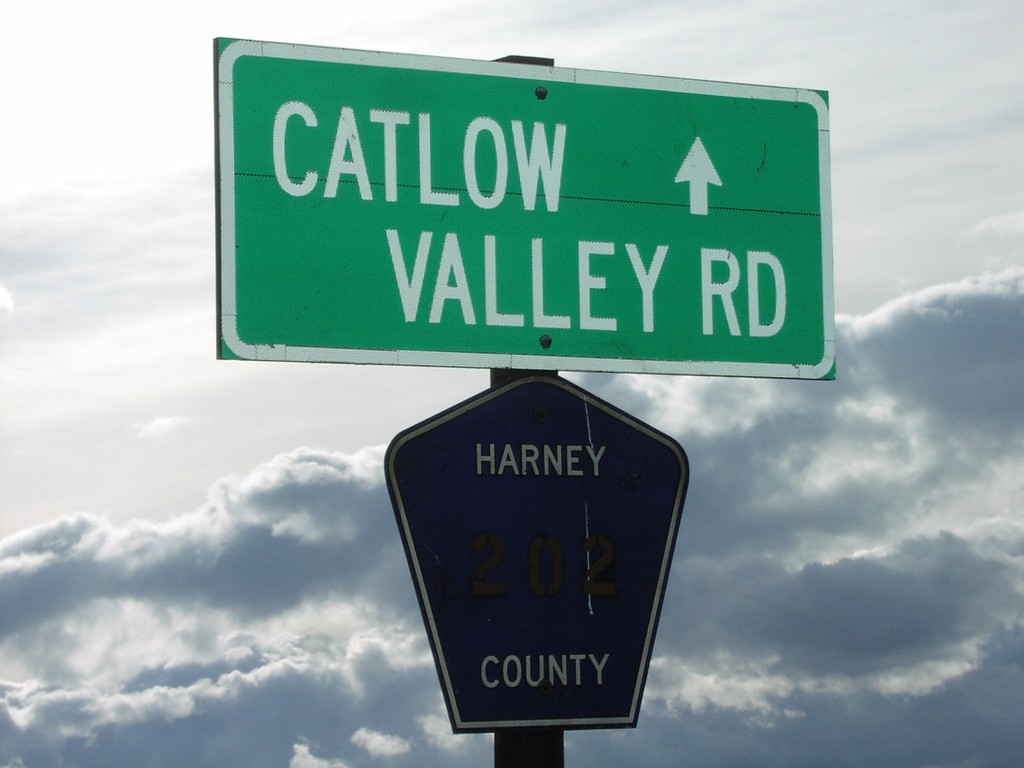
End OR-205 Begin CR-202 Catlow Valley Rd
End OR-205/Begin CR-202/Catlow Valley Road
Taken 11-11-2005
 Harney County
Oregon
United States
Harney County
Oregon
United States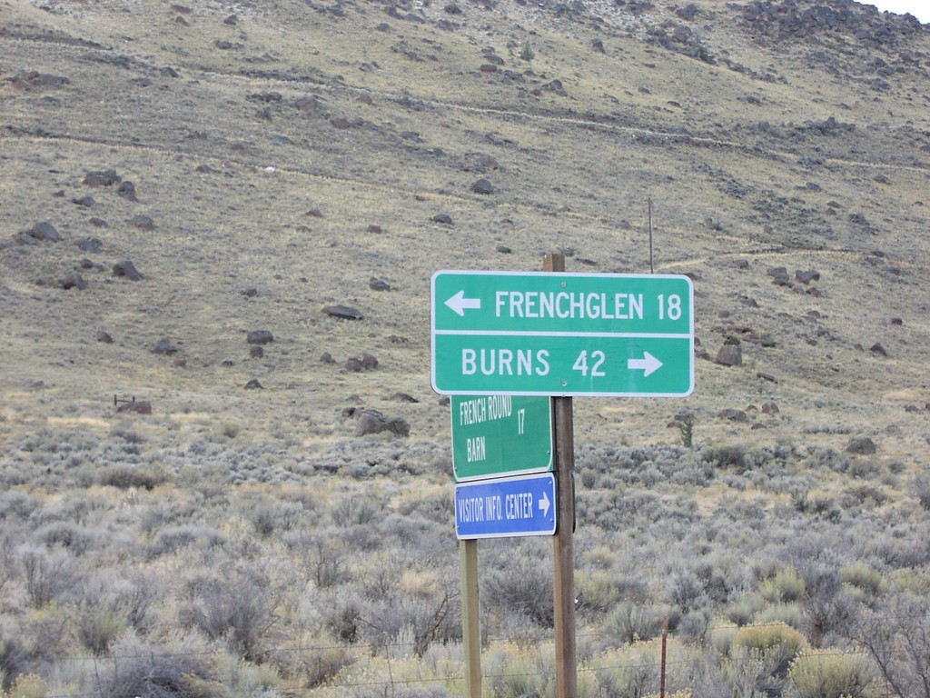
Diamond-Grain Camp Rd at OR-205
End CR-409 at OR-205 to Frenchglen and Burns
Taken 11-11-2005
Diamond
Harney County
Oregon
United States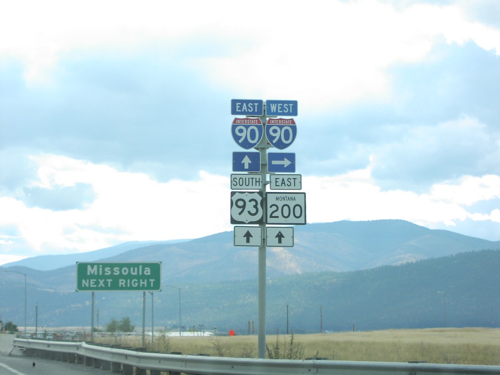
US-93 South/MT-200 East At I-90
US-93 South/MT-200 East at I-90. Turn right for I-90 West; proceed over freeway for I-90 East/US-93/MT-200 East to Missoula.
Taken 09-11-2005


 Missoula
 County
Montana
United States
Missoula
Missoula County
Montana
United States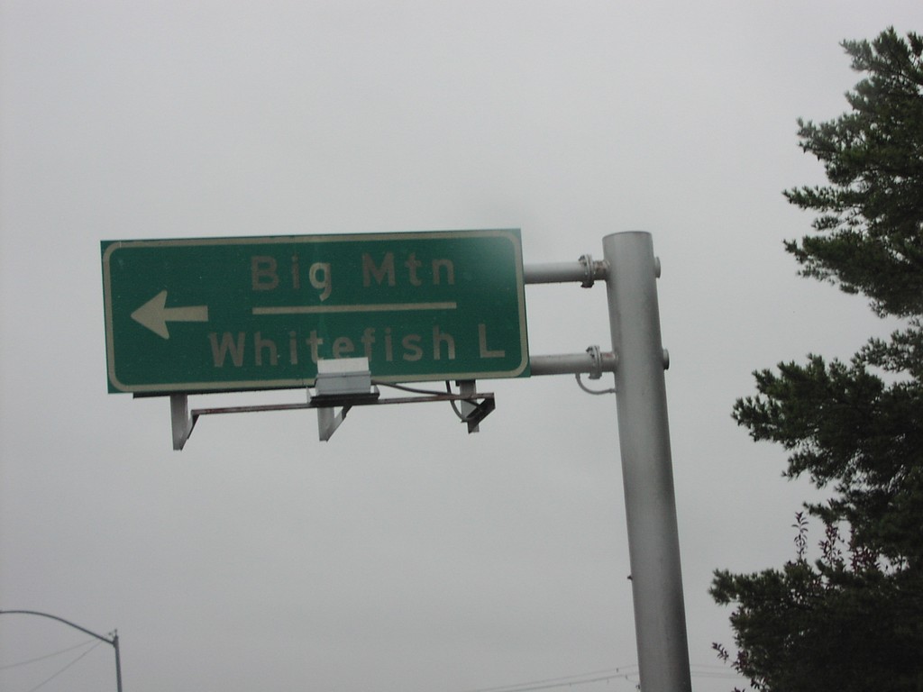
US-93 South at MTS-487
US-93 south at MTS-487 north to Big Mountain (Ski Area) and Whitefish Lake.
Taken 09-11-2005
 Whitefish
Flathead County
Montana
United States
Whitefish
Flathead County
Montana
United States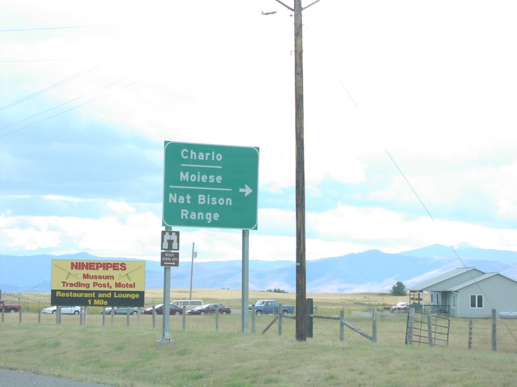
US-93 South At MTS-212
US-93 South at MTS-212 west to Moiese, Charlo, and the National Bison Range.
Taken 09-11-2005
 Charlo
Lake County
Montana
United States
Charlo
Lake County
Montana
United States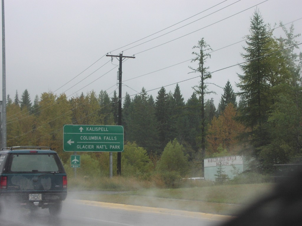
US-93 South At MT-40
US-93 south at MT-40 east to Columbia Falls and Glacier National Park. Continue south on US-93 for Kalispell.
Taken 09-11-2005
 Whitefish
Flathead County
Montana
United States
Whitefish
Flathead County
Montana
United States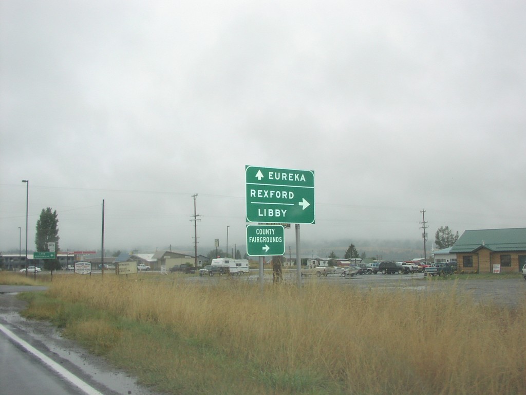
US-93 South At MT-37
US-93 south at MT-37 south to Rexford and Libby. Continue south on US-93 for Eureka.
Taken 09-11-2005
 Eureka
Lincoln County
Montana
United States
Eureka
Lincoln County
Montana
United States
US-93 South At MT-200
US-93 south at MT-200. Use MT-200 West for National Bison Range and Thompson Falls. Use US-93 South/MT-200 East to Missoula. MT-200 East joins US-93 south to Missoula.
Taken 09-11-2005
Ravalli
Lake County
Montana
United States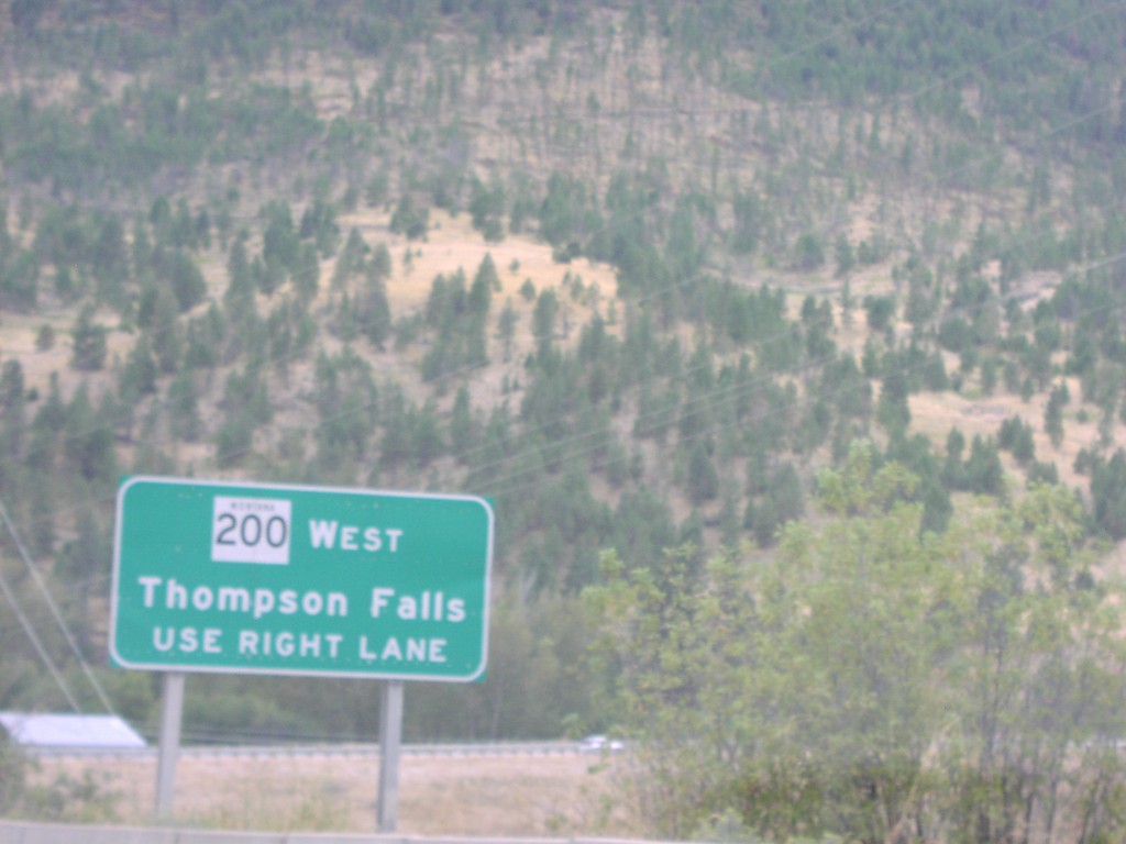
US-93 South Approaching MT-200 West
US-93 south approaching MT-200. For MT-200 West to Thompson Falls, use right lane.
Taken 09-11-2005
Ravalli
Lake County
Montana
United States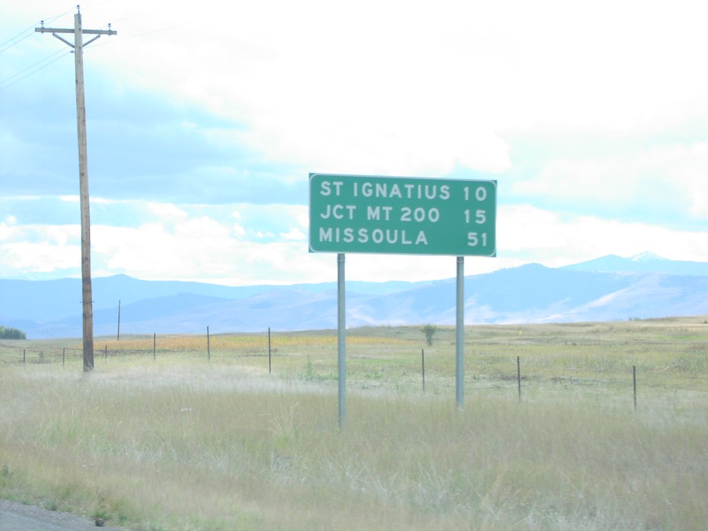
US-93 South - Distance Marker
Distance marker on US-93 south in Lake County. Distance to St. Ignatius, Jct. MT-200, and Missoula.
Taken 09-11-2005
Saint Ignatius
Lake County
Montana
United States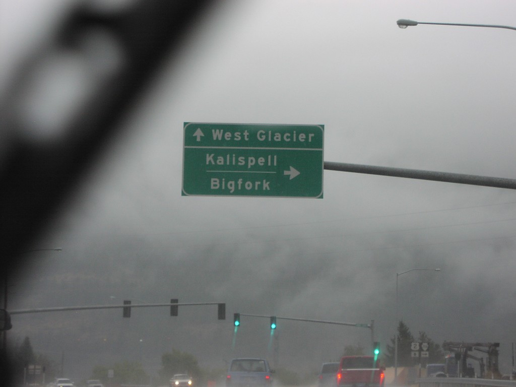
US-2 East at MTS-206 South
US-2 east at MTS-206 south to Kalispell and Bigfork. Continue east on US-2 to West Glacier.
Taken 09-11-2005

 Columbia Falls
Flathead County
Montana
United States
Columbia Falls
Flathead County
Montana
United States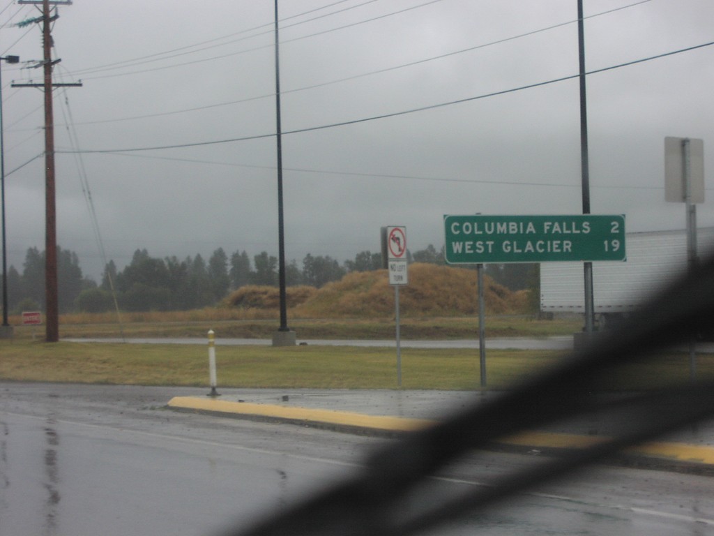
US-2 East - Distance Marker
Distance marker on US-2 east to Columbia Falls and West Glacier
Taken 09-11-2005
Columbia Falls
Flathead County
Montana
United States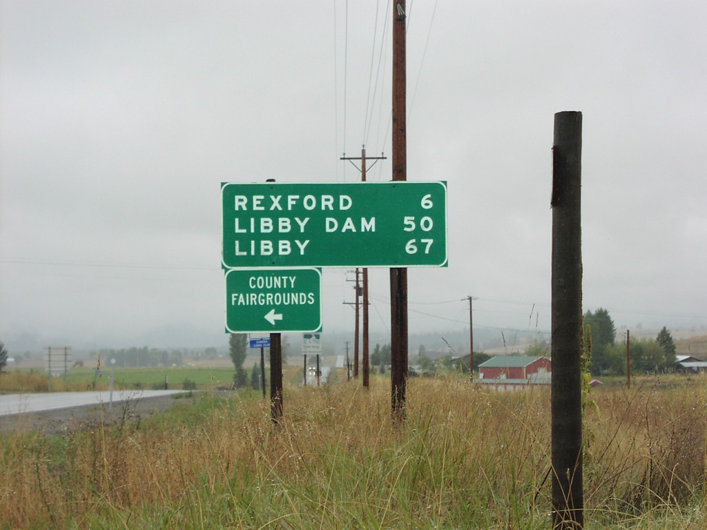
MT-37 South Distance Marker
Distance marker to Rexford, Libby, and Libby Dam at northern beginning of MT-37
Taken 09-11-2005
Eureka
Lincoln County
Montana
United States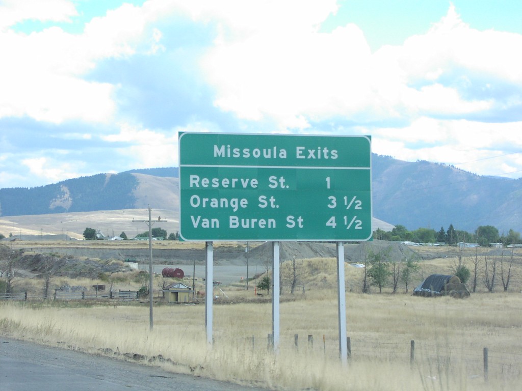
I-90 East - Missoula Exits
I-90 East - Missoula Exits: Reserve St., Orange St., Van Buren St.
Taken 09-11-2005
Missoula
Missoula County
Montana
United States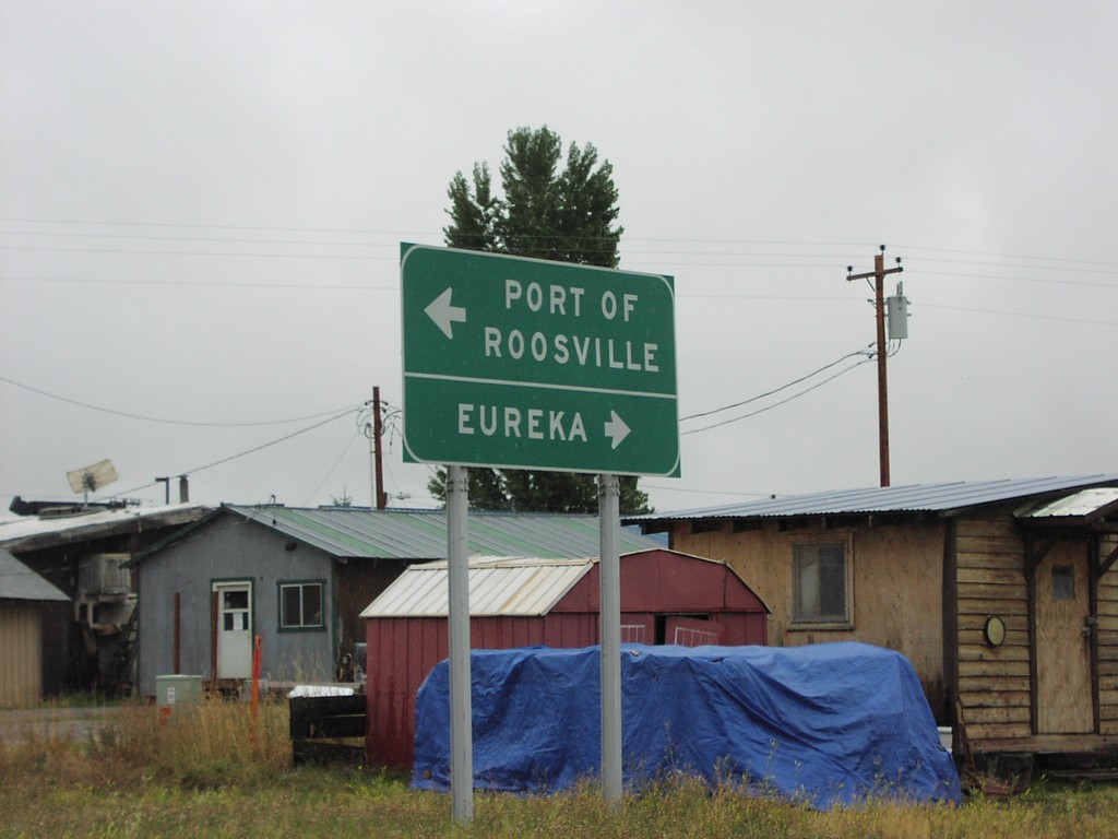
End MT-37 North at US-93
End MT-37 North at US-93. Turn left for US-93 north to the Port of Roosville (Canadian Border). Turn right for US-93 south to Eureka.
Taken 09-11-2005
Eureka
Lincoln County
Montana
United States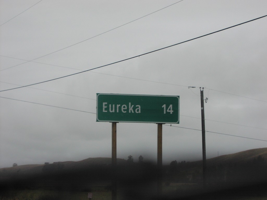
Distance Marker on BC-93 South
Distance marker to Eureka, Montana on BC-93 south
Taken 09-11-2005
 Roosville
East Kootenay
British Columbia
Canada
Roosville
East Kootenay
British Columbia
Canada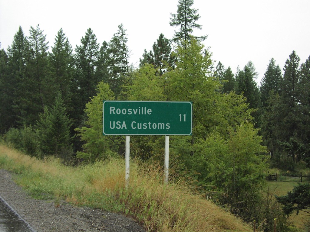
Distance Marker on BC-93 South
Distance marker to Roosville and US Border on BC-93 south
Taken 09-11-2005
Grasmere
East Kootenay
British Columbia
Canada
Distance Marker on BC-3 West
Distance marker to Cranbrook and Trail on BC-3 east. 100 km/h sign in background.
Taken 09-11-2005
 Elko
East Kootenay
British Columbia
Canada
Elko
East Kootenay
British Columbia
Canada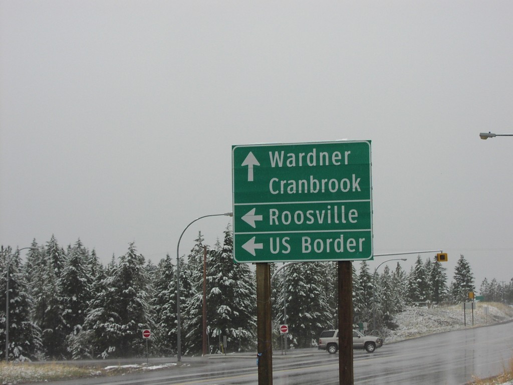
BC-3 West BC-93 South Jct.
BC-93 south to Roosville and US Border on BC-3 west
Taken 09-11-2005
Elko
East Kootenay
British Columbia
Canada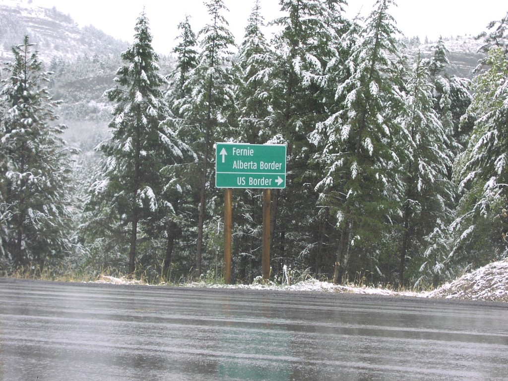
BC-3 East BC-93 South Jct.
BC-3 east at BC-93 south to US Border
Taken 09-11-2005
Elko
East Kootenay
British Columbia
Canada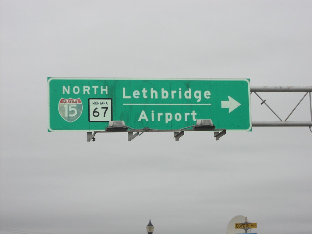
US-2 West at BL-15/MT-67
US-2 west at BL-15/MT-67 north to Lethbridge and the Shelby Airport. The I-15 shield is incorrectly displayed on this overhead as I-15.
Taken 09-10-2005
 Shelby
Toole County
Montana
United States
Shelby
Toole County
Montana
United States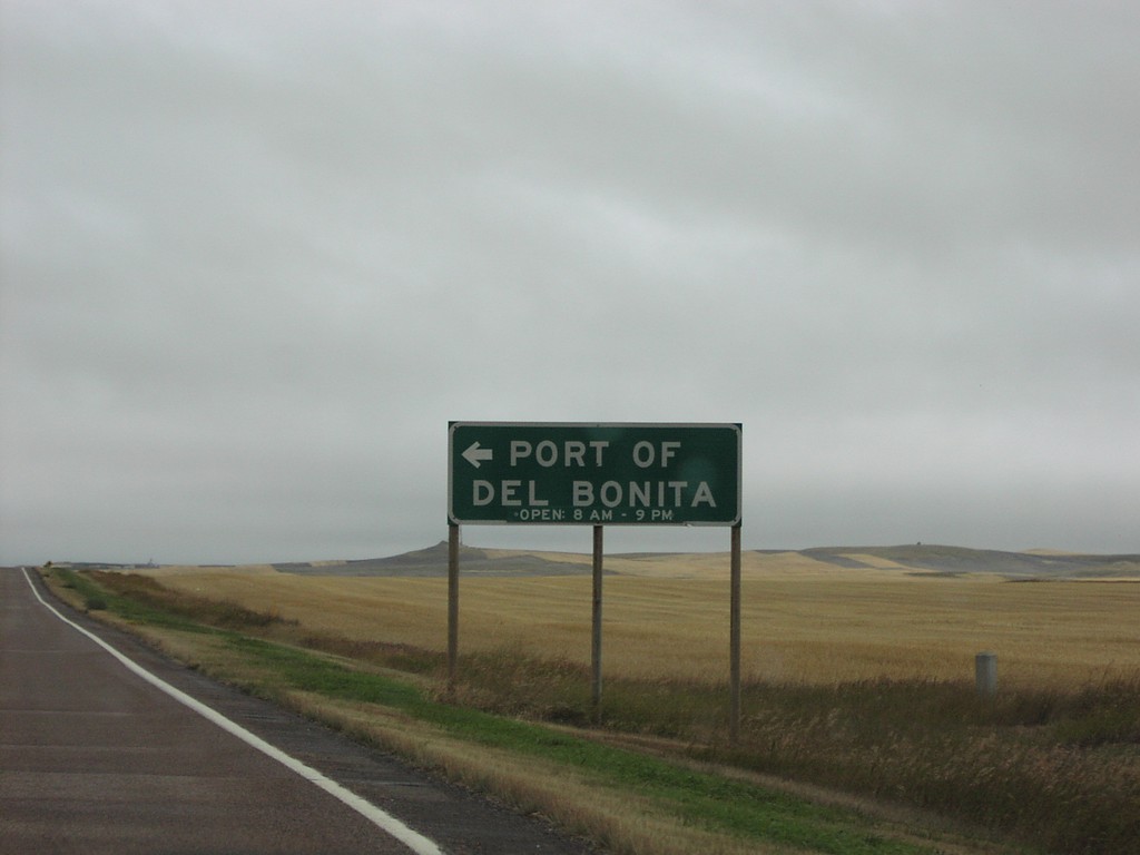
MTS-213/MTS-214 North at MTS-214 to Port Of Del Bonita
MTS-213/MTS-214 junction to Port of Del Bonita
Taken 09-10-2005

 Cut Bank
Glacier County
Montana
United States
Cut Bank
Glacier County
Montana
United States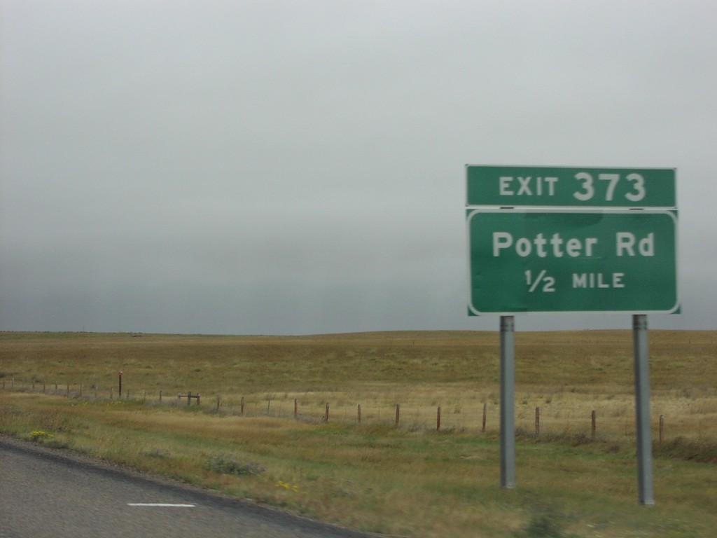
I-15 North Exit 373
I-15 north at Exit 373, Potter Road
Taken 09-10-2005
 Oilmont
Toole County
Montana
United States
Oilmont
Toole County
Montana
United States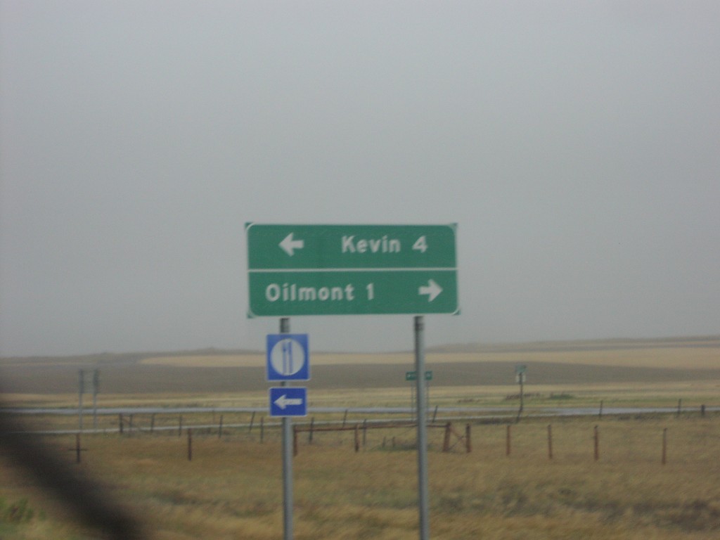
I-15 Exit 379 - MTS-215 and MTS-343
I-15 Exit 379 offramp. Turn right for MTS-215 to Kevin; turn right for MTS-343 to Oilmont.
Taken 09-10-2005

 Oilmont
Toole County
Montana
United States
Oilmont
Toole County
Montana
United States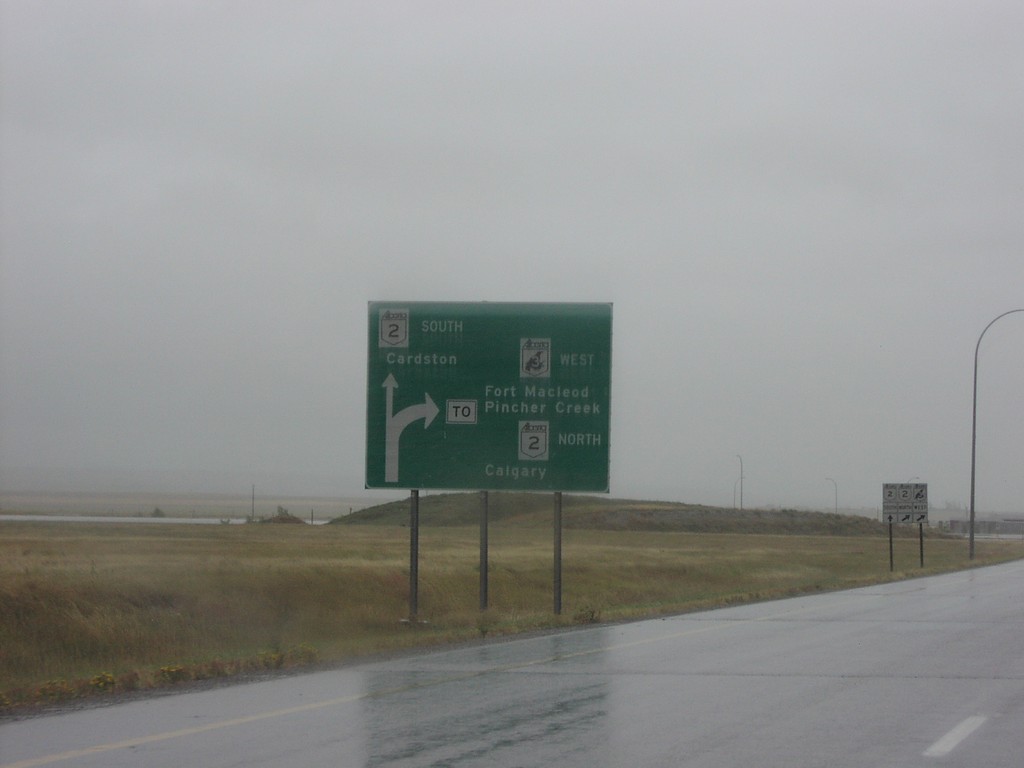
Fort Macleod Route Diagram on AB-3 West
Diagram on AB-3 west approaching AB-2 south to Cardston, and AB-3/AB-2 north to
Taken 09-10-2005

 Fort Macleod
Willow Creek No. 26
Alberta
Canada
Fort Macleod
Willow Creek No. 26
Alberta
Canada