Signs Tagged With Big Green Sign
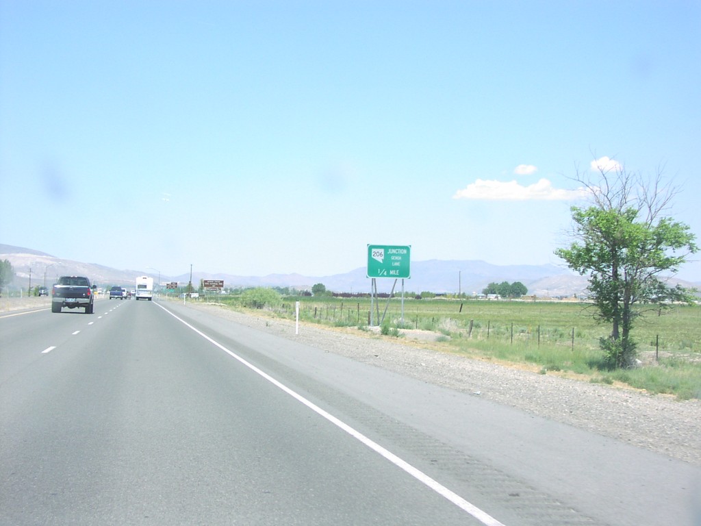
US-395 North at NV-206
US-395 North at NV-206/Genoa Lane Junction
Taken 07-01-2004

 Minden
Douglas County
Nevada
United States
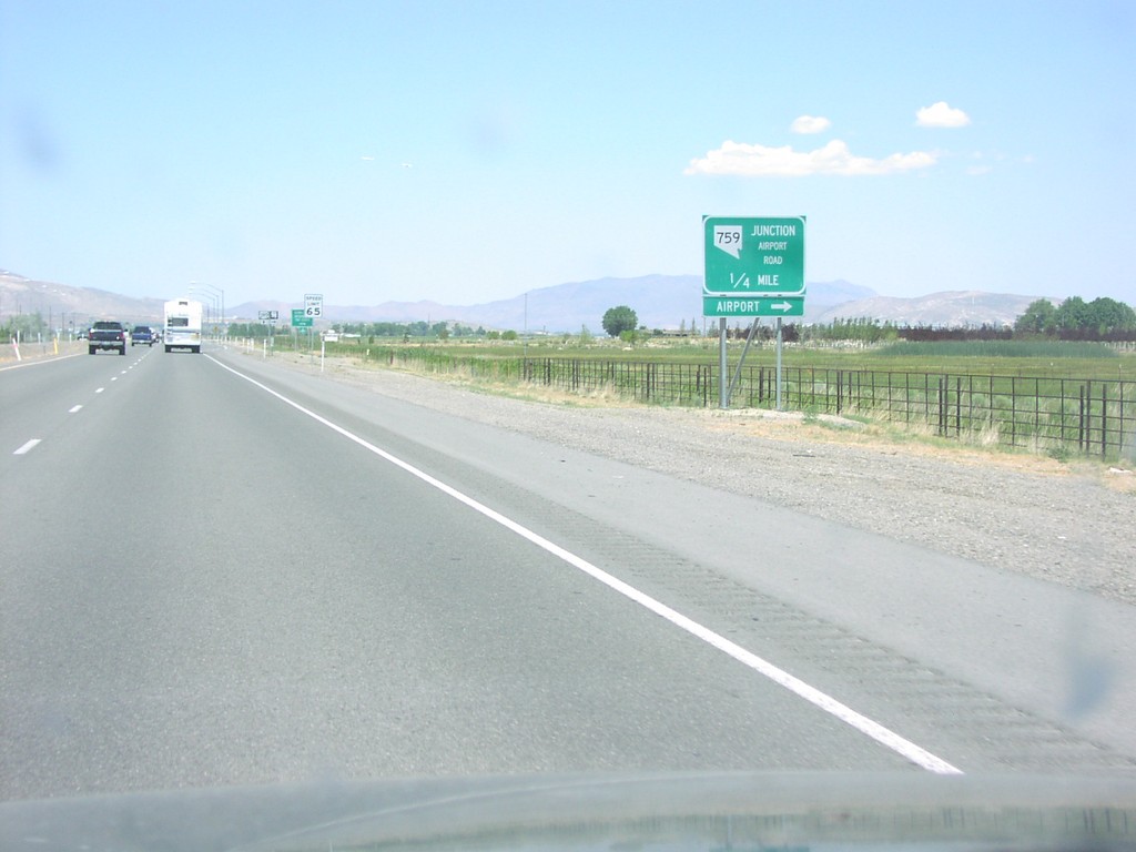
US-395 North Approaching NV-759
US-395 north approaching NV-759/Airport Road. Use NV-759 east for the Minden-Tahoe Airport.
Taken 07-01-2004

 Minden
Douglas County
Nevada
United States
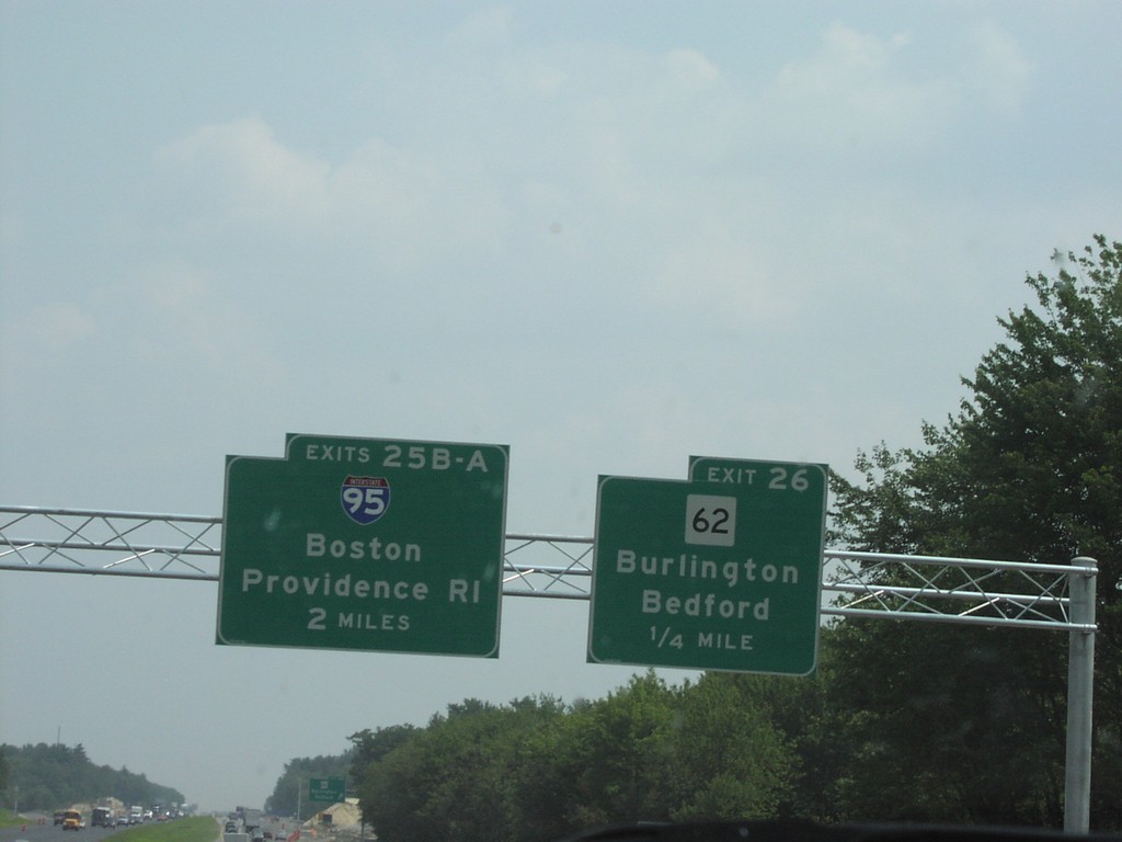
US-3 South Exits 25AB (I-95) and 26
US-3 South at Exit 26, MA-62 Junction, and Exits 25B-A to Boston, and Providence
Taken 07-01-2004


 Bedford
Middlesex County
Massachusetts
United States
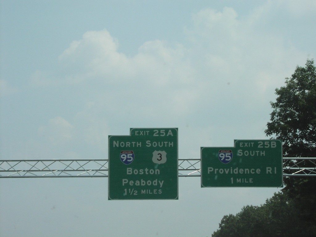
US-3 South Exits 25AB (I-95 Jct.)
US-3 South at I-95 Junction to Boston, and Providence, in Lexington
Taken 07-01-2004

 Burlington
Middlesex County
Massachusetts
United States
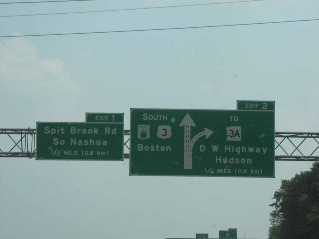
US-3 South Exits 1 and 2
US-3 South/Everett Turnpike at NH-3A Junction
Taken 07-01-2004

 Nashua
Hillsborough County
New Hampshire
United States
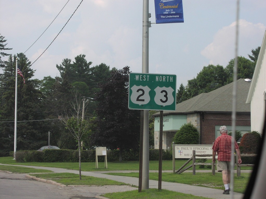
US-2 West/US-3 North in Lancaster
US-2 West/US-3 North Shields in
Taken 07-01-2004

 Lancaster
Coos County
New Hampshire
United States
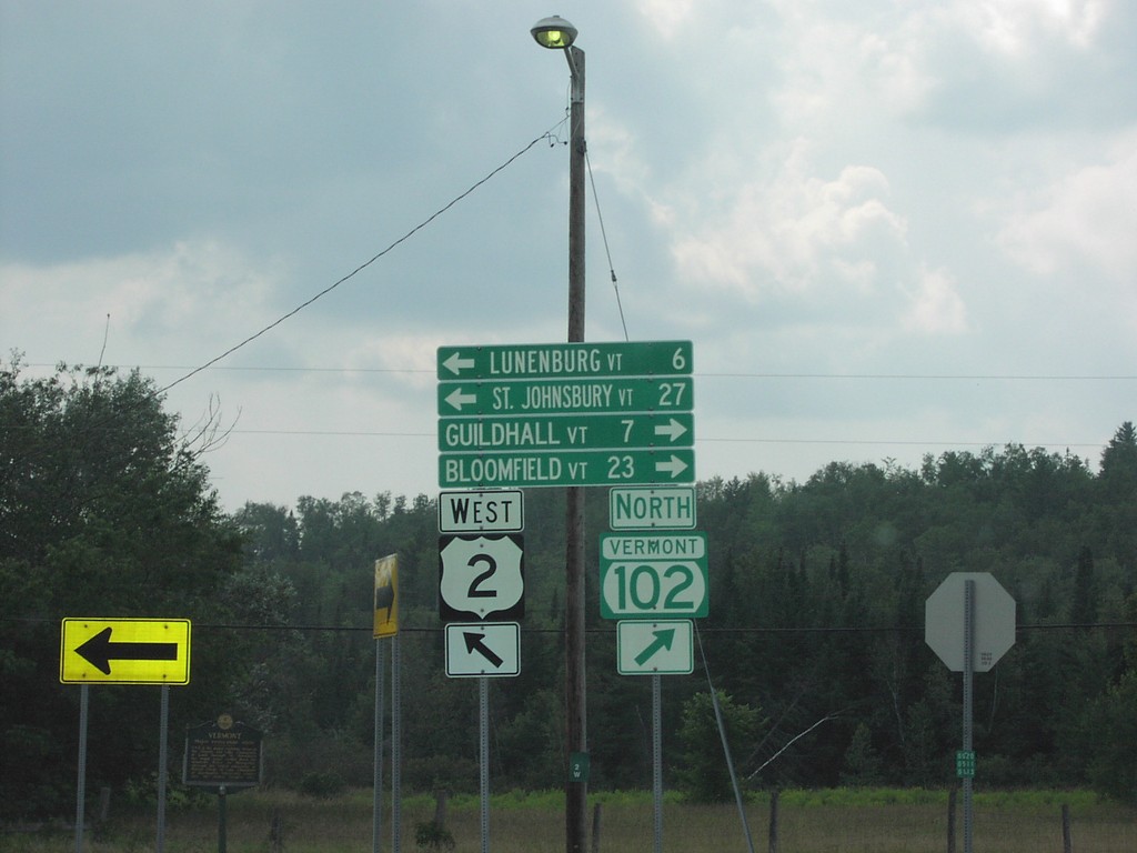
US-2 West at VT-102 North
US-2/VT-102 Junction
Taken 07-01-2004

 Guildhall
Essex County
Vermont
United States
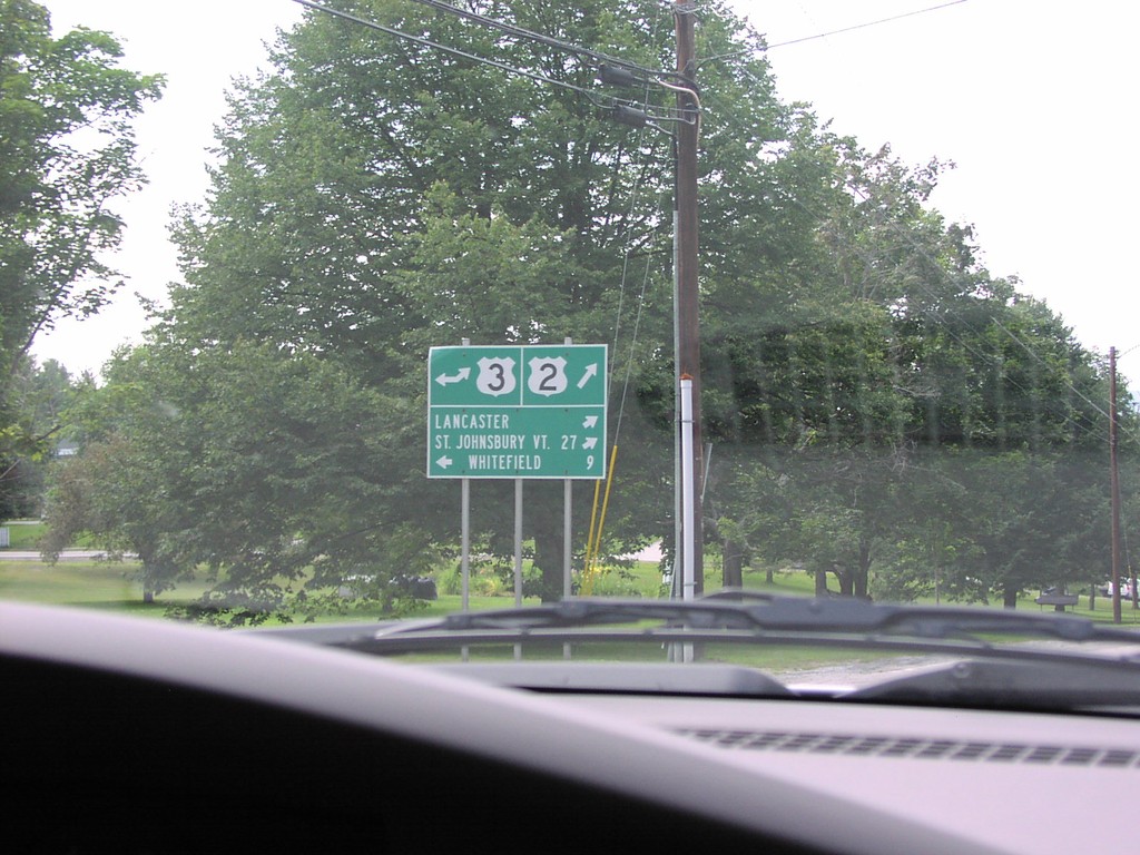
US-2 West at US-3 South
US-2 West at US-3 Junction to St. Johnsbury and Whitefield
Taken 07-01-2004

 Lancaster
Coos County
New Hampshire
United States
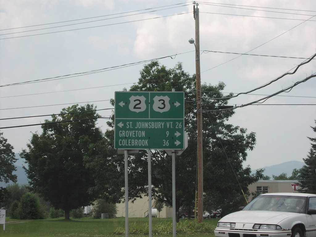
US-2 West at US-3 North
US-2 West/US-3 North Junction in
Taken 07-01-2004

 Lancaster
Coos County
New Hampshire
United States
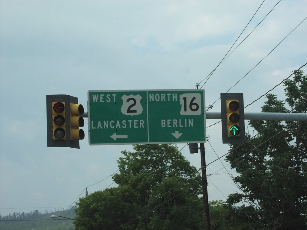
US-2 West at NH-16 North
US-2 West at NH-16 North Junction Overhead in Gorham
Taken 07-01-2004

 Gorham
Coos County
New Hampshire
United States
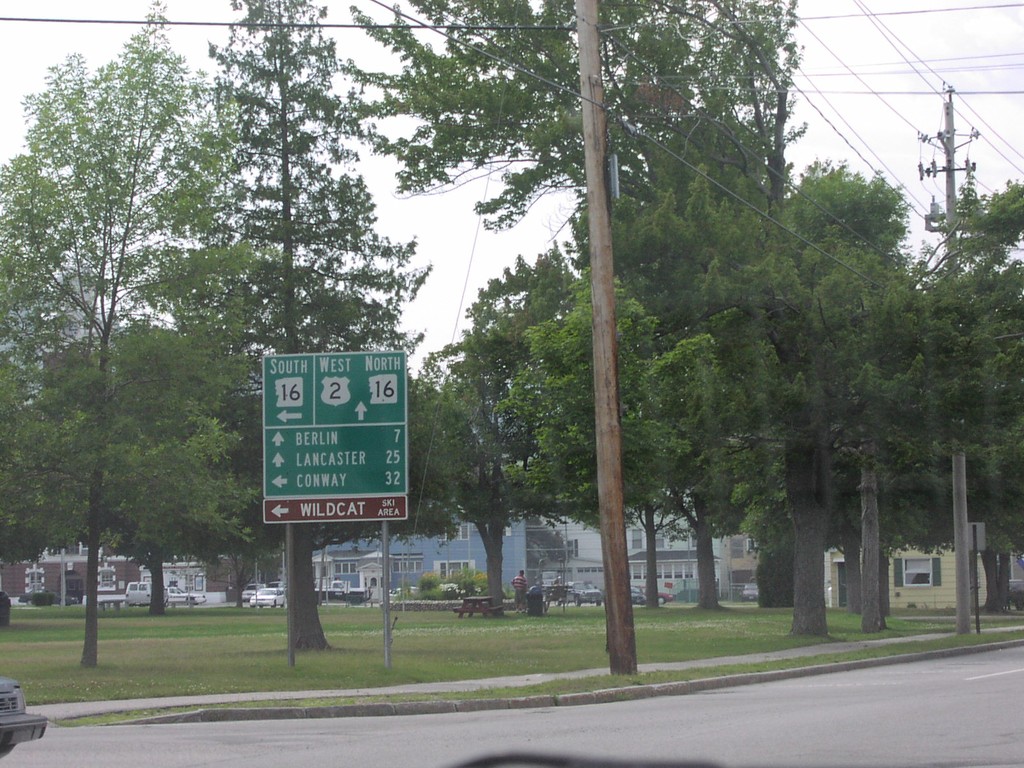
US-2 West at NH-16
US-2 West at NH-16 Junction to Berlin, Lancaster, and Conway
Taken 07-01-2004

 Gorham
Coos County
New Hampshire
United States
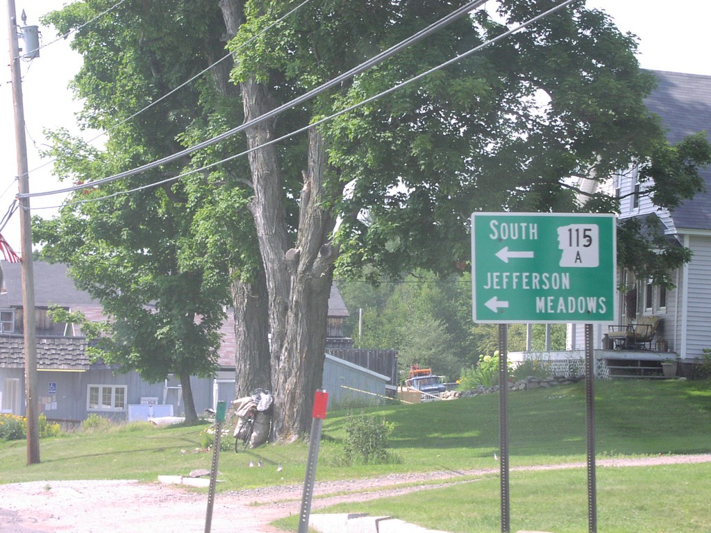
US-2 West at NH-115A South
US-2 West at NH-115A South To Jefferson Meadows
Taken 07-01-2004

 Jefferson
Coos County
New Hampshire
United States
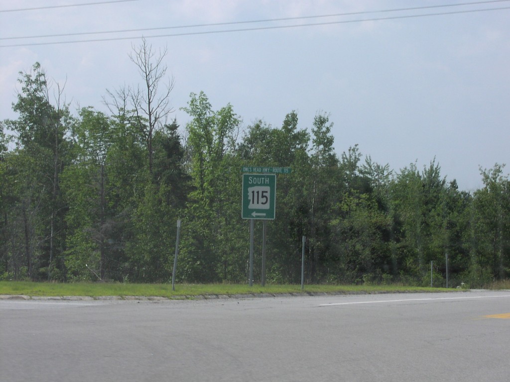
US-2 West at NH-115 South
US-2 West at NH-115 South Junction
Taken 07-01-2004

 Jefferson
Coos County
New Hampshire
United States
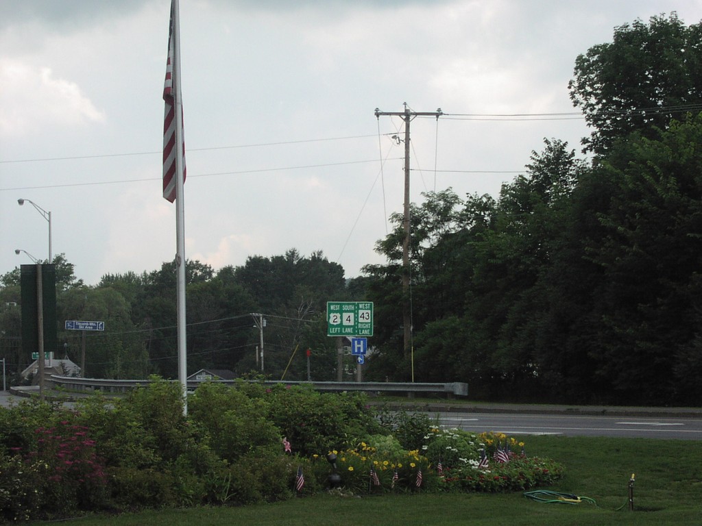
US-2 West at MT-4/ME-43
US-2 West at ME-4 South and ME-43 West Junction
Taken 07-01-2004


 Farmington
Franklin County
Maine
United States
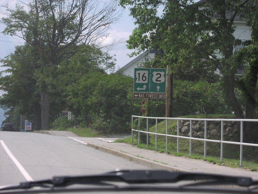
US-2 West approaching NH-16 South
US-2 West at NH-16
Taken 07-01-2004

 Gorham
Coos County
New Hampshire
United States
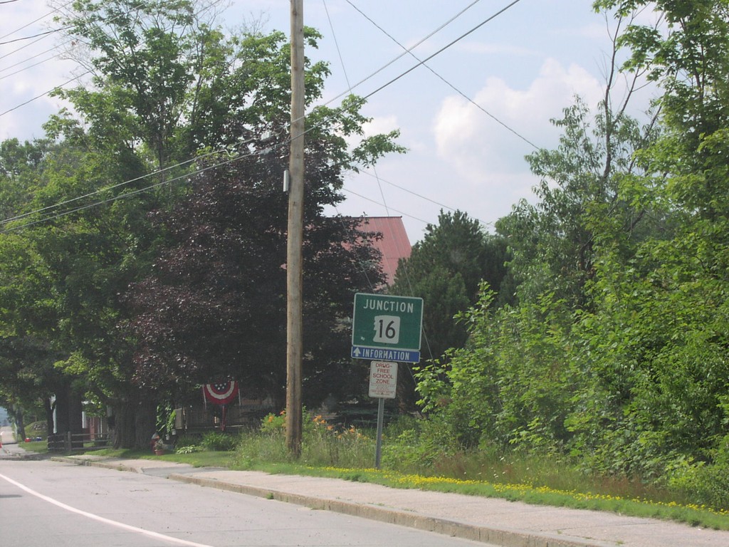
US-2 West Approaching NH-16
US-2 West At NH-16 Junction
Taken 07-01-2004

 Gorham
Coos County
New Hampshire
United States
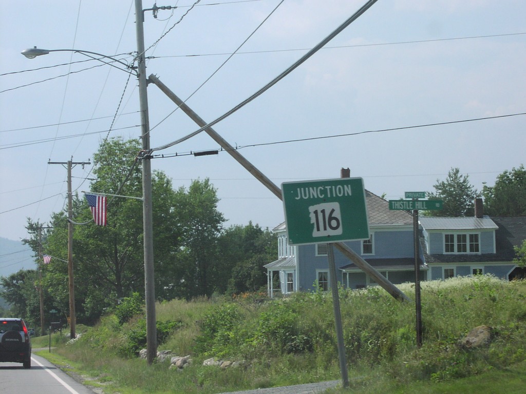
US-2 West Approaching NH-116
US-2 West at NH-116 South Junction
Taken 07-01-2004

 Jefferson
Coos County
New Hampshire
United States
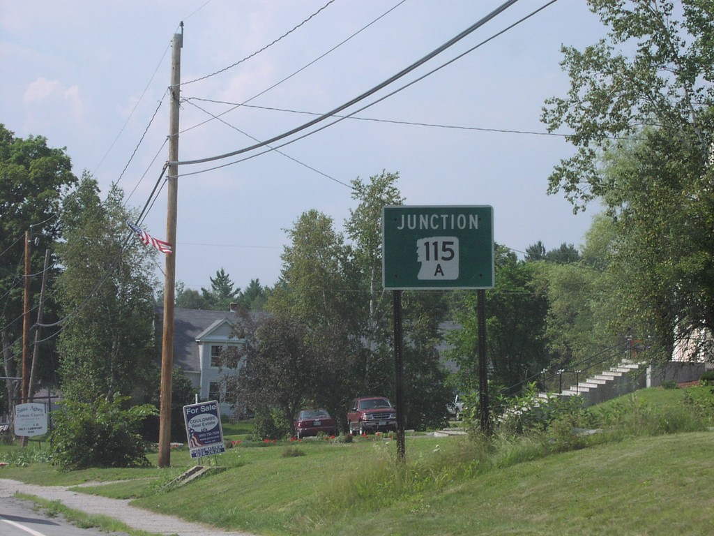
US-2 West Approaching NH-115A
US-2 West at NH-115A South Junction in Jefferson
Taken 07-01-2004

 Jefferson
Coos County
New Hampshire
United States
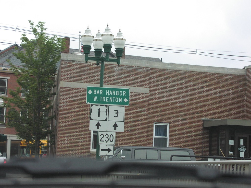
US-1 North/ME-3 South at MT-230
US-1 North/ME-3 South at ME-230 Junction
Taken 07-01-2004


 Ellsworth
Hancock County
Maine
United States
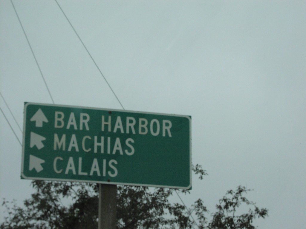
US-1 North at ME-3 South
US-1 North/ME-3 South Junction to Bar Harbor and Calais, in Ellsworth
Taken 07-01-2004

 Ellsworth
Hancock County
Maine
United States
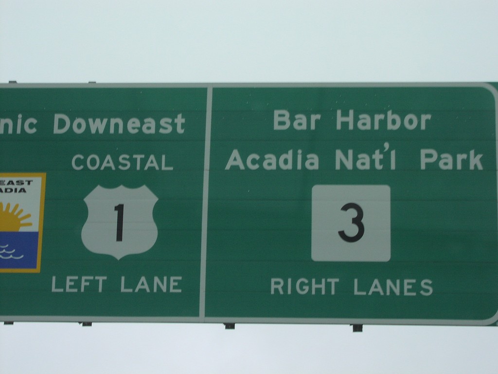
US-1 North at ME-3 East
Coastal US-1/ME-3 Junction Closeup
Taken 07-01-2004

 Ellsworth
Hancock County
Maine
United States
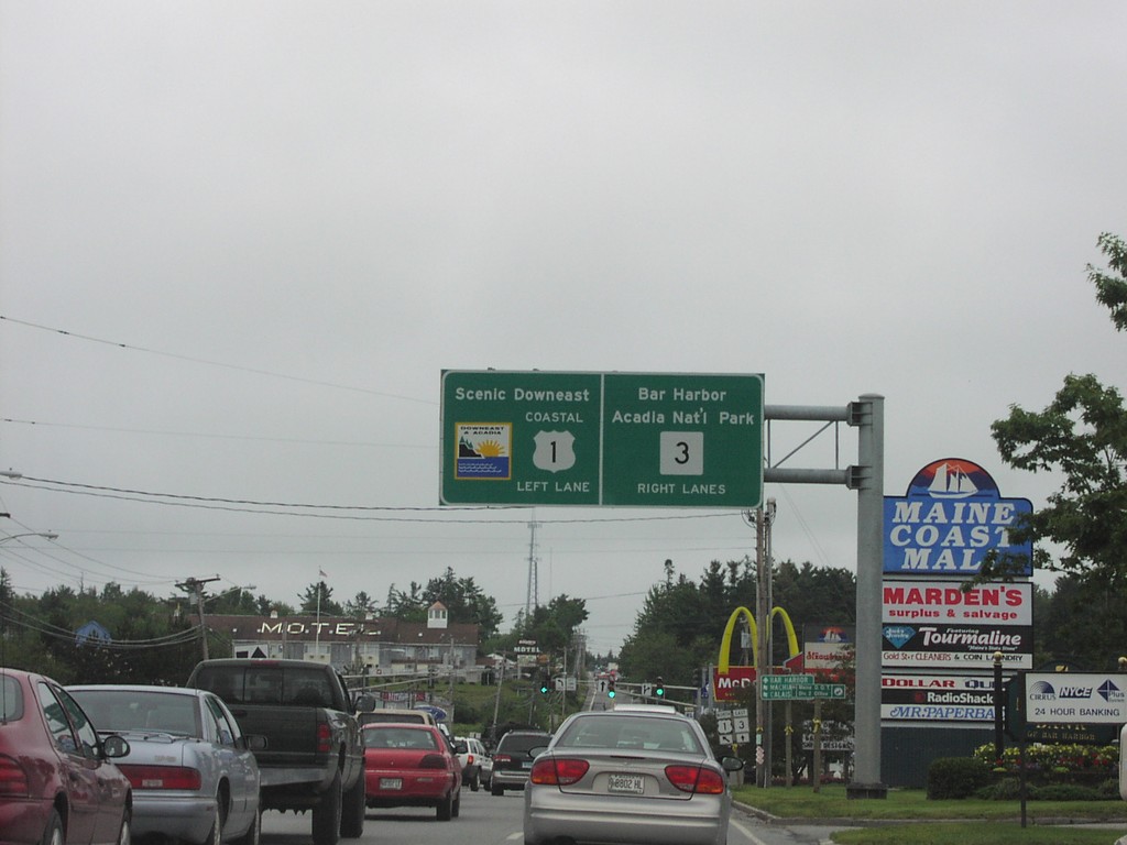
US-1 North at ME-3
Coastal US-1/ME-3 Junction to Downeast Maine and Bar Harbor
Taken 07-01-2004

 Ellsworth
Hancock County
Maine
United States
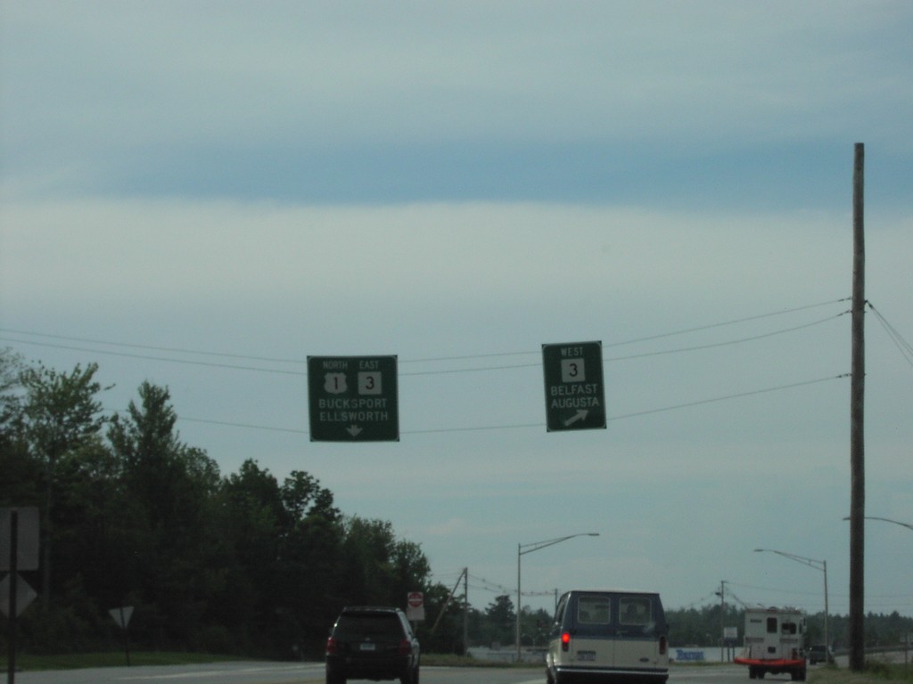
US-1 North at ME-3
US-1 North at ME-3 Junction to Augusta, in Belfast
Taken 07-01-2004

 Belfast
Waldo County
Maine
United States
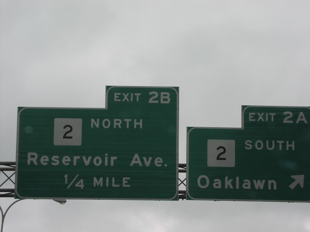
RI-37 East Exits 2AB
RI-37 East at Exits 2AB, RI-2 Junction
Taken 07-01-2004

 Cranston
Providence County
Rhode Island
United States
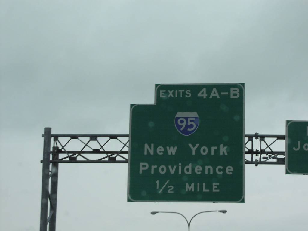
RI-37 East at Exits4AB - I-95 Jct.
RI-37 East at I-95 Junction to New York and Providence
Taken 07-01-2004

 Cranston
Providence County
Rhode Island
United States