Signs Tagged With Big Green Sign
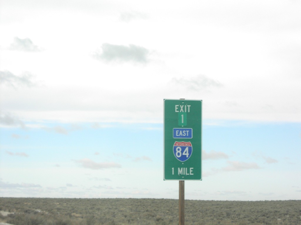
I-86 West at I-84
I-86 west at Exit 1, I-84 east
Taken 01-15-2006


 Declo
Cassia County
Idaho
United States
Declo
Cassia County
Idaho
United States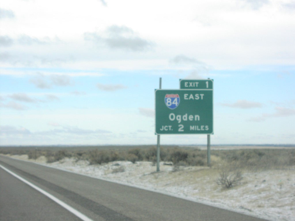
I-86 West Approaching I-84
I-84 east to Ogden, 2 Miles on I-86 west
Taken 01-15-2006
Cotterel
Cassia County
Idaho
United States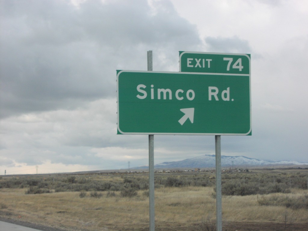
I-84 West Exit 74
I-84 west at Exit 74, Simco Road
Taken 01-15-2006

 Mountain Home
Elmore County
Idaho
United States
Mountain Home
Elmore County
Idaho
United States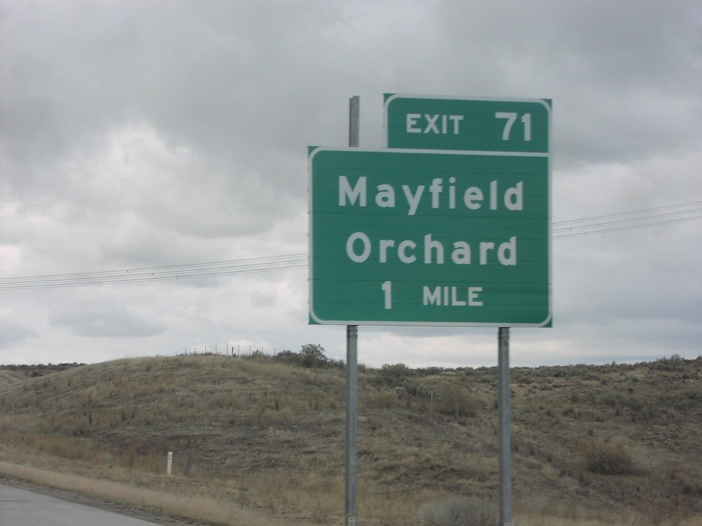
I-84 West Exit 71
I-84 west at Exit 71, Mayfield/Orchard
Taken 01-15-2006
Regina
Ada County
Idaho
United States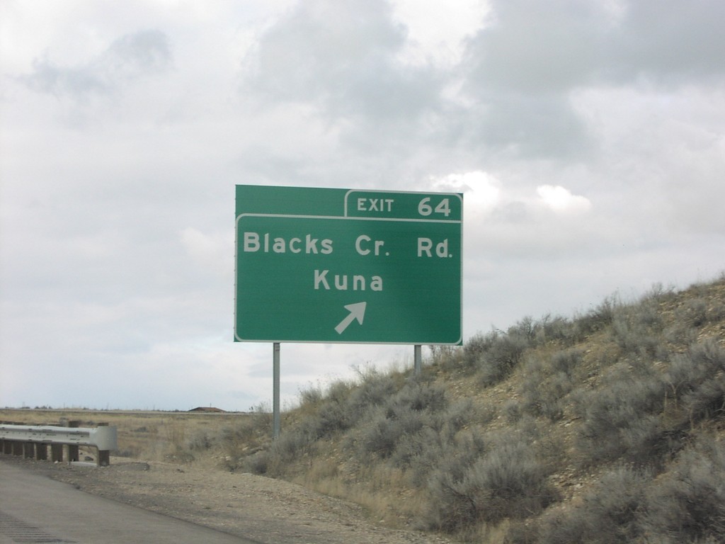
I-84 West Exit 64
I-84 west at exit 64, Blacks Creek Road
Taken 01-15-2006
Boise
Ada County
Idaho
United States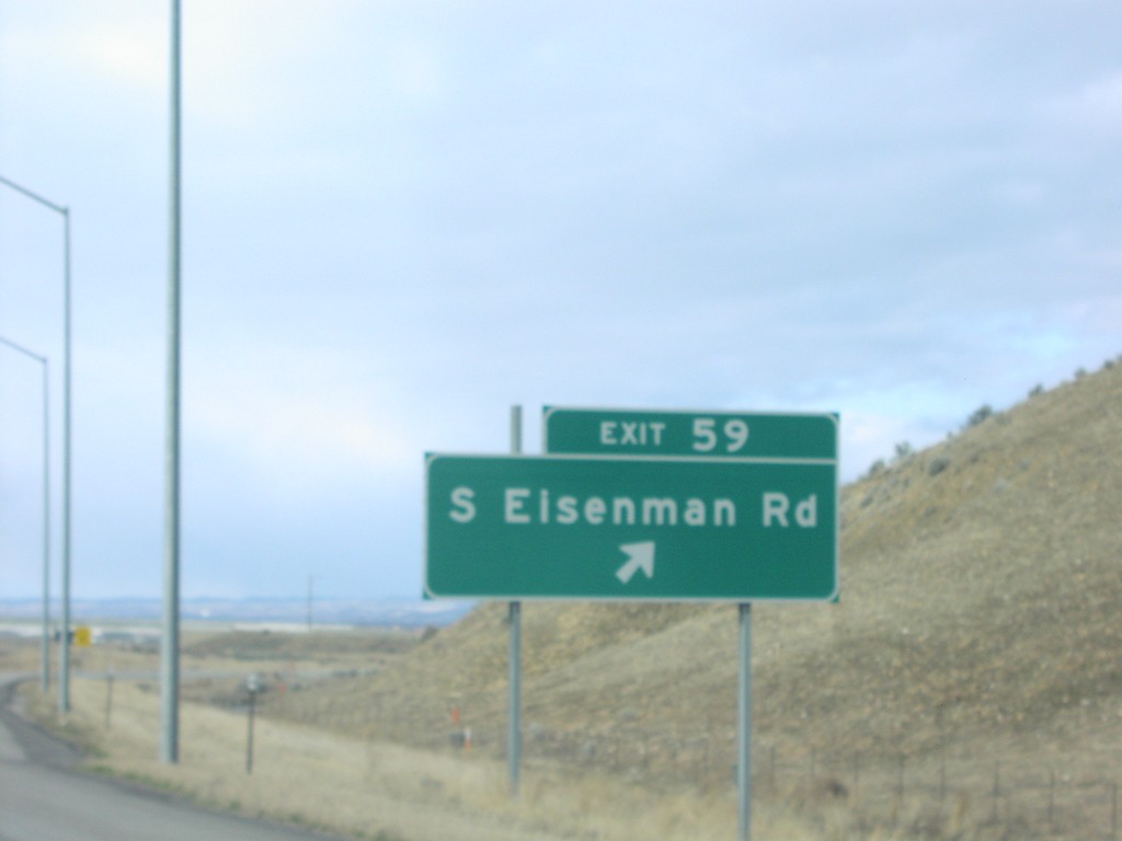
I-84 West Exit 59
I-84 west at Exit 59, Eisenman Road
Taken 01-15-2006
Boise
Ada County
Idaho
United States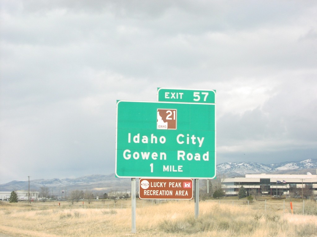
I-84 West Exit 57
I-84 west at Exit 57, ID-21 to Idaho City
Taken 01-15-2006
 Boise
Ada County
Idaho
United States
Boise
Ada County
Idaho
United States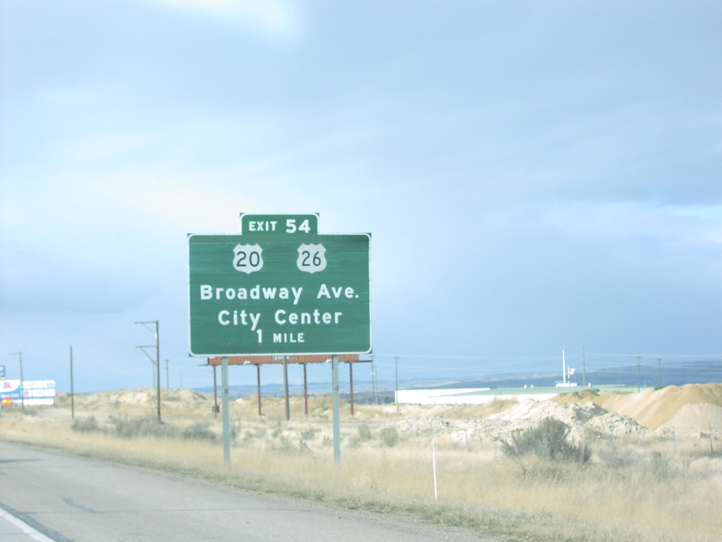
I-84 West Exit 54
I-84 west at Exit 54, US-20/US-26 junction to Boise City Center
Taken 01-15-2006
Boise
Ada County
Idaho
United States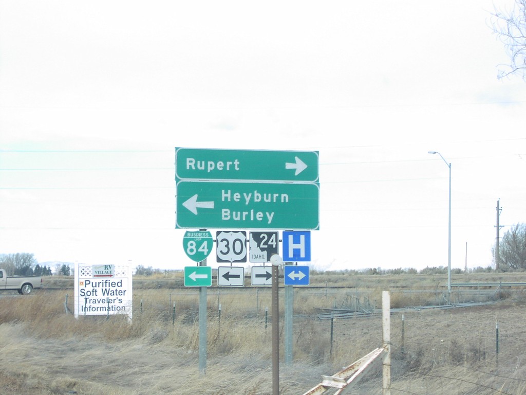
I-84 West Exit 211 Offramp at US-30/ID-24
US-30/ID-24/BL-84 at I-84 interchange
Taken 01-15-2006

 Heyburn
Minidoka County
Idaho
United States
Heyburn
Minidoka County
Idaho
United States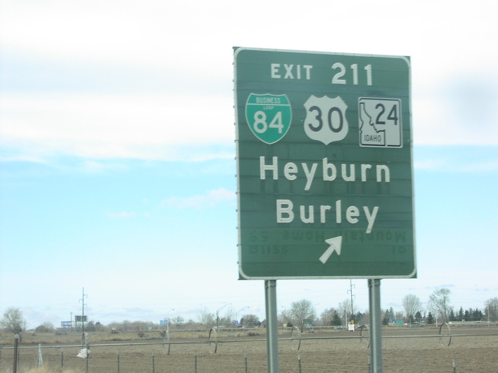
I-84 West Exit 211
I-84 west at Exit 211, US-30/ID-24 to Heyburn and Burley
Taken 01-15-2006
Heyburn
Minidoka County
Idaho
United States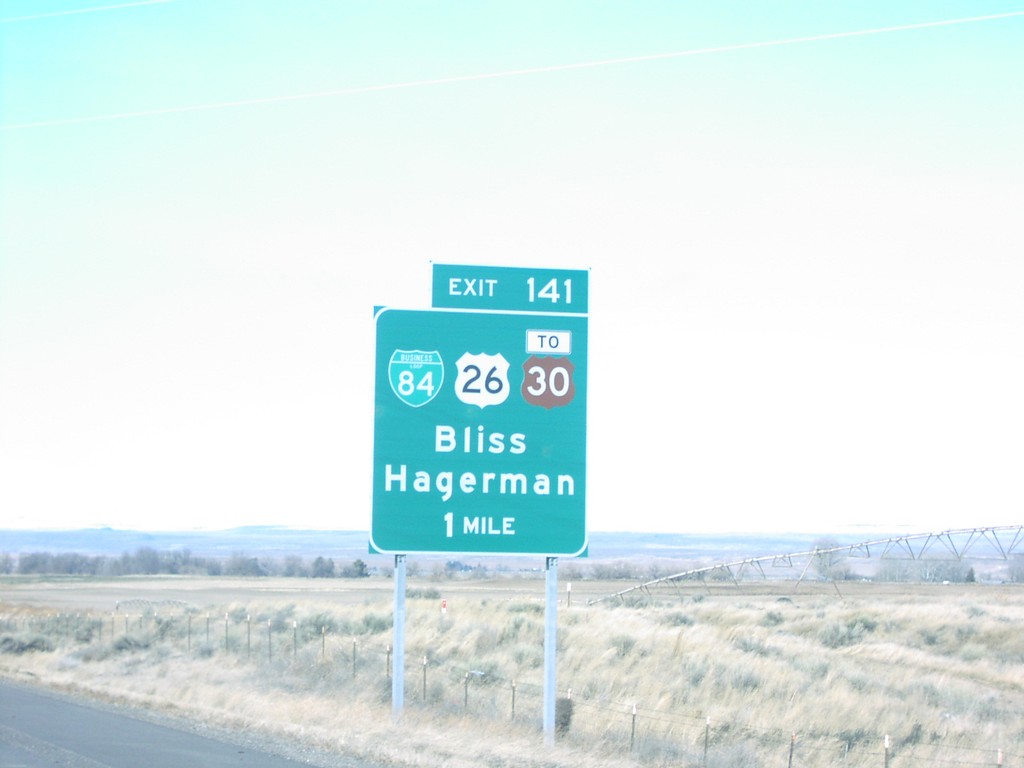
I-84 West Exit 141
I-84 west at Exit 141, US-26/US-30 junction
Taken 01-15-2006
Bliss
Gooding County
Idaho
United States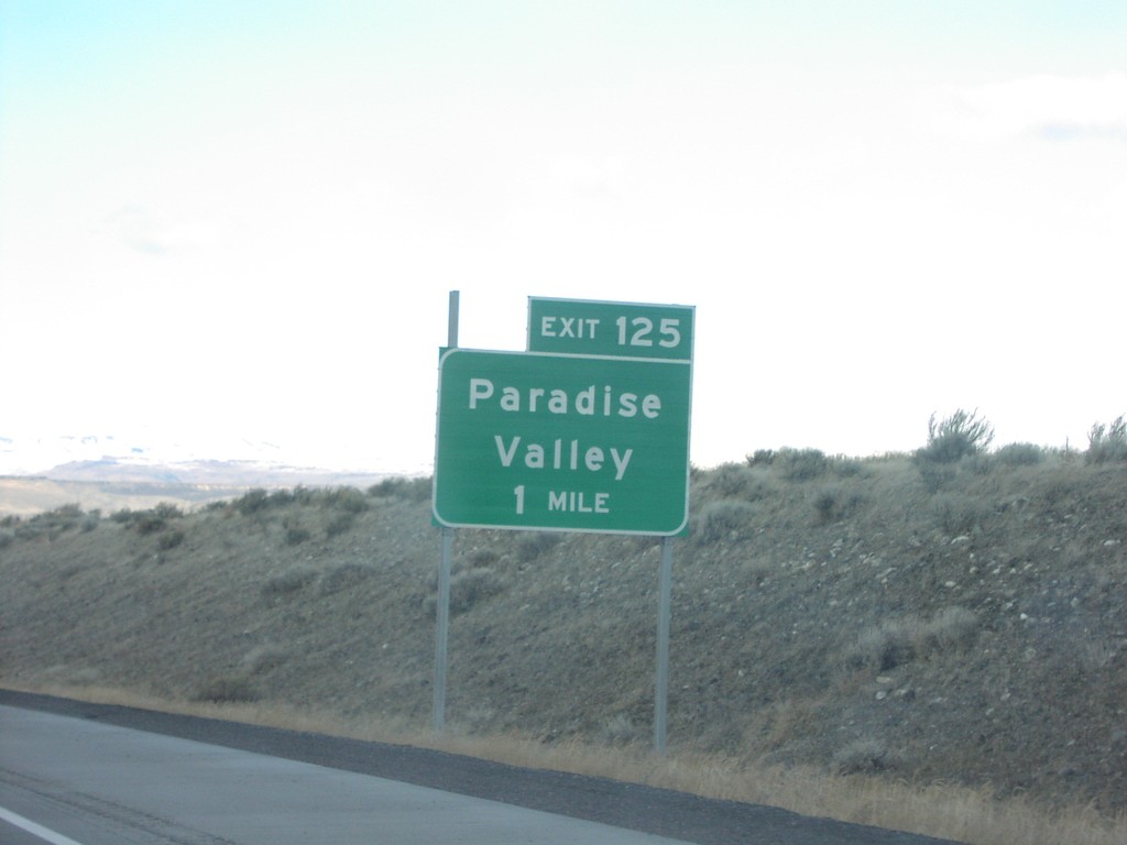
I-84 West Exit 125
I-84 west at Exit 125, Paradise Valley
Taken 01-15-2006
King Hill
Elmore County
Idaho
United States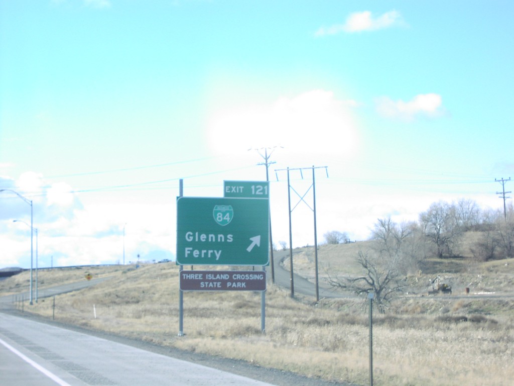
I-84 West Exit 121
I-84 west at Exit 121, BL-84/Glenns Ferry
Taken 01-15-2006
Glenns Ferry
Elmore County
Idaho
United States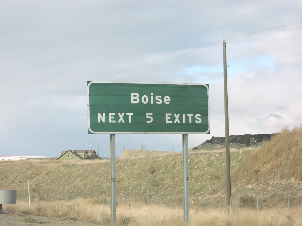
I-84 West - Boise Next 5 Exits
Boise Next 5 Exits on I-84 west
Taken 01-15-2006
Boise
Ada County
Idaho
United States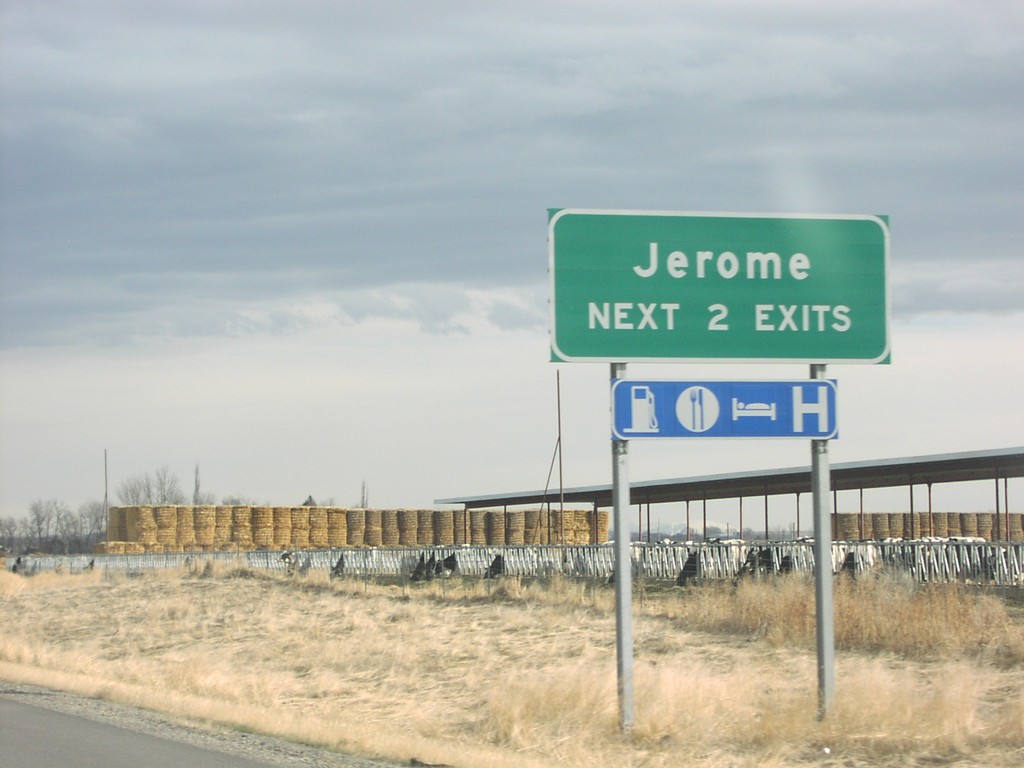
I-84 East - Jerome Next 2 Exits
Jerome Next 2 Exits on I-84 east
Taken 01-15-2006
Jerome
Jerome County
Idaho
United States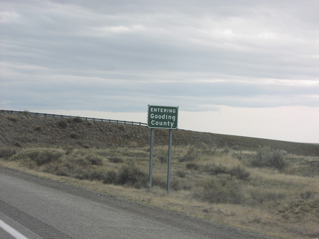
I-84 East - Gooding County Line
Entering Gooding County on I-84 east
Taken 01-15-2006
King Hill
Gooding County
Idaho
United States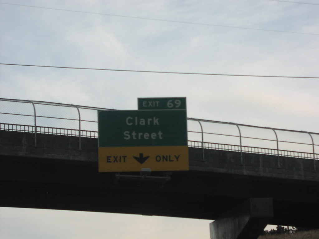
I-15 South Exit 69
I-15 south at Exit 69, Clark St.
Taken 01-15-2006
 Pocatello
Bannock County
Idaho
United States
Pocatello
Bannock County
Idaho
United States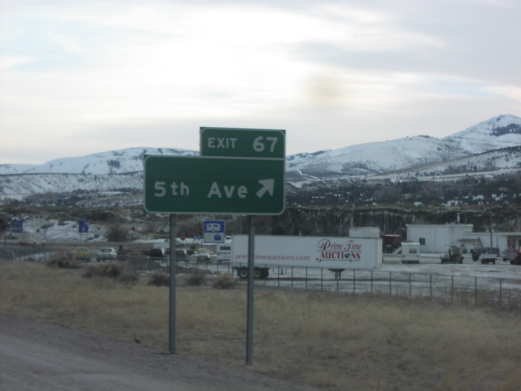
I-15 South Exit 67
I-15 south at Exit 67, 5th St.
Taken 01-15-2006

 Pocatello
Bannock County
Idaho
United States
Pocatello
Bannock County
Idaho
United States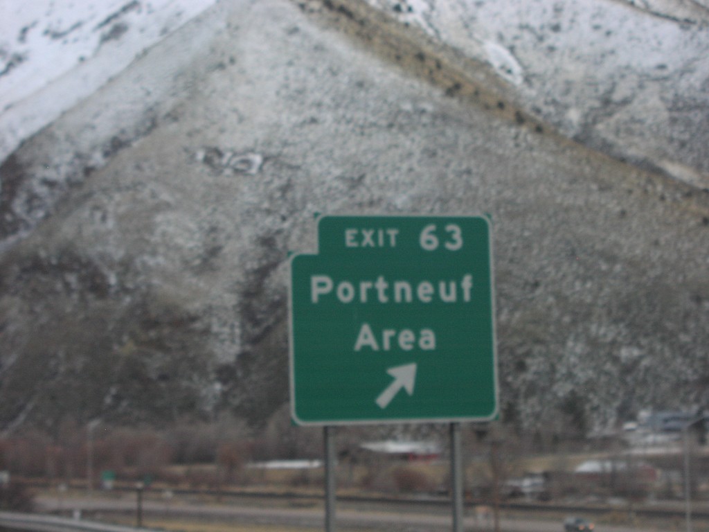
I-15 South Exit 63
I-15 south at Exit 63, Portneuf Area
Taken 01-15-2006
Pocatello
Bannock County
Idaho
United States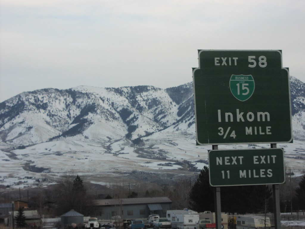
I-15 South Exit 58
I-15 south at Exit 58, BL-15/Inkom
Taken 01-15-2006
Pocatello
Bannock County
Idaho
United States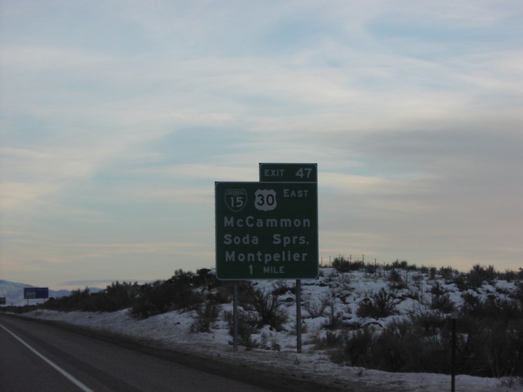
I-15 South Exit 47
I-15 south at Exit 47, US-30 to Soda Springs
Taken 01-15-2006
McCammon
Bannock County
Idaho
United States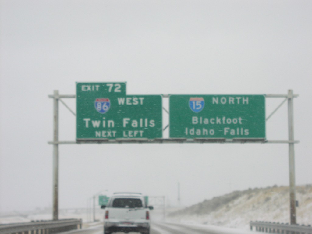
I-15 North at Exit 72, I-86 West
I-86 west to Twin Falls next left on I-15 north
Taken 01-15-2006
Pocatello
Bannock County
Idaho
United States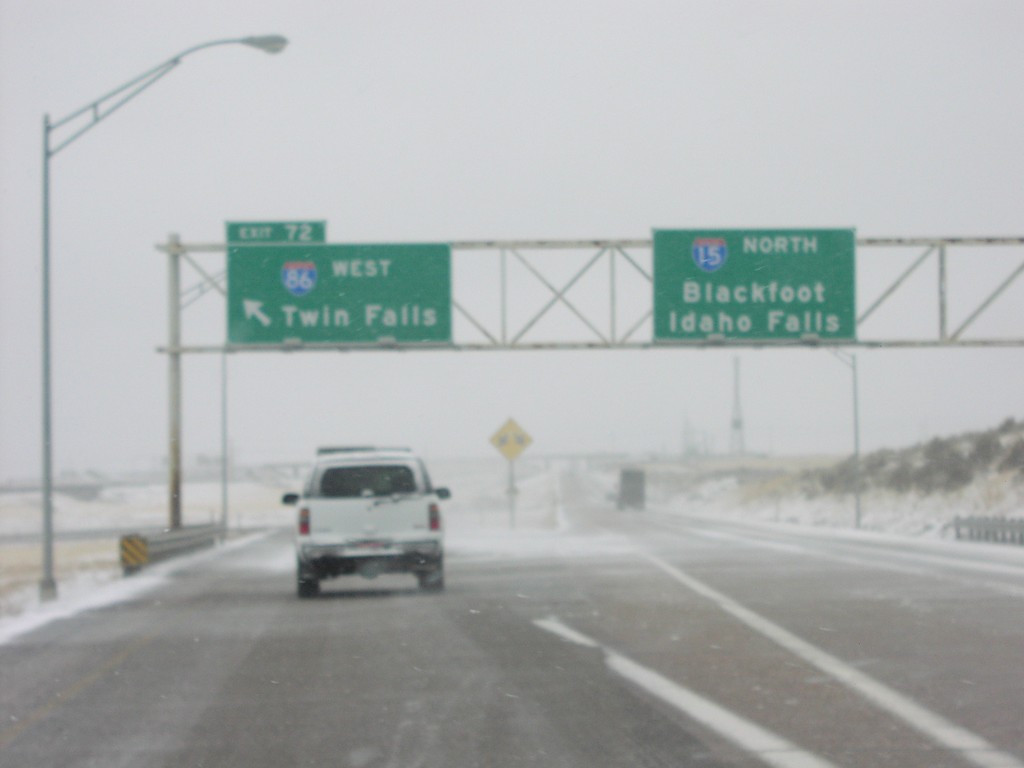
I-15 North at Exit 72 at I-86 West
I-15 north at I-86 west to Twin Falls
Taken 01-15-2006
Pocatello
Bannock County
Idaho
United States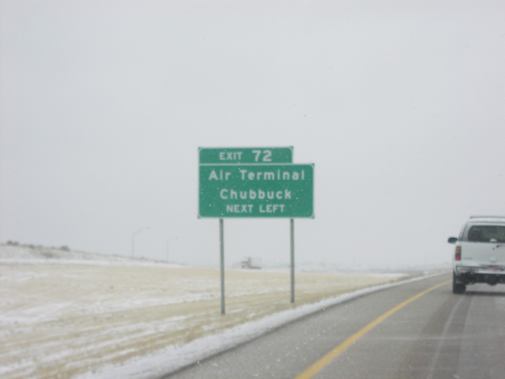
I-15 North approaching Exit 72
Use Exit 72, I-86 west, to Air Terminal and Chubbuck on I-15 north
Taken 01-15-2006
Pocatello
Bannock County
Idaho
United States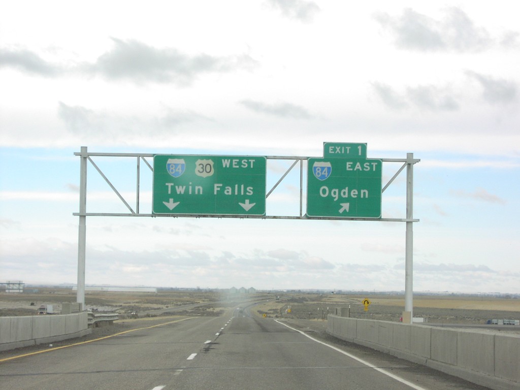
End I-86 West at I-84
End I-86 west at I-84 to Twin Falls and Ogden
Taken 01-15-2006
Cotterel
Cassia County
Idaho
United States