Signs Tagged With Big Green Sign
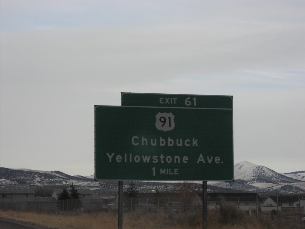
I-86 East Exit 61
I-86 east at Exit 61, US-91/Yellowstone Ave
Taken 01-14-2006

 Pocatello
Bannock County
Idaho
United States
Pocatello
Bannock County
Idaho
United States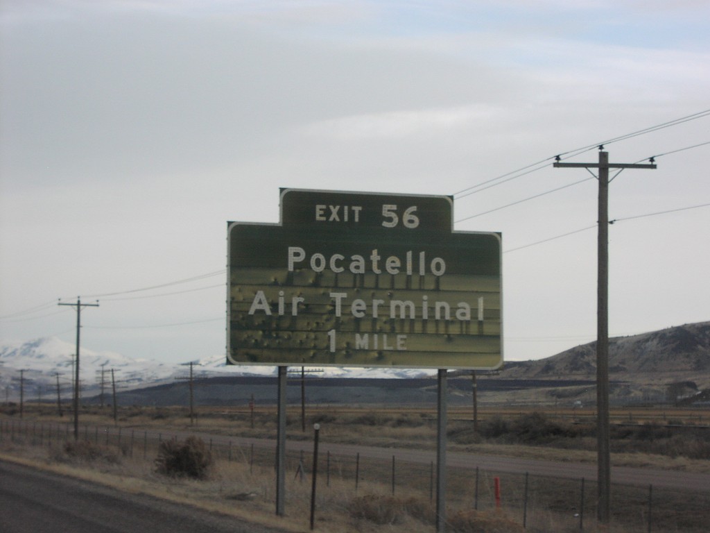
I-86 East Exit 56
I-86 east at Exit 56, Pocatello Air Terminal
Taken 01-14-2006
 Pocatello
Bannock County
Idaho
United States
Pocatello
Bannock County
Idaho
United States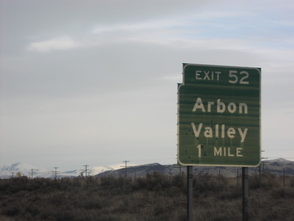
I-86 East Exit 52
I-86 east at Exit 52, Arbon Valley
Taken 01-14-2006
Pocatello
Power County
Idaho
United States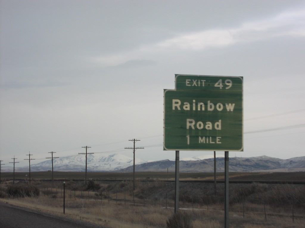
I-86 East Exit 49
I-86 east at Exit 49, Rainbow Road
Taken 01-14-2006
Arbon Valley
Power County
Idaho
United States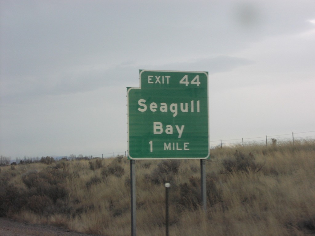
I-86 East Exit 44
I-86 east at Exit 44, Seagull Bay
Taken 01-14-2006
American Falls
Power County
Idaho
United States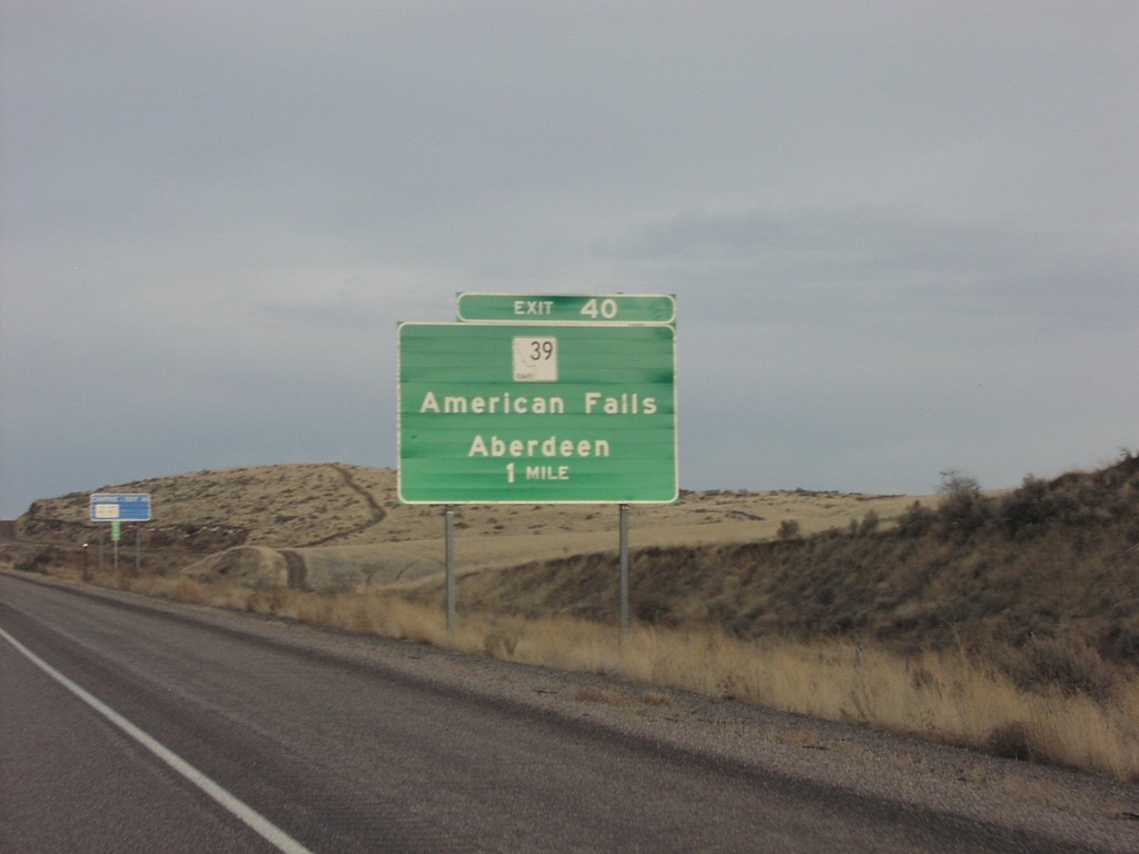
I-86 East Exit 40
I-86 east at Exit 40, ID-39 Junction
Taken 01-14-2006
 American Falls
Power County
Idaho
United States
American Falls
Power County
Idaho
United States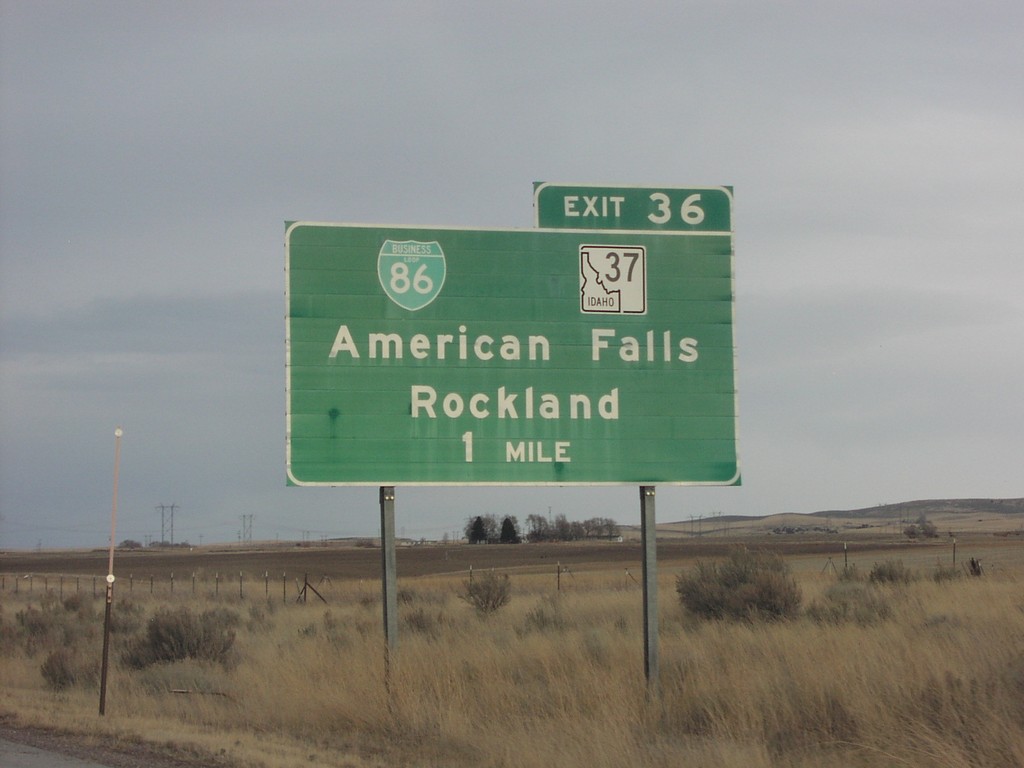
I-86 East Exit 36
I-86 east at Exit 36, BL-86/ID-37 Jct
Taken 01-14-2006

 American Falls
Power County
Idaho
United States
American Falls
Power County
Idaho
United States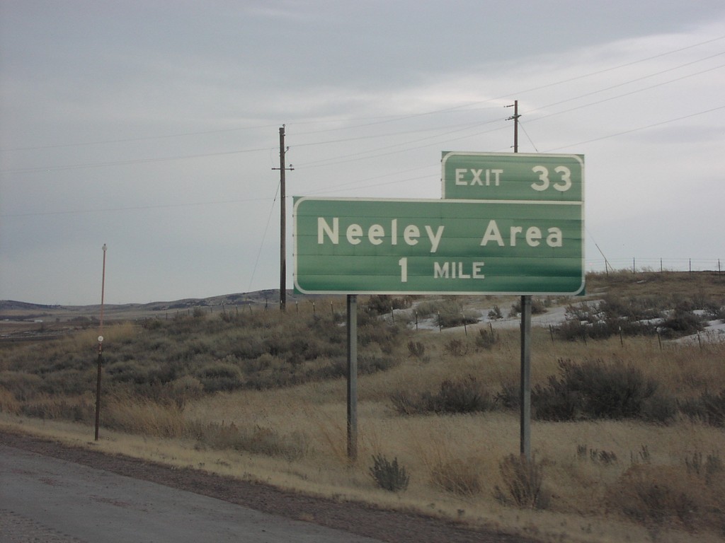
I-86 East Exit 33
I-86 east at Exit 33, Neeley Area
Taken 01-14-2006
American Falls
Power County
Idaho
United States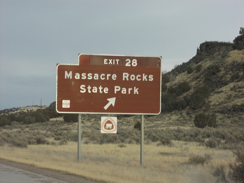
I-86 East Exit 28
I-86 east at Exit 28, Massacre Rocks State Park
Taken 01-14-2006
American Falls
Power County
Idaho
United States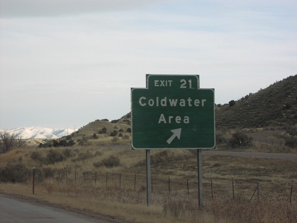
I-86 East Exit 21
I-86 east at Exit 21, Coldwater Area
Taken 01-14-2006
American Falls
Power County
Idaho
United States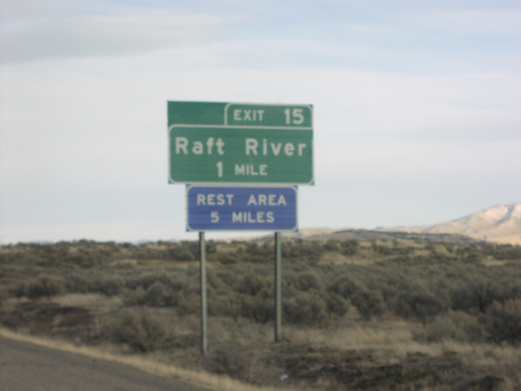
I-86 East Exit 15
I-86 east at Exit 15, Raft River
Taken 01-14-2006
Declo
Cassia County
Idaho
United States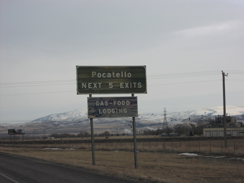
I-86 East - Pocatello Next 5 Exits
Pocatello Next 5 Exits on I-86 east
Taken 01-14-2006
Arbon Valley
Power County
Idaho
United States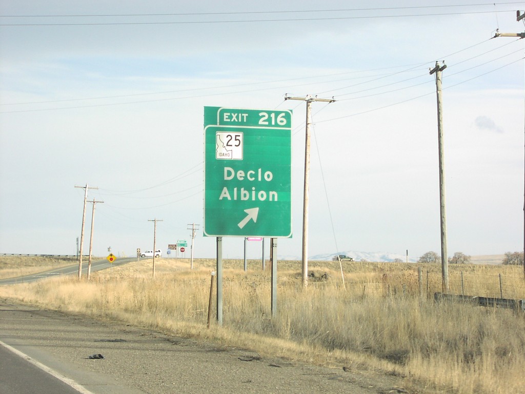
I-84 East Exit 216
I-84 east at Exit 216, ID-77/ID-25 junction
Taken 01-14-2006


 Rupert
Minidoka County
Idaho
United States
Rupert
Minidoka County
Idaho
United States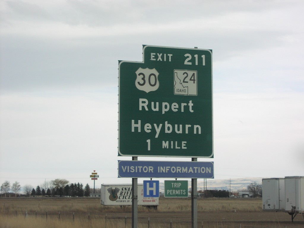
I-84 East Exit 211
I-84 east at Exit 211, US-30/ID-24
Taken 01-14-2006
 Heyburn
Minidoka County
Idaho
United States
Heyburn
Minidoka County
Idaho
United States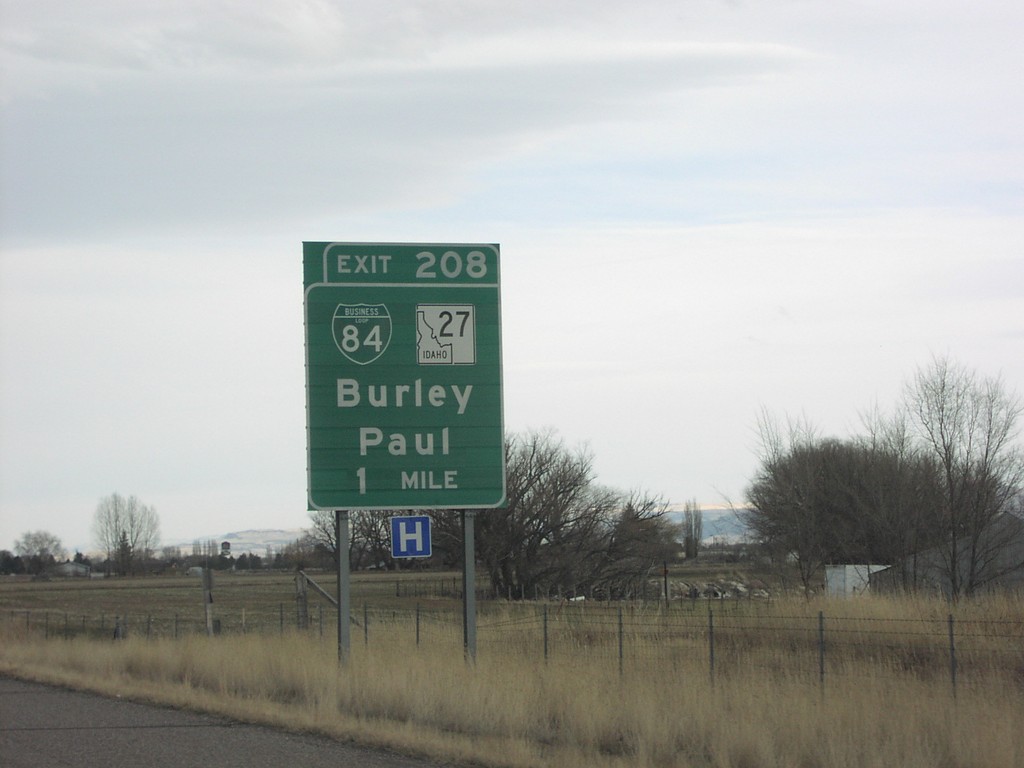
I-84 East Exit 208
I-84 at Exit 208, BL-84/ID-27
Taken 01-14-2006

 Burley
Cassia County
Idaho
United States
Burley
Cassia County
Idaho
United States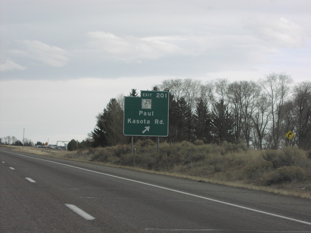
I-84 East Exit 201
I-84 east at Exit 201, ID-25 to Paul
Taken 01-14-2006
Hobson
Cassia County
Idaho
United States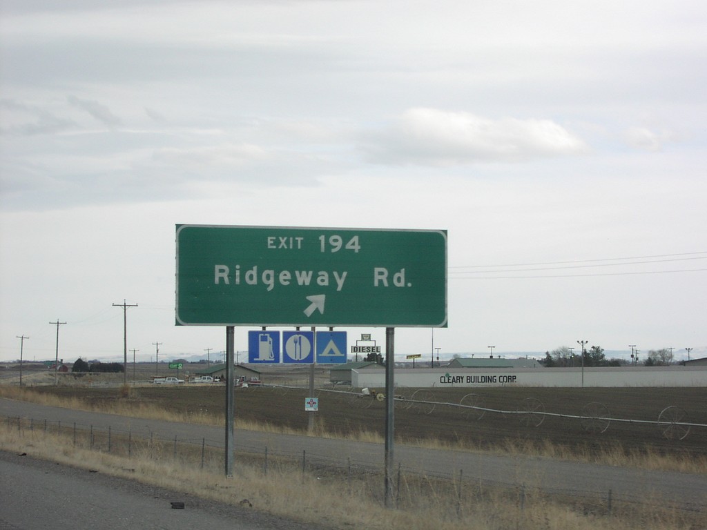
I-84 East Exit 194
I-84 east at Exit 194, Ridgeway Road
Taken 01-14-2006
Greenwood
Jerome County
Idaho
United States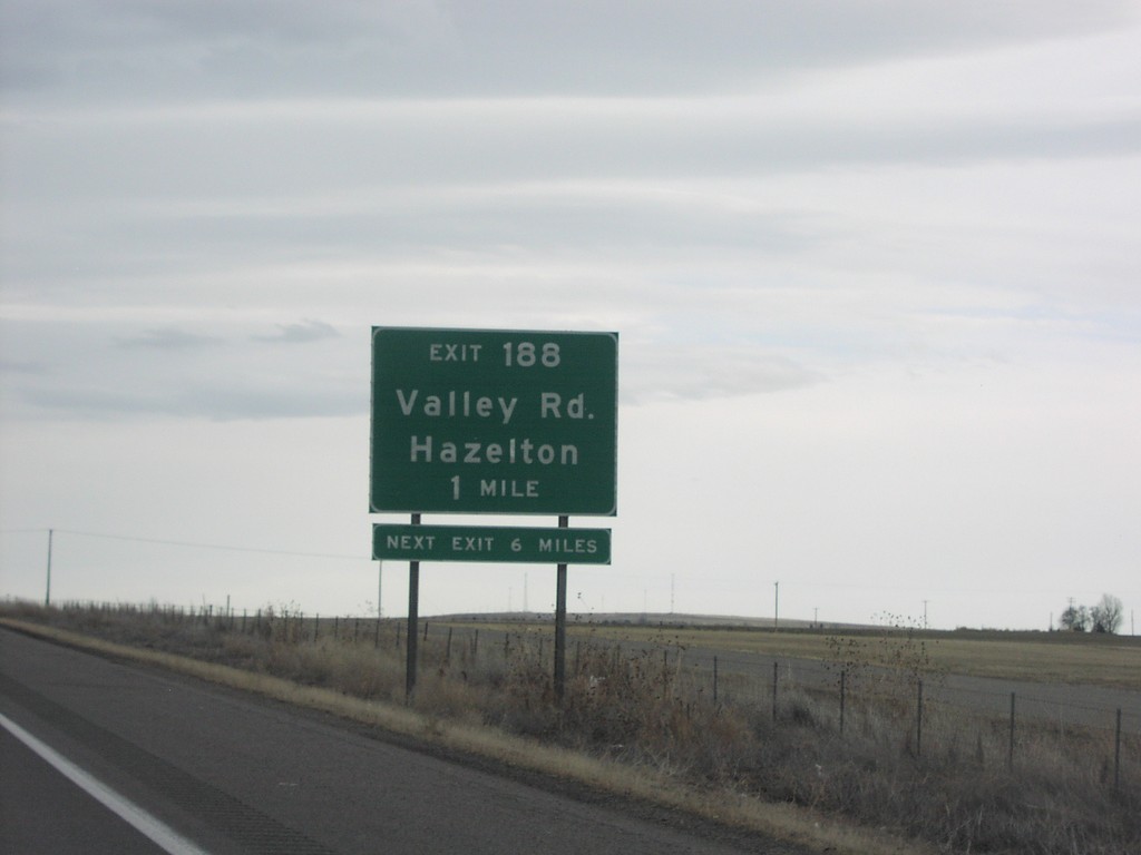
I-84 East Exit 188
I-84 east at Exit 188, Valley Road
Taken 01-14-2006
Eden
Jerome County
Idaho
United States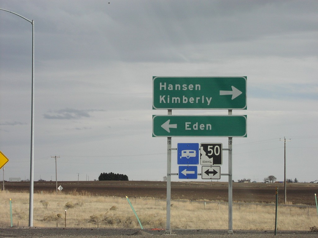
I-84 East Exit 182 Offramp
I-84 at ID-50 interchange to Eden and Hansen
Taken 01-14-2006
 Eden
Jerome County
Idaho
United States
Eden
Jerome County
Idaho
United States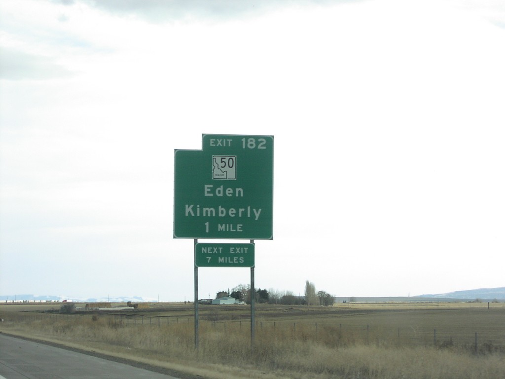
I-84 East Exit 182
I-84 east at Exit 182, ID-50 junction
Taken 01-14-2006
Eden
Jerome County
Idaho
United States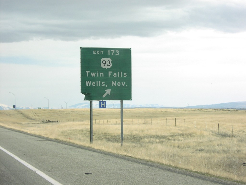
I-84 East Exit 173
I-84 east at Exit 173, US-93 junction
Taken 01-14-2006
 Jerome
 County
Idaho
United States
Jerome
Jerome County
Idaho
United States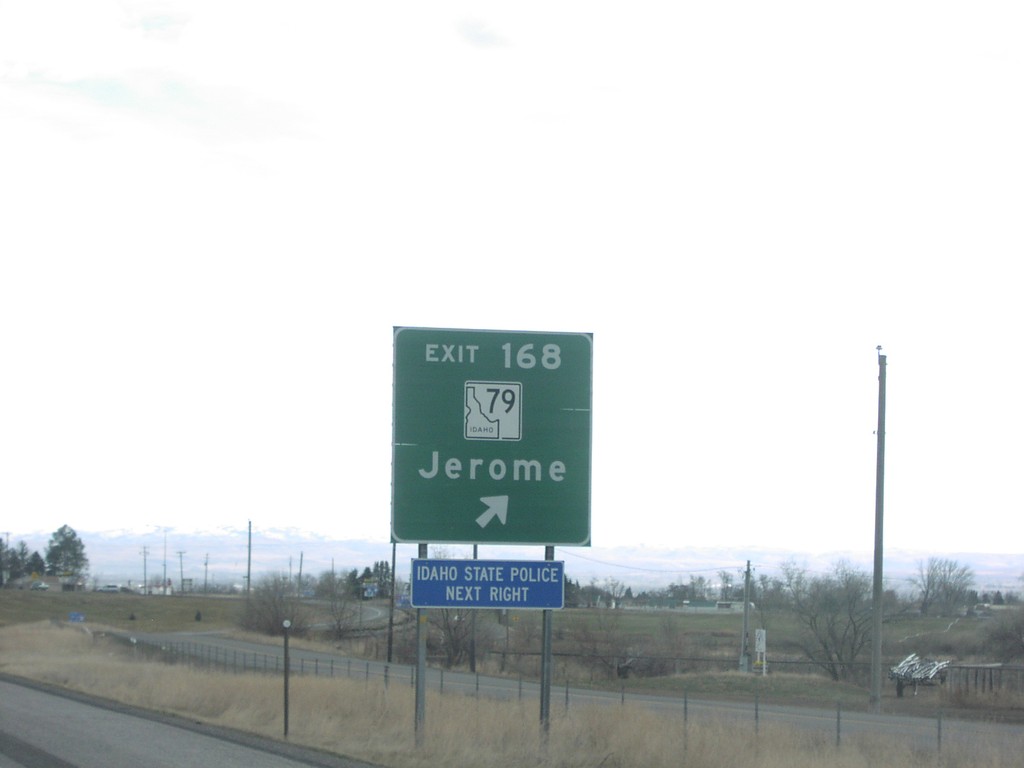
I-84 East Exit 168
I-84 east at Exit 168, ID-79/Jerome
Taken 01-14-2006
 Jerome
 County
Idaho
United States
Jerome
Jerome County
Idaho
United States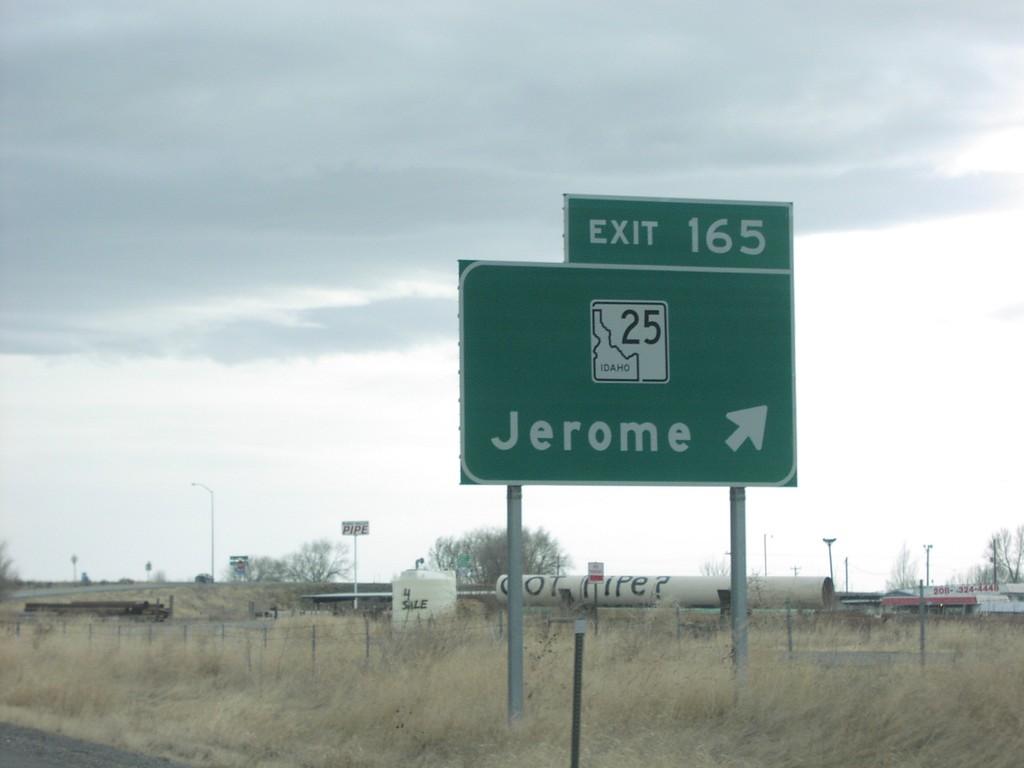
I-84 East Exit 165
I-84 east at Exit 165, ID-25/Jerome
Taken 01-14-2006
Jerome
Jerome County
Idaho
United States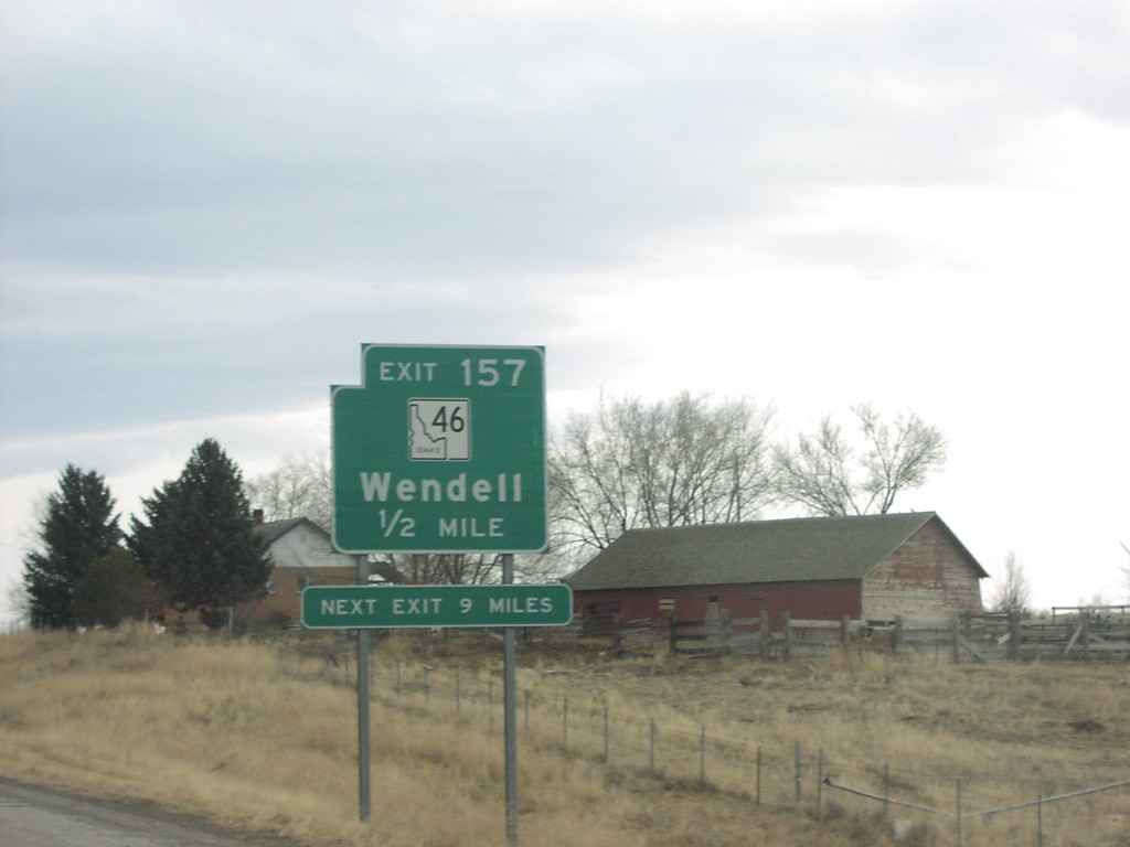
I-84 East Exit 157
I-84 east at Exit 157, ID-46/Wendell
Taken 01-14-2006
 Wendell
Gooding County
Idaho
United States
Wendell
Gooding County
Idaho
United States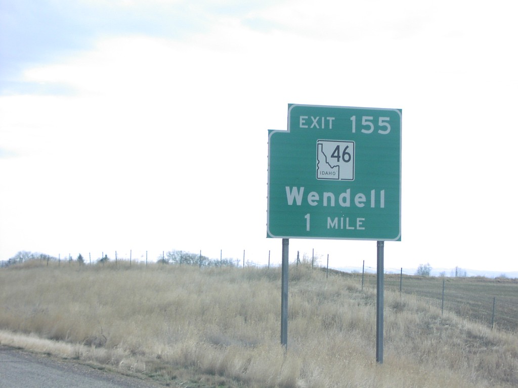
I-84 East Exit 155
I-84 east at Exit 155, ID-46/Wendell
Taken 01-14-2006
Wendell
Gooding County
Idaho
United States