Signs Tagged With Big Green Sign
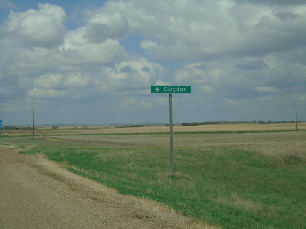
SK-18 West - Claydon
SK-18 west at Claydon junction. SK-18 makes a 90 degree turn to the south; continue straight on roadway for Claydon.
Taken 05-13-2023
 Claydon
Frontier No. 19
Saskatchewan
Canada
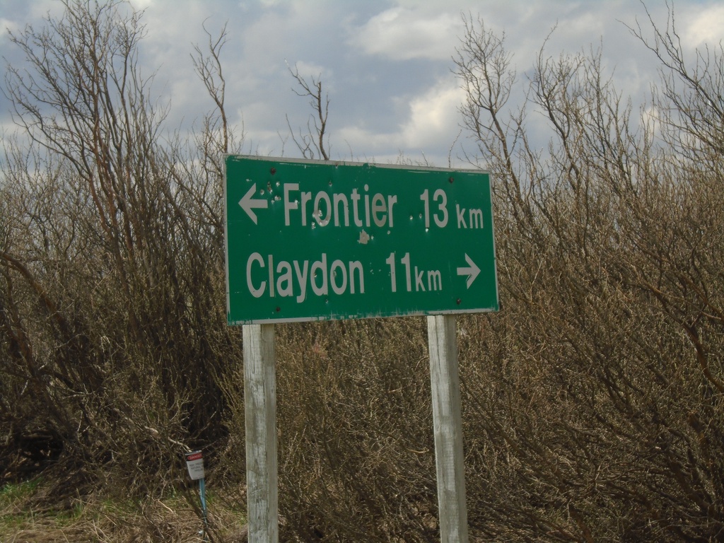
SK-614 South at SK-18
SK-614 South at SK-18 near Loomis. Use SK-18 west for Claydon; SK-18 east for Frontier. Distance units are marked with the text km, which is different than the other distance markers in southern Saskatchewan.
Taken 05-13-2023

 Claydon
Frontier No. 19
Saskatchewan
Canada
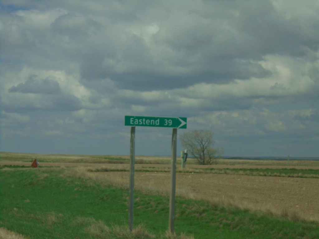
SK-18 West at SK-614 North
SK-18 West at SK-614 North to Eastend
Taken 05-13-2023

 Claydon
Frontier No. 19
Saskatchewan
Canada
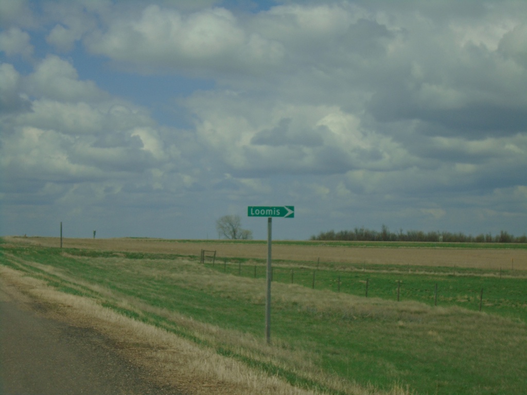
SK-18 West Approaching Loomis Junction
SK-18 West approaching Loomis junction.
Taken 05-13-2023
 Claydon
Frontier No. 19
Saskatchewan
Canada
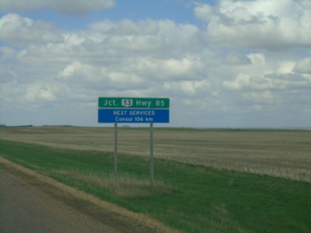
SK-18 West - Distance Marker
Distance marker on SK-18 west. Distance to Junction SK-13. Next Services in Consul - 106km.
Taken 05-13-2023

 Frontier
 No. 19
Saskatchewan
Canada
Frontier
Frontier No. 19
Saskatchewan
Canada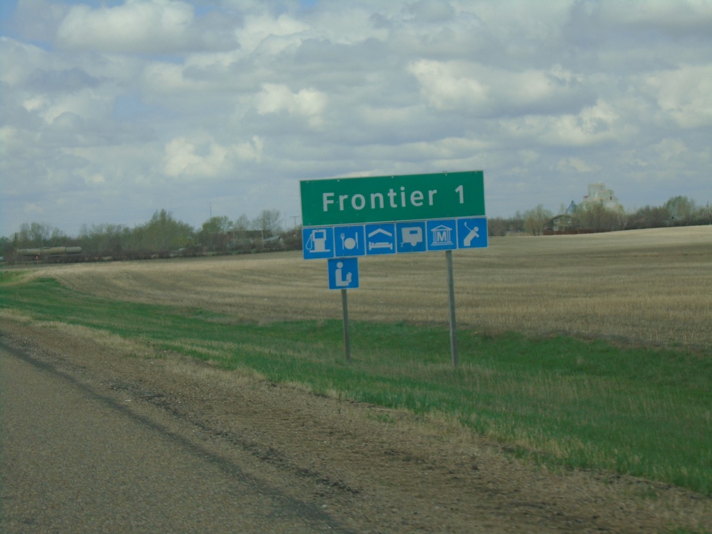
SK-18 West - Frontier
SK-18 west approaching Frontier.
Taken 05-13-2023
 Frontier
 No. 19
Saskatchewan
Canada
Frontier
Frontier No. 19
Saskatchewan
Canada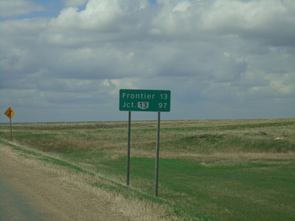
SK-18 West - Distance Marker
Distance marker on SK-18 west. Distance to Frontier and SK-13 junction.
Taken 05-13-2023

 Climax
Saskatchewan
Canada
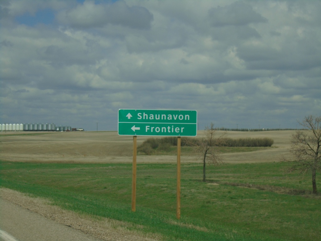
SK-37 North/SK-18 West Approaching SK-37/SK-18 Split
SK-37 North/SK-18 West approaching SK-37/SK-18 split in Climax. Use SK-37 north to Shaunavon; SK-18 west to Frontier.
Taken 05-13-2023

 Climax
Saskatchewan
Canada
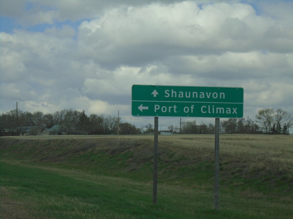
SK-18 West at SK-37
SK-18 West at SK-37 south to Port of Climax. Continue on SK-18 West/SK-37 North to Shaunavon. SK-37 joins SK-18 westbound through Climax.
Taken 05-13-2023

 Climax
Lone Tree No. 18
Saskatchewan
Canada
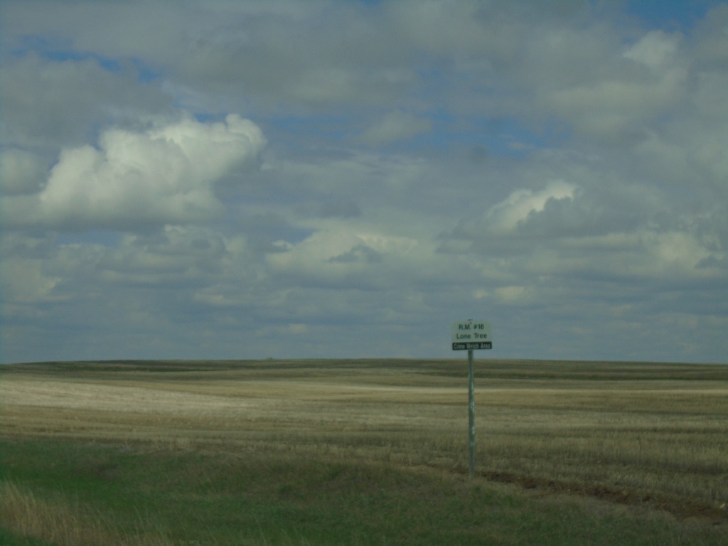
SK-18 West - RM of Lone Tree No. 18
Entering RM of Lone Tree No. 18 on SK-18 west.
Taken 05-13-2023
 Bracken
Lone Tree No. 18
Saskatchewan
Canada
SK-4 North Approaching SK-18
SK-4 North approaching SK-18 in RM of Val Marie No. 17. Use SK-18 west to Climax; SK-4 North/SK-18 East to Val Marie and Swift Current.
Taken 05-13-2023

 Orkney
Val Marie No. 17
Saskatchewan
Canada
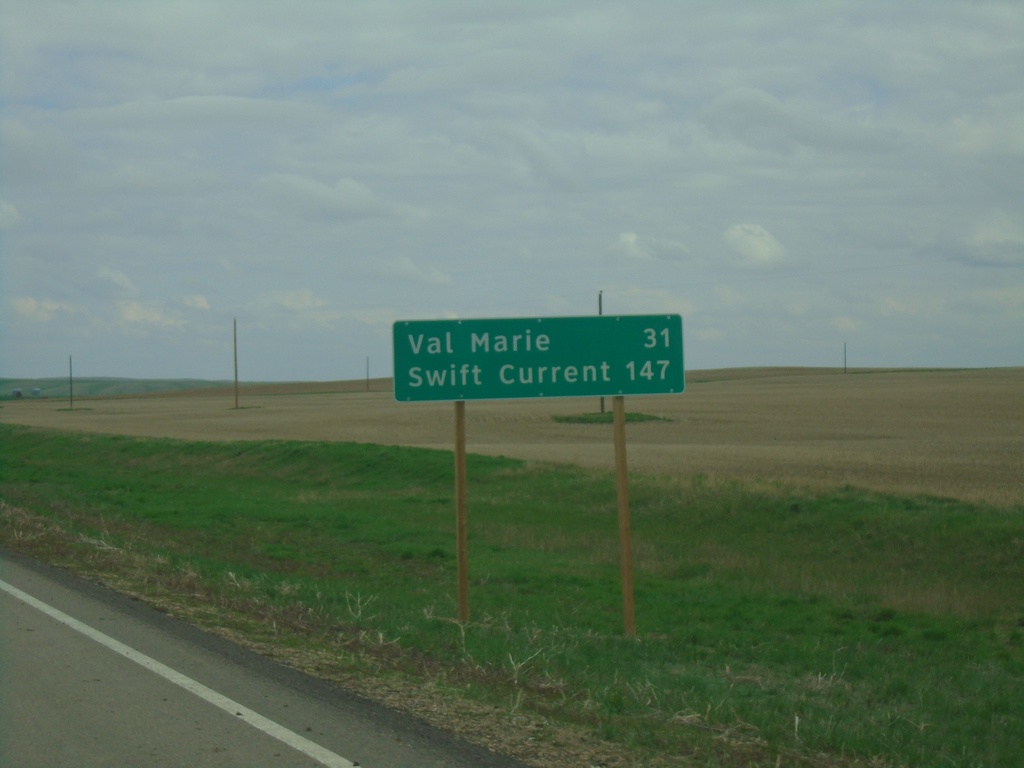
SK-4 North - Distance Marker
Distance marker on SK-4 north. Distance to Val Marie and Swift Current.
Taken 05-13-2023
 Orkney
Val Marie No. 17
Saskatchewan
Canada
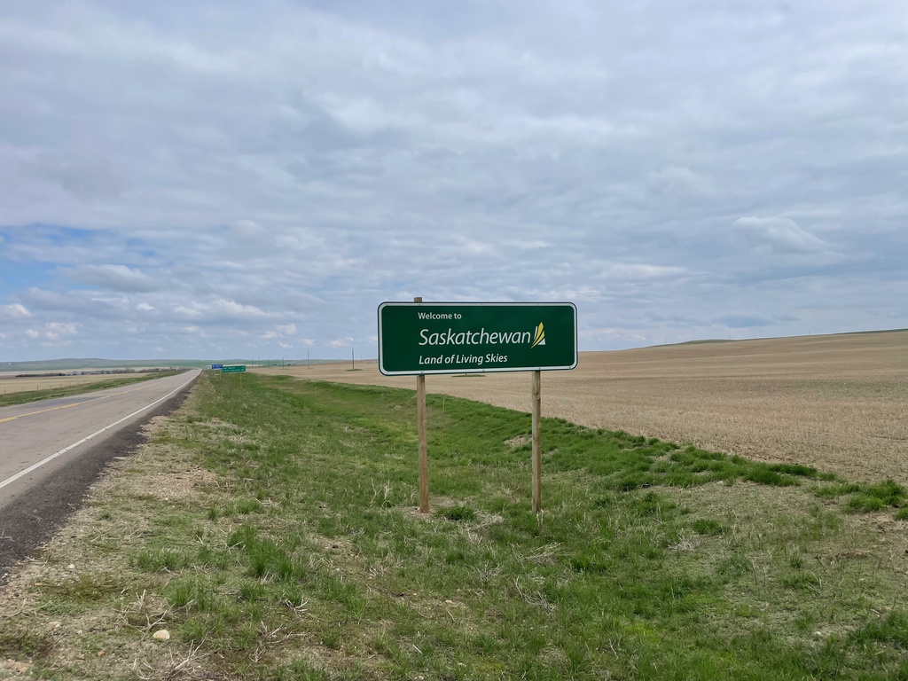
SK-4 North - Welcome to Saskatchewan
Welcome to Saskatchewan - Land of the Living Skies on SK-4 North. Taken at the exit to the Port of Monchy.
Taken 05-13-2023
 Orkney
Val Marie No. 17
Saskatchewan
Canada
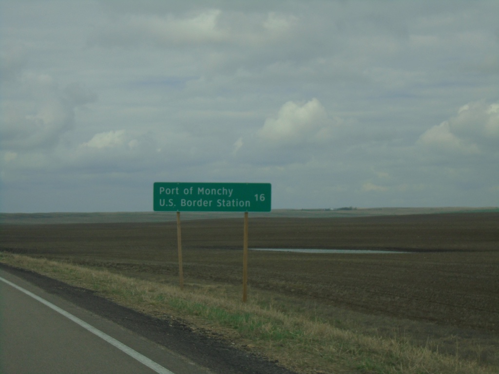
SK-4 South - Distance Marker
Distance marker on SK-4 south. Distance to Port of Monchy U.S. Border Station.
Taken 05-13-2023
 Masefield
Val Marie No. 17
Saskatchewan
Canada
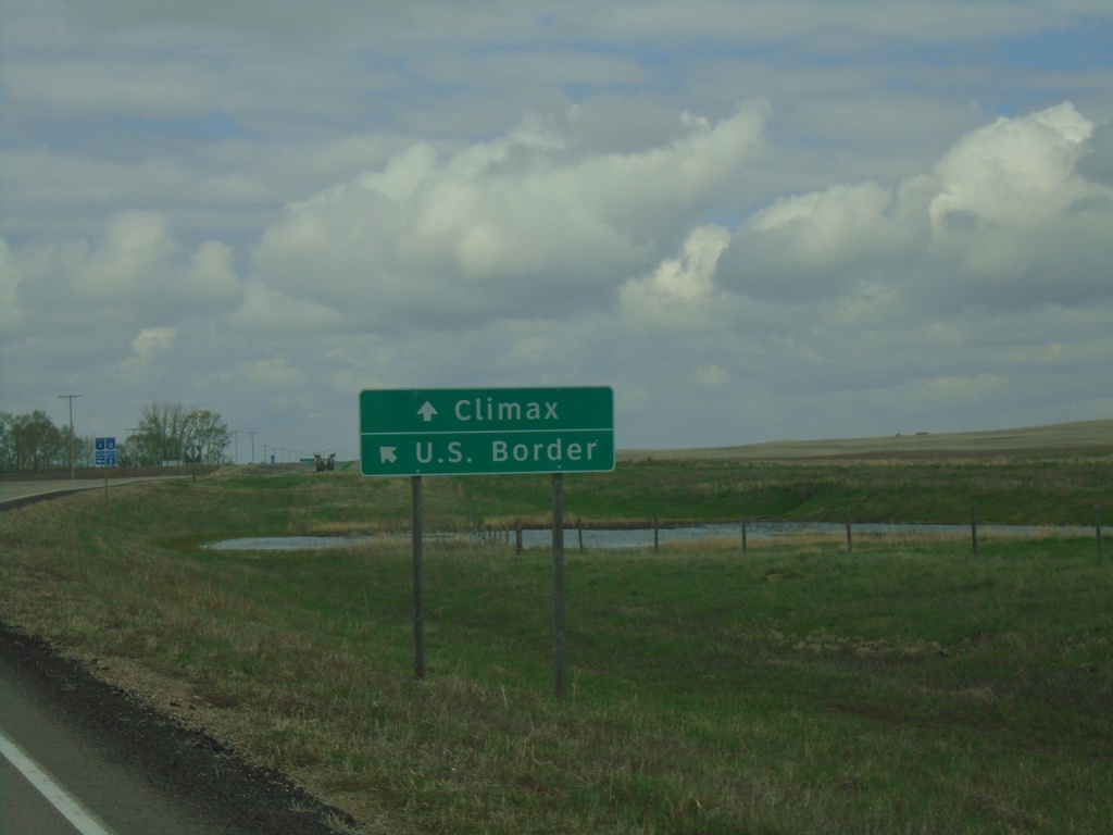
SK-4 South/SK-18 West at SK-4/SK-18 Split
SK-4 South/SK-18 West at SK-4/SK-18 Split. Use SK-4 south for U.S. Border; SK-18 West to Climax.
Taken 05-13-2023

 Orkney
Val Marie No. 17
Saskatchewan
Canada
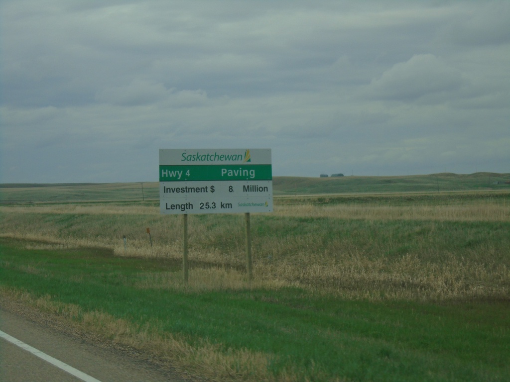
SK-4 South/SK-18 West - Road Construction
SK-4 South/SK-18 West - Road Construction Information
Taken 05-13-2023

 Val Marie
 No. 17
Saskatchewan
Canada
Val Marie
Val Marie No. 17
Saskatchewan
Canada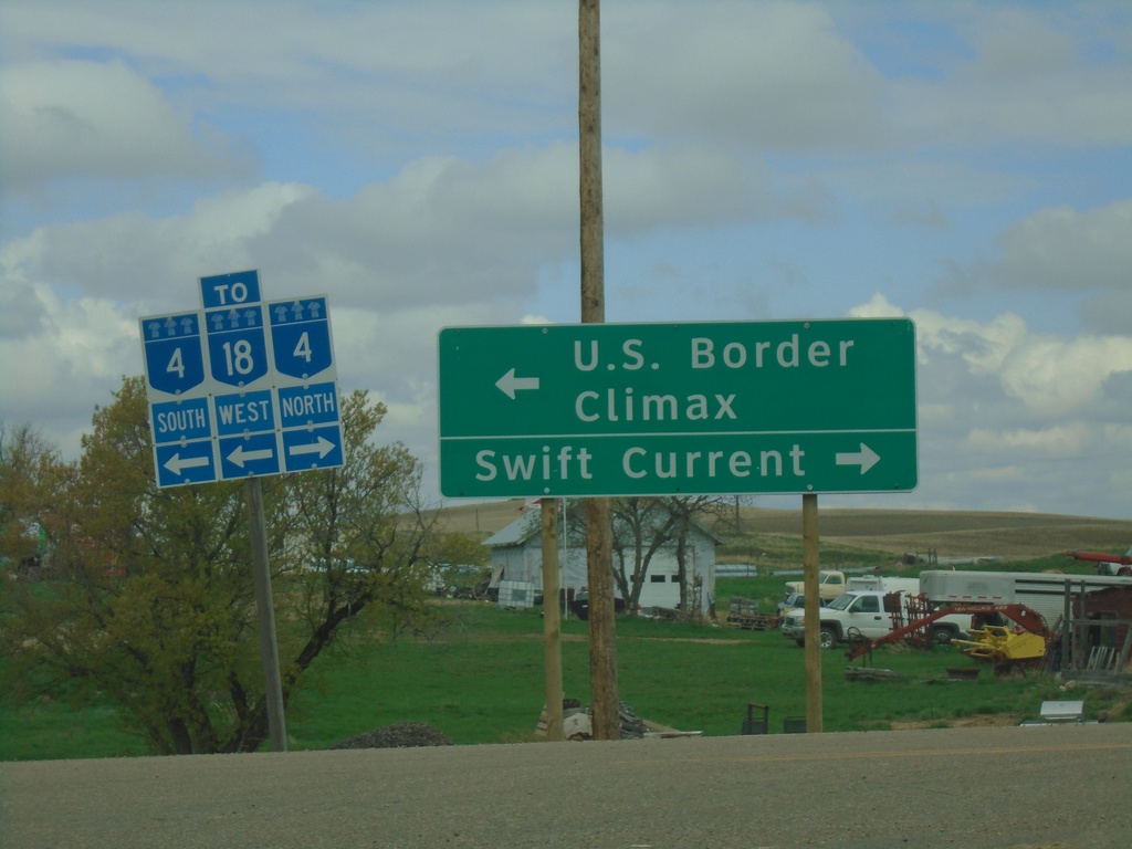
SK-18 West at SK-4 - Val Marie
SK-18 West at SK-4 in Val Marie. Turn right for SK-4 North to Swift Current; turn left for SK-4 South/SK-18 West to U.S. Border and Climax.
Taken 05-13-2023

 Val Marie
 No. 17
Saskatchewan
Canada
Val Marie
Val Marie No. 17
Saskatchewan
Canada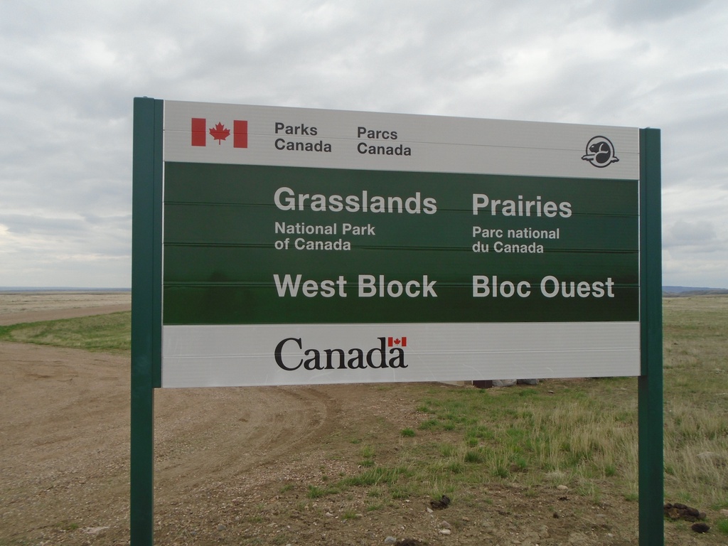
Grasslands National Park - West Block
Entrance to Grasslands National Park of Canada - West Block.
Taken 05-13-2023
Coriander Val Marie No. 17 Saskatchewan Canada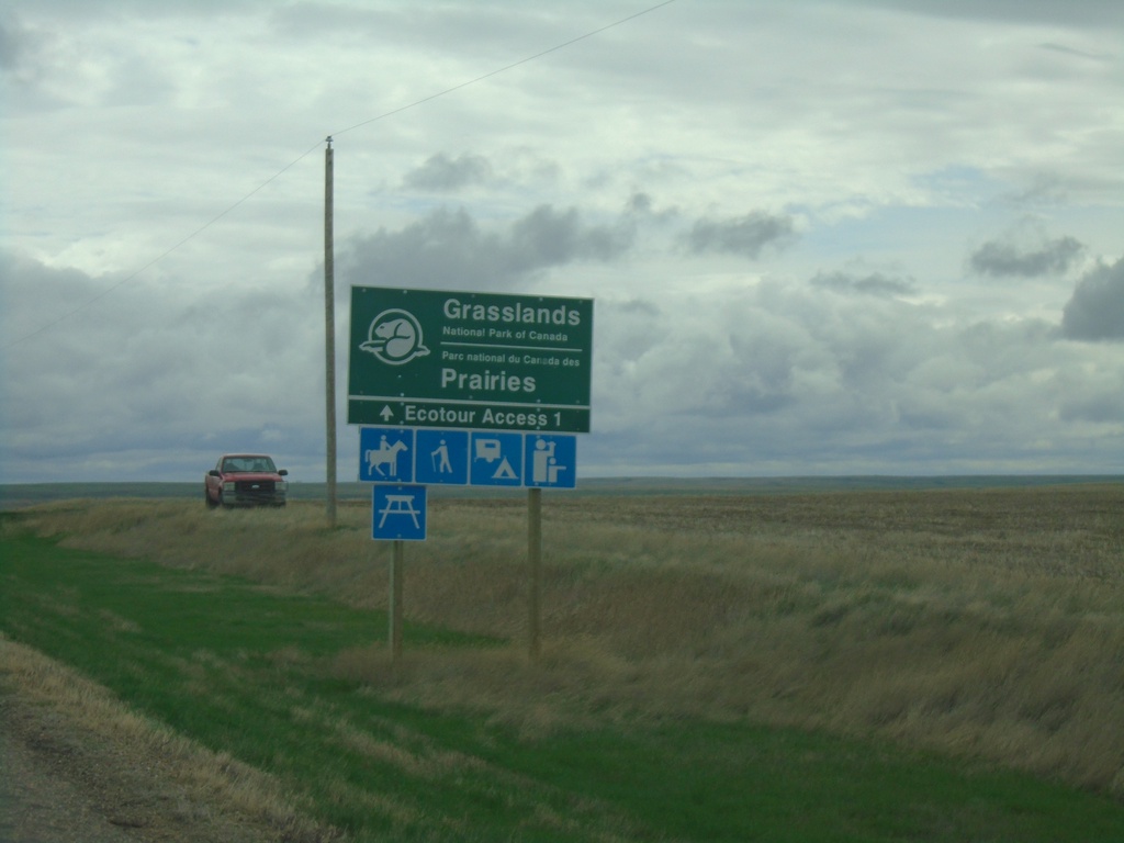
SK-18 East Approaching Grasslands National Park
SK-18 East approaching Grasslands National Park - West Block junction.
Taken 05-12-2023
 Val Marie
Glen McPherson No. 46
Saskatchewan
Canada
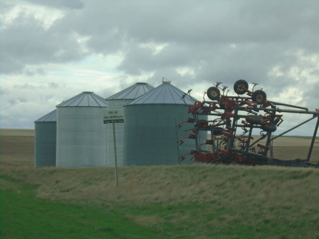
SK-18 East - RM of Glen McPherson No. 46
Entering RM of Glen McPherson No. 46 on SK-18 east. RM of Glen McPherson No. 46 is the least populated rural municipality in Saskatchewan.
Taken 05-12-2023
 Val Marie
Glen McPherson No. 46
Saskatchewan
Canada
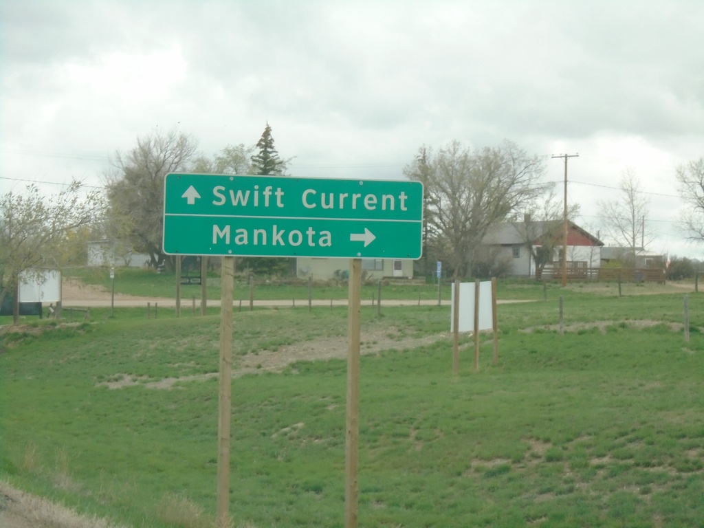
SK-4 North/SK-18 East Approaching SK-4/SK-18 Split
SK-4 North/SK-18 East approaching SK-4/SK-18 split in Val Marie. Use SK-4 north for Swift Current; SK-18 east for Mankota.
Taken 05-12-2023

 Val Marie
 No. 17
Saskatchewan
Canada
Val Marie
Val Marie No. 17
Saskatchewan
Canada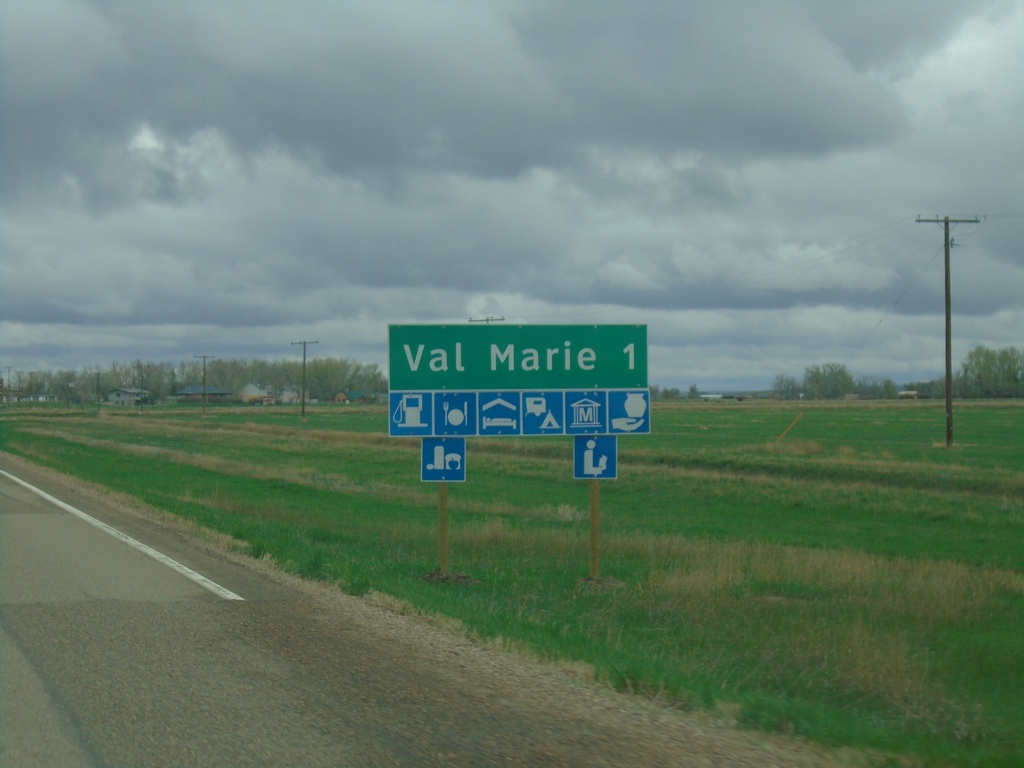
SK-4 North/SK-18 East Approaching Val Marie
Approaching Val Marie on SK-4 North/SK-18 East. Val Marie is home to the visitor center for Grasslands National Park.
Taken 05-12-2023

 Val Marie
 No. 17
Saskatchewan
Canada
Val Marie
Val Marie No. 17
Saskatchewan
Canada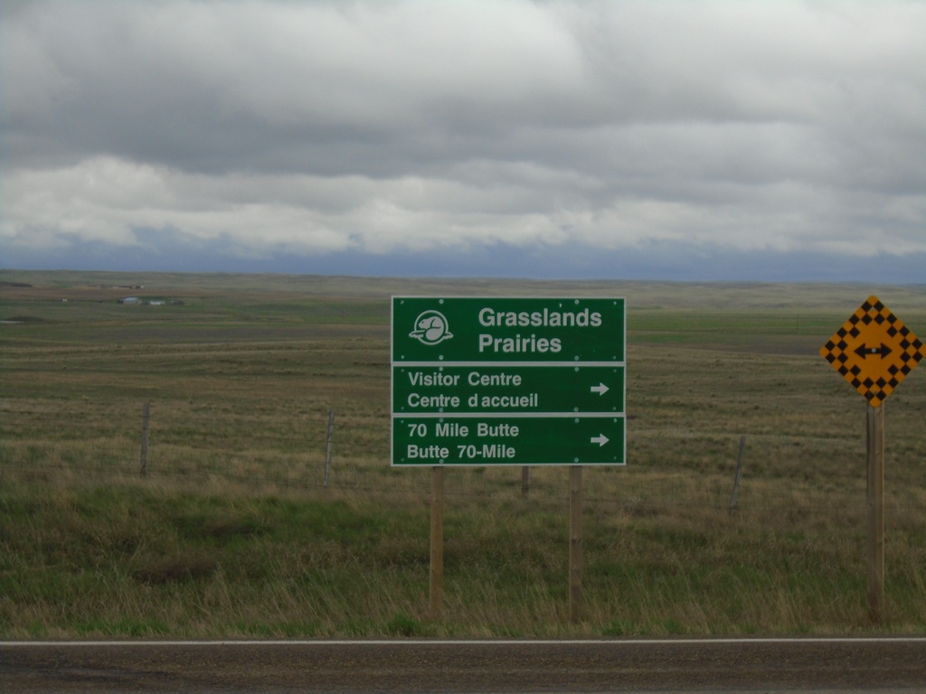
End SK-607 North at SK-4/SK-18
End SK-607 North at SK-4/SK-18 in RM of Val Marie No. 17. Use SK-4 North/SK-18 East for access to Grassland National Park Visitor Center and 70 Mile Butte.
Taken 05-12-2023


 Val Marie
 No. 17
Saskatchewan
Canada
Val Marie
Val Marie No. 17
Saskatchewan
Canada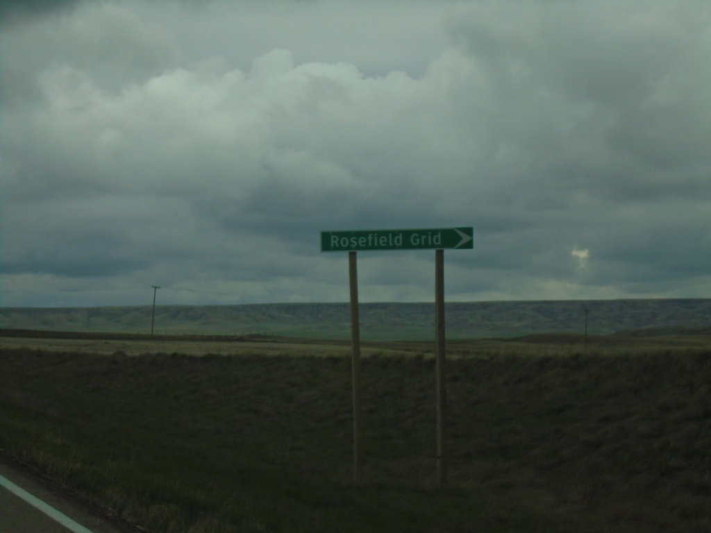
SK-4 North/SK-18 East Approaching SK-607
SK-4 North/SK-18 East Approaching SK-607/Rosefield Grid.
Taken 05-12-2023


 Val Marie
 No. 17
Saskatchewan
Canada
Val Marie
Val Marie No. 17
Saskatchewan
Canada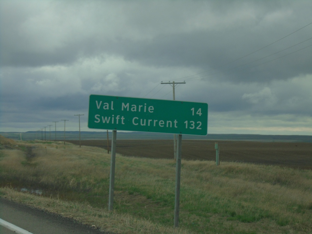
SK-4 North/SK-18 East - Distance Marker
Distance Marker on SK-4 North/SK-18 East. Distance to Val Marie and Swift Current.
Taken 05-12-2023

 Orkney
Val Marie No. 17
Saskatchewan
Canada