Signs Tagged With Big Green Sign
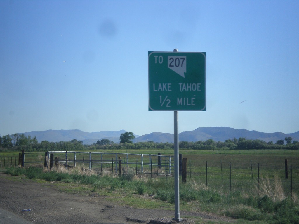
NV-88 North approaching Mottsville Lane/Waterloo Lane Jct.
NV-88 North approaching Mottsville Lane/Waterloo Lane junction. Use Mottsville Lane west for NV-207 and Lake Tahoe (via Kingsbury Grade).
Taken 06-15-2015

 Gardnerville
Douglas County
Nevada
United States
Gardnerville
Douglas County
Nevada
United States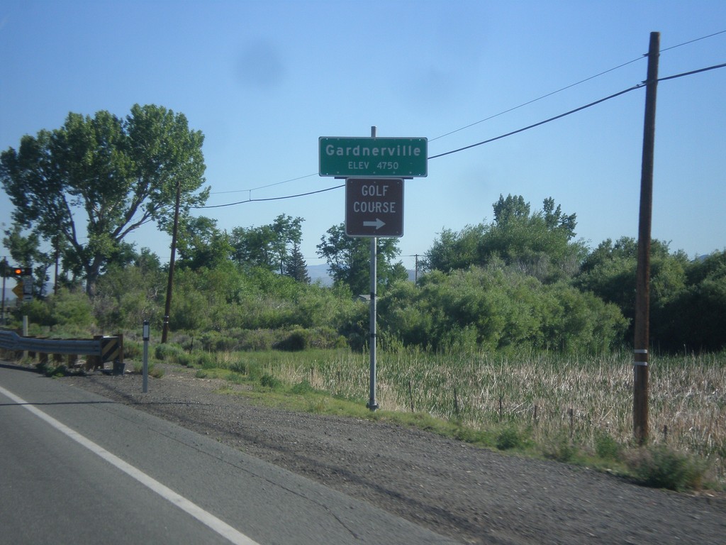
NV-88 North - Gardnerville
Gardnerville - Elevation 4750 Feet on NV-88 North. Approaching NV-756 junction (Centerville Lane) for access to Golf Course.
Taken 06-15-2015
 Gardnerville
Douglas County
Nevada
United States
Gardnerville
Douglas County
Nevada
United States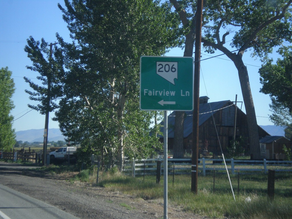
NV-88 North at NV-206
NV-88 north at NV-206/Fairview Lane.
Taken 06-15-2015
 Gardnerville
Douglas County
Nevada
United States
Gardnerville
Douglas County
Nevada
United States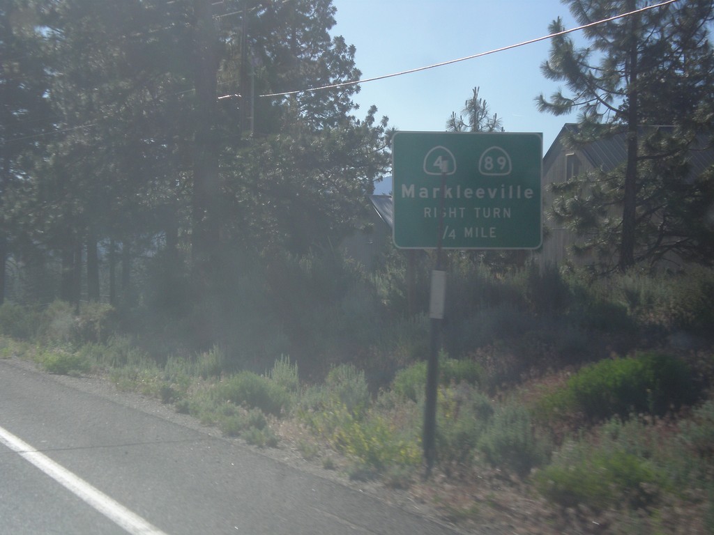
CA-88 East/CA-89 South Approaching CA-89 Jct.
CA-88 East/CA-89 South approaching CA-89/(To) CA-4 junction. Use CA-89 south for CA-4 and Markleeville.
Taken 06-15-2015


 Markleeville
Alpine County
California
United States
Markleeville
Alpine County
California
United States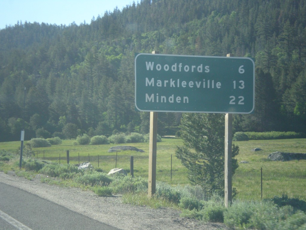
CA-88 East/CA-89 South - Distance Marker
Distance Marker on CA-88 East/CA-89 South. Distance to Woodfords, Markleeville, and Minden (Nevada).
Taken 06-15-2015
Markleeville
Alpine County
California
United States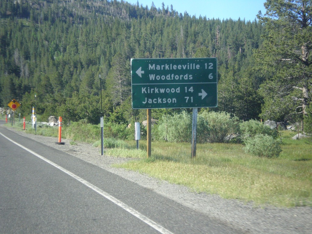
CA-89 South Approaching CA-88
CA-89 South approaching CA-88. Use CA-88 west for Kirkwood and Jackson. Use CA-89 South/CA-89 East for Markleeville and Woodfords. CA-89 south joins CA-88 east to Woodfords.
Taken 06-15-2015
Markleeville
Alpine County
California
United States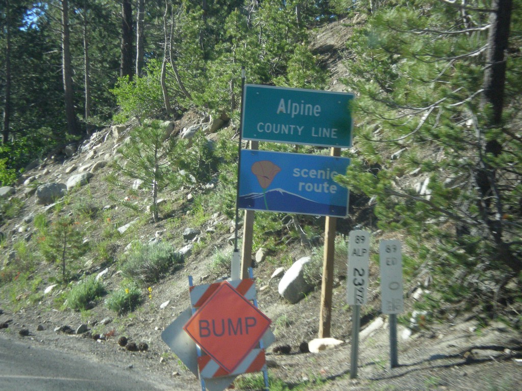
CA-89 South - Alpine County
Alpine County Line on CA-89 south. Alpine County is the smallest county in California by population. CA-89 is posted as a scenic route.
Taken 06-15-2015
Markleeville
Alpine County
California
United States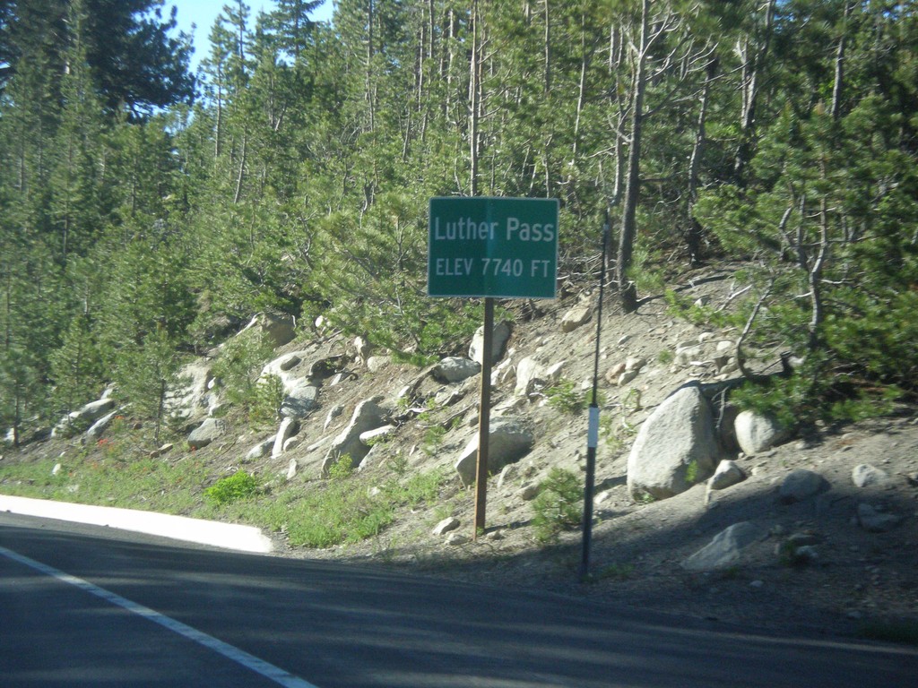
CA-89 South - Luther Pass
Luther Pass - Elevation 7740 Feet. Luther Pass is on the divide between the Lake Tahoe Basin (to the north) and the Carson River.
Taken 06-15-2015
Mesa Vista
Alpine County
California
United States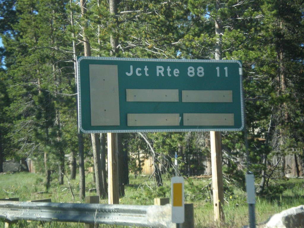
CA-89 South - Distance Marker
Distance marker on CA-89 south. Distance to CA-88 Junction.
Taken 06-15-2015
South Lake Tahoe
El Dorado County
California
United States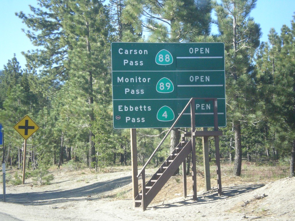
CA-89 South - Summit Information
Summit closure information on CA-89 south. Information for Ebbetts Pass (via CA-4), Monitor Pass (via CA-89) and Carson Pass (via CA-88). This photograph was taken in mid-June, and all of the passes are open. Carson Pass on CA-88 is the only pass that is typically opened year round.
Taken 06-15-2015
South Lake Tahoe
El Dorado County
California
United States