Signs Tagged With Big Green Sign
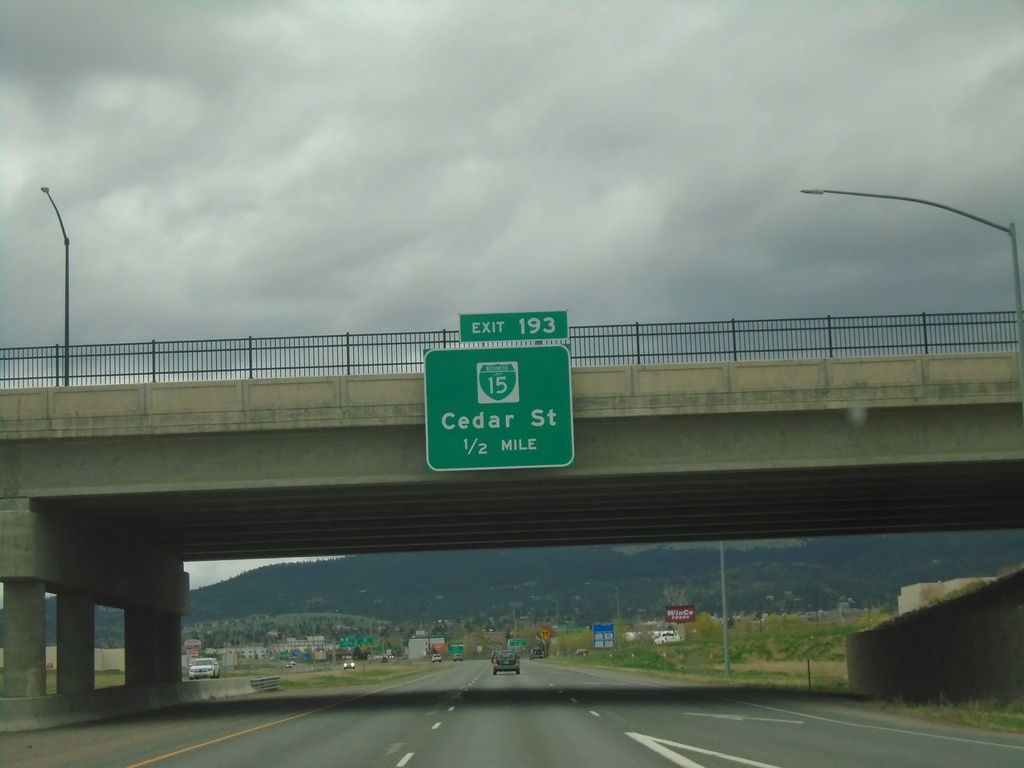
I-15 South - Exit 193
I-15 south approaching Exit 193 - BL-15/Cedar Street.
Taken 05-13-2023


 Helena
Lewis and Clark County
Montana
United States
Helena
Lewis and Clark County
Montana
United States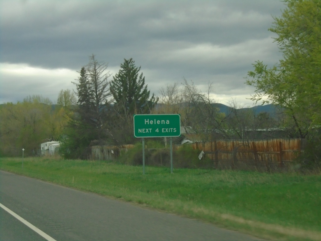
I-15 South - Helena Exits
Helena - Next 4 Exits on I-15 south.
Taken 05-13-2023
Helena
Lewis and Clark County
Montana
United States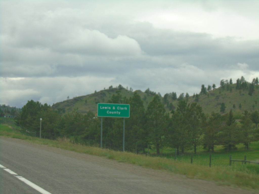
I-15 South - Lewis and Clark County
Entering Lewis and Clark County on I-15 south.
Taken 05-13-2023
Cascade
Lewis and Clark County
Montana
United States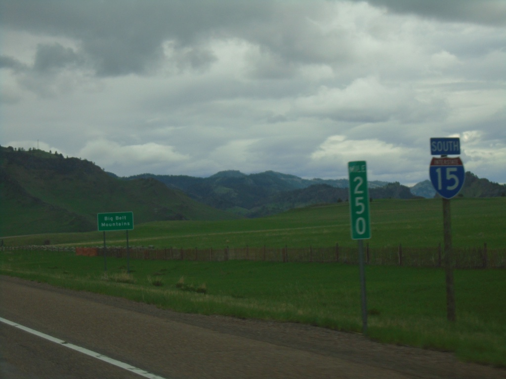
I-15 South - Big Belt Mountains
I-15 south at Milemarker 250. In the background of the picture is a sign indicating the name of the mountains in the background - Big Belt Mountains.
Taken 05-13-2023
Cascade
Cascade County
Montana
United States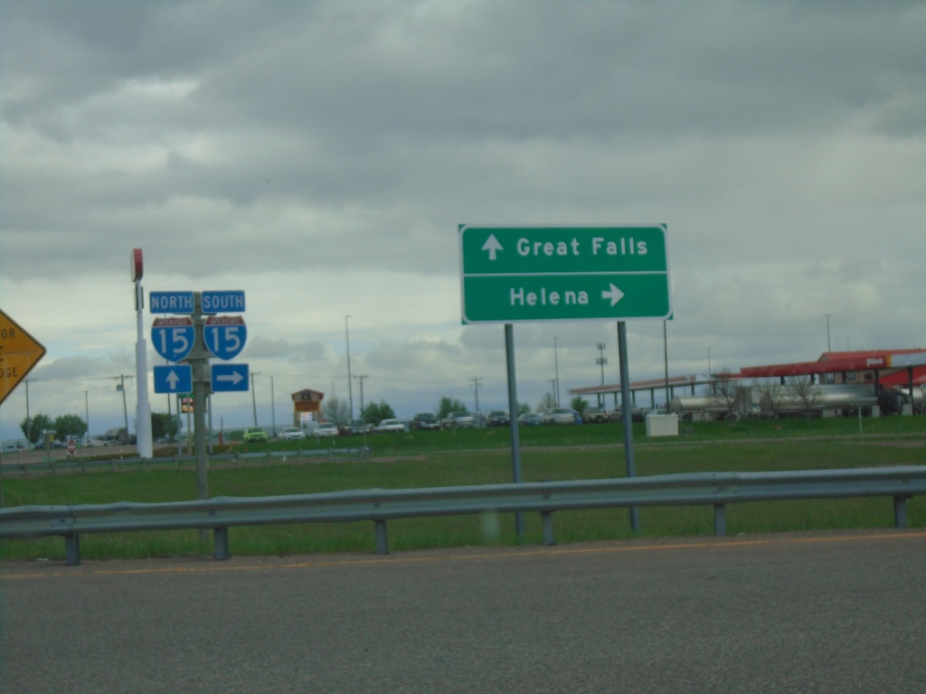
Airport Drive at I-15
Airport Drive at I-15 (Exit 277). Turn right for I-15 south to Helena; continue over freeway for I-15 north to Great Falls.
Taken 05-13-2023
Great Falls
Cascade County
Montana
United States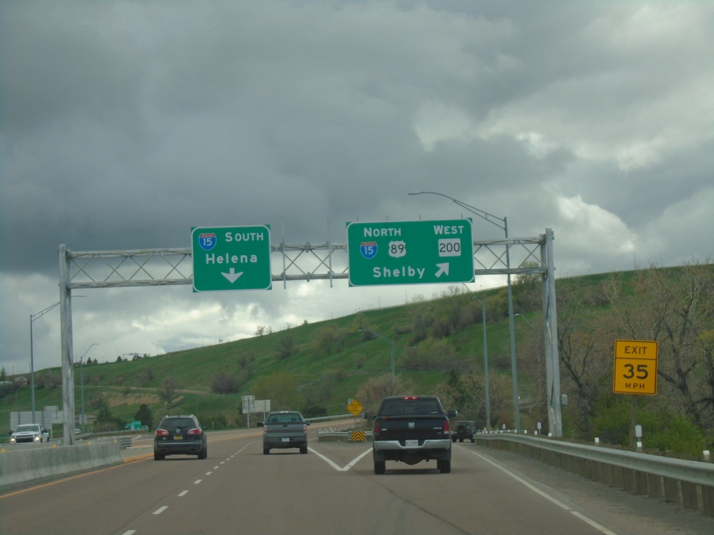
BL-15 South/US-89/MT-3 North/MT-200 West at I-15
BL-15 South/US-89/MT-3 North/MT-200 West at I-15 junction. Merge right for I-15/US-89 North/MT-200 West to Shelby. Use I-15 south for Helena. MT-3 northbound and BL-15 southbound end here.
Taken 05-13-2023


 Great Falls
Cascade County
Montana
United States
Great Falls
Cascade County
Montana
United States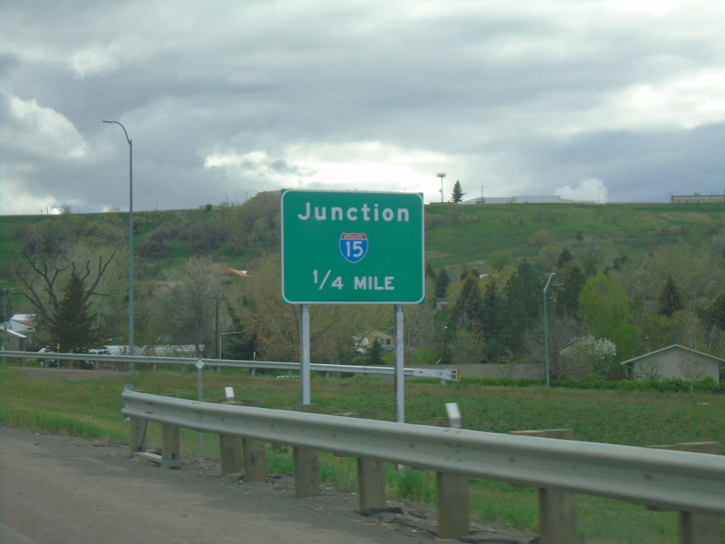
BL-15 South/US-89/MT-3 North/MT-200 West Approaching I-15
BL-15 South/US-89/MT-3 North/MT-200 West approaching I-15 on 10th Ave. South.
Taken 05-13-2023
Great Falls
Cascade County
Montana
United States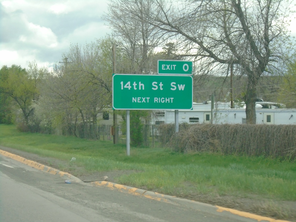
BL-15 South/US-89/MT-3 North/MT-200 West Approaching Exit 0
BL-15 South/US-89/MT-3 North/MT-200 West approaching Exit 0 - 14th St SW.
Taken 05-13-2023
Great Falls
Cascade County
Montana
United States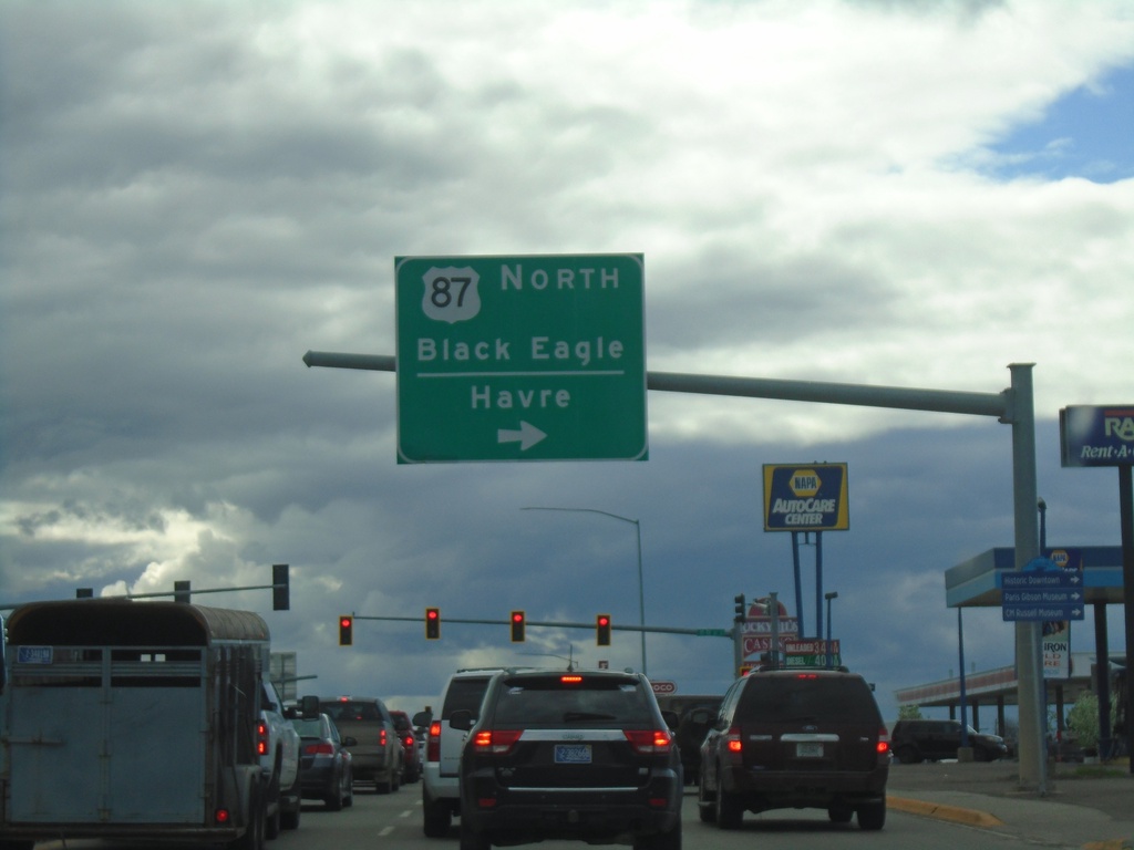
US-87/US-89/MT-3 North/MT-200 West at US-87 North Split
US-87/US-89/MT-3 North/MT-200 West (10th Ave. South) at US-87 North Split (15th St. South). Turn right to continue north on US-87 to Black Eagle and Havre.
Taken 05-13-2023
 Great Falls
Cascade County
Montana
United States
Great Falls
Cascade County
Montana
United States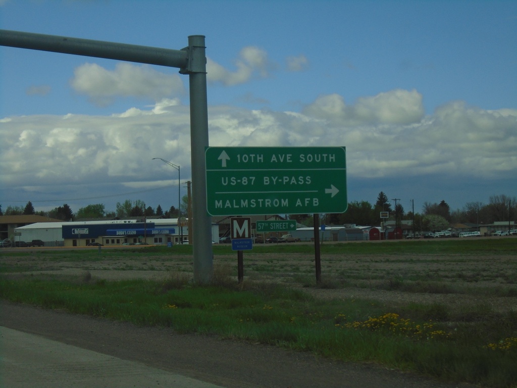
US-87/US-89/MT-3 North/MT-200 West at US-87 Bypass
US-87/US-89/MT-3 North/MT-200 West at US-87 Bypass (57th St. South). Turn right for Malmstrom AFB. Continue straight for US-87/US-89/MT-3 North/MT-200 West (10th Ave South).
Taken 05-13-2023
 Great Falls
Cascade County
Montana
United States
Great Falls
Cascade County
Montana
United States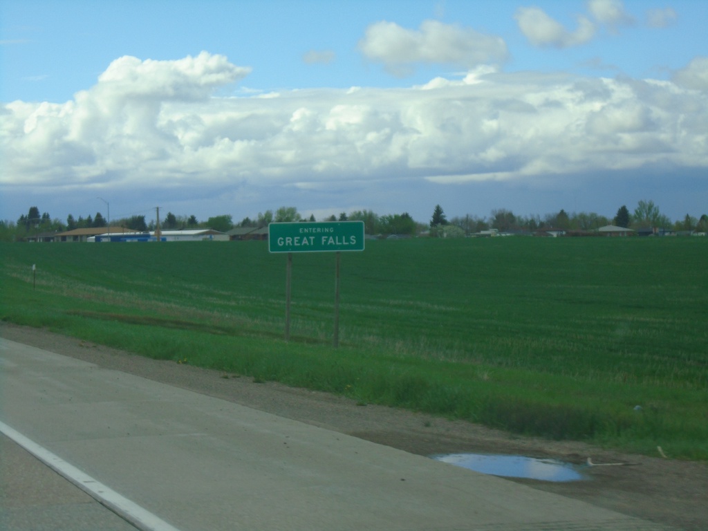
US-87/US-89/MT-3 North/MT-200 West - Great Falls
Entering Great Falls on US-87/US-89/MT-3 North/MT-200 West. Great Falls is the 3rd largest city in Montana.
Taken 05-13-2023
Great Falls
Cascade County
Montana
United States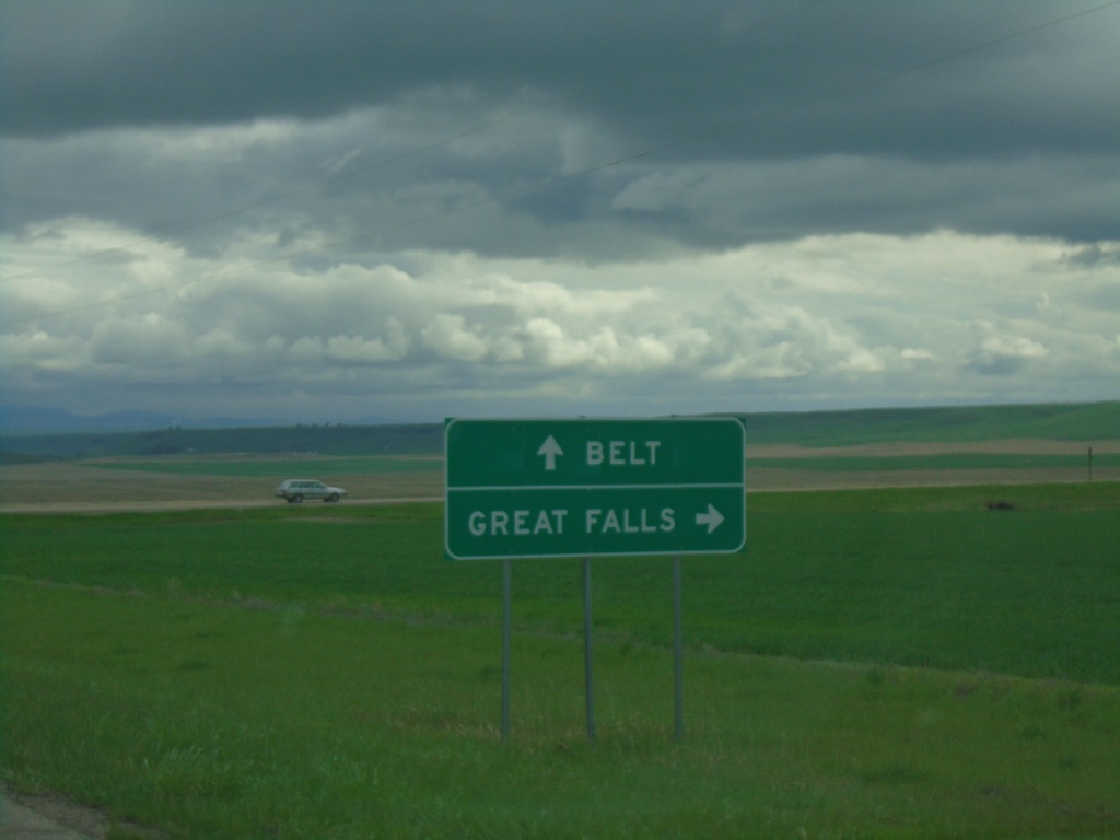
MTS-228 South at MTS-331
MTS-228 South at MTS-331 in Cascade County. Turn right to continue south on MTS-228 to Great Falls. Continue straight for MTS-331 south to Belt.
Taken 05-13-2023

 Great Falls
Cascade County
Montana
United States
Great Falls
Cascade County
Montana
United States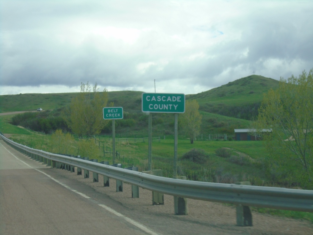
MTS-228 South - Cascade County
Entering Cascade County at Belt Creek bridge on MTS-228 south.
Taken 05-13-2023
Great Falls
Cascade County
Montana
United States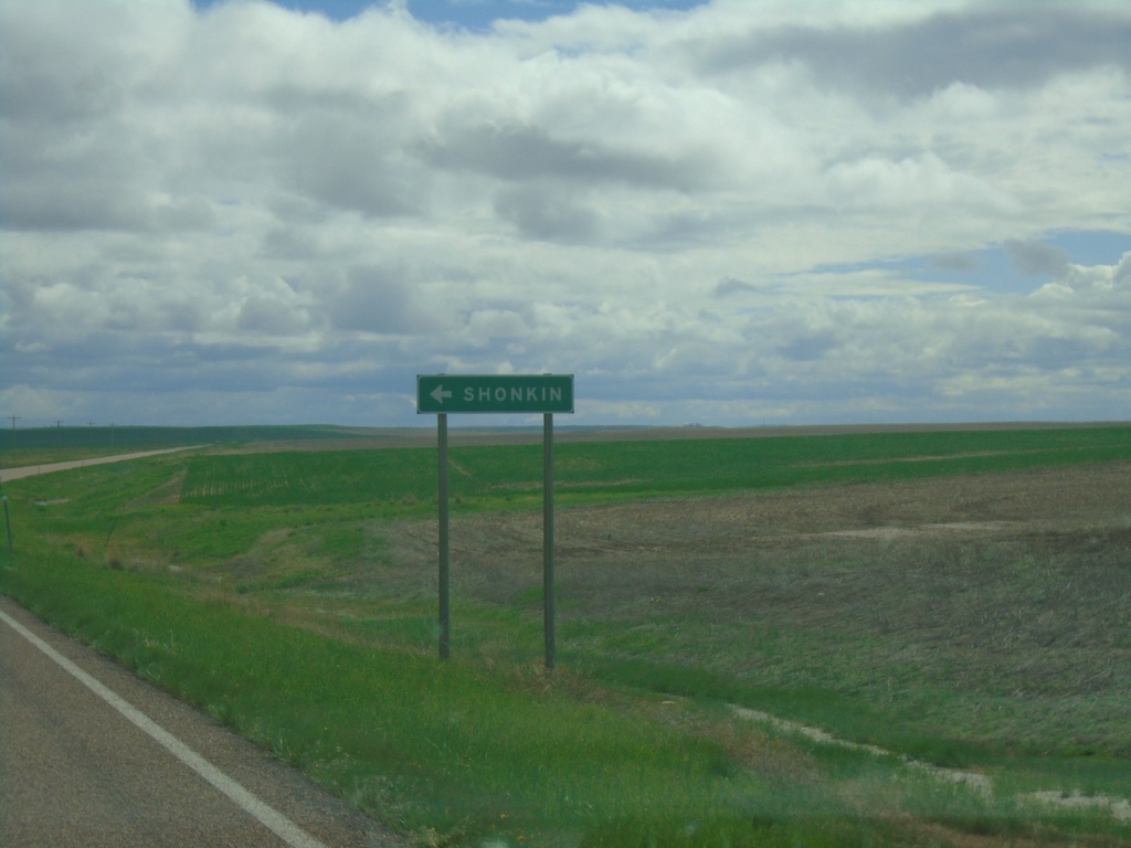
MTS-228 South at Shonkin Junction
MTS-228 South at Shonkin junction.
Taken 05-13-2023
Fort Benton
Chouteau County
Montana
United States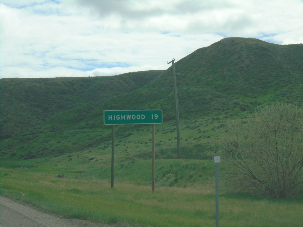
MTS-228 South - Distance Marker
Distance marker to Highwood on MTS-228 south
Taken 05-13-2023
Fort Benton
Chouteau County
Montana
United States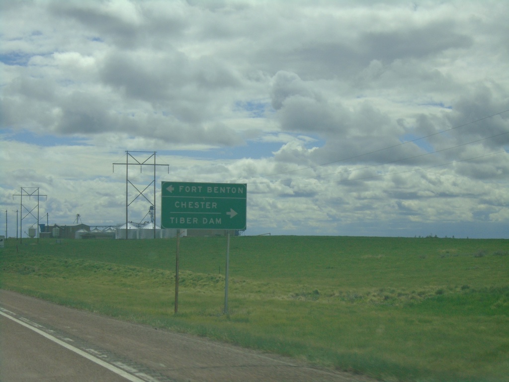
US-87 South at MT-80 and MTS-223
US-87 South at MT-80 and MTS-223. Use MT-80 for Fort Benton; use MTS-223 for Chester and Tiber Dam.
Taken 05-13-2023

 Fort Benton
Chouteau County
Montana
United States
Fort Benton
Chouteau County
Montana
United States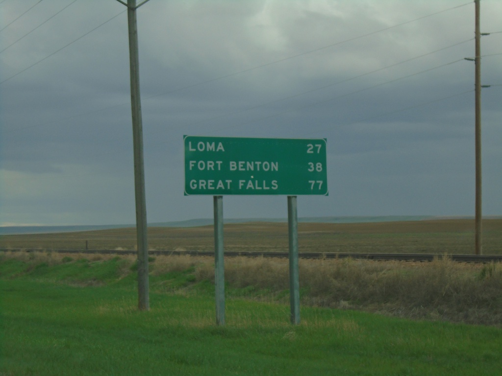
US-87 South - Distance Marker
Distance marker on US-87 south. Distance to Loma, Fort Benton, and Great Falls.
Taken 05-13-2023
Big Sandy
Chouteau County
Montana
United States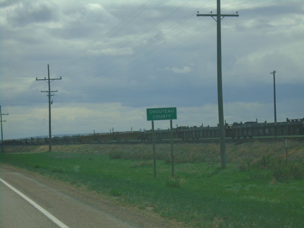
US-87 South - Chouteau County
Entering Chouteau County on US-87 south.
Taken 05-13-2023
Box Elder
Chouteau County
Montana
United States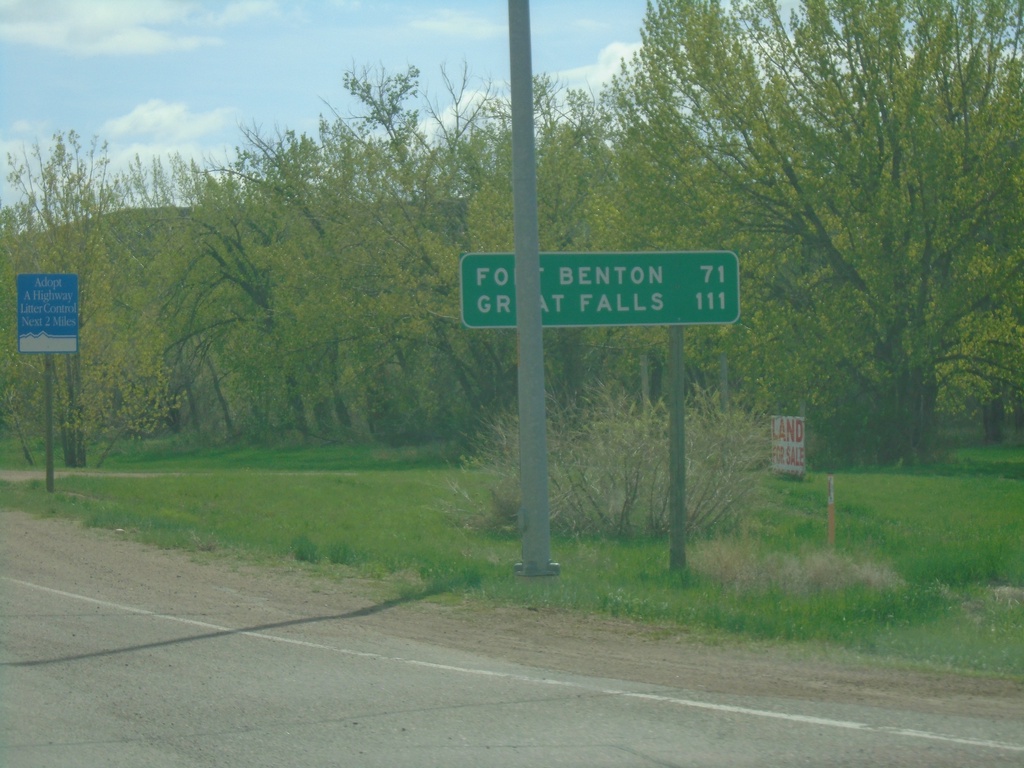
US-87 South - Distance Marker
Distance marker on US-87 southbound . Distance to Fort Benton and Great Falls.
Taken 05-13-2023
Havre
Hill County
Montana
United States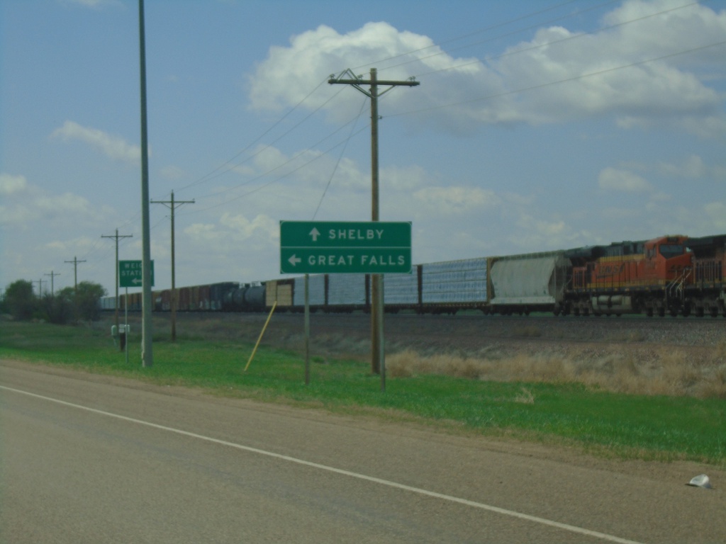
US-2 West at US-87 South
US-2 west approaching US-87 south. Use US-87 south for Great Falls; continue west on US-2 for Shelby.
Taken 05-13-2023
 Havre
Hill County
Montana
United States
Havre
Hill County
Montana
United States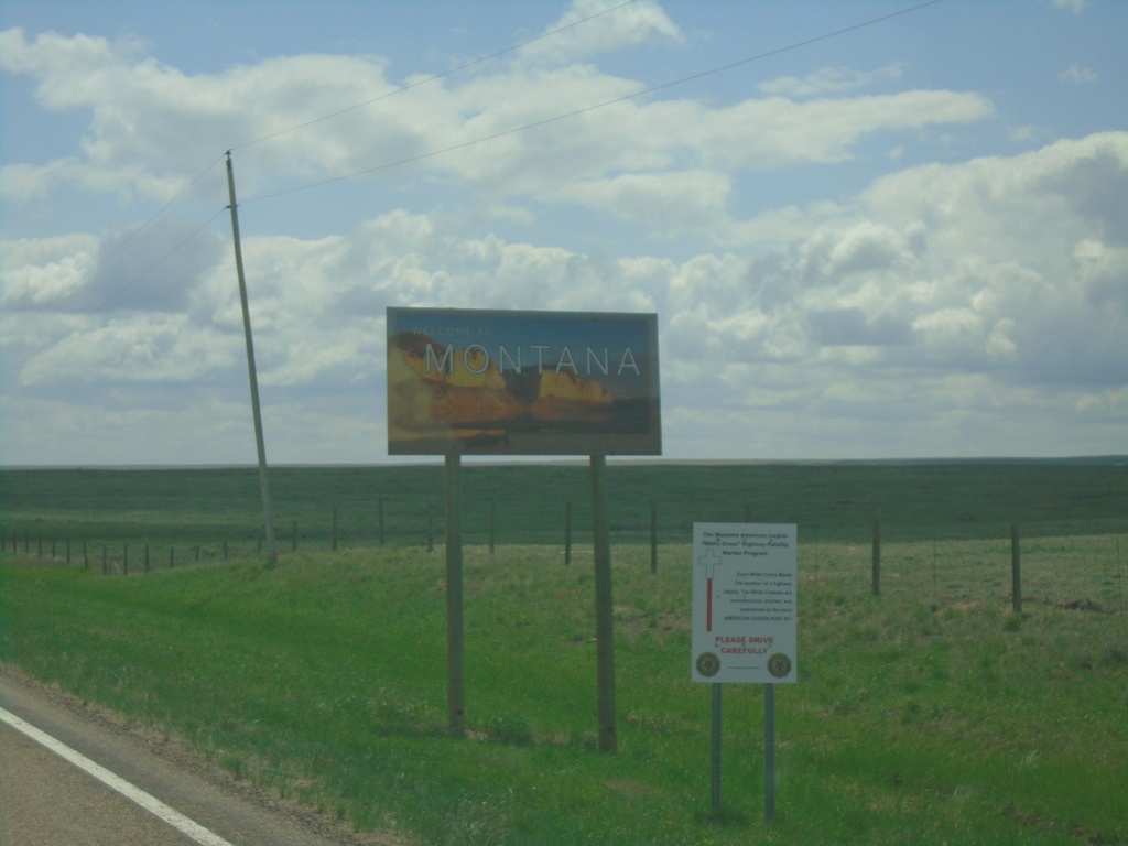
MTS-233 South - Welcome To Montana
Welcome To Montana on MTS-233 south, taken just south of the US/Canada boundary.
Taken 05-13-2023
 Havre
Hill County
Montana
United States
Havre
Hill County
Montana
United States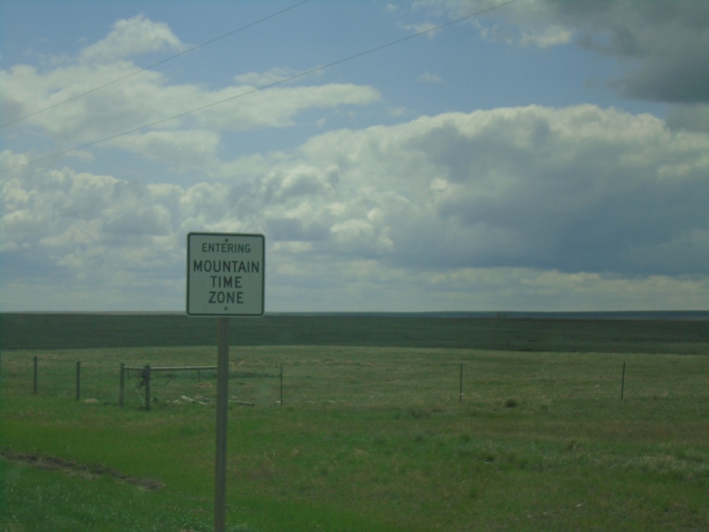
MTS-233 South - Entering Mountain Time Zone
Entering Mountain Time Zone on MTS-233 south. Taken south of the US/Canada boundary.
Taken 05-13-2023
Havre
Hill County
Montana
United States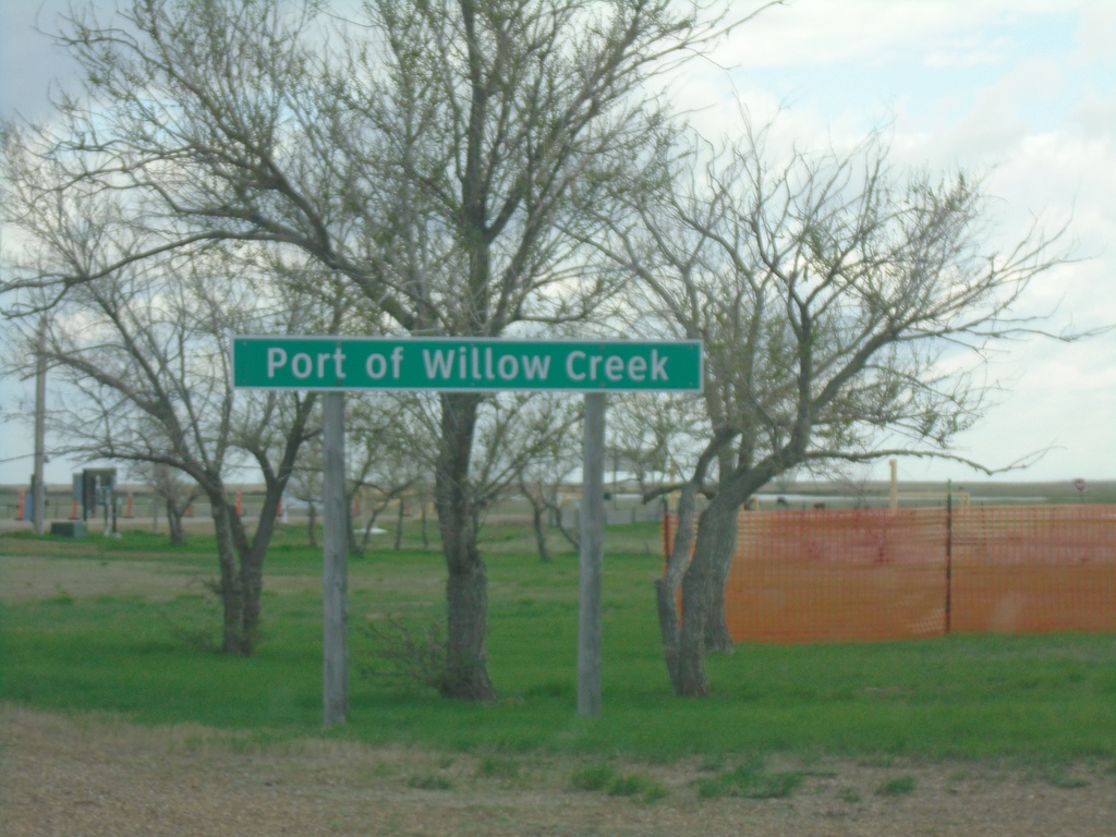
SK-21 South - Port of Willow Creek
Entering Port of Willow Creek on SK-21 southbound. Port of Willow Creek is the name of the port of entry on both sides of the United States and Canada border.
Taken 05-13-2023
 Willow Creek
Reno No. 51
Saskatchewan
Canada
Willow Creek
Reno No. 51
Saskatchewan
Canada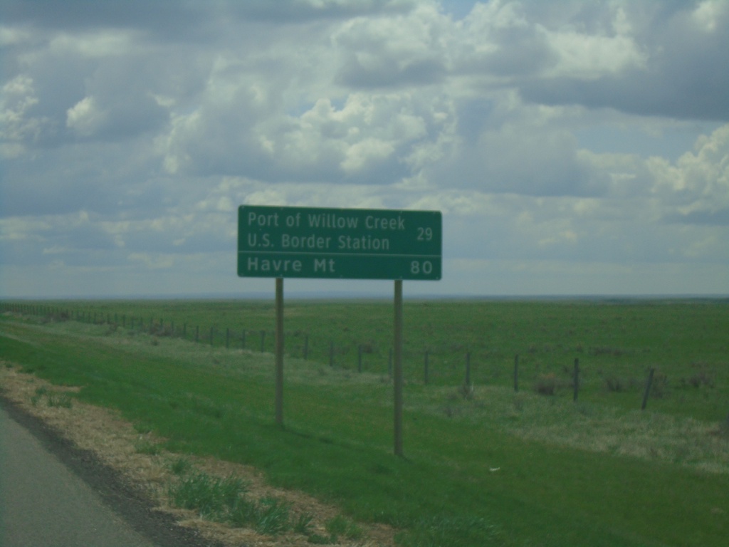
SK-21 South - Distance Marker
Distance marker on SK-21 south. Distance to Port of Willow Creek US Border Station and Havre, MT (United States).
Taken 05-13-2023
Consul
Reno No. 51
Saskatchewan
Canada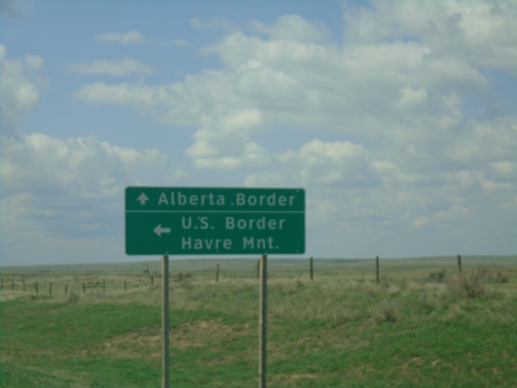
SK-13 West/SK-21 South Approaching SK-13/SK-21 Split
SK-13 West/SK-21 South approaching SK-13/SK-21 split. Use SK-13 west to the Alberta Border; use SK-21 south for the US Border and Havre, Montana.
Taken 05-13-2023
 Consul
Reno No. 51
Saskatchewan
Canada
Consul
Reno No. 51
Saskatchewan
Canada