Signs Tagged With Big Green Sign
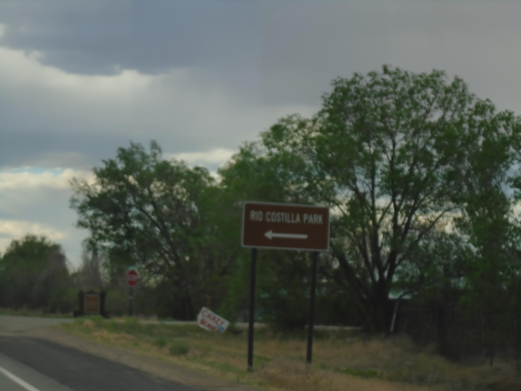
NM-522 South at NM-196
NM-522 South at NM-196 to Rio Costilla Park.
Taken 06-18-2026

 Costilla
Taos County
New Mexico
United States
Costilla
Taos County
New Mexico
United States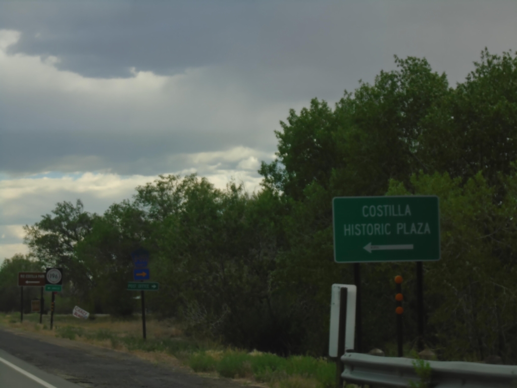
NM-522 South Approaching NM-196
NM-522 South approaching NM-196 to Costilla Historic Plaza.
Taken 06-18-2026
Costilla
Taos County
New Mexico
United States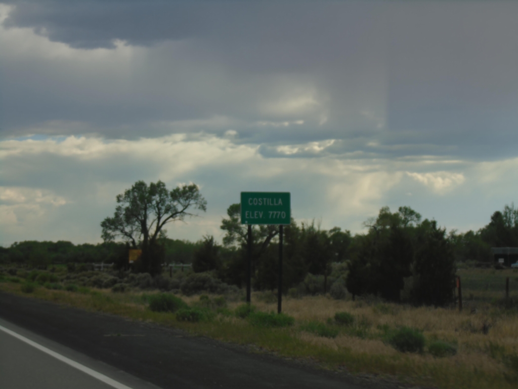
NM-522 South - Costilla
Entering Costilla - Elevation 7770 on NM-522 South.
Taken 06-18-2026
Costilla
Taos County
New Mexico
United States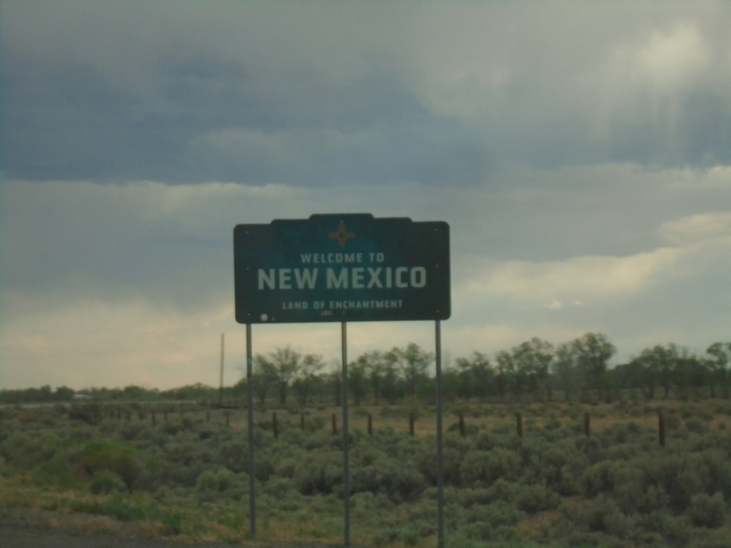
NM-522 South - Welcome To New Mexico
Welcome To New Mexico - Land of Enchantment on NM-522 South. Taken at the Colorado/New Mexico State Line.
Taken 06-18-2026
Costilla
Taos County
New Mexico
United States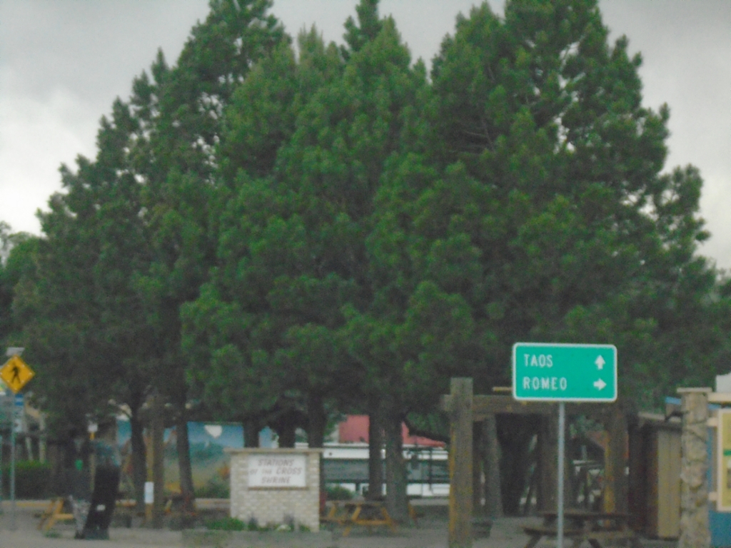
CO-159 South at CO-142
CO-159 South at CO-142 in San Luis. Use CO-142 west to Romeo; continue south on CO-152 to Taos (New Mexico).
Taken 06-18-2026

 San Luis
Costilla County
Colorado
United States
San Luis
Costilla County
Colorado
United States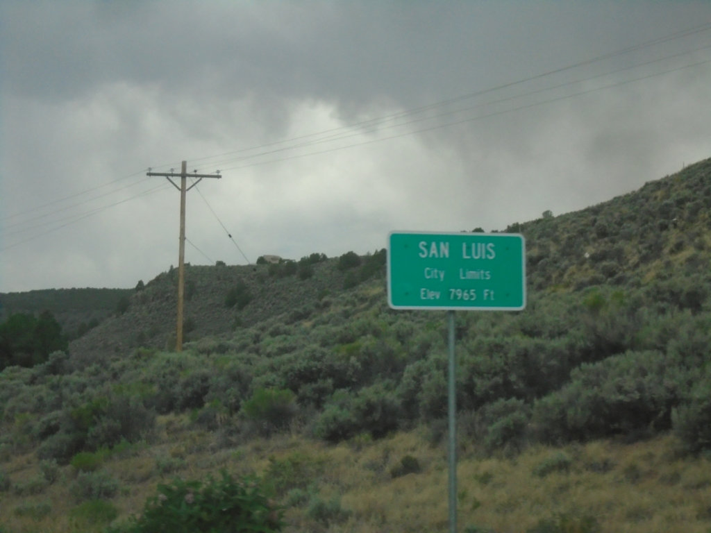
CO-159 South - San Luis
San Luis City Limits - Elevation 7965 Feet. San Luis is the county seat of Costilla County. San Luis is the oldest continuously occupied town in Colorado.
Taken 06-18-2026
San Luis
Costilla County
Colorado
United States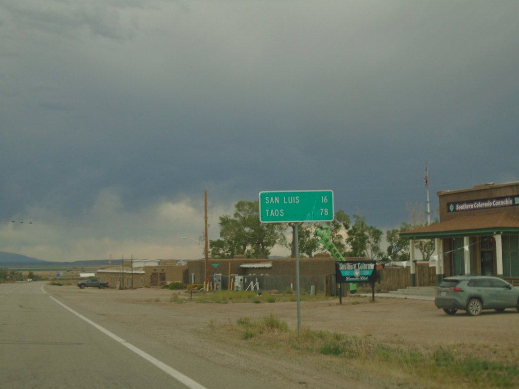
CO-159 South - Distance Marker
Distance marker on CO-159 south. Distance to San Luis and Taos (New Mexico).
Taken 06-18-2026
Fort Garland
Costilla County
Colorado
United States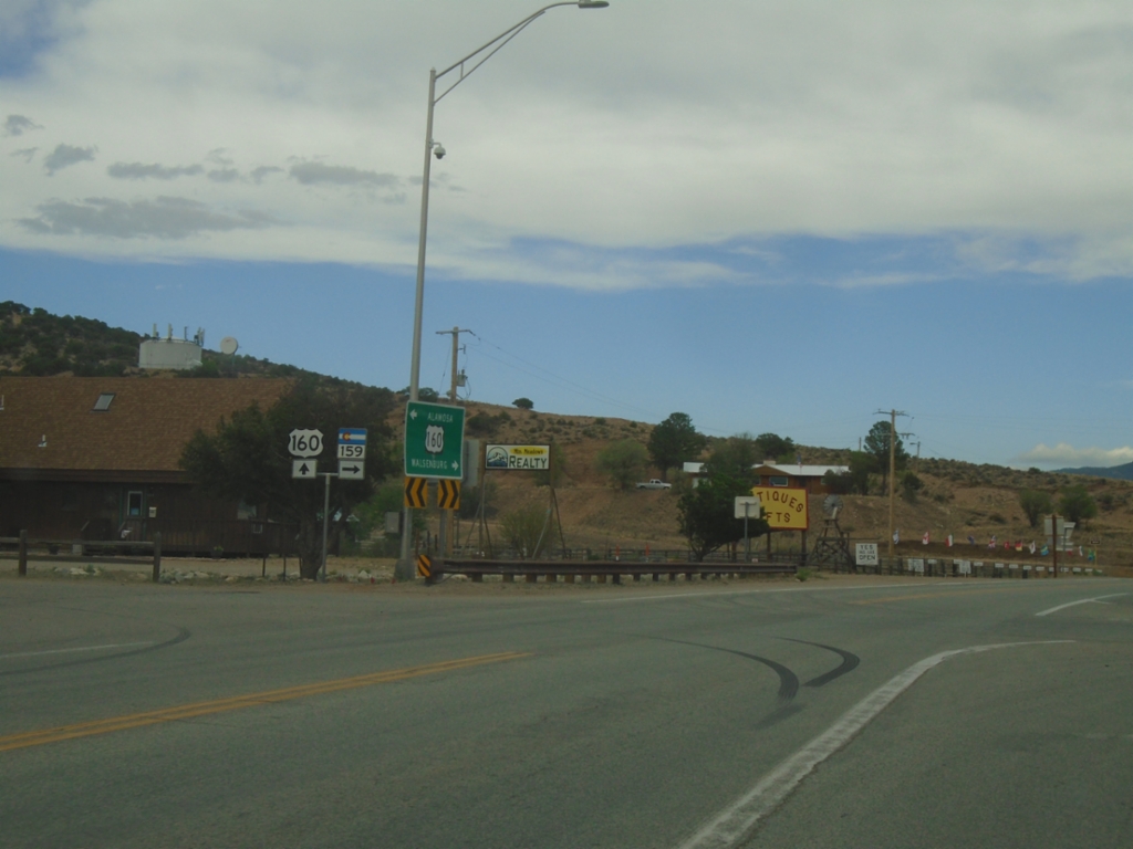
US-160 East at CO-159
US-160 East at CO-159 in Fort Garland.
Taken 06-18-2026
 Fort Garland
Costilla County
Colorado
United States
Fort Garland
Costilla County
Colorado
United States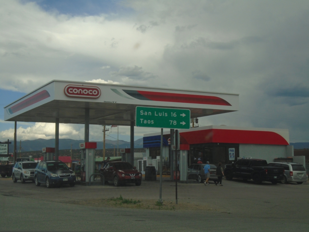
US-160 East at CO-159 South
US-160 East at CO-159 South in Fort Garland. Use CO-159 south to San Luis and Taos (New Mexico).
Taken 06-18-2026
Fort Garland
Costilla County
Colorado
United States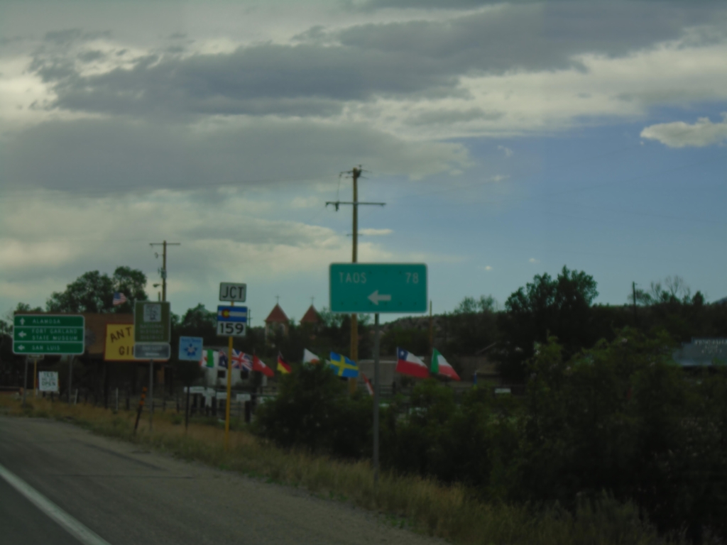
US-160 West Approaching CO-159
US-160 West approaching CO-159 in Fort Garland. Use CO-159 South to Taos (New Mexico), San Luis, and Fort Garland State Museum. Continue west on US-160 for Alamosa.
Taken 06-18-2026
Fort Garland
Costilla County
Colorado
United States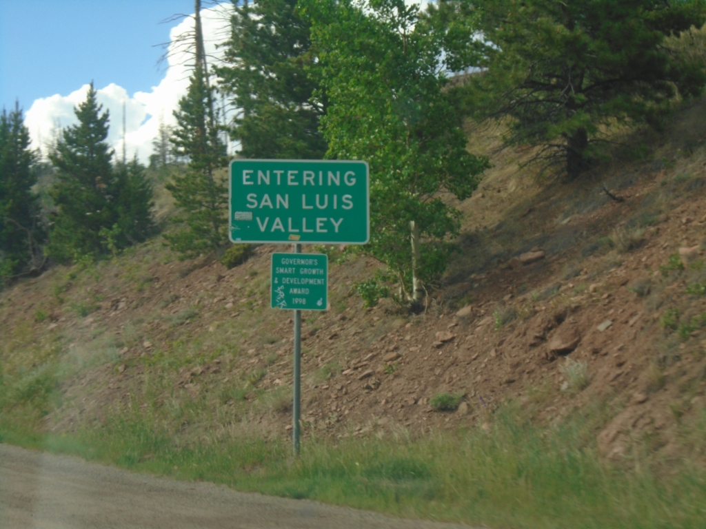
US-160 West - San Luis Valley
Entering the San Luis Valley on US-160 West at North La Veta Pass. San Luis Valley is considered the largest alpine valley in the world.
Taken 06-18-2026
Costilla County
Colorado
United States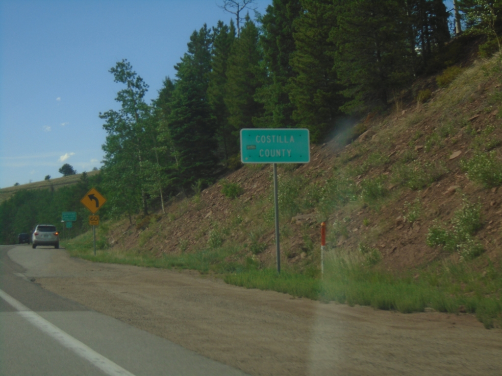
US-160 West - Costilla County
Costilla County on US-160 West at North La Veta Pass in the Sangre de Cristo Mountain Range.
Taken 06-18-2026
Costilla County
Colorado
United States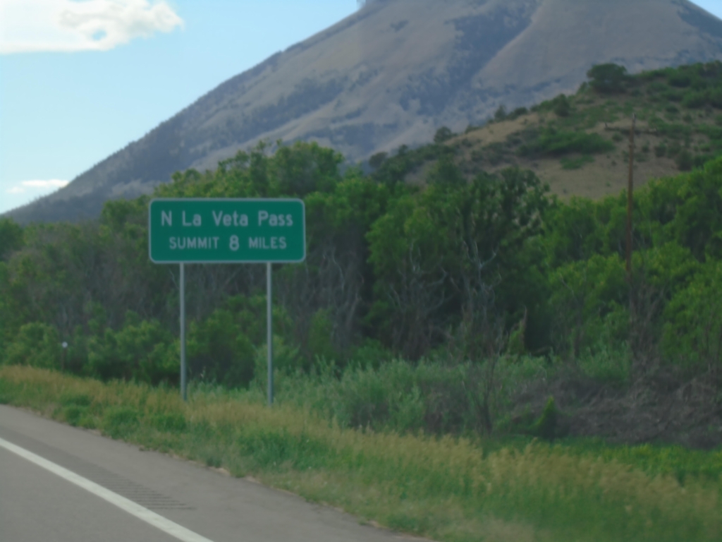
US-160 West Approaching North La Veta Pass
US-160 West - North La Veta Pass Summit 8 Miles. North La Veta Pass crosses the Sangre de Cristo Mountain Range.
Taken 06-18-2026
Huerfano County
Colorado
United States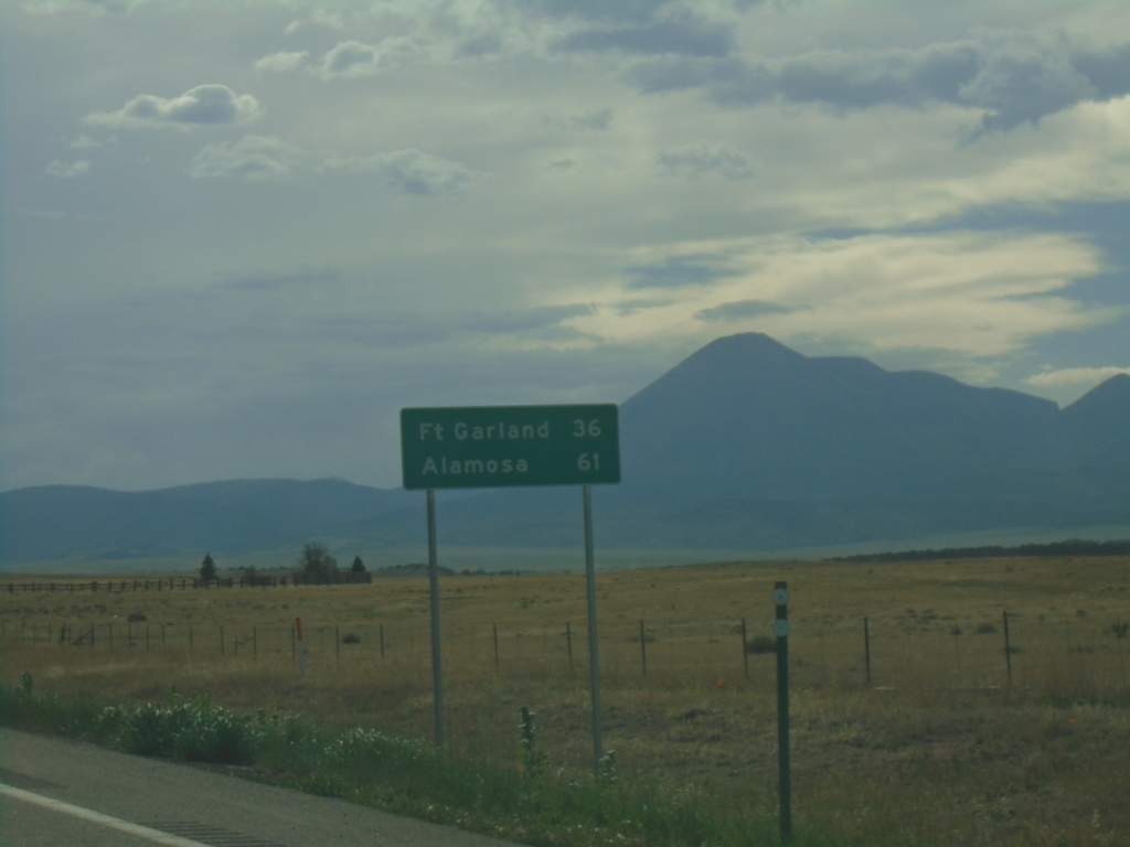
US-160 West - Distance Marker
Distance marker on US-160 west. Distance to Fort Garland and Alamosa.
Taken 06-18-2026
Huerfano County
Colorado
United States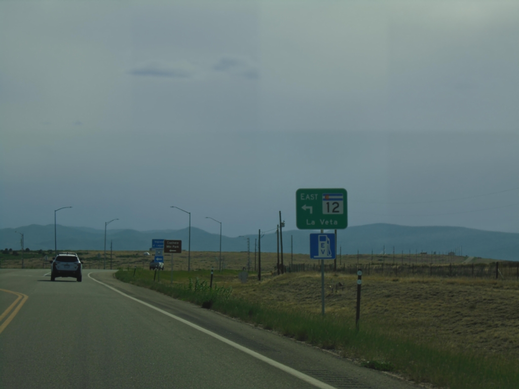
US-160 West at CO-160 East
US-160 West at CO-160 East to La Veta
Taken 06-18-2026
 Huerfano County
Colorado
United States
Huerfano County
Colorado
United States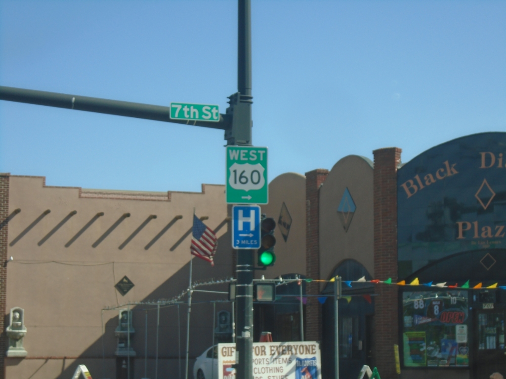
US-160 West/BL-25 South at US-160 West
US-160 West/BL-25 South (Main Street) at US-160 West (7th St.) in Walsenburg.
Taken 06-18-2026
 Walsenburg
Huerfano County
Colorado
United States
Walsenburg
Huerfano County
Colorado
United States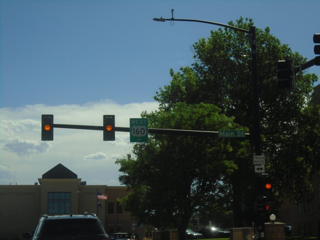
US-160 West at BL-25
US-160 West (E 5th St.) at BL-25 (Main Street) in Walsenburg. Turn left on Main Street to continue west on US-160.
Taken 06-18-2026
Walsenburg
Huerfano County
Colorado
United States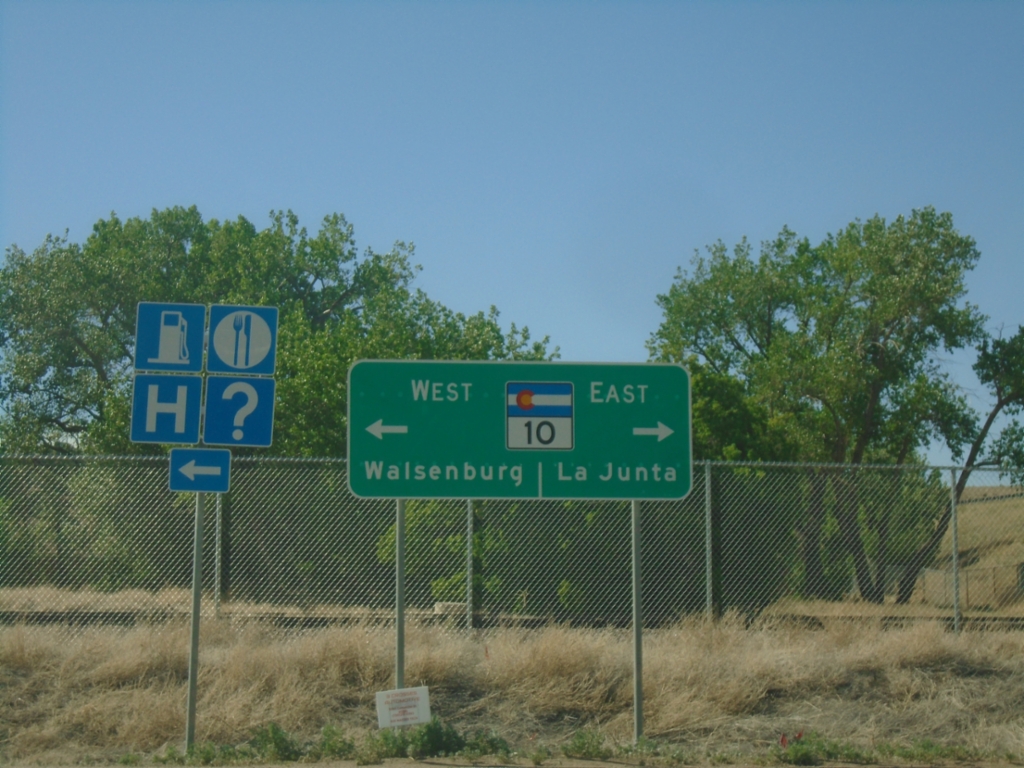
I-25 South at CO-10/US-160 (Exit 50)
I-25 South at CO-10/US-160 (Exit 50) in Walsenburg. Use CO-10 East to La Junta. Use US-160 West to Walsenburg. US-160 is absent from the sign assembly, and it shows CO-10 west going into Walsenburg.
Taken 06-18-2026


 Walsenburg
Huerfano County
Colorado
United States
Walsenburg
Huerfano County
Colorado
United States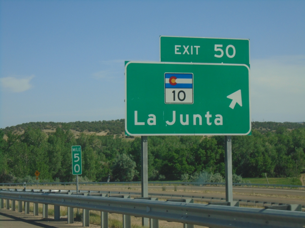
I-25 South - Exit 50
I-25 south at Exit 50 - CO-10/La Junta. US-160 joins I-25 south here to Trinidad.
Taken 06-18-2026
Walsenburg
Huerfano County
Colorado
United States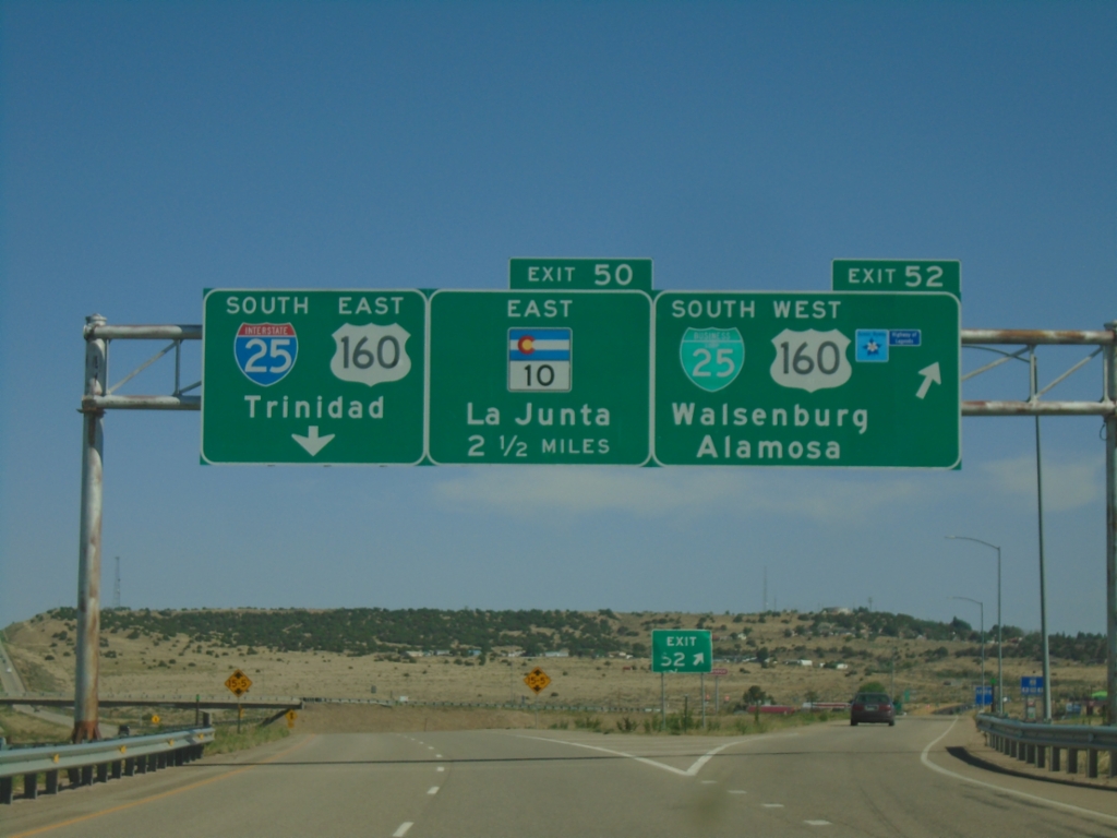
I-25 South - Exits 52 and 50
I-25 south at Exit 52 - BL-25 South/US-160 West/Walsenburg/Alamosa. Approaching Exit 50 - CO-10 East/La Junta. US-160 actually joins I-25 at Exit 50, but this is a quicker route from the north into Walsenburg. Continue south on I-25/US-160 East for Trinidad.
Taken 06-18-2026
Walsenburg
Huerfano County
Colorado
United States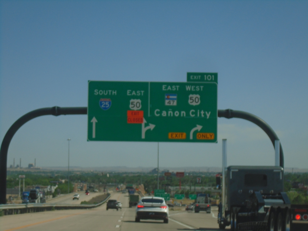
I-25 South - Exit 101
I-25 south at Exit 101 - US-50 West/CO-47 East/Cañon City. US-50 East joins I-25 South through Pueblo.
Taken 06-18-2026

 Pueblo
 County
Colorado
United States
Pueblo
Pueblo County
Colorado
United States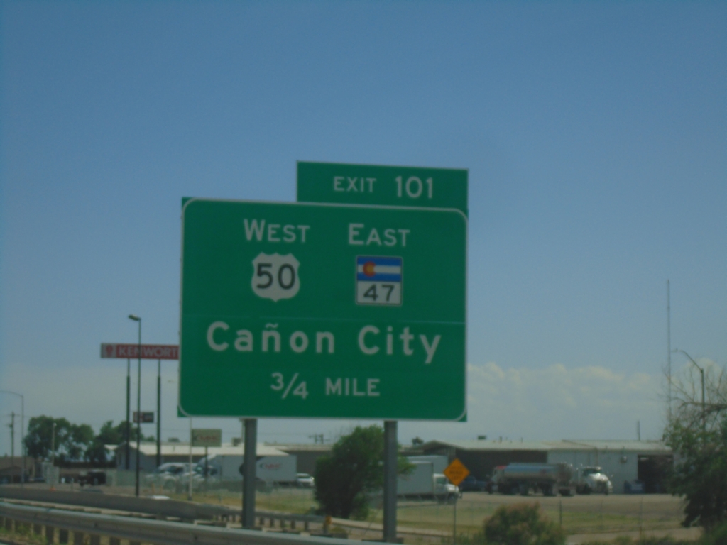
I-25 South - Exit 101
I-25 south approaching Exit 101 - US-50 West/CO-47 East/Cañon City. US-50 East joins I-25 Southbound through Pueblo.
Taken 06-18-2026
Pueblo
Pueblo County
Colorado
United States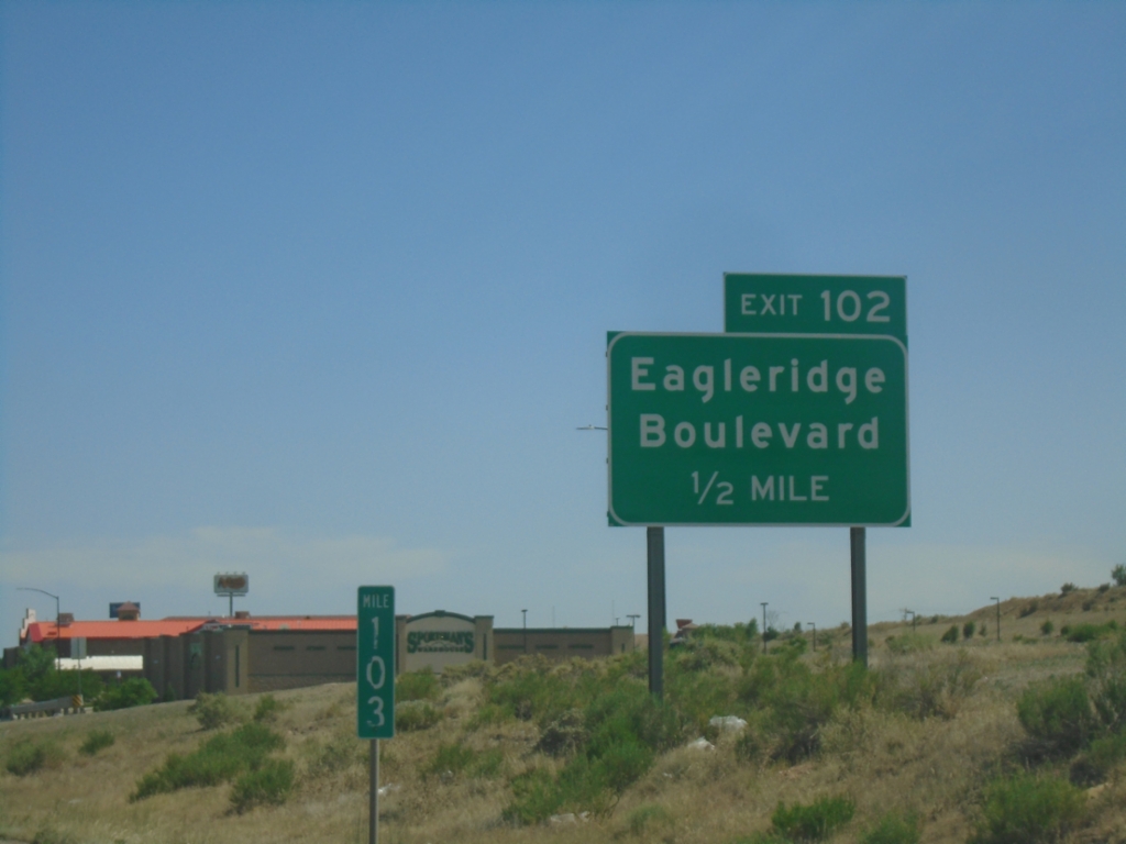
I-25 South - Exit 102
I-25 south approaching Exit 102 - Eagleridge Blvd.
Taken 06-18-2026
Pueblo
Pueblo County
Colorado
United States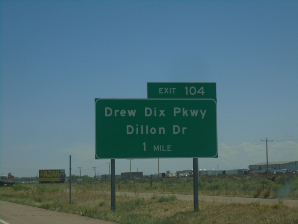
I-25 South - Exit 104
I-25 south approaching Exit 104 - Drew Dix Parkway/Dillon Drive.
Taken 06-18-2026
Pueblo
Pueblo County
Colorado
United States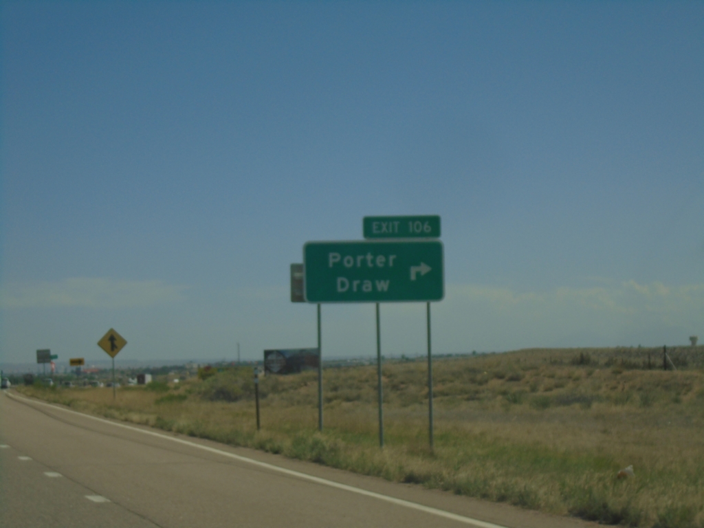
I-25 South - Exit 106
I-25 south at Exit 106 - Porter Draw
Taken 06-18-2026
Pueblo County
Colorado
United States