Signs Tagged With Big Green Sign
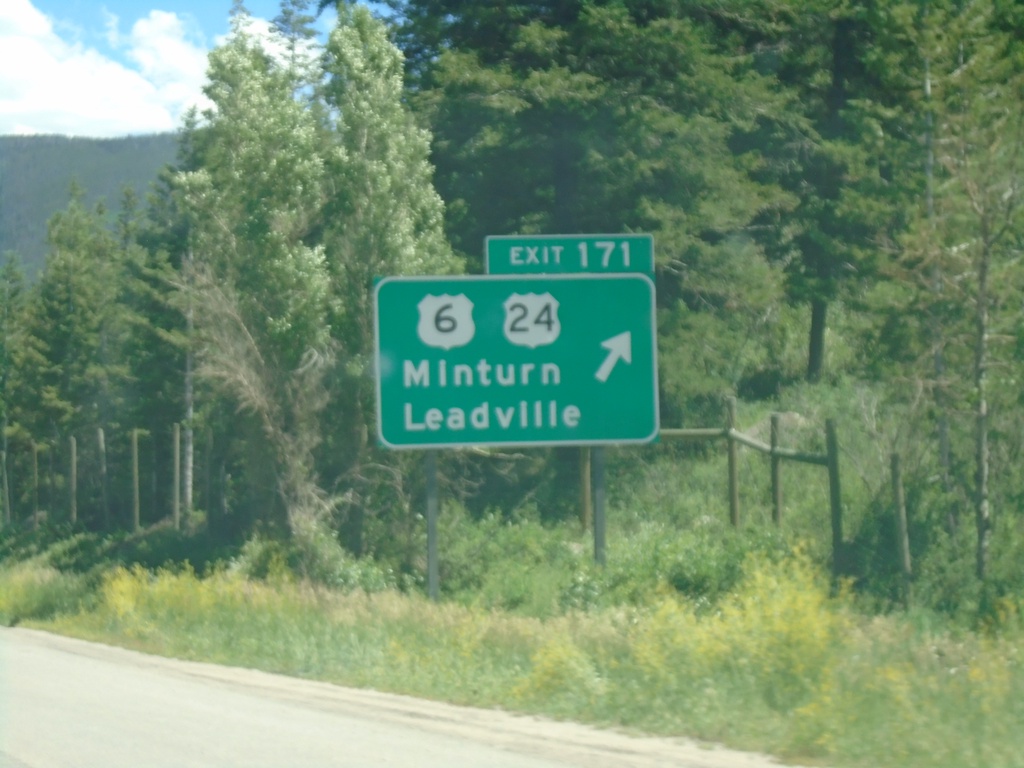
I-70 East - Exit 171
I-70 east at US-6/US-24/Minturn/Leadville. This is the western beginning of US-24.
Taken 07-09-2022


 Minturn
Eagle County
Colorado
United States
Minturn
Eagle County
Colorado
United States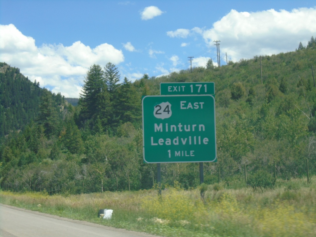
I-70 East - Exit 171
I-70 east approaching Exit 171 - US-24 East/Minturn/Leadville.
Taken 07-09-2022
Vail
Eagle County
Colorado
United States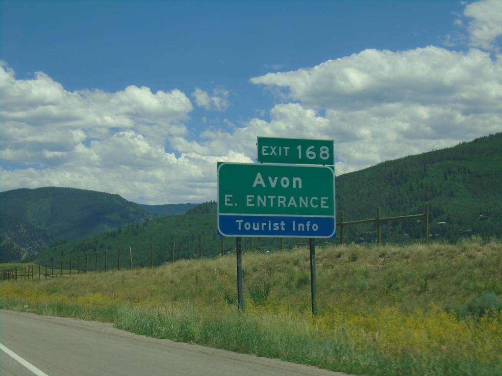
I-70 East - Exit 168
I-70 east at Exit 168 - Avon East Entrance
Taken 07-09-2022
Vail
Eagle County
Colorado
United States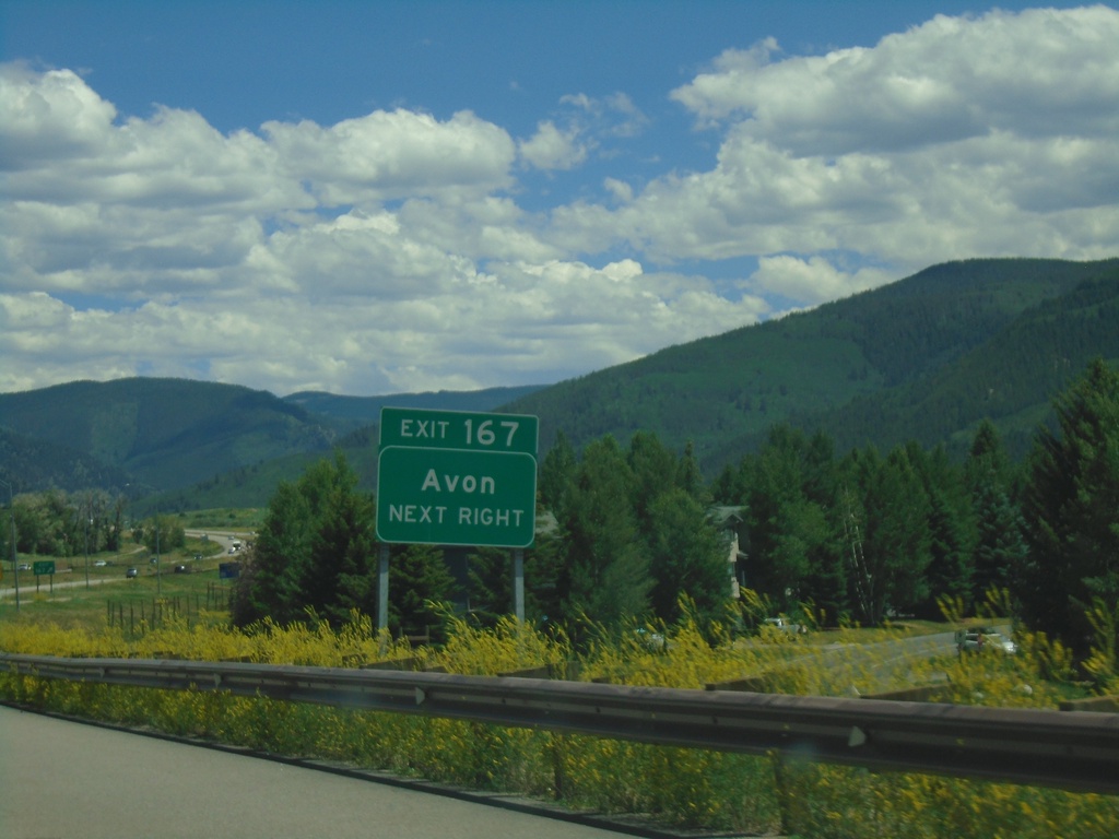
I-70 East - Exit 167
I-70 east at Exit 167 - Avon
Taken 07-09-2022
Avon
Eagle County
Colorado
United States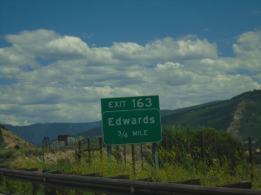
I-70 East - Exit 163
I-70 east approaching Exit 163 - Edwards
Taken 07-09-2022
Edwards
Eagle County
Colorado
United States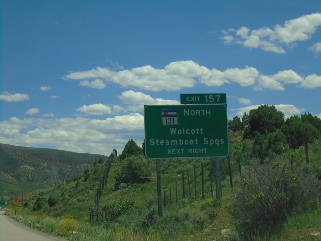
I-70 East - Exit 157
I-70 east at Exit 157 - CO-131 North/Wolcott/Steamboat Springs.
Taken 07-09-2022
 Wolcott
Eagle County
Colorado
United States
Wolcott
Eagle County
Colorado
United States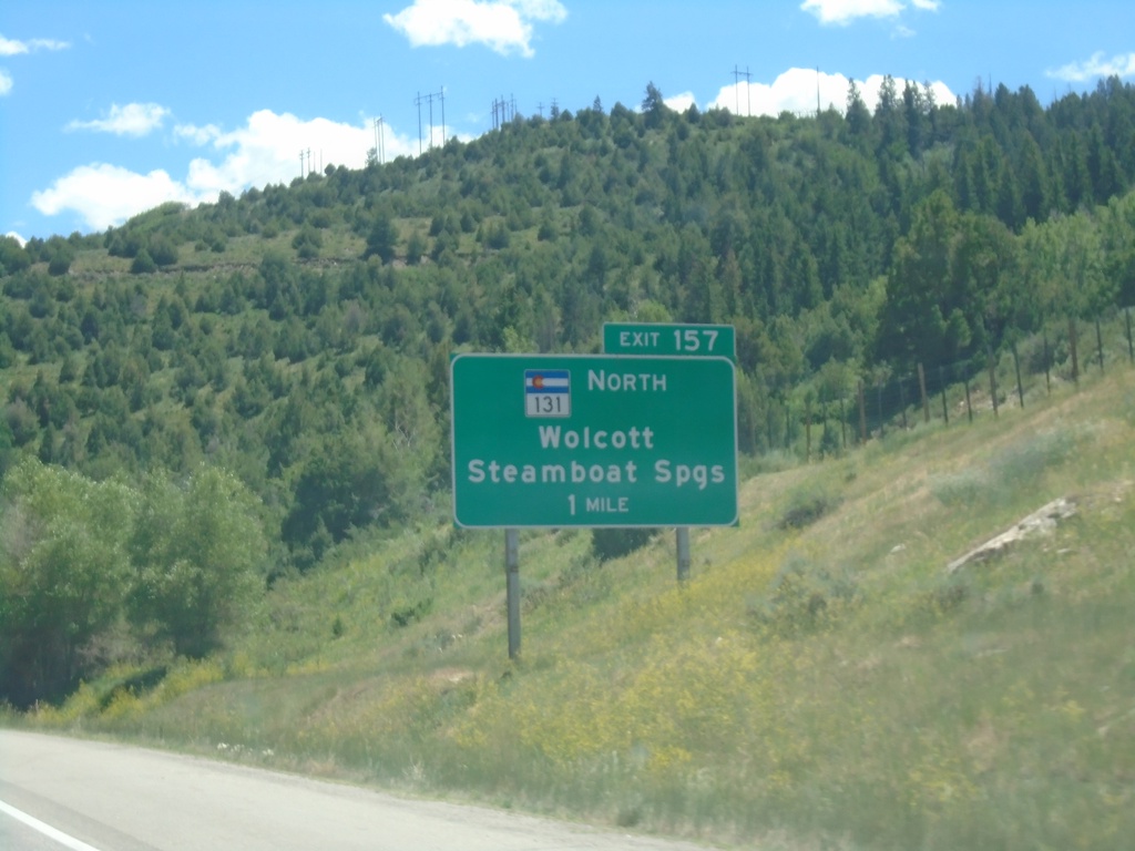
I-70 East - Exit 157
I-70 east approaching Exit 157 - CO-131 North/Wolcott/Steamboat Springs.
Taken 07-09-2022
Edwards
Eagle County
Colorado
United States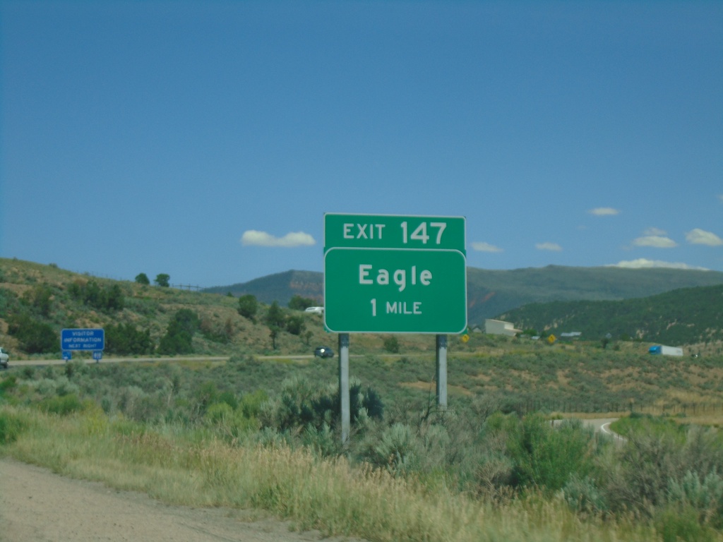
I-70 East - Exit 147
I-70 east approaching Exit 147 - Eagle
Taken 07-09-2022
Eagle
Eagle County
Colorado
United States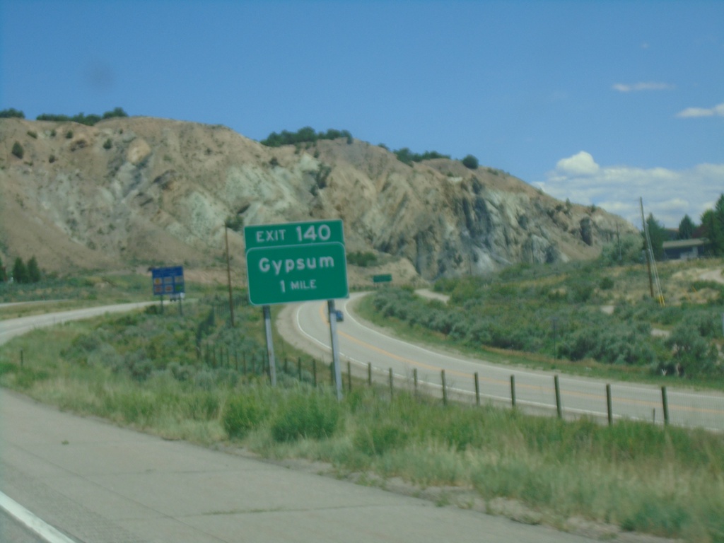
I-70 East - Exit 140
I-70 east approaching Exit 140 - Gypsum
Taken 07-09-2022
Gypsum
Eagle County
Colorado
United States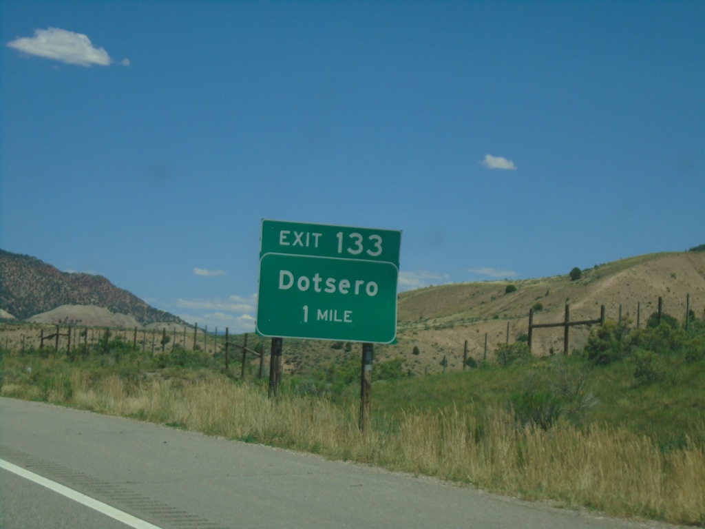
I-70 East - Exit 133
I-70 east approaching Exit 133 - Dotsero.
Taken 07-09-2022
Gypsum
Eagle County
Colorado
United States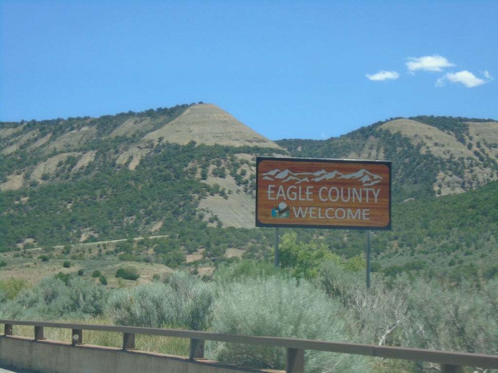
I-70 East - Eagle County
Entering Eagle County on I-70 East.
Taken 07-09-2022
Gypsum
Eagle County
Colorado
United States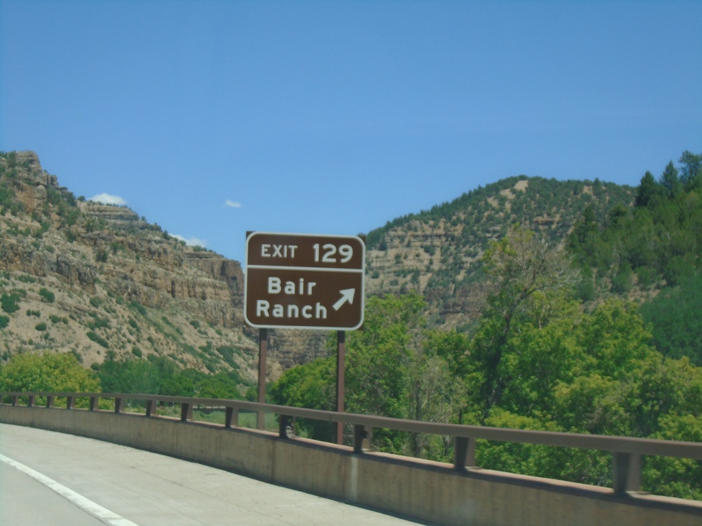
I-70 East - Exit 129
I-70 east at Exit 129 - Bair Ranch
Taken 07-09-2022
Gypsum
Garfield County
Colorado
United States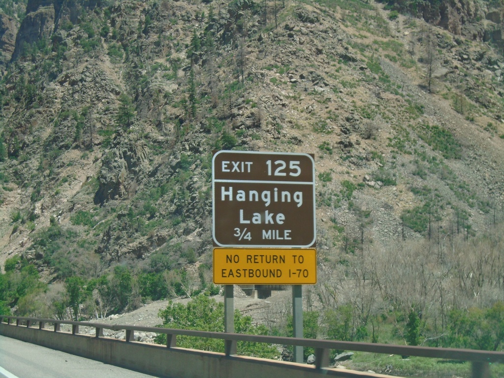
I-70 East - Exit 125
I-70 east approaching Exit 125 - Hanging Lake
Taken 07-09-2022
Glenwood Springs
Garfield County
Colorado
United States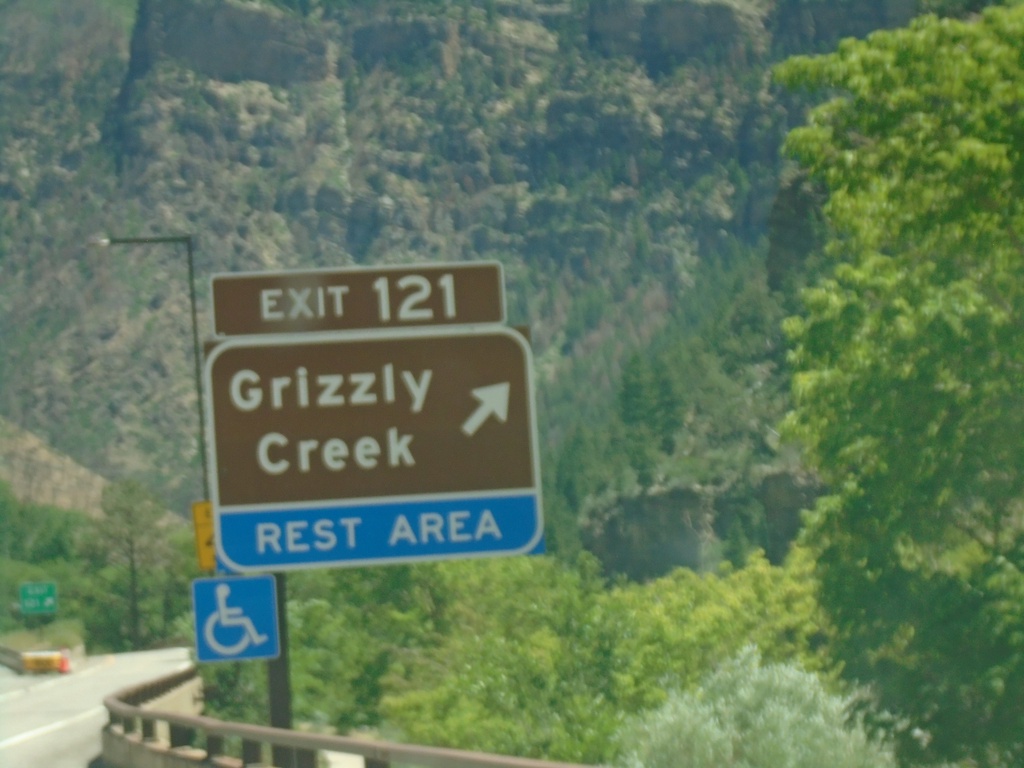
I-70 East - Exit 121
I-70 east approaching Exit 121 - Grizzly Creek and Rest Area.
Taken 07-09-2022
Glenwood Springs
Garfield County
Colorado
United States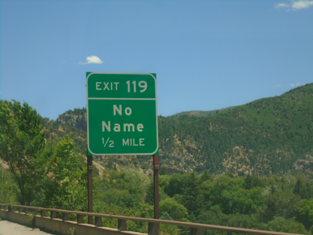
I-70 East - Exit 119
I-70 east approaching Exit 119 - No Name
Taken 07-09-2022
Glenwood Springs
Garfield County
Colorado
United States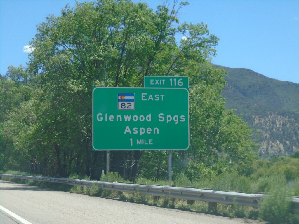
I-70 East - Exit 116
I-70 east approaching Exit 116 - CO-82 East/Glenwood Springs/Aspen.
Taken 07-09-2022
 Glenwood Springs
Garfield County
Colorado
United States
Glenwood Springs
Garfield County
Colorado
United States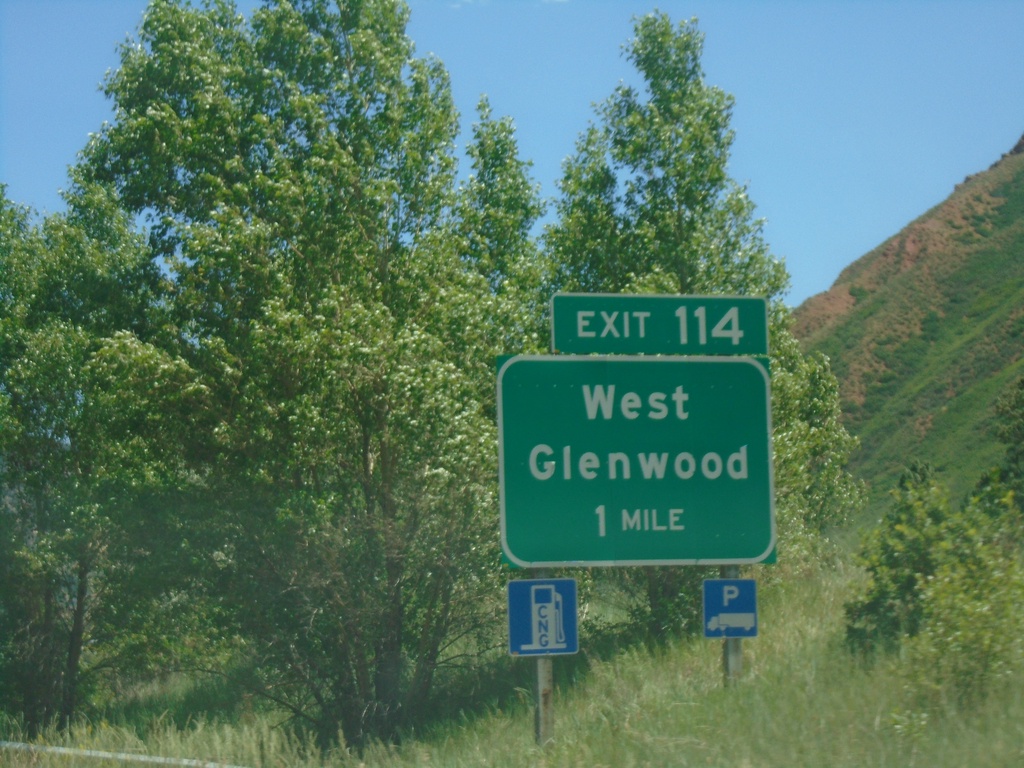
I-70 East - Exit 114
I-70 east approaching Exit 114 - West Glenwood. This is the west entrance to Glenwood Springs.
Taken 07-09-2022
Glenwood Springs
Garfield County
Colorado
United States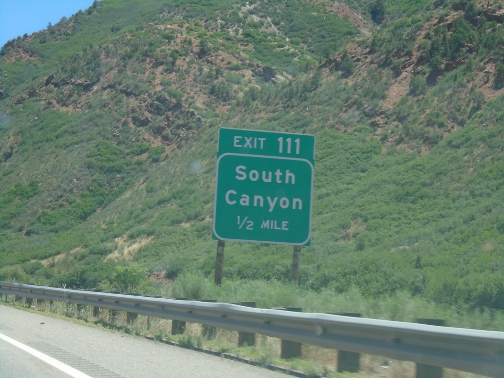
I-70 East - Exit 111
I-70 east approaching Exit 111 - South Canyon.
Taken 07-09-2022
Glenwood Springs
Garfield County
Colorado
United States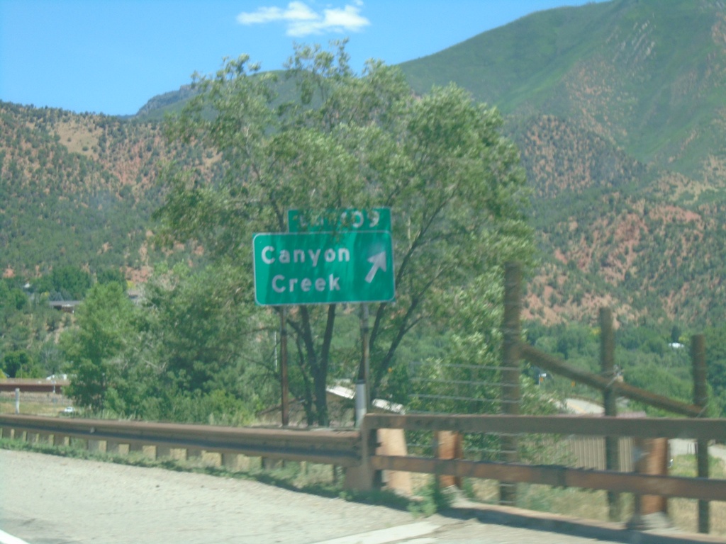
I-70 East - Exit 109
I-70 east at Exit 109 - Canyon Creek.
Taken 07-09-2022
Glenwood Springs
Garfield County
Colorado
United States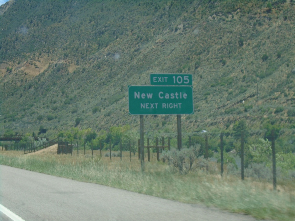
I-70 East - Exit 105
I-70 east at Exit 105 - New Castle.
Taken 07-09-2022
New Castle
Garfield County
Colorado
United States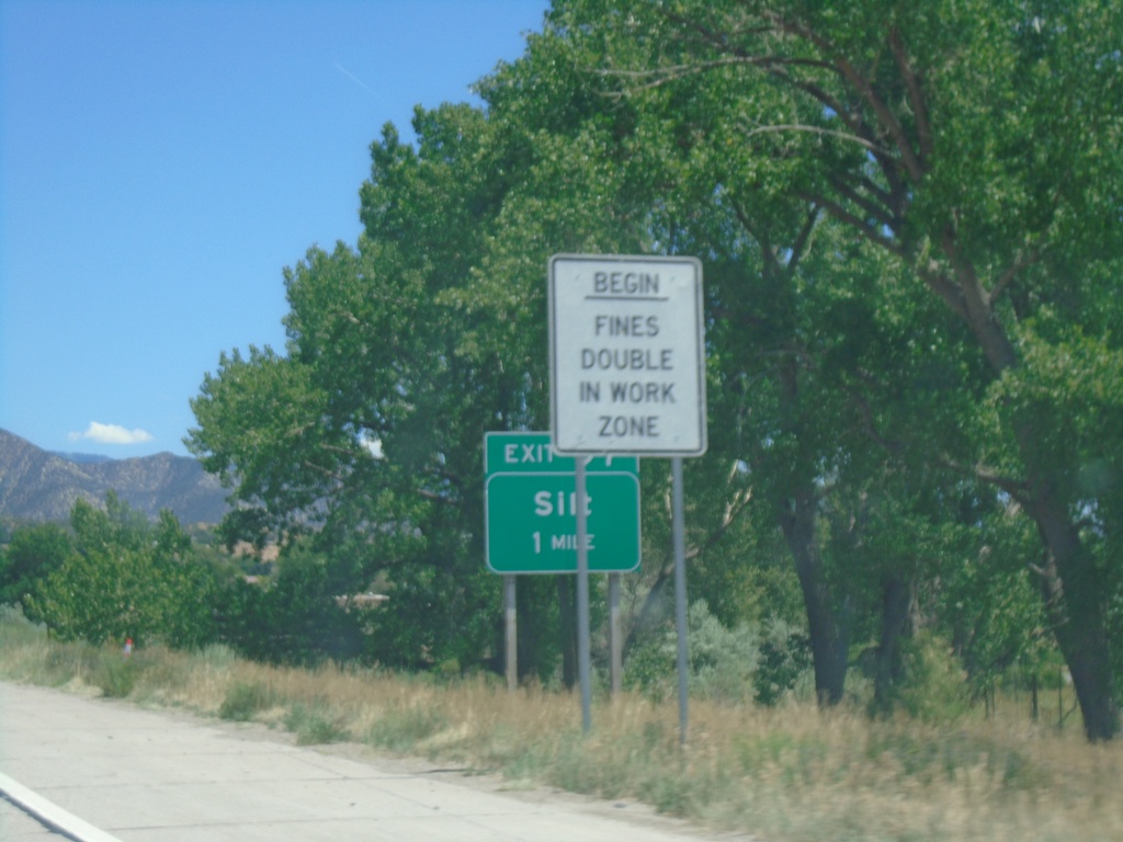
I-70 East - Exit 97
I-70 east approaching Exit 97 - Silt.
Taken 07-09-2022
Silt
Garfield County
Colorado
United States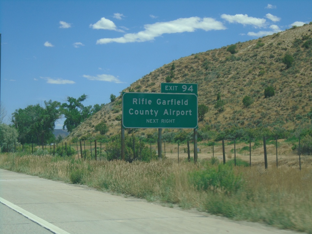
I-70 East - Exit 94
I-70 east approaching Exit 94 - Rifle Garfield County Airport.
Taken 07-09-2022
Silt
Garfield County
Colorado
United States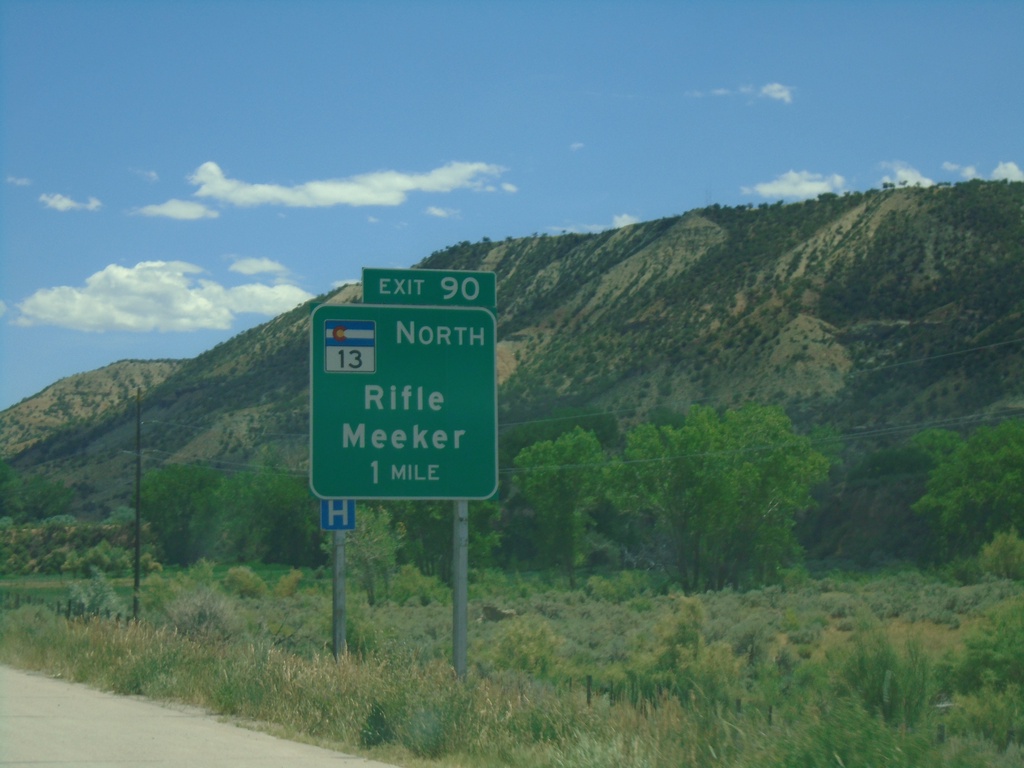
I-70 East - Exit 90
I-70 east approaching Exit 90 - CO-13 North/Rifle/Meeker.
Taken 07-09-2022
 Rifle
Garfield County
Colorado
United States
Rifle
Garfield County
Colorado
United States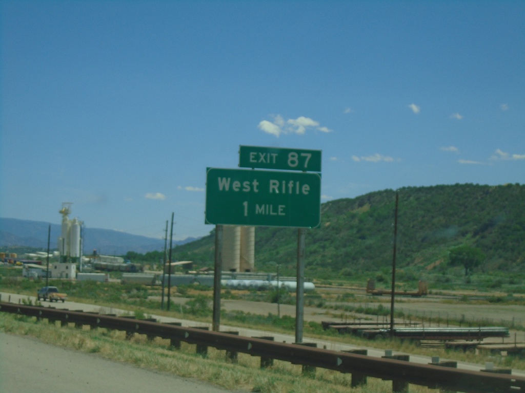
I-70 East - Exit 87
I-70 East approaching Exit 87 - West Rifle
Taken 07-09-2022
Rifle
Garfield County
Colorado
United States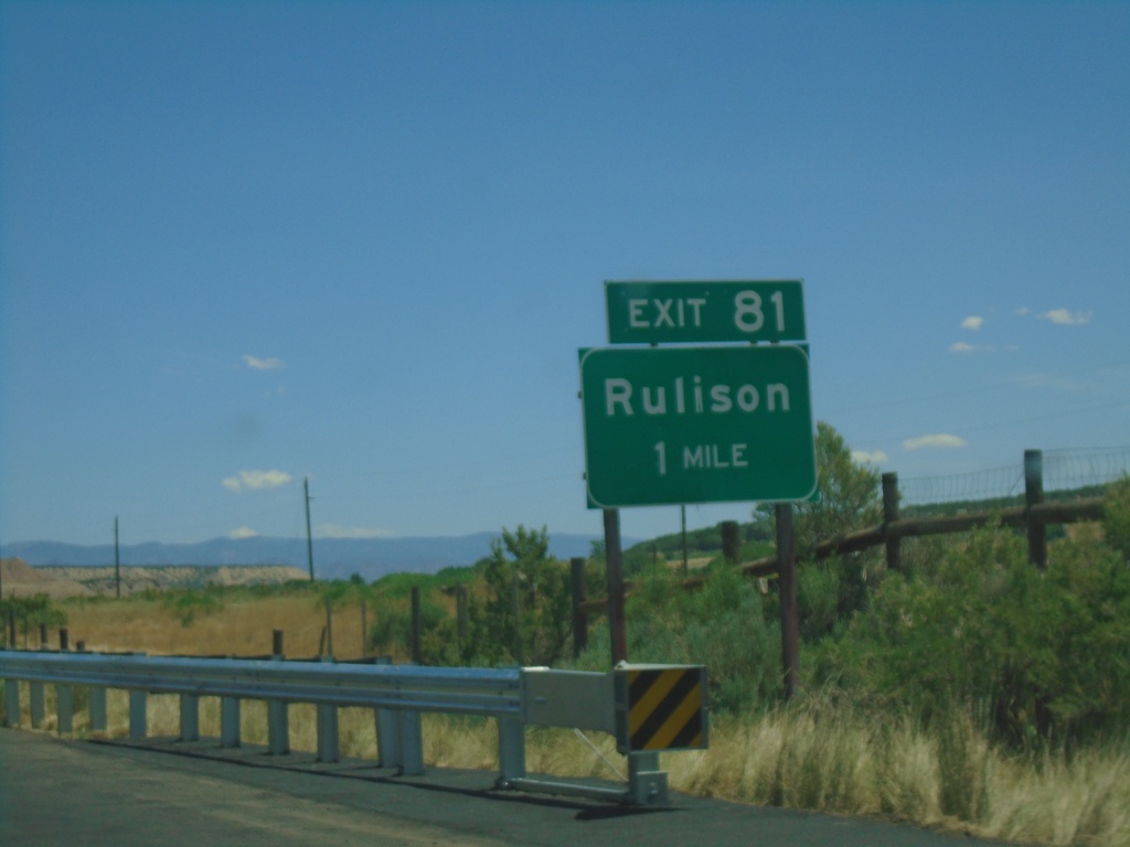
I-70 East - Exit 81
I-70 east approaching Exit 81 - Rulison
Taken 07-09-2022
Rifle
Garfield County
Colorado
United States