Signs Tagged With Big Green Sign
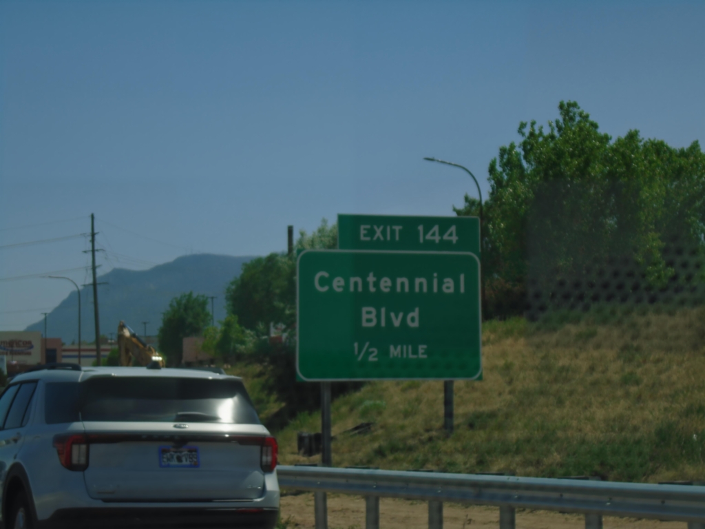
I-25 South - Exit 144
I-25 south approaching Exit 144 - Centennial Blvd.
Taken 06-18-2026


 Colorado Springs
El Paso County
Colorado
United States
Colorado Springs
El Paso County
Colorado
United States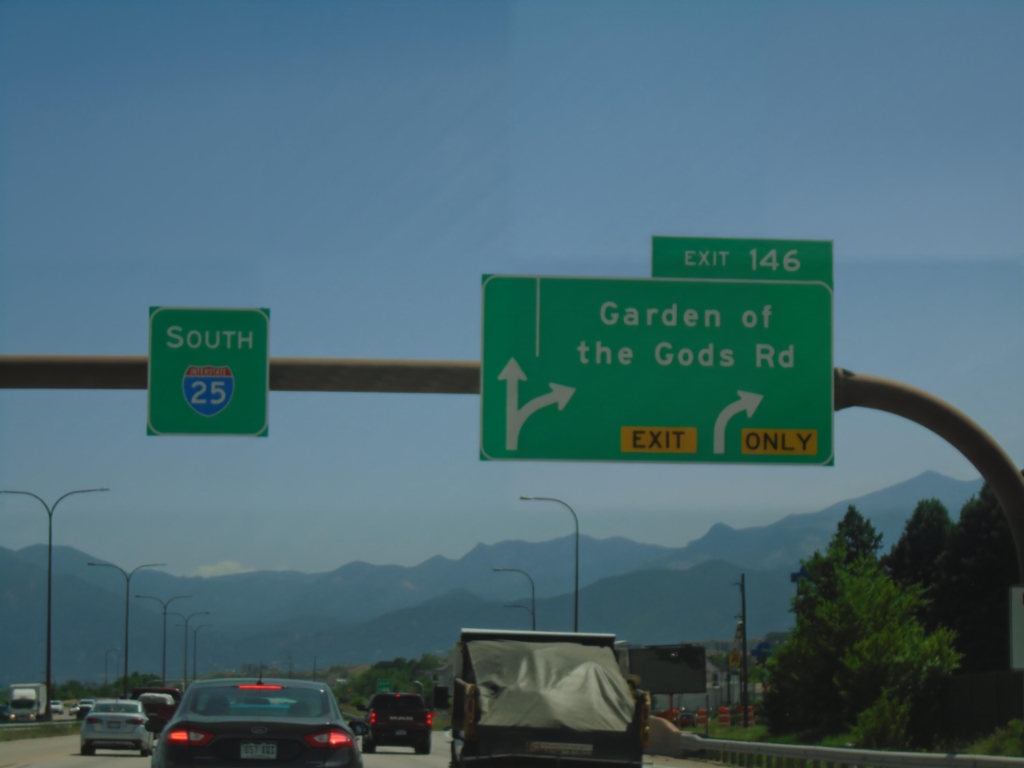
I-25 South - Exit 146
I-25 south at Exit 146 - Garden of the Gods Road.
Taken 06-18-2026
Colorado Springs
El Paso County
Colorado
United States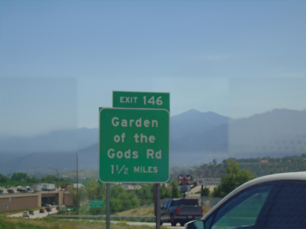
I-25 South - Exit 146
I-25 South approaching Exit 146 - Garden of the Gods Road.
Taken 06-18-2026
Colorado Springs
El Paso County
Colorado
United States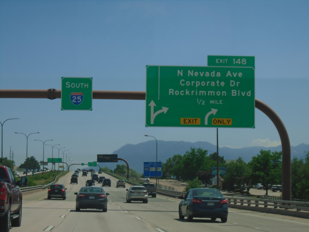
I-25 South - Exit 148
I-25 south approaching Exit 148 - N. Nevada Ave./Corporate Drive/Rockrimmon Blvd.
Taken 06-18-2026
Colorado Springs
El Paso County
Colorado
United States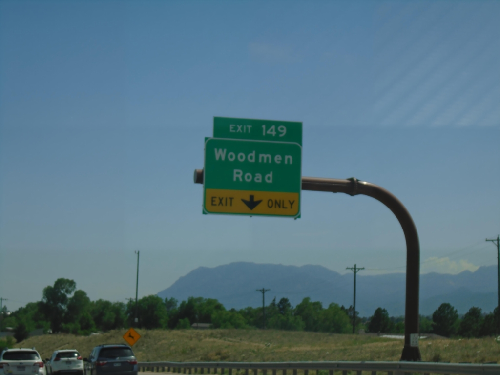
I-25 South - Exit 149
I-25 south at Exit 149 - Woodmen Road.
Taken 06-18-2026
Colorado Springs
El Paso County
Colorado
United States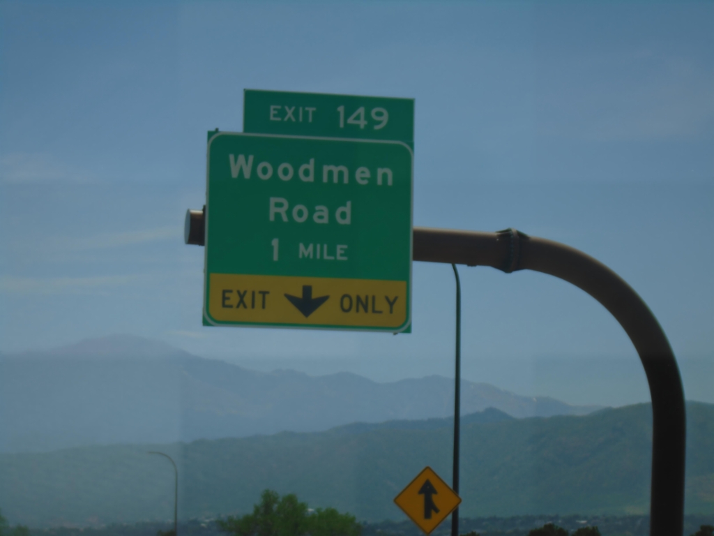
I-25 South - Exit 149
I-25 south approaching Exit 149 - Woodman Road.
Taken 06-18-2026
Colorado Springs
El Paso County
Colorado
United States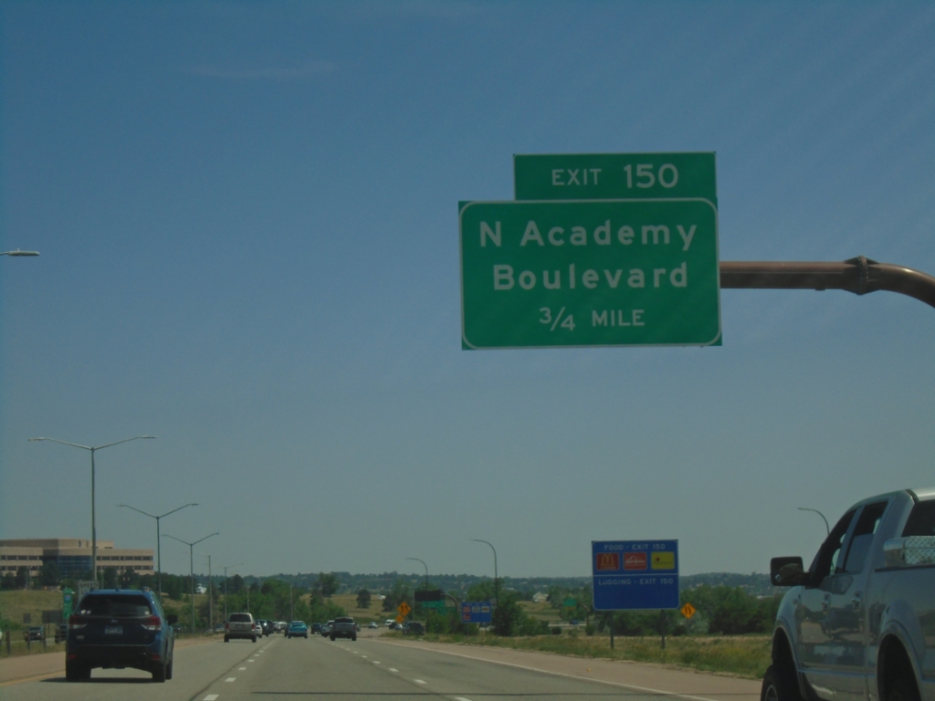
I-25 South - Exit 150
I-25 south approaching Exit 150 - N Academy Blvd. Use Exit 150 for access to the United States Air Force Academy.
Taken 06-18-2026
Colorado Springs
El Paso County
Colorado
United States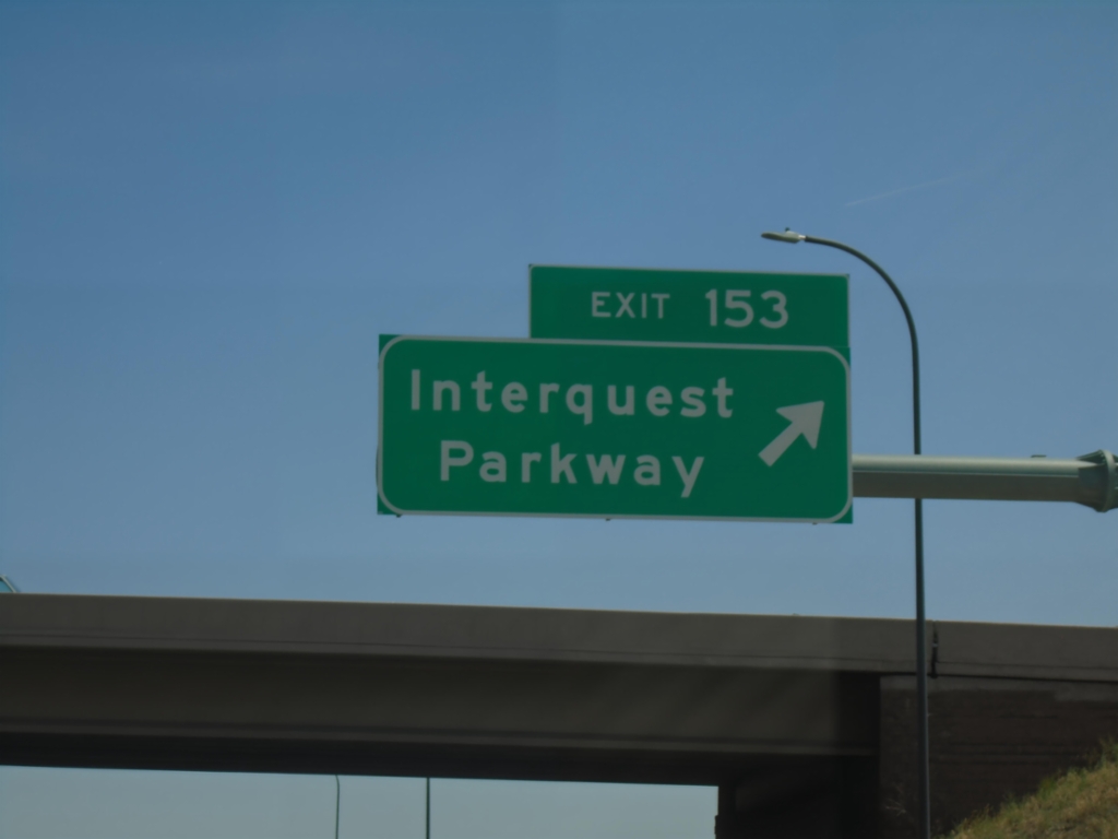
I-25 South - Exit 153
I-25 south at Exit 153 - Interquest Parkway.
Taken 06-18-2026
Colorado Springs
El Paso County
Colorado
United States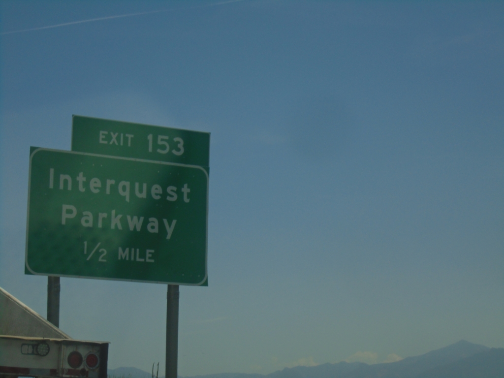
I-25 South - Exit 153
I-25 south approaching Exit 153 - Interquest Parkway.
Taken 06-18-2026
Colorado Springs
El Paso County
Colorado
United States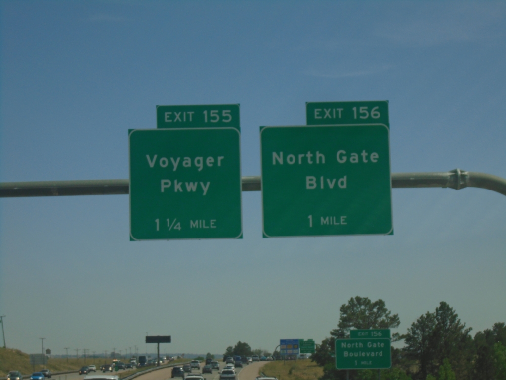
I-25 South - Exits 156 and 155
I-25 south at Exit 156 - North Gate Blvd. Approaching Exit 155 - Voyager Parkway. Use Exit 156 for the United States Air Force Academy.
Taken 06-18-2026
Monument
El Paso County
Colorado
United States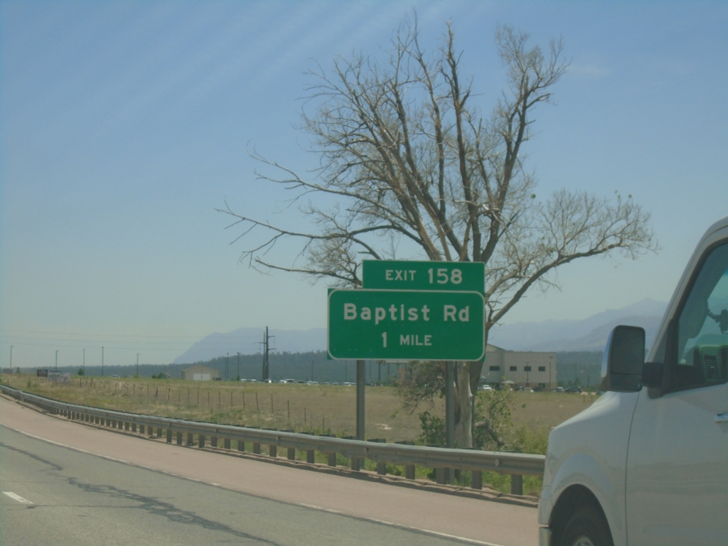
I-25 South - Exit 158
I-25 south approaching Exit 158 - Baptist Road.
Taken 06-18-2026
Monument
El Paso County
Colorado
United States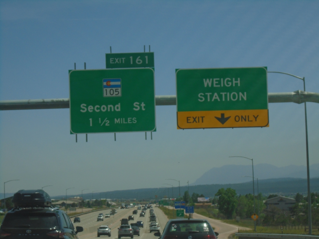
I-25 South - Weigh Station and Exit 161
I-25 south at Monument Weigh Station. Approaching Exit 161 - CO-105/Second St.
Taken 06-18-2026
 Monument
El Paso County
Colorado
United States
Monument
El Paso County
Colorado
United States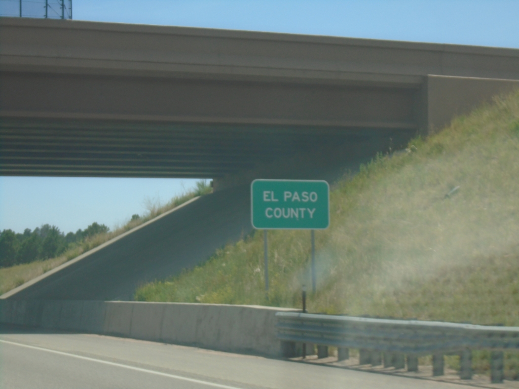
I-25 South - El Paso County
Entering El Paso County on I-25 South. El Paso County is the largest county in Colorado by population.
Taken 06-18-2026
Woodmoor
El Paso County
Colorado
United States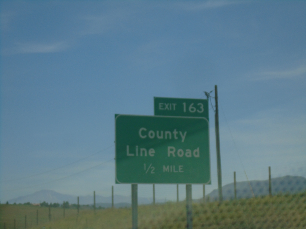
I-25 South - Exit 163
I-25 south approaching Exit 163 - County Line Road.
Taken 06-18-2026
Douglas County
Colorado
United States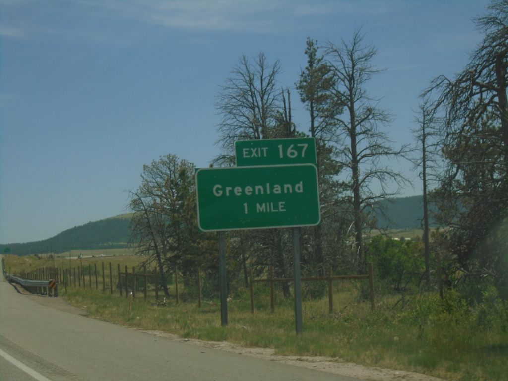
I-25 South - Exit 167
I-25 south approaching Exit 167 - Greenland
Taken 06-18-2026
Douglas County
Colorado
United States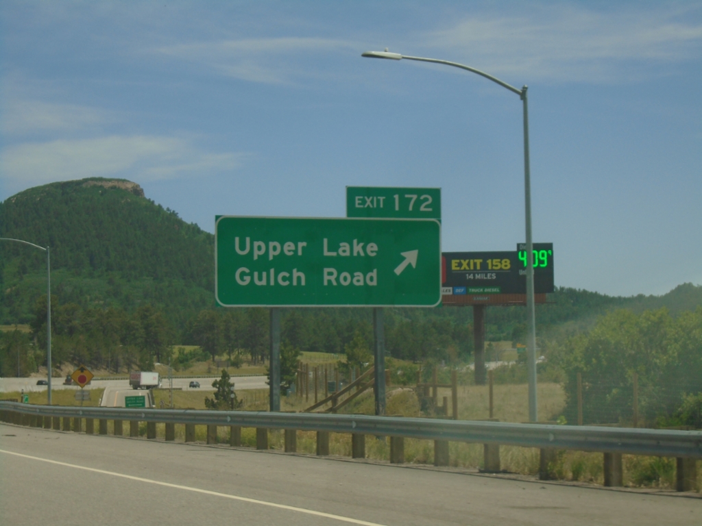
I-25 South - Exit 172
I-25 south at Exit 172 - Upper Lake Gulch Road.
Taken 06-18-2026
Larkspur
Douglas County
Colorado
United States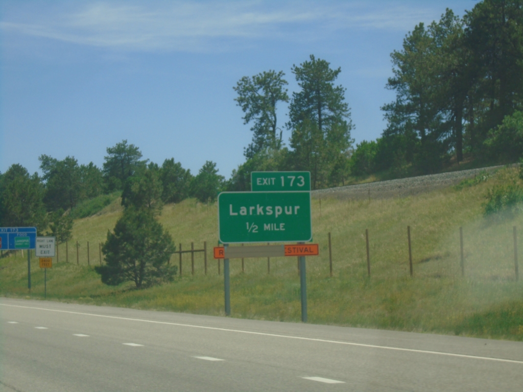
I-25 South - Exit 173
I-25 south approaching Exit 173 - Larkspur
Taken 06-18-2026
Douglas County
Colorado
United States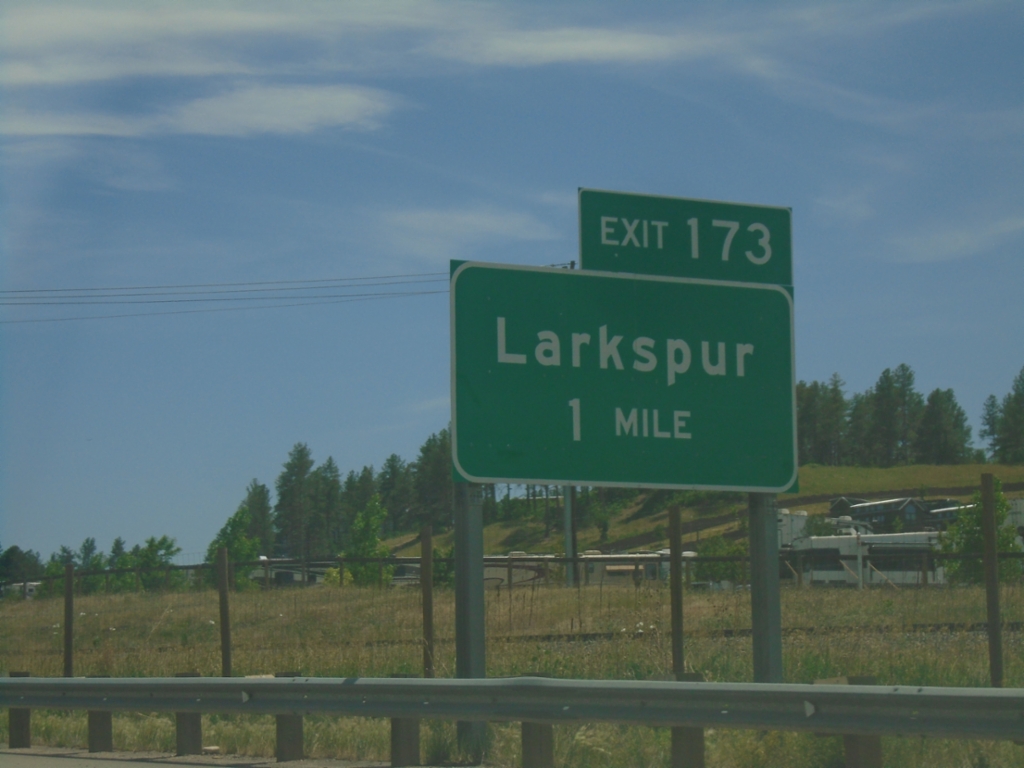
I-25 South - Exit 173
I-25 south approaching Exit 173 - Larkspur.
Taken 06-18-2026
Larkspur
Douglas County
Colorado
United States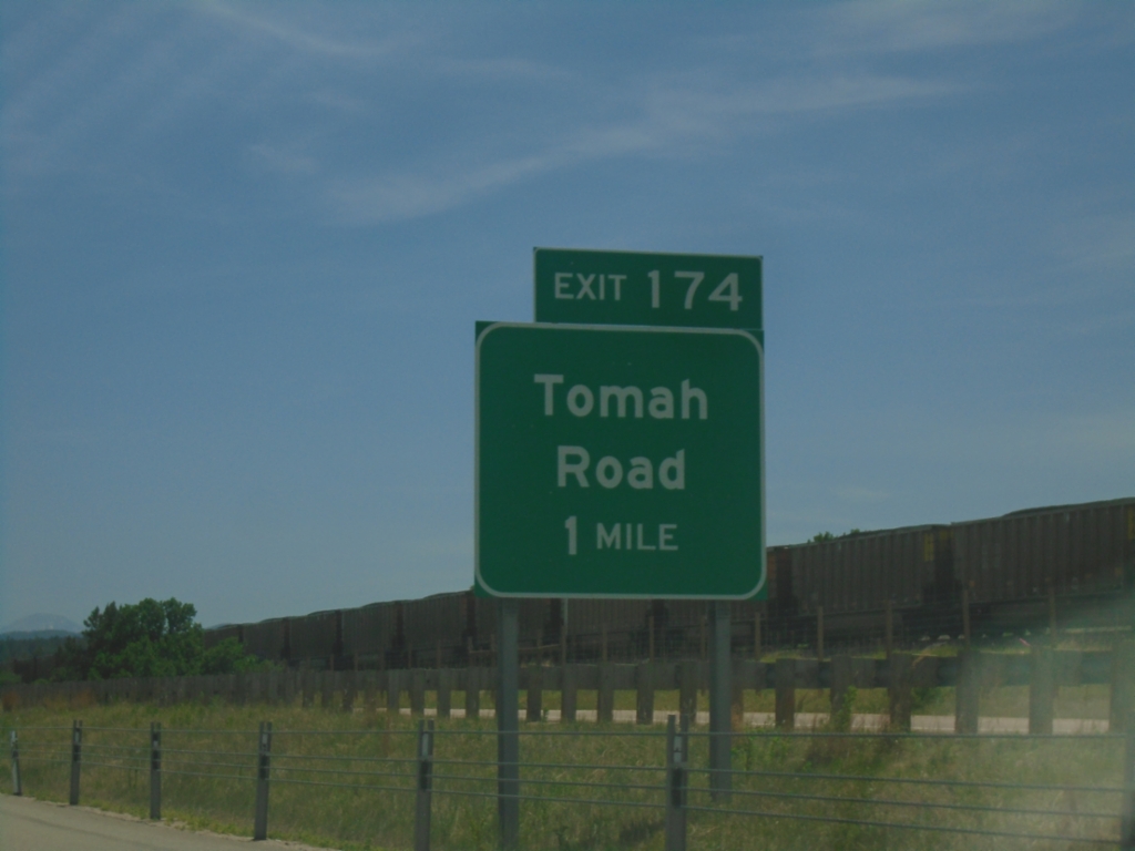
I-25 South - Exit 174
I-25 south approaching Exit 174 - Tomah Road.
Taken 06-18-2026
Douglas County
Colorado
United States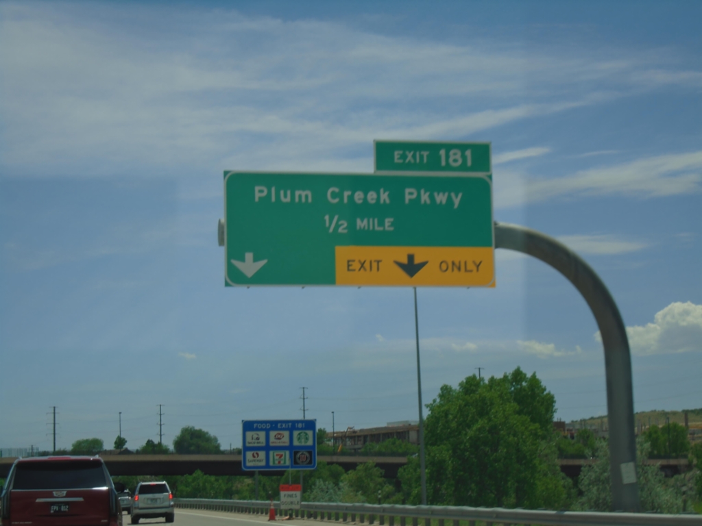
I-25 South - Exit 181
I-25 south approaching Exit 181 - Plum Creek Parkway.
Taken 06-18-2026
Castle Rock
Douglas County
Colorado
United States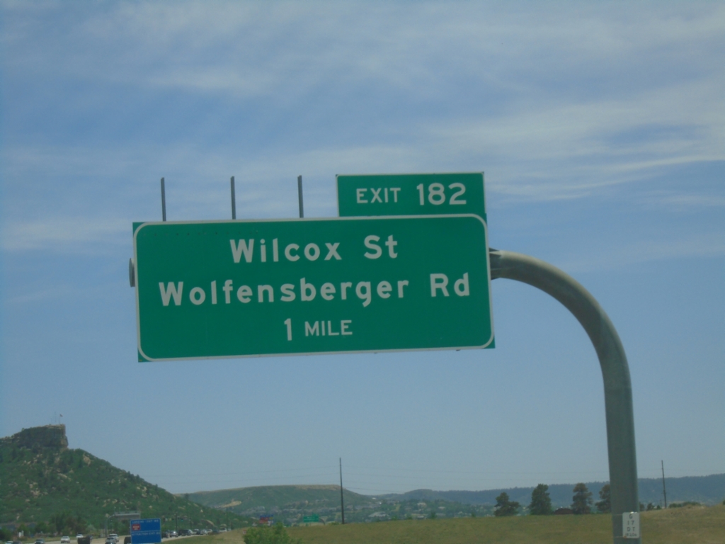
I-25 South - Exit 182
I-25 south approaching Exit 182 - Wilcox St./Wolfensberger Road.
Taken 06-18-2026
Castle Rock
Douglas County
Colorado
United States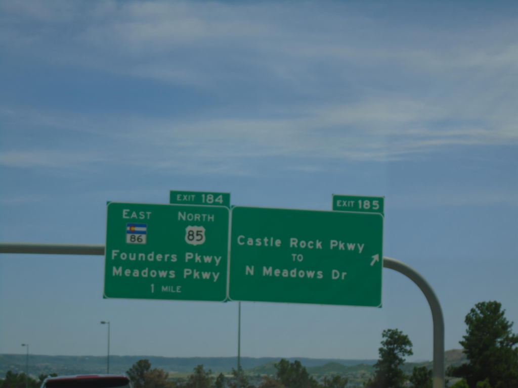
I-25 South - Exits 185 and 184
I-25 south at Exit 185 - Castle Rock Parkway/To N. Meadows Drive. Approaching Exit 184 - US-85 North/CO-86 East/Founders Parkway/Meadows Parkway. US-85 joins I-25/US-87 southbound.
Taken 06-18-2026
 Castle Rock
Douglas County
Colorado
United States
Castle Rock
Douglas County
Colorado
United States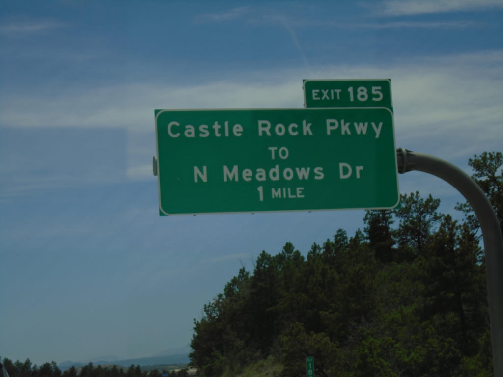
I-25 South - Exit 185
I-25 south approaching Exit 185 - Castle Rock Parkway/To N Meadows Drive.
Taken 06-18-2026
Castle Pines Village
Douglas County
Colorado
United States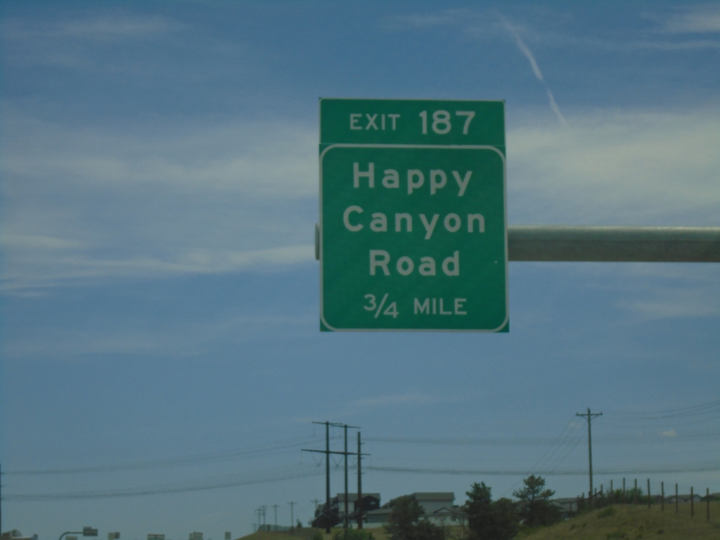
I-25 South - Exit 187
I-25 south approaching Exit 187 - Happy Canyon Road.
Taken 06-18-2026
Castle Pines
Douglas County
Colorado
United States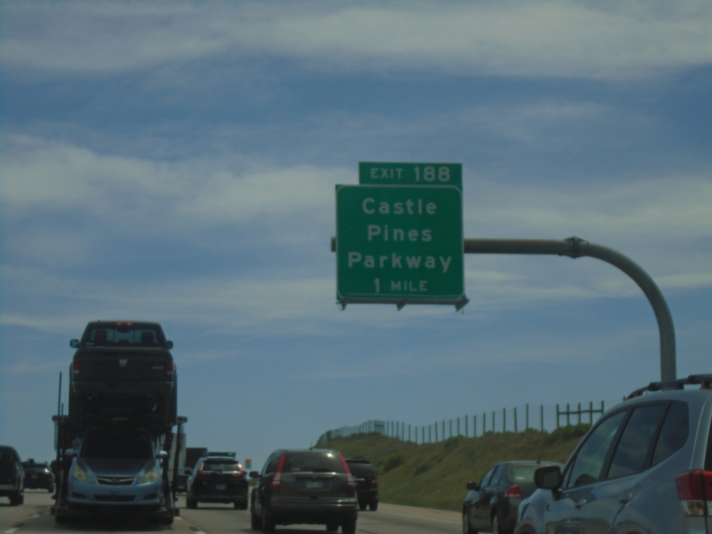
I-25 South - Exit 188
I-25 south approaching Exit 188 - Castle Pines Parkway.
Taken 06-18-2026
Beverly Hills
Douglas County
Colorado
United States