Signs Tagged With Big Green Sign
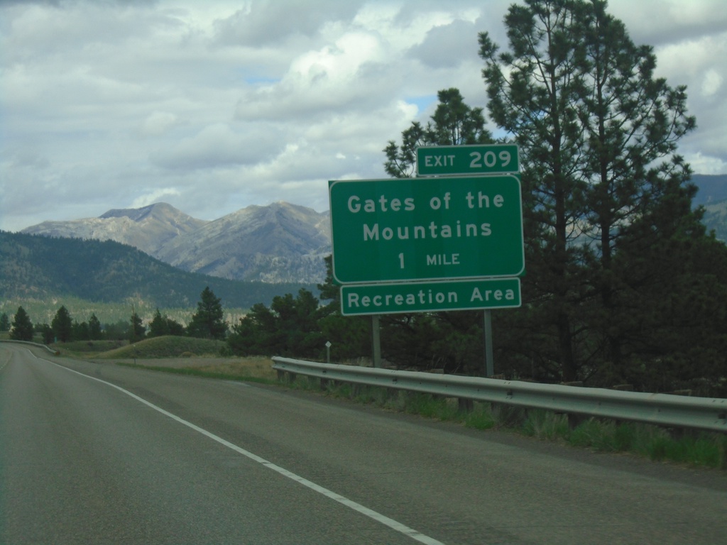
I-15 North - Exit 209
I-15 north approaching Exit 209 - Gates of the Mountains.
Taken 05-11-2023

 Helena
Lewis and Clark County
Montana
United States
Helena
Lewis and Clark County
Montana
United States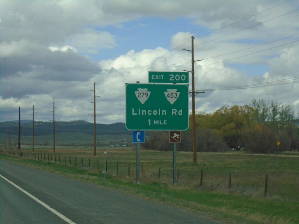
I-15 North - Exit 200
I-15 north approaching Exit 200 - MTS-279/MTS-453/Lincoln Road.
Taken 05-11-2023

 Helena
Lewis and Clark County
Montana
United States
Helena
Lewis and Clark County
Montana
United States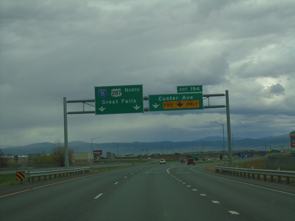
I-15 North - Exit 194
I-15 north at Exit 194 - Custer Ave. Continue north on I-15/US-287 North for Great Falls.
Taken 05-11-2023
Helena
Lewis and Clark County
Montana
United States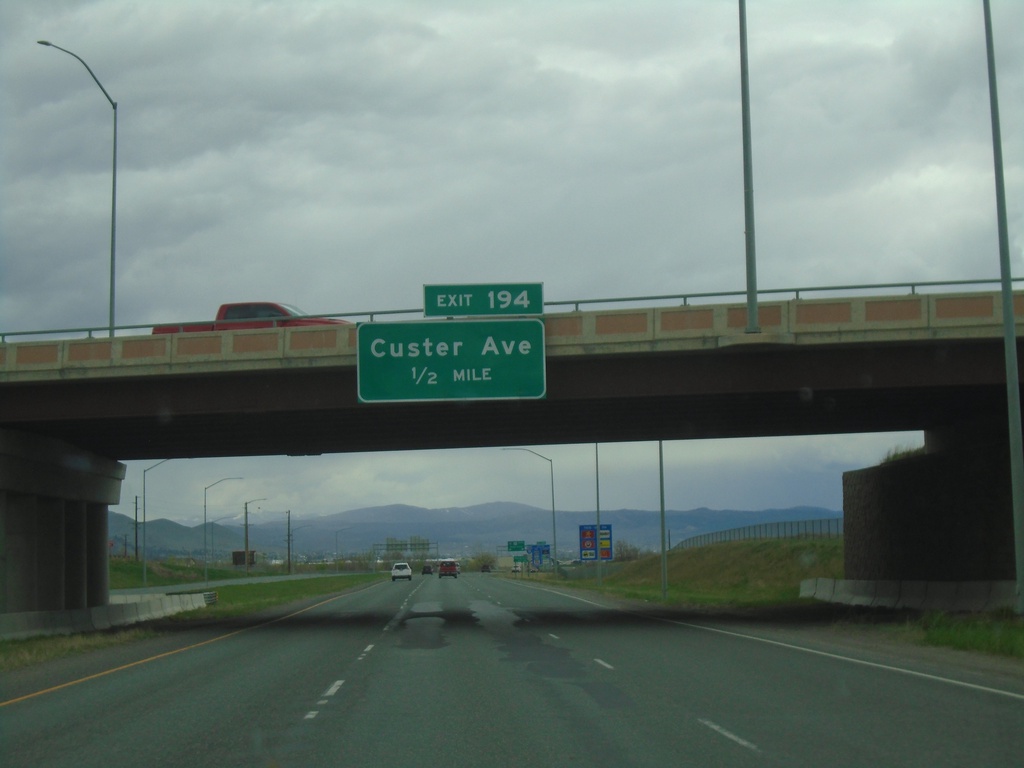
I-15 North - Exit 194
I-15 North approaching Exit 194 - Custer Ave.
Taken 05-11-2023
Helena
Lewis and Clark County
Montana
United States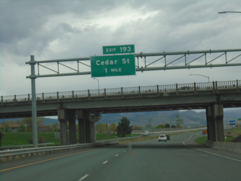
I-15 North - Exit 193
I-15 North approaching Exit 193 - Cedar Street.
Taken 05-11-2023
 Helena
Lewis and Clark County
Montana
United States
Helena
Lewis and Clark County
Montana
United States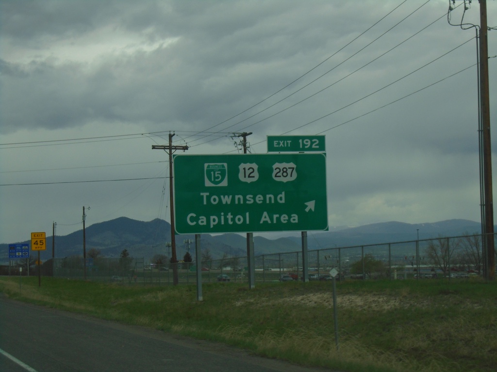
I-15 North - Exit 192
I-15 north at Exit 192 - BL-15/US-12/US-287/Townsend/Capitol Area. US-287 joins I-15 northbound.
Taken 05-11-2023
 Helena
Lewis and Clark County
Montana
United States
Helena
Lewis and Clark County
Montana
United States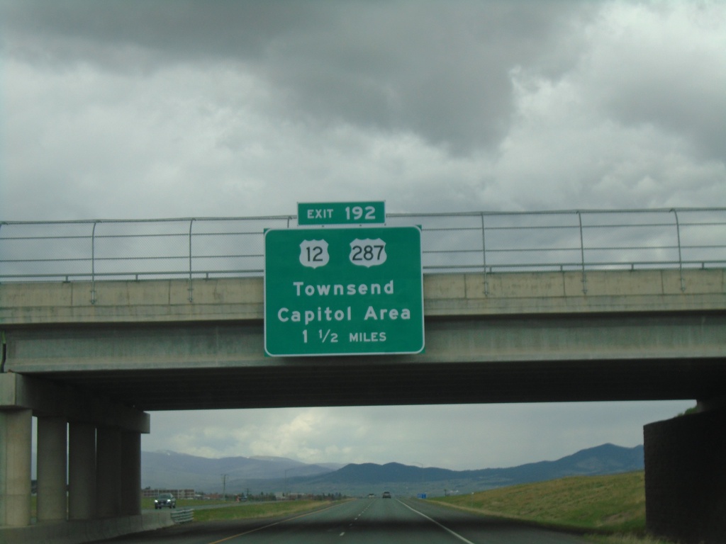
I-15 North - Exit 192
I-15 North approaching Exit 192 - US-12/US-287/Townsend/Capitol Area.
Taken 05-11-2023
Helena
Lewis and Clark County
Montana
United States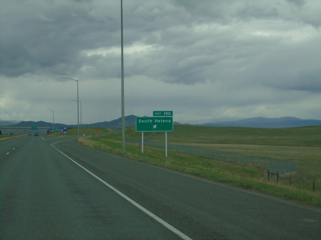
I-15 North - Exit 190
I-15 north approaching Exit 190 - South Helena.
Taken 05-11-2023
Helena
Lewis and Clark County
Montana
United States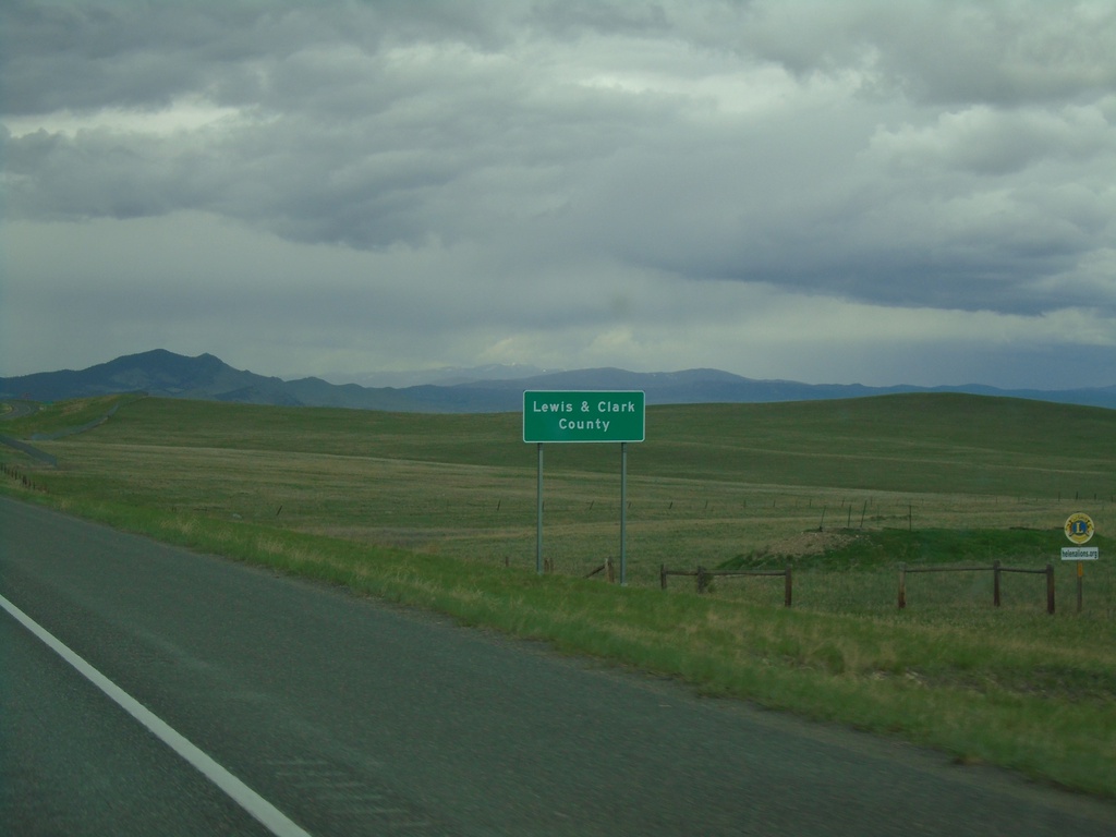
I-15 North - Lewis and Clark County
Entering Lewis and Clark County on I-15 north. Lewis and Clark County is home to Helena, the Montana state capital.
Taken 05-11-2023
Helena
Lewis and Clark County
Montana
United States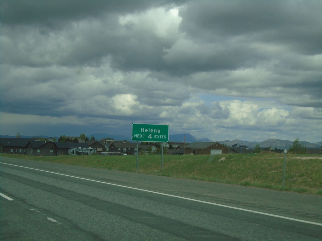
I-15 North - Helena
Helena Next 4 Exits on I-15 north.
Taken 05-11-2023
Clancy
Jefferson County
Montana
United States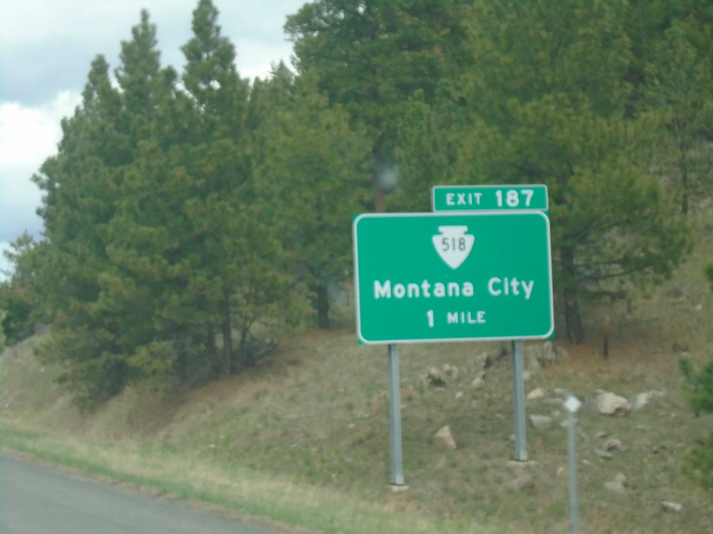
I-15 North - Exit 187
I-15 north approaching Exit 187 - MTS-518/Montana City.
Taken 05-11-2023
 Montana City
Jefferson County
Montana
United States
Montana City
Jefferson County
Montana
United States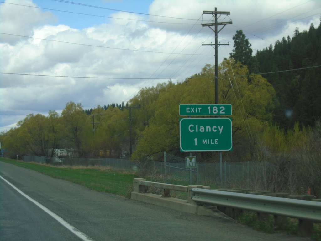
I-15 North - Exit 182
I-15 north approaching Exit 182 - Clancy.
Taken 05-11-2023
Clancy
Jefferson County
Montana
United States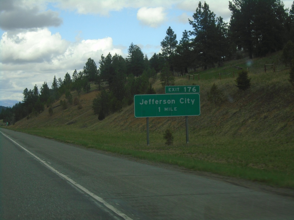
I-15 North - Exit 176
I-15 north approaching Exit 176 - Jefferson City.
Taken 05-11-2023
Jefferson City
Jefferson County
Montana
United States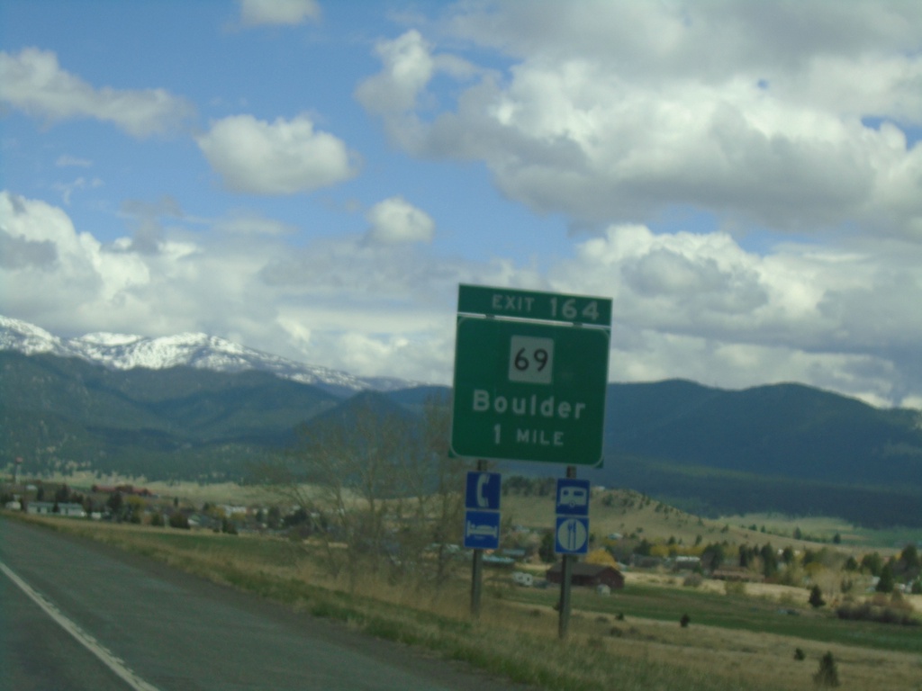
I-15 North - Exit 164
I-15 North approaching Exit 164 - MT-69/Boulder
Taken 05-11-2023
 Boulder
Jefferson County
Montana
United States
Boulder
Jefferson County
Montana
United States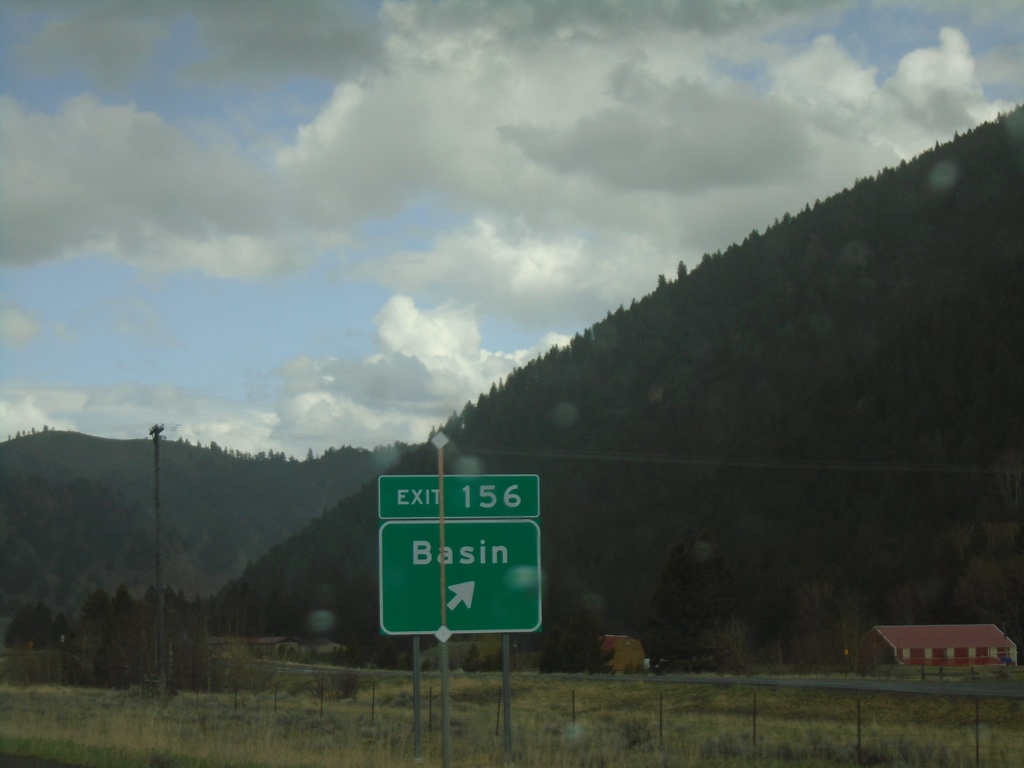
I-15 North - Exit 156
I-15 north at Exit 156 - Basin.
Taken 05-11-2023
Boulder
Jefferson County
Montana
United States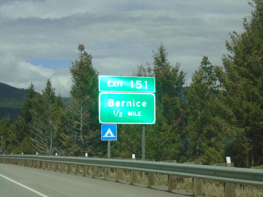
I-15 North - Exit 151
I-15 north approaching Exit 151 - Bernice.
Taken 05-11-2023
Basin
Jefferson County
Montana
United States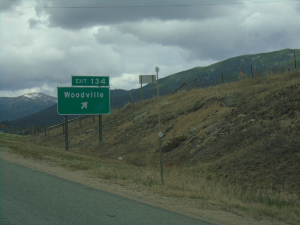
I-15 North - Exit 134
I-15 north at Exit 134 - Woodville.
Taken 05-11-2023
Butte
Jefferson County
Montana
United States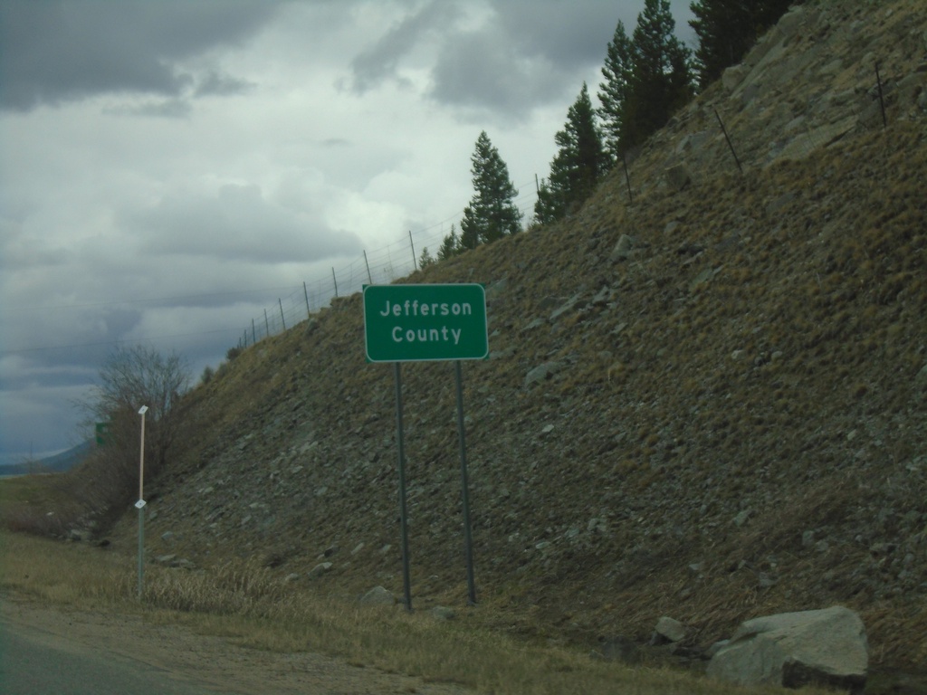
I-15 North - Jefferson County
Entering Jefferson County on I-15 north.
Taken 05-11-2023
Butte
Jefferson County
Montana
United States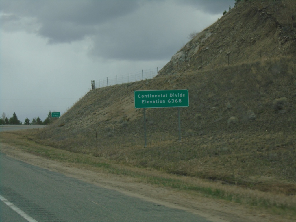
I-15 North - Elk Park Pass
I-15 north at Elk Park Pass (Continental Divide). Elevation 6368 Feet. This is also the county boundary between Silver Bow and Jefferson County. Water north of this point flows into the Gulf of Mexico.
Taken 05-11-2023
Woodville
Jefferson County
Montana
United States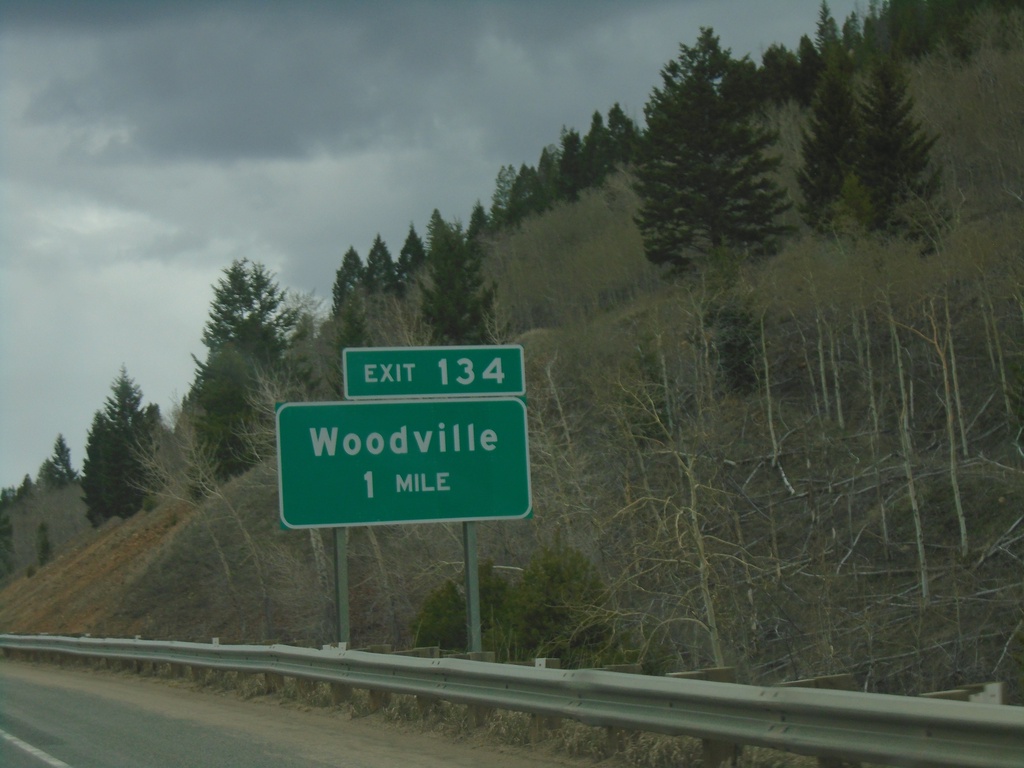
I-15 North - Exit 134
I-15 north approaching Exit 134 - Woodville.
Taken 05-11-2023
Butte
Silver Bow County
Montana
United States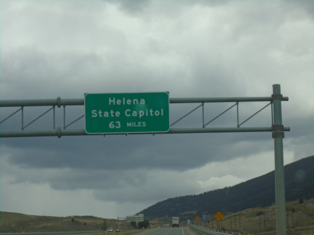
I-15 North - Distance Marker
Distance marker on I-15 north. Distance to Helena - State Capitol. A similar sign is located just south of Great Falls on I-15.
Taken 05-11-2023
Butte
Silver Bow County
Montana
United States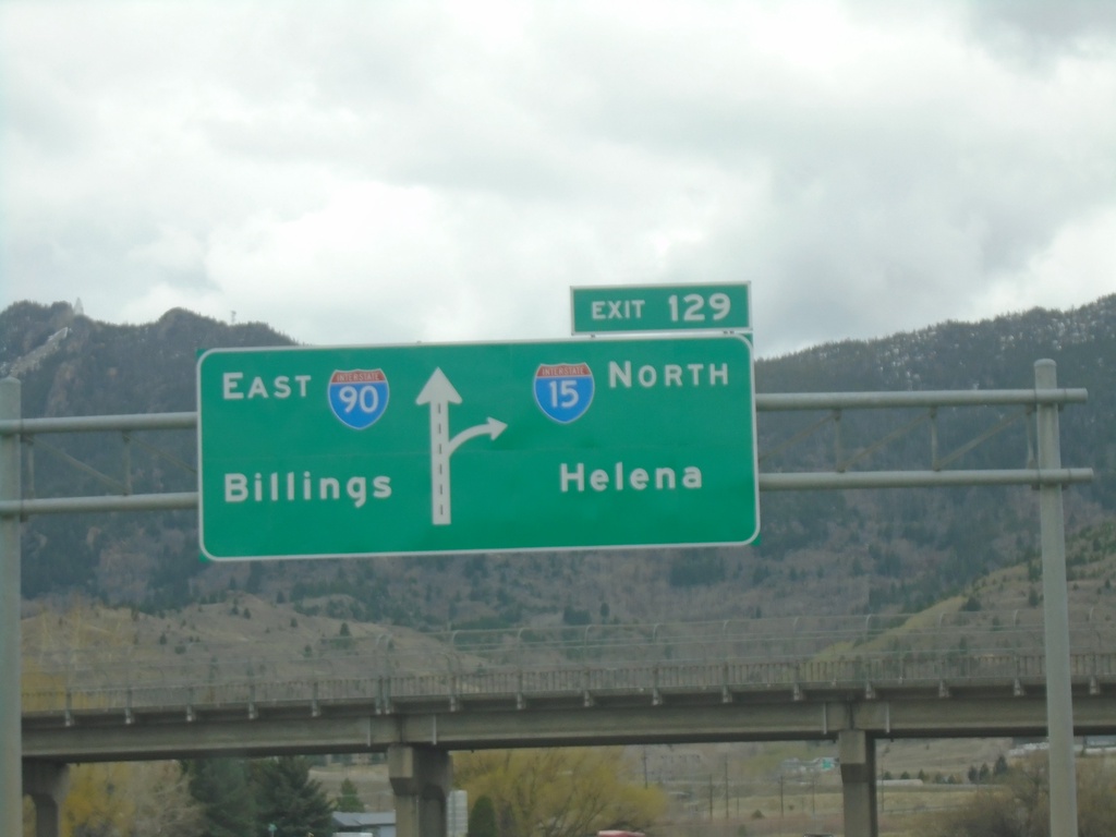
I-15 North/I-90 East - Exit 129
I-15 North/I-90 East approaching Exit 129 - I-15 North/Helena. Continue east on I-90 for Billings.
Taken 05-11-2023
 Butte
Silver Bow County
Montana
United States
Butte
Silver Bow County
Montana
United States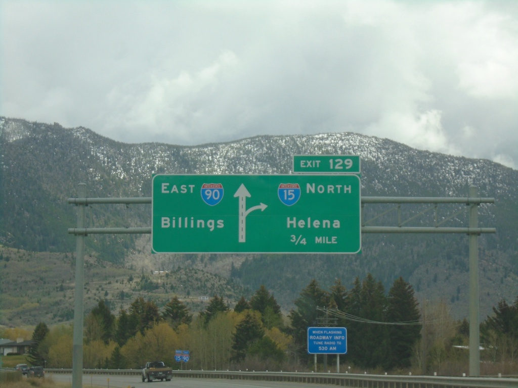
I-15 North/I-90 East - Exit 129
I-15 North/I-90 East approaching Exit 129 - I-15 North/Helena. Continue east on I-90 for Billings.
Taken 05-11-2023
Butte
Silver Bow County
Montana
United States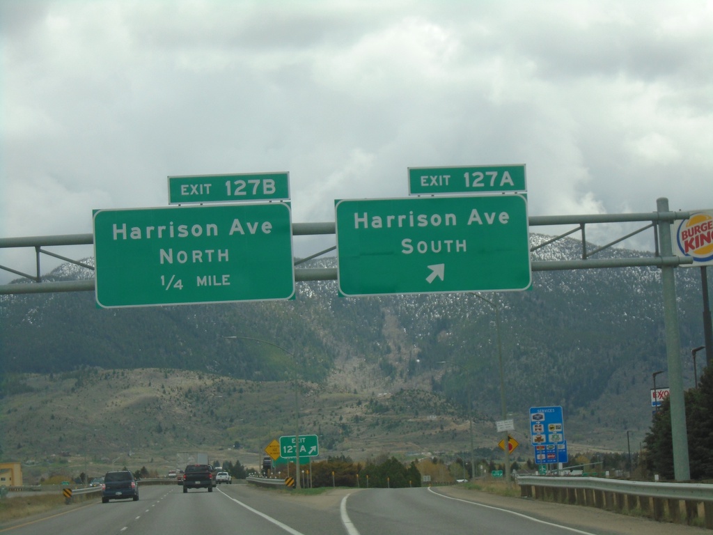
I-15 North/I-90 East - Exit 127A-B
I-15 North/I-90 East at Exit 127A - Harrison Ave. South. Approaching Exit 127B - Harrison Ave. North.
Taken 05-11-2023
 Butte
Silver Bow County
Montana
United States
Butte
Silver Bow County
Montana
United States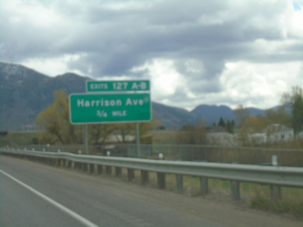
I-15 North/I-90 East - Exit 127A-B
I-15 North/I-90 East approaching Exit 127A-B - Harrison Ave.
Taken 05-11-2023
Butte
Silver Bow County
Montana
United States