Signs Tagged With Big Green Sign
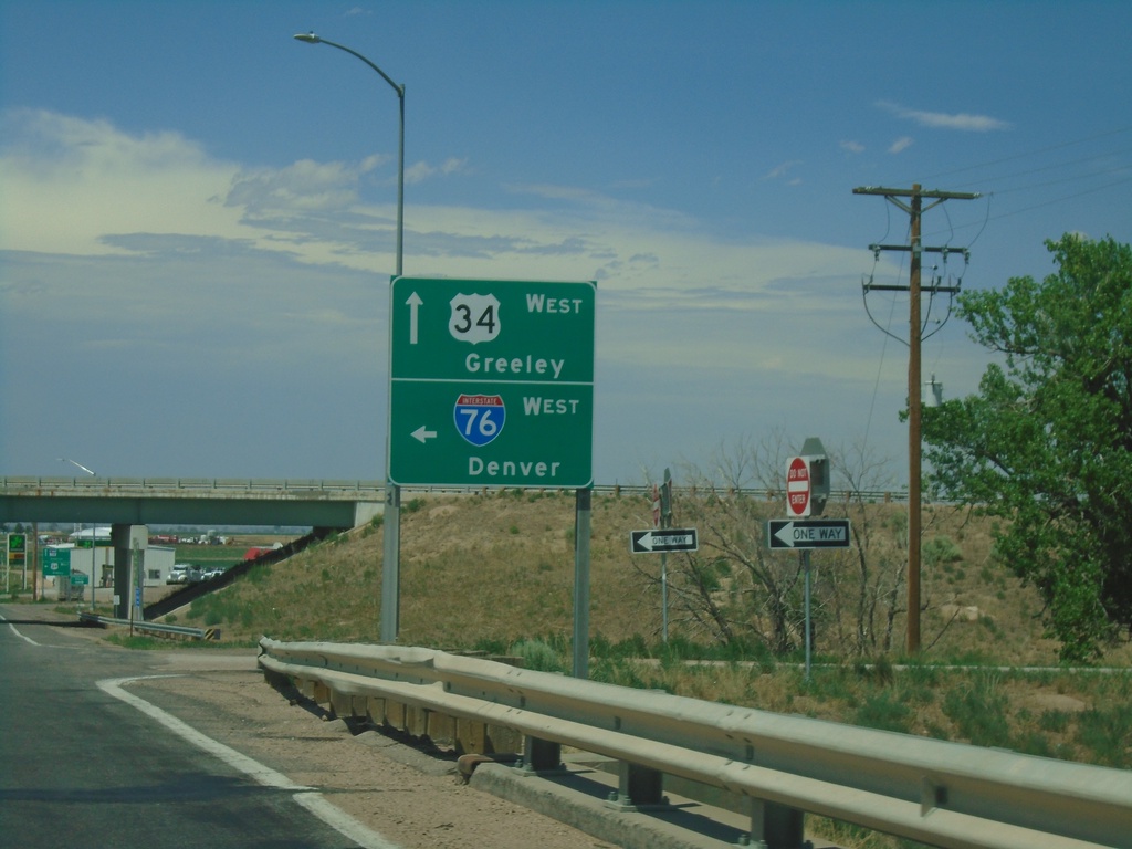
CO-39 North at I-76 West. Approaching US-34 West
CO-39 North at I-76 West to Denver. Approaching US-34 West to Greeley.
Taken 07-10-2022


 Wiggins
Morgan County
Colorado
United States
Wiggins
Morgan County
Colorado
United States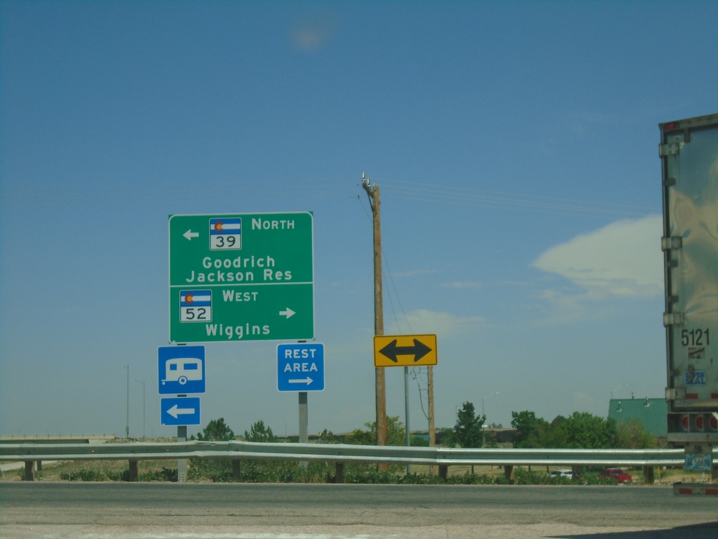
I-76 East - Exit 66A Offramp at CO-39/CO-52
I-76 East - Exit 66A Offramp at CO-39/CO-52. Turn left for CO-39 North to Goodrich and Jackson Reservoir. Turn right for CO-52 West to Wiggins.
Taken 07-10-2022
 Wiggins
Morgan County
Colorado
United States
Wiggins
Morgan County
Colorado
United States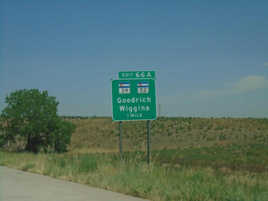
I-76 East - Exit 66A
I-76 east approaching Exit 66A - CO-52/CO-39/Goodrich/Wiggins
Taken 07-10-2022
Wiggins
Morgan County
Colorado
United States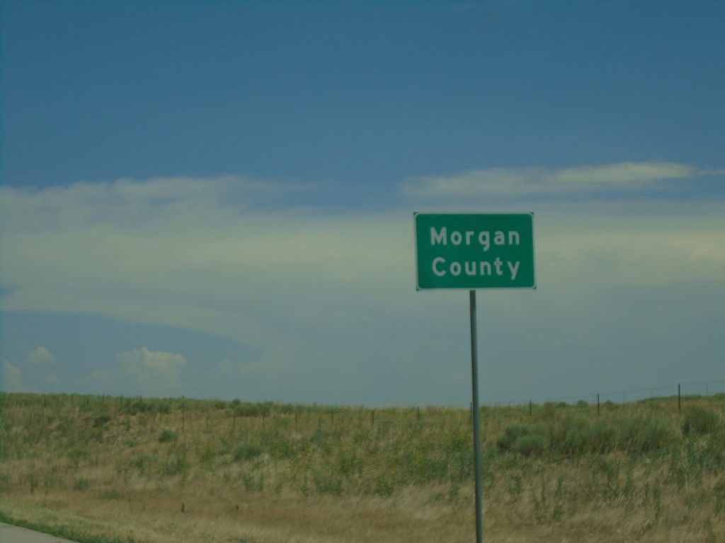
I-76 East - Morgan County
Morgan County on I-76 east.
Taken 07-10-2022
 Wiggins
Morgan County
Colorado
United States
Wiggins
Morgan County
Colorado
United States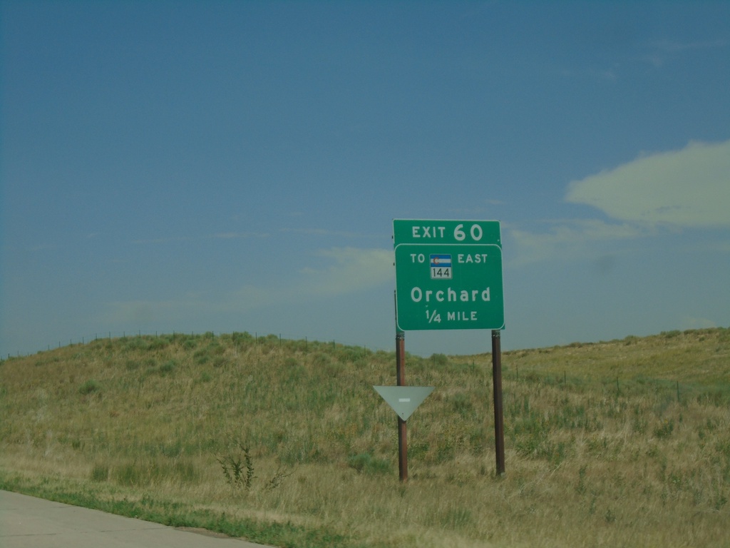
I-76 East - Exit 60
I-76 east approaching Exit 60 - To CO-144 East/Orchard.
Taken 07-10-2022
 Orchard
Weld County
Colorado
United States
Orchard
Weld County
Colorado
United States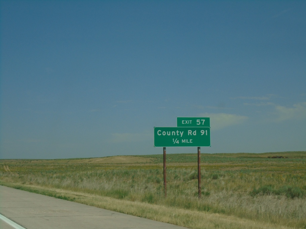
I-76 East - Exit 57
I-76 east approaching Exit 57 - County Road 91
Taken 07-10-2022
Orchard
Weld County
Colorado
United States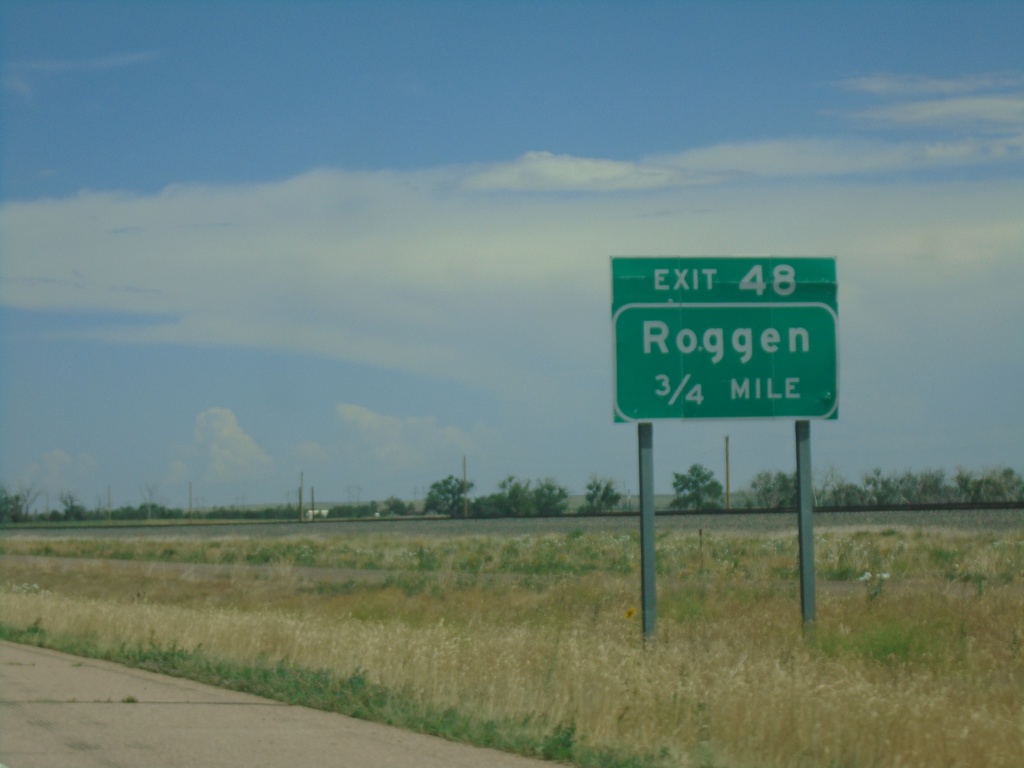
I-76 East - Exit 48
I-76 east approaching Exit 48 - Roggen
Taken 07-10-2022
Roggen
Weld County
Colorado
United States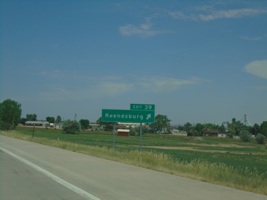
I-76 East - Exit 39
I-76 east at Exit 39 - Keenesburg
Taken 07-10-2022
Keenesburg
Weld County
Colorado
United States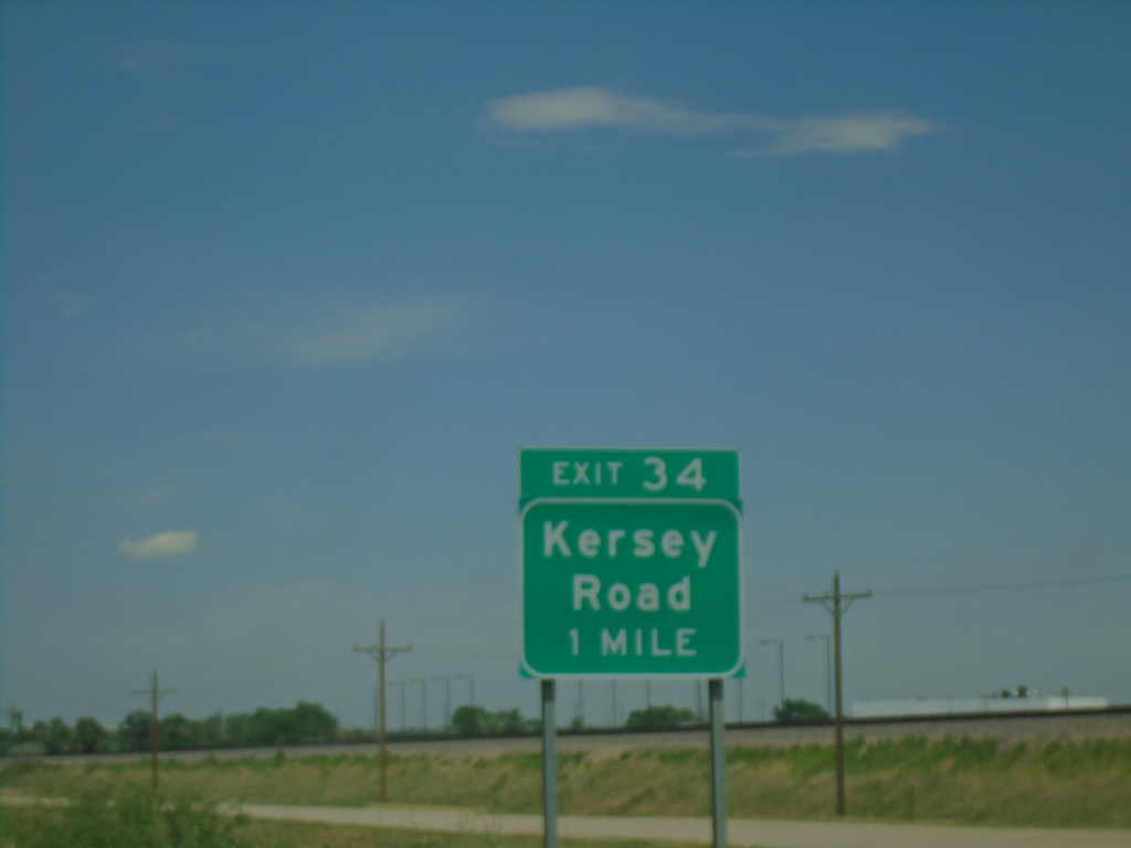
I-76 East - Exit 34
I-76 approaching Exit 34 - Kersey Road.
Taken 07-10-2022
Hudson
Weld County
Colorado
United States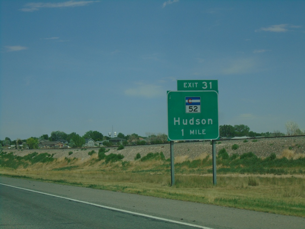
I-76 East - Exit 31
I-76 east approaching Exit 31 - CO-52/Hudson
Taken 07-10-2022
Hudson
Weld County
Colorado
United States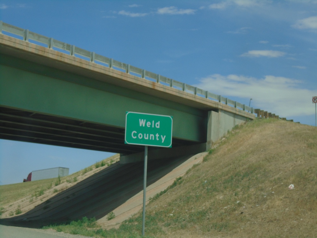
I-76 East - Weld County
Entering Weld County on I-76 East.
Taken 07-10-2022
Lochbuie
Weld County
Colorado
United States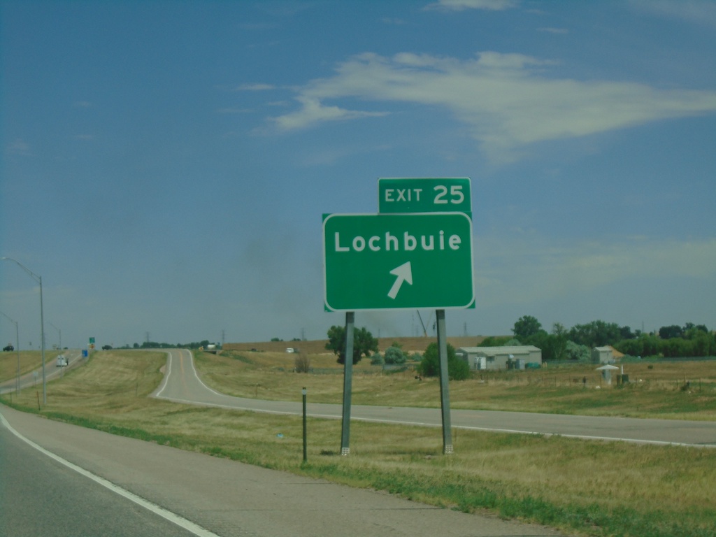
I-76 East - Exit 25
I-76 east approaching Exit 25 - Lochbuie.
Taken 07-10-2022
Brighton
Adams County
Colorado
United States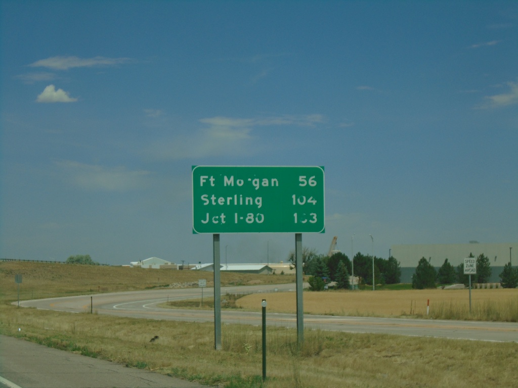
I-76 East - Distance Marker
Distance marker on I-76 east. Distance to Fort Morgan, Sterling, and I-80 (in Nebraska).
Taken 07-10-2022
Brighton
Adams County
Colorado
United States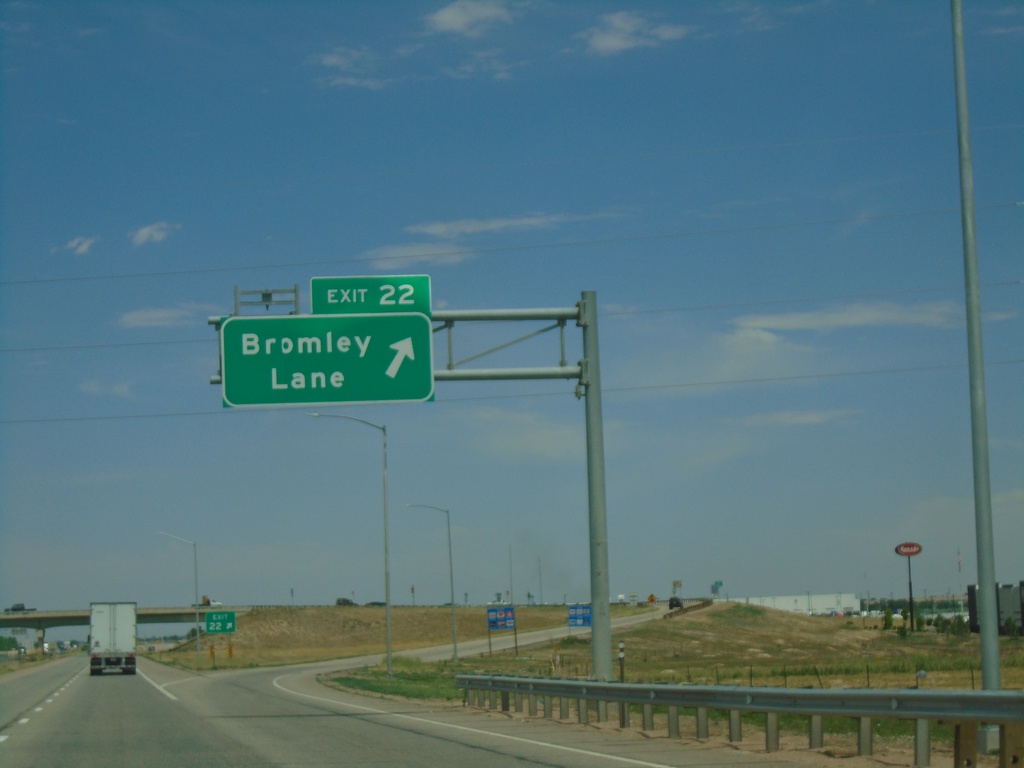
I-76 East - Exit 22
I-76 east at Exit 22 - Bromley Lane.
Taken 07-10-2022
Brighton
Adams County
Colorado
United States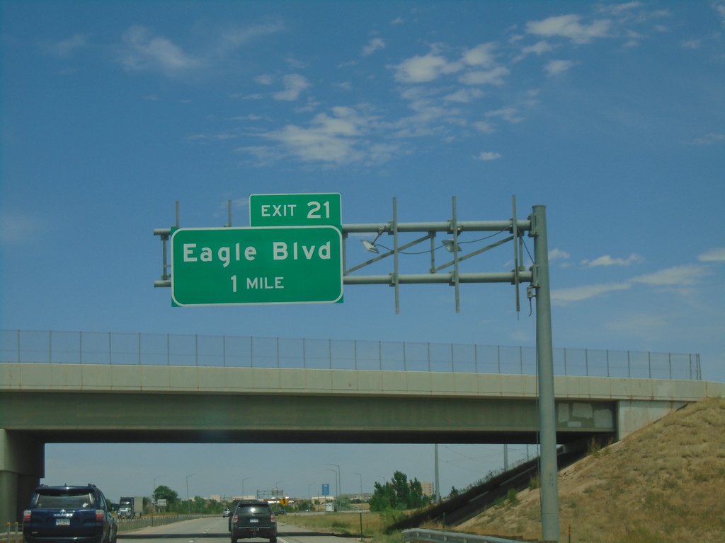
I-76 East - Exit 21
I-76 east approaching Exit 21 - Eagle Blvd
Taken 07-10-2022
Brighton
Adams County
Colorado
United States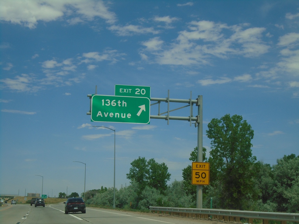
I-76 East - Exit 20
I-76 east at Exit 20 - 136th Ave.
Taken 07-10-2022
Brighton
Adams County
Colorado
United States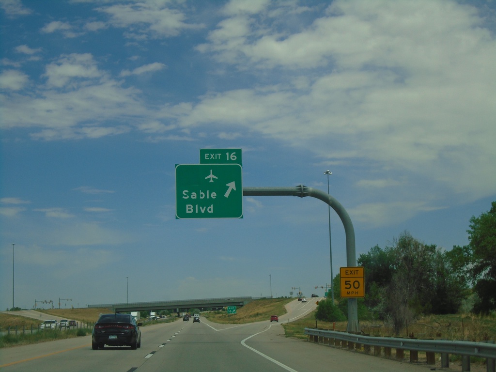
I-76 East - Exit 16
I-76 east at Exit 16 - Sable Blvd. Use Exit 16 for the Denver International Airport.
Taken 07-10-2022
 Brighton
Adams County
Colorado
United States
Brighton
Adams County
Colorado
United States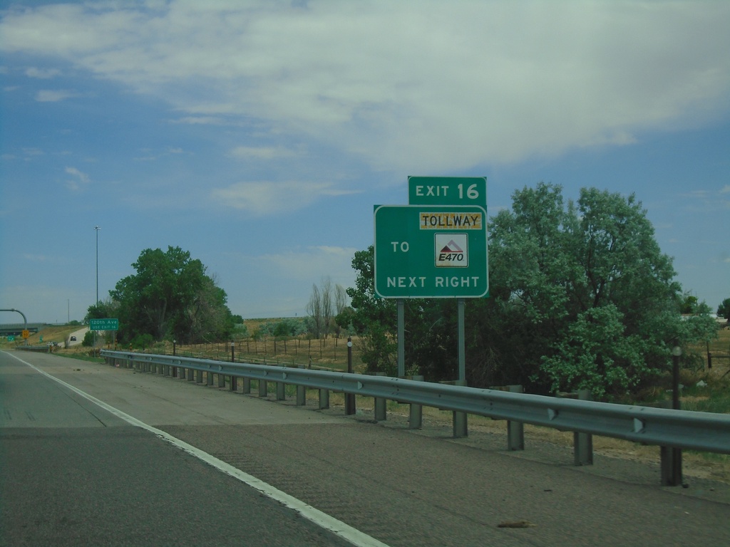
I-76 East - Exit 16
I-76 east approaching Exit 16. Use Exit 16 for E-470/Tollway.
Taken 07-10-2022
 Henderson
Adams County
Colorado
United States
Henderson
Adams County
Colorado
United States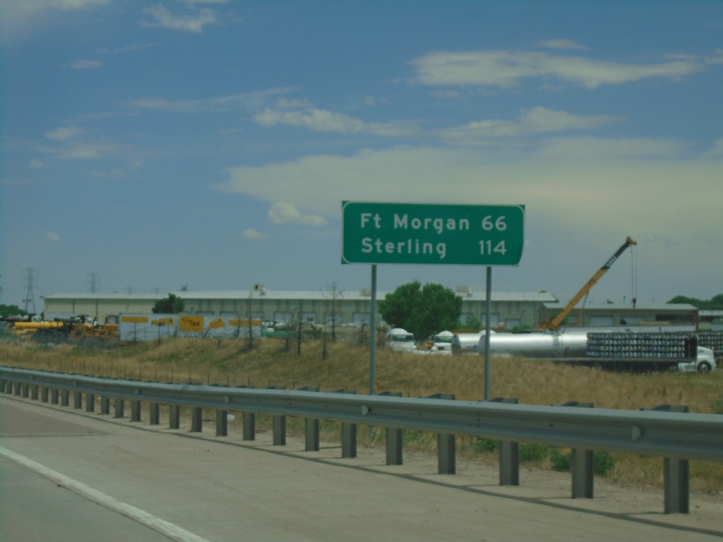
I-76 East - Distance Marker
Distance marker on I-76 east. Distance to Fort Morgan and Sterling.
Taken 07-10-2022
Henderson
Adams County
Colorado
United States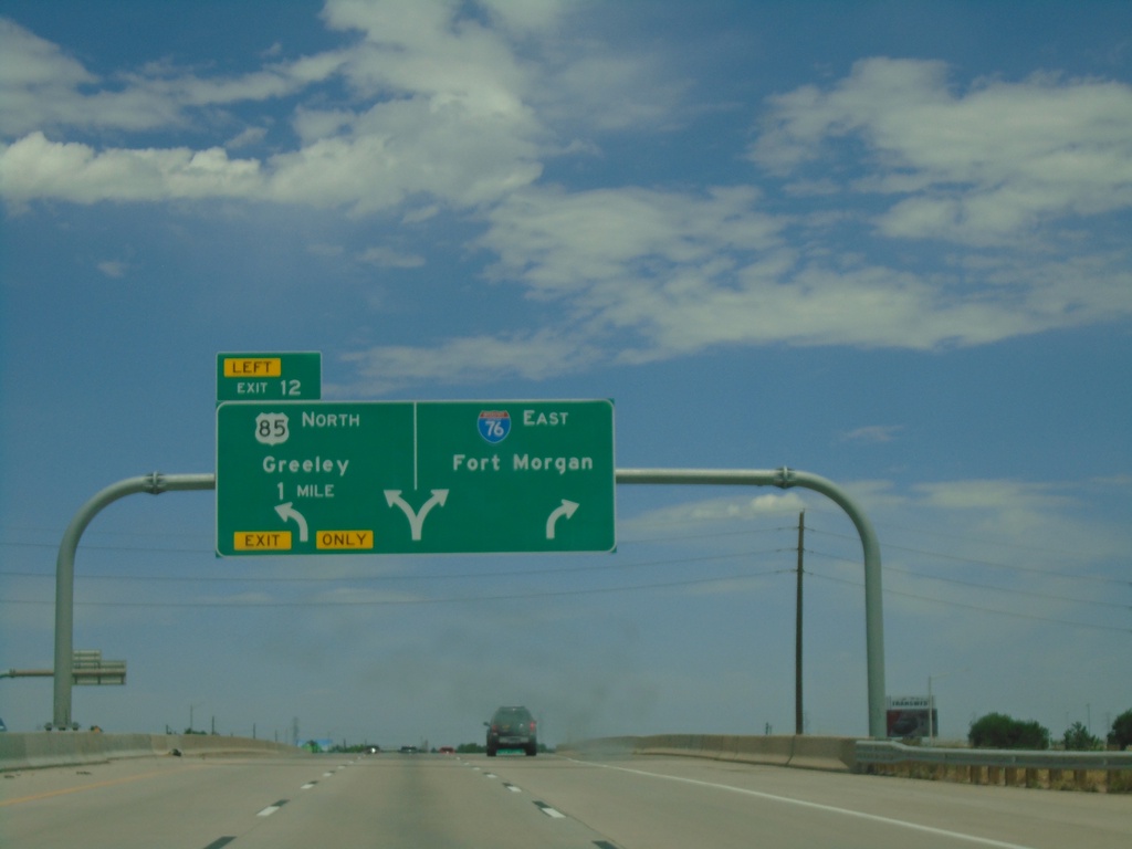
I-76 East - Exit 12
I-76 east approaching Exit 12 - US-85 North/Greeley. Use right lanes to continue east on I-76 to Fort Morgan.
Taken 07-10-2022
 Commerce City
Adams County
Colorado
United States
Commerce City
Adams County
Colorado
United States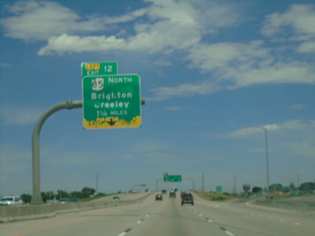
I-76 East - Exit 12
I-76 east approaching Exit 12 - US-85 North/Brighton/Greeley. Exit 12 is a left exit. US-85 north leaves I-76/US-6 Eastbound.
Taken 07-10-2022
Henderson
Adams County
Colorado
United States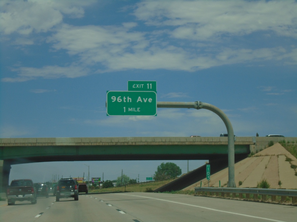
I-76 East - Exit 11
I-76 east approaching Exit 11 - 96th Ave.
Taken 07-10-2022
Commerce City
Adams County
Colorado
United States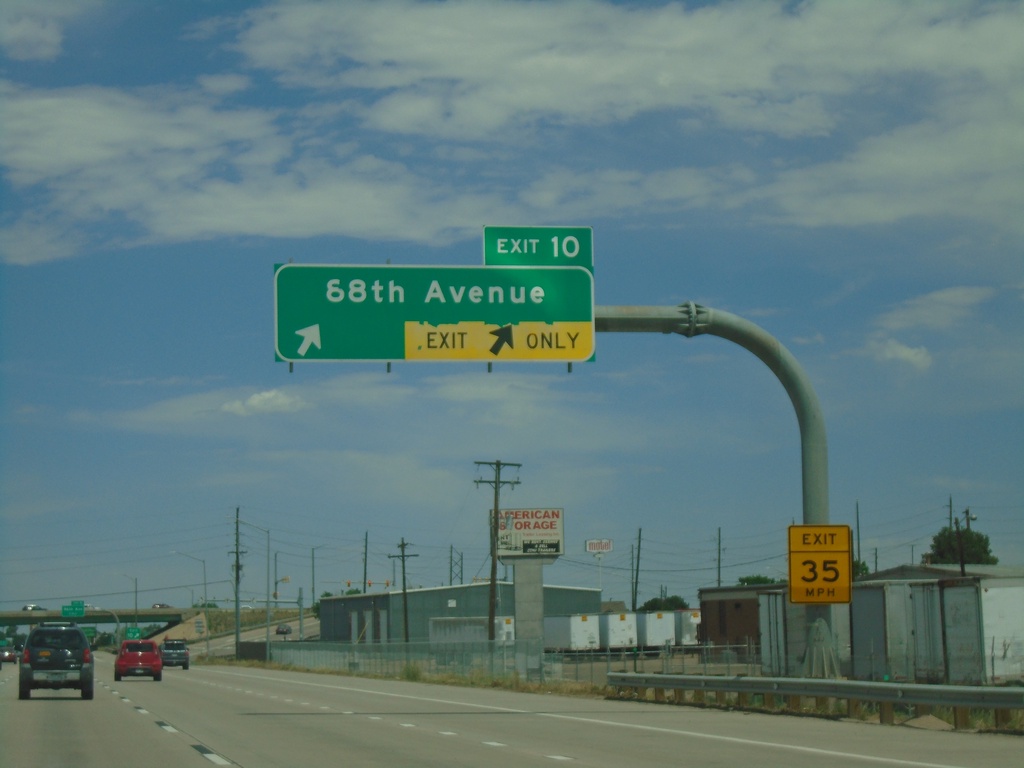
I-76 East - Exit 10
I-76 east approaching Exit 10 - 88th Ave.
Taken 07-10-2022
Commerce City
Adams County
Colorado
United States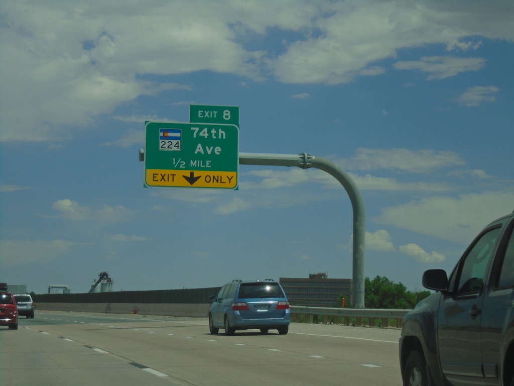
I-76 East - Exit 8
I-76 east approaching Exit 8 - CO-224/74th Ave.
Taken 07-10-2022
 North Washington
Adams County
Colorado
United States
North Washington
Adams County
Colorado
United States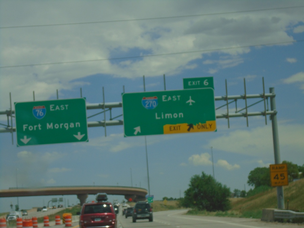
I-76 East - Exit 6
I-76 east at Exit 6 - I-270 East/Limon. Continue east on I-76 for Fort Morgan.
Taken 07-10-2022
 Denver
Adams County
Colorado
United States
Denver
Adams County
Colorado
United States