Signs Tagged With Big Green Sign
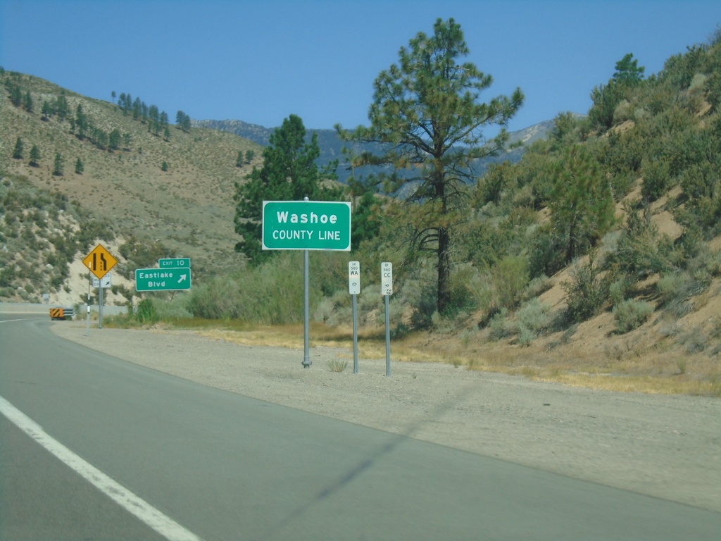
I-580/US-395 North - Washoe County Line
Washoe County Line on I-580/US-395 North.
Taken 07-12-2021

 Carson City
Washoe County
Nevada
United States
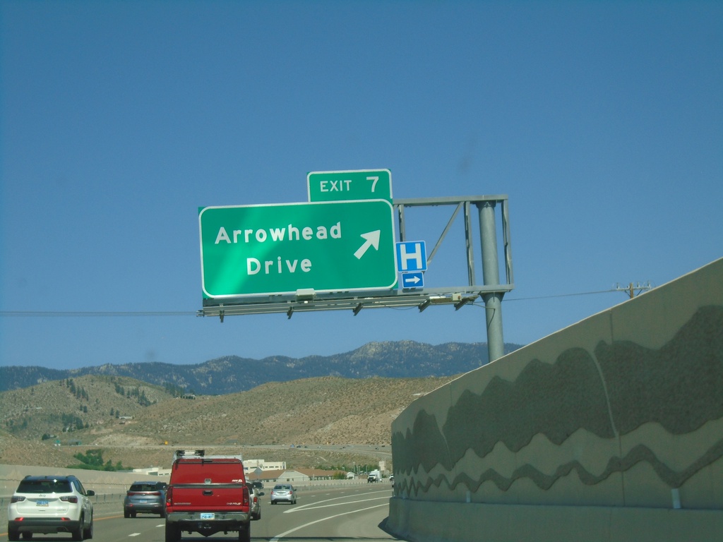
I-580 North - Exit 7
I-580/US-395 north approaching Exit 7 - Arrowhead Drive
Taken 07-12-2021

 Carson City
Nevada
United States
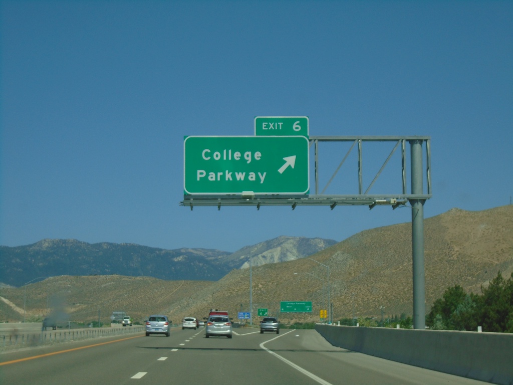
I-580 North - Exit 6
I-580/US-395 North at Exit 6 - College Parkway.
Taken 07-12-2021

 Carson City
Nevada
United States
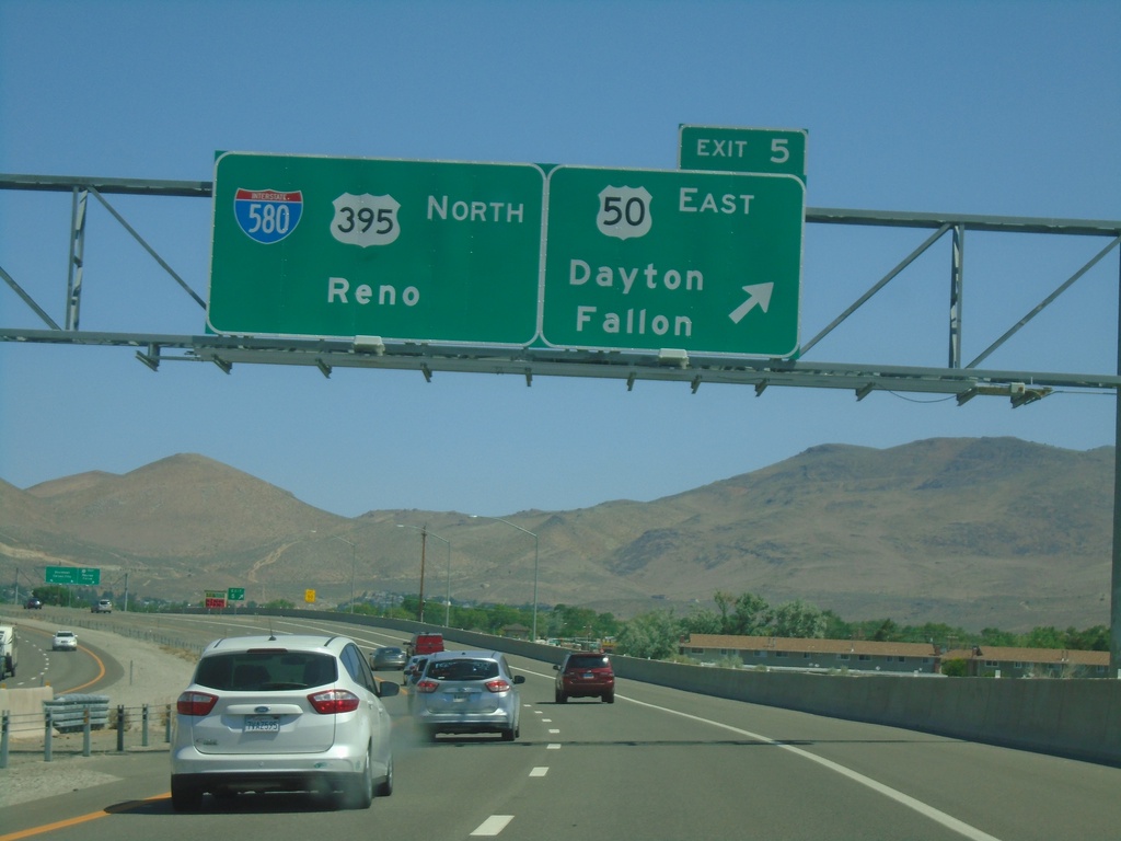
I-580 North - Exit 5
US-395 north at Exit 5 - US-50 East/Dayton/Fallon. Continue north on I-580/US-395 North for Reno. The US-50/US-395 split ends here.
Taken 07-12-2021


 Carson City
Nevada
United States
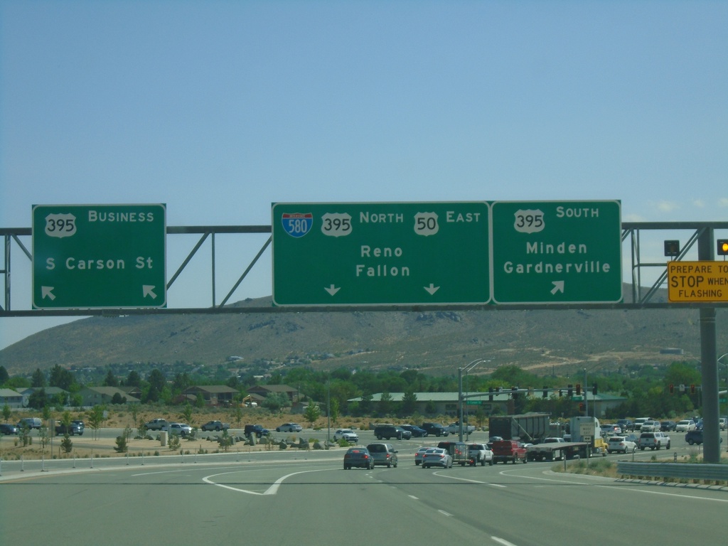
US-50 East Approaching US-395
US-50 east approaching I-580/US-395. Turn right for US-395 south for Minden and Gardnerville. Turn left for Bus. US-395/S Carson St. Continue straight for I-580 North/US-395 North/US-50 East/Reno/Fallon. US-50 joins I-580/US-395 north into Carson City.
Taken 07-12-2021


 Carson City
Nevada
United States
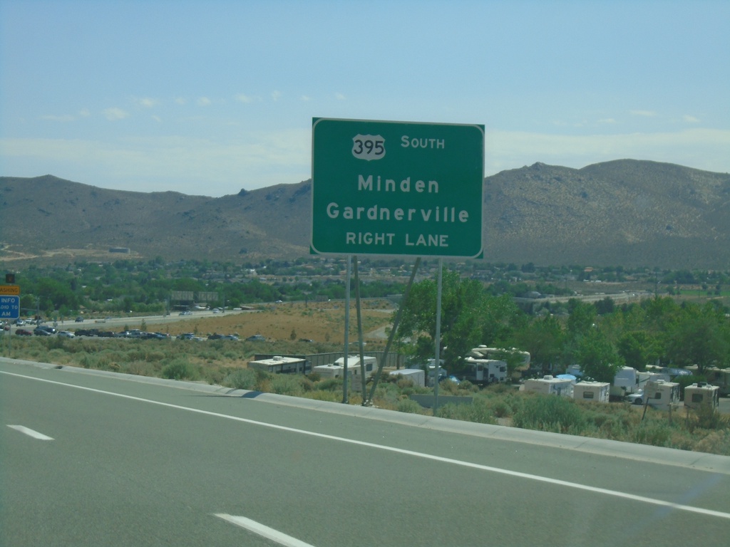
US-50 East Approaching I-580/US-395/Bus. US-395
US-50 East approaching I-580/US-395/Bus. US-395 in Carson City. Use US-395 south for Minden and Gardnerville.
Taken 07-12-2021


 Carson City
Nevada
United States
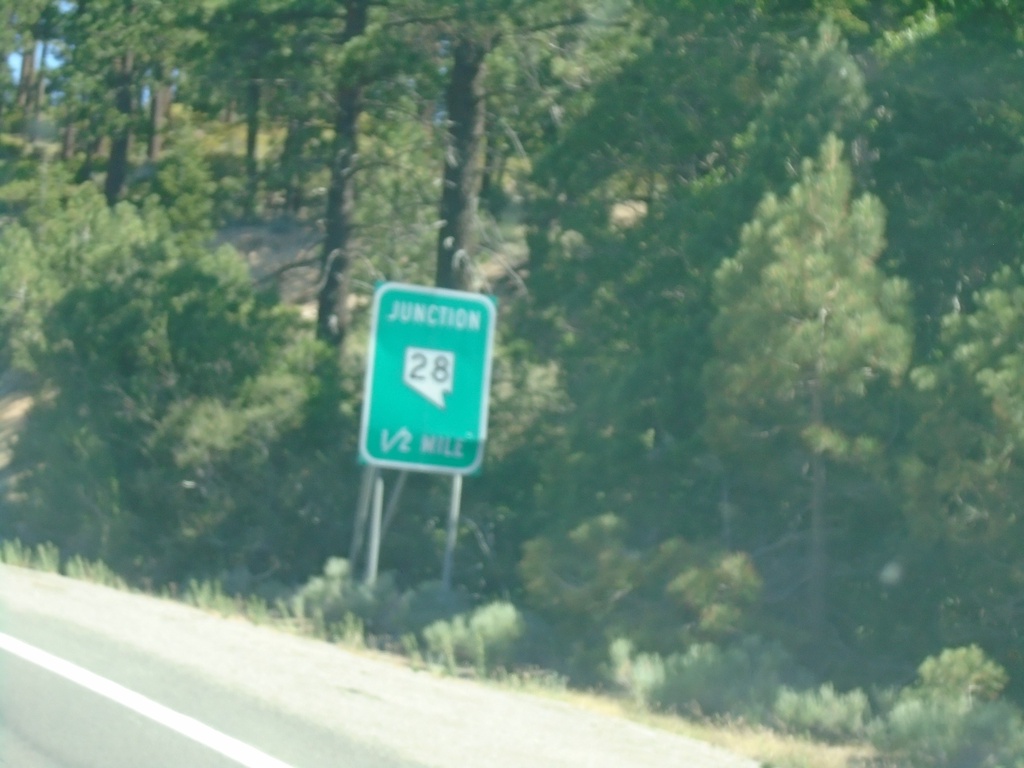
US-50 East Approaching NV-28
US-50 East approaching NV-28 in Douglas County. NV-28 loops around the northeast side of Lake Tahoe.
Taken 07-12-2021

 Glenbrook
Douglas County
Nevada
United States
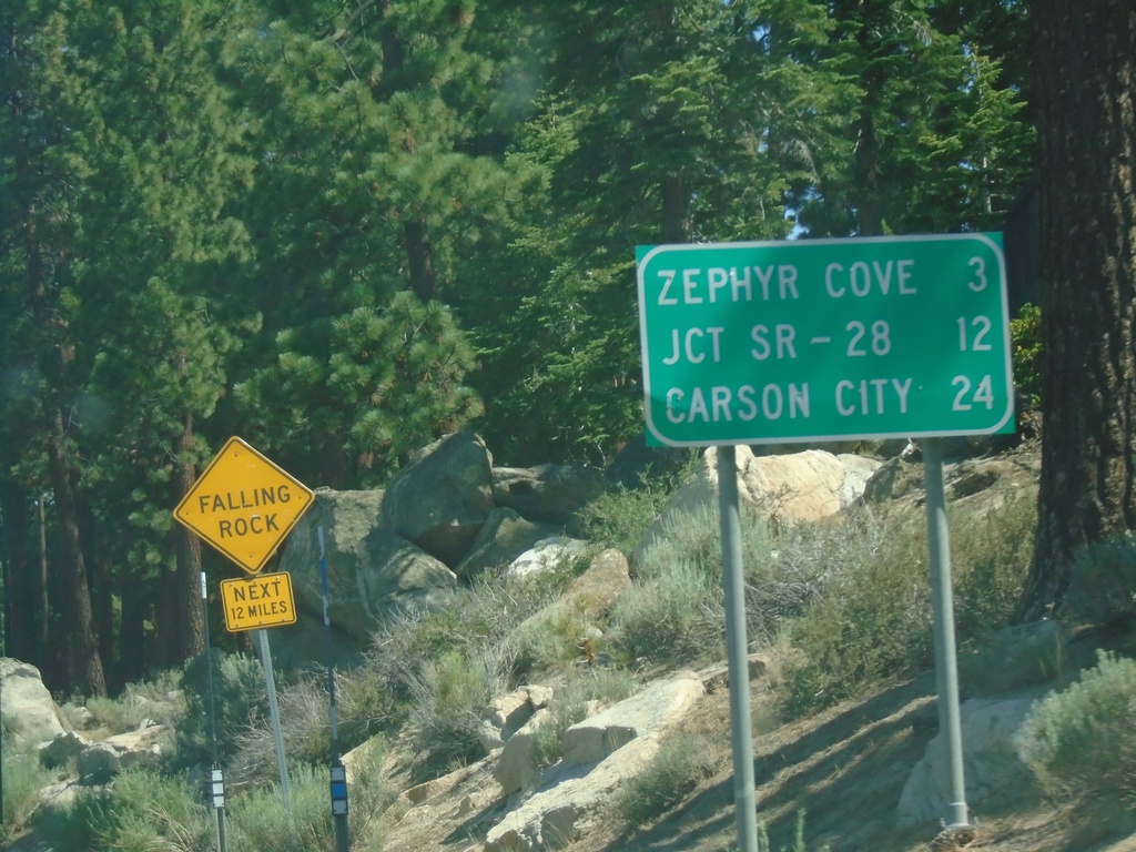
US-50 East - Distance Marker
First distance marker on US-50 east in Nevada. Distance to Zephyr Cove, Jct SR-28, and Carson City.
Taken 07-12-2021
 Stateline
Douglas County
Nevada
United States
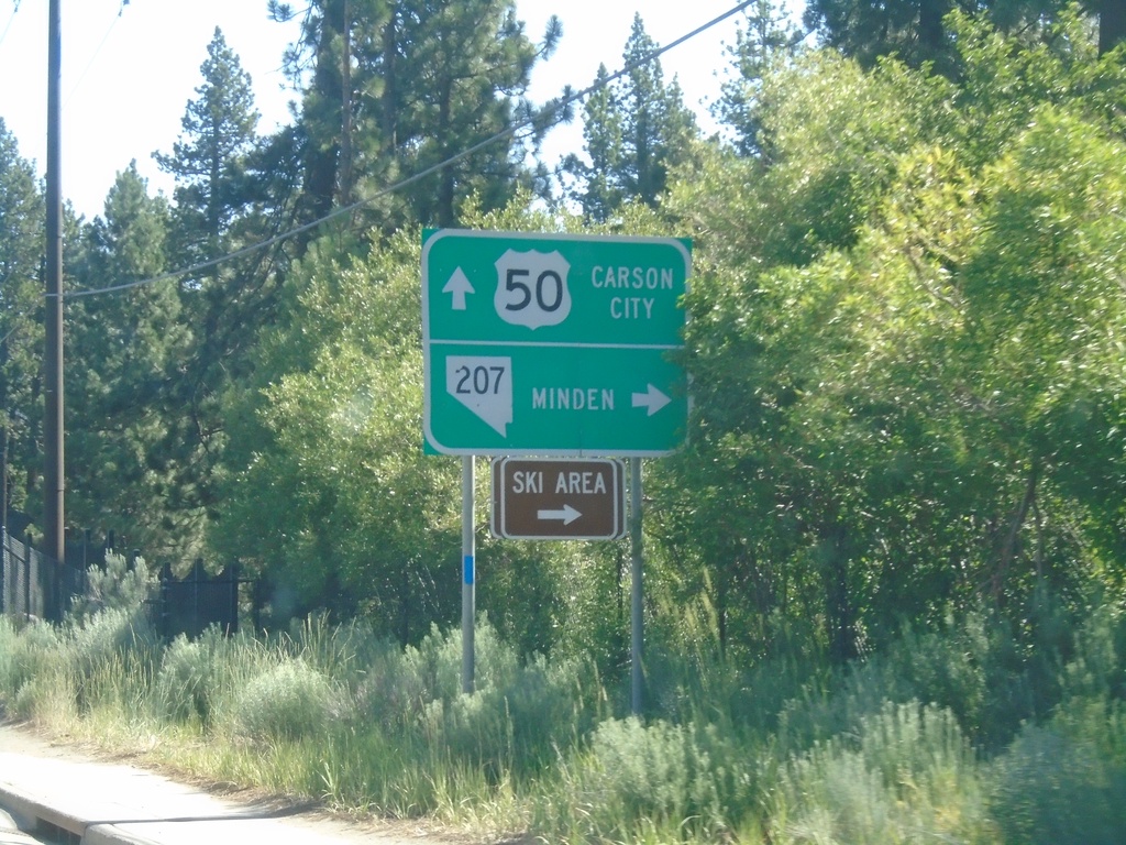
US-50 East at NV-207 East
US-50 East at NV-207 East to Minden and (Heavenly Valley) Ski Area. Continue east on US-50 for Carson City.
Taken 07-12-2021

 Stateline
Douglas County
Nevada
United States
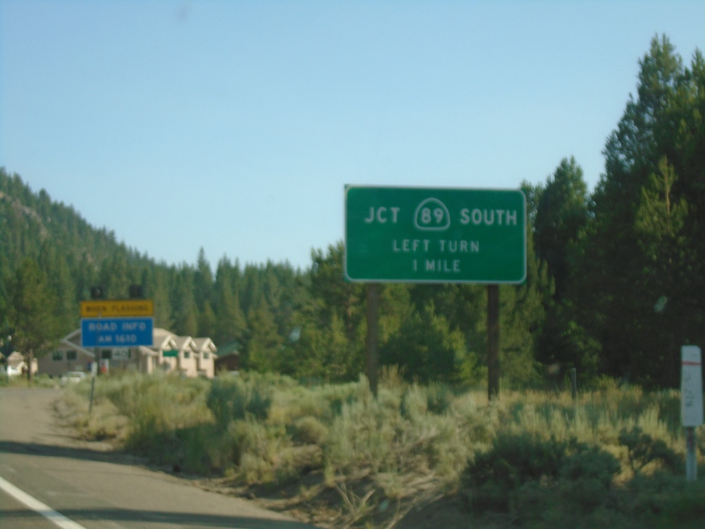
US-50 West/CA-89 South Approaching CA-89
US-50 west/CA-89 south approaching CA-89/US-50 split.
Taken 07-09-2021

 South Lake Tahoe
El Dorado County
California
United States
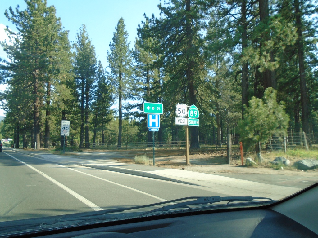
US-50 West/CA-89 South - South Lake Tahoe
US-50 West/CA-89 South in South Lake Tahoe at B St.
Taken 07-09-2021

 South Lake Tahoe
El Dorado County
California
United States
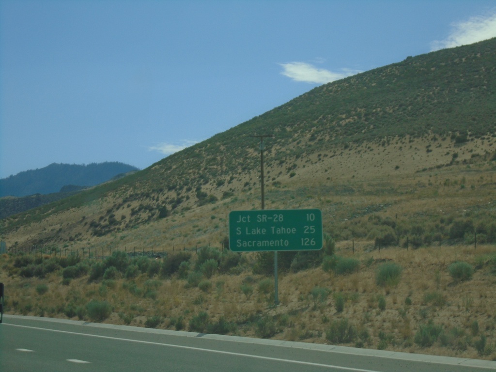
US-50 West - Distance Marker
Distance marker on US-50 west. Distance to Jct. SR-28, South Lake Tahoe (CA), and Sacramento (CA).
Taken 07-09-2021
 Carson City
Nevada
United States
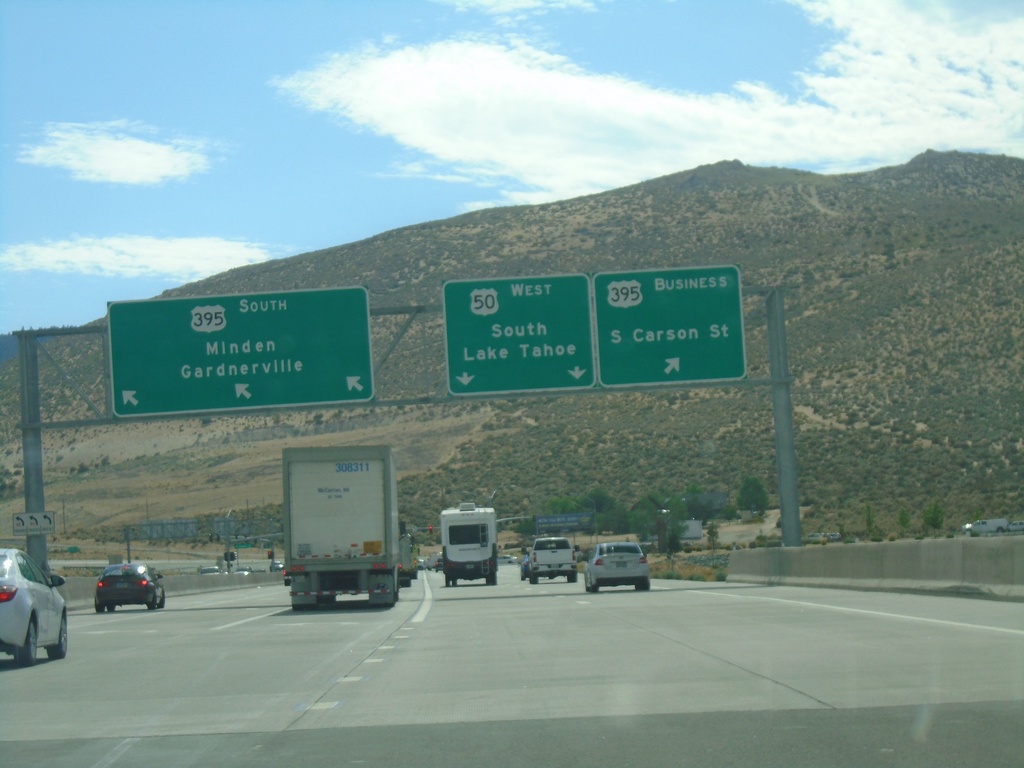
End I-580 South at US-395/US-50/Bus. US-395
End I-580 South at US-395/US-50/Bus. US-395 in Carson City. Turn left for Bus. US-395 North/Carson City; right for US-395 South/Minden/Gardnerville. Continue straight for US-50 West/South Lake Tahoe (California).
Taken 07-09-2021


 Carson City
Nevada
United States
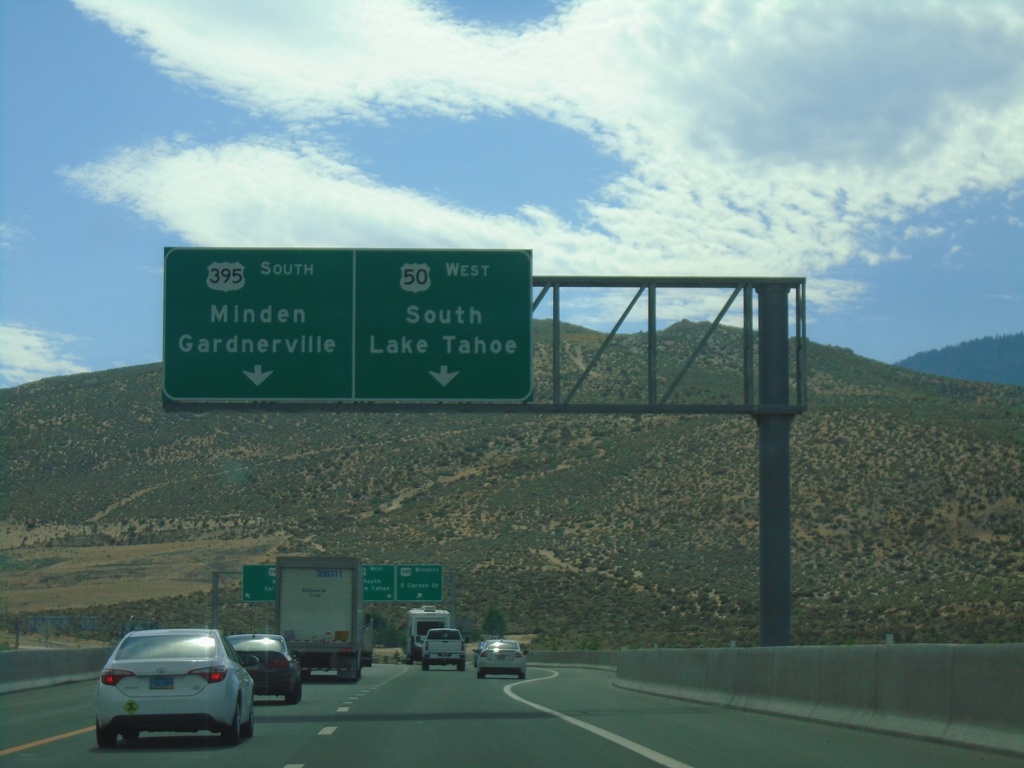
End I-580 South at US-50/US-395/Bus. US-395
End I-580 South at US-50/US-395/Bus. US-395 in Carson City. Use US-395 south for Minden/Gardnerville. Use US-50 West for South Lake Tahoe (California).
Taken 07-09-2021


 Carson City
Nevada
United States
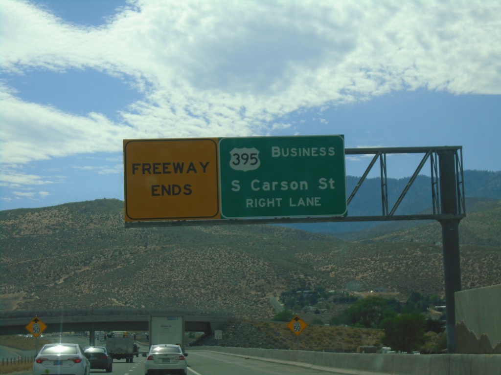
I-580 South Approaching Bus. US-395
I-580 South Approaching Bus. US-395/Carson Street. I-580 and the freeway ends at Carson St.
Taken 07-09-2021


 Carson City
Nevada
United States
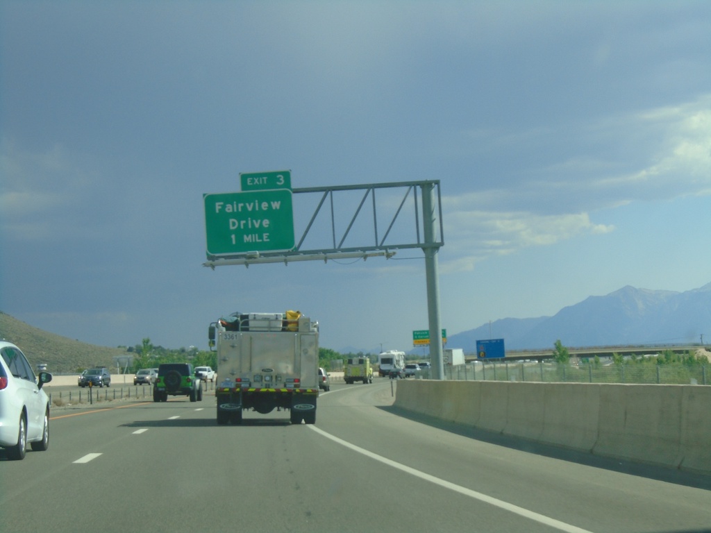
I-580 South - Exit 3
I-580/US-395 South/US-50 West approaching Exit 3 - Fairview Drive.
Taken 07-09-2021


 Carson City
Nevada
United States
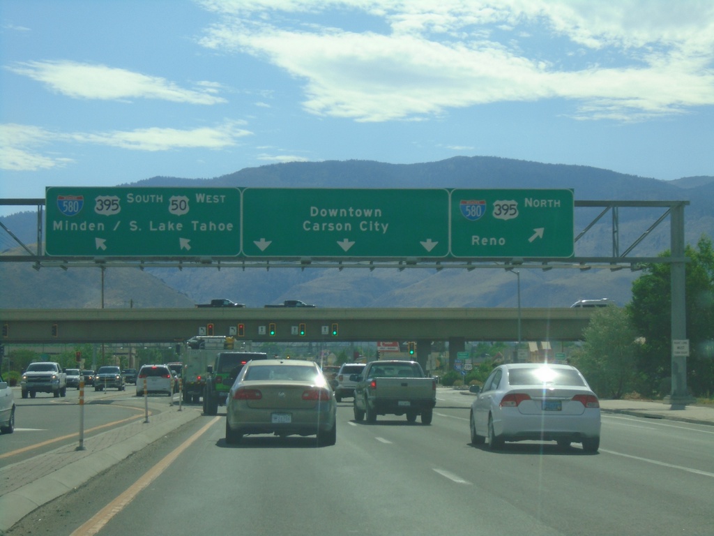
US-50 West Approaching I-580/US-395
US-50 west approaching I-580/US-395. Use I-580/US-395 north for Reno. US-50 west joins I-580/US-395 south for Minden and South Lake Tahoe (CA). Continue on William St. for Downtown Carson City.
Taken 07-09-2021


 Carson City
Nevada
United States
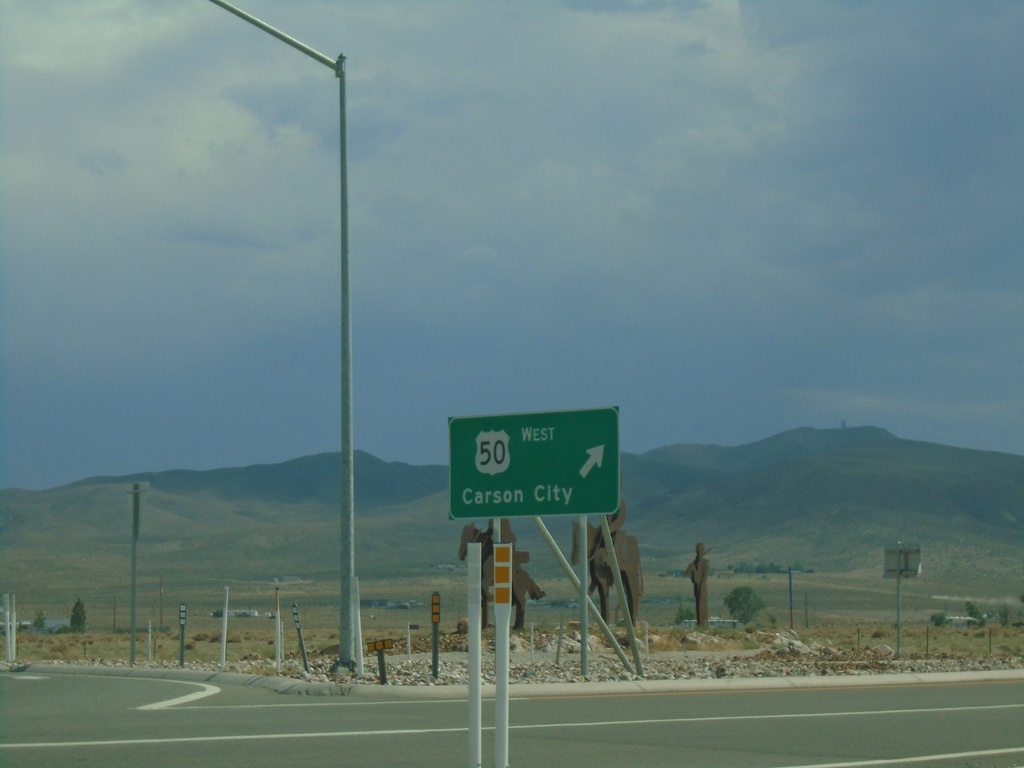
End NV-439 South at US-50
End NV-439 South at US-50 Roundabout in Lyon County. Exit roundabout for US-50 West to Carson City.
Taken 07-09-2021

 Silver Springs
Lyon County
Nevada
United States
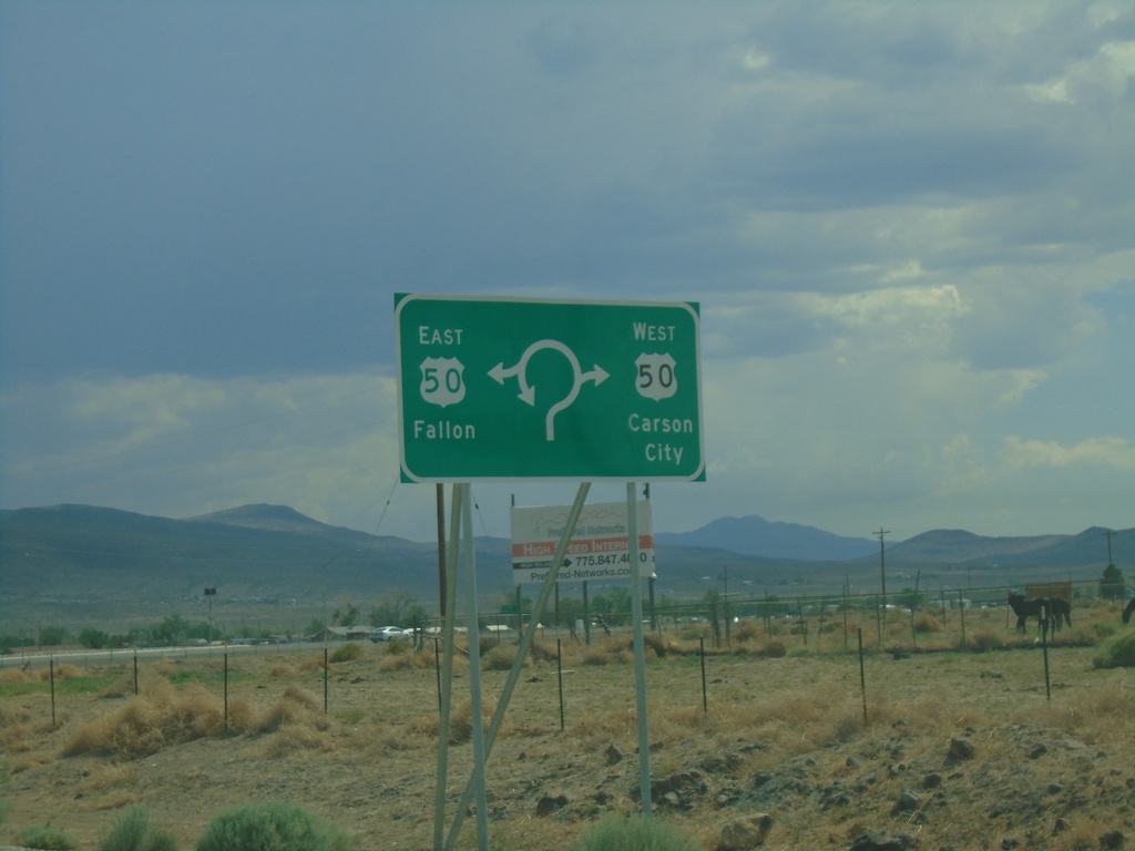
End NV-439 South at US-50 Roundabout
End NV-439 South at US-50 Roundabout in Lyon County. Use US-50 East for Fallon; US-50 West for Carson City.
Taken 07-09-2021

 Silver Springs
Lyon County
Nevada
United States
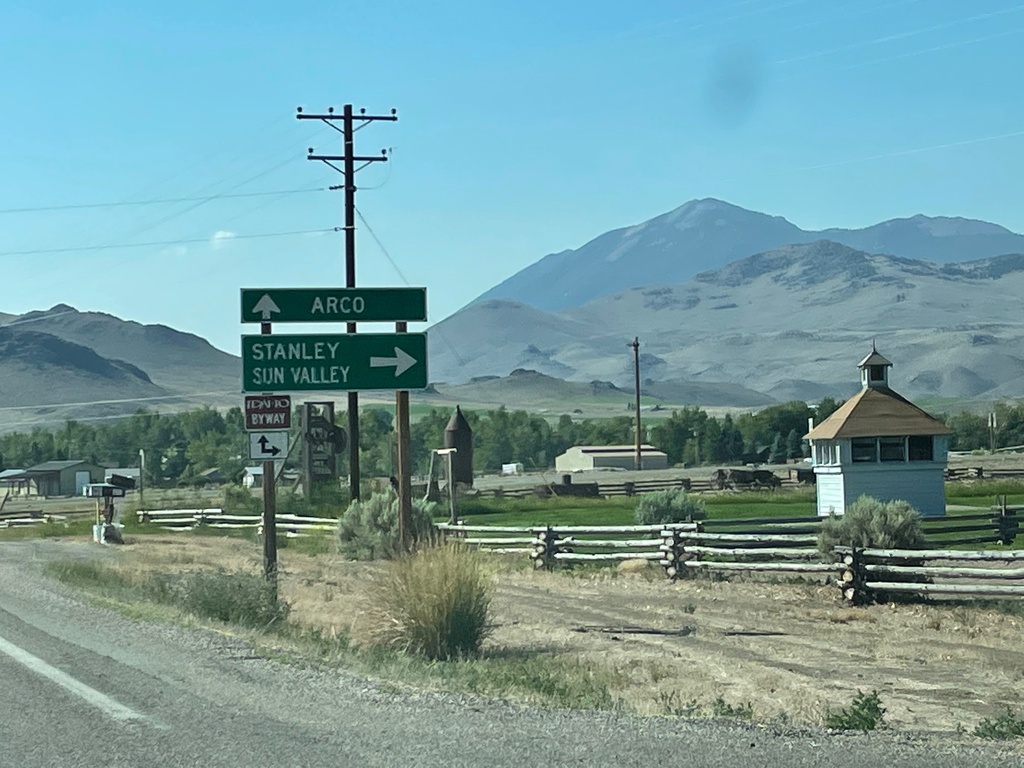
US-93 South at ID-75
US-93 South at ID-75 in Custer County. Turn right for ID-75 south to Stanley and Sun Valley. Continue south on US-93 for Arco.
Taken 07-03-2021

 Challis
Custer County
Idaho
United States
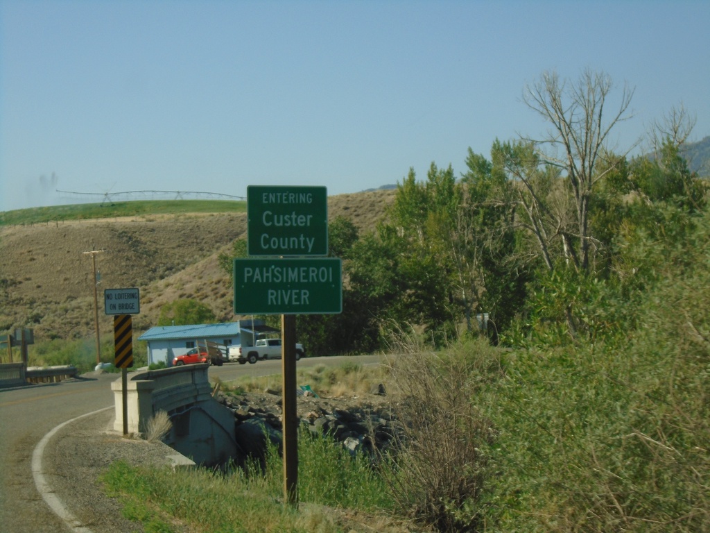
US-93 South - Custer County/Pahsimeroi River
US-93 South Entering Custer County at the Pahsimeroi River
Taken 07-03-2021
 Ellis
Custer County
Idaho
United States
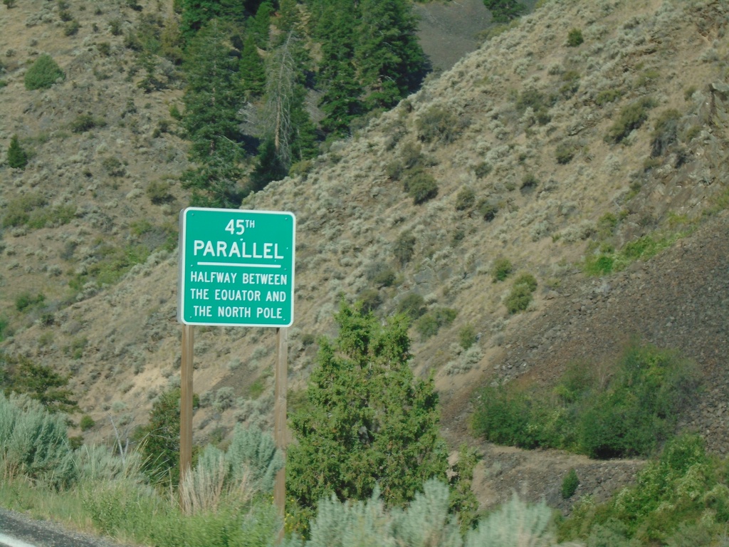
US-93 South - 45th Parallel
US-93 South - 45th Parallel - Halfway Between Equator and North Pole.
Taken 07-03-2021
 Salmon
Lemhi County
Idaho
United States
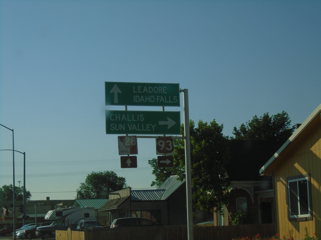
US-93 South at ID-28
US-93 south at ID-28 in Salmon. Turn right to continue south on US-93 to Challis and Sun Valley. Continue straight on Main St. for ID-28 South to Leadore and Idaho Falls.
Taken 07-03-2021

 Salmon
Lemhi County
Idaho
United States
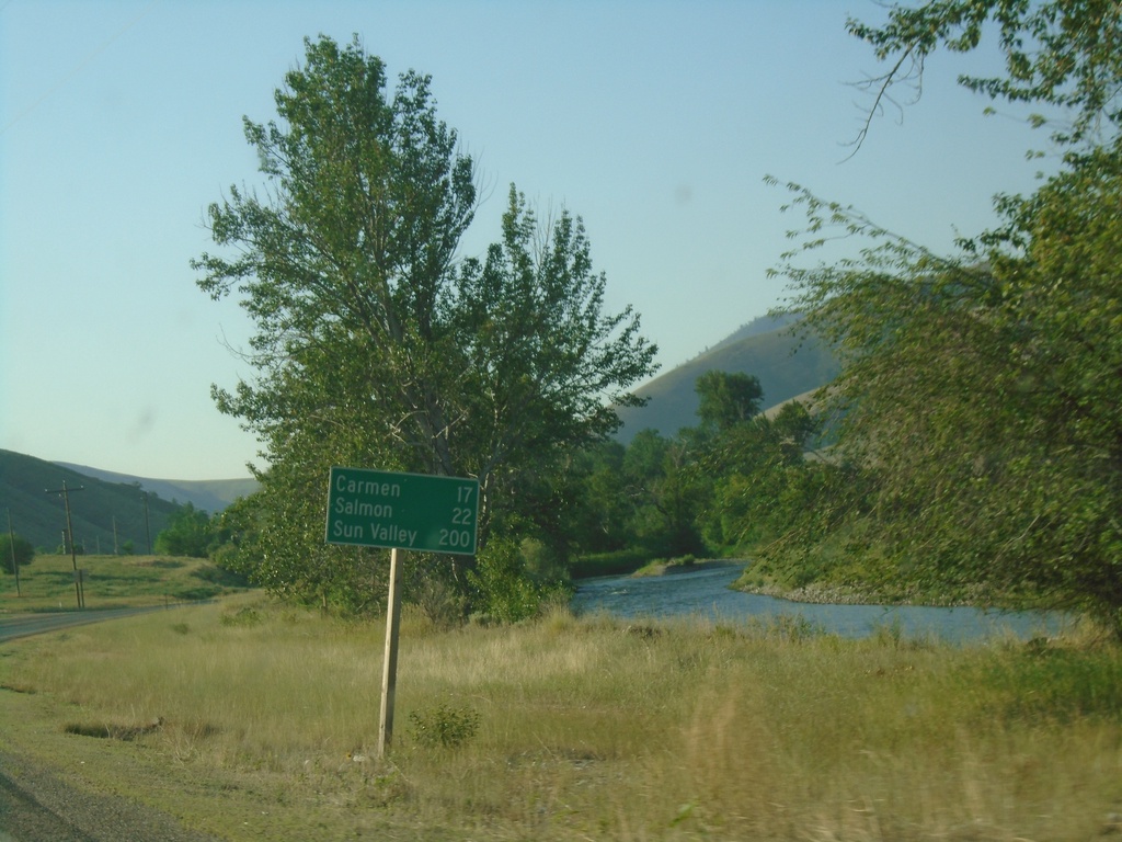
US-93 South - Distance Marker
Distance marker on US-93 south. Distance to Carmen, Salmon, and Sun Valley.
Taken 07-03-2021
 North Fork
Lemhi County
Idaho
United States
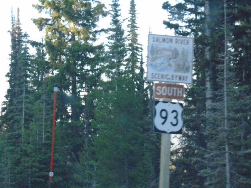
US-93 South - Salmon River Scenic Byway
US-93 South - Salmon River Scenic Byway in Lemhi County.
Taken 07-03-2021
 Gibbonsville
Lemhi County
Idaho
United States