Signs Tagged With Big Green Sign
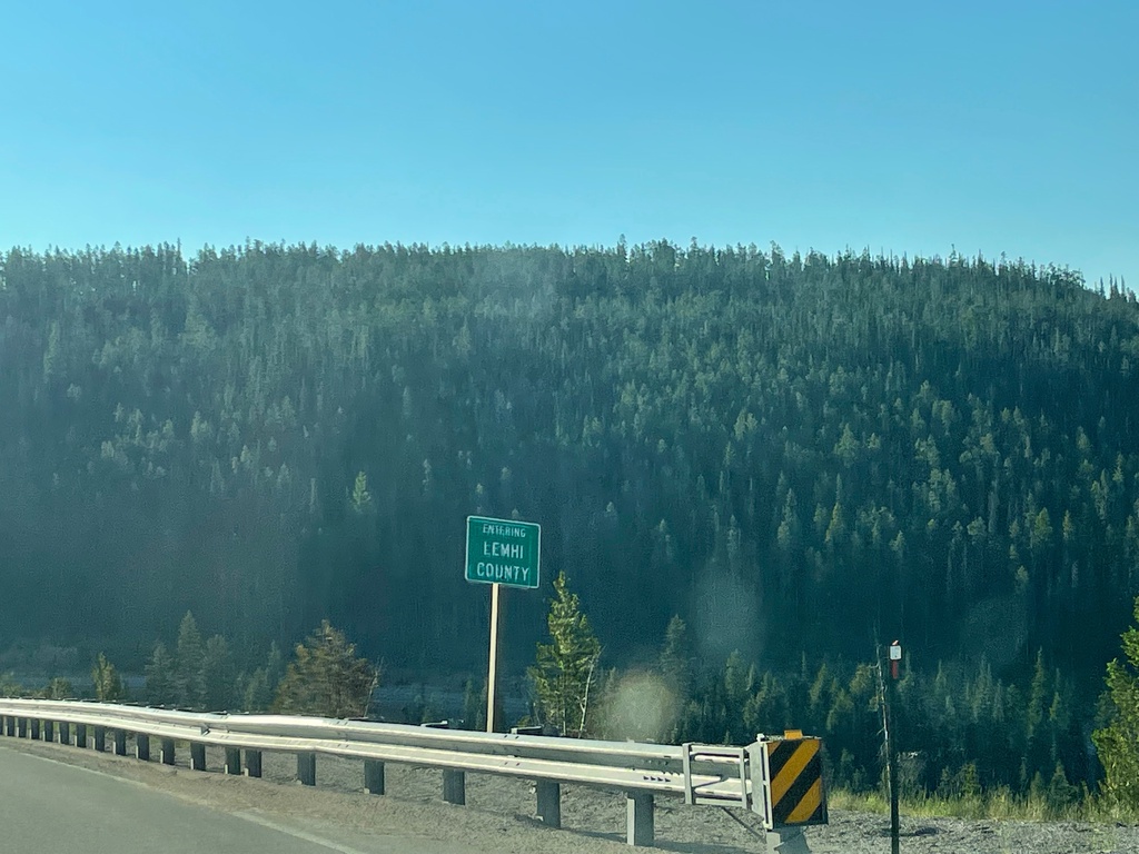
US-93 South - Lemhi County
Entering Lemhi County on US-93 south. Taken at the Idaho-Montana State Line at Lost Trail Pass.
Taken 07-03-2021
 Gibbonsville
Lemhi County
Idaho
United States
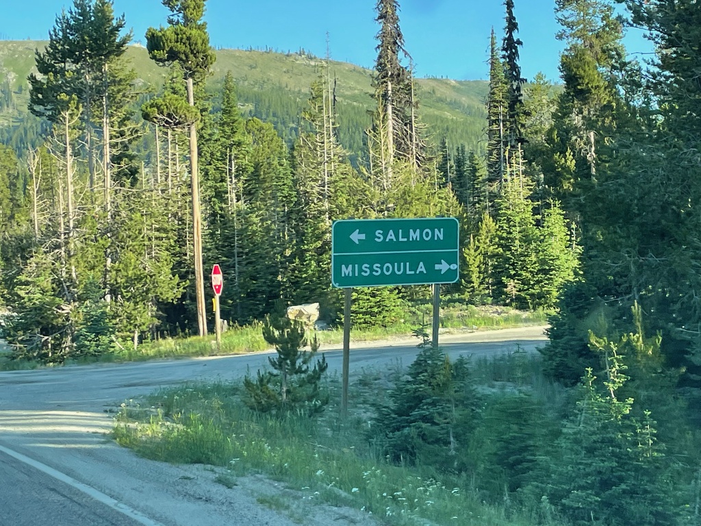
End MT-43 West at US-93 - Lost Trail Pass
End MT-43 West at US-93 at Lost Trail Pass. Turn right for US-93 north to Missoula; left for US-93 south to Salmon (Idaho). This junction is just north of the Idaho-Montana boundary.
Taken 07-03-2021

 Sula
Ravalli County
Montana
United States
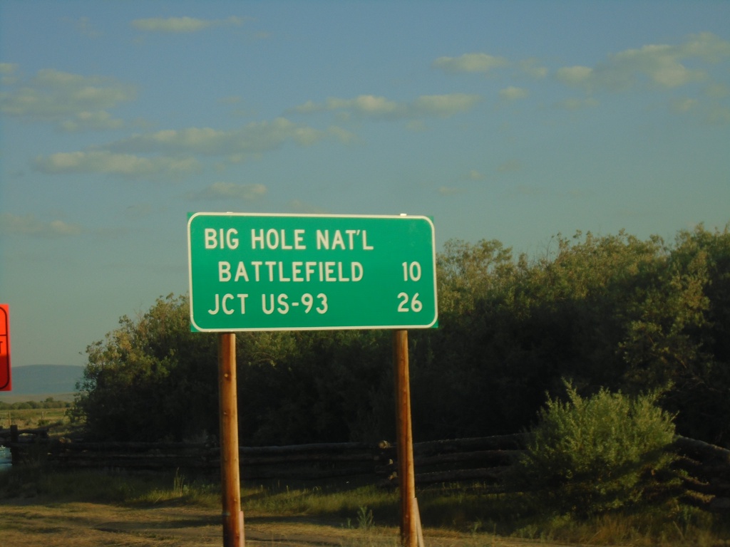
MT-43 West - Distance Marker
Distance marker on MT-43 west. Distance to Big Hole National Battlefield and Jct. US-93.
Taken 07-03-2021
 Wisdom
Beaverhead County
Montana
United States
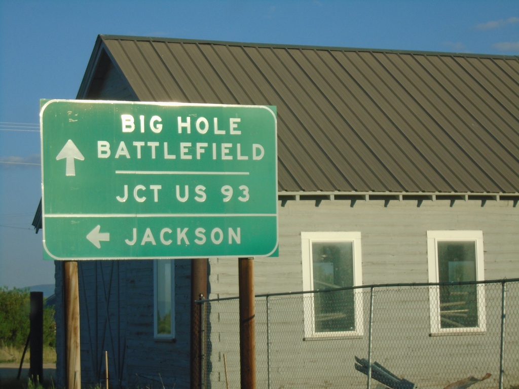
MT-43 West at MTS-278
MT-43 West at MTS-278 to Jackson. Continue west on MT-43 for Big Hole Battlefield and Jct. US-93.
Taken 07-03-2021

 Wisdom
Beaverhead County
Montana
United States
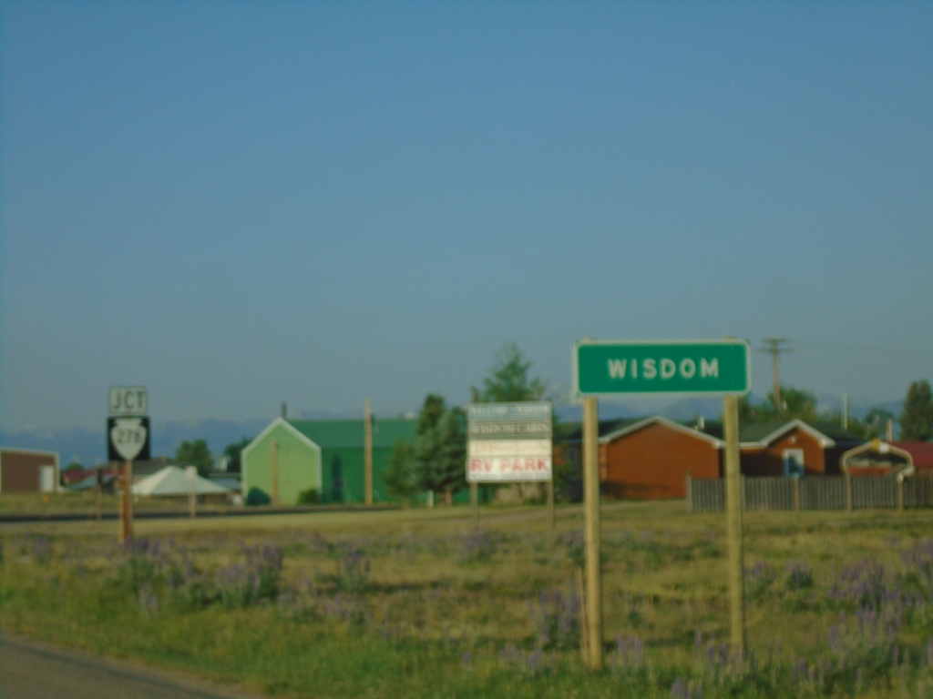
MT-43 West - Entering Wisdom and Approaching MTS-278
Entering Wisdom and approaching MTS-278 on MT-43 west.
Taken 07-03-2021

 Wisdom
Beaverhead County
Montana
United States
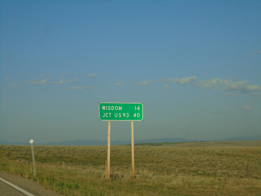
MT-43 West - Distance Marker
Distance marker on MT-43 west. Distance to Wisdom and Jct. US-93.
Taken 07-03-2021
 Wise River
Beaverhead County
Montana
United States
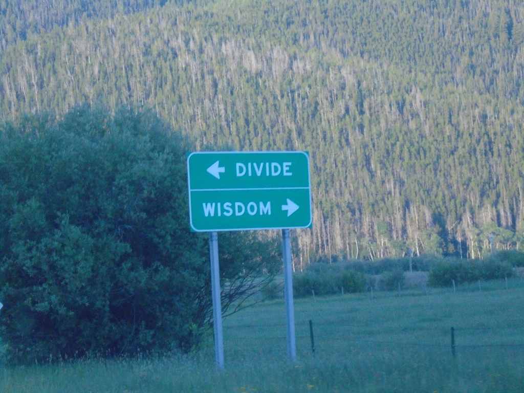
MTS-569 South at MT-43
MTS-569 South at MT-43 in Deer Lodge County. Use MT-43 west for Wisdom; MT-43 east for Divide.
Taken 07-03-2021

 Wise River
Deer Lodge County
Montana
United States
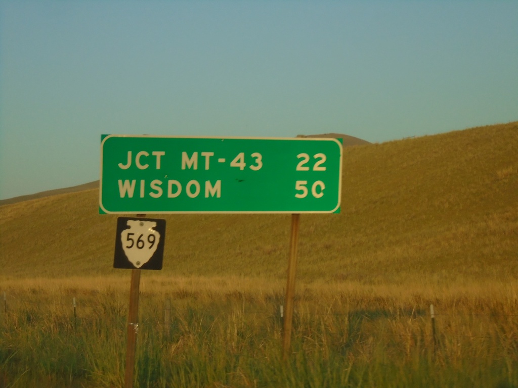
MTS-569 South - Distance Marker
Distance marker on MTS-569 south. Distance to Jct. MT-43 and Wisdom.
Taken 07-03-2021
 Anaconda
Deer Lodge County
Montana
United States
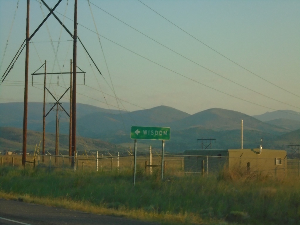
MT-1 West Approaching MTS-569
MT-1 West approaching MTS-569 south to Wisdom.
Taken 07-03-2021

 Anaconda
Deer Lodge County
Montana
United States
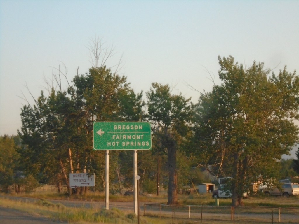
MT-1 West Approaching MTS-441
MT-1 West approaching MTS-441 to Gregson and Fairmont Hot Springs.
Taken 07-03-2021

 Anaconda
Deer Lodge County
Montana
United States
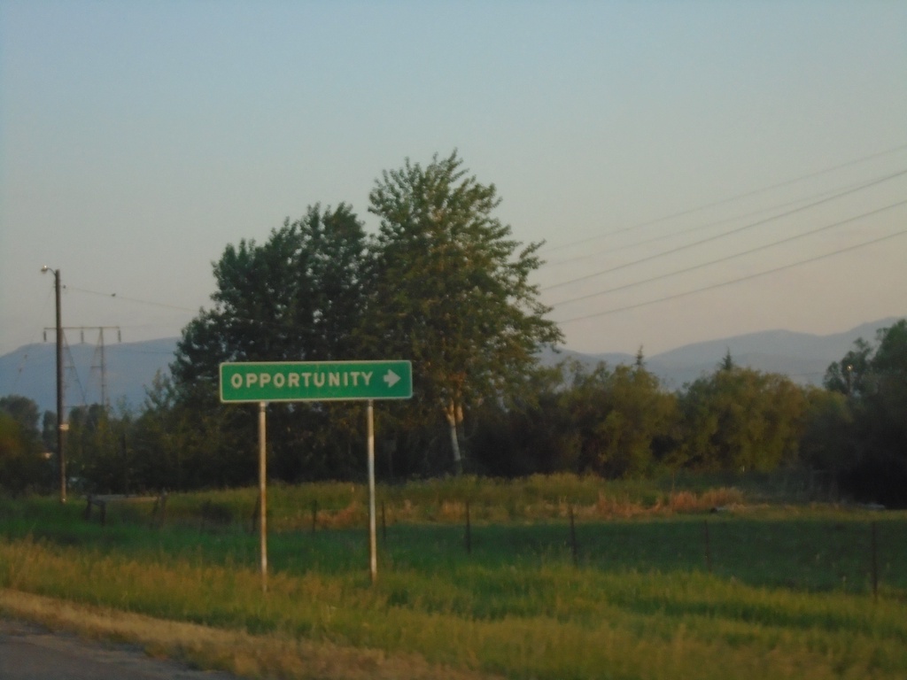
MT-1 West - Opportunity
MT-1 West at Opportunity junction.
Taken 07-03-2021
 Anaconda
Deer Lodge County
Montana
United States
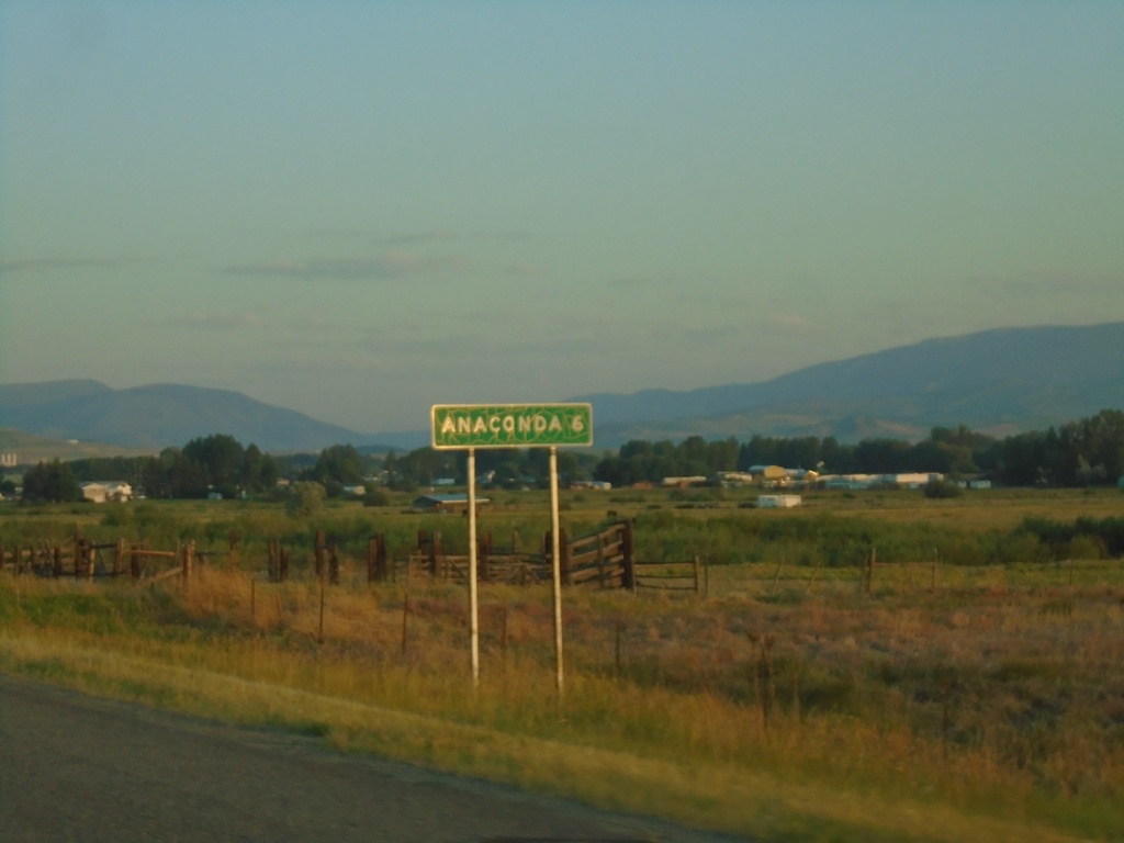
MT-1 West - Distance Marker
Distance marker on MT-1 west. Distance to Anaconda.
Taken 07-03-2021
 Anaconda
Deer Lodge County
Montana
United States
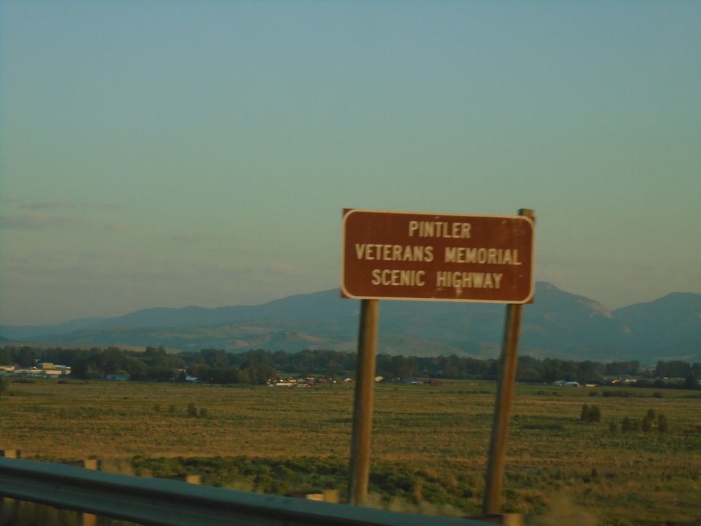
MT-1 West - Pintler Veterans Memorial Scenic Highway
Pintler Veterans Memorial Scenic Highway on MT-1 west.
Taken 07-03-2021
 Anaconda
Deer Lodge County
Montana
United States
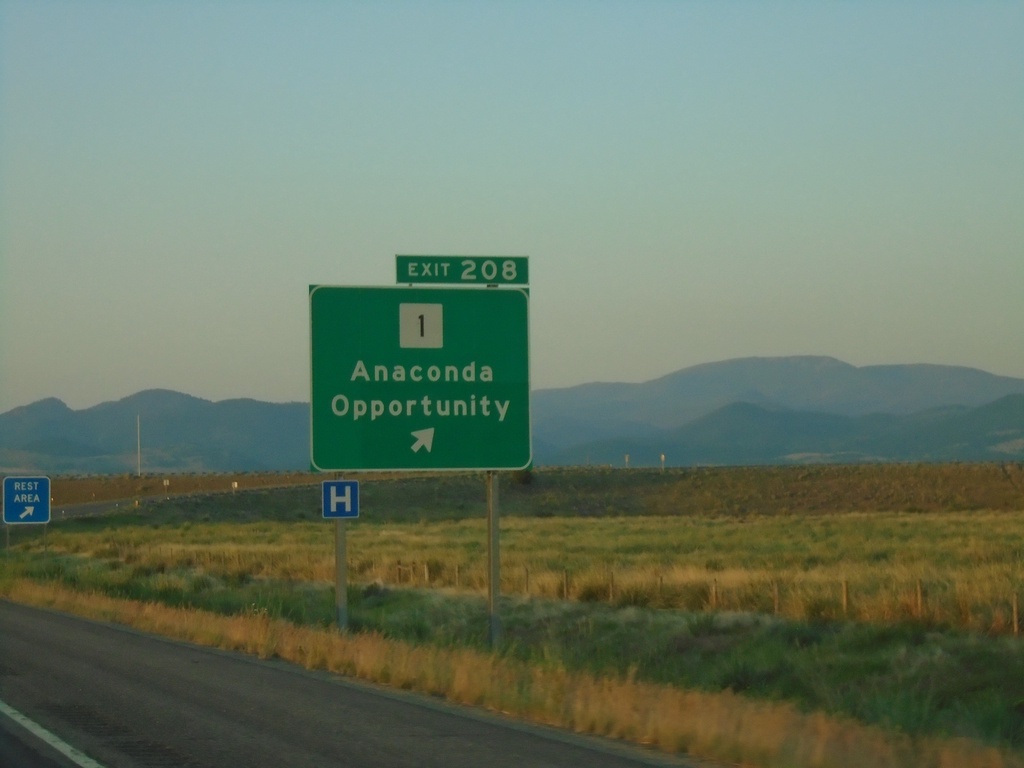
I-90 East - Exit 208
I-90 east at Exit 208 - MT-1/Anaconda/Opportunity.
Taken 07-03-2021

 Anaconda
Deer Lodge County
Montana
United States
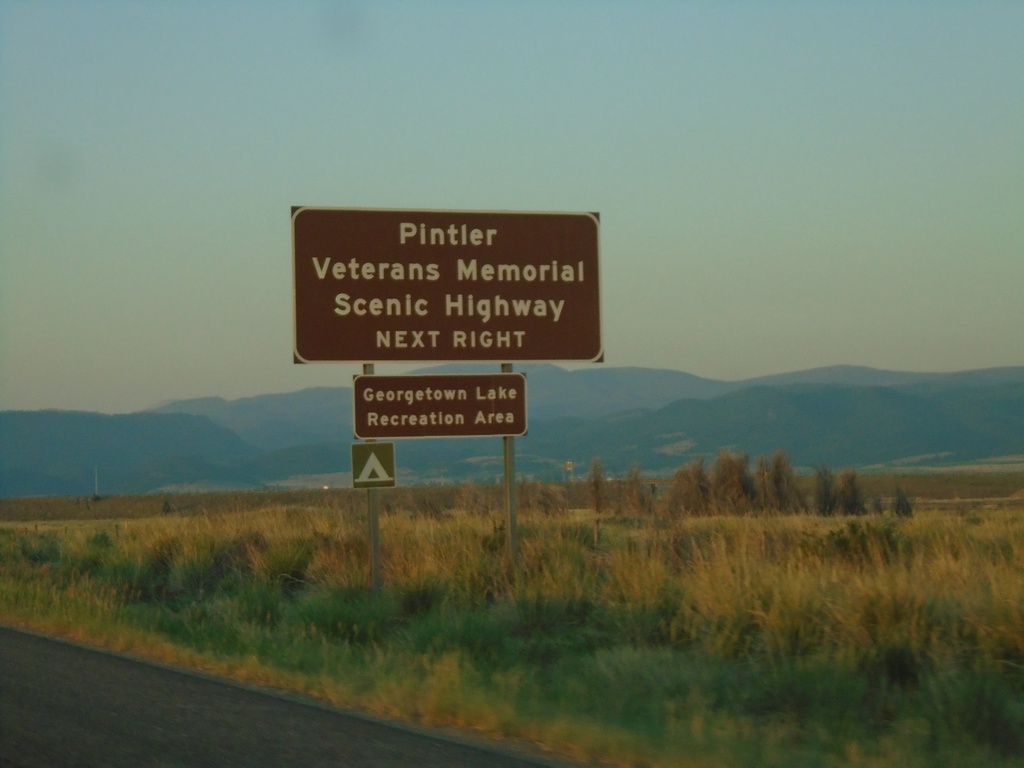
I-90 East - Exit 208
I-90 east approaching Exit 208. Use Exit 208 for the Pintler Veterans Memorial Scenic Highway and Georgetown Lake Recreation Area.
Taken 07-03-2021

 Anaconda
Deer Lodge County
Montana
United States
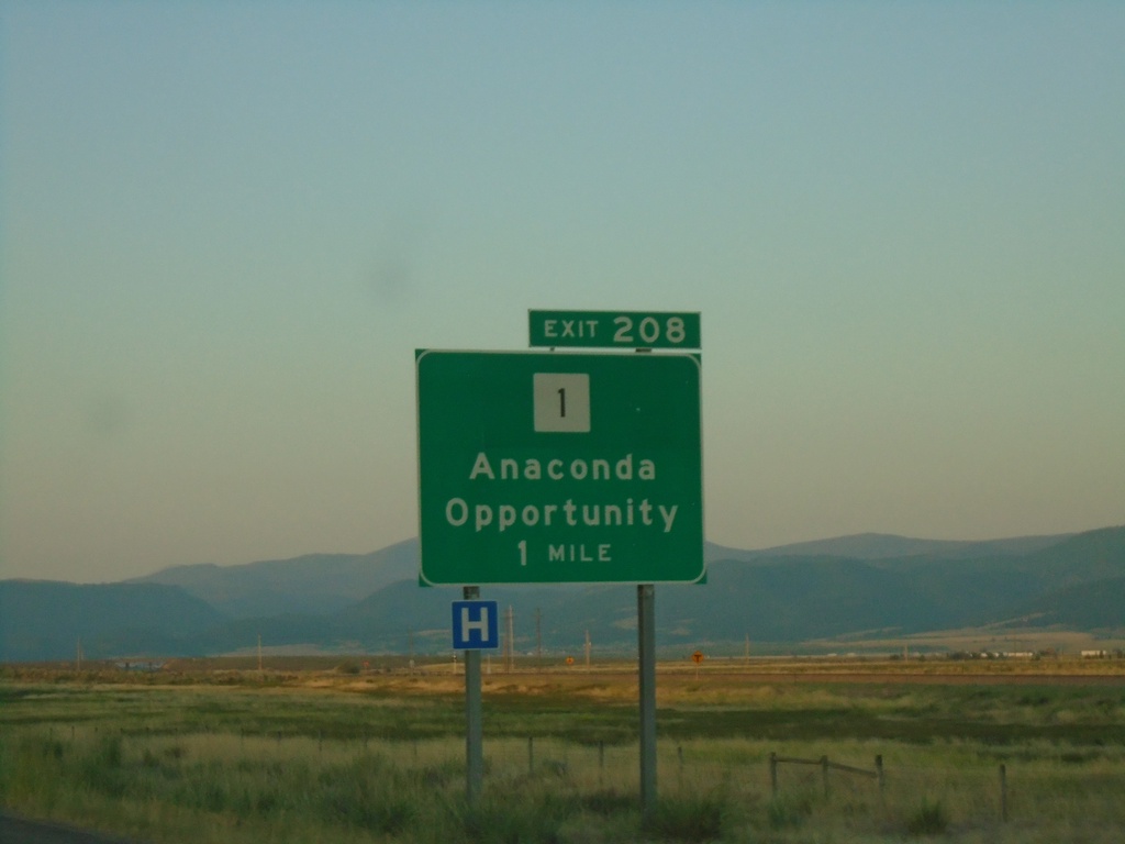
I-90 East - Exit 208
I-90 east approaching Exit 208 - MT-1/Anaconda/Opportunity.
Taken 07-03-2021

 Anaconda
Deer Lodge County
Montana
United States
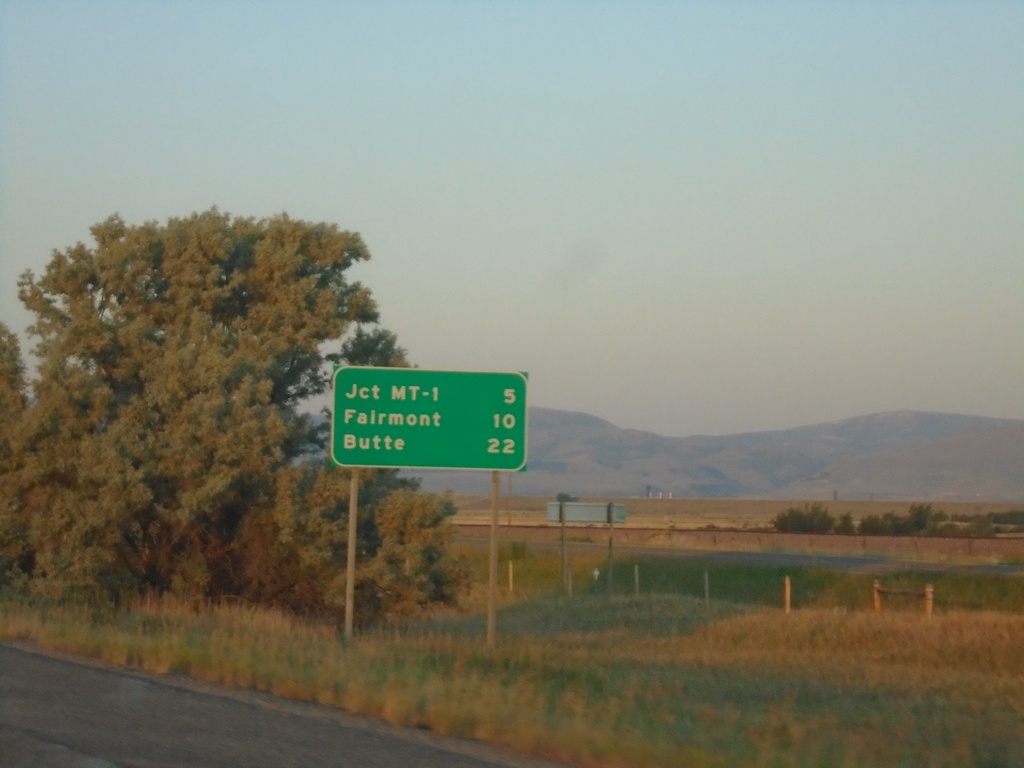
I-90 East - Distance Marker
Distance marker on I-90 East. Distance to Jct. MT-1, Fairmont, and Butte.
Taken 07-03-2021
 Anaconda
Deer Lodge County
Montana
United States
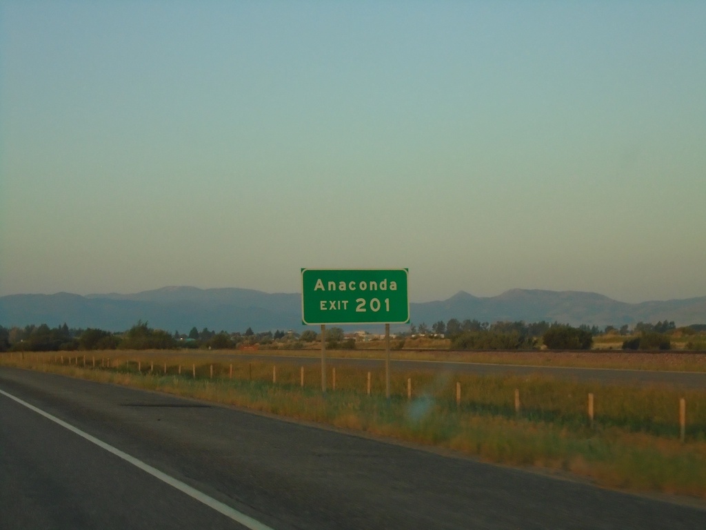
I-90 East - Exit 201
I-90 east approaching Exit 201. Use Exit 201 for Anaconda (via MT-48).
Taken 07-03-2021

 Anaconda
Deer Lodge County
Montana
United States
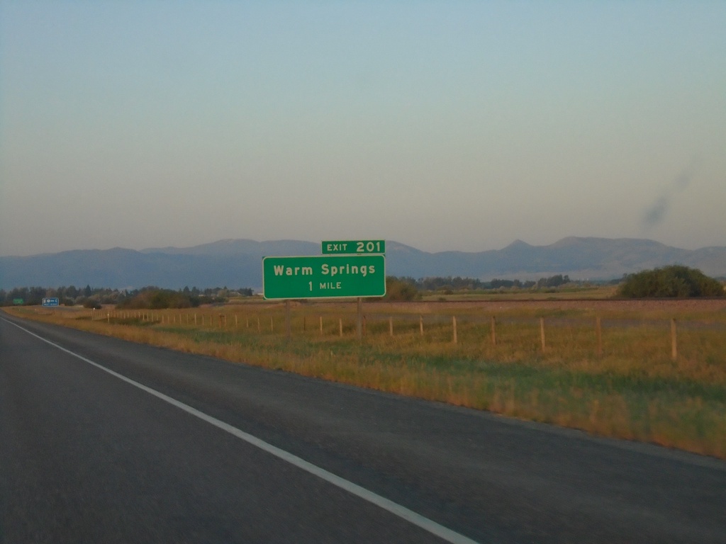
I-90 East - Exit 201
I-90 east approaching Exit 201 - Warm Springs
Taken 07-03-2021

 Anaconda
Deer Lodge County
Montana
United States
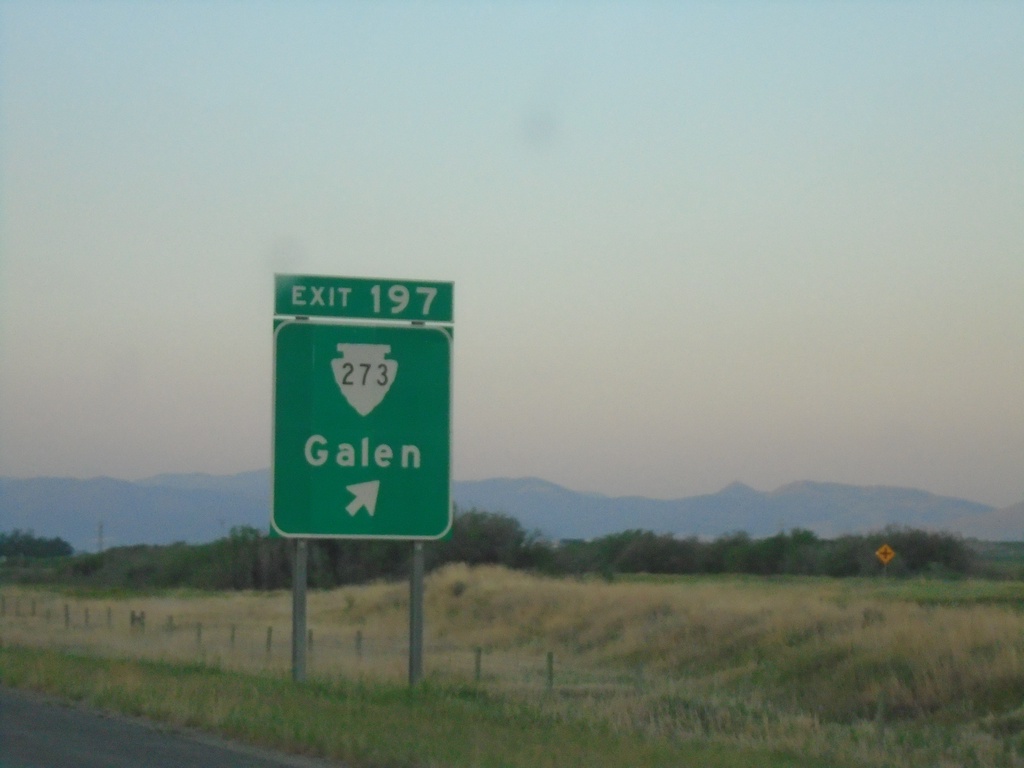
I-90 East - Exit 197
I-90 east at Exit 197 - MTS-273/Galen
Taken 07-03-2021

 Anaconda
Deer Lodge County
Montana
United States
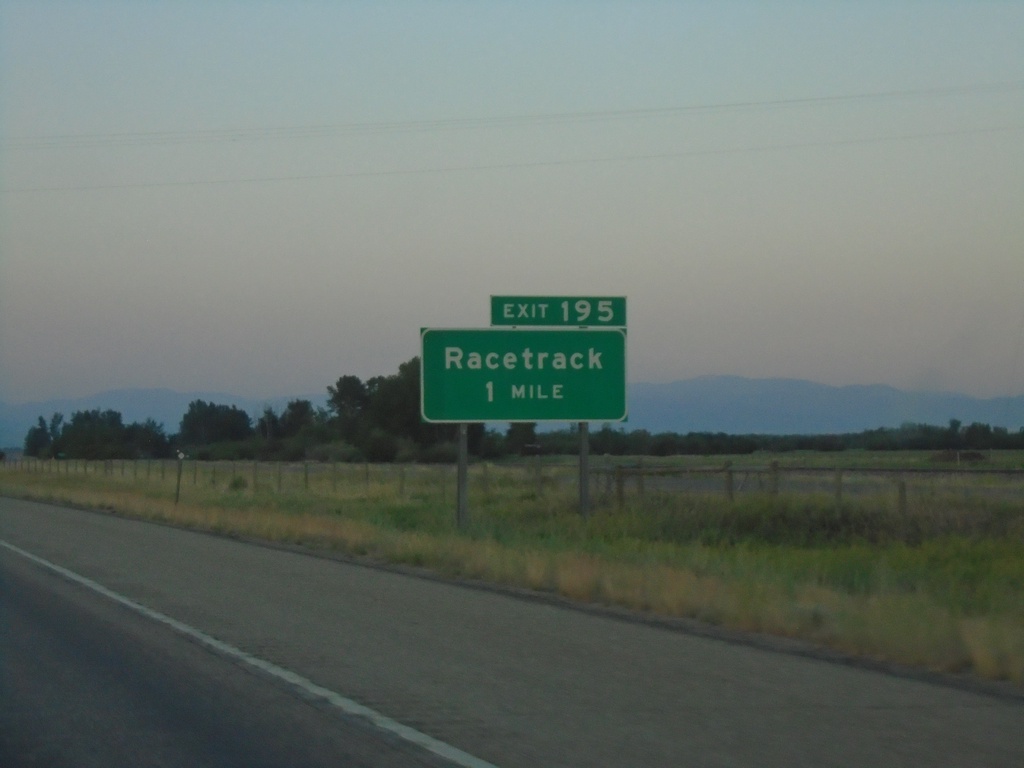
I-90 East - Exit 195
I-90 east approaching Exit 195 - Racetrack
Taken 07-03-2021
 Deer Lodge
Powell County
Montana
United States
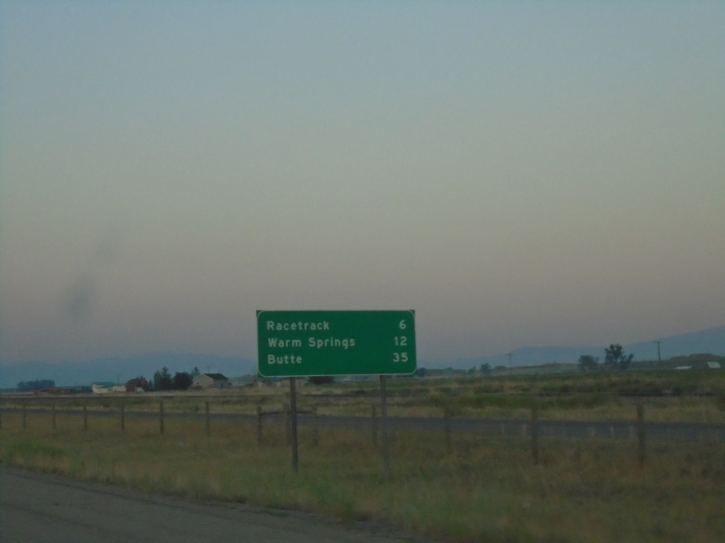
I-90 East - Distance Marker
Distance marker on I-90 east. Distance to Racetrack, Warm Springs, and Butte.
Taken 07-03-2021
 Deer Lodge
Powell County
Montana
United States
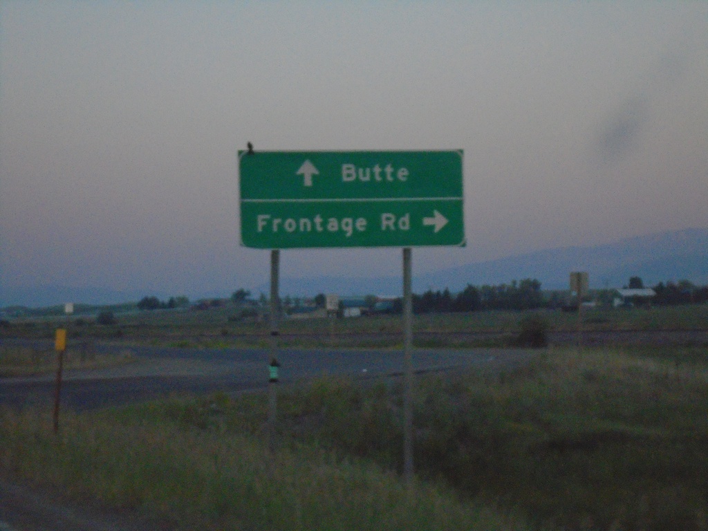
BL-90 East at Frontage Road and I-90
BL-90 East at Frontage Road and I-90. Turn right for Frontage Road. Continue straight for I-90 onramp (Exit 187) to Butte.
Taken 07-03-2021

 Prison Farm
Powell County
Montana
United States
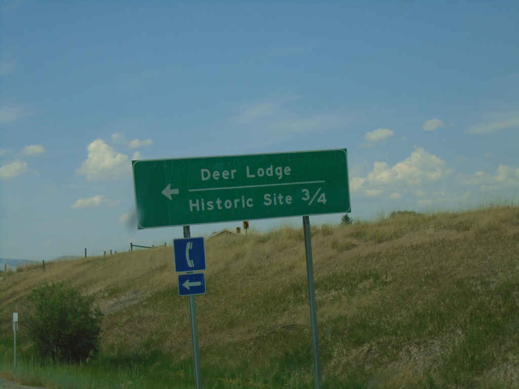
I-90 West - Exit 184 Offramp
I-90 West Exit 184 offramp at BL-90. Turn left on BL-90 for Historic Site and Deer Lodge.
Taken 07-02-2021

 Deer Lodge
Powell County
Montana
United States
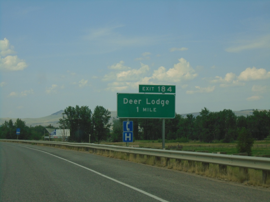
I-90 West - Exit 184
I-90 west approaching Exit 184 - Deer Lodge
Taken 07-02-2021

 Deer Lodge
Powell County
Montana
United States