Signs Tagged With Big Green Sign

I-80 East - Exit 169
I-80 east approaching Exit 169 - Echo.
Taken 04-24-2021
 Coalville
Summit County
Utah
United States
Ramp Between I-84 East and I-80 East Approaching Exit 169
Ramp between I-84 East and I-80 East approaching Exit 169 - Echo.
Taken 04-24-2021
 Echo
Summit County
Utah
United States
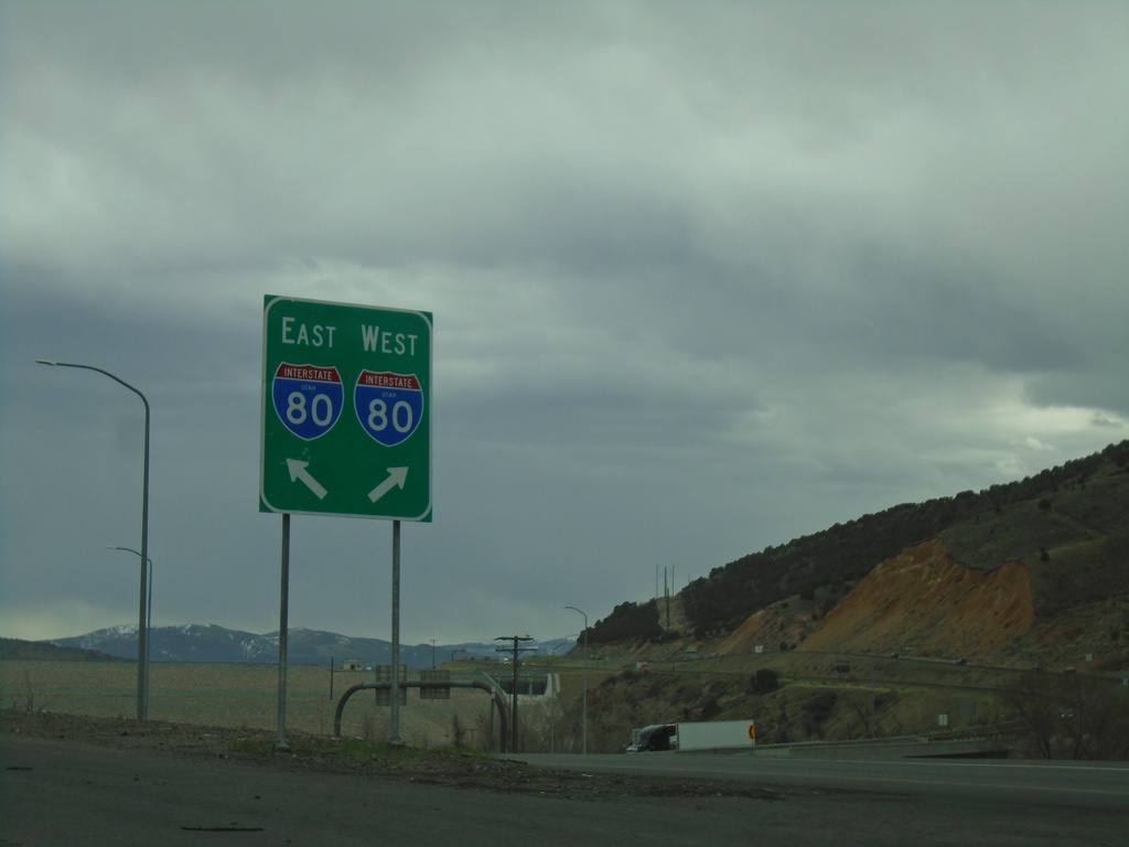
End I-84 East at I-80
End I-84 East at I-80 in Summit County. Use right lane for I-80 West; left lane for I-80 East.
Taken 04-24-2021

 Echo
Summit County
Utah
United States
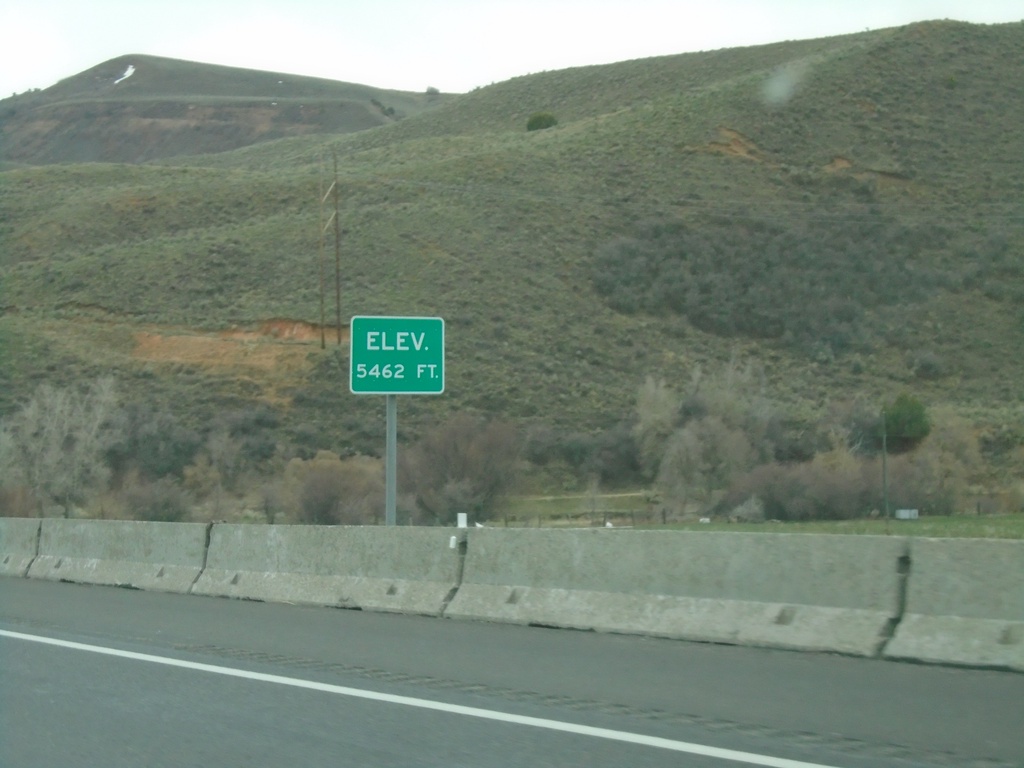
I-84 East - Elevation 5462 Feet
Elevation 5462 approaching the eastern end of I-84. There is also an elevation sign at the Idaho-Utah state line on I-84.
Taken 04-24-2021
 Echo
Summit County
Utah
United States
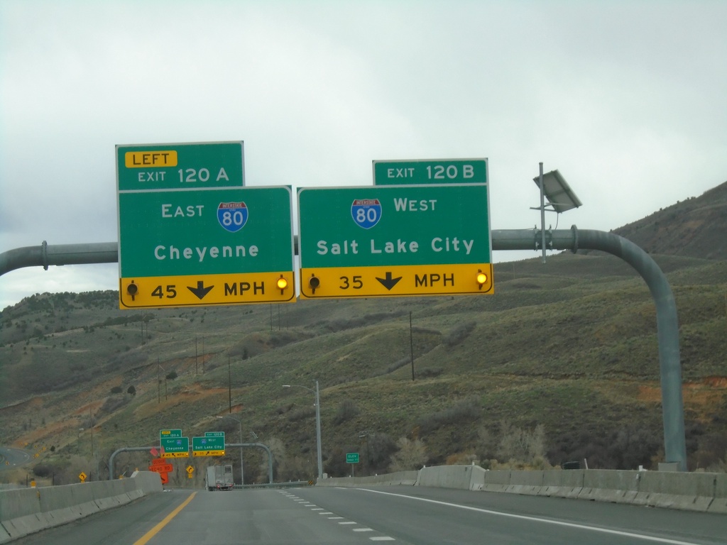
End I-84 East at I-80
End I-84 East at I-80. Exit 120A - I-80 East/Cheyenne (Wyoming); Exit 120B - I-80 West/Salt Lake City.
Taken 04-24-2021

 Coalville
Summit County
Utah
United States
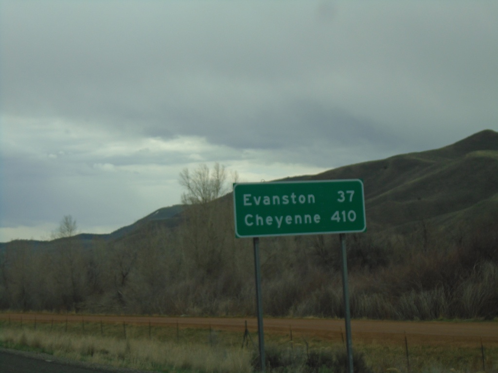
I-84 East - Distance Marker
Last distance marker on I-84 eastbound. Distance to Evanston (Wyoming) and Cheyenne (Wyoming). Both destinations via I-80 eastbound.
Taken 04-24-2021
 Henefer
Summit County
Utah
United States
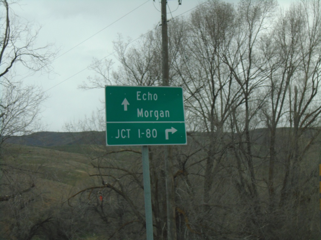
End UT-65 North at I-84 (Exit 115)
End UT-65 North at I-84 (Exit 115) in Henefer. Use I-84 East to I-80 junction (next exit). Continue over freeway for Echo (via County Road) and Morgan (via I-84 West).
Taken 04-24-2021


 Henefer
Summit County
Utah
United States
UT-66 South - Winter Closure on UT-65
UT-65 closed to southbound traffic 16 miles ahead. Taken on UT-66 leaving Morgan. A portion of UT-65 between UT-66 and I-80 is closed during the winter months.
Taken 04-24-2021

 Morgan
 County
Utah
United States
Morgan
Morgan County
Utah
United States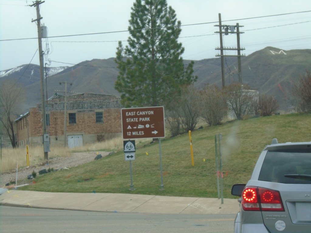
I-84 East - Exit 103 Offramp at UT-66
I-84 East - Exit 103 offramp at UT-66 in Morgan. Turn right on UT-66 for East Canyon State Park.
Taken 04-24-2021

 Morgan
 County
Utah
United States
Morgan
Morgan County
Utah
United States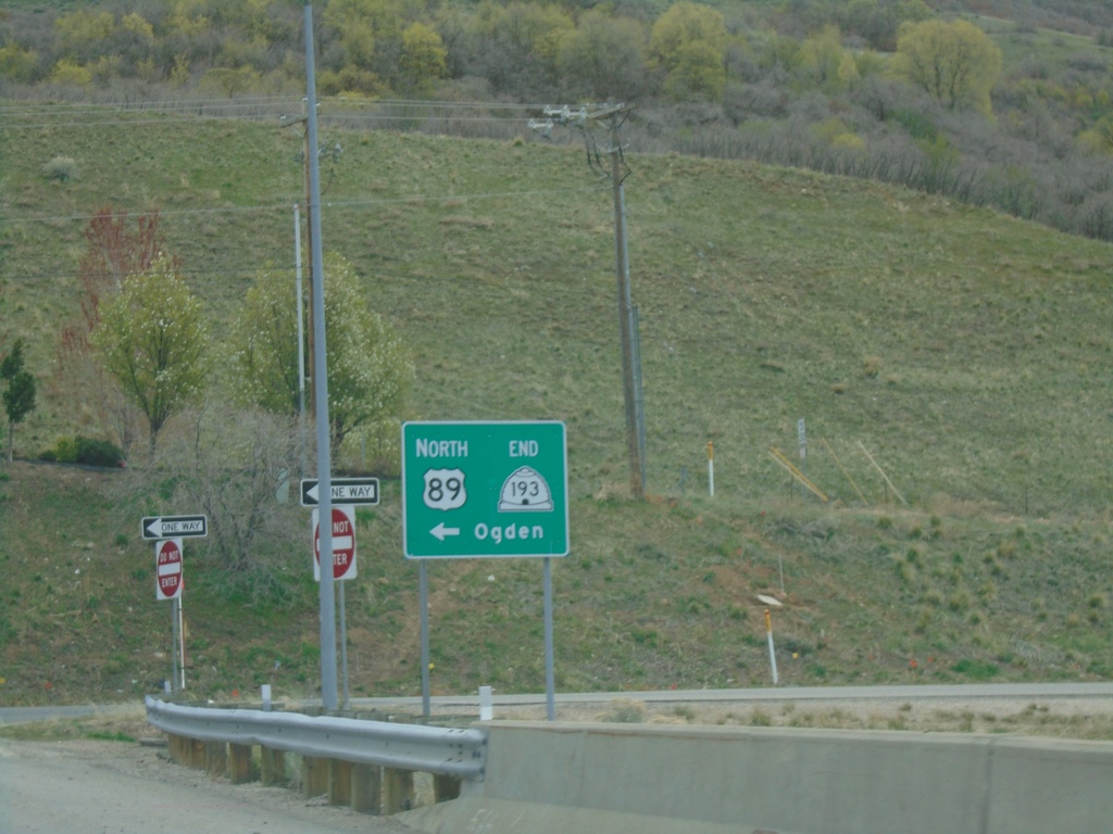
End UT-193 East at US-89 North
End UT-193 East at US-89 North. Use US-89 north to Ogden.
Taken 04-24-2021

 Layton
Davis County
Utah
United States
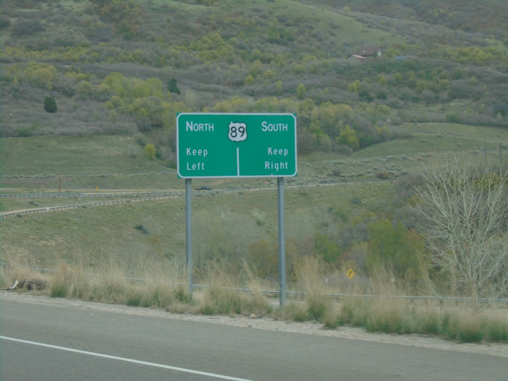
UT-193 East Approaching US-89
UT-193 East approaching US-89 (Exit 404) in Layton. UT-193 ends here.
Taken 04-24-2021

 Layton
Davis County
Utah
United States
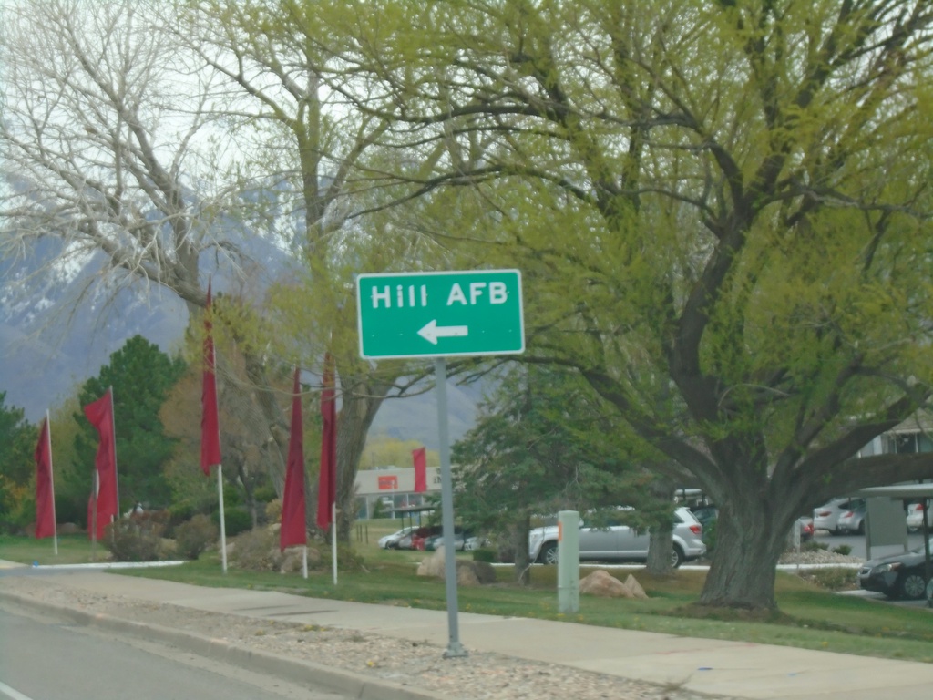
UT-193 East Approaching UT-232 (Hill Field Road)
UT-193 East approaching UT-232 (Hill Field Road). Turn left for Hill AFB south gate.
Taken 04-24-2021

 Layton
Davis County
Utah
United States
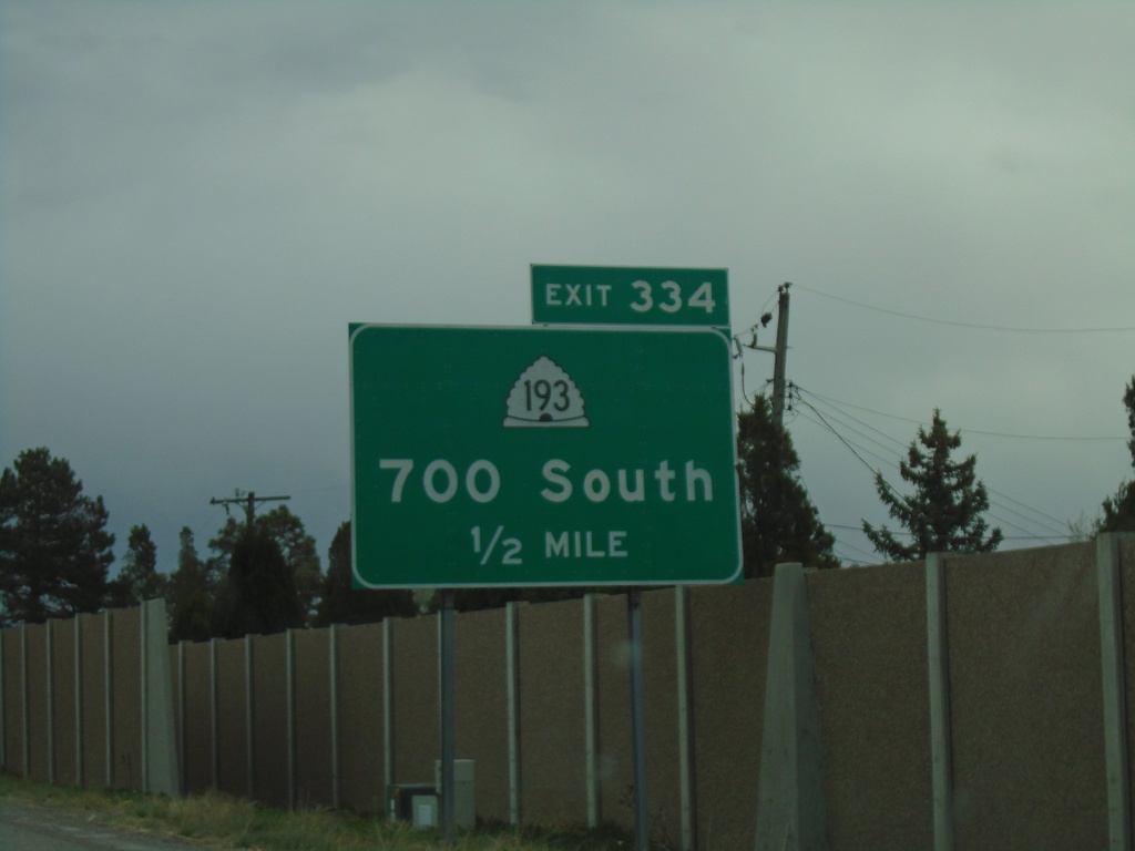
I-15 South - Exit 334
I-15 south approaching Exit 334 - UT-193/700 South.
Taken 04-24-2021

 Clearfield
Davis County
Utah
United States
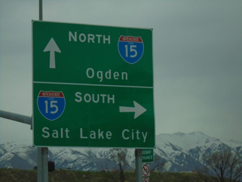
UT-103 East at I-15
UT-103 East (E 650 N) at I-15 junction (Exit 335). Turn right for I-15 South to Salt Lake City; continue under freeway for I-15 North to Ogden.
Taken 04-24-2021

 Clearfield
Davis County
Utah
United States
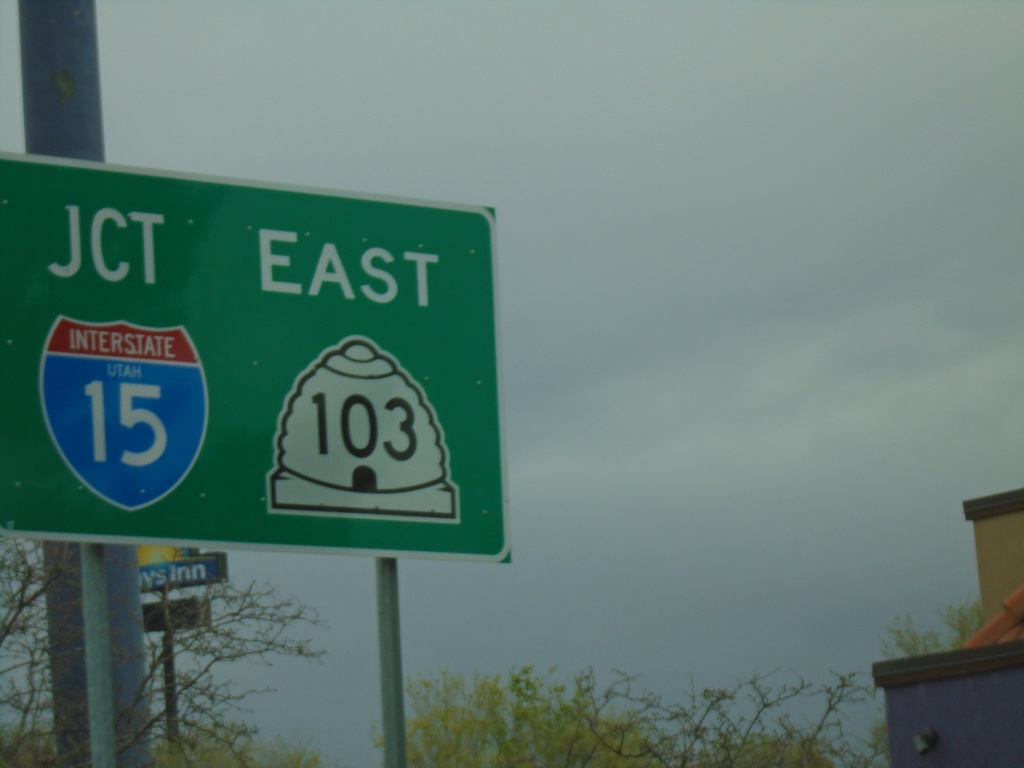
UT-126 North at UT-103 (To I-15)
UT-126 North (State St.) at UT-103 (E 650 N) in Clearfield. Turn right on UT-103 East for access to I-15 at Exit 335.
Taken 04-24-2021


 Clearfield
Davis County
Utah
United States
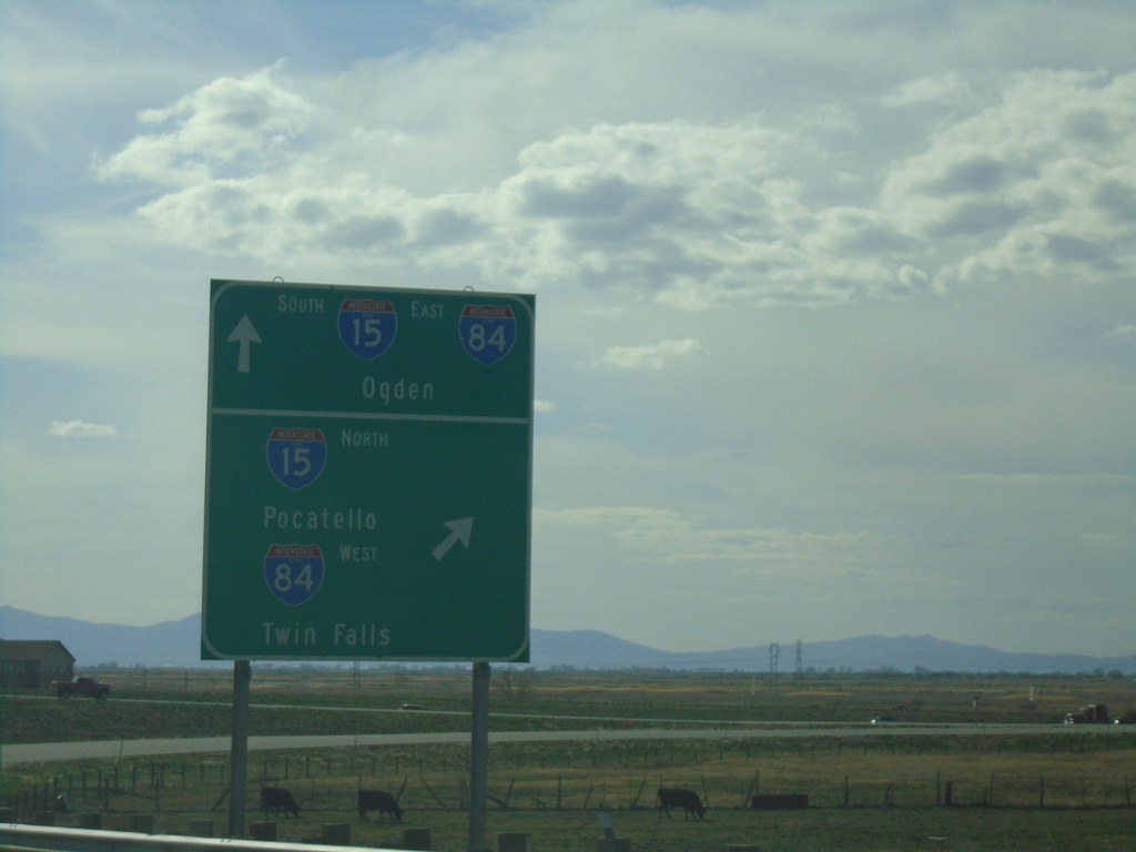
End US-91 South at I-15/I-84
US-91 south at I-15 North/Pocatello (Idaho)/I-84 West/Twin Falls (Idaho). Use I-15 South/I-84 East for Ogden. US-91 south ends here.
Taken 04-23-2021


 Brigham City
Box Elder County
Utah
United States
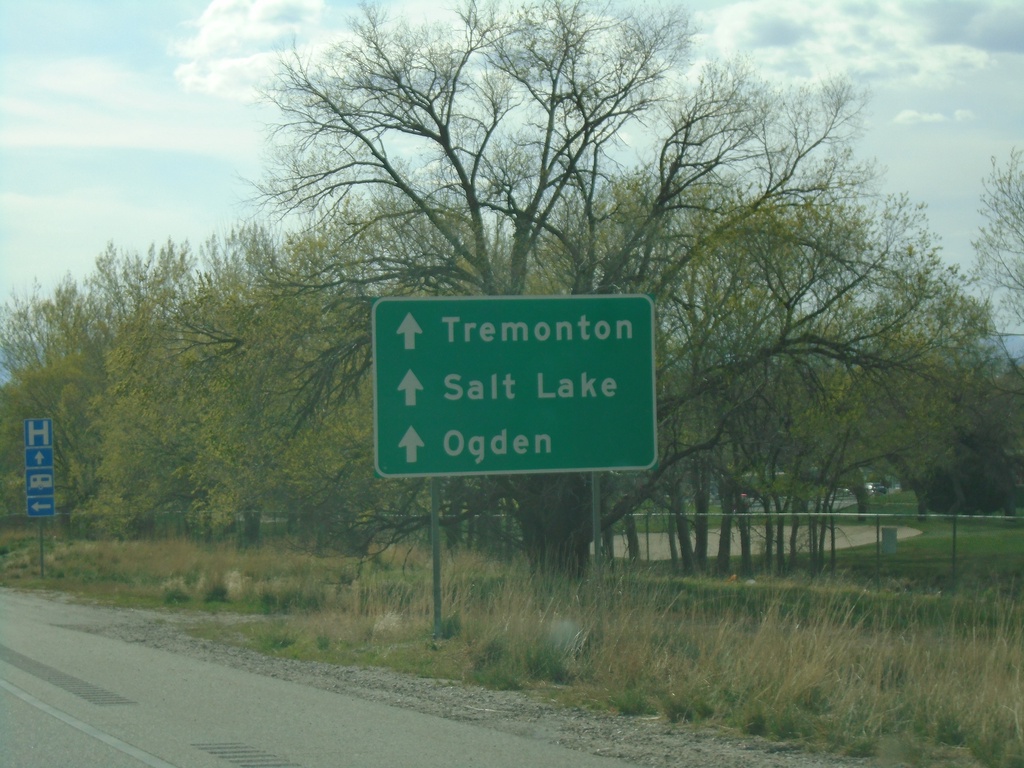
US-89/US-91 South Approaching BL-15/UT-13
US-89/US-91 South Approaching BL-15/UT-13 (Main St.) in Brigham City. Continue on US-91 South for Salt Lake/Tremonton/Ogden.
Taken 04-23-2021


 Brigham City
Box Elder County
Utah
United States
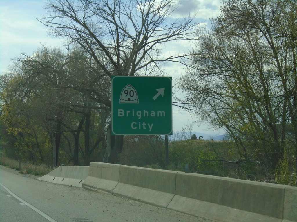
US-89/US-91 South at UT-90 Exit
US-89/US-91 South at UT-90/Brigham City exit.
Taken 04-23-2021


 Brigham City
Box Elder County
Utah
United States
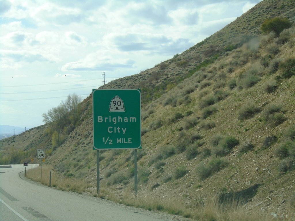
US-89/US-91 South Approaching UT-90
US-89/US-91 South approaching UT-90/Brigham City.
Taken 04-23-2021


 Brigham City
Box Elder County
Utah
United States
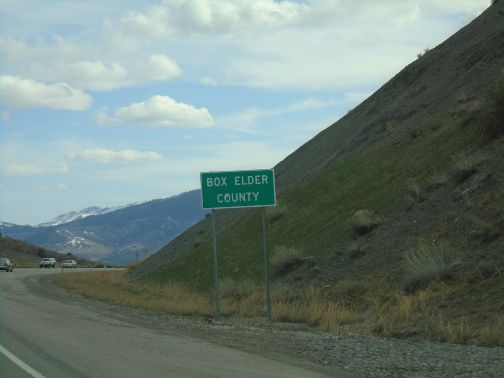
US-89/US-91 South - Box Elder County
Entering Box Elder County on US-89/US-91 South.
Taken 04-23-2021

 Mantua
Box Elder County
Utah
United States
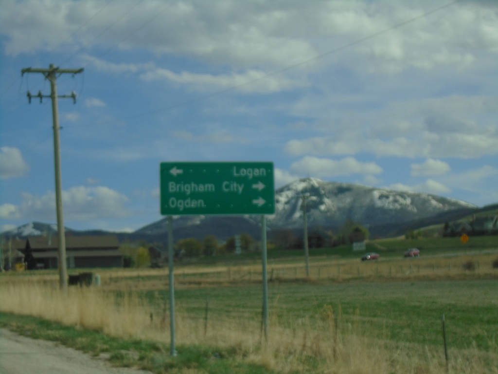
End UT-23 South at US-89/US-91
End UT-23 South at US-89/US-91 in Wellsville. Turn left for US-89/US-91 North to Logan; right for US-89/US-91 South to Brigham City and Ogden.
Taken 04-23-2021


 Wellsville
Cache County
Utah
United States
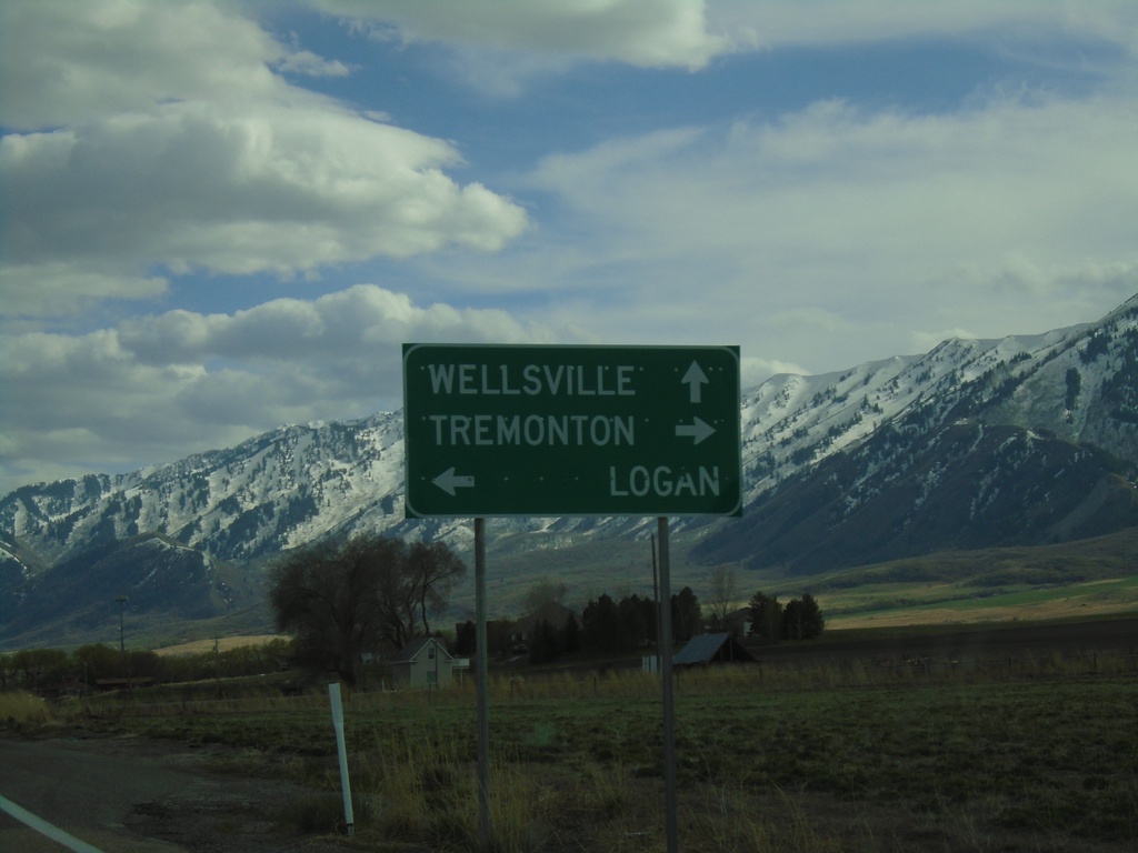
UT-23 South Approaching UT-30
UT-23 South approaching UT-30 in Cache County. Use UT-30 west for Tremonton; UT-30 east for Logan and UT-23 south for Wellsville.
Taken 04-23-2021

 Mendon
Cache County
Utah
United States
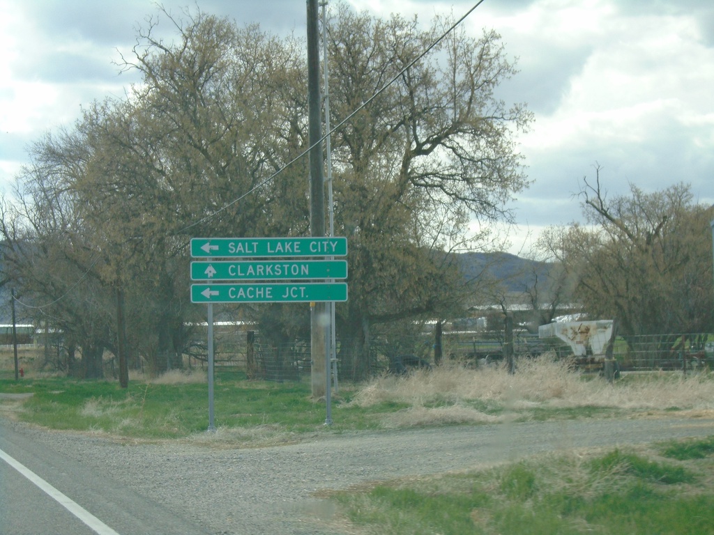
UT-23 South Approaching UT-142
UT-23 South approaching UT-142 west to Clarkston. Turn left to continue south on UT-23 for Cache Junction and Salt Lake City.
Taken 04-23-2021

 Newton
Cache County
Utah
United States
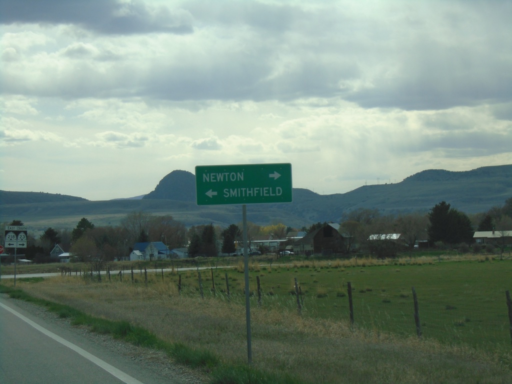
UT-23 South Approaching UT-218
UT-23 South approaching UT-218. Turn left for UT-218 East to Smithfield; right to continue on UT-23 south to Newton.
Taken 04-23-2021

 Newton
Cache County
Utah
United States
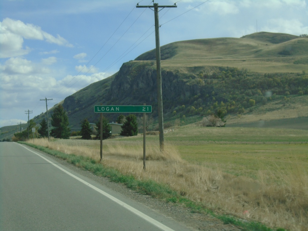
UT-23 South - Distance Marker
Distance marker on UT-23 south. Distance to Logan.
Taken 04-23-2021
 Trenton
Cache County
Utah
United States