Signs Tagged With County Boundary
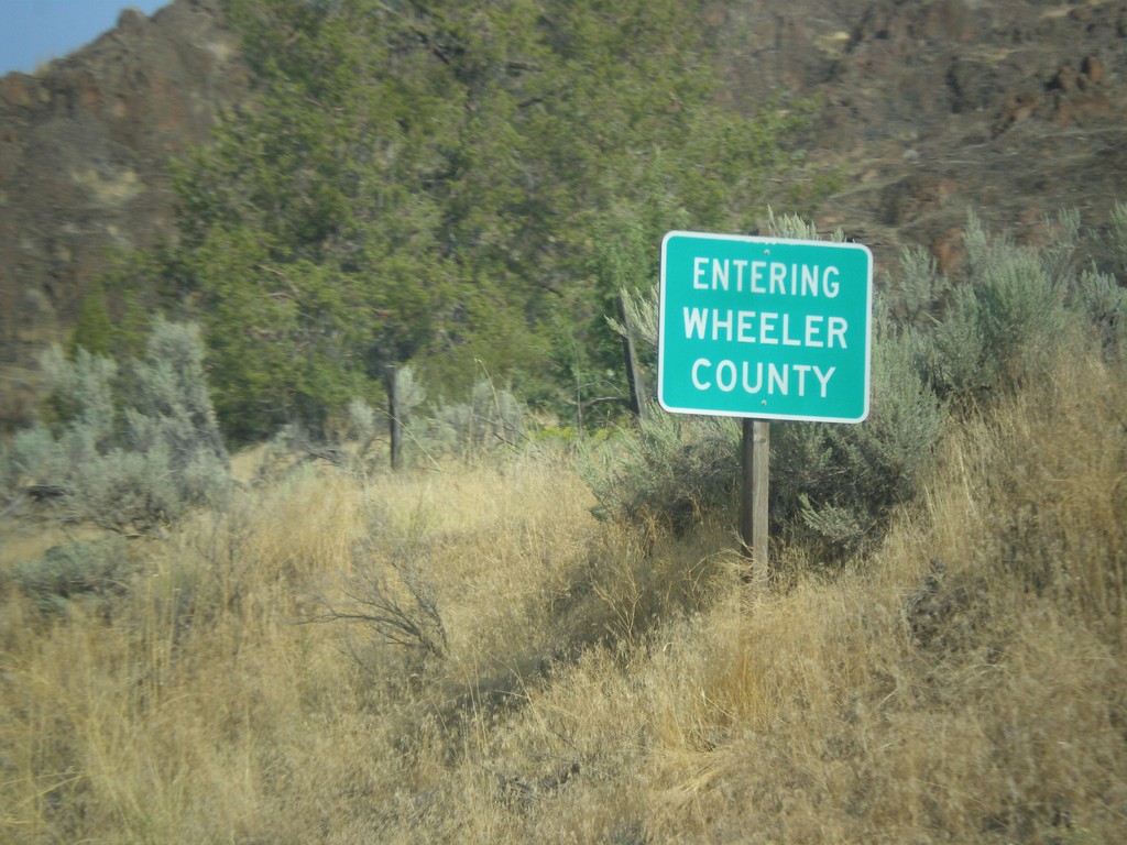
OR-19 North - Wheeler County
Entering Wheeler County on OR-19 north.
Taken 09-09-2017
 Mitchell
Wheeler County
Oregon
United States
Mitchell
Wheeler County
Oregon
United States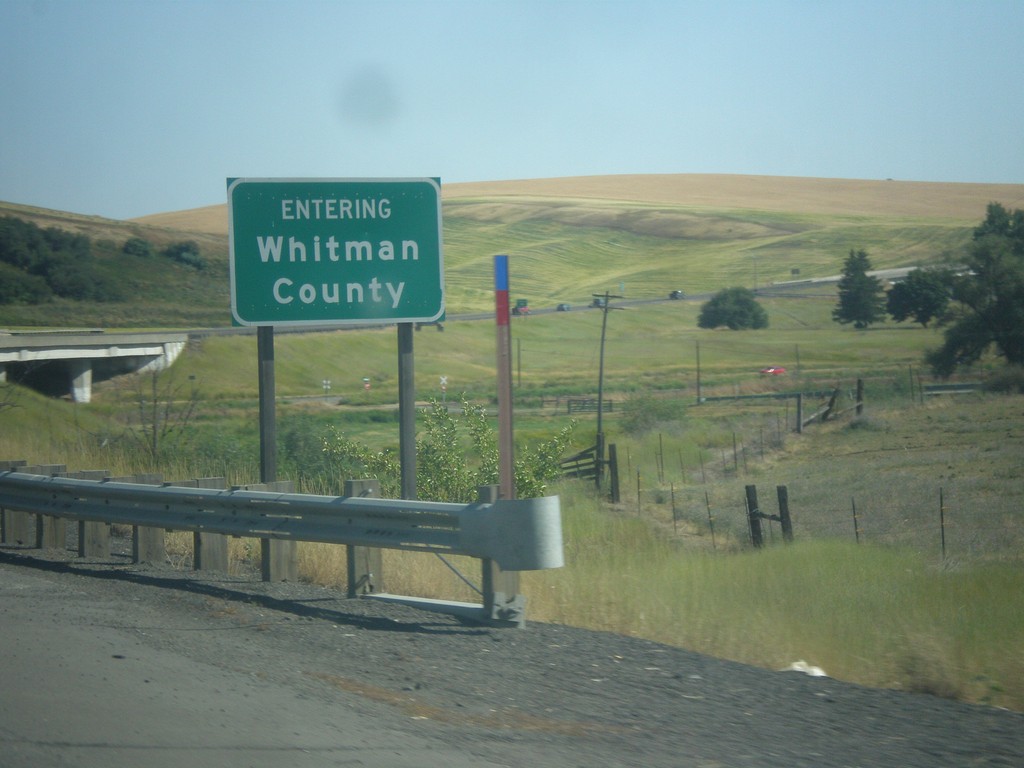
US-195 South - Whitman County
Entering Whitman County on US-195 South.
Taken 07-29-2017
 Rosalia
Whitman County
Washington
United States
Rosalia
Whitman County
Washington
United States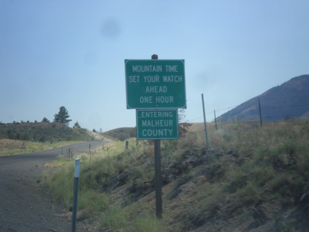
US-26 East - Malheur County / Mountain Time
Entering Malheur County / Mountain Time Zone on US-26 east. Most of Oregon is in Pacific Time, except for the northern half of Malheur County and some communities in Hells Canyon.
Taken 07-15-2017
 Ironside
Malheur County
Oregon
United States
Ironside
Malheur County
Oregon
United States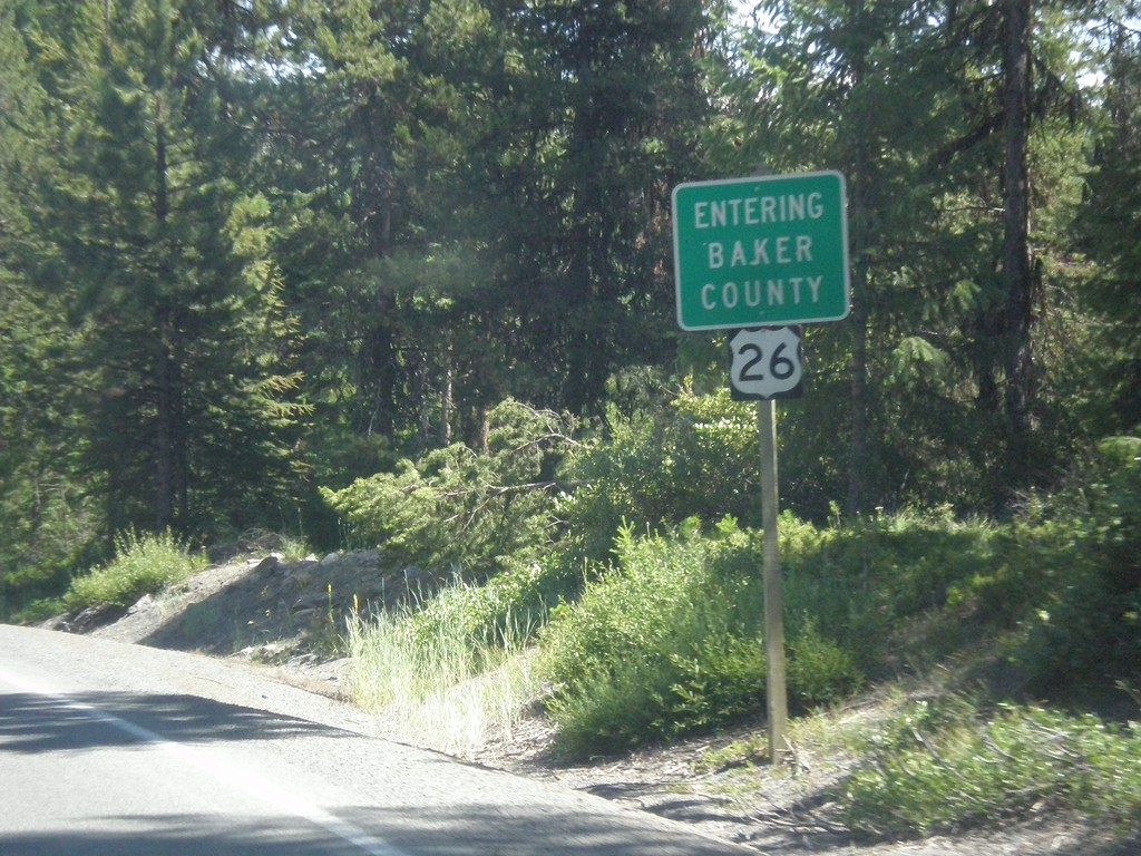
US-26 East - Entering Baker County
Entering Baker County on US-26 East at the summit of the Blue Mountains.
Taken 07-15-2017
Unity
Baker County
Oregon
United States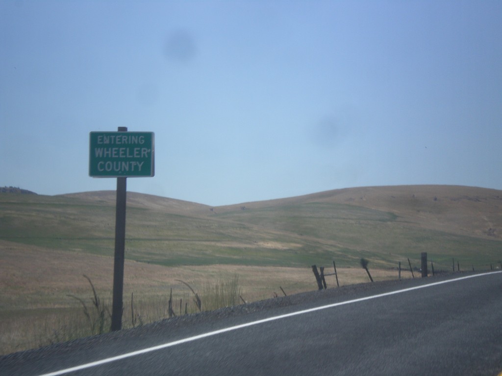
OR-19 South - Wheeler County
Entering Wheeler County on OR-205 south. Wheeler County is the least populous county in Oregon.
Taken 07-15-2017
Fossil
Wheeler County
Oregon
United States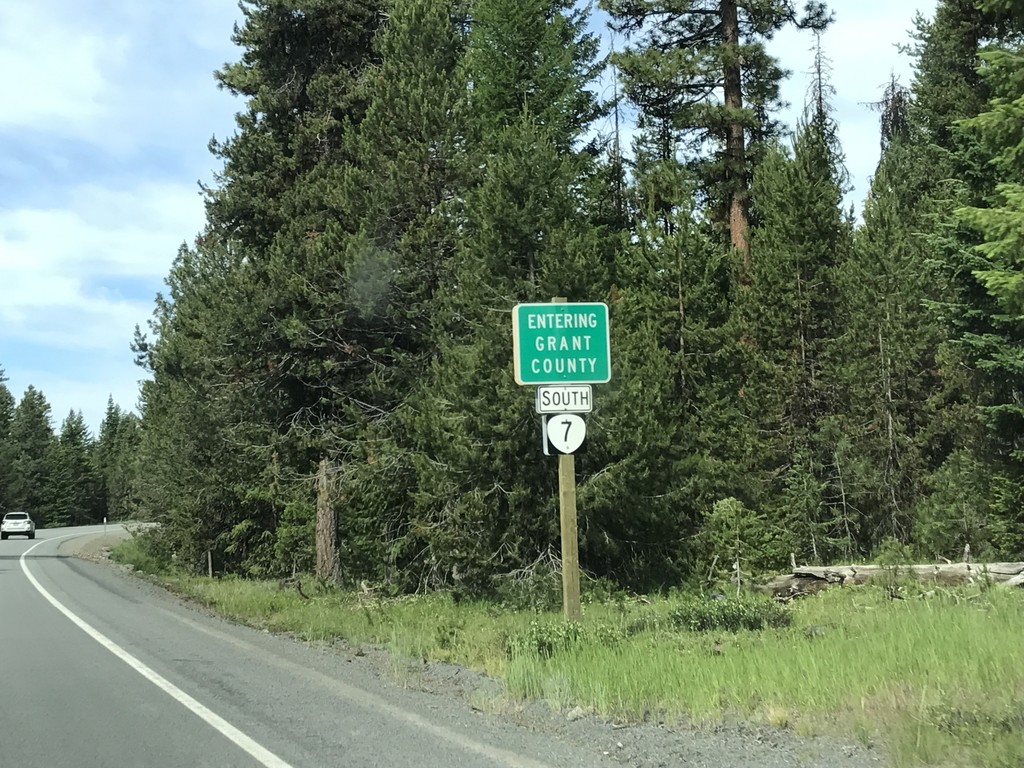
OR-7 West - Grant County
Entering Grant County on OR-7 west.
Taken 07-04-2017
 Sumpter
Grant County
Oregon
United States
Sumpter
Grant County
Oregon
United States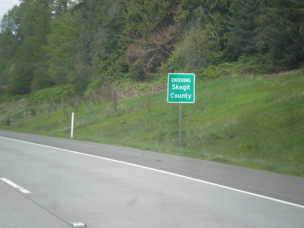
I-5 North - Skagit County
I-5 North - Entering Skagit County.
Taken 04-28-2017
 Mount Vernon
Skagit County
Washington
United States
Mount Vernon
Skagit County
Washington
United States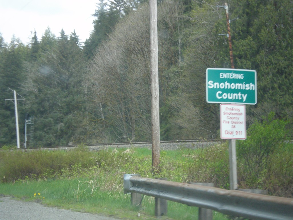
US-2 West - Snohomish County
Entering Snohomish County on US-2 west.
Taken 04-28-2017
 Gold Bar
Snohomish County
Washington
United States
Gold Bar
Snohomish County
Washington
United States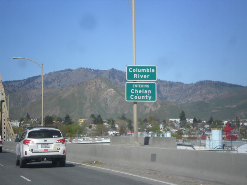
WA-285 North - Chelan County
Entering Chelan County on the Columbia River bridge on WA-285 north. Also entering Wenatchee, the county seat of Chelan County.
Taken 04-28-2017
 Wenatchee
Chelan County
Washington
United States
Wenatchee
Chelan County
Washington
United States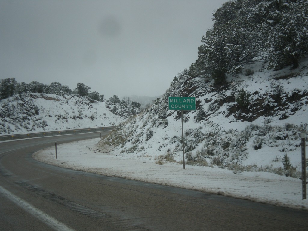
I-70 West - Millard County
Entering Millard County on I-70 west.
Taken 03-31-2017
 Kanosh
Millard County
Utah
United States
Kanosh
Millard County
Utah
United States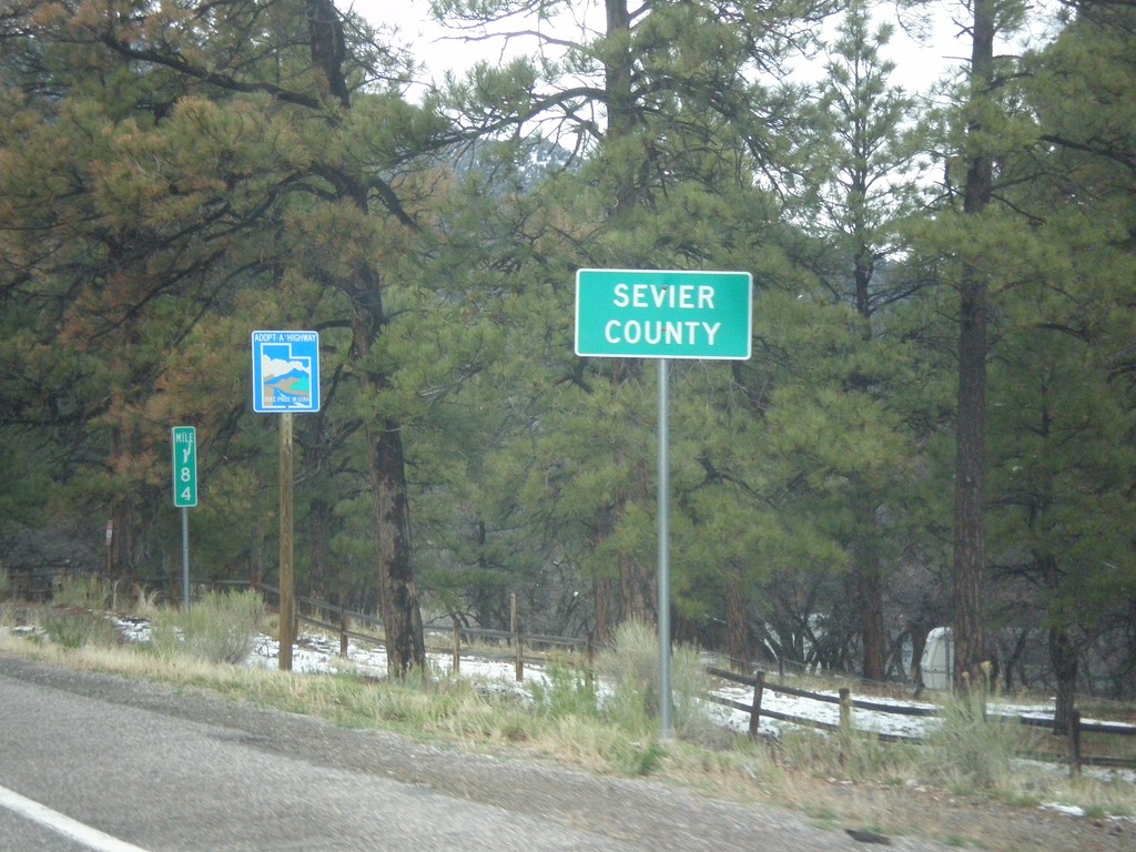
US-89 North - Sevier County
Entering Sevier County on US-89 north.
Taken 03-31-2017
 Sevier
 County
Utah
United States
Sevier
Sevier County
Utah
United States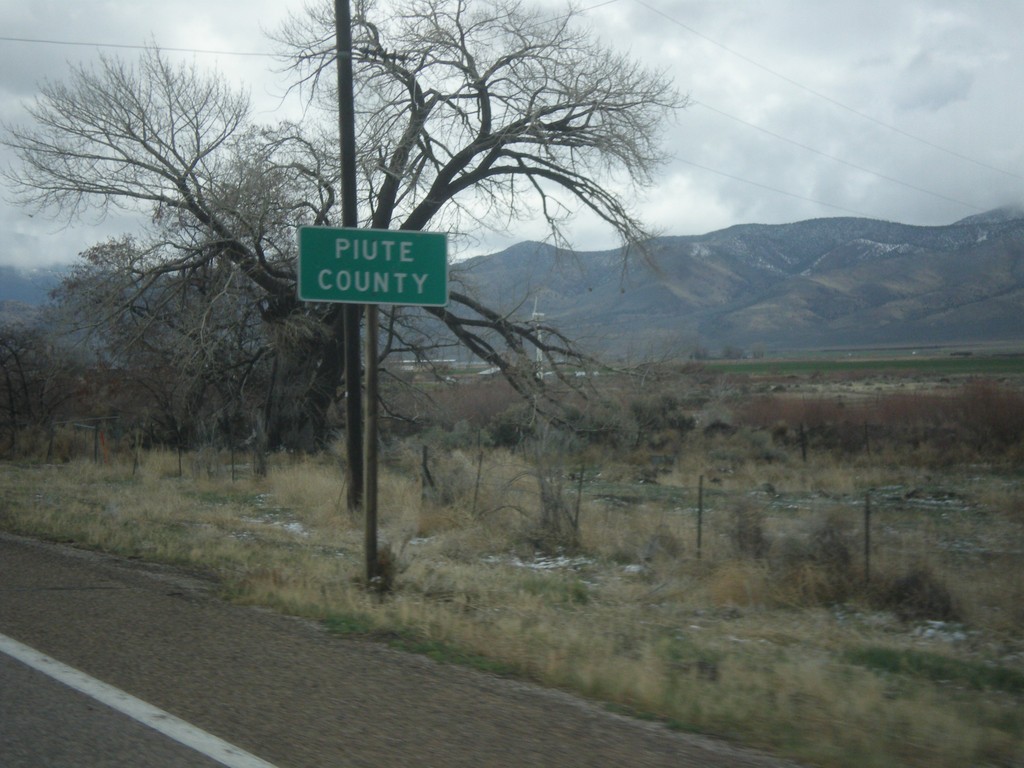
US-89 North - Paiute County
Entering Paiute County on US-89 north. Paiute County is the second least populated county in Utah, behind Daggett County.
Taken 03-31-2017
Circleville
Piute County
Utah
United States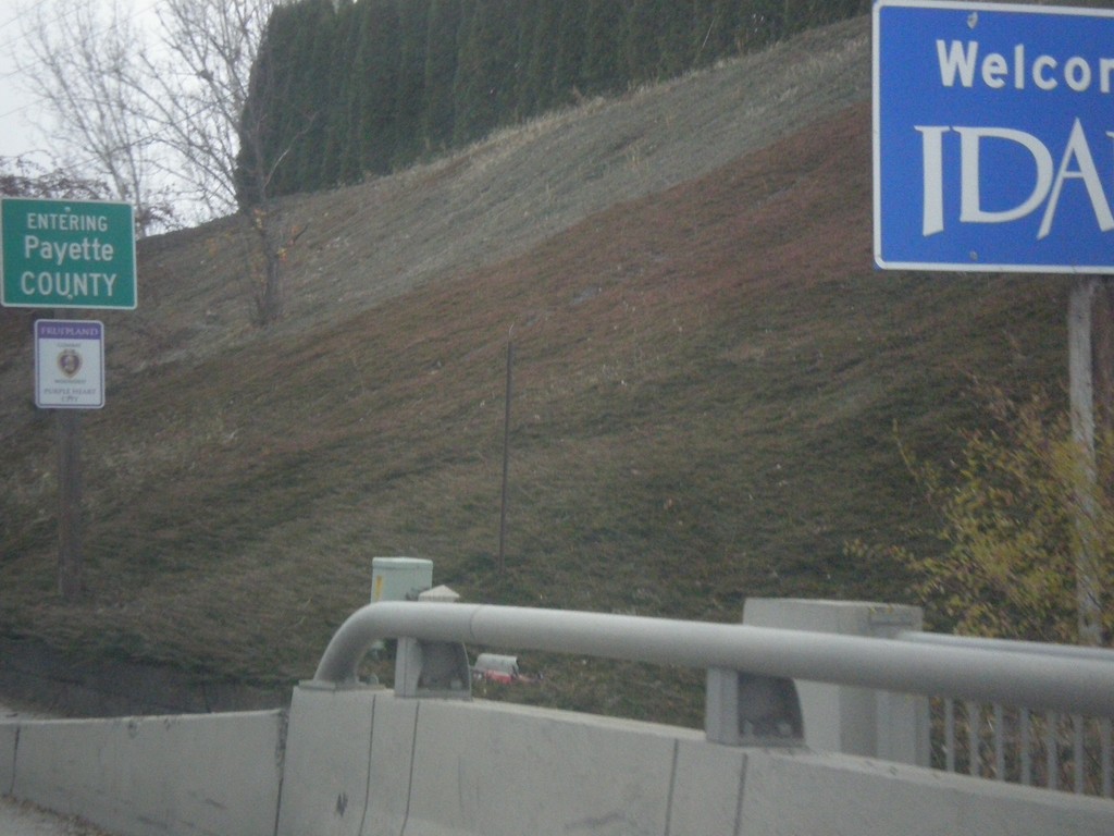
US-30 East - Entering Idaho
Welcome To Idaho on US-30 East. Entering Payette County.
Taken 11-19-2016
 Fruitland
Payette County
Idaho
United States
Fruitland
Payette County
Idaho
United States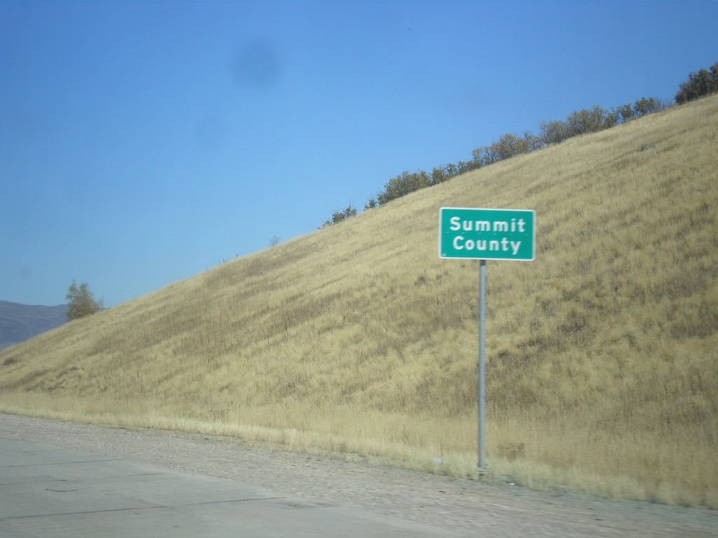
US-40 West - Summit County
Entering Summit County on US-40 west.
Taken 10-09-2016
 Park City
Summit County
Utah
United States
Park City
Summit County
Utah
United States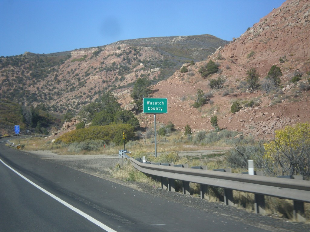
US-40 West - Entering Wasatch County
Wasatch County on US-40 west.
Taken 10-09-2016
Fruitland
Wasatch County
Utah
United States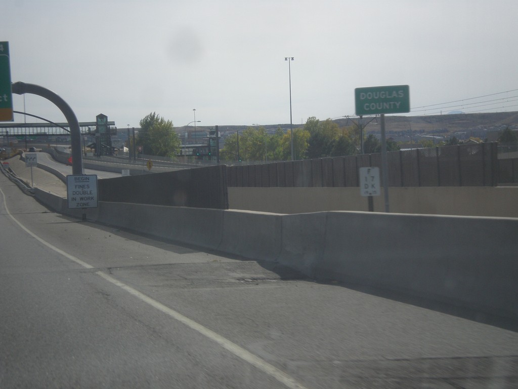
I-25 South - Douglas County
Entering Douglas County on I-25 south.
Taken 10-08-2016

 Lone Tree
Douglas County
Colorado
United States
Lone Tree
Douglas County
Colorado
United States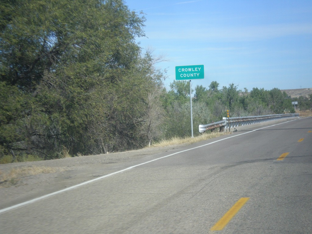
CO-167 North - Crowley County
Entering Crowley County on CO-167 north at the Arkansas River bridge.
Taken 10-08-2016
 Fowler
Crowley County
Colorado
United States
Fowler
Crowley County
Colorado
United States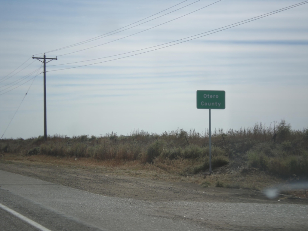
US-50 East - Otero County
Entering Otero County on US-50 east.
Taken 10-08-2016
 Fowler
Pueblo County
Colorado
United States
Fowler
Pueblo County
Colorado
United States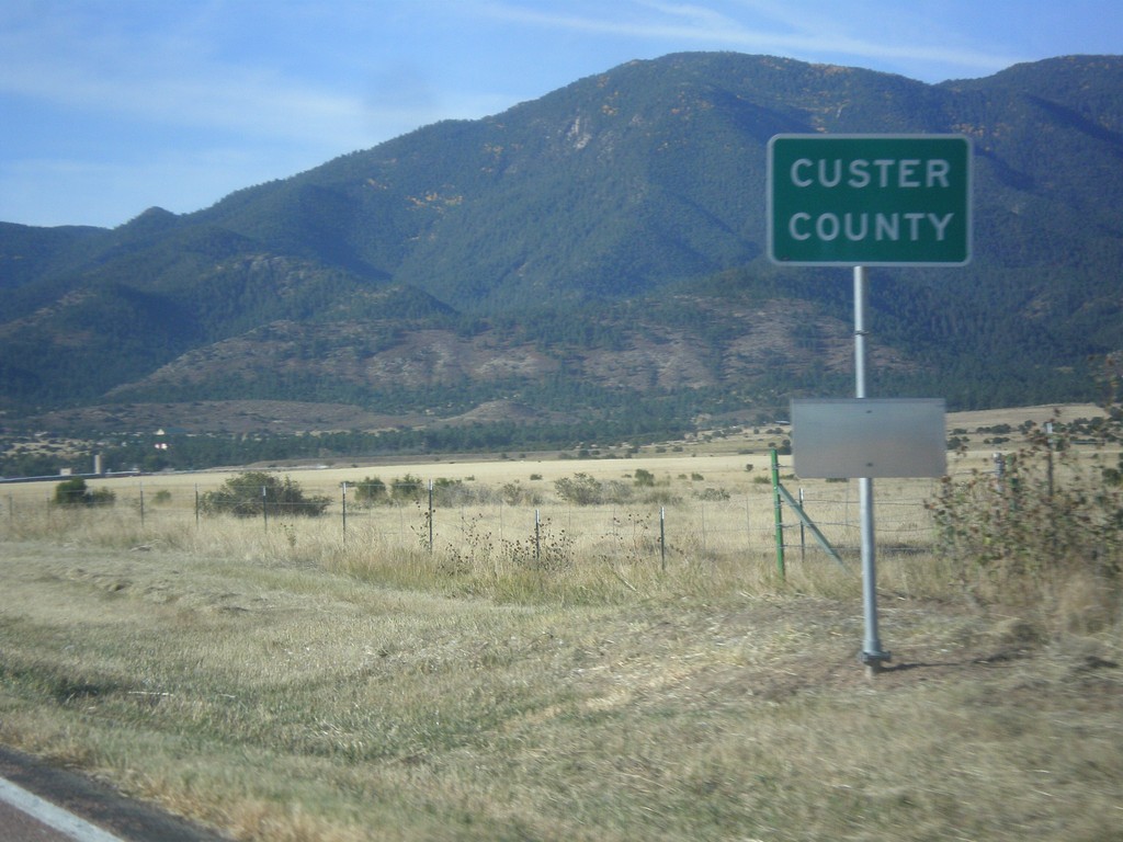
CO-67 South - Custer County
Entering Custer County on CO-67 south.
Taken 10-08-2016
 Wetmore
Custer County
Colorado
United States
Wetmore
Custer County
Colorado
United States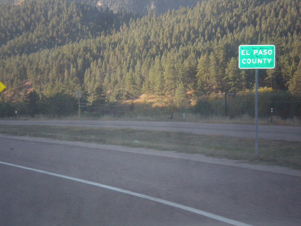
US-24 East - El Paso County
Entering El Paso County on US-24 east.
Taken 10-08-2016
 Woodland Park
El Paso County
Colorado
United States
Woodland Park
El Paso County
Colorado
United States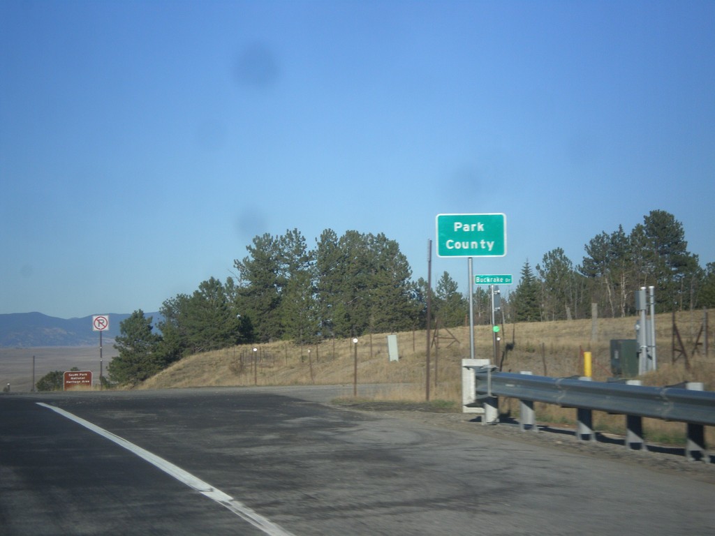
US-24 East/US-285 North - Park County
Entering Park County on US-24 East/US-285 North at Trout Creek Pass - 9,487 Feet.
Taken 10-07-2016
 Hartsel
Park County
Colorado
United States
Hartsel
Park County
Colorado
United States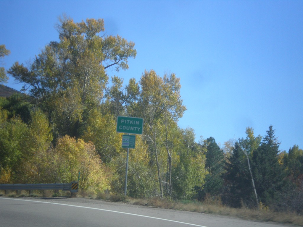
CO-82 East - Pitkin County
Entering Pitkin County on CO-82 east.
Taken 10-07-2016
 Basalt
Pitkin County
Colorado
United States
Basalt
Pitkin County
Colorado
United States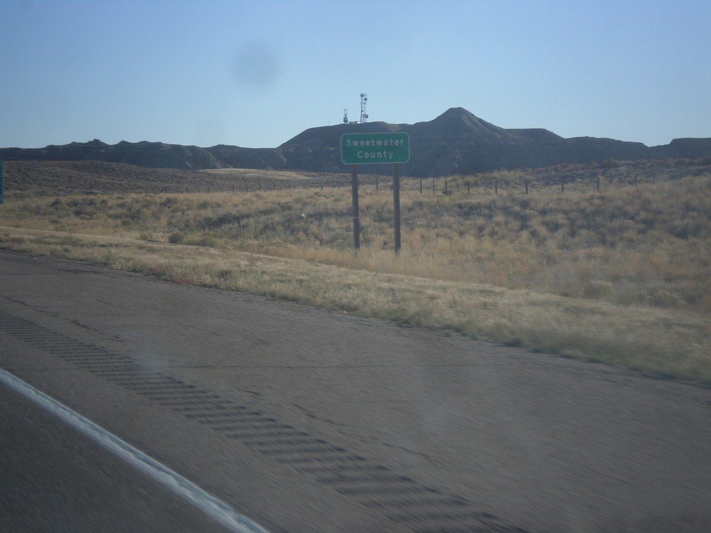
I-80 East - Sweetwater County
Entering Sweetwater County on I-80 east.
Taken 10-07-2016
 Sweetwater County
Wyoming
United States
Sweetwater County
Wyoming
United States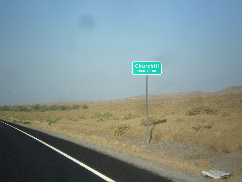
US-50 East - Churchill County Line
Churchill County Line on US-50 east.
Taken 08-15-2016
Fallon
Churchill County
Nevada
United States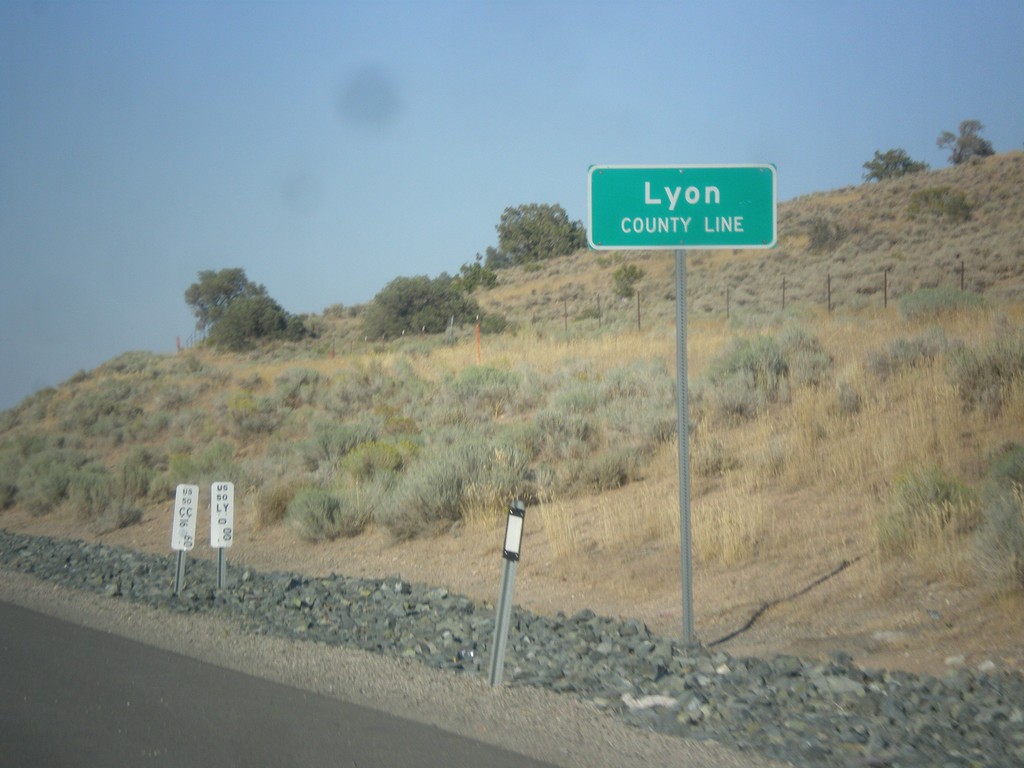
US-50 East - Lyon County
Lyon County Line on US-50 east.
Taken 08-15-2016
Mound House
Lyon County
Nevada
United States