Signs Tagged With County Boundary
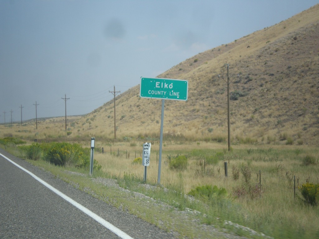
NV-278 North - Elko County Line
Elko County Line on NV-278 north.
Taken 08-31-2014
 Carlin
Elko County
Nevada
United States
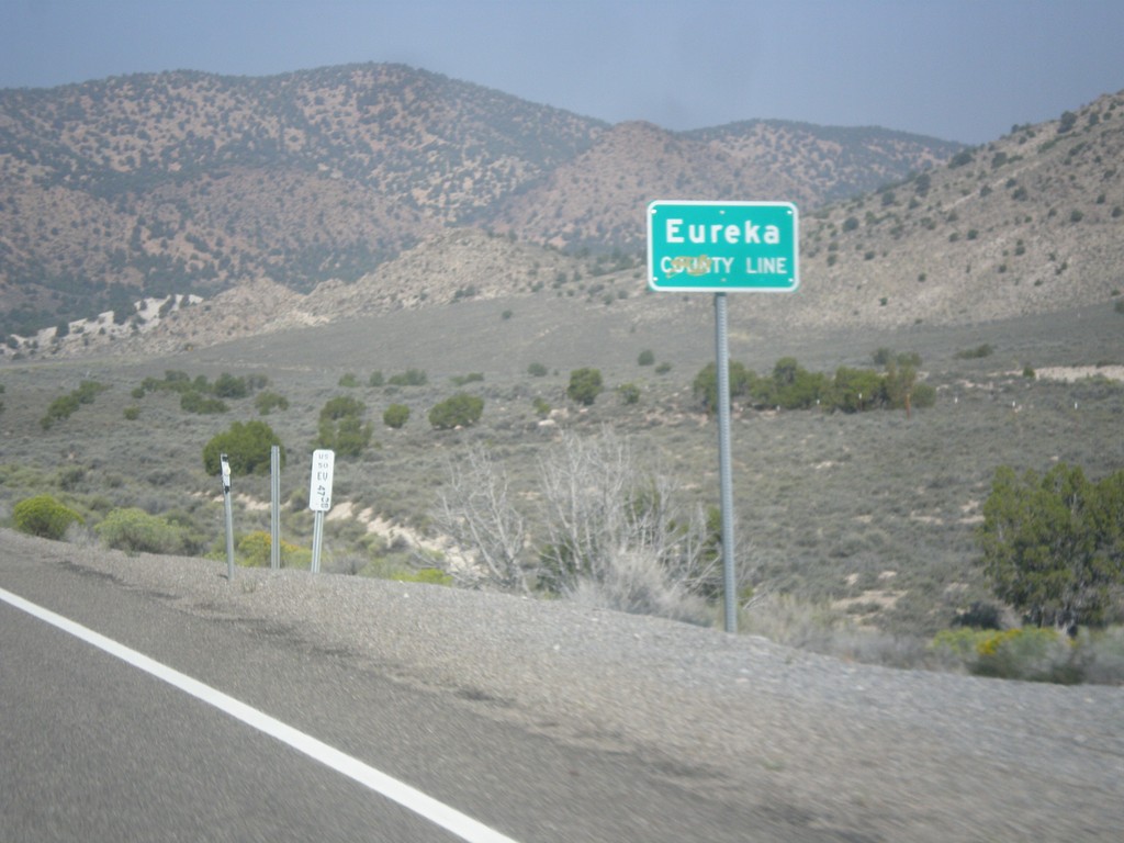
US-50 West - Eureka County Line
Eureka County Line on US-50 west.
Taken 08-31-2014
 Eureka
 County
Nevada
United States
Eureka
Eureka County
Nevada
United States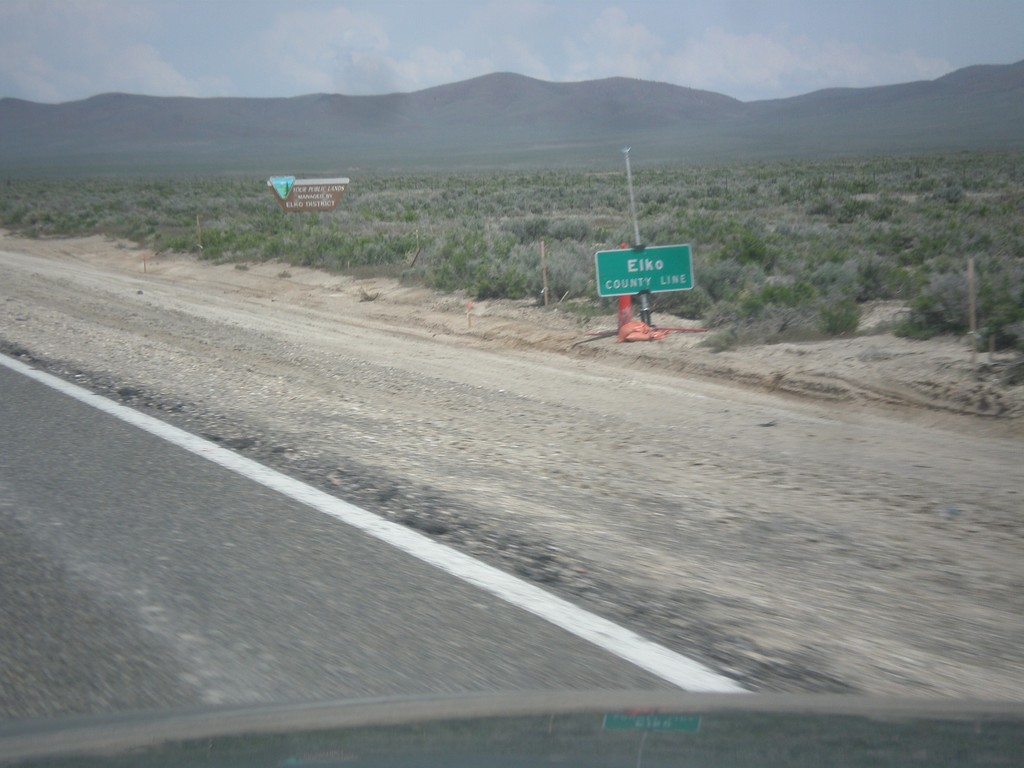
US-93 North - Elko County
Entering Elko County on US-93 north. Elko County is the fourth largest county by area in the lower 48 states.
Taken 05-22-2014
 Ely
Elko County
Nevada
United States
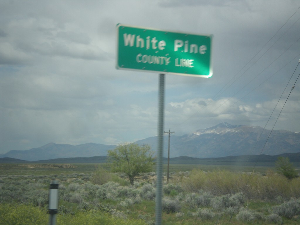
US-93 North - White Pine County Line
White Pine County Line on US-93 north.
Taken 05-21-2014
 Pioche
White Pine County
Nevada
United States
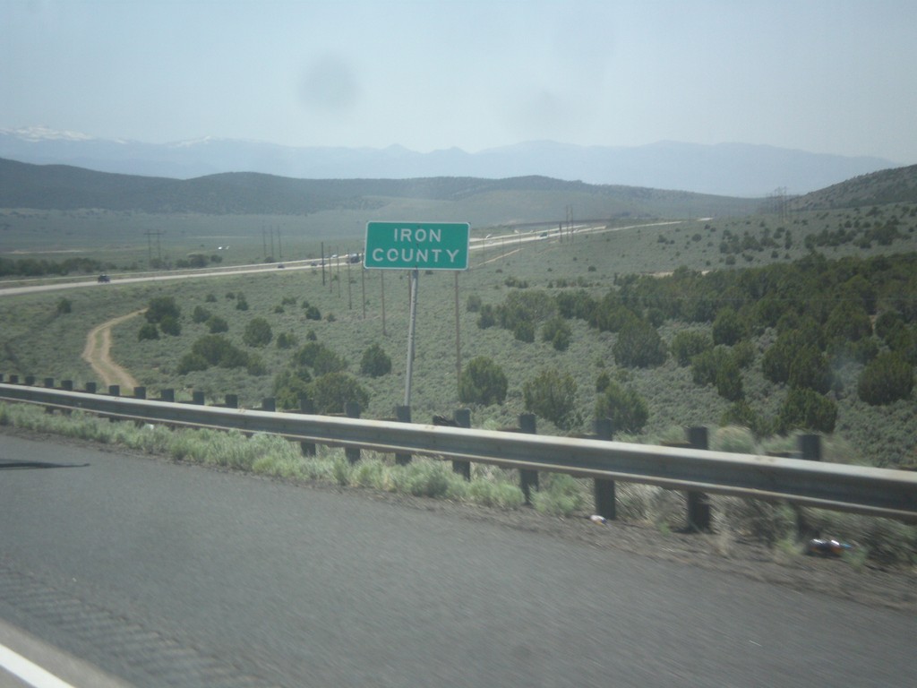
I-15 South - Iron County
Iron County on I-15 south.
Taken 05-19-2014
 Beaver
 County
Utah
United States
Beaver
Beaver County
Utah
United States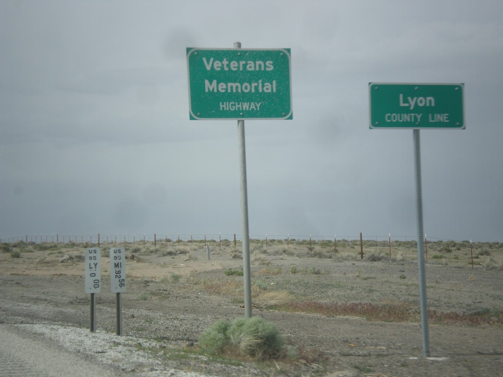
US-95 North - Lyon County Line
Lyon County Line on US-95 north. US-95 is signed as the Veterans Memorial Highway throughout Nevada.
Taken 05-05-2014
 Schurz
Lyon County
Nevada
United States
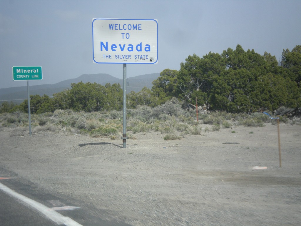
Welcome To Nevada - NV-359 North
Welcome to Nevada - The Silver State, Mineral County Line on NV-359 north. Taken at the Nevada - California state line.
Taken 05-05-2014
 Mina
Mineral County
Nevada
United States
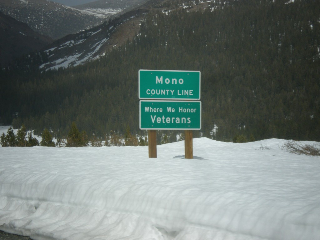
CA-120 East - Mono County Line
Mono County Line on CA-120 east at Tioga Pass.
Taken 05-05-2014
 Lee Vining
Mono County
California
United States
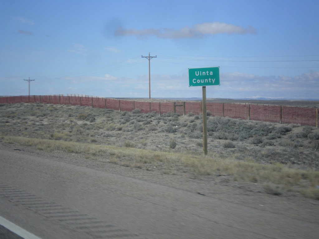
I-80 West - Uinta County
Uinta County on I-80 west. Taken at the Uinta-Sweetwater County Line.
Taken 03-31-2014
 Sweetwater County
Wyoming
United States
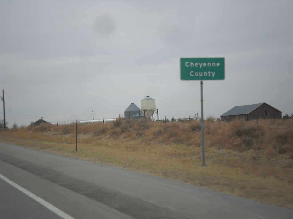
US-287 North - Cheyenne County
Cheyenne County on US-287 north.
Taken 03-30-2014
 Kit Carson
Cheyenne County
Colorado
United States
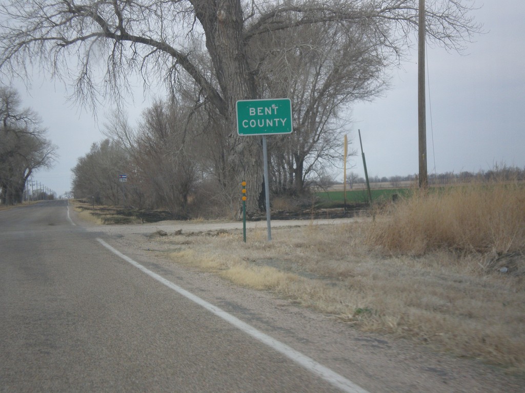
CO-196 West - Bent County
Entering Bent County on CO-196 west.
Taken 03-30-2014
 Wiley
Bent County
Colorado
United States
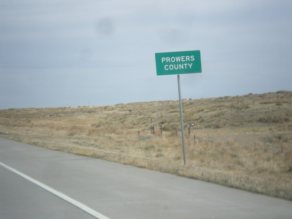
US-287/US-385 North - Prowers County
Prowers County on US-287/US-385 North.
Taken 03-30-2014

 Springfield
Prowers County
Colorado
United States
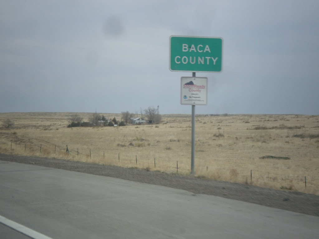
US-287/US-385 North - Baca County
Baca County on US-287/US-385 north at the Oklahoma - Colorado stateline.
Taken 03-30-2014

 Campo
Baca County
Colorado
United States
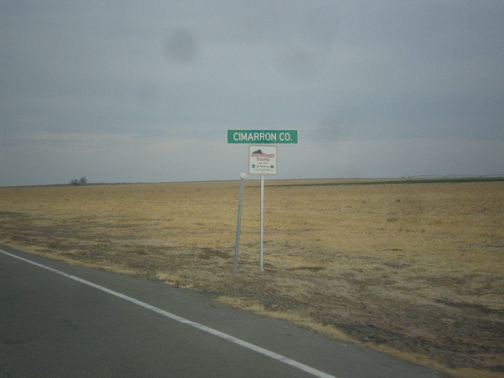
US-385 North - Cimarron Co.
Cimarron Co. on US-385 north. Taken at the Texas - New Mexico stateline.
Taken 03-30-2014
 Boise City
Cimarron County
Oklahoma
United States
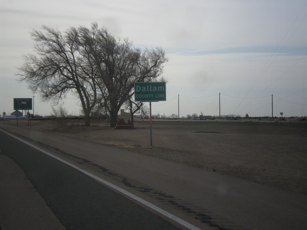
US-87 South - Dallam County Line
Dallam County Line on US-87 South. Taken at the New Mexico - Texas state line.
Taken 03-30-2014
 Texline
Dallam County
Texas
United States
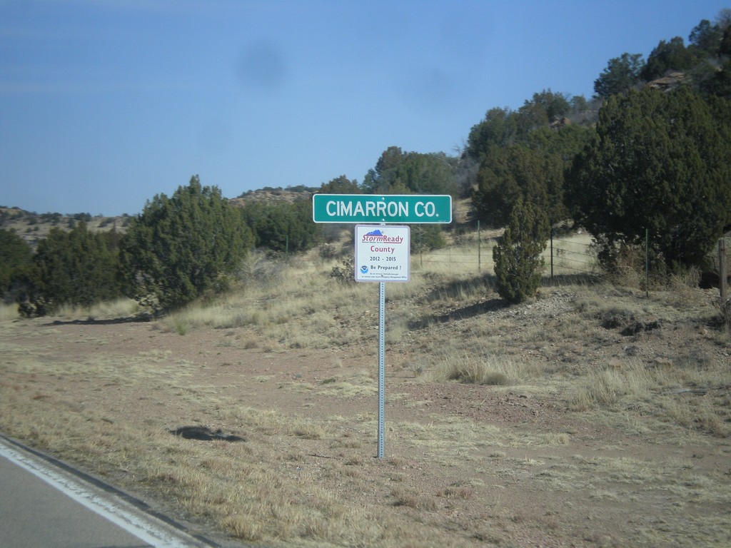
OK-325 - Cimarron County
Cimarron County on OK-325 east. Taken at the New Mexico - Oklahoma state line.
Taken 03-29-2014
 Boise City
Cimarron County
Oklahoma
United States
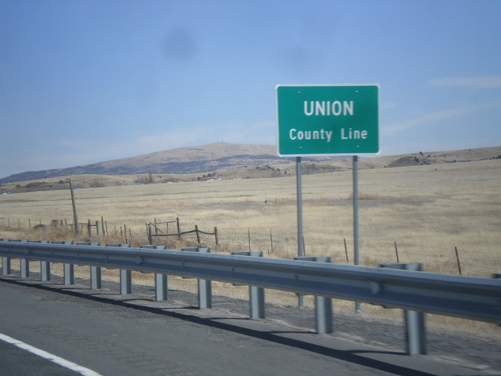
US-64/US-87 East - Union County Line
Union County Line on US-64/US-87 East.
Taken 03-29-2014

 Des Moines
Union County
New Mexico
United States
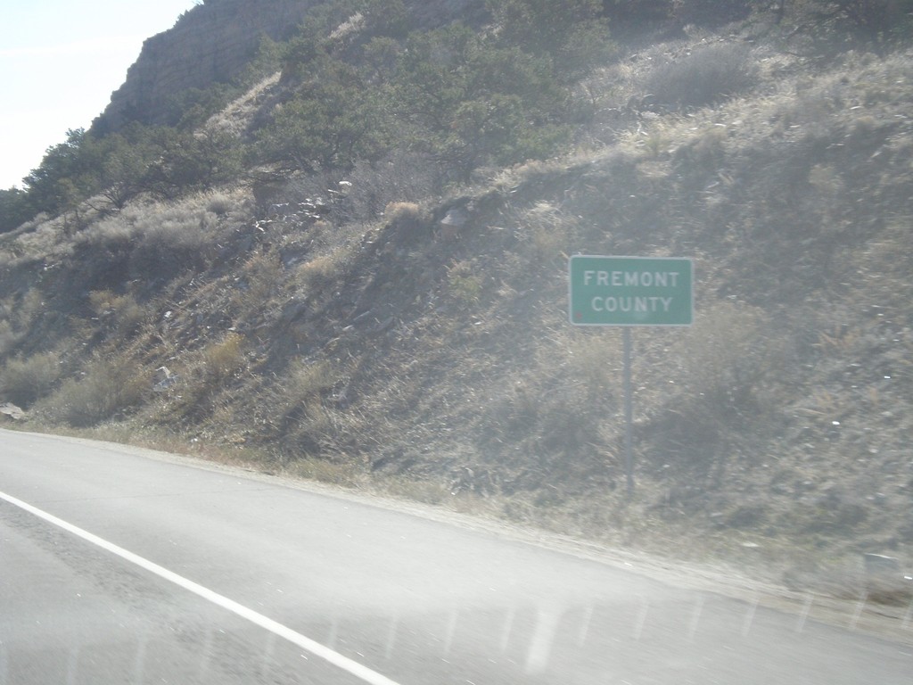
US-50 East - Fremont County
Entering Fremont County on US-50 east.
Taken 03-29-2014
 Salida
Fremont County
Colorado
United States
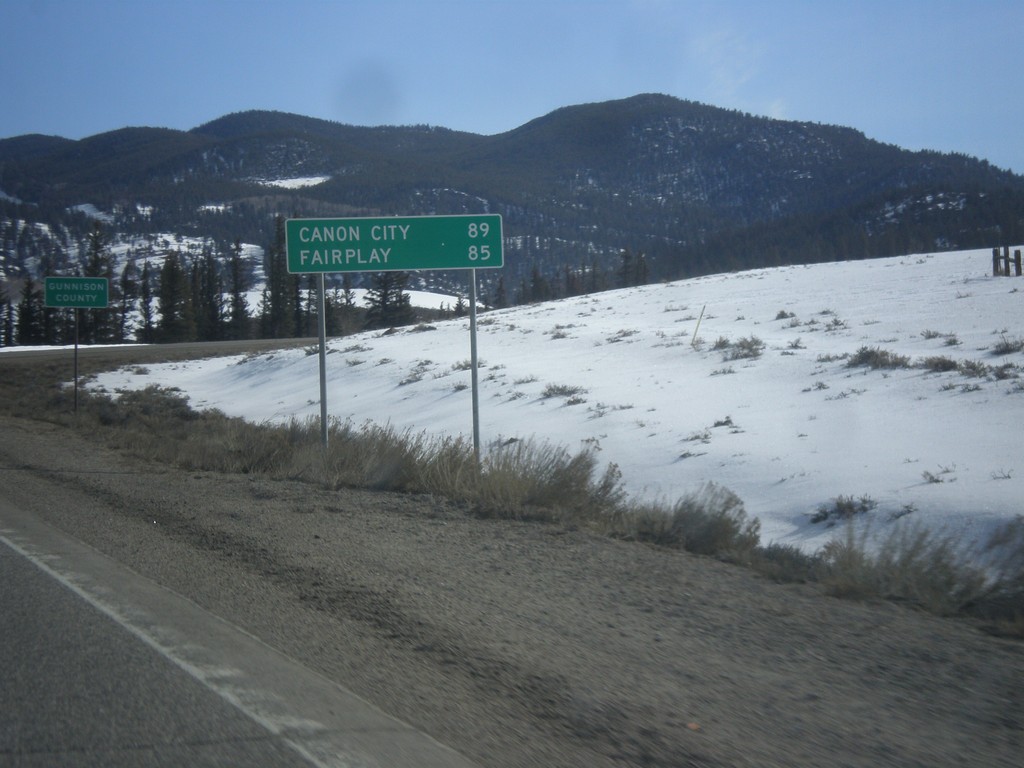
US-50 East - Distance Marker
Distance to Canon City and Fairplay on US-50 east. In the background is the highway enters Gunnison County.
Taken 03-29-2014
 Sargents
Saguache County
Colorado
United States
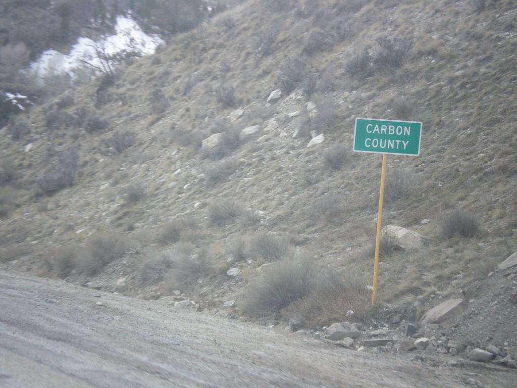
US-6 East - Carbon County
Entering Carbon County on US-6 east.
Taken 03-28-2014
 Helper
Carbon County
Utah
United States
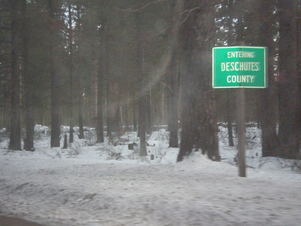
US-20/OR-126 East - Deschutes County
Entering Deschutes County on US-20/OR-126 east.
Taken 02-16-2014

 Sisters
Deschutes County
Oregon
United States
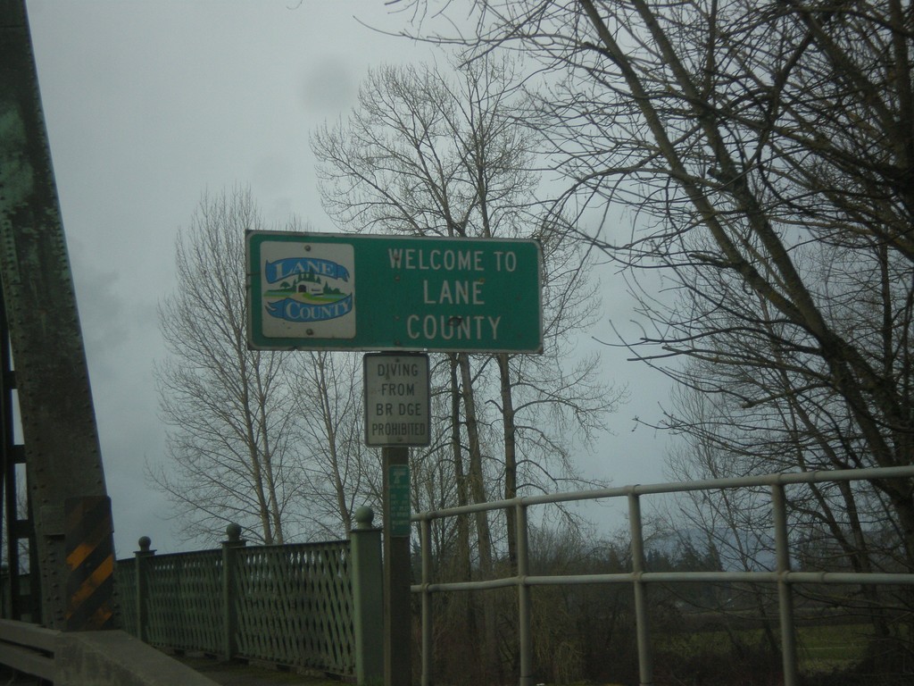
OR-99E South - Entering Lane County
Entering Lane County on OR-99E south on the Willamette River bridge. Many of the counties on western Oregon put logos on their county welcome signs.
Taken 02-13-2014
 Harrisburg
Lane County
Oregon
United States
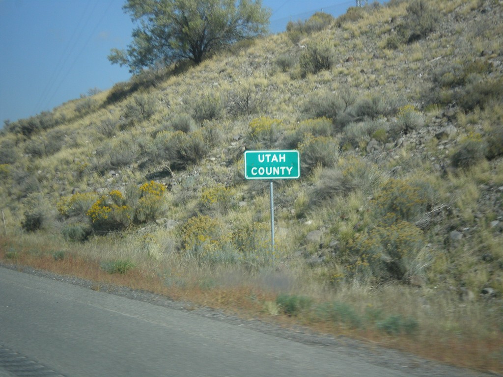
I-15 North - Utah County
Entering Utah County on I-15 northbound. Utah County is the southern part of the Salt Lake City metropolitan area. Provo is the county seat of Utah County.
Taken 10-18-2013
 Mona
Utah County
Utah
United States
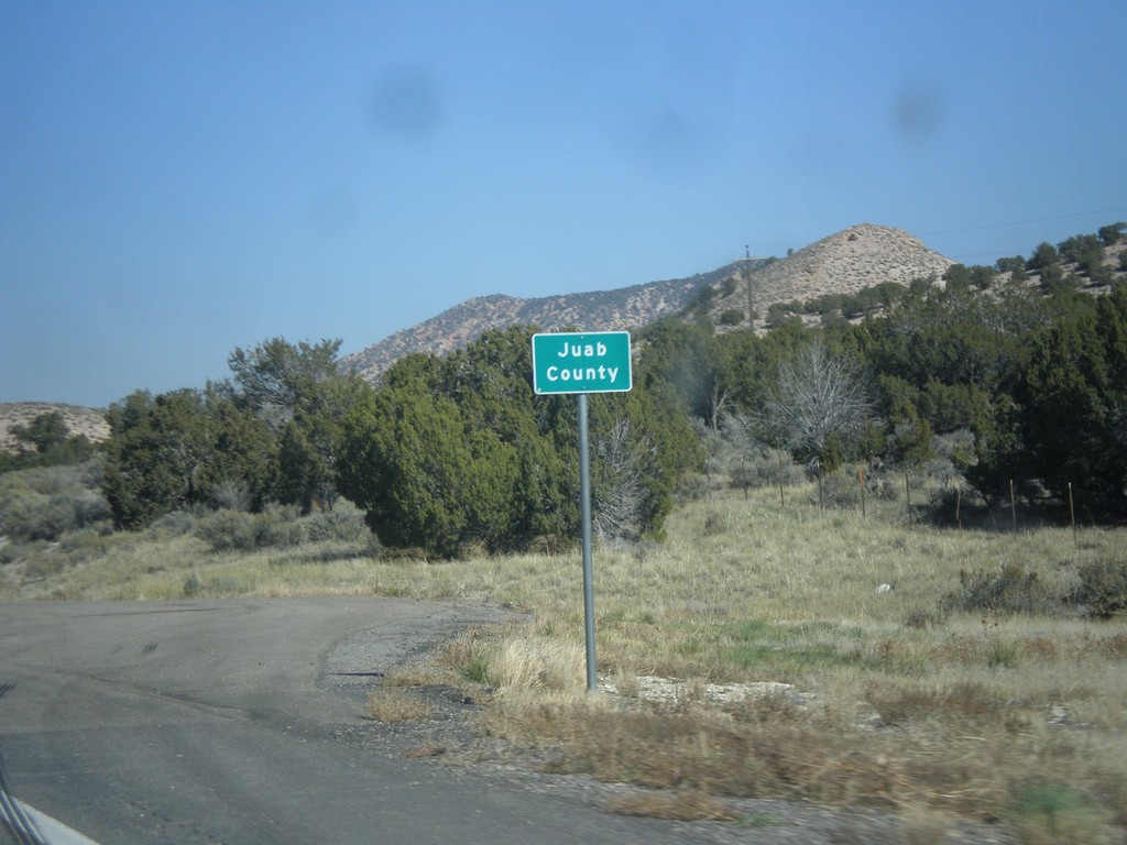
UT-28 North - Juab County
Entering Juab County on UT-28 north. This county line sign is non typical in that it is not written in all capitol letters.
Taken 10-18-2013
 Levan
Juab County
Utah
United States
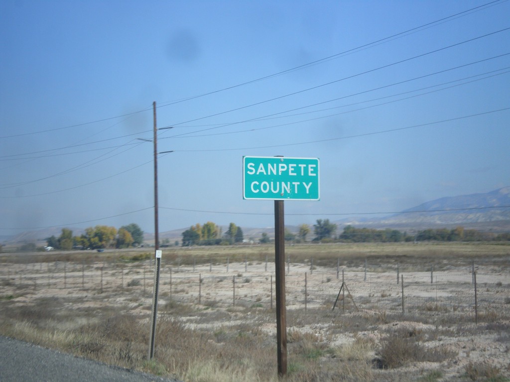
US-89 North - Sanpete County
Entering Sanpete County on US-89 north.
Taken 10-18-2013
 Salina
Sanpete County
Utah
United States