Signs Tagged With Boundary::County
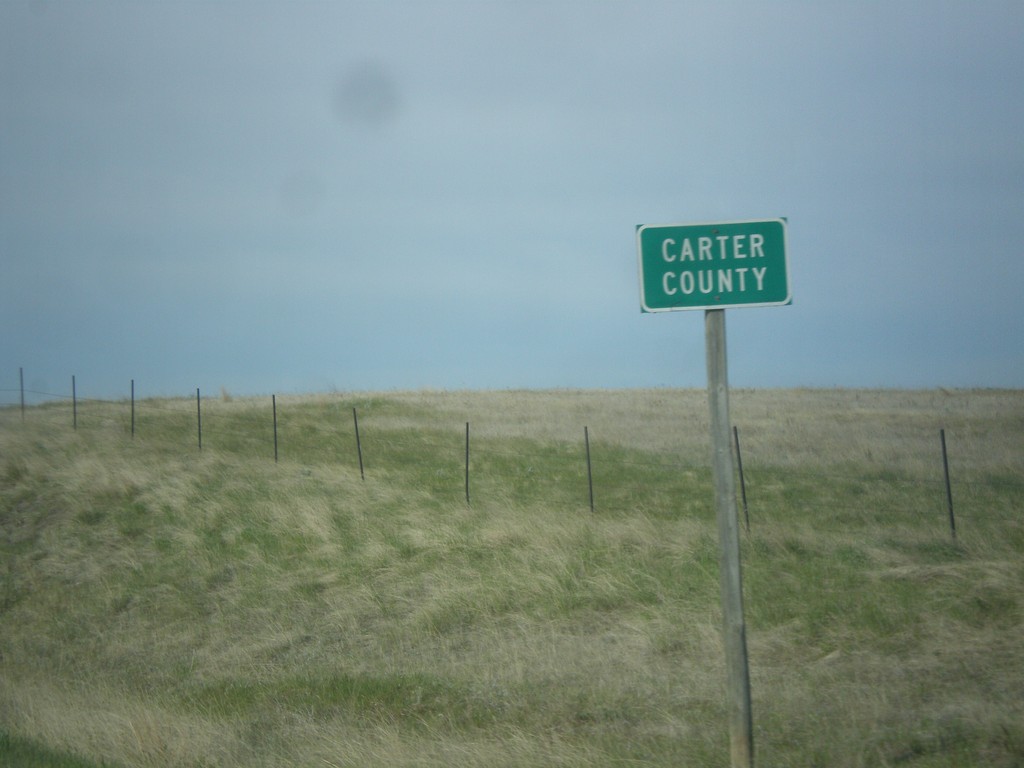
MT-7 South - Carter County
Entering Carter County on MT-7 south.
Taken 05-15-2016
 Ekalaka
Carter County
Montana
United States
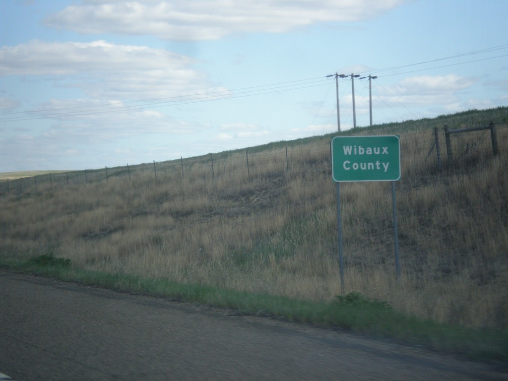
I-94 East - Wibaux County
Entering Wibaux County on I-94 east.
Taken 05-14-2016
 Wibaux
 County
Montana
United States
Wibaux
Wibaux County
Montana
United States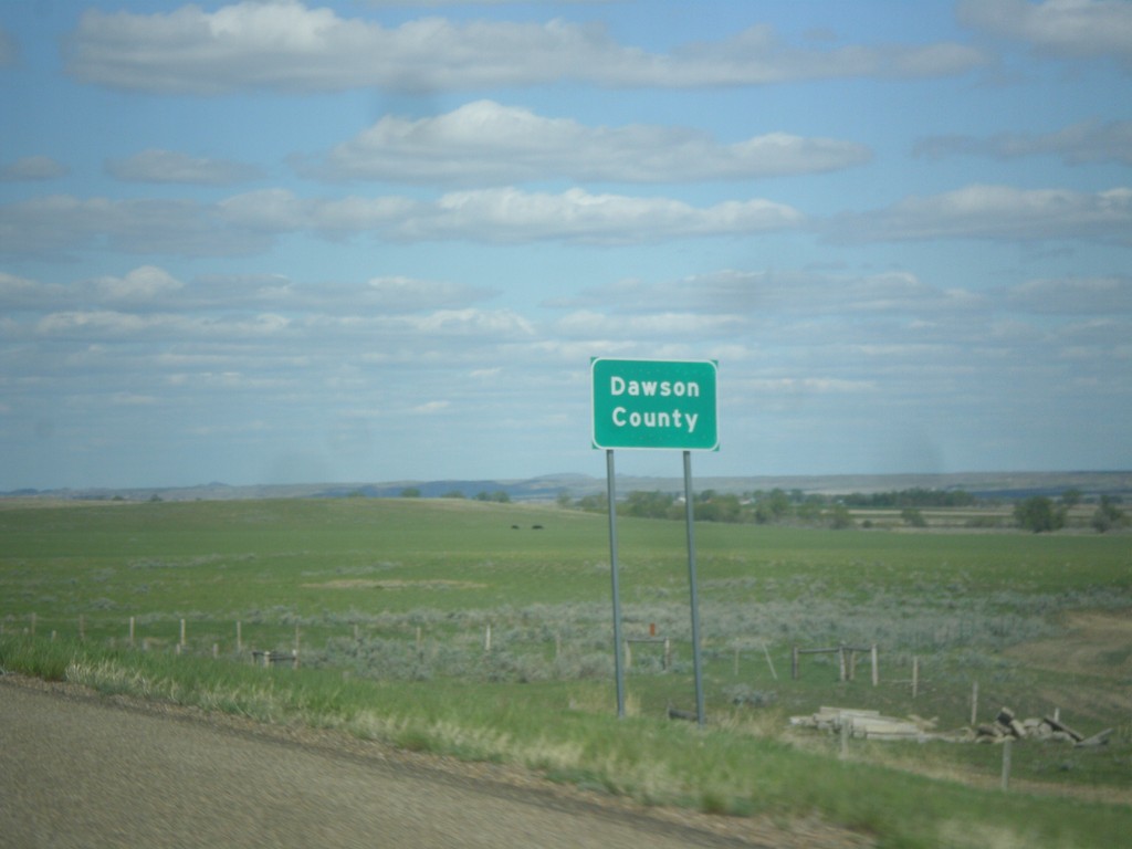
I-94 East - Dawson County
Entering Dawson County on I-94 east.
Taken 05-14-2016
 Glendive
Dawson County
Montana
United States
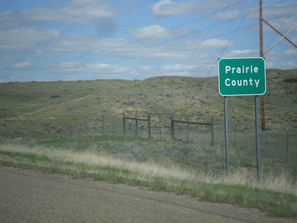
I-94 East - Prairie County
Entering Prairie County on I-94 east.
Taken 05-14-2016
 Terry
Prairie County
Montana
United States
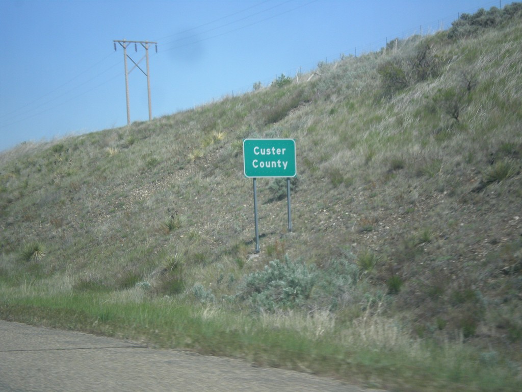
I-94 East - Custer County
Entering Custer County on I-94 east.
Taken 05-14-2016

 Hathaway
Custer County
Montana
United States
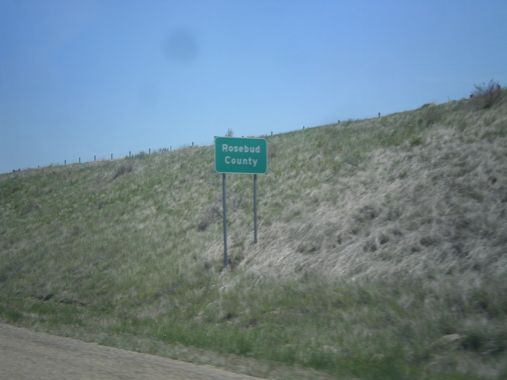
I-94 East - Rosebud County
Rosebud County on I-94 east.
Taken 05-14-2016
 Finch
Rosebud County
Montana
United States
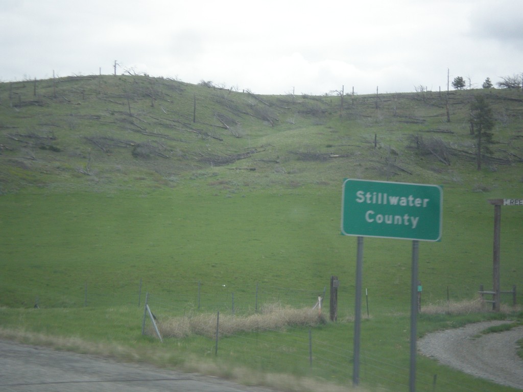
I-90 East - Stillwater County
Stillwater County on I-90 east.
Taken 05-14-2016
 Reed Point
Stillwater County
Montana
United States
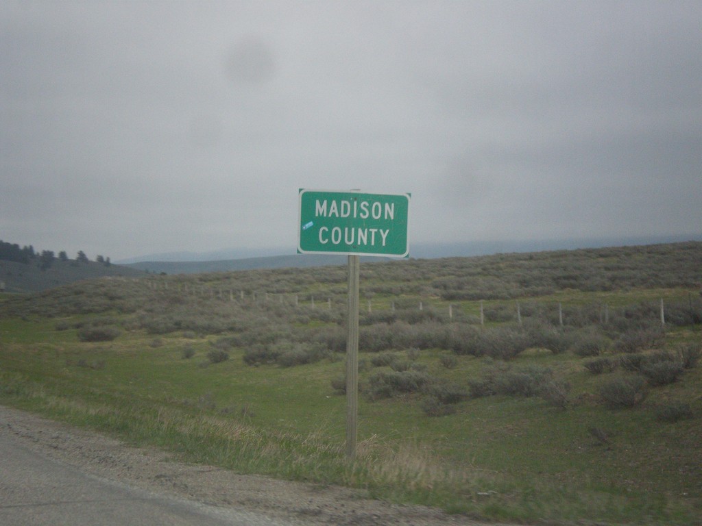
MT-87 North - Madison County
Madison County on MT-87 north at the Montana-Idaho state line. The stateline is on Raynolds Pass which is on the continental divide.
Taken 05-14-2016
 Madison County
Montana
United States
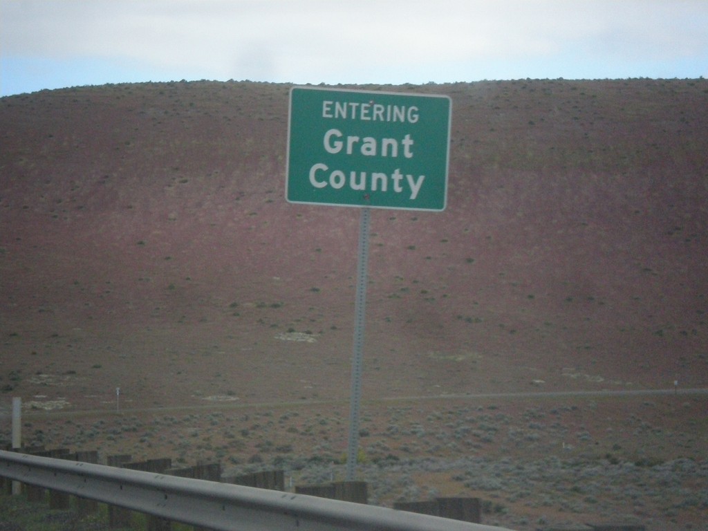
WA-24 East - Grant County
Entering Grant County on WA-24 east, crossing the Columbia River.
Taken 04-28-2016
 Mattawa
Grant County
Washington
United States
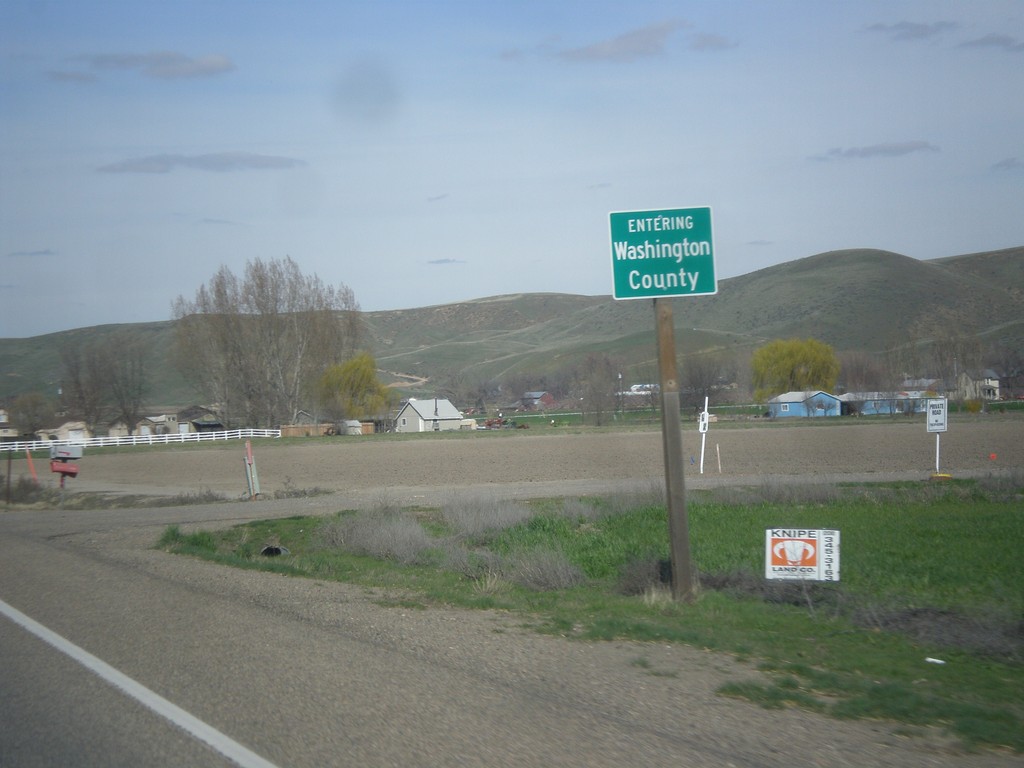
US-95 North - Washington County
Entering Washington County on US-95 north.
Taken 03-18-2016
 Payette
Washington County
Idaho
United States