Signs Tagged With Boundary::County
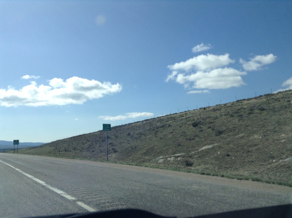
I-15 South - Entering Clark County
I-15 south Entering Clark Count and Leaving Montana. Taken on Monida Pass on the Continental Divide between Idaho and Montana.
Taken 05-10-2015
 Humphrey
Clark County
Idaho
United States
Humphrey
Clark County
Idaho
United States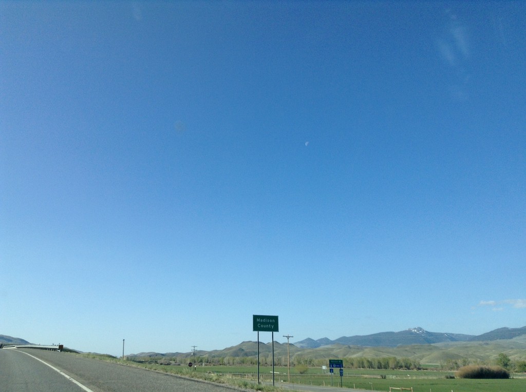
I-15 South - Madison County
Madison County on I-15 south.
Taken 05-10-2015
Silver Star
Madison County
Montana
United States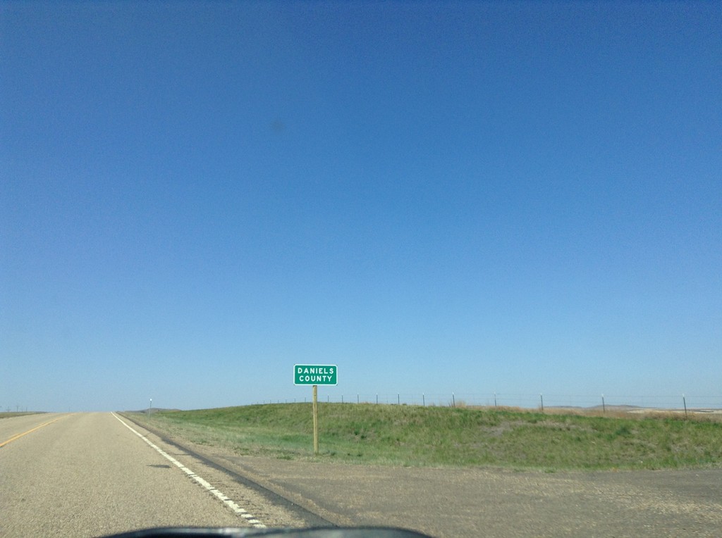
MT-5 West - Daniels County
Entering Daniels County on MT-5 west.
Taken 05-09-2015
 Redstone
Sheridan County
Montana
United States
Redstone
Sheridan County
Montana
United States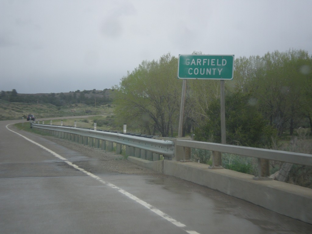
MT-200 East - Garfield County
Entering Garfield County on MT-200 East. Garfield County, Montana has one of the smallest population densities in the Lower-48. It has the lowest population density in Montana.
Taken 05-08-2015
 Mosby
Garfield County
Montana
United States
Mosby
Garfield County
Montana
United States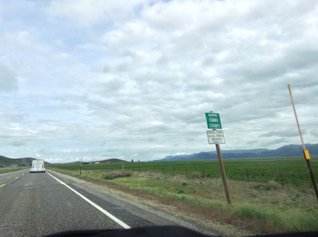
US-20 East - Entering Camas County
Entering Camas County on US-20 east.
Taken 05-07-2015
 Hill City
Camas County
Idaho
United States
Hill City
Camas County
Idaho
United States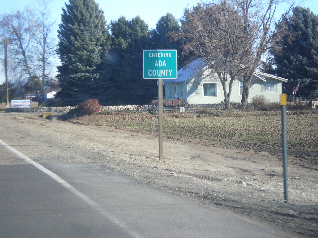
US-20/US-26 East - Ada County
Entering Ada County on US-20/US-26 east.
Taken 12-14-2014
 Nampa
Canyon County
Idaho
United States
Nampa
Canyon County
Idaho
United States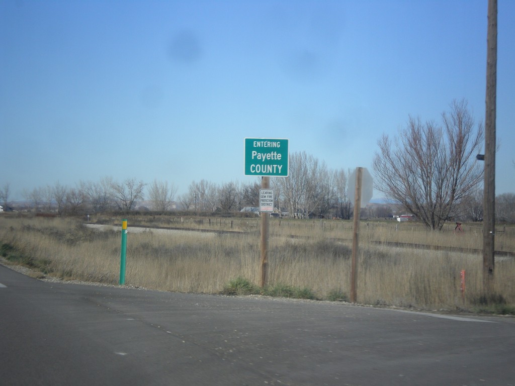
ID-52 West - Payette County
Entering Payette County on ID-52 west.
Taken 12-14-2014
 New Plymouth
Payette County
Idaho
United States
New Plymouth
Payette County
Idaho
United States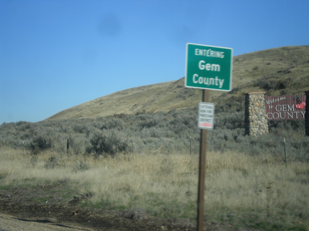
ID-16 North - Gem County
Entering Gem County on ID-16 north.
Taken 12-14-2014
 Emmett
Gem County
Idaho
United States
Emmett
Gem County
Idaho
United States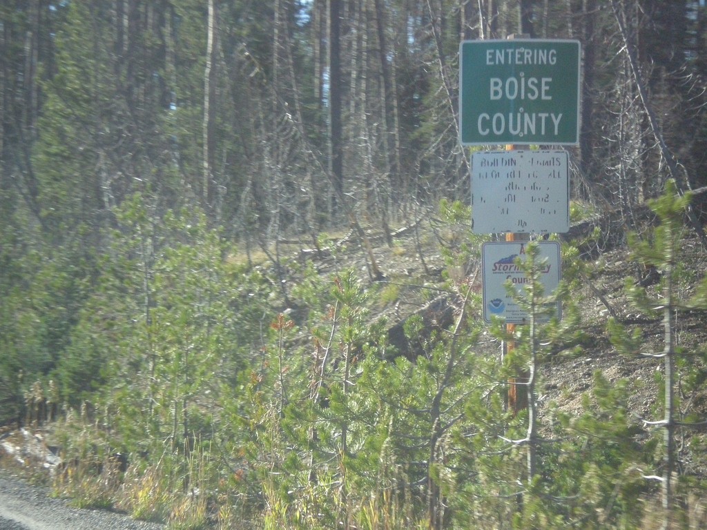
ID-21 - Entering Boise County
Entering Boise County along ID-21 south. The Boise-Custer County Line is located on Banner Summit - Elevation 7037 Feet.
Taken 10-05-2014
 Lowman
Boise County
Idaho
United States
Lowman
Boise County
Idaho
United States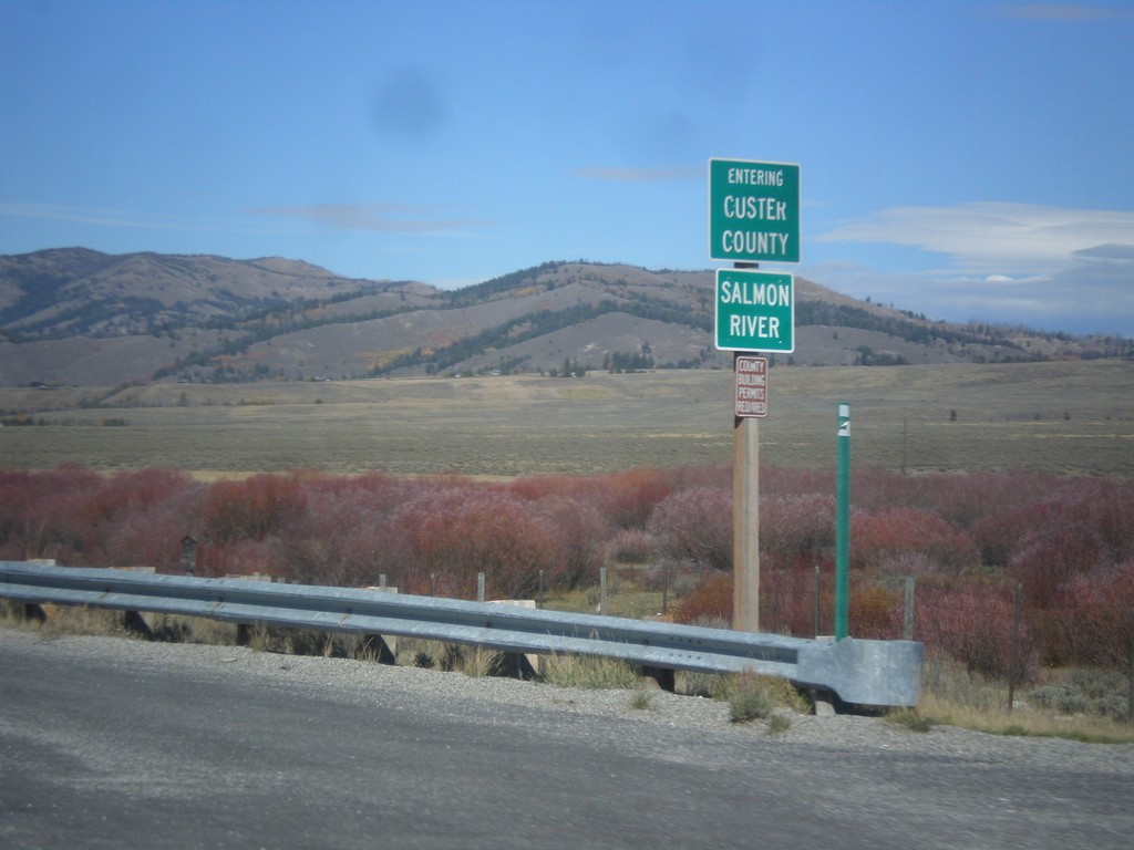
ID-75 North - Entering Custer County
Entering Custer County on ID-75 north at the Salmon River.
Taken 10-04-2014
 Obsidian
Custer County
Idaho
United States
Obsidian
Custer County
Idaho
United States