Signs Tagged With County Boundary
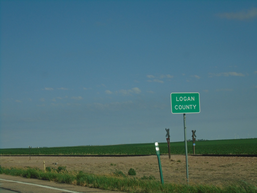
US-6 West - Logan County
Entering Logan County on US-6 West.
Taken 07-11-2022
 Haxtun
Phillips County
Colorado
United States
Haxtun
Phillips County
Colorado
United States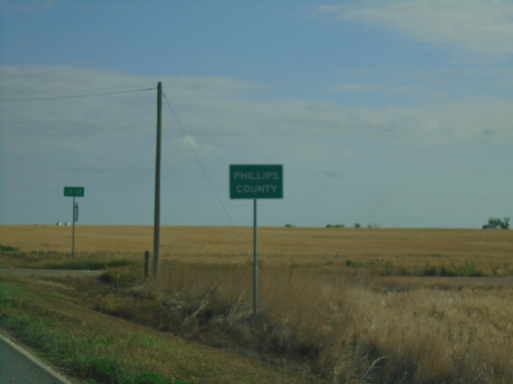
CO-59 North - Phillips County
Entering Phillips County on CO-59 North.
Taken 07-11-2022
 Haxtun
Phillips County
Colorado
United States
Haxtun
Phillips County
Colorado
United States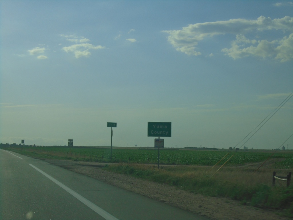
US-34 East - Yuma County
Entering Yuma County on US-34 East.
Taken 07-11-2022
 Yuma
Yuma County
Colorado
United States
Yuma
Yuma County
Colorado
United States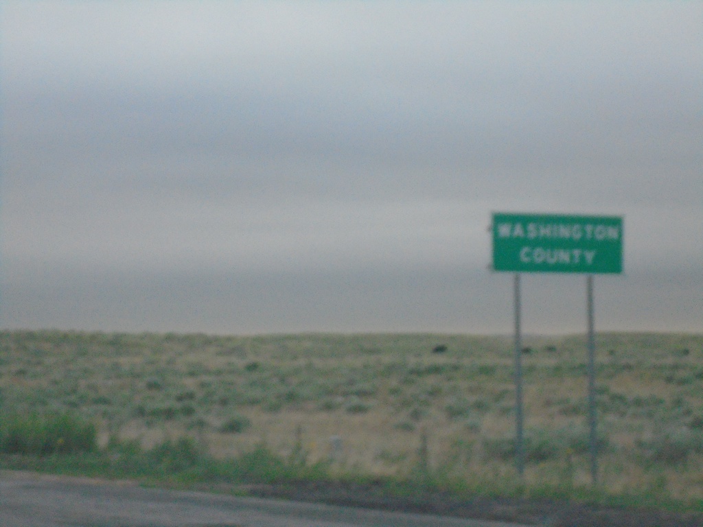
US-34 East - Washington County
Entering Washington County on US-34 East
Taken 07-11-2022
Akron
Washington County
Colorado
United States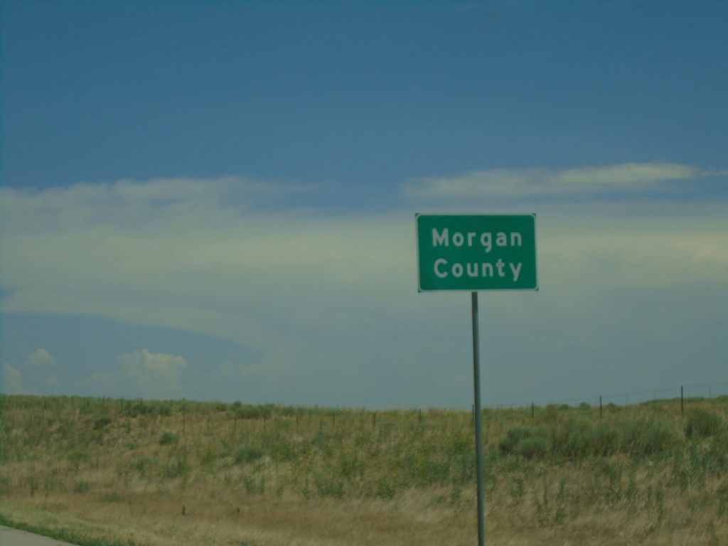
I-76 East - Morgan County
Morgan County on I-76 east.
Taken 07-10-2022
 Wiggins
Morgan County
Colorado
United States
Wiggins
Morgan County
Colorado
United States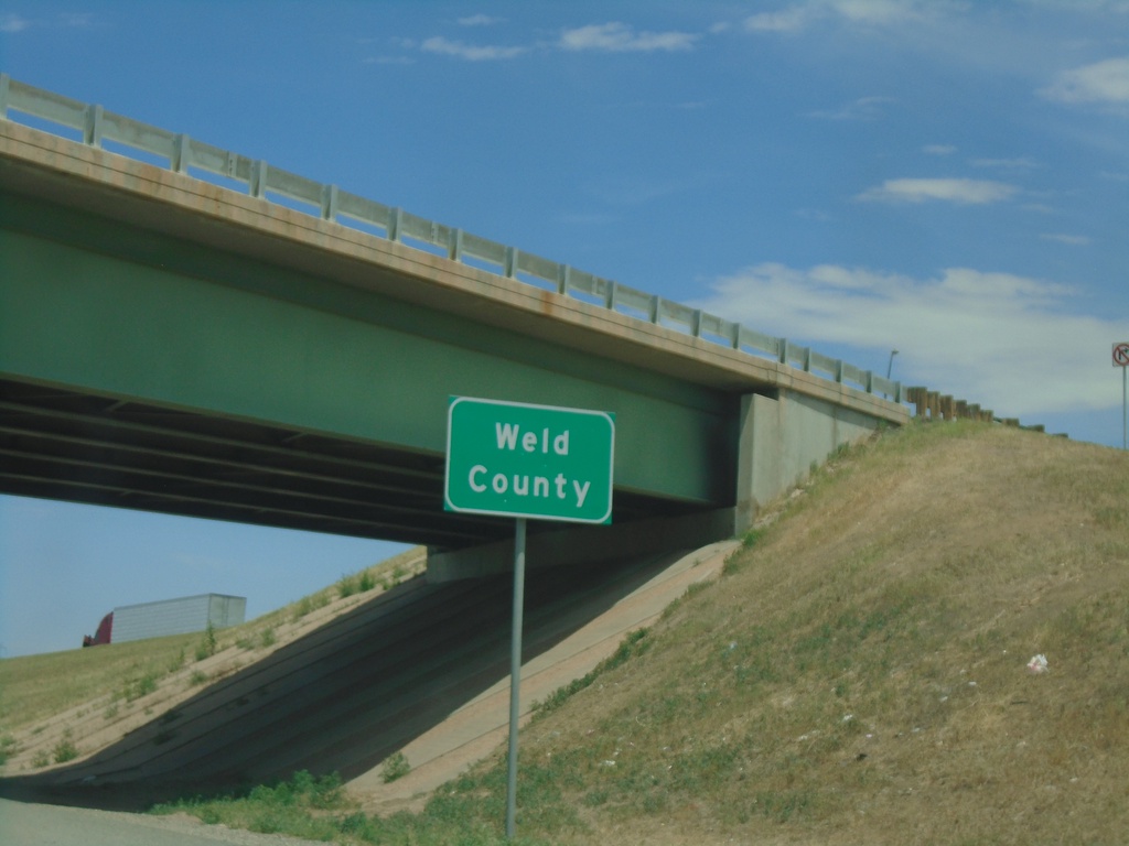
I-76 East - Weld County
Entering Weld County on I-76 East.
Taken 07-10-2022
Lochbuie
Weld County
Colorado
United States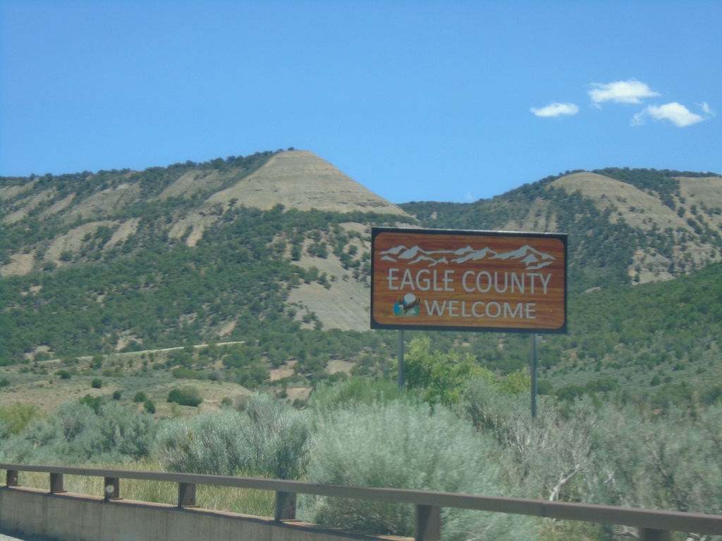
I-70 East - Eagle County
Entering Eagle County on I-70 East.
Taken 07-09-2022
 Gypsum
Eagle County
Colorado
United States
Gypsum
Eagle County
Colorado
United States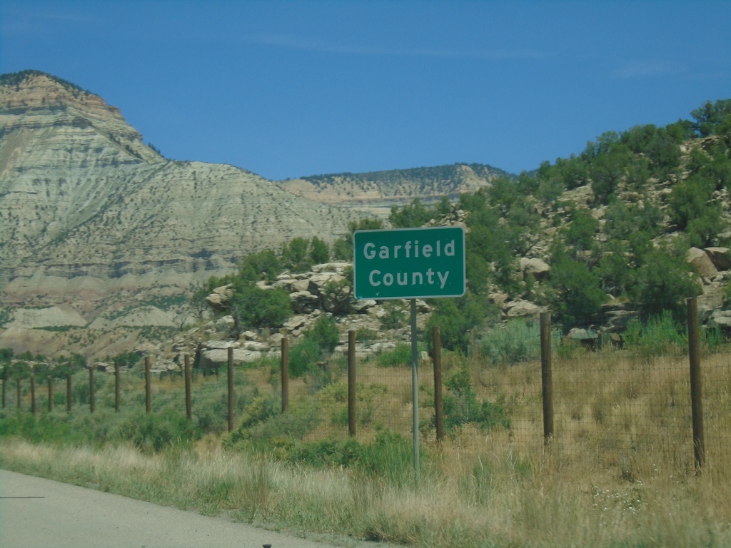
I-70 East - Garfield County
Entering Garfield County on I-70 east.
Taken 07-09-2022
De Beque
Garfield County
Colorado
United States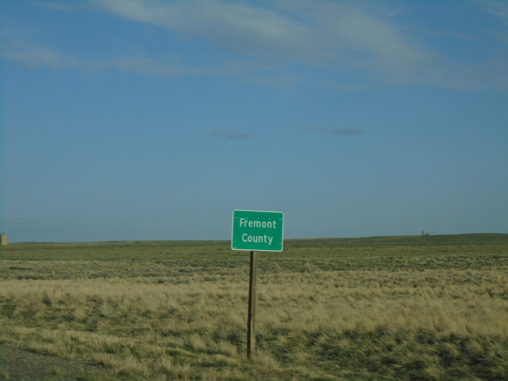
US-20/US-26 West - Fremont County
Entering Fremont County on US-20/US-26 West.
Taken 05-03-2022

 Shoshoni
Fremont County
Wyoming
United States
Shoshoni
Fremont County
Wyoming
United States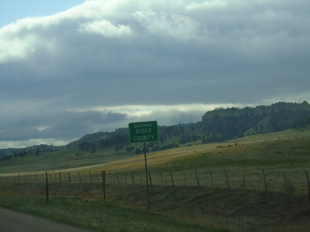
US-20 West - Sioux County
Entering Sioux County on US-20 west. Sioux County is in the northwest corner of Nebraska.
Taken 05-02-2022
Harrison
Sioux County
Nebraska
United States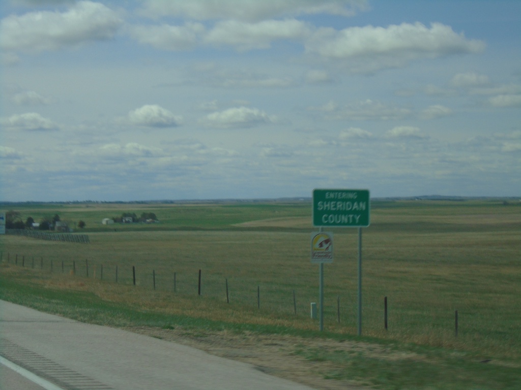
US-20 West - Sheridan County
Entering Sheridan County on US-20 west.
Taken 05-02-2022
Gordon
Sheridan County
Nebraska
United States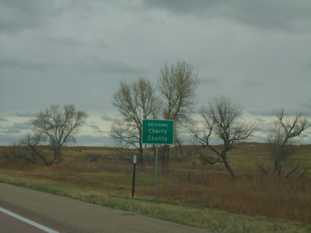
US-20 West - Cherry County
Entering Cherry County on US-20 West. Cherry County is the largest county by area in Nebraska.
Taken 05-02-2022
Wood Lake
Cherry County
Nebraska
United States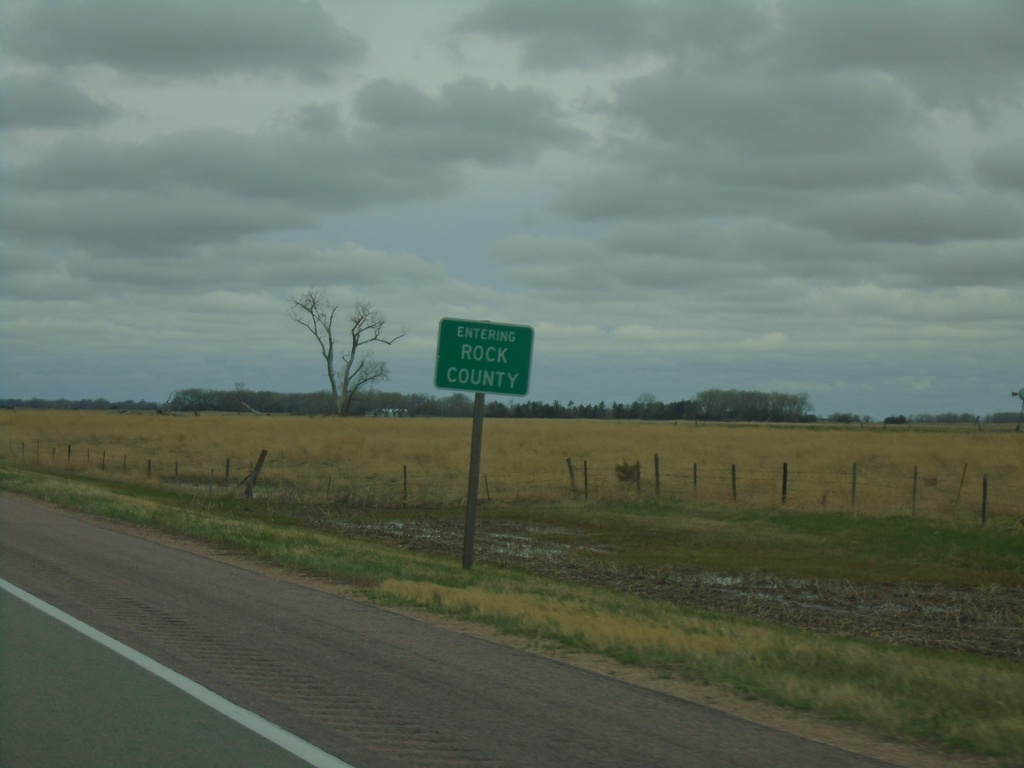
US-20 West - Rock County
Entering Rock County on US-20 west.
Taken 05-02-2022
Stuart
Rock County
Nebraska
United States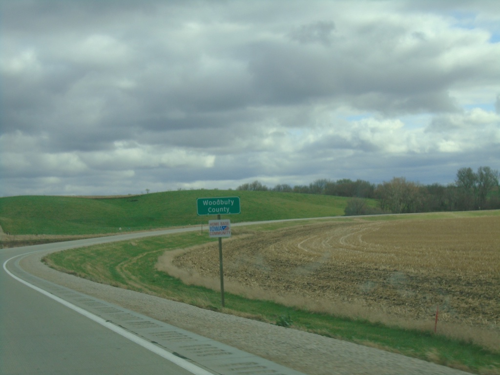
IA-31 South - Woodbury County
Woodbury County on IA-31 south.
Taken 05-01-2022
 Correctionville
Ida County
Iowa
United States
Correctionville
Ida County
Iowa
United States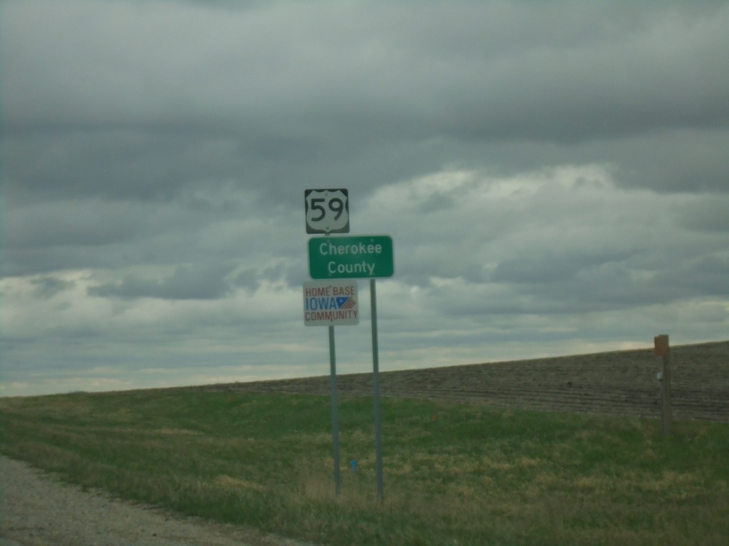
US-59 South - Cherokee County
Cherokee County on US-59 south.
Taken 05-01-2022
 Larrabee
Cherokee County
Iowa
United States
Larrabee
Cherokee County
Iowa
United States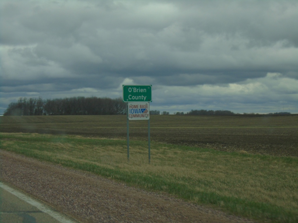
US-59 South - O'Brien County
O’Brien County on US-59 South.
Taken 05-01-2022
Sanborn
O'Brien County
Iowa
United States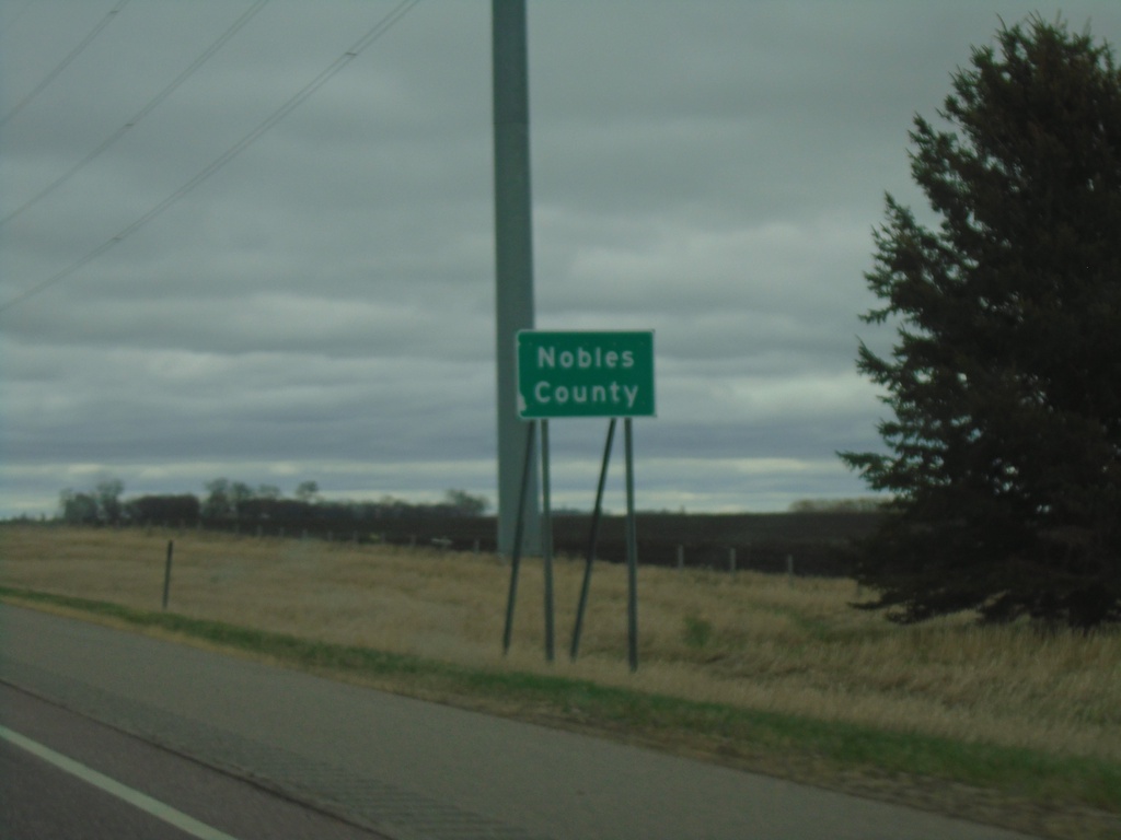
I-90 East - Nobles County
Nobels County on I-90 East.
Taken 05-01-2022
 Adrian
Rock County
Minnesota
United States
Adrian
Rock County
Minnesota
United States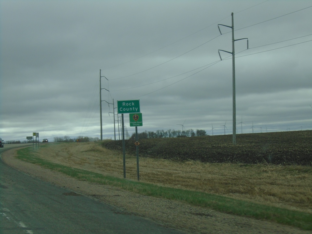
US-75 South - Rock County
Rock County on US-75 South. Rock County is in the southwestern corner of Minnesota.
Taken 05-01-2022
 Trosky
Pipestone County
Minnesota
United States
Trosky
Pipestone County
Minnesota
United States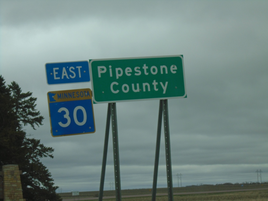
MN-30 East - Pipestone County
MN-30 East - Pipestone County. At the South Dakota-Minnesota State Line.
Taken 05-01-2022
 Pipestone
 County
Minnesota
United States
Pipestone
Pipestone County
Minnesota
United States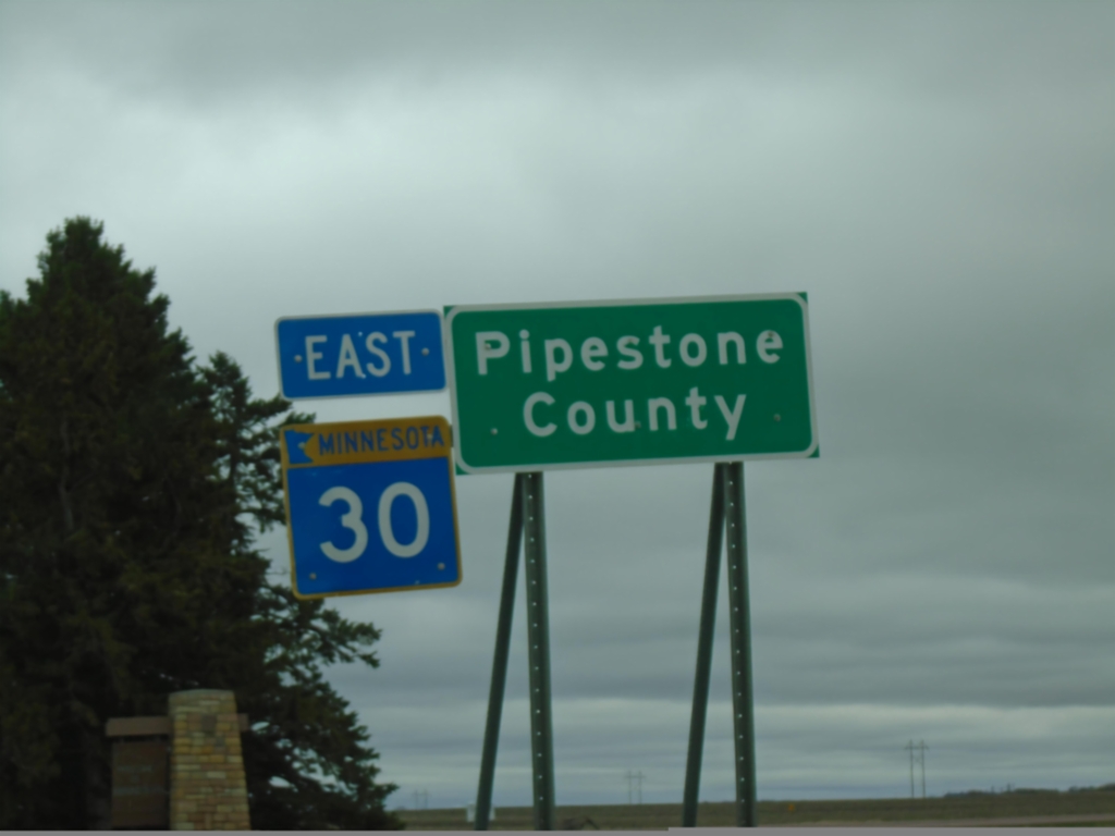
MN-30 East - Pipestone County
MN-30 East - Pipestone County. At the South Dakota-Minnesota State Line.
Taken 05-01-2022
Pipestone
Pipestone County
Minnesota
United States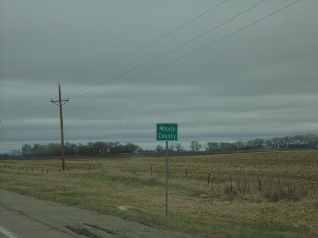
SD-34 East - Moody County
Moody County on SD-34 east.
Taken 05-01-2022
 Colman
Moody County
South Dakota
United States
Colman
Moody County
South Dakota
United States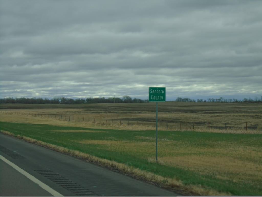
SD-34 East - Sanborn County
Entering Sanborn County on SD-34 east.
Taken 05-01-2022
Woonsocket
Sanborn County
South Dakota
United States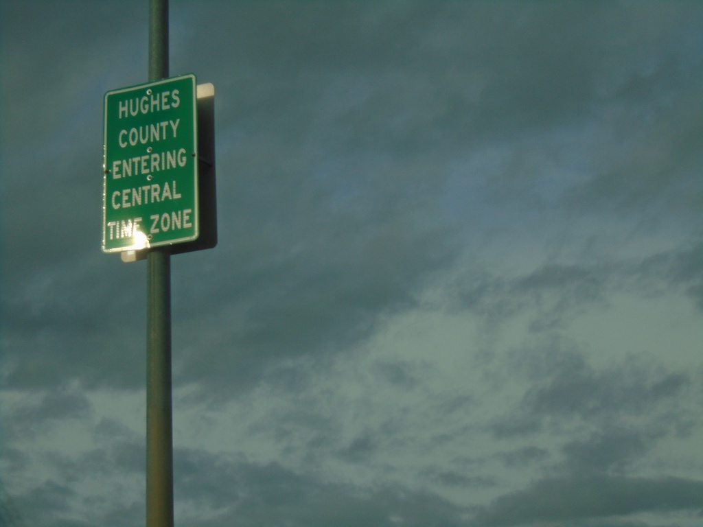
US-14/SD-34 East/US-83 North - Entering Hughes County/Central Time Zone
Entering Hughes County/Central Time Zone on US-14/SD-34 East/US-83 North. The county/time zone boundary is on the Missouri River bridge.
Taken 04-30-2022

 Fort Pierre
Stanley County
South Dakota
United States
Fort Pierre
Stanley County
South Dakota
United States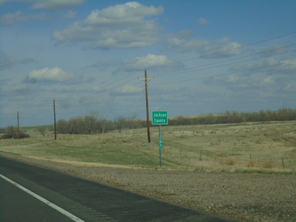
US-14 East - Jackson County
Entering Jackson County on US-14 east.
Taken 04-30-2022
Quinn
Jackson County
South Dakota
United States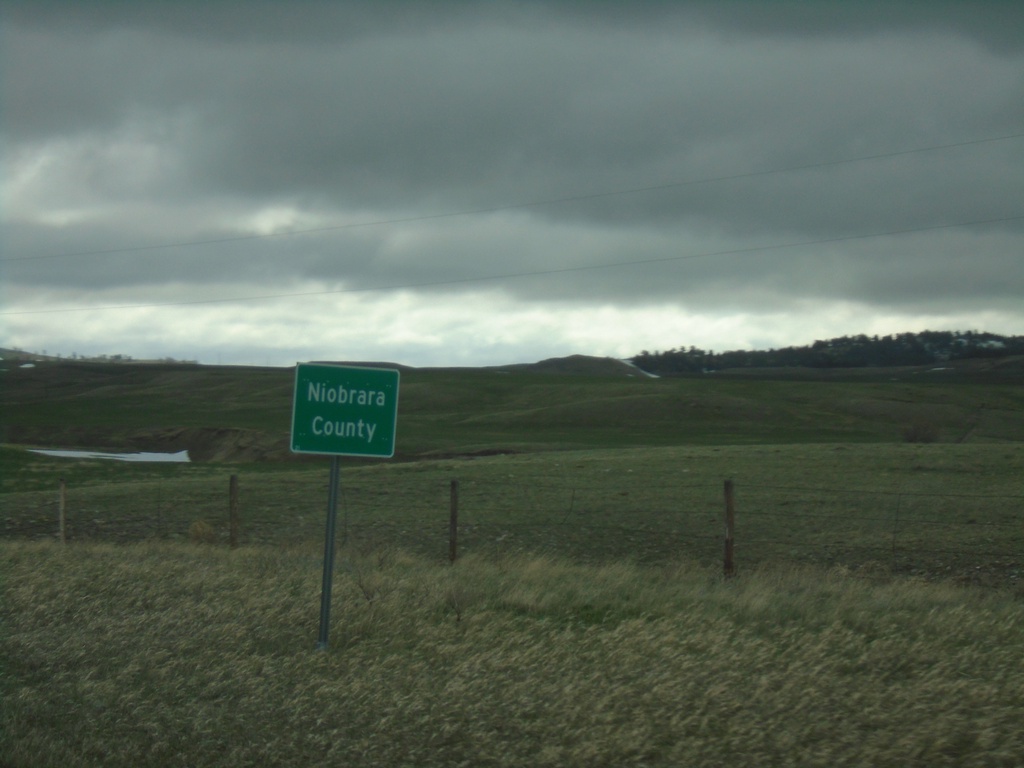
WY-270 North - Niobrara County
Entering Niobrara County on WY-270 North. Niobrara County is the smallest county by population in Wyoming.
Taken 04-30-2022
 Manville
Niobrara County
Wyoming
United States
Manville
Niobrara County
Wyoming
United States