Signs Tagged With Indian Reservation Boundary
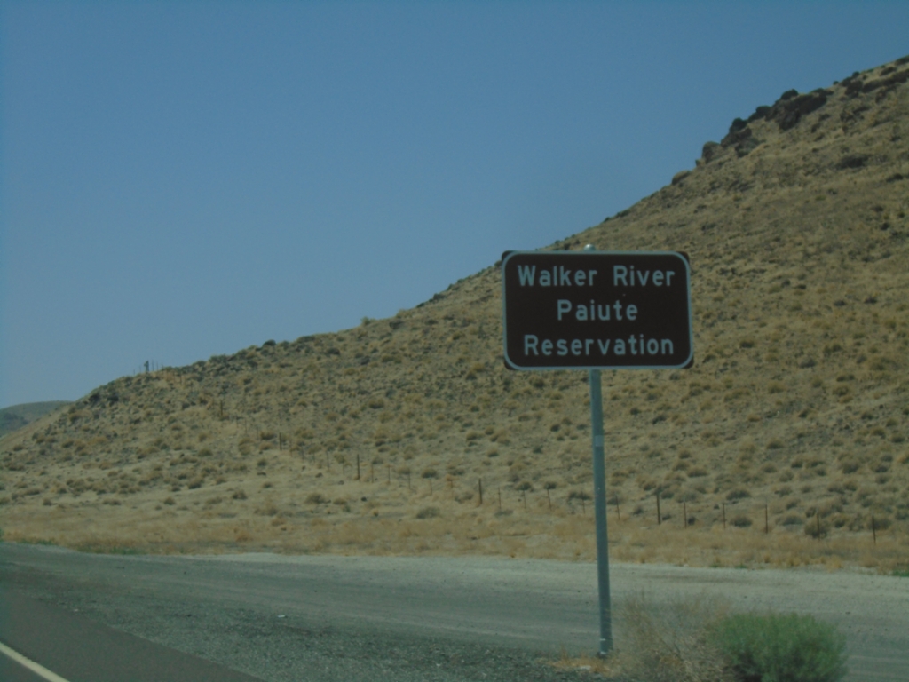
US-95 South - Walker Paiute Indian Reservation
Entering Walker Paiute Indian Reservation on US-95 South
Taken 07-20-2025
 Fallon
Churchill County
Nevada
United States
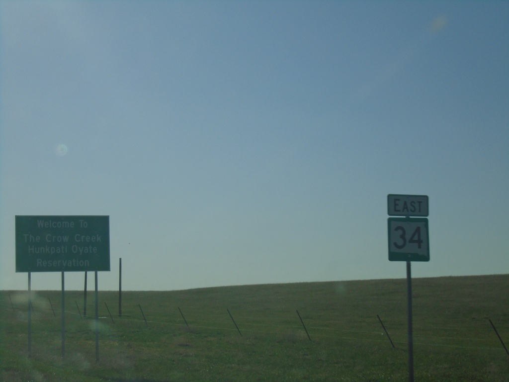
SD-34 East - Crow Creek Reservation
Entering Crow Creek/Hunkpati Oyate Reservation on SD-34 north. The Crow Creek Reservation is home to the Crow Creek Sioux Tribe.
Taken 05-01-2022
 Harrold
Hughes County
South Dakota
United States
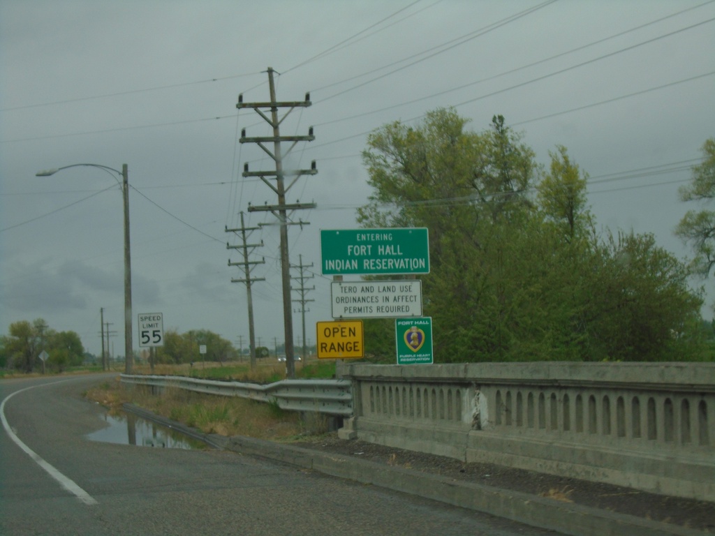
BL-15 South/US-91 South - Fort Hall Indian Reservation
Entering the Fort Hall Indian Reservation on BL-15 South/US-91 South.
Taken 05-22-2020

 Blackfoot
Bingham County
Idaho
United States
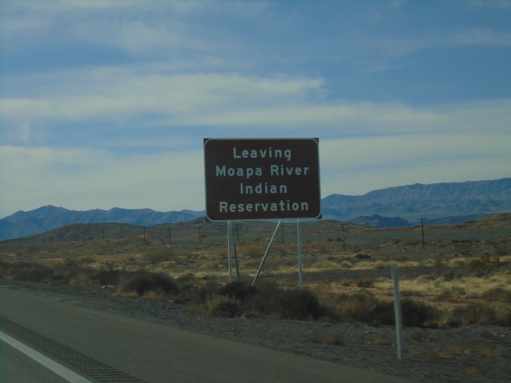
I-15 South - Leaving Moapa Indian Reservation
Leaving Moapa Indian Reservation on I-15 south
Taken 11-26-2019
 Crystal
Clark County
Nevada
United States
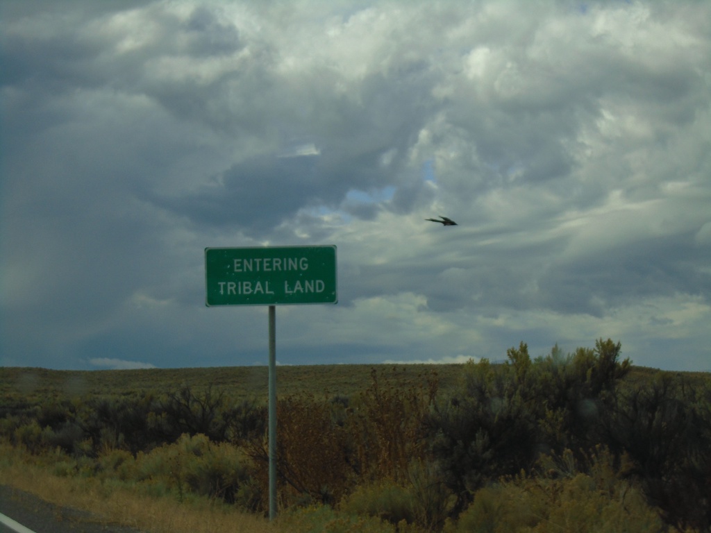
NV-228 South - South Fork Indian Reservation
NV-228 - Entering Tribal Land - South Fork Indian Reservation
Taken 09-28-2019
 Spring Creek
Elko County
Nevada
United States
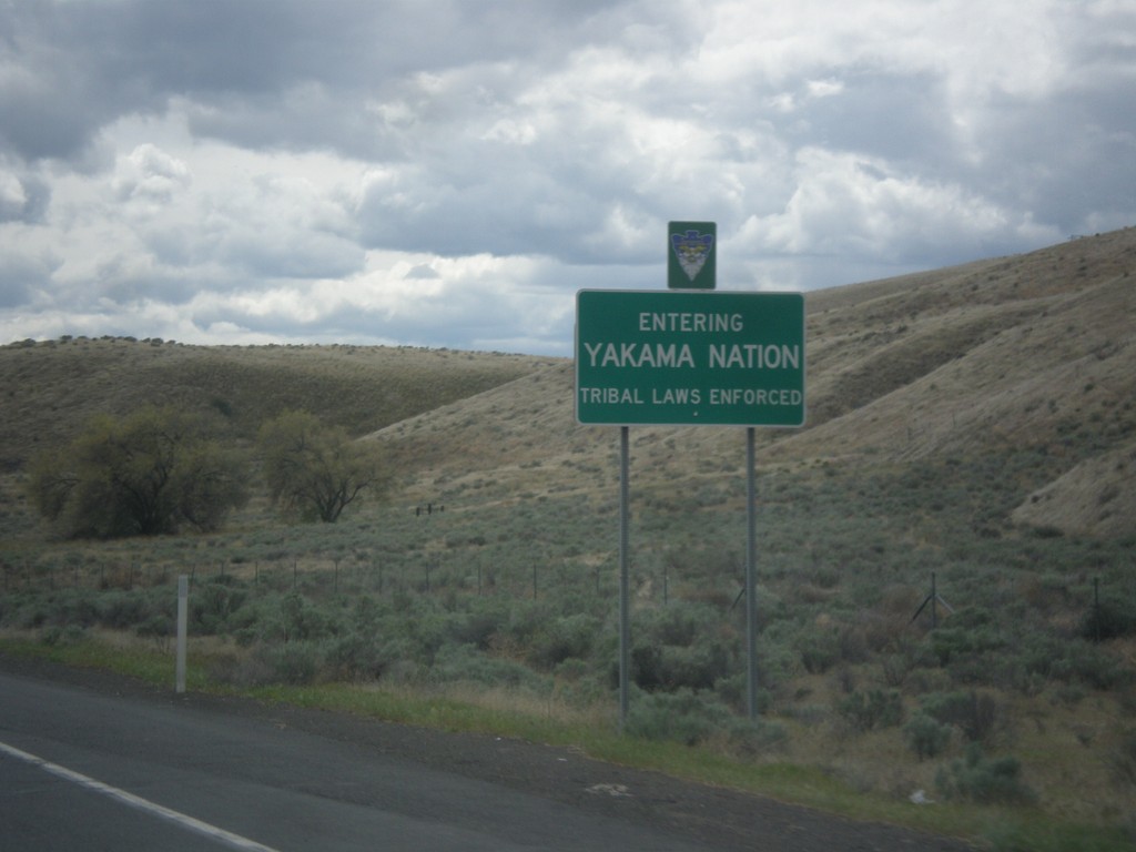
US-97 South - Yakima Nation
Entering the Yakima Nation on US-97 South.
Taken 04-30-2018
 Union Gap
Yakima County
Washington
United States
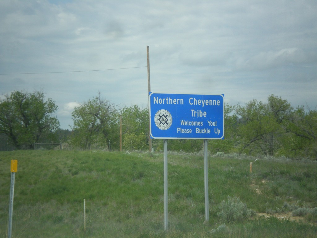
US-212 West - Northern Cheyenne Indian Reservation
US-212 West - Northern Cheyenne Tribe Welcomes You! Please Buckle Up.
Taken 05-15-2016
 Ashland
Rosebud County
Montana
United States
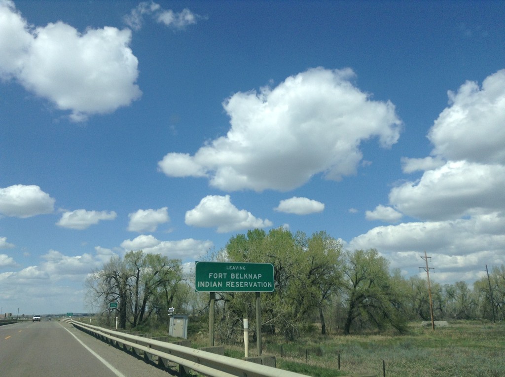
US-2 West - Leaving Fort Belknap Indian Reservation
Leaving Fort Belknap Indian Reservation on US-2 west.
Taken 05-09-2015
 Harlem
Blaine County
Montana
United States
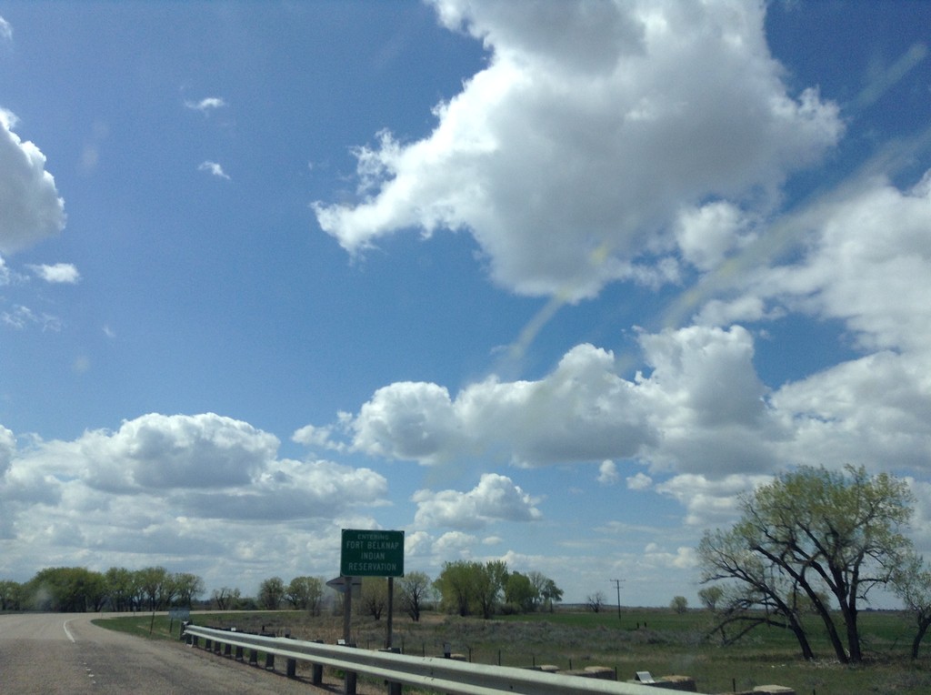
US-2 West - Entering Fort Belknap Indian Reservation
Entering Fort Belknap Indian Reservation on US-2 west.
Taken 05-09-2015
 Dodson
Phillips County
Montana
United States
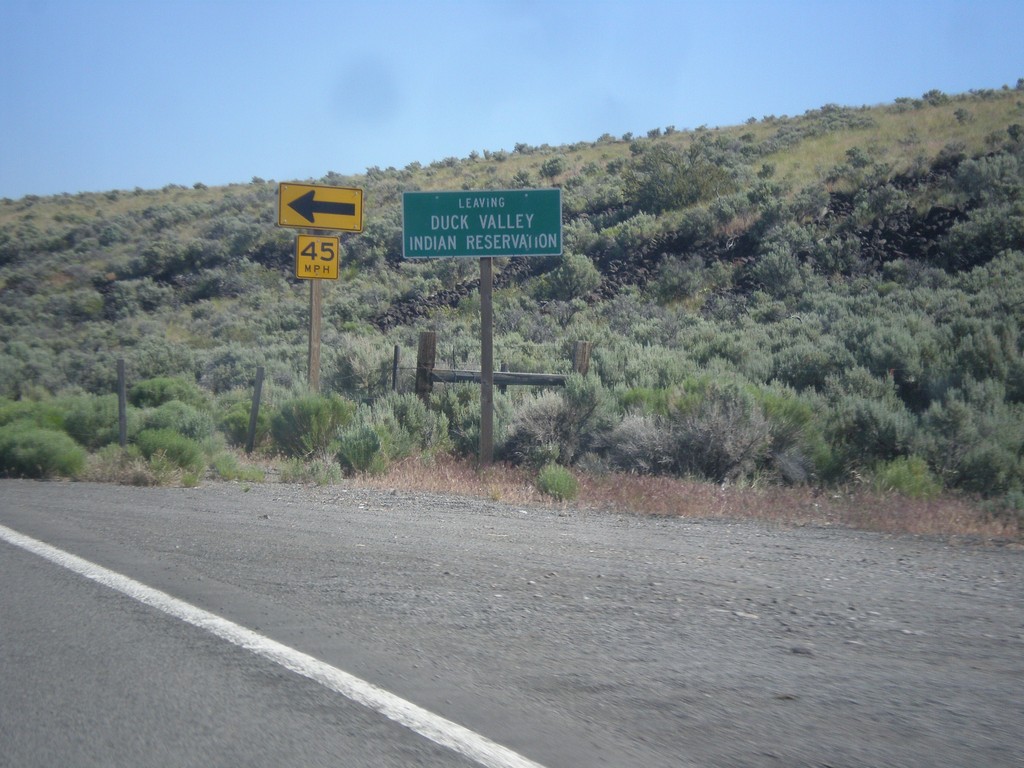
ID-51 North - Leaving Duck Valley Indian Reservation
Leaving the Duck Valley Indian Reservation on ID-51 north.
Taken 06-21-2014
 Bruneau
Owyhee County
Idaho
United States
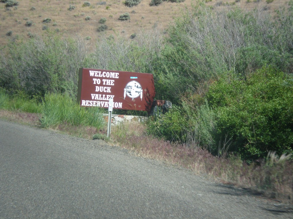
NV-225 North - Entering Duck Valley Reservation
Entering the Duck Valley Indian Reservation on NV-225 north. The Duck Valley Indian Reservation is located on the Idaho-Nevada border and is home to the Shoshone-Paiute Tribe.
Taken 06-21-2014
 Mountain City
Elko County
Nevada
United States
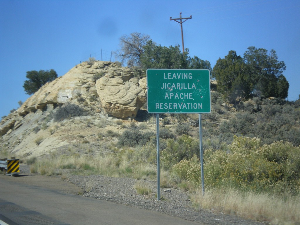
US-550 North - Leaving Jicarilla Apache Reservation
Leaving Jicarilla Apache Reservation on US-550 north.
Taken 10-15-2012
 Counselor
Sandoval County
New Mexico
United States
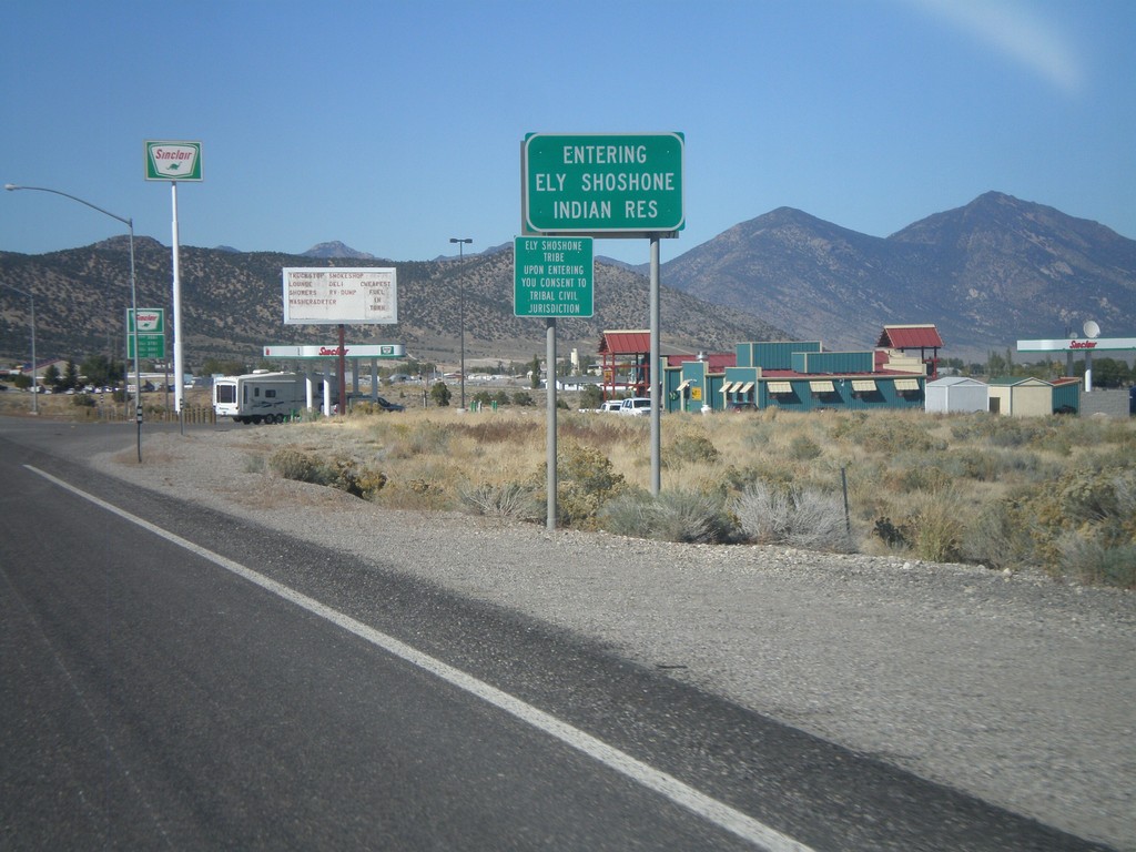
US-93 North - Entering Ely Shoshone Indian Reservation
US-93 North - Entering Ely Shoshone Indian Reservation. The Ely Shoshone Indian Reservation is a small reservation on the outskirts of Ely.
Taken 10-14-2011


 Ely
White Pine County
Nevada
United States
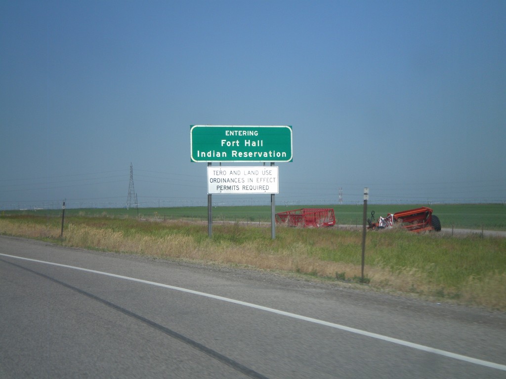
I-86 West - Fort Hall Indian Reservation
Entering the Fort Hall Indian Reservation on I-86 west.
Taken 07-05-2011

 Arbon Valley
Power County
Idaho
United States
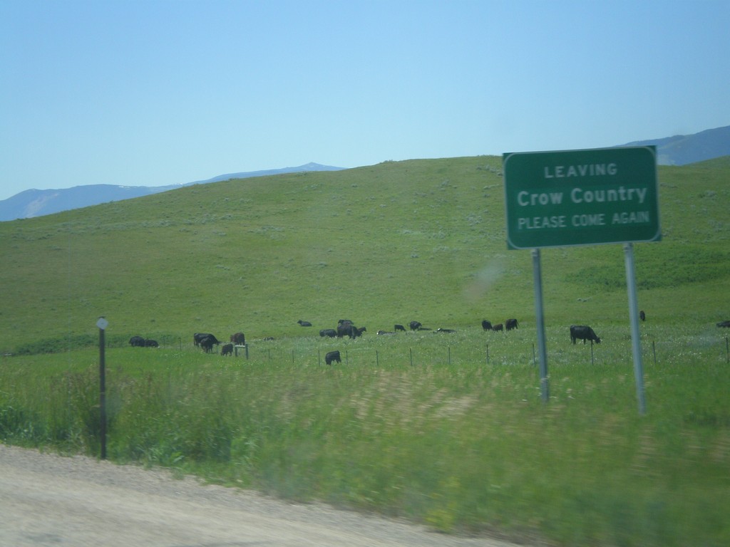
I-90 East - Leaving Crow Country
Leaving the Crow Indian Reservation on I-90 east approaching the Wyoming state line.
Taken 07-03-2011

 Wyola
Big Horn County
Montana
United States
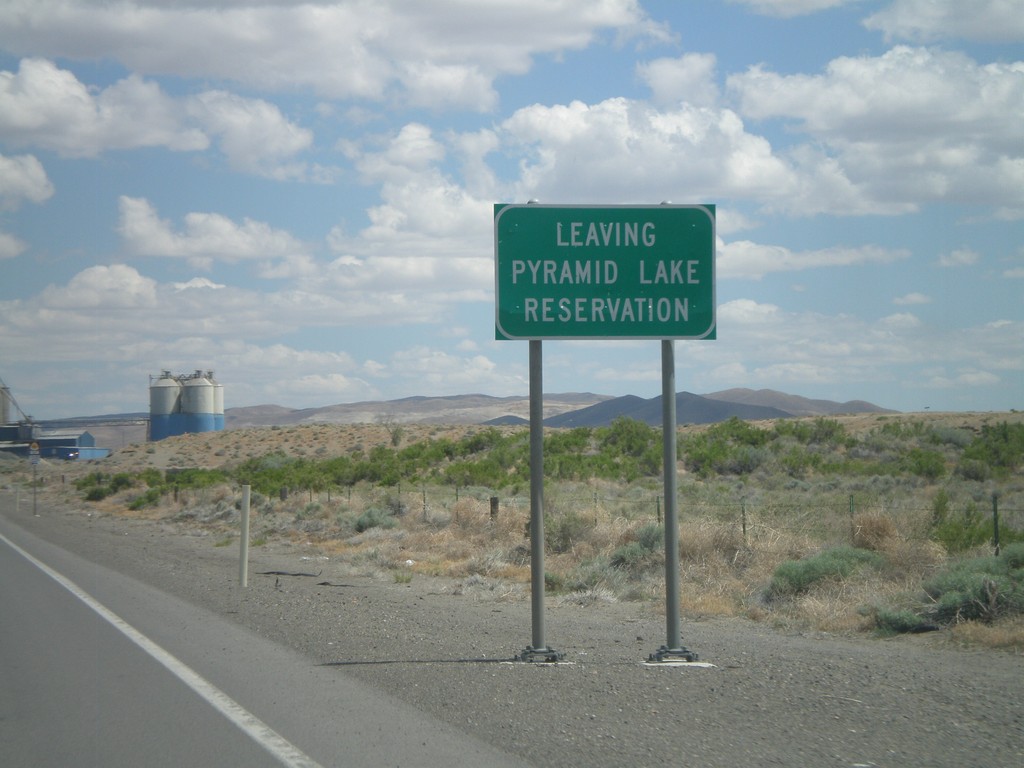
NV-427 South - Leaving Pyramid Lake Indian Reservation
Leaving the Pyramid Lake Indian Reservation on NV-427 south. The Pyramid Lake Indian Reservation is home to the Pyramid Lake Paiute Tribe.
Taken 06-13-2011
 Fernley
Lyon County
Nevada
United States
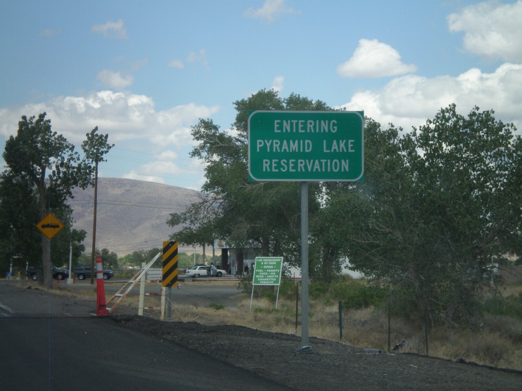
Entering Pyramid Lake Indian Reservation - NV-427 East
Entering Pyramid Lake Indian Reservation on NV-427 East. Pyramid Lake Indian Reservation is home to the Pyramid Lake Paiute Tribe.
Taken 06-13-2011
 Wadsworth
Washoe County
Nevada
United States
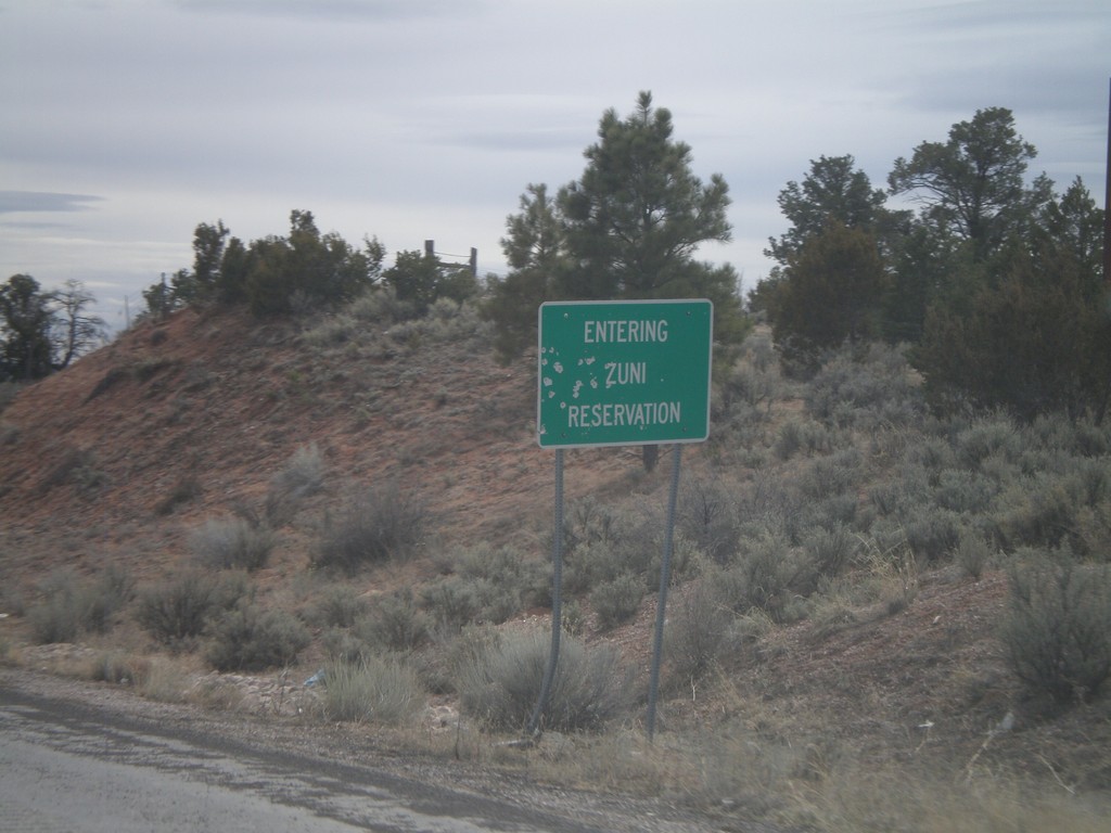
NM-602 South - Entering Zuni Reservation
Entering Zuni Reservation on NM-602 south.
Taken 02-24-2011
 Vanderwagen
McKinley County
New Mexico
United States
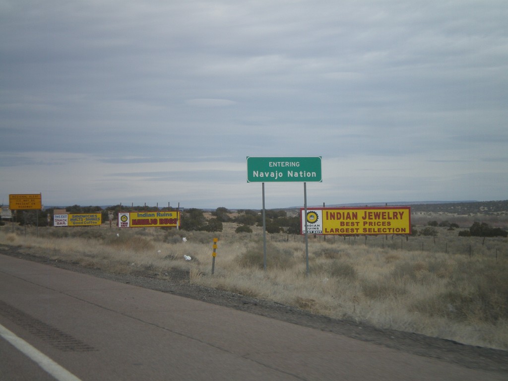
I-40 East - Entering Navajo Nation
Entering the Navajo Nation on I-40 east.
Taken 02-24-2011
 Sanders
Apache County
Arizona
United States
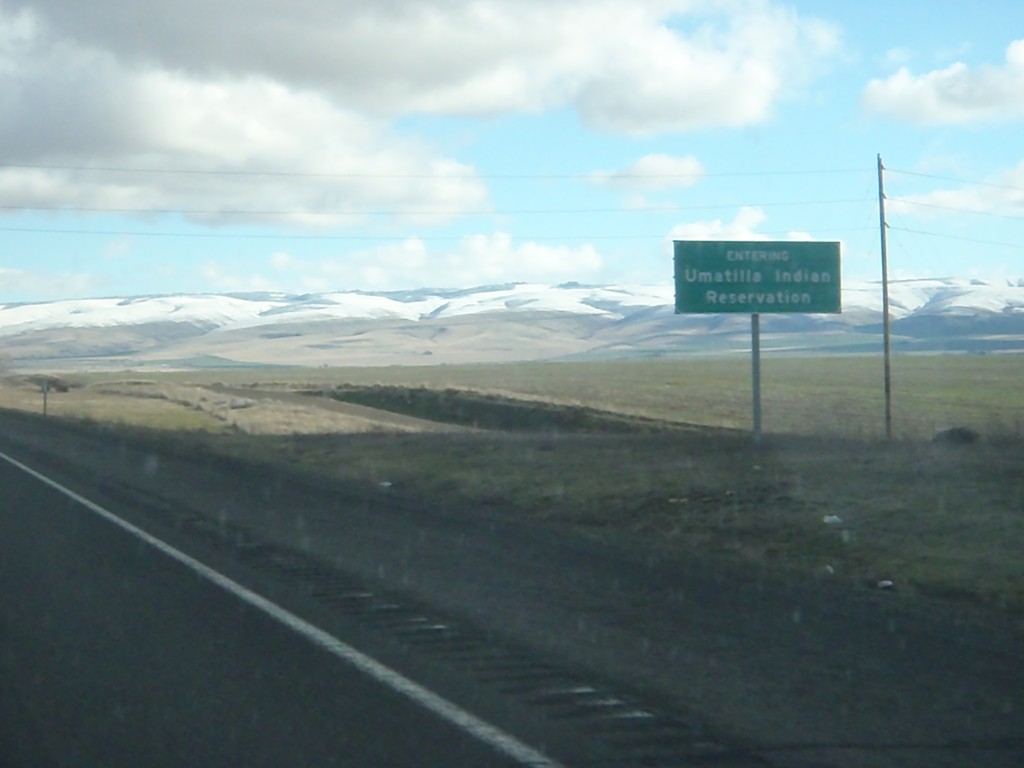
I-84 East - Umatilla Indian Reservation
Entering the Umatilla Indian Reservation on I-84 east.
Taken 01-19-2011
 Pendleton
Umatilla County
Oregon
United States
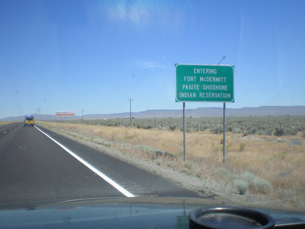
US-95 North - Entering Fort McDermitt Indian Reservation
Entering Fort McDermitt Paiute-Shoshone Indian Reservation on US-95 north.
Taken 07-13-2010
 McDermitt
Humboldt County
Nevada
United States
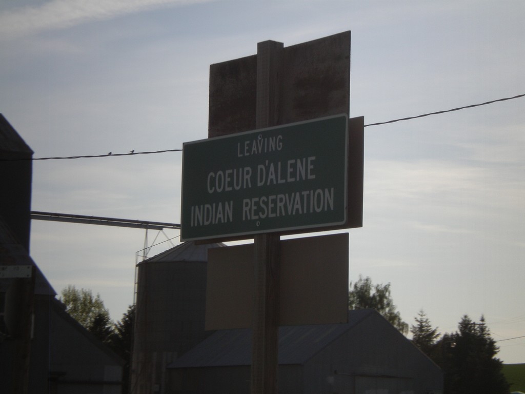
Leaving Coeur d'Alene Indian Reservation
Leaving the Coeur d’Alene Indian Reservation on ID-60 west at the Idaho-Washington State Line.
Taken 05-22-2009
 Plummer
Benewah County
Idaho
United States
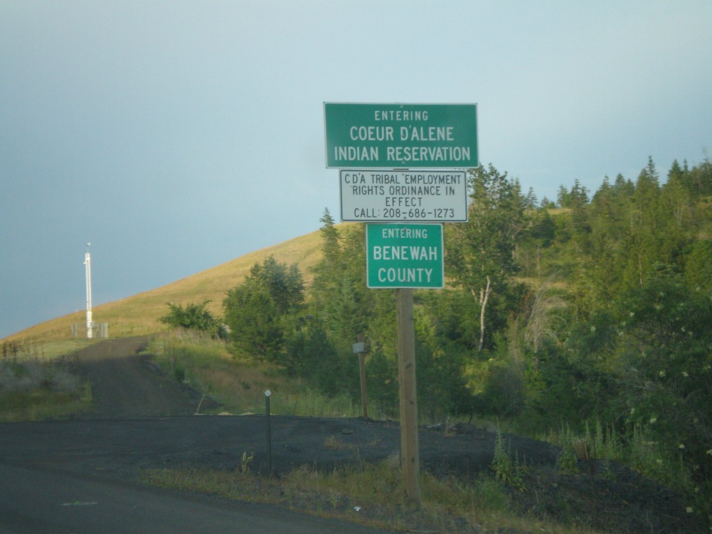
US-95 North - Benewah County and Coeur d'Alene Indian Res.
US-95 north - Entering Benewah County and Coeur d’Alene Indian Reservation.
Taken 07-13-2007
 De Smet
Benewah County
Idaho
United States
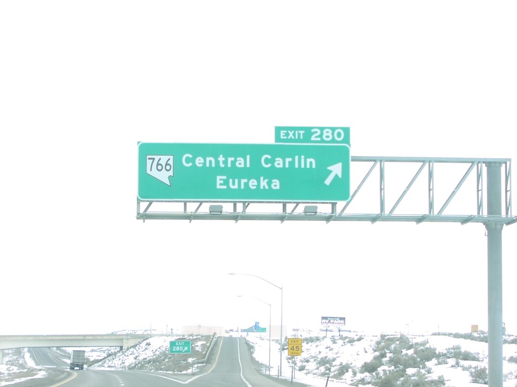
I-80 West Exit 280
I-80 east at Exit 280 - NV-766/Central Carlin/Eureka interchange in Carlin.
Taken 02-01-2005

 Carlin
Elko County
Nevada
United States