Signs Tagged With International Boundary
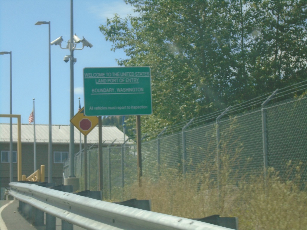
Welcome To The United States - Port of Boundary
Welcome to the United States - Land Port of Entry - Boundary, Washington. Approaching border station on Northport-Waneta Road southbound.
Taken 07-27-2023
Colville Stevens County Washington United States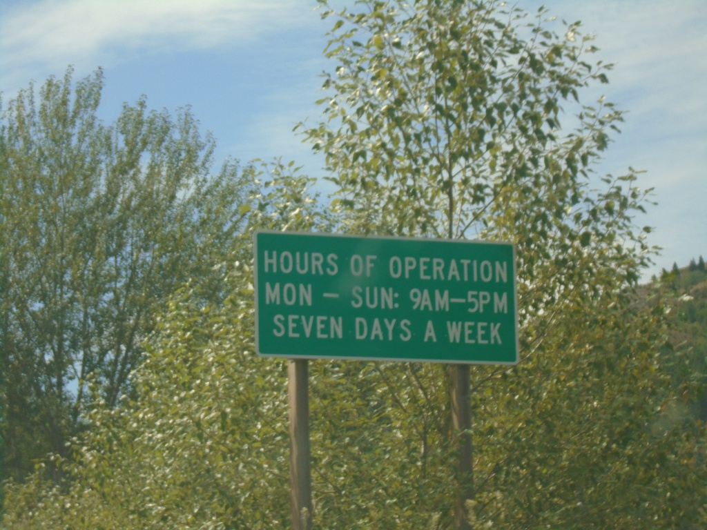
Entering United States - Port of Boundary
Entering the United States at the Port of Boundary. Hours of Operation Mon-Sun 9AM-5PM - Seven Days a Week. The actual port facilities are about a quarter mile to the south up a hill.
Taken 07-27-2023
Colville Stevens County Washington United States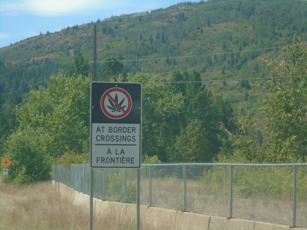
BC-22A South - No Cannabis at Border Crossings
BC-22A South - Bilingual No Cannabis at Border Crossings sign approaching US/Canada border. While Cannabis is legal in Canada, and legal in the US State of Washington on the other side of the border, it is illegal at the US federal level.
Taken 07-27-2023
 Trail
Kootenay Boundary
British Columbia
Canada
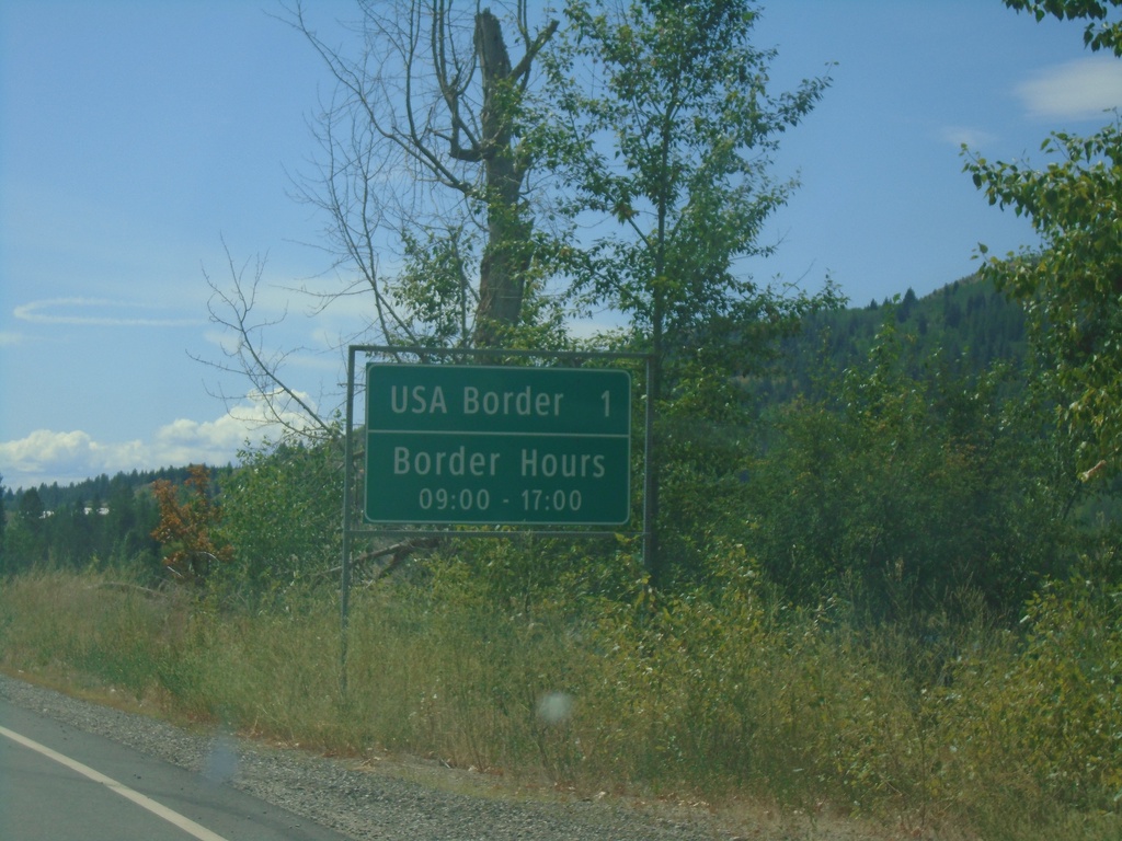
BC-22A South - Distance Marker
Distance marker on BC-22A south. USA Border 1km - Border Hours 09:00 - 17:00. Approaching Port of Waneta (Canada) and Port of Boundary (US).
Taken 07-27-2023
 Trail
Kootenay Boundary
British Columbia
Canada
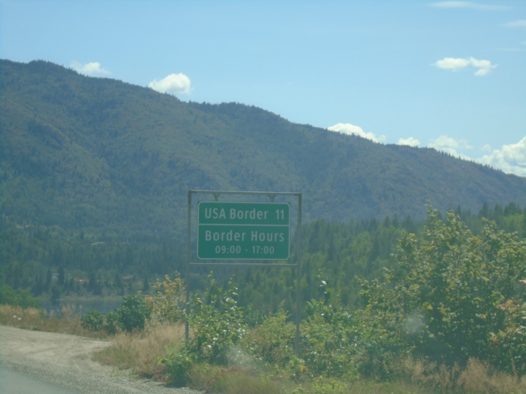
BC-22A South - Distance Marker
Distance marker on BC-22A south. Distance to USA Border. Border hours at Port of Boundary are 09:00 to 17:00.
Taken 07-27-2023
 Trail
Kootenay Boundary
British Columbia
Canada
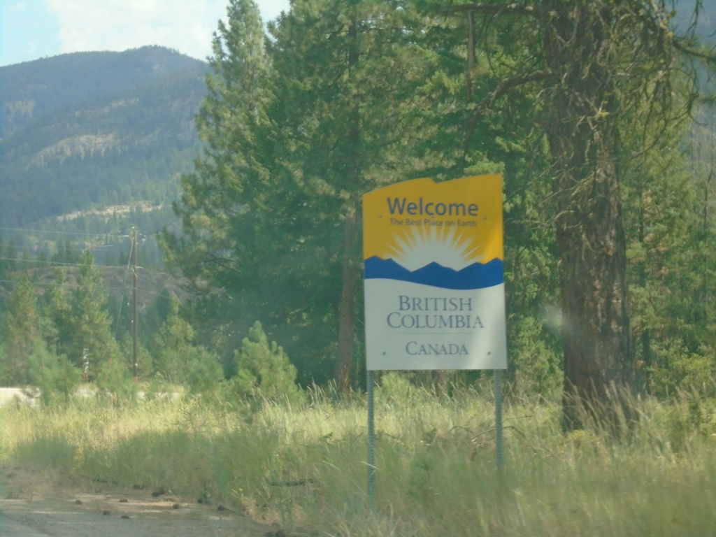
BC-395 - Welcome To British Columbia
Welcome to British Columbia Canada on BC-395 North. Taken just north of the US/Canada border.
Taken 07-24-2023
 Christina Lake
Kootenay Boundary
British Columbia
Canada
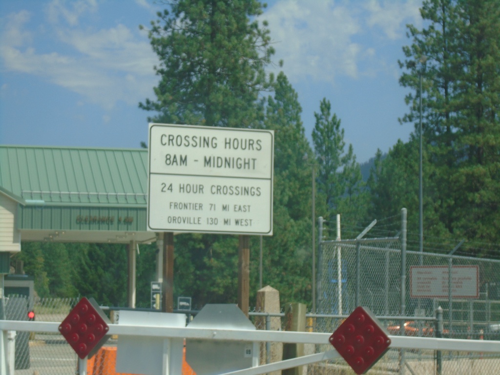
End US-395 North at the Canada Border
End US-395 North at the Canada Border. The fence in the background marks the border. The border crossing hours are 8AM to Midnight. Neighboring 24 hour ports of entry are listed - Port of Frontier (via WA-25) and Port of Oroville (via US-97).
Taken 07-24-2023
 Laurier
Ferry County
Washington
United States
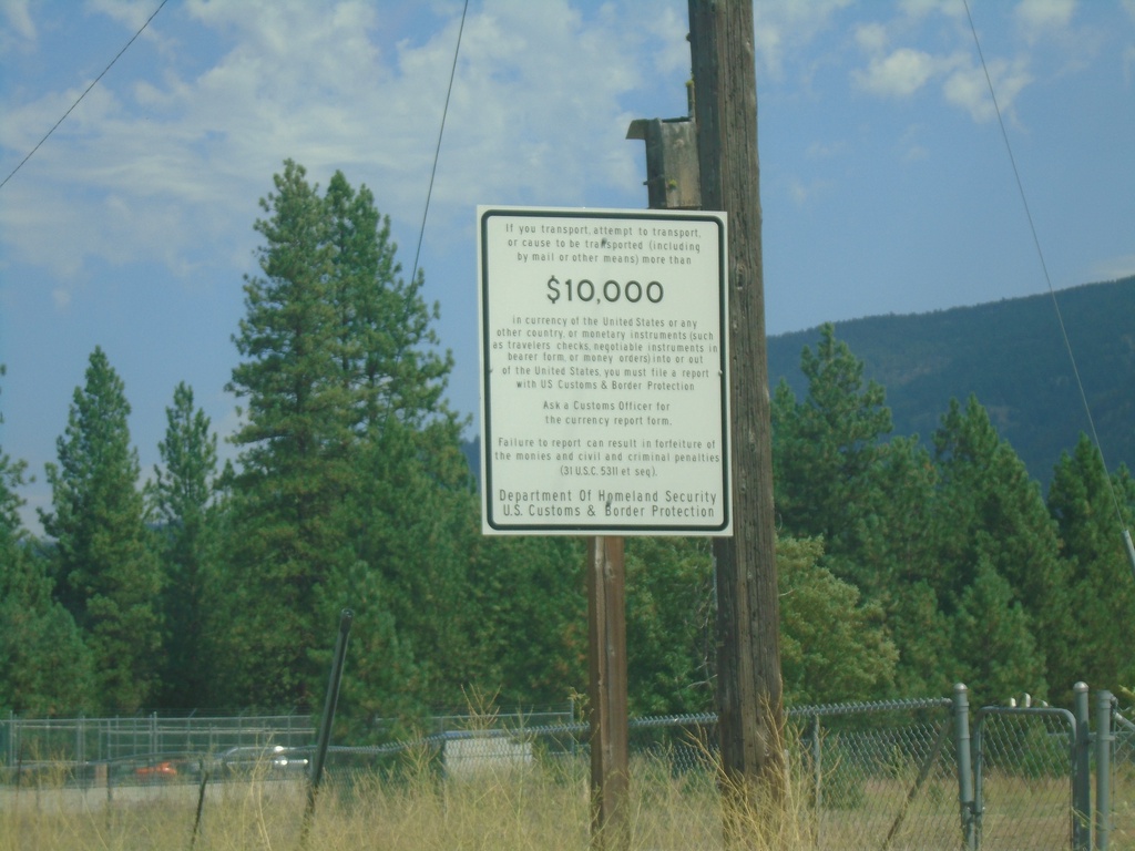
US-395 North - Currency Export Information
Information about exporting over $10,000 USD in currency - approaching the US/Canada Border.
Taken 07-24-2023
 Laurier
Ferry County
Washington
United States
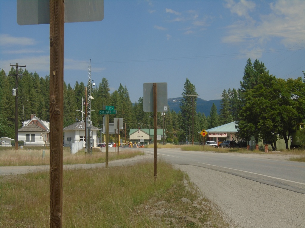
End of US-395 North at the US/Canada Border
End of US-395 North at the US/Canada Border. The Port of Laurier on the United States side is to the left; the Port of Cascade on the Canadian side is straight ahead.
Taken 07-24-2023
 Laurier
Ferry County
Washington
United States
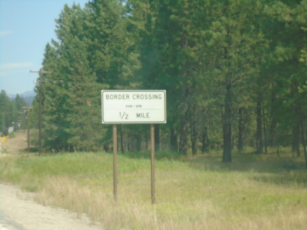
US-395 North - Border Crossing
US-395 north approaching Border Crossing. Hours 8AM - 8PM. The United States side is Port of Laurier, the Canadian side is Port of Cascade.
Taken 07-24-2023
 Laurier
Ferry County
Washington
United States
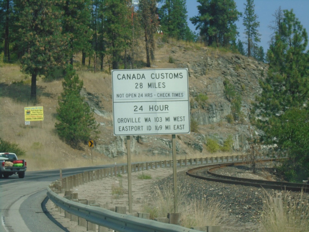
US-395 North - Border Crossing Hours
Border Crossing information on US-395 North. Port of Laurier on US-395 north is not a 24 hour port of entry. For 24 hour port of entries, use Port of Oroville (to the west on US-97) or Port of Eastport, Idaho (to the east on US-95). This sign is typical on highways leading to ports of entry not open 24 hours in Washington.
Taken 07-24-2023
 Kettle Falls
Ferry County
Washington
United States
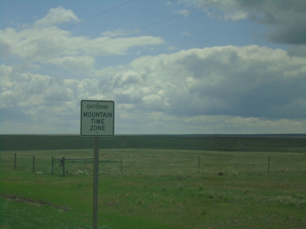
MTS-233 South - Entering Mountain Time Zone
Entering Mountain Time Zone on MTS-233 south. Taken south of the US/Canada boundary.
Taken 05-13-2023
 Havre
Hill County
Montana
United States
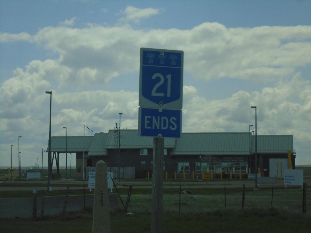
End SK-21 South at United States Boundary
End SK-21 South at the United States Boundary. The Port of Willow Creek US border station is in the background. The stone obelisk marking the boundary is behind and to the left of the SK-21 marker.
Taken 05-13-2023
 Willow Creek
Reno No. 51
Saskatchewan
Canada
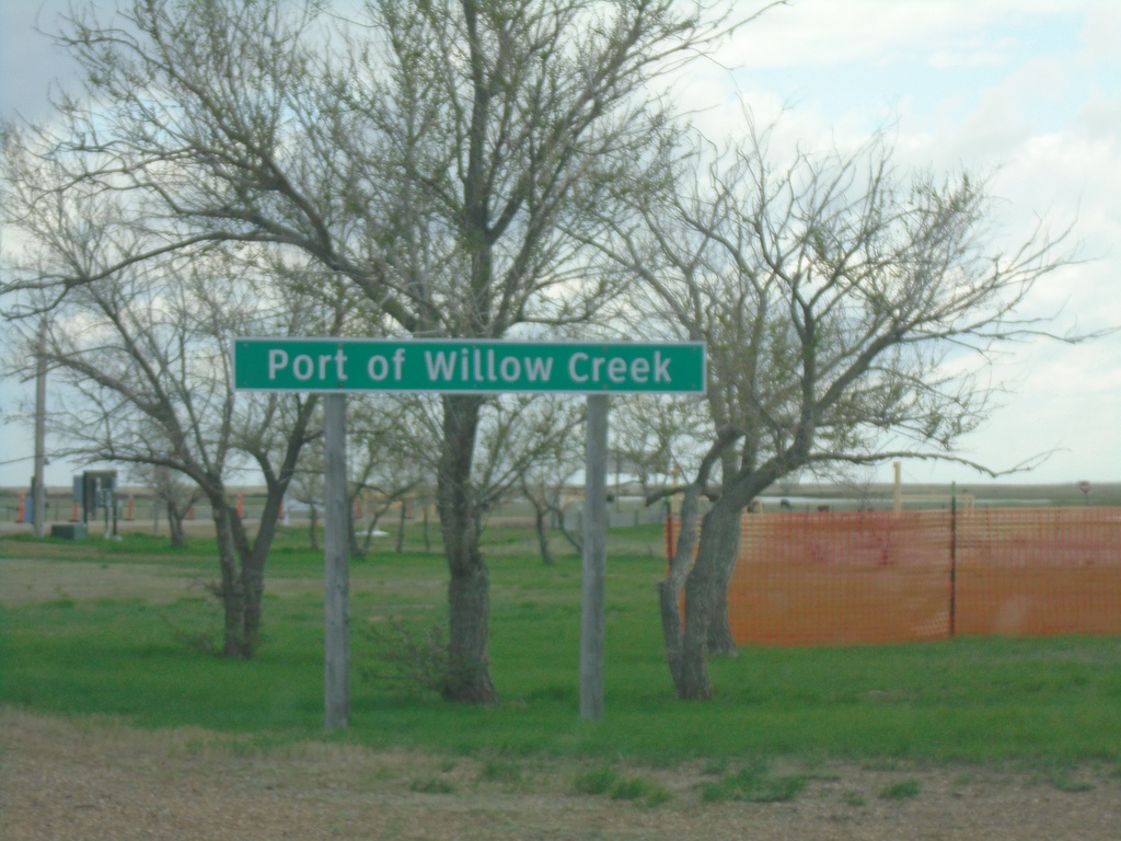
SK-21 South - Port of Willow Creek
Entering Port of Willow Creek on SK-21 southbound. Port of Willow Creek is the name of the port of entry on both sides of the United States and Canada border.
Taken 05-13-2023
 Willow Creek
Reno No. 51
Saskatchewan
Canada
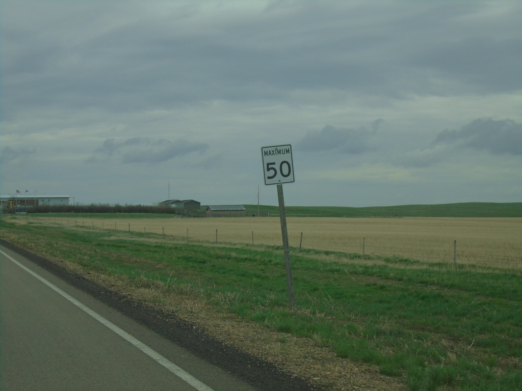
SK-4 South - Maximum 50 km/h
SK-4 South - Maximum 50 km/h approaching US Border - Port of Morgan.
Taken 05-13-2023
 Orkney
Val Marie No. 17
Saskatchewan
Canada
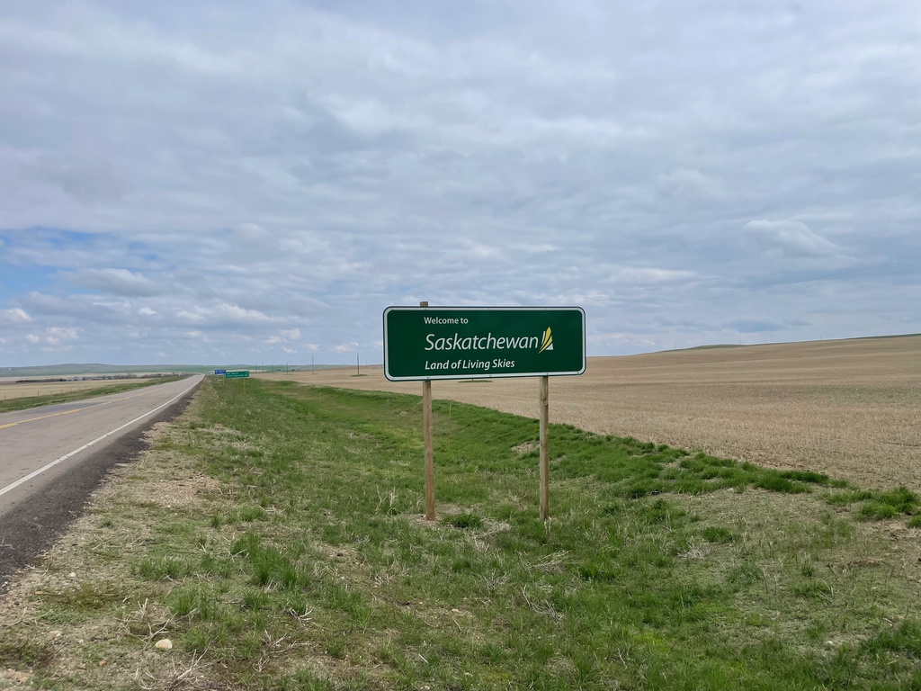
SK-4 North - Welcome to Saskatchewan
Welcome to Saskatchewan - Land of the Living Skies on SK-4 North. Taken at the exit to the Port of Monchy.
Taken 05-13-2023
 Orkney
Val Marie No. 17
Saskatchewan
Canada
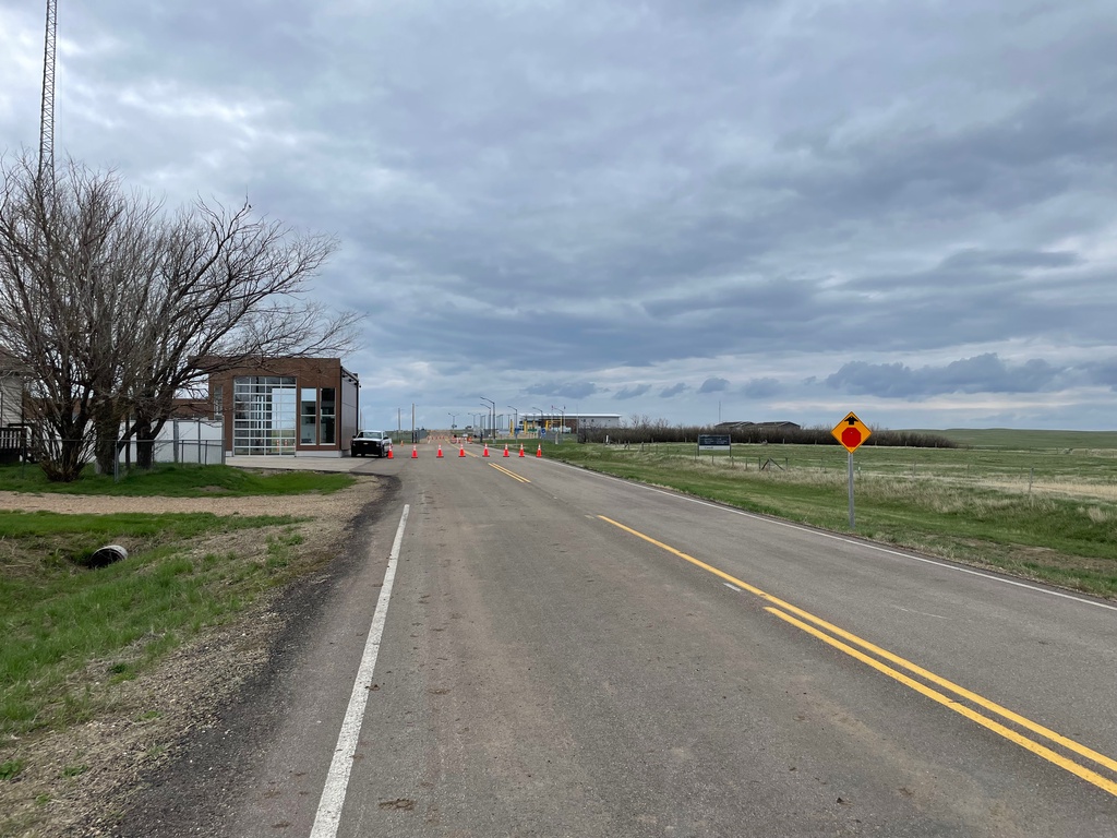
SK-4 South - Stop Ahead
SK-4 South approaching Port of Morgan at the US/Canada Border. Both Ports of Entry are closed when this was taken, because it was on a weekend. Canada Port of Monchy building is on the left side, the US Port of Morgan buildings are in the background.
Taken 05-13-2023
 Monchy
Val Marie No. 17
Saskatchewan
Canada
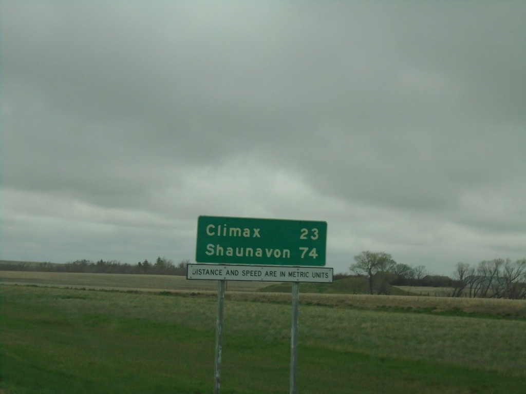
SK-37 North - Distance Marker
Distance marker on SK-37 north. Distance to Climax and Shaunavon. Distances and Speed are in Metric Units.
Taken 05-12-2023
 Frontier
Lone Tree No. 18
Saskatchewan
Canada
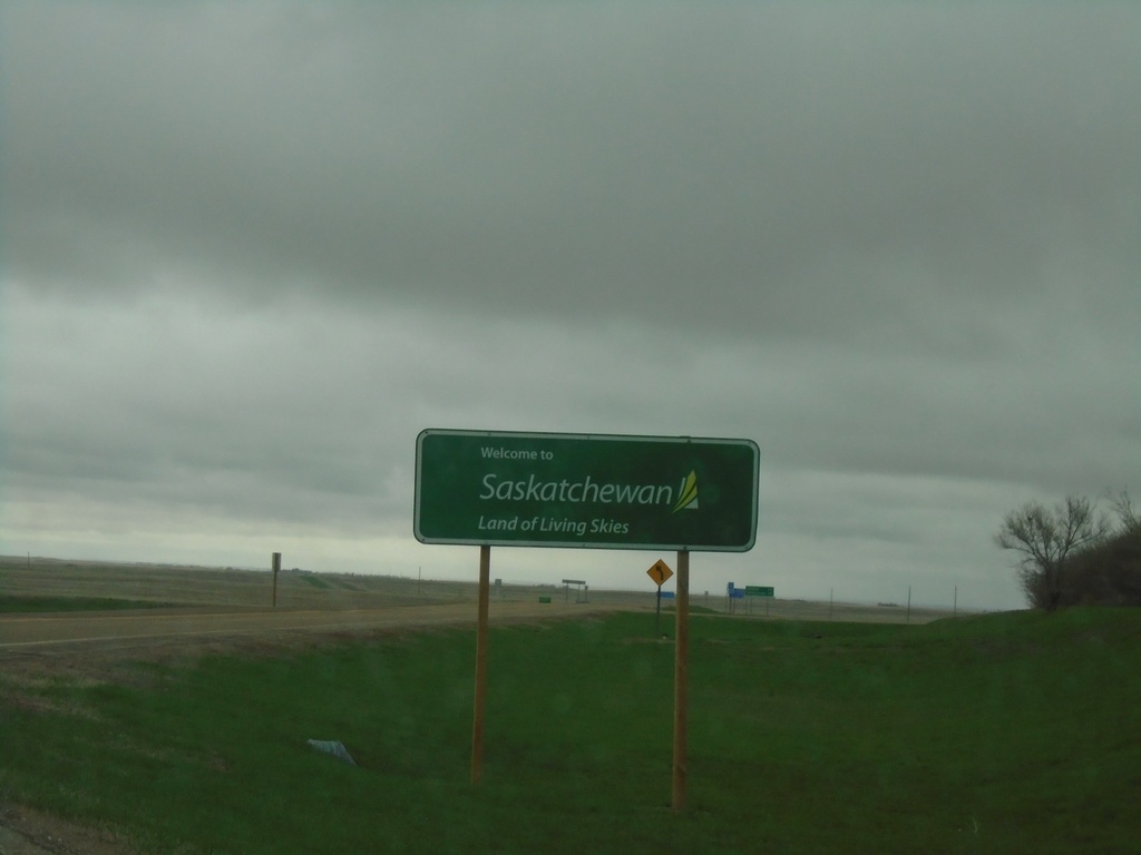
SK-37 North - Welcome to Saskatchewan
Welcome to Saskatchewan - Land of the Living Skies on SK-37 North.
Taken 05-12-2023
 Frontier
Lone Tree No. 18
Saskatchewan
Canada
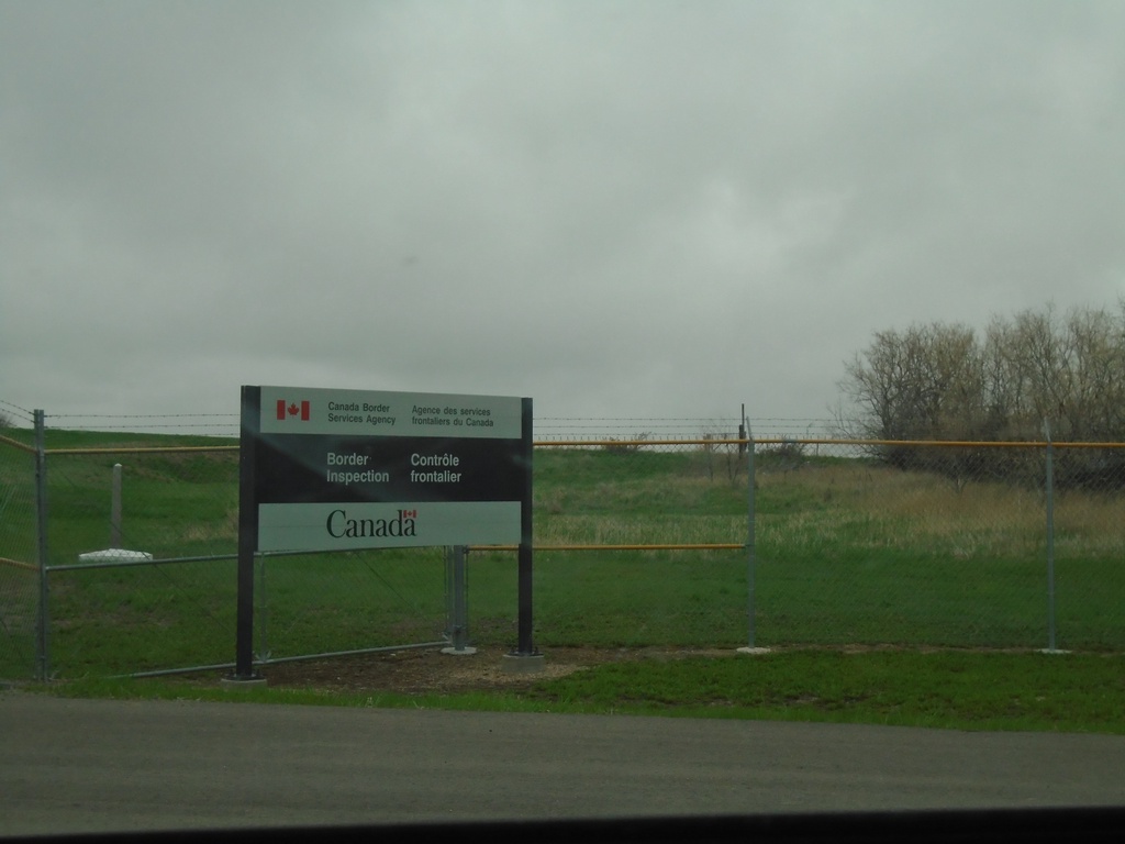
End MTS-241 North at Canadian Border
Approaching Canada Customs (Port of Climax) at north end of MTS-241 North. The Port of Turner (US)/Port of Climax(Canada) facility is a joint inspection station. The advance signage for the border inspection is on the United States side of the border. The white border marker in the background of the photo indicates the actual border.
Taken 05-12-2023
 Turner
Blaine County
Montana
United States
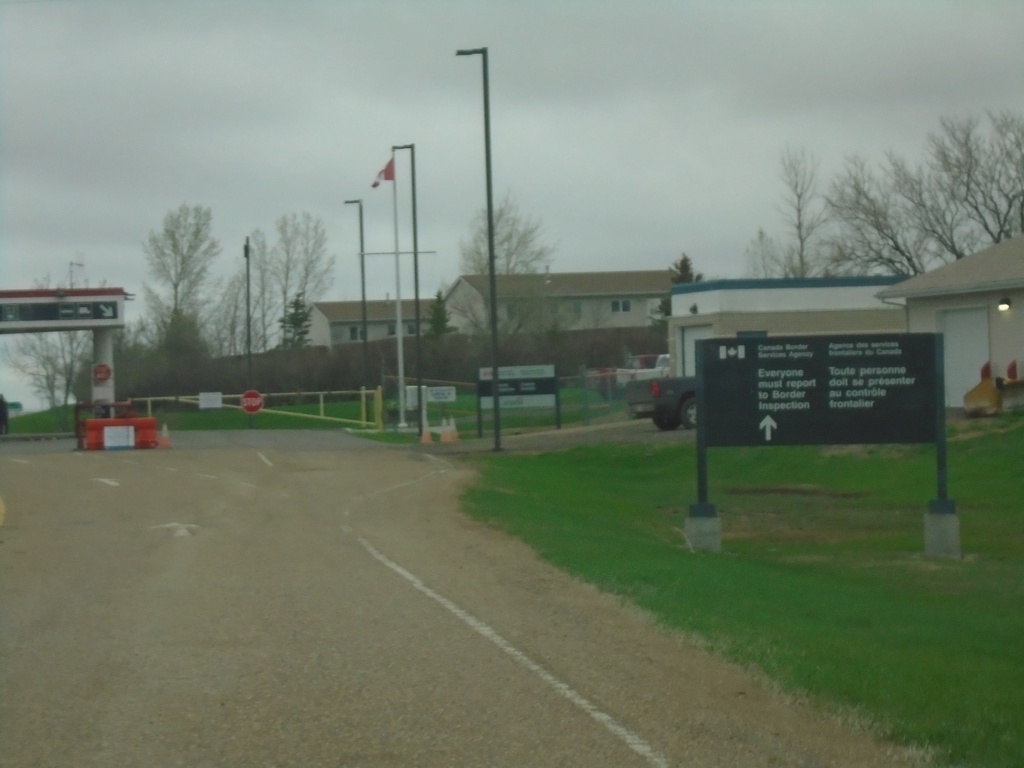
MTS-241 Approaching Canadian Border
Approaching Canadian Border at Port of Climax on MTS-241 north. Port of Turner (US) and Port of Climax (Canada) are in a shared building. The actual border is at the gate in the background of the photo.
Taken 05-12-2023
 Hogeland
Blaine County
Montana
United States
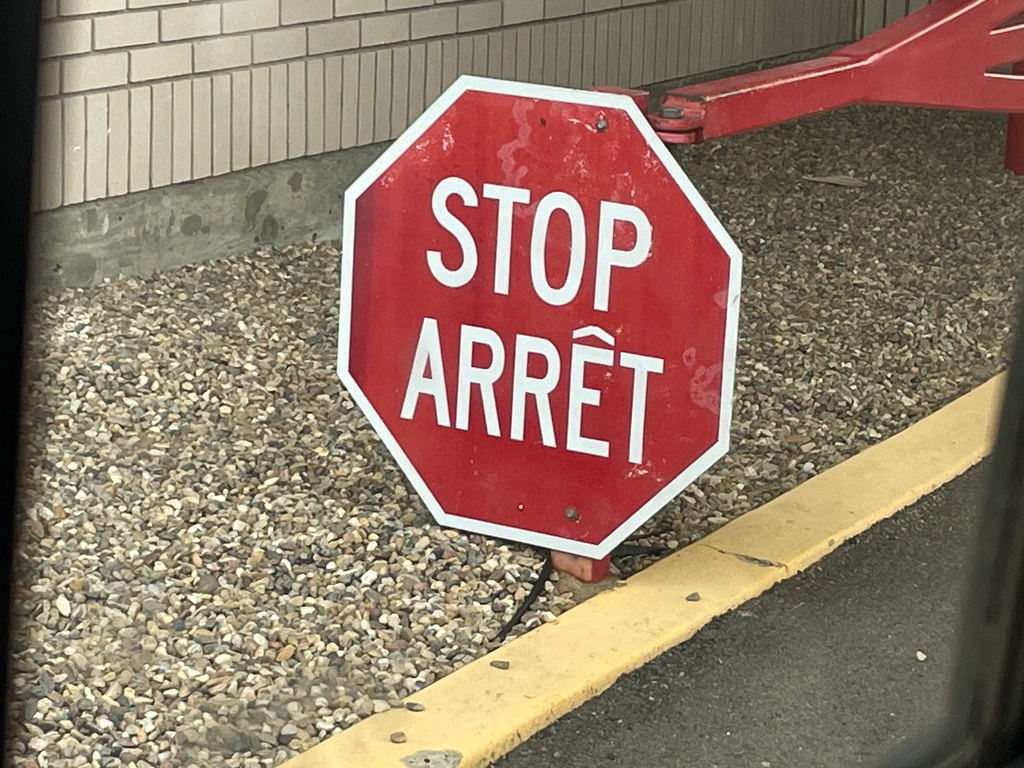
Stop Sign at Canada Customs Inspection
Stop/Arrêt Sign at Canada Customs Inspection at the Port of Climax at the beginning of SK-37.
Taken 05-12-2023
 Frontier
Lone Tree No. 18
Saskatchewan
Canada
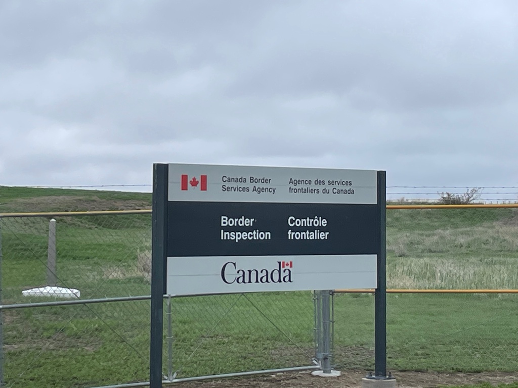
End MTS-241 North at Canadian Border
Approaching Canada Customs (Port of Climax) at north end of MTS-241 North. The Port of Turner (US)/Port of Climax(Canada) facility is a joint inspection station. The advance signage for the border inspection is on the United States side of the border. The white border marker in the background of the photo indicates the actual border.
Taken 05-12-2023
 Turner
Blaine County
Montana
United States
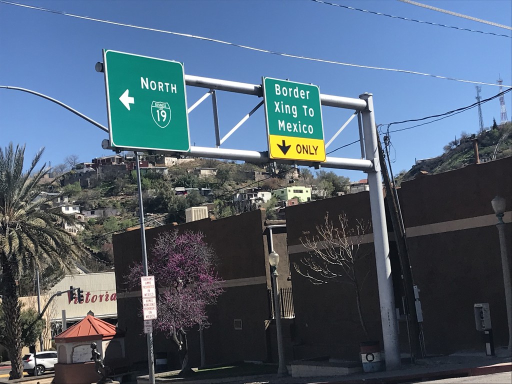
End I-19 South at BL-19/Grand Ave.
End I-19 South at BL-19/Grand Ave. in Nogales. Turn left for BL-19/Grand Ave. North. Turn right for Grand Ave. South Border Crossing to Mexico.
Taken 03-23-2019

 Nogales
Santa Cruz County
Arizona
United States
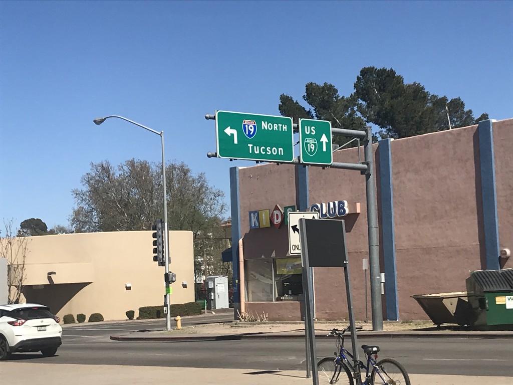
Grand Ave. North at Begin of I-19
Grand Ave. North at Begin of I-19 just north of Mexican border. Turn left for I-19 North to Tucson; continue straight for BL-19/Grand Ave. North.
Taken 03-23-2019

 Nogales
Santa Cruz County
Arizona
United States