Signs Tagged With Municipality Boundary
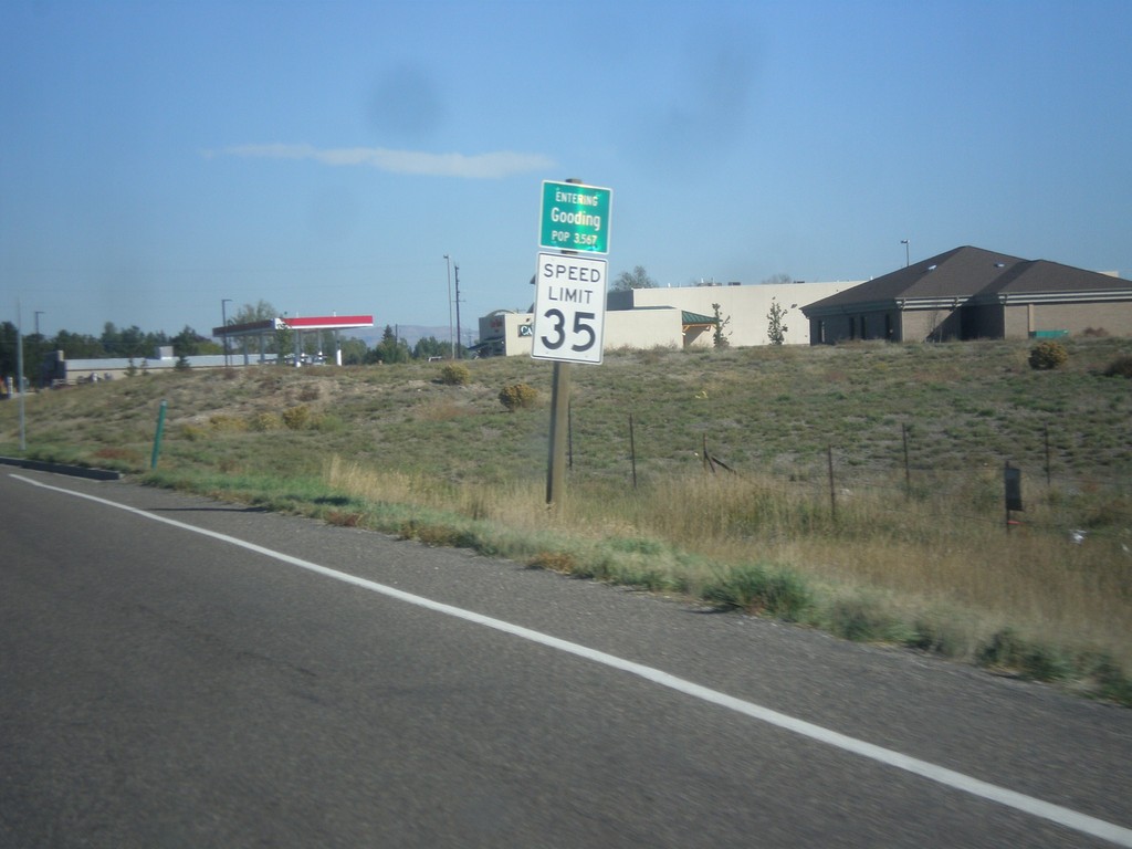
ID-46 North - Entering Gooding
Entering Gooding on ID-46 north. Gooding is the county seat of Gooding County.
Taken 10-04-2014
 Gooding
 County
Idaho
United States
Gooding
Gooding County
Idaho
United States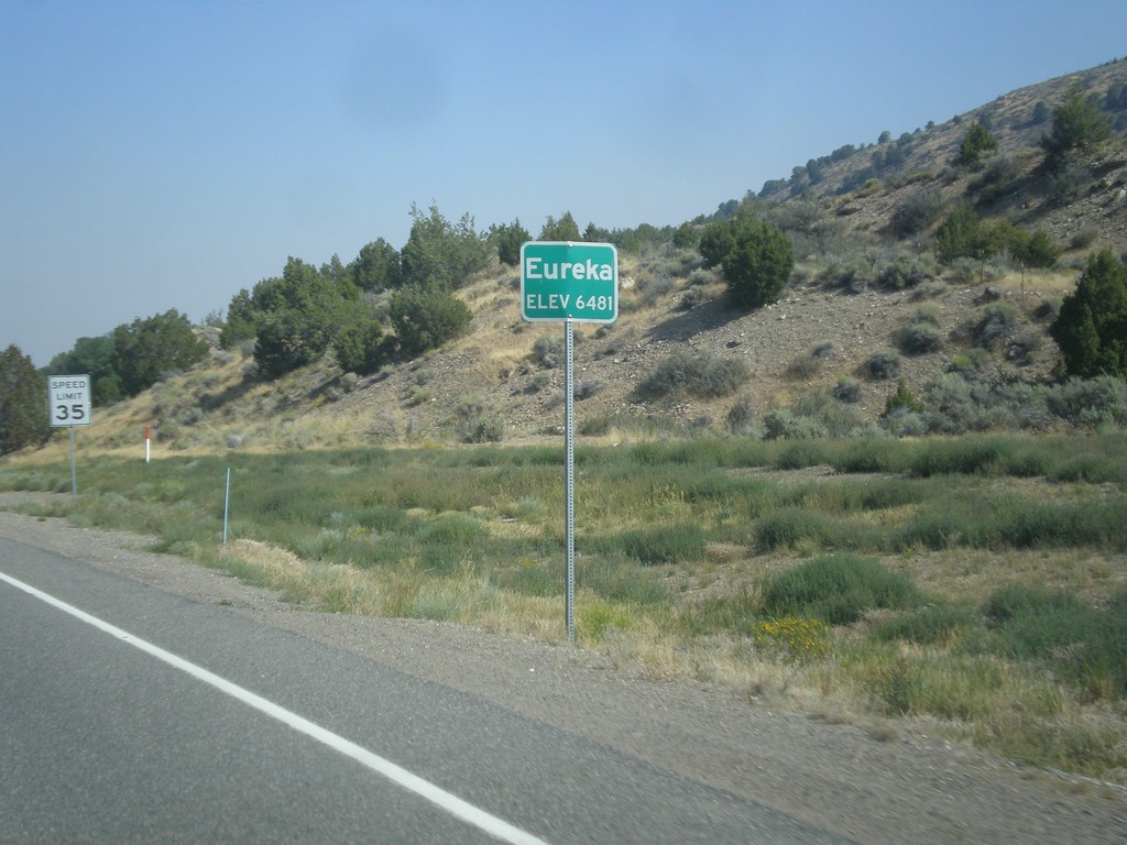
US-50 West - Eureka
Entering Eureka on US-50 west. Eureka is the county seat of Eureka County, Nevada.
Taken 08-31-2014
 Eureka
 County
Nevada
United States
Eureka
Eureka County
Nevada
United States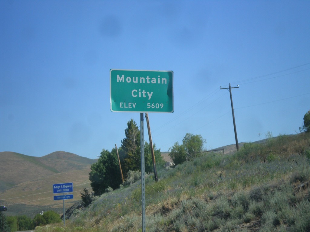
NV-225 North - Mountain City
Entering Mountain City on NV-225 North. Elevation 5,609 Feet.
Taken 06-21-2014
 Mountain City
Elko County
Nevada
United States
Mountain City
Elko County
Nevada
United States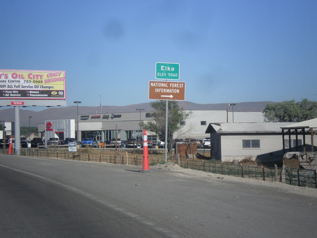
NV-227 West - Entering Elko
Entering Elko on NV-227 West. Elevation 5,060.
Taken 06-21-2014
 Elko
Elko County
Nevada
United States
Elko
Elko County
Nevada
United States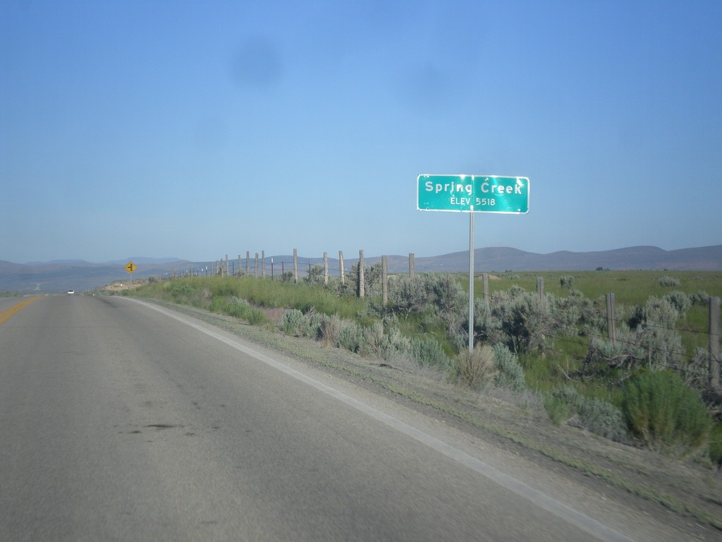
Spring Creek - Elevation 5518
Entering Spring Creek - Elevation 5518 on NV-227 west.
Taken 06-21-2014
Spring Creek
Elko County
Nevada
United States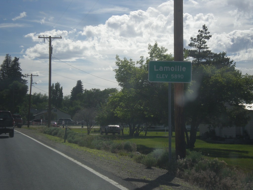
Lamoille - Elevation 5,890
Entering Lamoille on NV-227 south.
Taken 06-21-2014
Lamoille
Elko County
Nevada
United States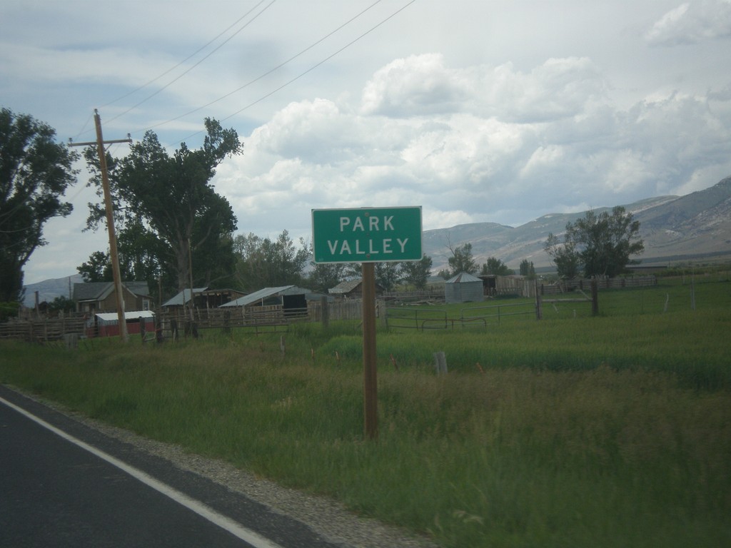
UT-30 West - Park Valley
Entering Park Valley on UT-30 west. Park Valley is a tiny community with not much more than a school and post office.
Taken 06-21-2014
 Park Valley
Box Elder County
Utah
United States
Park Valley
Box Elder County
Utah
United States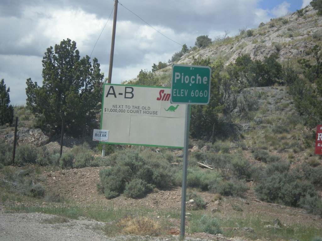
Bus. US-93/NV-321 - Pioche
Entering Pioche on Bus. US-93/NV-321 north. Pioche is the county seat of Lincoln County.
Taken 05-21-2014

 Pioche
Lincoln County
Nevada
United States
Pioche
Lincoln County
Nevada
United States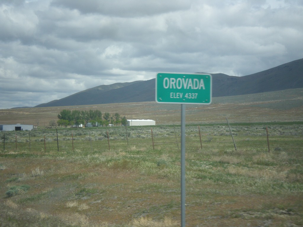
US-95 North - Orovada
Orovada - Elevation 4337 on US-95 north.
Taken 05-06-2014
 Winnemucca
Humboldt County
Nevada
United States
Winnemucca
Humboldt County
Nevada
United States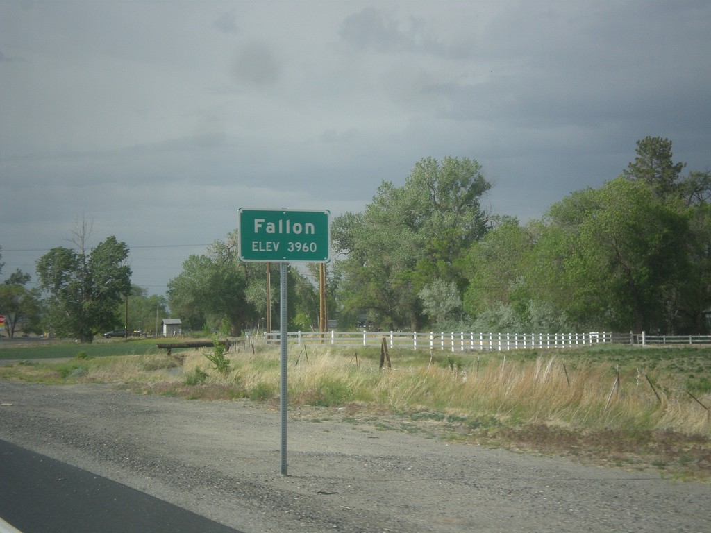
US-95 North - Fallon
Fallon - Elevation 3960 on US-95 north.
Taken 05-05-2014
Fallon
Churchill County
Nevada
United States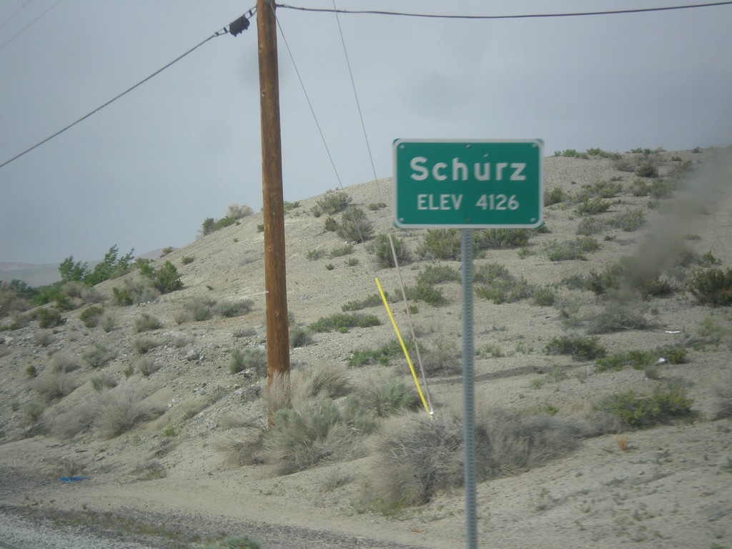
US-95 North - Schurz
Schurz - Elevation 4,126 on US-95 north. Schurz is home to the Walker River Paiute Tribe.
Taken 05-05-2014
Schurz
Mineral County
Nevada
United States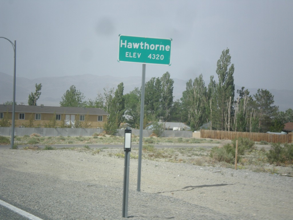
NV-359 North - Hawthorne
Hawthorne - Elevation 4,320 Feet on NV-359 North.
Taken 05-05-2014
 Hawthorne
Mineral County
Nevada
United States
Hawthorne
Mineral County
Nevada
United States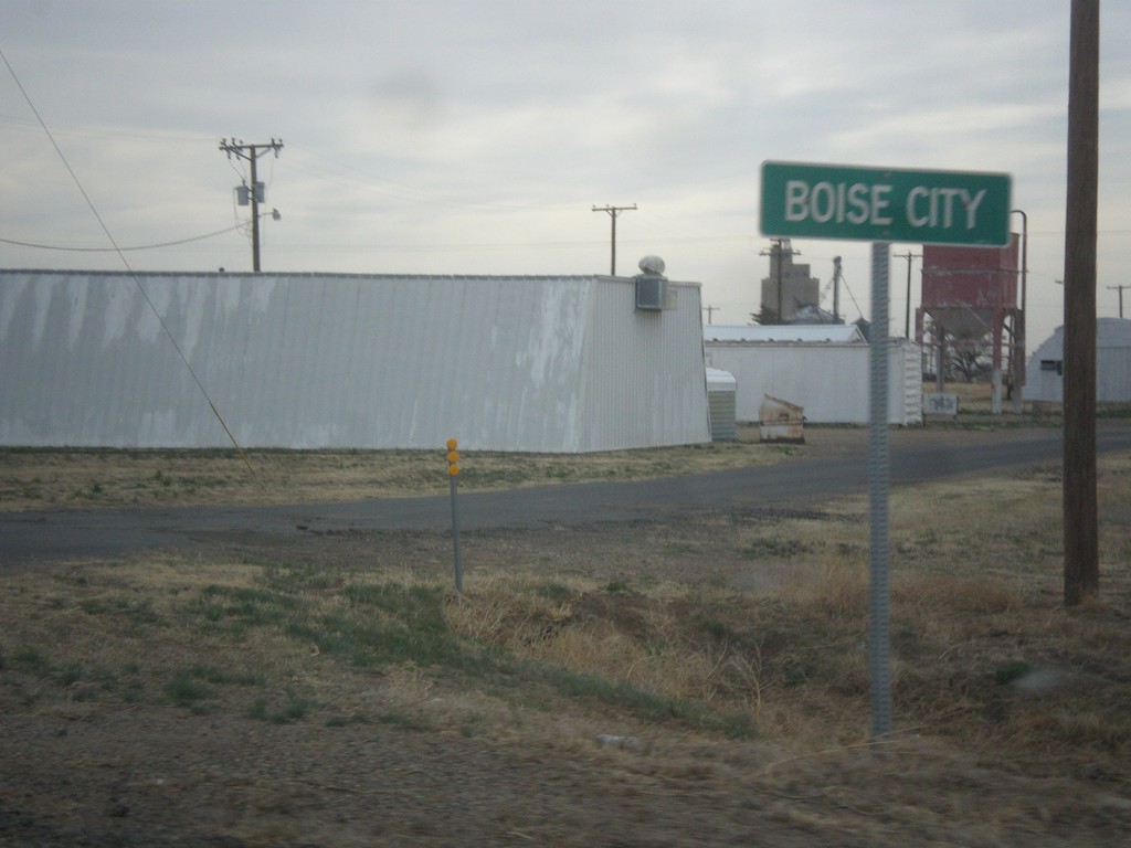
US-56/US-64/US-412 East/US-385 North - Boise City
Entering Boise City on US-56/US-64/US-412 East/US-385 North.
Taken 03-30-2014


 Boise City
Cimarron County
Oklahoma
United States
Boise City
Cimarron County
Oklahoma
United States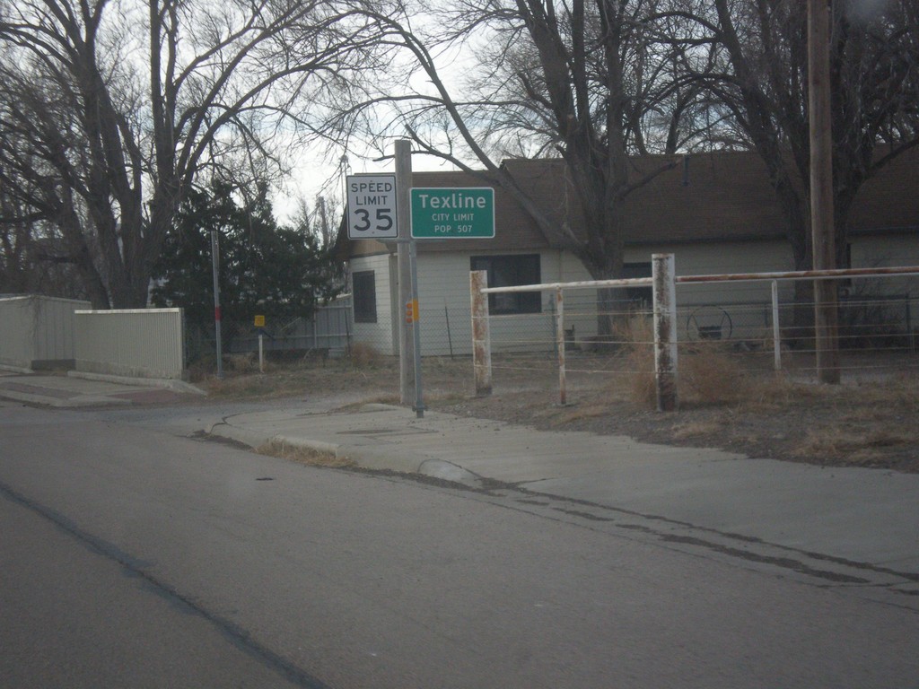
US-87 South - Texline City Limit
Texline City Limit on US-87 south. Texline is right on the New Mexico - Texas line.
Taken 03-30-2014
 Texline
Dallam County
Texas
United States
Texline
Dallam County
Texas
United States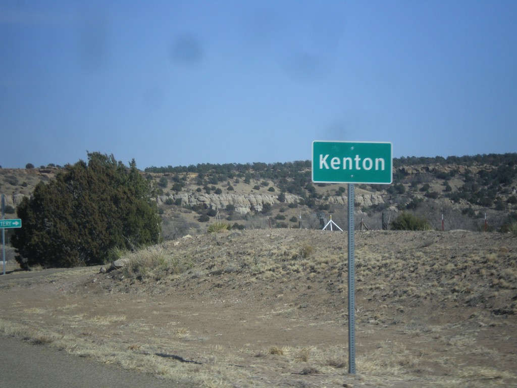
OK-325 East - Kenton
Entering Kenton on OK-325 east.
Taken 03-29-2014
 Kenton
Cimarron County
Oklahoma
United States
Kenton
Cimarron County
Oklahoma
United States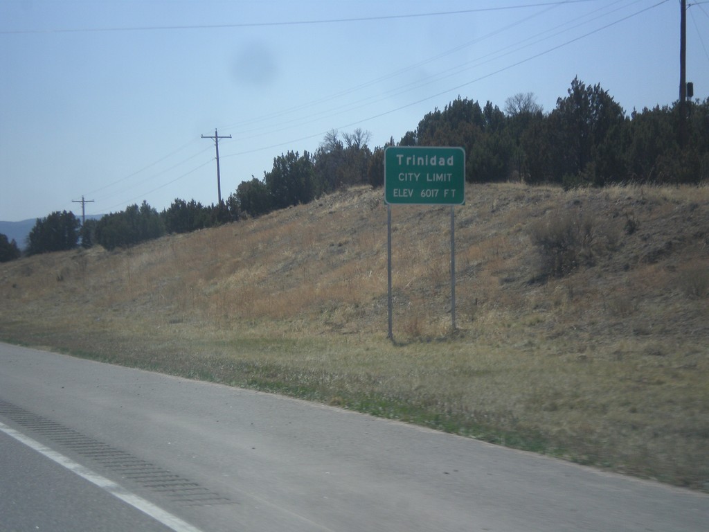
I-25 South - Trinidad City Limit
Entering Trinidad on I-25 south. Trinidad is the county seat of Las Animas County.
Taken 03-29-2014

 Trinidad
Las Animas County
Colorado
United States
Trinidad
Las Animas County
Colorado
United States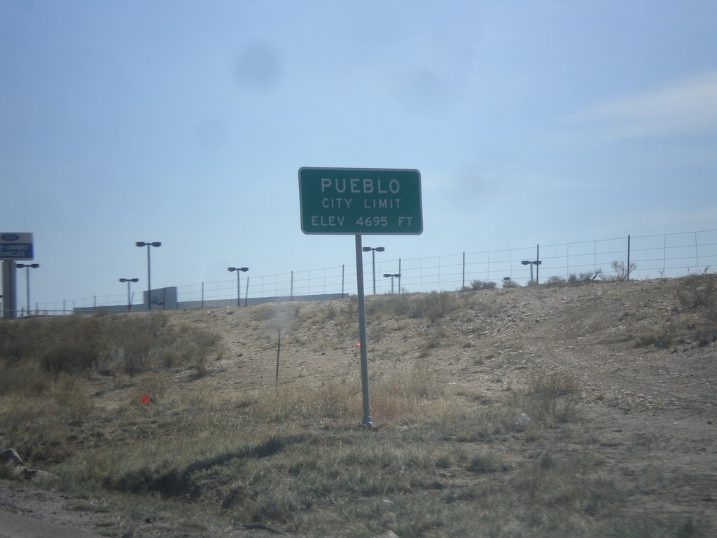
US-50 East - Pueblo City Limits
Pueblo City Limits on US-50 east. Elevation 4,695 feet. Pueblo is the 9th biggest city in Colorado according to the 2012 US Census estimate.
Taken 03-29-2014
Pueblo
Pueblo County
Colorado
United States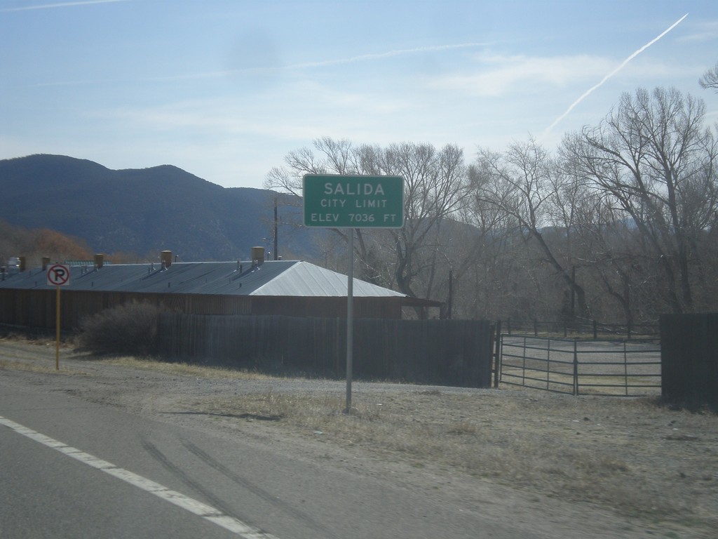
US-50 East - Entering Salida
Salida City Limit on US-50 east. Salida is the county seat of Chaffee County, Colorado.
Taken 03-29-2014
Salida
Chaffee County
Colorado
United States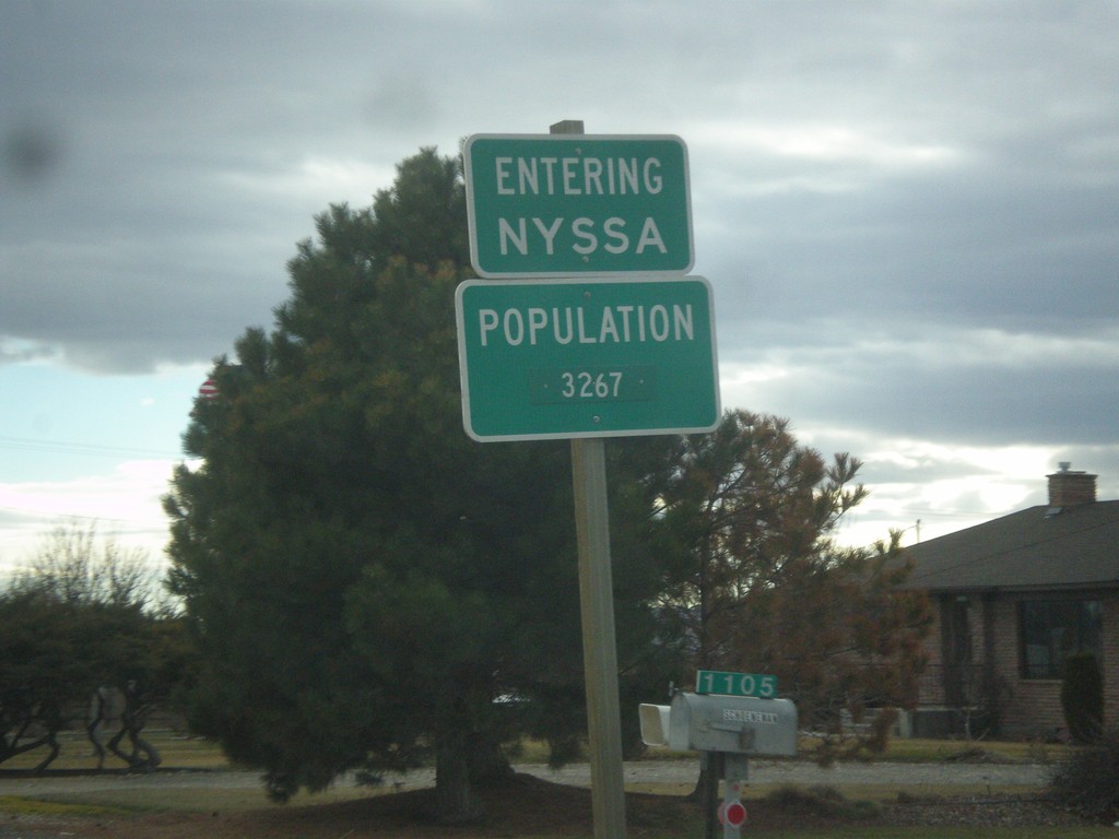
US-20/US-26 East/OR-201 South - Entering Nyssa
Entering Nyssa on US-20/US-26 East/OR-201 South. Nyssa is located on the Oregon-Idaho border along the Snake River.
Taken 02-17-2014


 Nyssa
Malheur County
Oregon
United States
Nyssa
Malheur County
Oregon
United States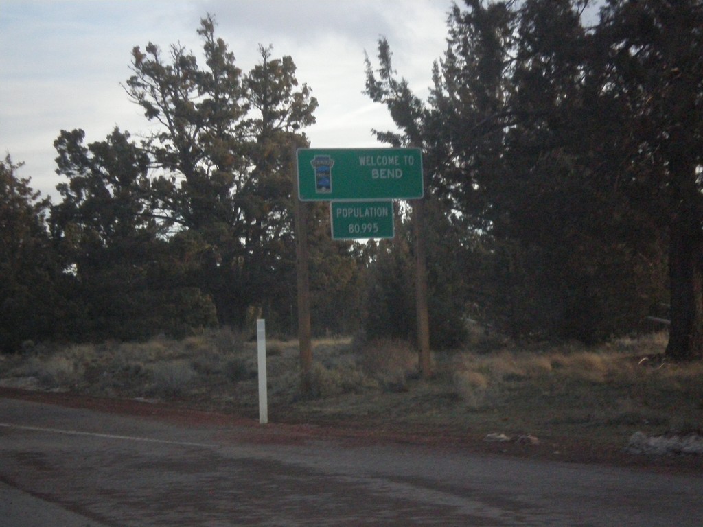
US-20 East - Entering Bend
Entering Bend, Oregon on US-20 east. Bend is the largest city in Oregon east of the Cascades.
Taken 02-16-2014
Bend
Deschutes County
Oregon
United States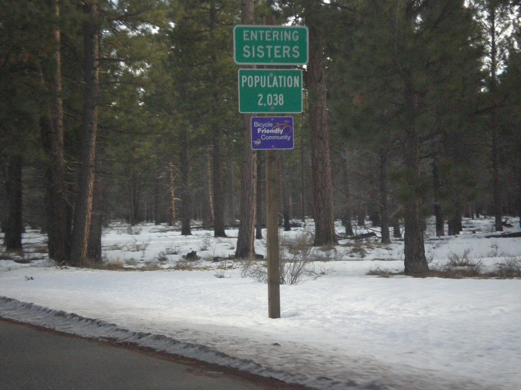
US-20/OR-126 East - Entering Sisters
Entering Sisters on US-20/OR-126 east.
Taken 02-16-2014
 Sisters
Deschutes County
Oregon
United States
Sisters
Deschutes County
Oregon
United States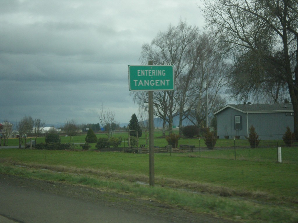
OR-34 East - Tangent
Entering Tangent on OR-34 east.
Taken 02-16-2014
 Tangent
Linn County
Oregon
United States
Tangent
Linn County
Oregon
United States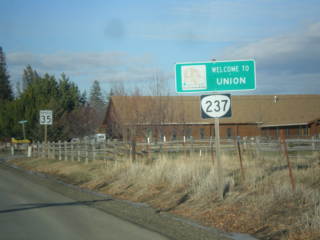
OR-237 North - Entering Union
Entering Union, Oregon on OR-237 north.
Taken 12-15-2013
 Union
Union County
Oregon
United States
Union
Union County
Oregon
United States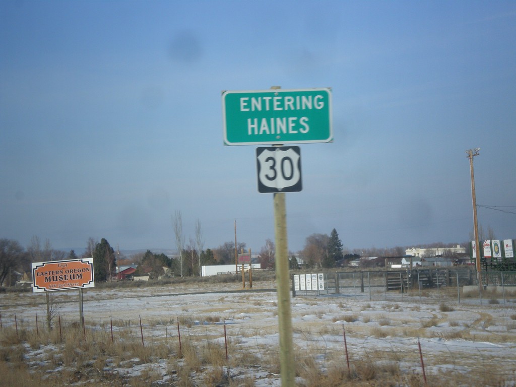
US-30 West - Entering Haines
Entering Haines on US-30 west.
Taken 12-15-2013
 Haines
Baker County
Oregon
United States
Haines
Baker County
Oregon
United States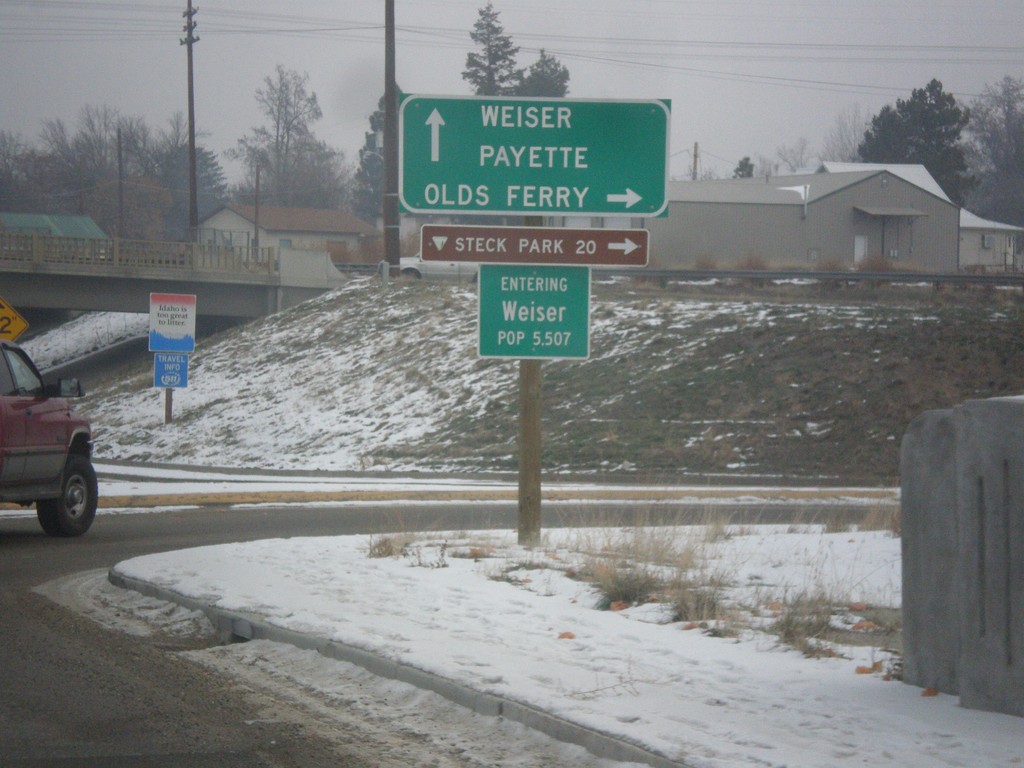
US-95 Spur North at Olds Ferry Jct.
US-95 Spur north at Olds Ferry Jct. Turn right for Olds Ferry; continue north on US-95 Spur for Payette and Weiser. Entering Weiser, Idaho.
Taken 12-15-2013
 Weiser
Washington County
Idaho
United States
Weiser
Washington County
Idaho
United States