Signs Tagged With Municipality Boundary
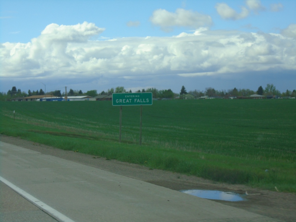
US-87/US-89/MT-3 North/MT-200 West - Great Falls
Entering Great Falls on US-87/US-89/MT-3 North/MT-200 West. Great Falls is the 3rd largest city in Montana.
Taken 05-13-2023


 Great Falls
Cascade County
Montana
United States
Great Falls
Cascade County
Montana
United States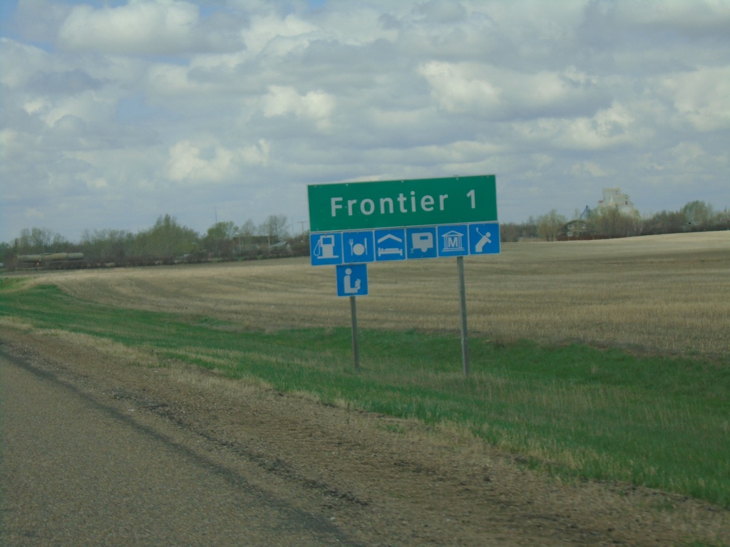
SK-18 West - Frontier
SK-18 west approaching Frontier.
Taken 05-13-2023
 Frontier
 No. 19
Saskatchewan
Canada
Frontier
Frontier No. 19
Saskatchewan
Canada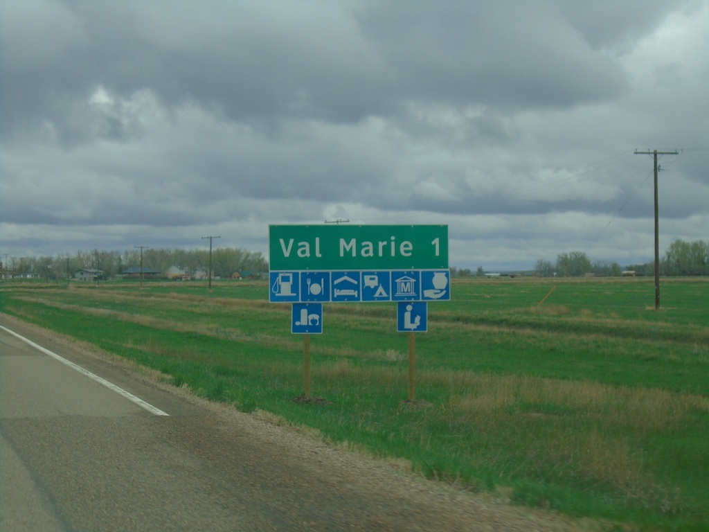
SK-4 North/SK-18 East Approaching Val Marie
Approaching Val Marie on SK-4 North/SK-18 East. Val Marie is home to the visitor center for Grasslands National Park.
Taken 05-12-2023
 Val Marie
 No. 17
Saskatchewan
Canada
Val Marie
Val Marie No. 17
Saskatchewan
Canada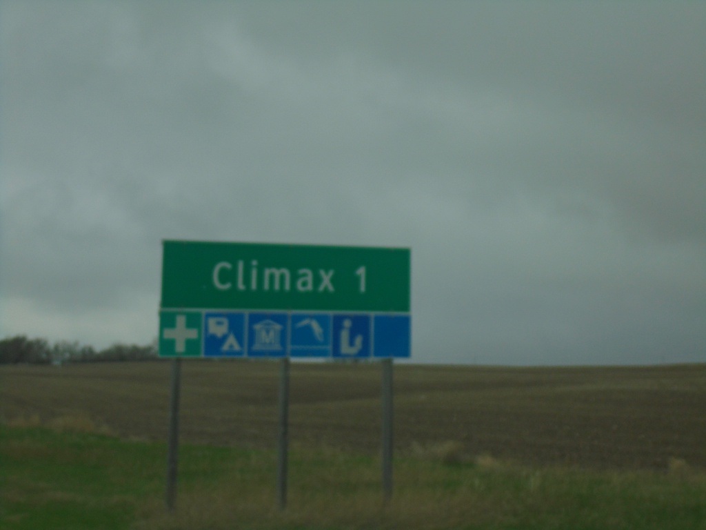
SK-37 North - Climax
Approaching Climax on SK-37 north.
Taken 05-12-2023
 Climax
Lone Tree No. 18
Saskatchewan
Canada
Climax
Lone Tree No. 18
Saskatchewan
Canada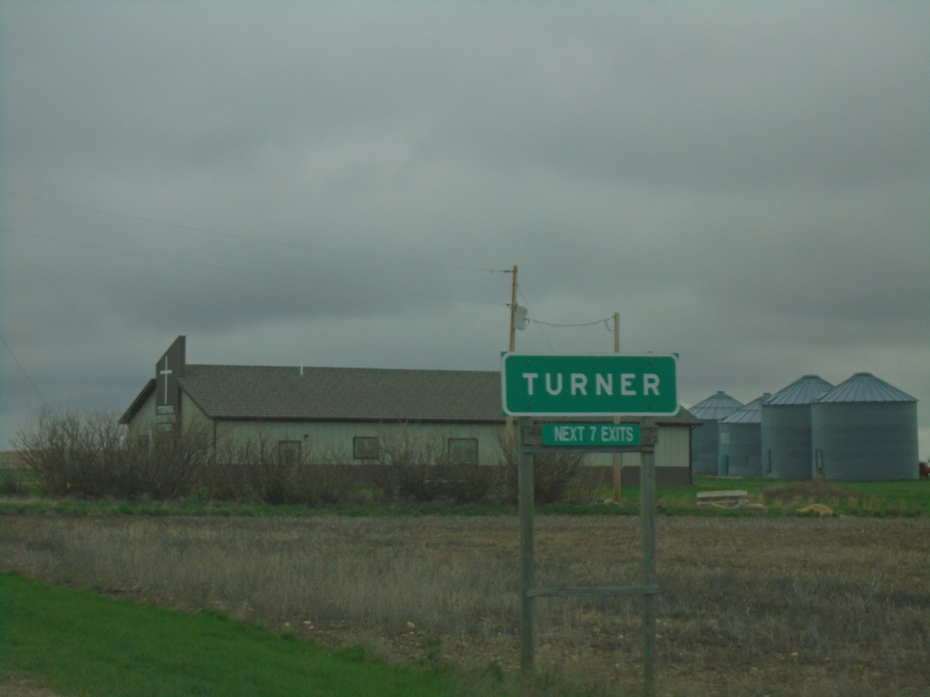
MTS-241 North - Turner
Entering Turner on MTS-241 north.
Taken 05-12-2023
 Turner
Blaine County
Montana
United States
Turner
Blaine County
Montana
United States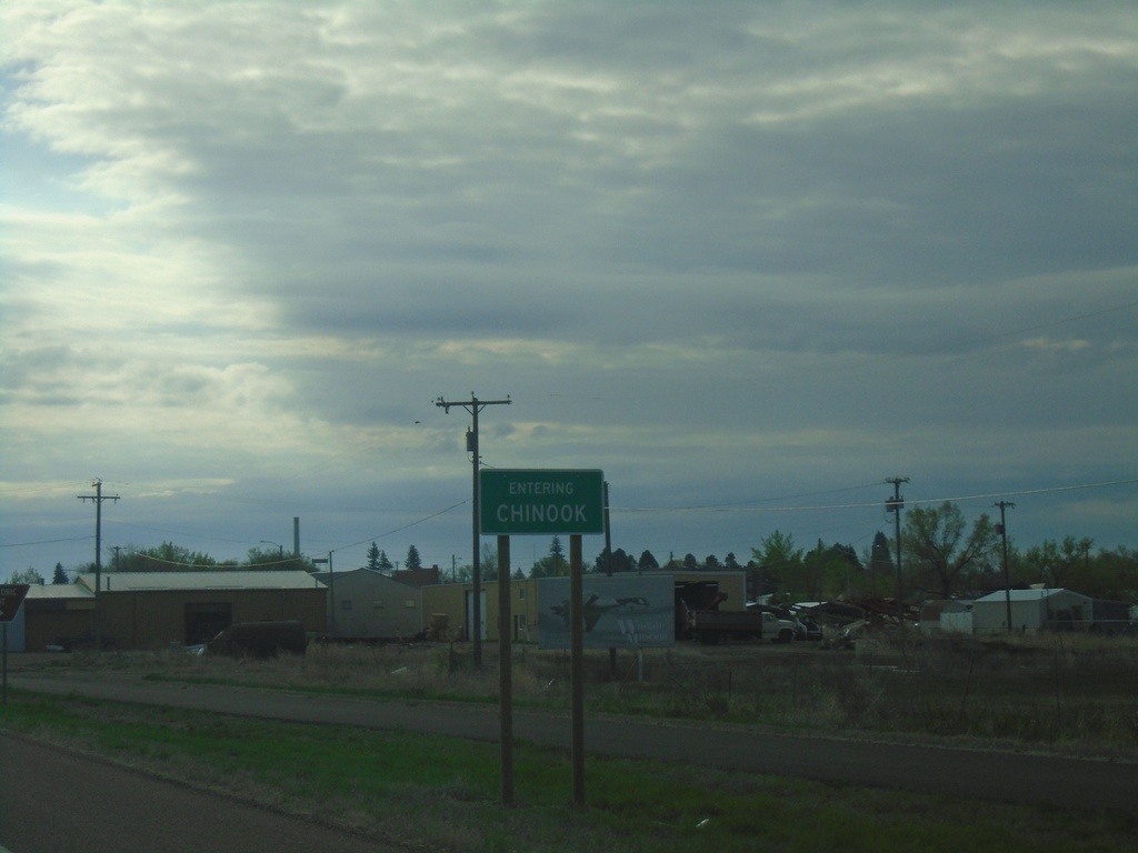
US-2 East - Chinook
Entering Chinook on US-2 east. Chinook is the county seat of Blaine County.
Taken 05-12-2023
 Chinook
Blaine County
Montana
United States
Chinook
Blaine County
Montana
United States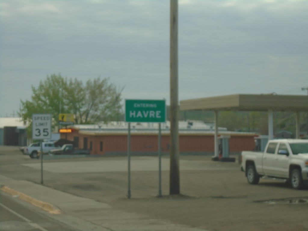
US-2 East - Entering Havre
Entering Havre on US-2 east. Havre is the county seat of Hill County and the 10th biggest city in Montana (2020 Census).
Taken 05-12-2023
Havre
Hill County
Montana
United States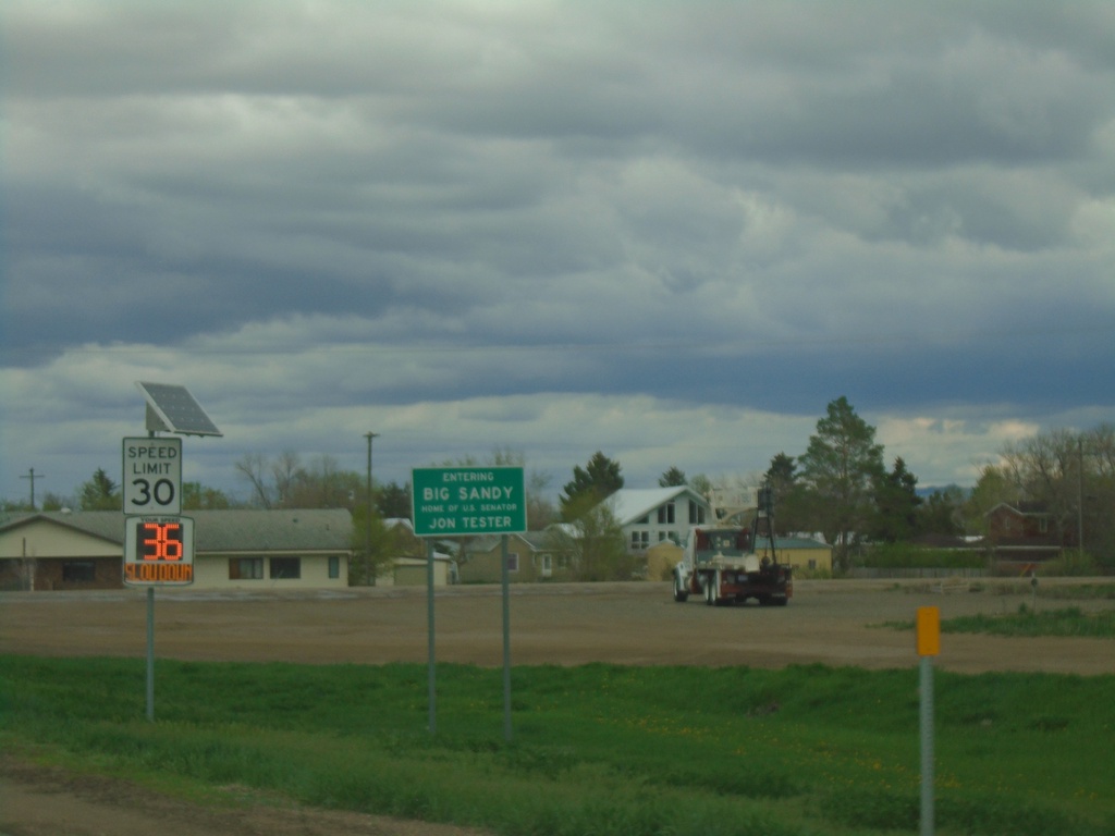
US-87 - Entering Big Sandy
Entering Big Sandy - Home of US Senator Jon Tester
Taken 05-11-2023
Big Sandy
Chouteau County
Montana
United States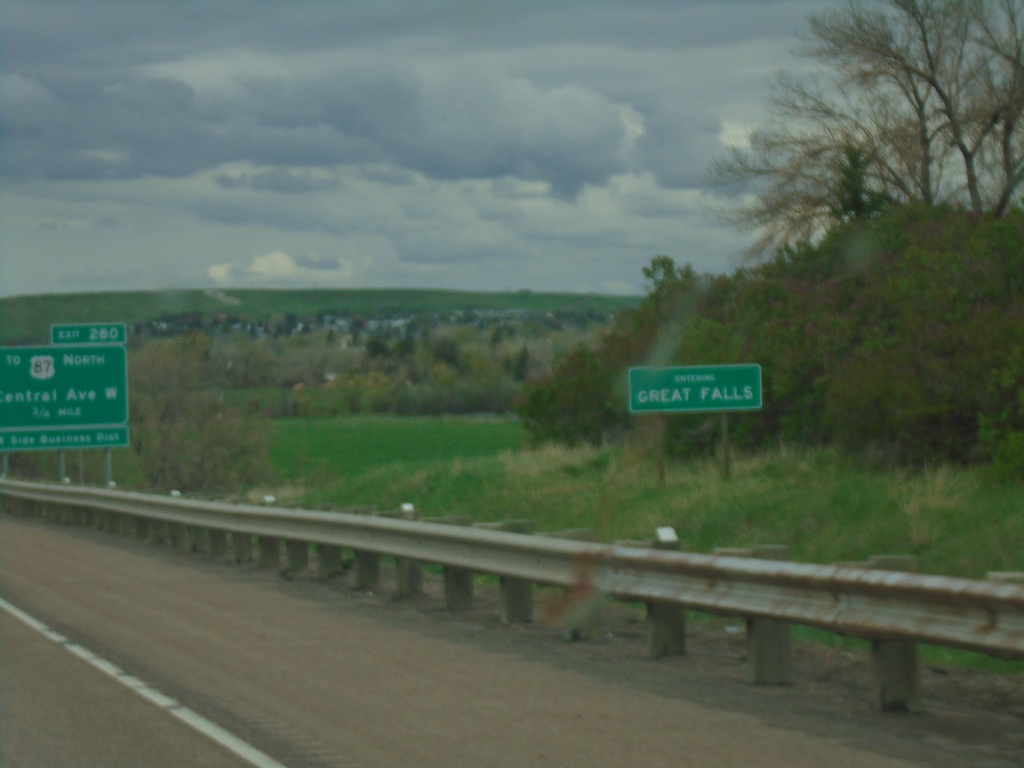
I-15 North - Entering Great Falls
Entering Great Falls on I-15 North. Great Falls is the 3rd largest city in Montana and the county seat of Cascade County.
Taken 05-11-2023
 Great Falls
Cascade County
Montana
United States
Great Falls
Cascade County
Montana
United States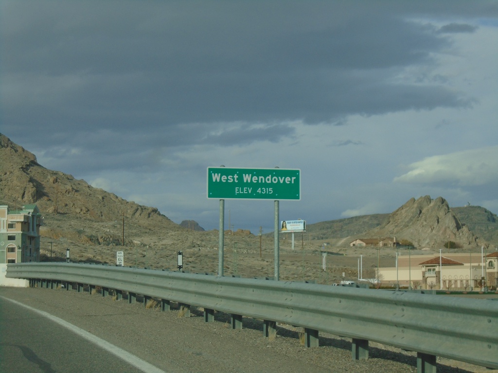
US-93 Alt. North - West Wendover
West Wendover - Elevation 4315 Feet on US-93 Alt. North.
Taken 04-01-2023
 West Wendover
Elko County
Nevada
United States
West Wendover
Elko County
Nevada
United States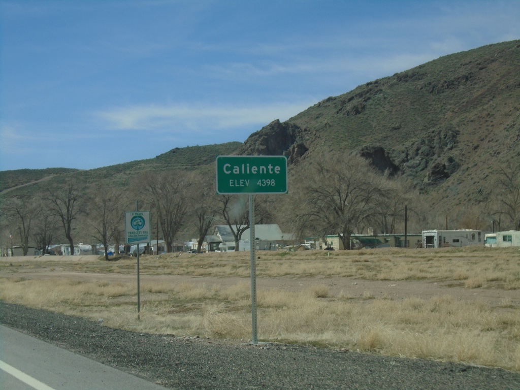
US-93 South - Caliente
Entering Caliente - Elevation 4398 Feet on US-93 south.
Taken 04-01-2023
 Caliente
Lincoln County
Nevada
United States
Caliente
Lincoln County
Nevada
United States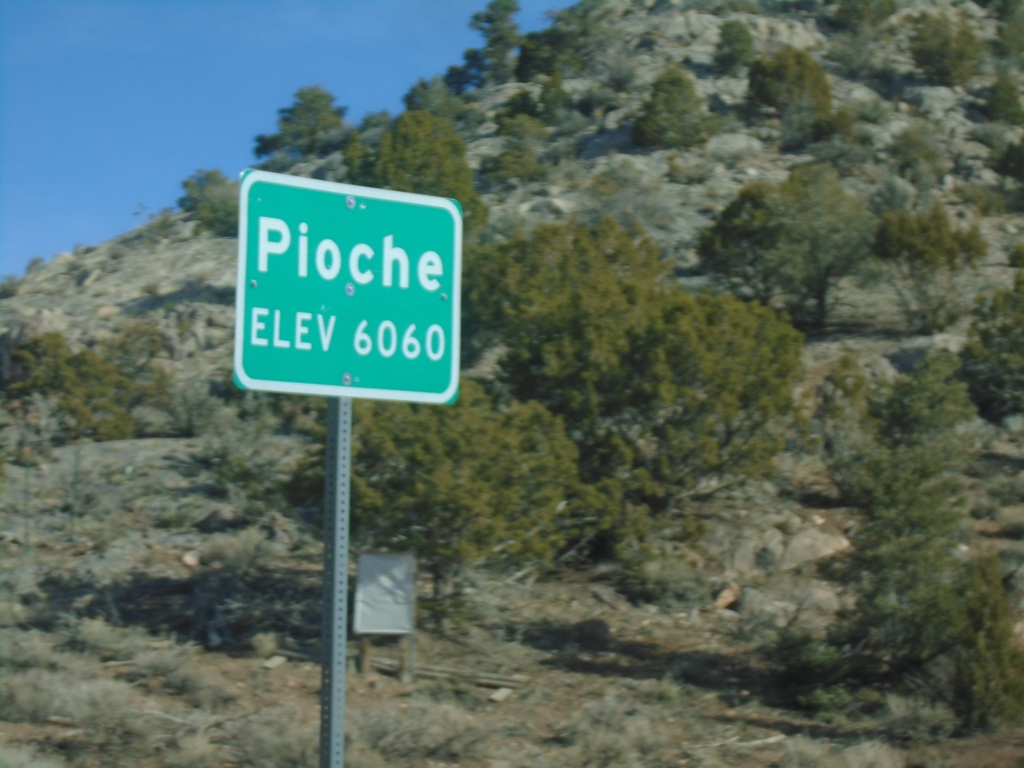
Bus. US-93/NV-321 - Pioche
Entering Pioche on Bus. US-93/NV-321 north. Pioche is the county seat of Lincoln County.
Taken 04-01-2023

 Pioche
Lincoln County
Nevada
United States
Pioche
Lincoln County
Nevada
United States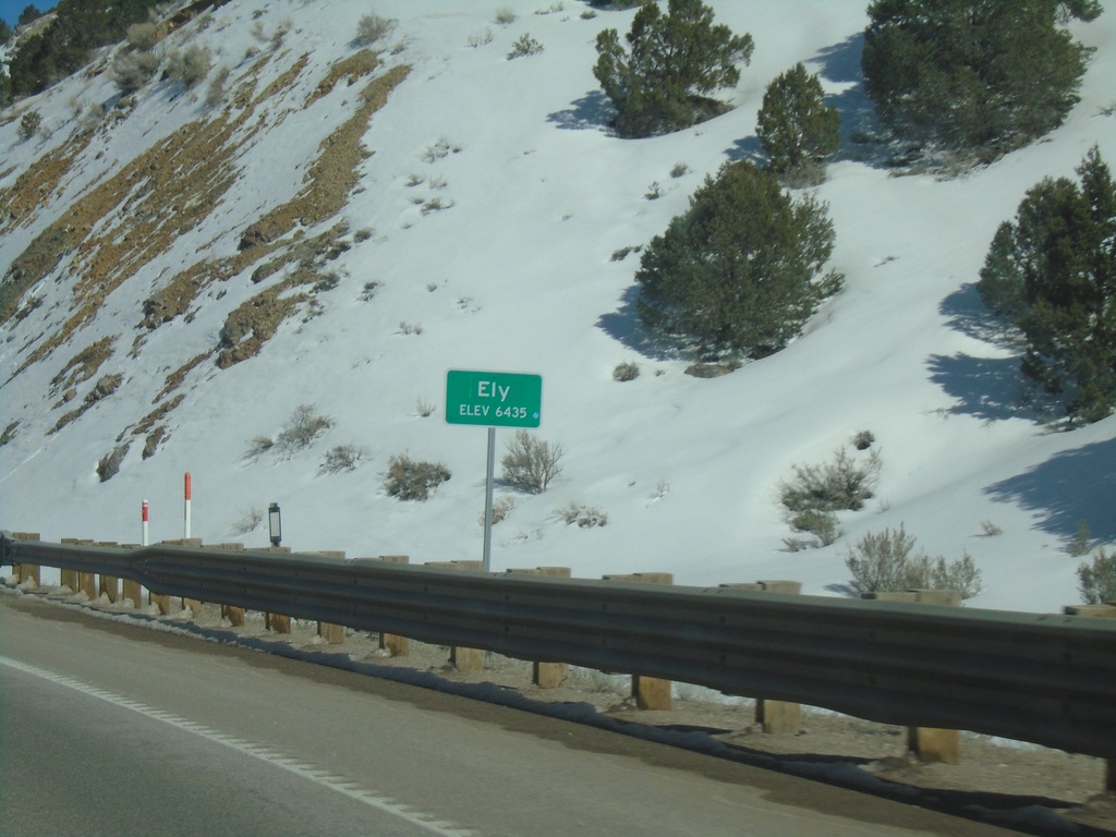
US-50 East - Ely
Entering Ely on US-50 East. Ely is the county seat of White Pine County.
Taken 03-31-2023
 Ely
White Pine County
Nevada
United States
Ely
White Pine County
Nevada
United States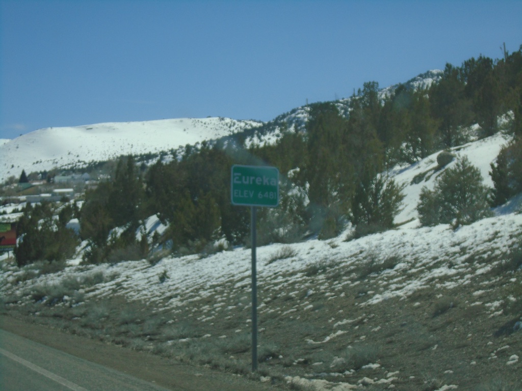
US-50 East - Eureka
Entering Eureka on US-50 East - Elevation 6481 Feet. Eureka is the county seat of Eureka County the second smallest county in Nevada.
Taken 03-31-2023
Eureka
Eureka County
Nevada
United States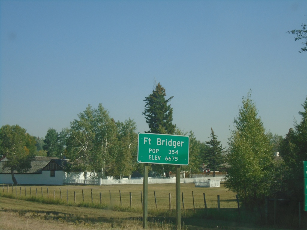
BL-80 East - Fort Bridger
Entering Fort Bridger on BL-80 east. Population 354. Elevation 6675.
Taken 09-10-2022
 Fort Bridger
Uinta County
Wyoming
United States
Fort Bridger
Uinta County
Wyoming
United States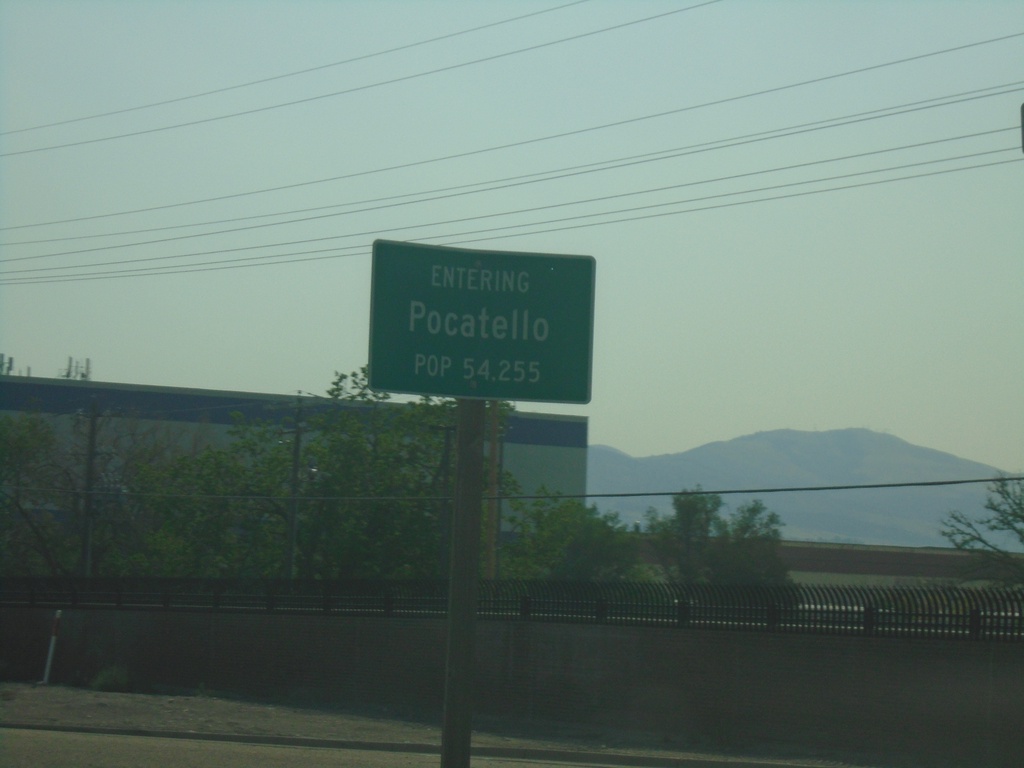
US-91 South - Pocatello
Entering Pocatello on US-91 South. Pocatello is the 6th largest city in Idaho (2020 Census) and is the county seat of Bannock County.
Taken 09-10-2022
 Pocatello
Bannock County
Idaho
United States
Pocatello
Bannock County
Idaho
United States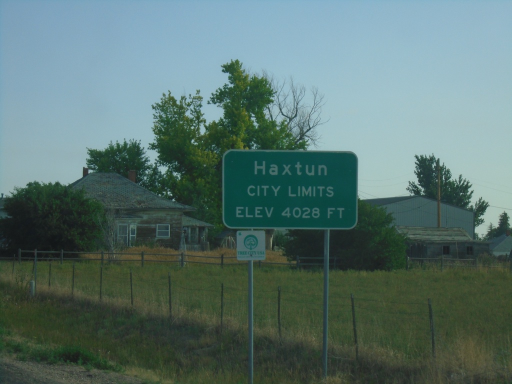
CO-59 North - Haxtun
Entering Haxtun on CO-59 north. Elevation 4028 Feet.
Taken 07-11-2022
 Haxtun
Phillips County
Colorado
United States
Haxtun
Phillips County
Colorado
United States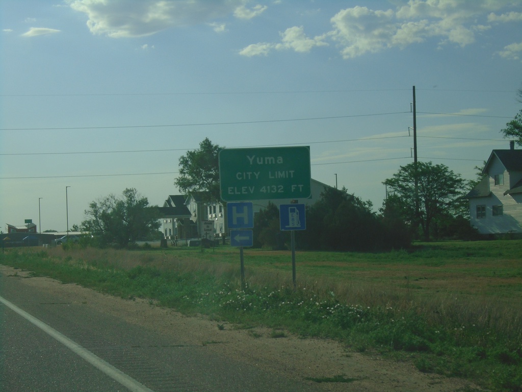
US-34 East - Yuma
Entering Yuma on US-34 East. Elevation 4132 Feet.
Taken 07-11-2022
 Yuma
Yuma County
Colorado
United States
Yuma
Yuma County
Colorado
United States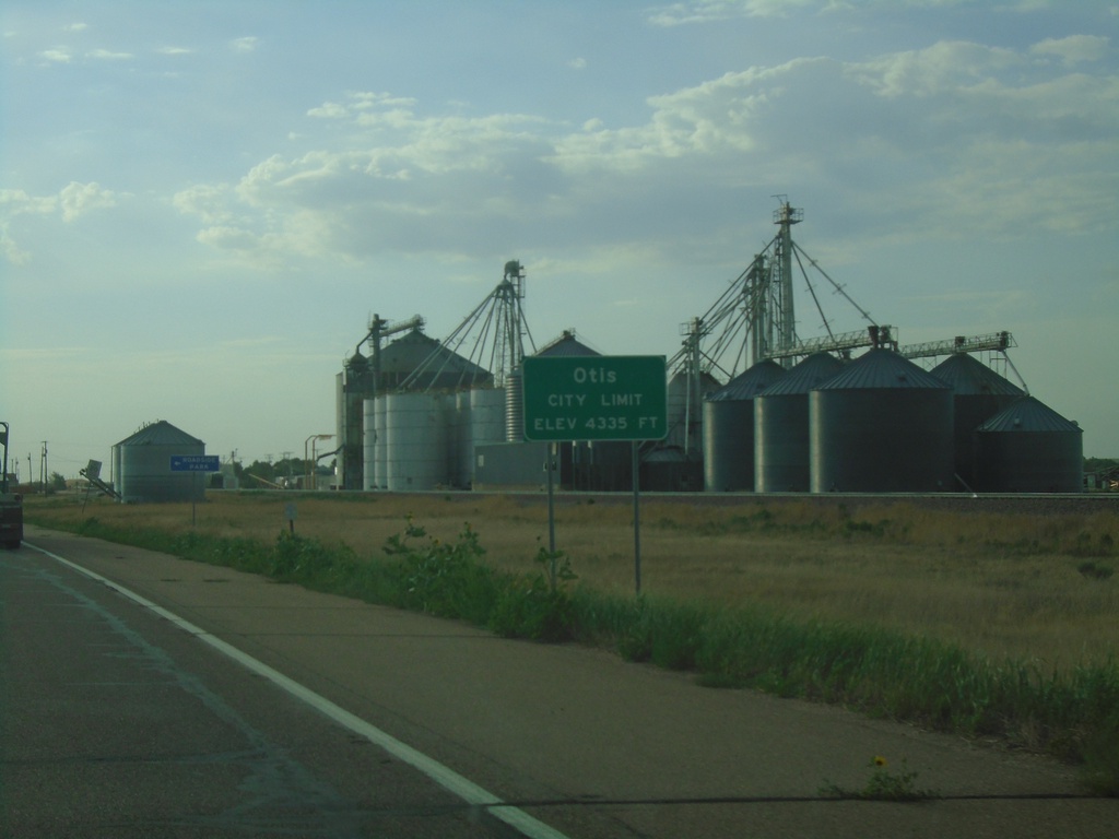
US-34 East - Otis
Entering Otis on US-34 East. Elevation 4335 Feet.
Taken 07-11-2022
Otis
Washington County
Colorado
United States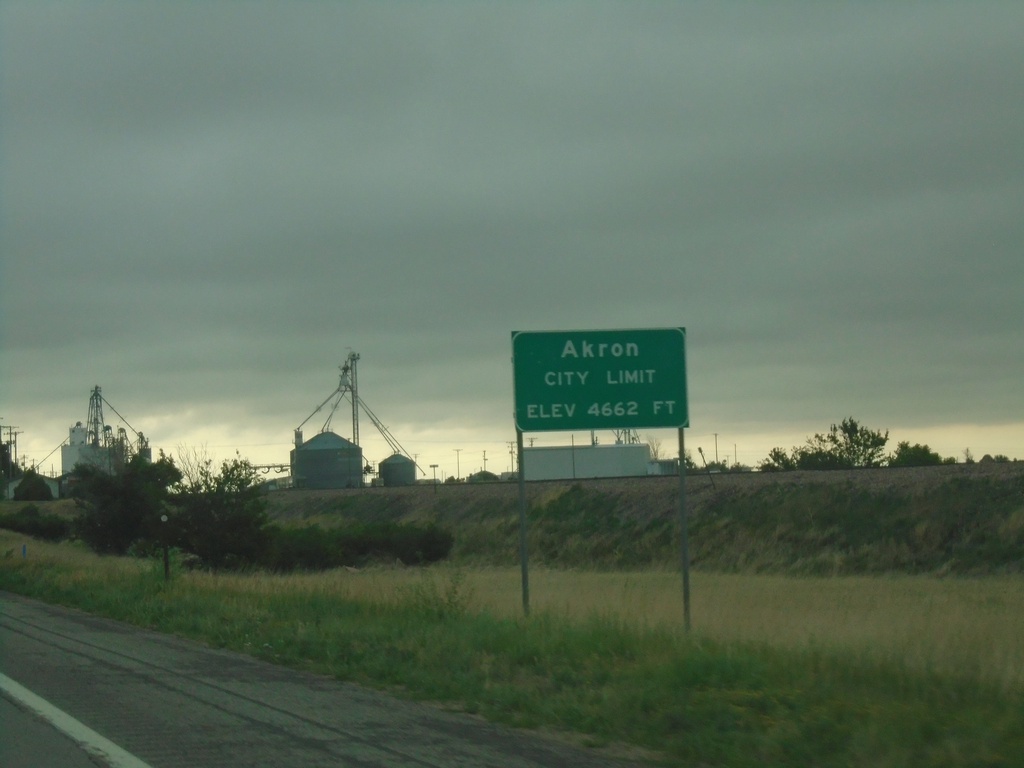
US-34 East - Akron
Entering Akron on US-34 East. Akron is the county seat of Washington County, Colorado. Elevation 4662 Feet.
Taken 07-11-2022
Akron
Washington County
Colorado
United States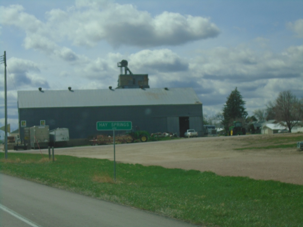
US-20 West/NE-87 South - Hay Springs
Entering Hay Springs on US-20 West/NE-87 South.
Taken 05-02-2022

 Hay Springs
Sheridan County
Nebraska
United States
Hay Springs
Sheridan County
Nebraska
United States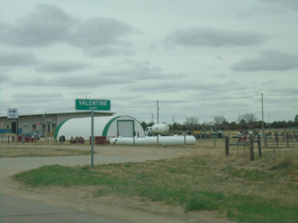
US-20 West/US-83 North - Valentine
Entering Valentine on US-20 West/US-83 North. Valentine is the county seat of Cherry County.
Taken 05-02-2022
 Valentine
Cherry County
Nebraska
United States
Valentine
Cherry County
Nebraska
United States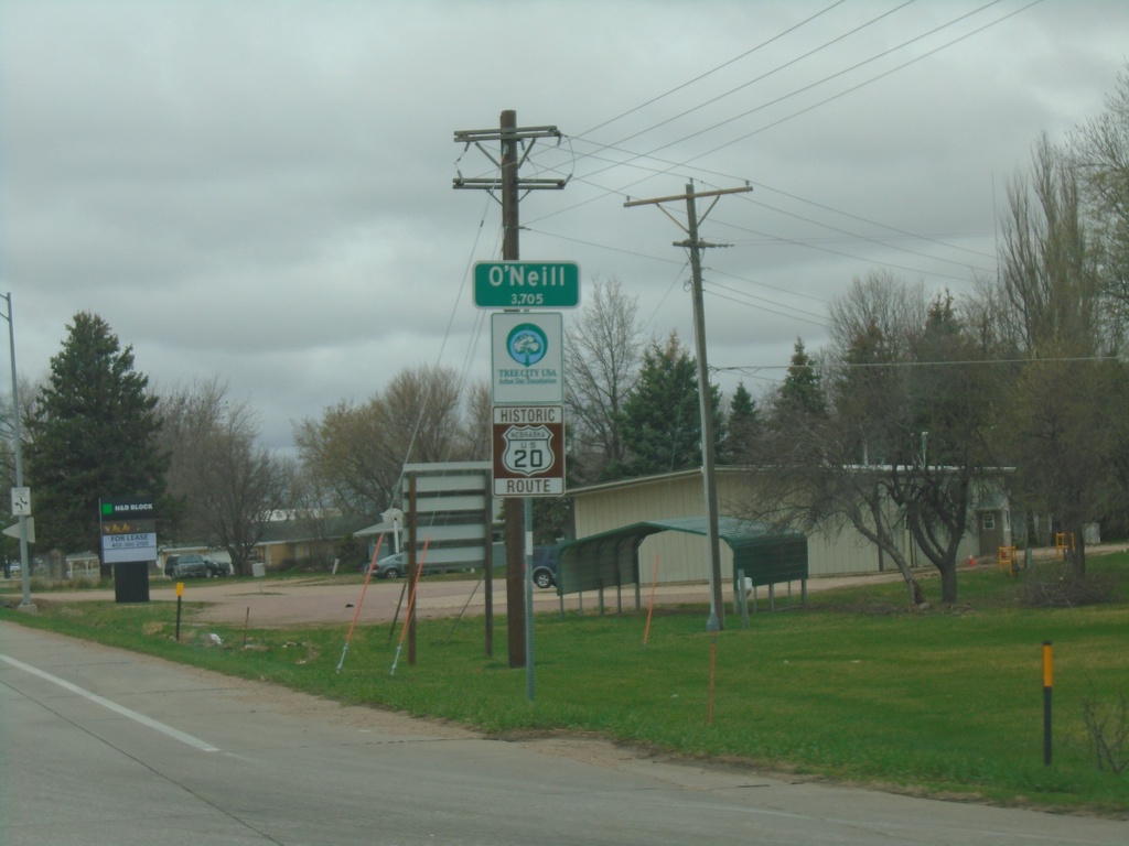
US-20/US-275 West - O'Neill
Entering O’Neill on US-20/US-275 West. O’Neill is the county seat of Holt County. A historic US-20 route marker is also displayed below the city limit sign. This marker is seen along US-20 in central and western Nebraska.
Taken 05-02-2022
 O'Neill
Holt County
Nebraska
United States
O'Neill
Holt County
Nebraska
United States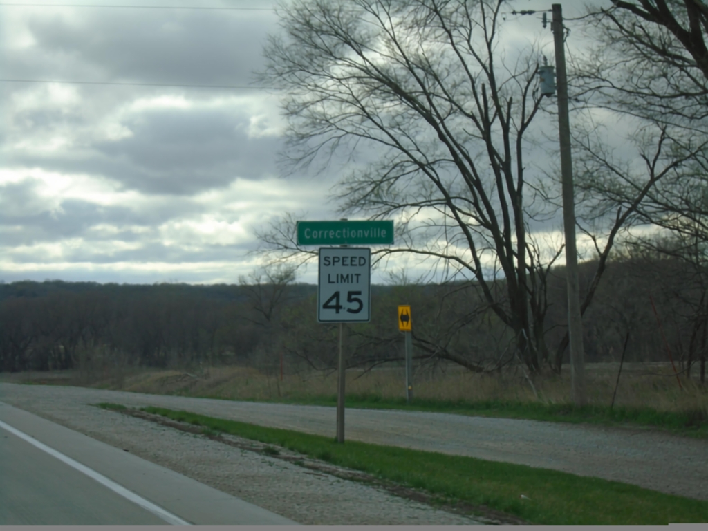
IA-31 South - Correctionville
Entering Correctionville on IA-31 South. Speed Limit 45 MPH.
Taken 05-01-2022
 Correctionville
Woodbury County
Iowa
United States
Correctionville
Woodbury County
Iowa
United States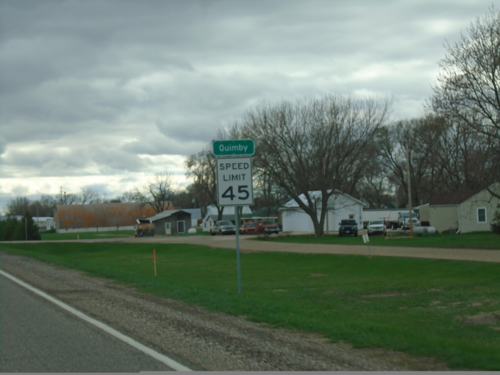
IA-31 South - Quimby
Entering Quimby on IA-31 south. Speed Limit 45 MPH.
Taken 05-01-2022
Quimby
Cherokee County
Iowa
United States