Signs Tagged With Watershed Boundary
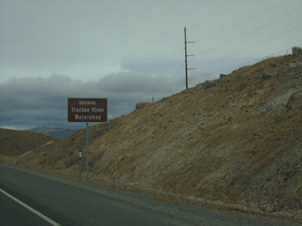
NV-439 North - Truckee Watershed
Entering the Truckee River Watershed on NV-439 north.
Taken 10-19-2019
 Fernley
Lyon County
Nevada
United States
Fernley
Lyon County
Nevada
United States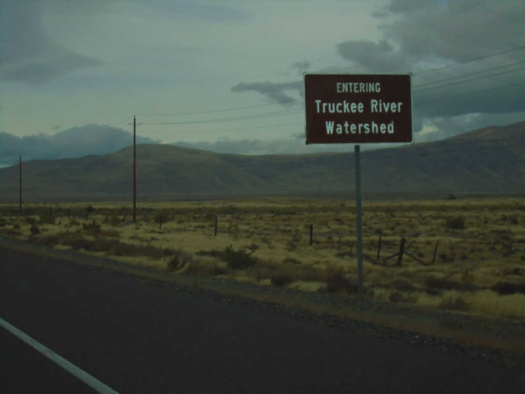
Alt. US-50 West - Ragtown Pass
Alt. US-50 West entering the Truckee River Watershed at Ragtown Pass.
Taken 10-19-2019
 Fernley
Lyon County
Nevada
United States
Fernley
Lyon County
Nevada
United States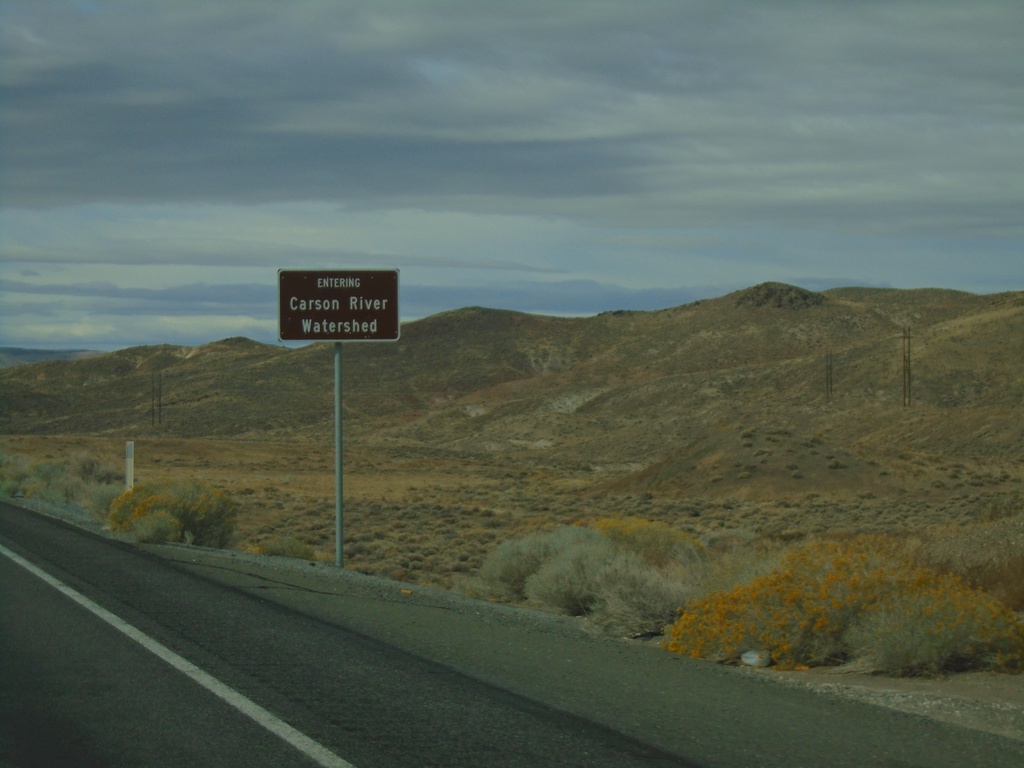
US-50 West - Entering Carson River Watershed
Entering Carson River Watershed on US-50 west. Taken at the summit of the Stillwater Range.
Taken 10-19-2019
 Fallon
Churchill County
Nevada
United States
Fallon
Churchill County
Nevada
United States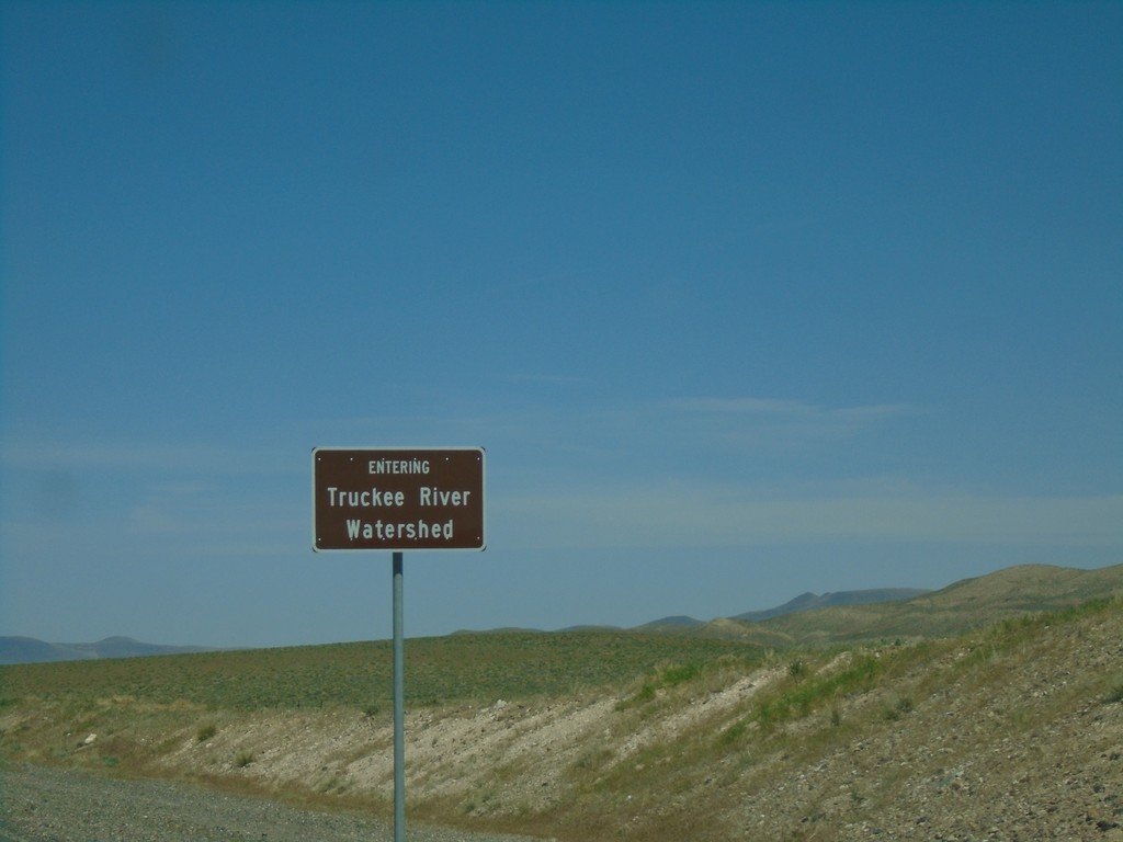
Alt. US-95 North/Alt. US-50 East - Truckee River Watershed
Entering the Truckee River Watershed on Alt. US-95 North/Alt. US-50 East. Taken at the divide in the Virginia Range. These type of watershed signs have been appearing in western Nevada.
Taken 04-27-2019
 Fernley
Lyon County
Nevada
United States
Fernley
Lyon County
Nevada
United States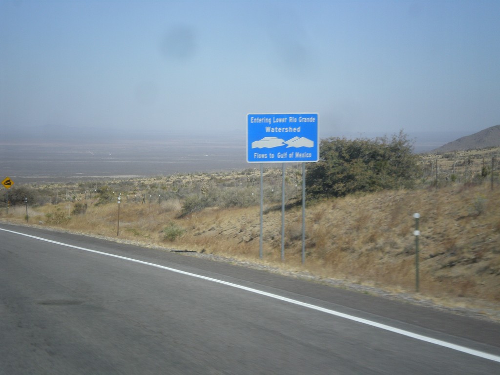
US-70 West - Entering Lower Rio Grande Watershed
Entering the Rio Grande Watershed on US-70 west. The Rio Grande flows into the Gulf of Mexico.
Taken 04-15-2013
 Las Cruces
Doña Ana County
New Mexico
United States
Las Cruces
Doña Ana County
New Mexico
United States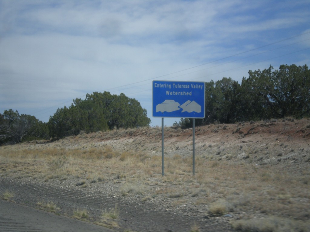
US-380 East - Tularosa Valley Watershed
Entering the Tularosa Valley Watershed on US-380 east. The Tularosa Valley is a closed basin and does not flow to the sea.
Taken 04-15-2013
 San Antonio
Socorro County
New Mexico
United States
San Antonio
Socorro County
New Mexico
United States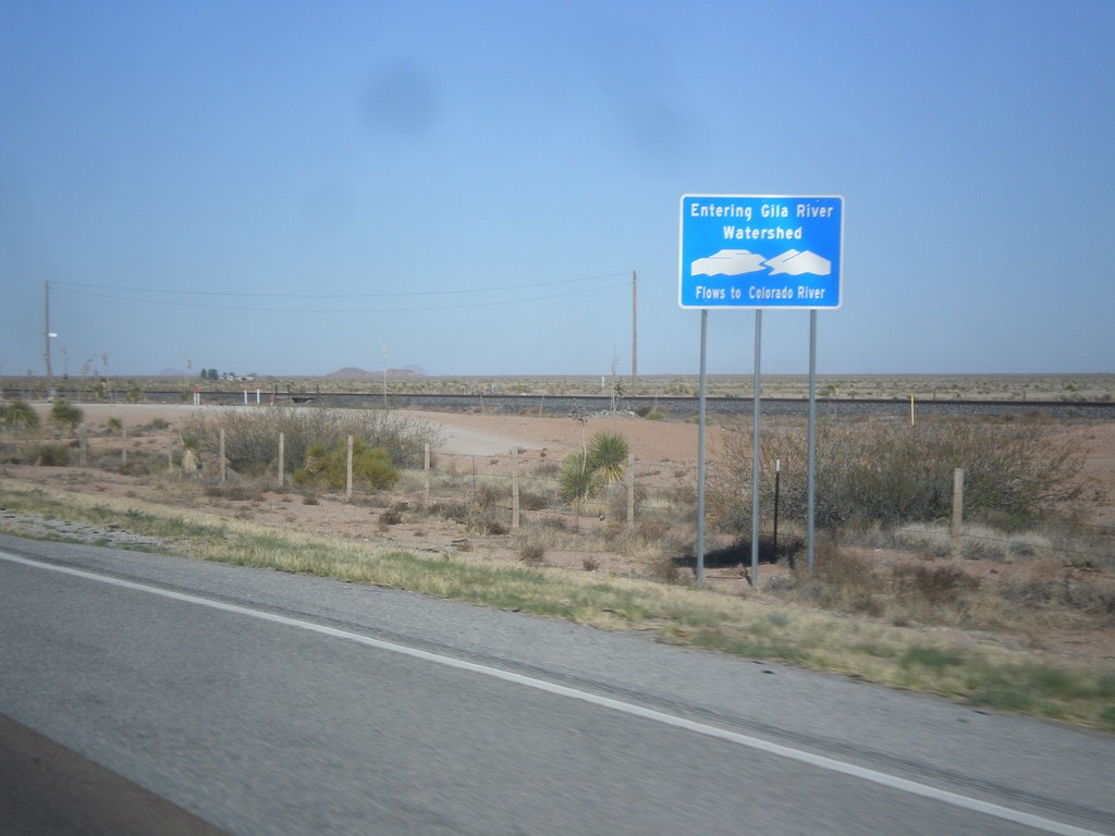
I-10 West - Entering Gila River Watershed
Entering Gila River Watershed on I-10 west. The Gila River flows to the Colorado River. This is the Continental Divide.
Taken 04-14-2013
 Wilna
Grant County
New Mexico
United States
Wilna
Grant County
New Mexico
United States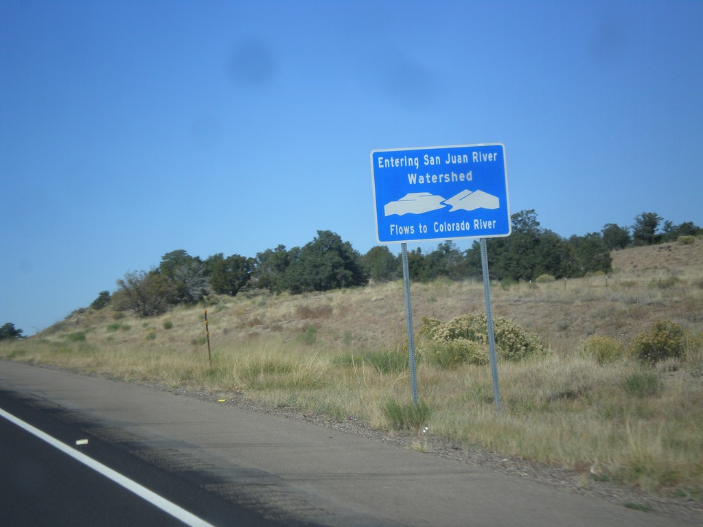
US-550 North - San Juan River Watershed
Entering the San Juan River watershed at the Continental Divide on US-550 north. The San Juan River flows into the Colorado River.
Taken 10-15-2012
 Cuba
Sandoval County
New Mexico
United States
Cuba
Sandoval County
New Mexico
United States