Signs Tagged With Bridge
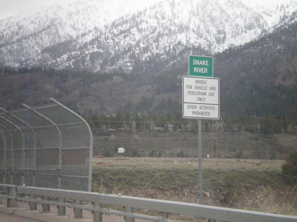
US-89 North - Snake River
Crossing the Snake River on US-89 north.
Taken 05-01-2010
 Alpine
Lincoln County
Wyoming
United States
Alpine
Lincoln County
Wyoming
United States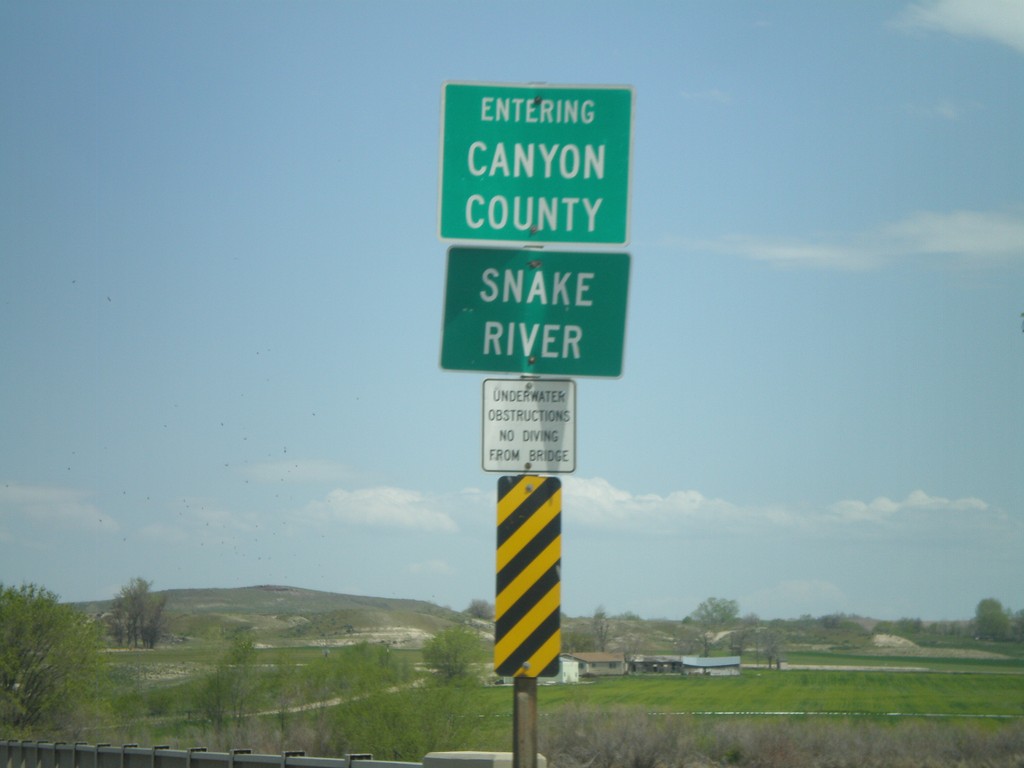
ID-55 North at Canyon County Line
ID-55 north crossing the Snake River and entering Canyon County.
Taken 04-20-2010
 Marsing
Owyhee County
Idaho
United States
Marsing
Owyhee County
Idaho
United States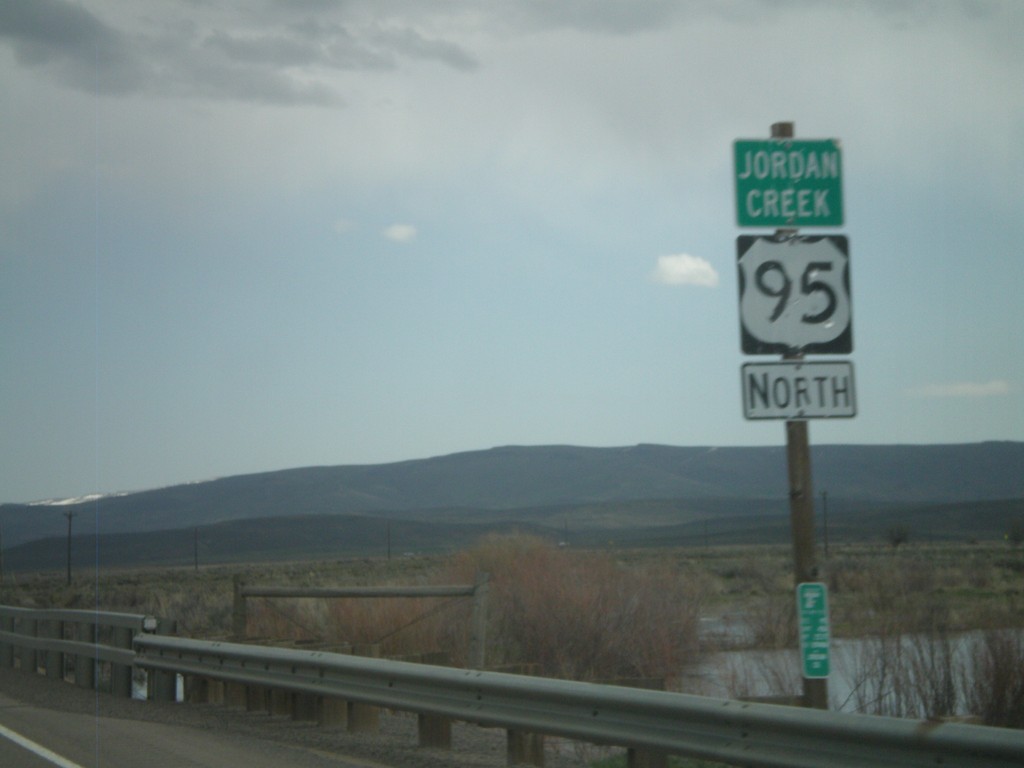
US-95 North - Jordan Creek
US-95 north crossing Jordan Creek. Jordan Creek is overflowing in this picture from spring runoff.
Taken 04-20-2010
 Jordan Valley
Malheur County
Oregon
United States
Jordan Valley
Malheur County
Oregon
United States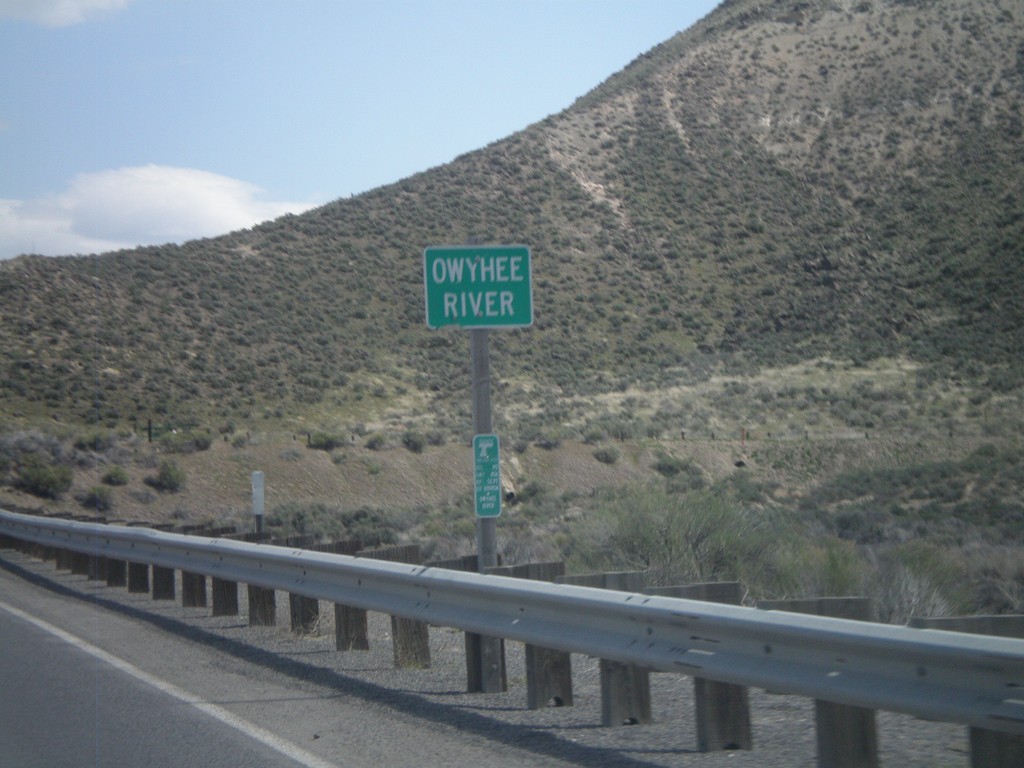
US-95 North - Owyhee River
US-95 north at the Owyhee River.
Taken 04-20-2010
Jordan Valley
Malheur County
Oregon
United States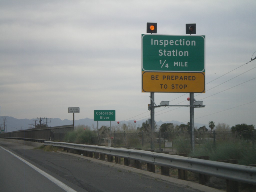
I-10 West - Approaching California Inspection Station
Approaching California Inspection Station and Colorado River on I-10 West/US-95 north.
Taken 03-22-2010
 Ehrenberg
La Paz County
Arizona
United States
Ehrenberg
La Paz County
Arizona
United States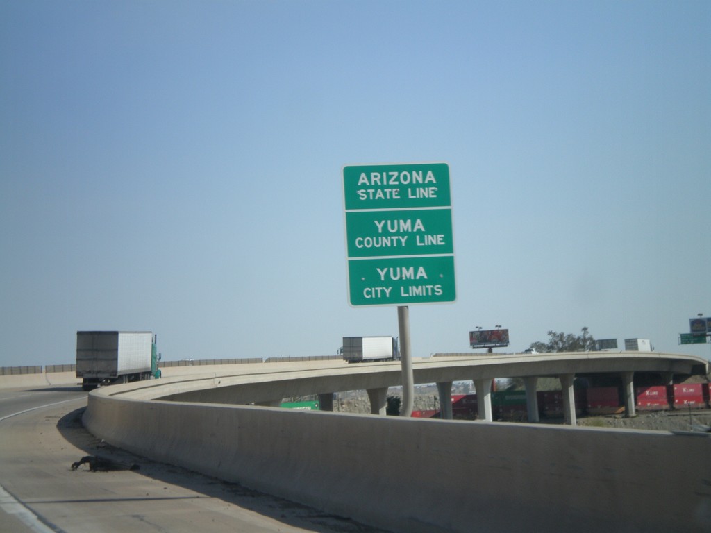
I-8 East - Arizona State Line
Arizona State Line, Yuma County Line, and Yuma City Limits on the Colorado River bridge at the Arizona-California State Line.
Taken 03-20-2010
 Yuma
Yuma County
Arizona
United States
Yuma
Yuma County
Arizona
United States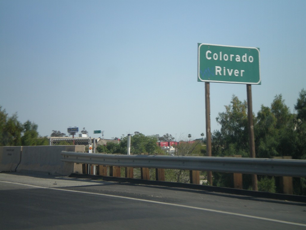
I-8 East - Colorado River
I-8 east at the Colorado River. The Colorado River marks the boundary between California and Arizona.
Taken 03-20-2010
Winterhaven
Imperial County
California
United States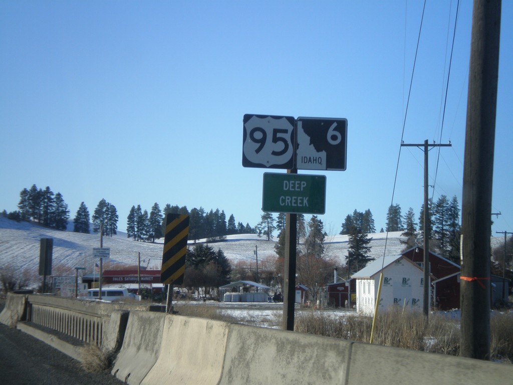
US-95 South/ID-6 West - Deep Creek
US-95/ID-6 at the Deep Creek bridge.
Taken 12-26-2009
 Potlatch
Latah County
Idaho
United States
Potlatch
Latah County
Idaho
United States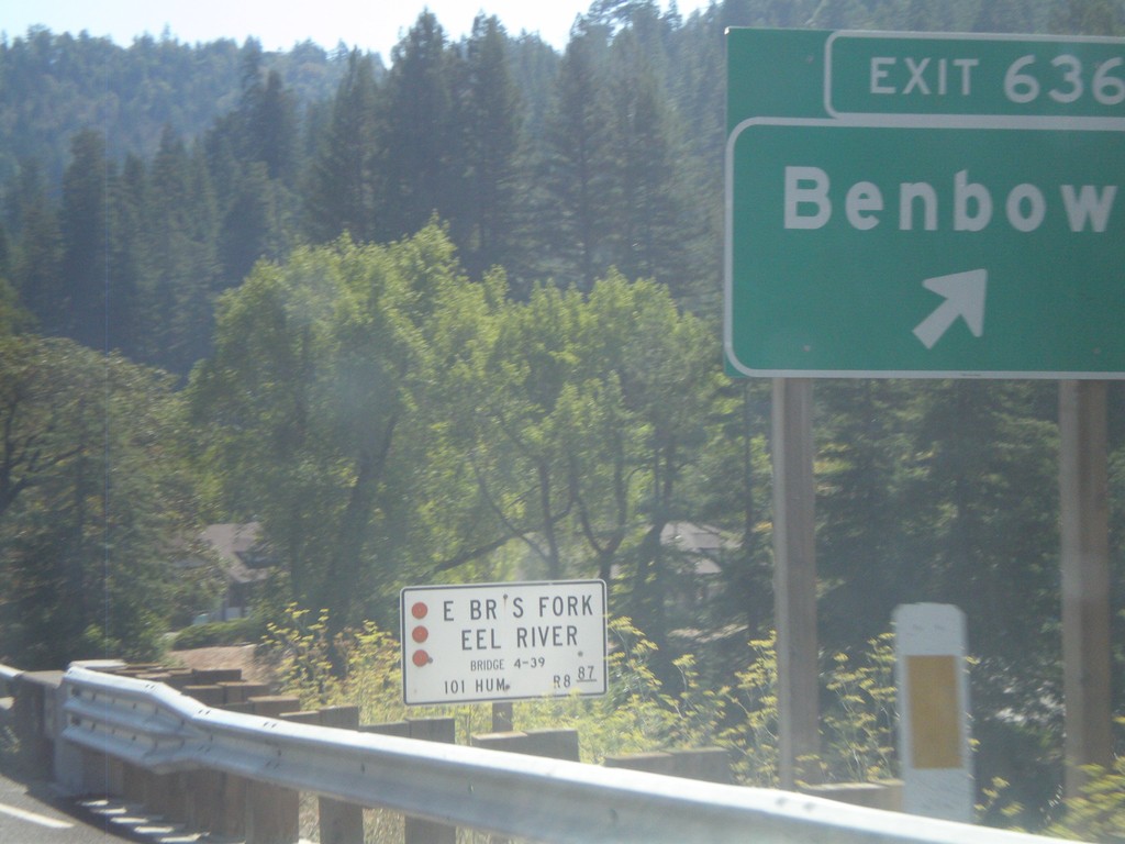
US-101 South - Exit 636
US-101 south at Exit 636 - Benbow
Taken 09-25-2009
 Garberville
Humboldt County
California
United States
Garberville
Humboldt County
California
United States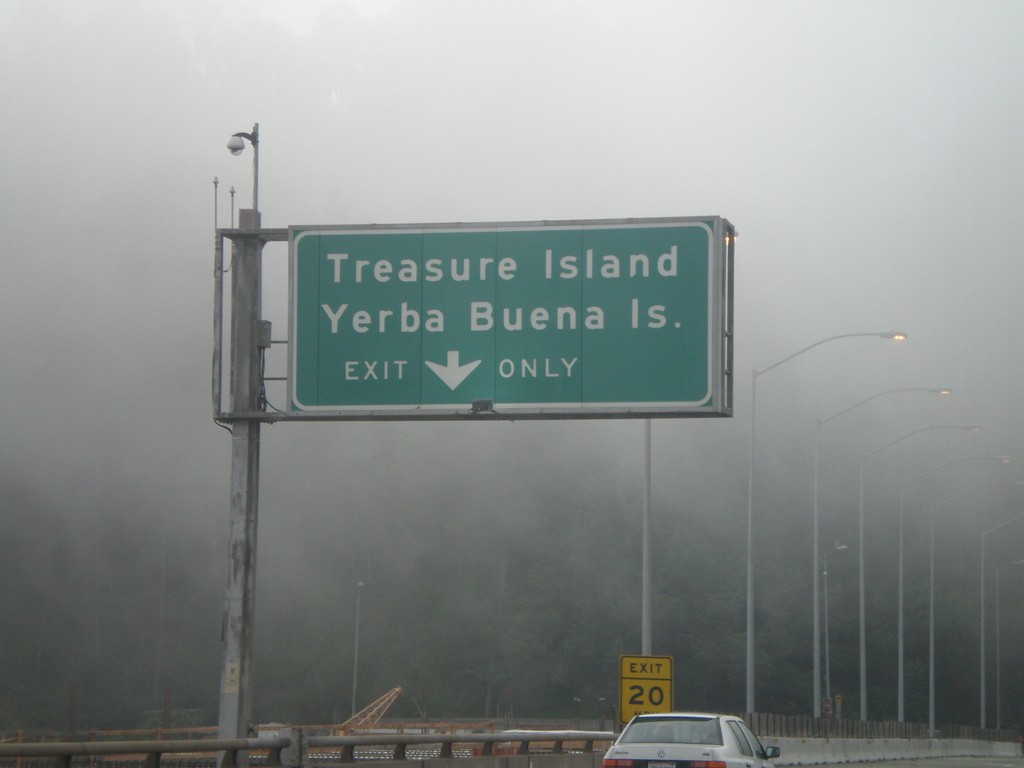
I-80 West - Exit 4
I-80 west at Exit 4 - Treasure Island/Yerba Buena Island. This is on Yerba Buena Island in the San Francsico Bay - halfway across the San Francisco-Oakland Bay Bridge.
Taken 12-31-2008
 San Francisco
 County
California
United States
San Francisco
San Francisco County
California
United States