Signs Tagged With Bridge
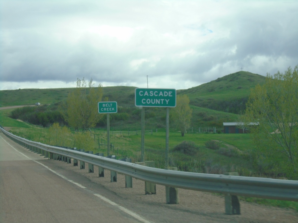
MTS-228 South - Cascade County
Entering Cascade County at Belt Creek bridge on MTS-228 south.
Taken 05-13-2023
 Great Falls
Cascade County
Montana
United States
Great Falls
Cascade County
Montana
United States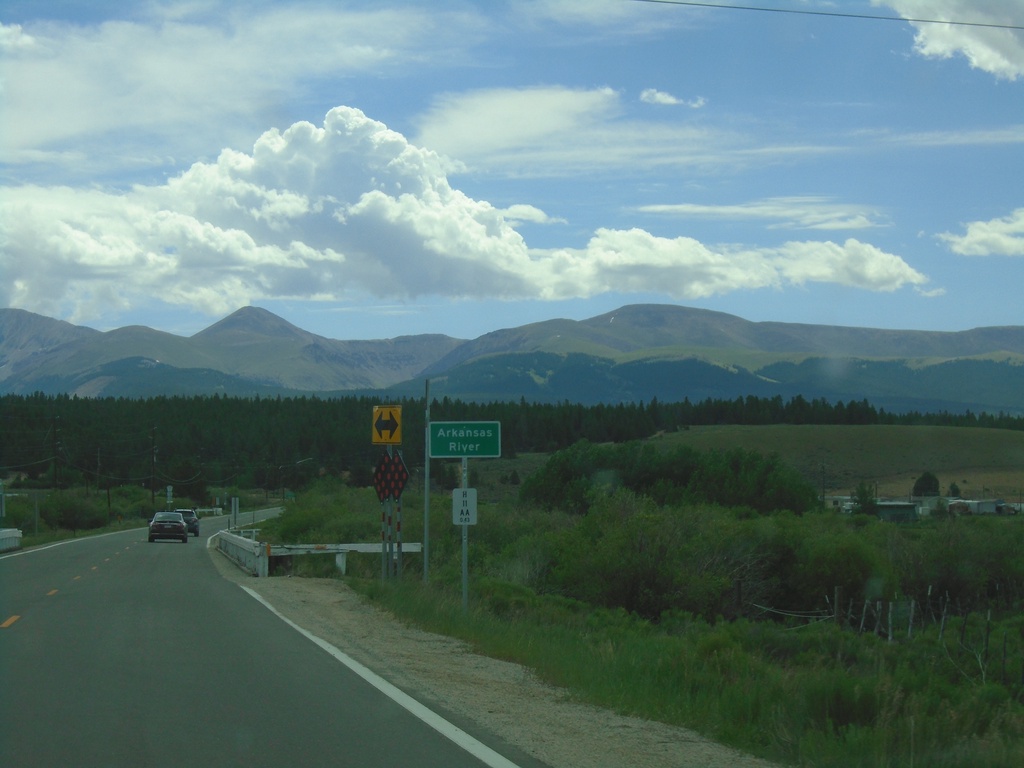
CO-300 East - Arkansas River
CO-300 east crossing the Arkansas River. This is near the headwaters of the Arkansas River. The Mosquito Range is in the background.
Taken 07-10-2022
 Leadville
Lake County
Colorado
United States
Leadville
Lake County
Colorado
United States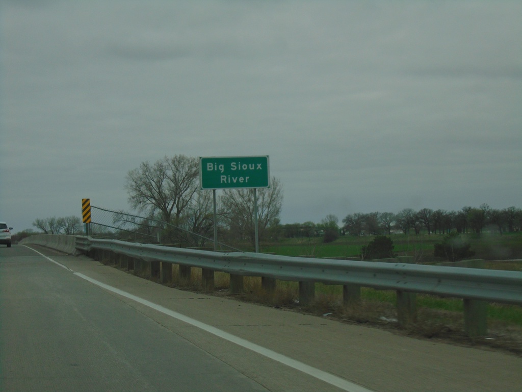
I-29 North - Big Sioux River
I-29 north at the Big Sioux River. The Big Sioux River marks the state line between Iowa and South Dakota.
Taken 05-02-2022
 Sioux City
Woodbury County
Iowa
United States
Sioux City
Woodbury County
Iowa
United States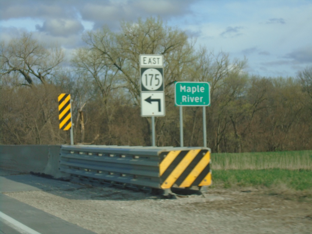
IA-175 East at IA-37 Junction and Maple River Bridge
IA-175 East at IA-37 Junction bridge over Maple River.
Taken 05-01-2022

 Onawa
Monona County
Iowa
United States
Onawa
Monona County
Iowa
United States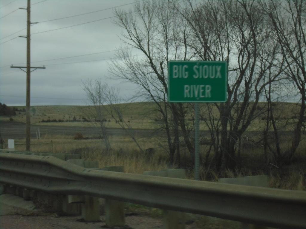
SD-34 East - Big Sioux River
SD-34 East - Big Sioux River
Taken 05-01-2022
 Egan
Moody County
South Dakota
United States
Egan
Moody County
South Dakota
United States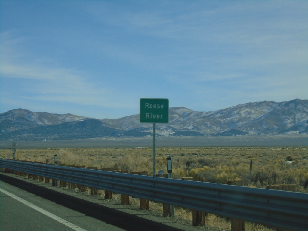
US-50 East - Reese River
US-50 east at the Reese River in Lander County. The Reese River starts in the Toyiabe Range, south of here, and flows north to the Humboldt River near Battle Mountain.
Taken 01-15-2022
 Austin
Lander County
Nevada
United States
Austin
Lander County
Nevada
United States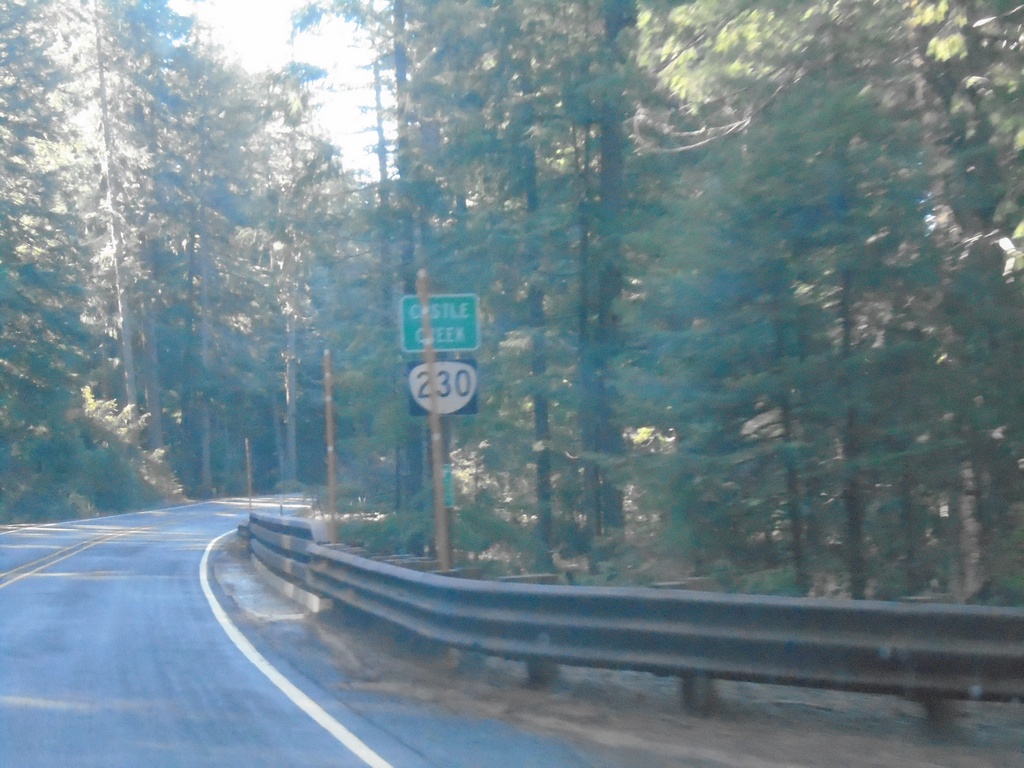
OR-230 West - Castle Creek
OR-230 west crossing Castle Creek.
Taken 11-20-2021
 Prospect
Jackson County
Oregon
United States
Prospect
Jackson County
Oregon
United States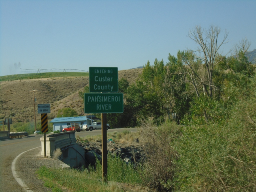
US-93 South - Custer County/Pahsimeroi River
US-93 South Entering Custer County at the Pahsimeroi River
Taken 07-03-2021
 Ellis
Custer County
Idaho
United States
Ellis
Custer County
Idaho
United States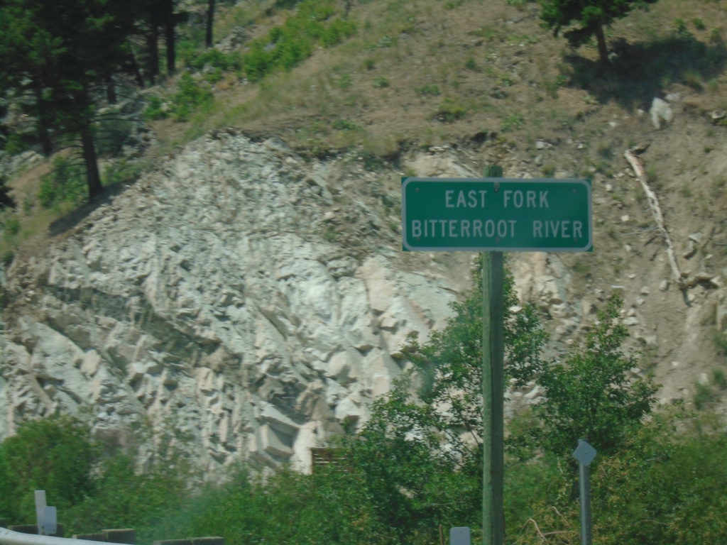
US-93 North - East Fork Bitterroot River
East Fork Bitterroot River bridge on US-93 North.
Taken 07-02-2021
Sula
Ravalli County
Montana
United States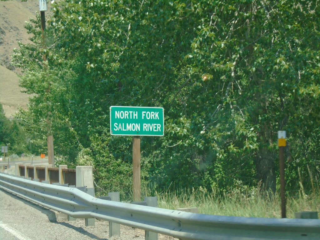
US-93 North - North Fork Salmon River
US-93 North at North Fork Salmon River bridge.
Taken 07-02-2021
North Fork
Lemhi County
Idaho
United States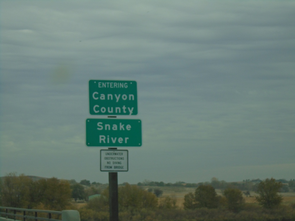
ID-55 North - Canyon County/Snake River
ID-55 north crossing the Snake River and entering Canyon County.
Taken 11-06-2020
 Marsing
Owyhee County
Idaho
United States
Marsing
Owyhee County
Idaho
United States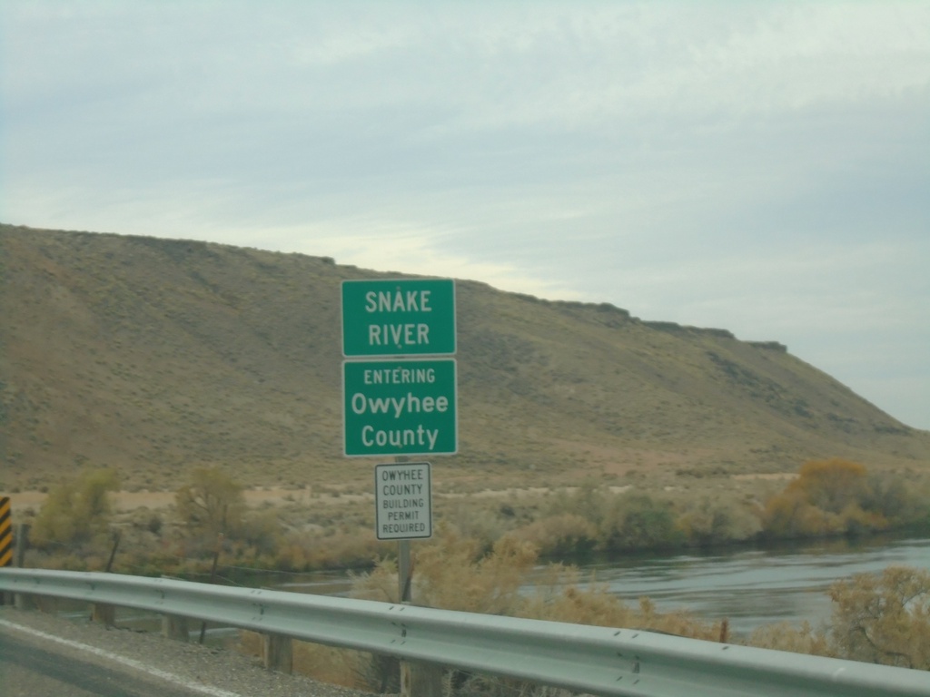
ID-78 West - Owyhee County/Snake River
Entering Owyhee County on ID-78 West at the Snake River bridge.
Taken 11-06-2020
 Hammett
Elmore County
Idaho
United States
Hammett
Elmore County
Idaho
United States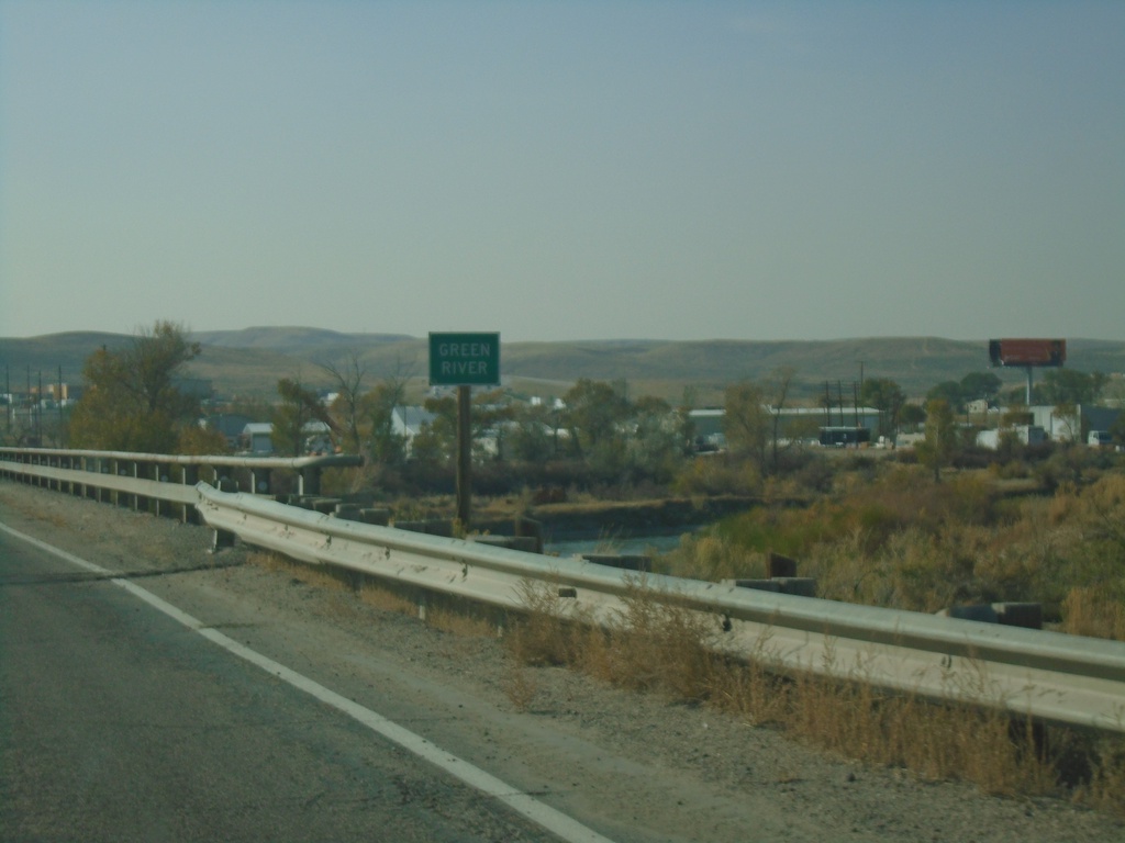
WY-374 West - Green River
Green River bridge on WY-374 west.
Taken 10-03-2020
 Green River
Sweetwater County
Wyoming
United States
Green River
Sweetwater County
Wyoming
United States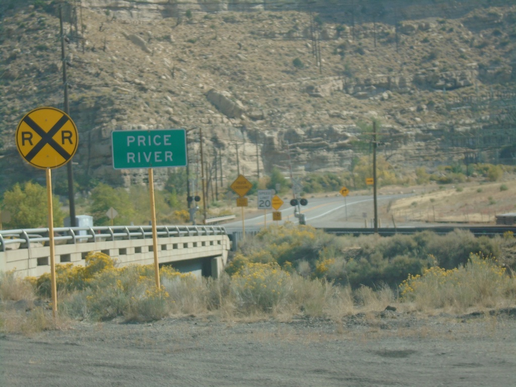
US-191 North - Price River
Price River on US-191 north in Carbon County.
Taken 10-03-2020
 Helper
Carbon County
Utah
United States
Helper
Carbon County
Utah
United States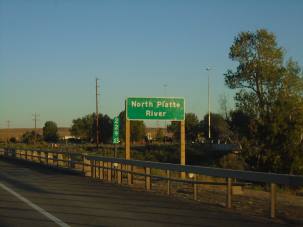
I-80 West - North Platte River
I-80 west crossing the North Platte River in Carbon County. Milemarker 229.03 in the background.
Taken 08-15-2020


 Sinclair
Carbon County
Wyoming
United States
Sinclair
Carbon County
Wyoming
United States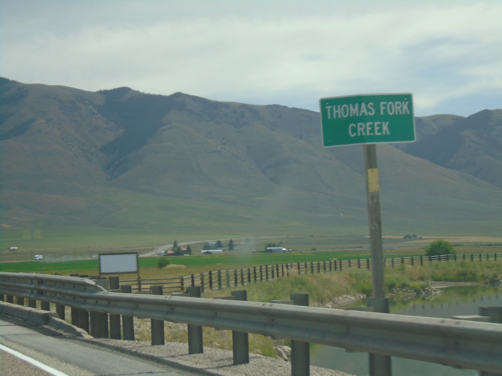
US-30 East - Thomas Fork Creek
US-30 east at Thomas Fork Creek
Taken 08-13-2020
Montpelier
Bear Lake County
Idaho
United States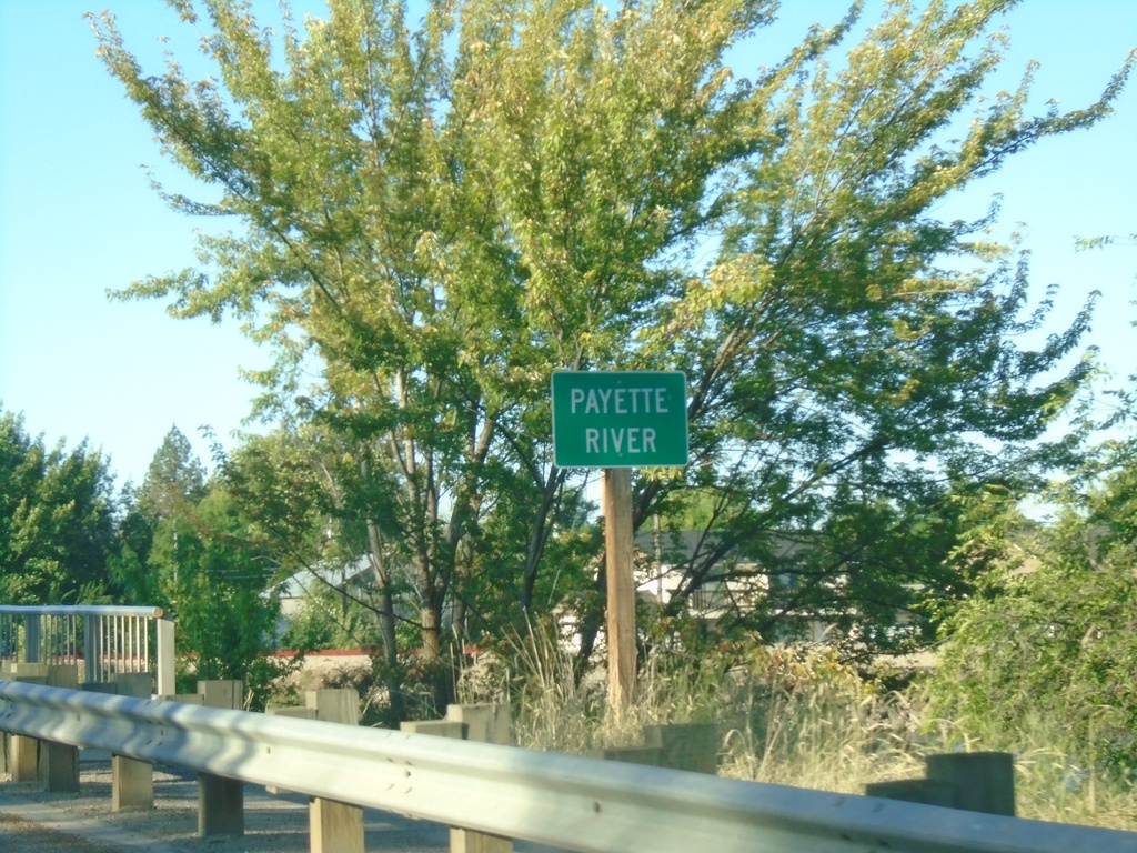
ID-52 West at Payette River
ID-52 west at Payette River in Emmett.
Taken 06-19-2020
 Emmett
Gem County
Idaho
United States
Emmett
Gem County
Idaho
United States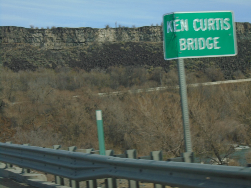
ID-46 North - Ken Curtis Bridge
Ken Curtis Bridge over the Snake River on ID-46 north.
Taken 04-04-2020
 Buhl
Twin Falls County
Idaho
United States
Buhl
Twin Falls County
Idaho
United States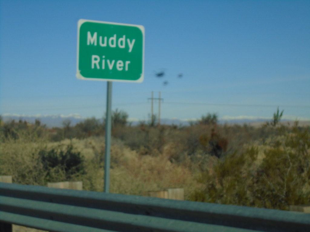
NV-168 West - Muddy River
NV-168 West at the Muddy River
Taken 11-30-2019
 Moapa
Clark County
Nevada
United States
Moapa
Clark County
Nevada
United States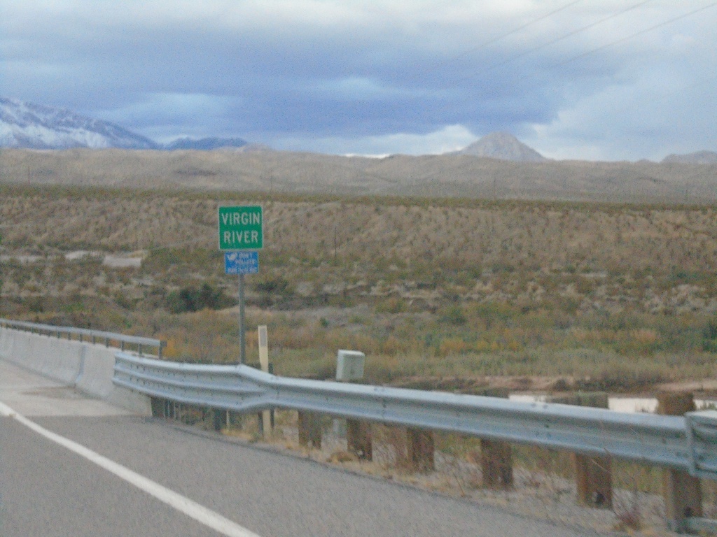
NV-170 East - Virgin River
Virgin River bridge on NV-170 east
Taken 11-29-2019
 Bunkerville
Clark County
Nevada
United States
Bunkerville
Clark County
Nevada
United States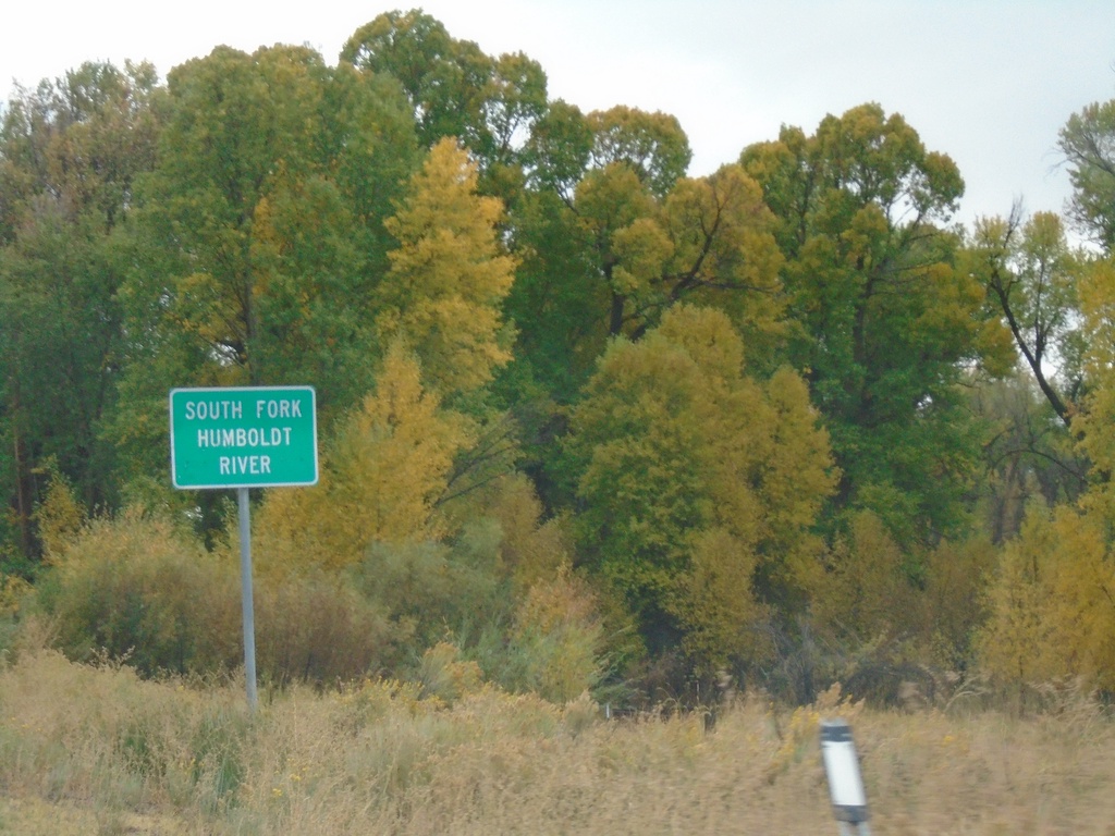
NV-228 South - South Fork Humboldt River
South Fork of the Humboldt River on NV-228 South.
Taken 09-28-2019
 South Fork
Elko County
Nevada
United States
South Fork
Elko County
Nevada
United States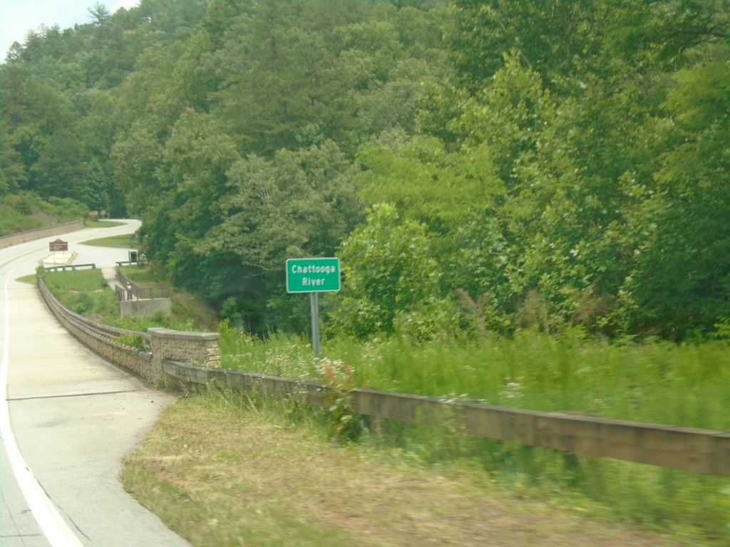
US-76 East - Chattooga River
Chattooga River on US-76 east. The Chattooga River is the boundary between Georgia and South Carolina.
Taken 06-22-2019
 Mountain Rest
Oconee County
South Carolina
United States
Mountain Rest
Oconee County
South Carolina
United States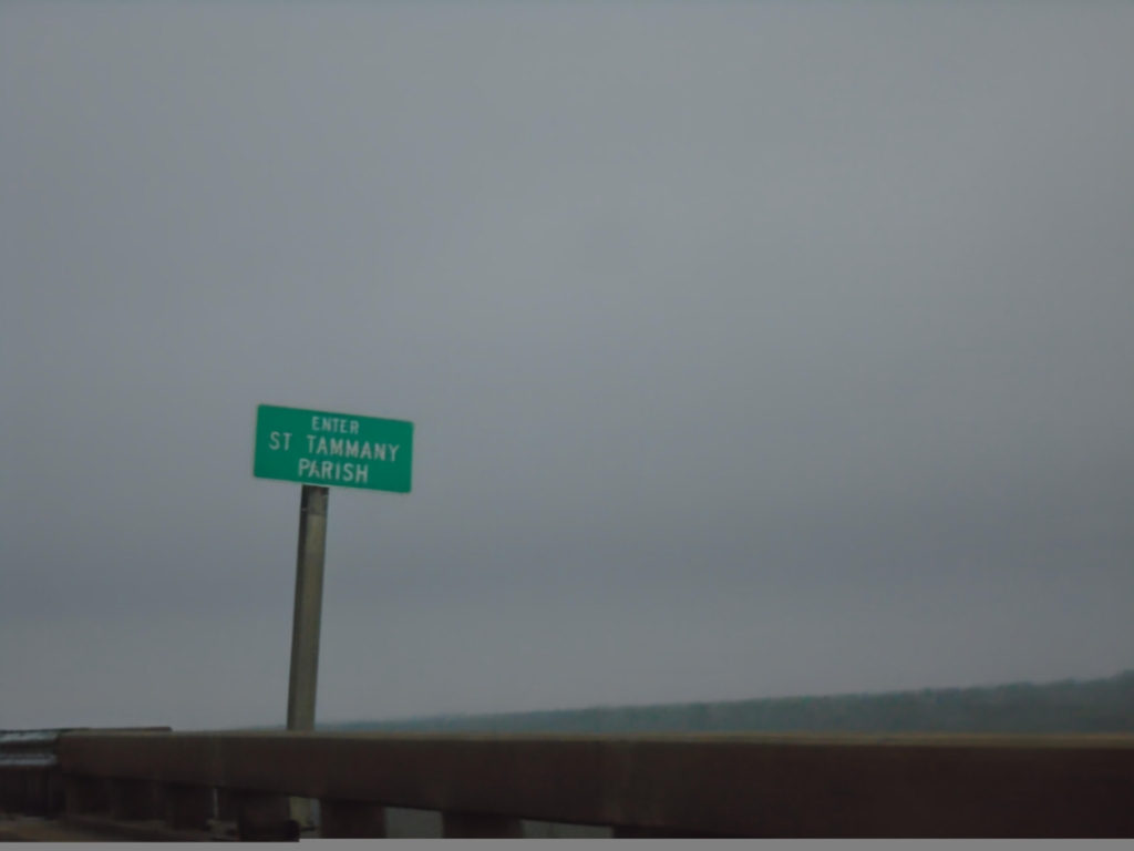
I-10 West - St. Tammany Parish
Enter St. Tammany Parish on I-10 west at the Pearl River bridge. Taken at the Mississippi-Louisiana State Line.
Taken 12-27-2018
 Slidell
St. Tammany Parish
Louisiana
United States
Slidell
St. Tammany Parish
Louisiana
United States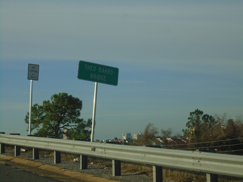
FL-292 West - Theo Baars Bridge
FL-292 West at Theo Baars Bridge over the Intracostal Waterway.
Taken 12-26-2018
 Pensacola
Escambia County
Florida
United States
Pensacola
Escambia County
Florida
United States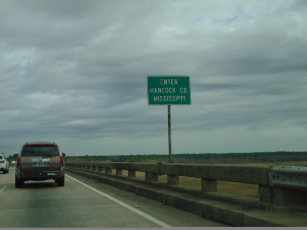
I-10 East - Enter Hancock County Mississippi
Enter Hancock County Mississippi on I-10 east. Taken on the Pearl River bridge.
Taken 12-23-2018
Slidell
Hancock County
Mississippi
United States