Signs Tagged With Bridge
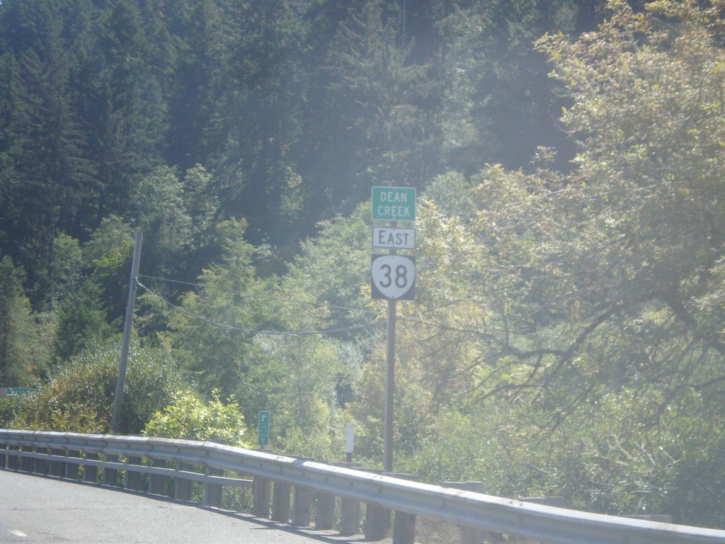
OR-38 East - Dean Creek
OR-38 east at Dean Creek bridge.
Taken 08-22-2015
 Reedsport
Douglas County
Oregon
United States
Reedsport
Douglas County
Oregon
United States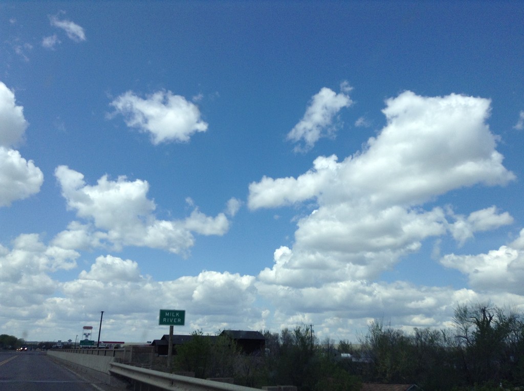
US-2 West/US-191 North - Milk River
US-2 West/US-191 North crossing the Milk River
Taken 05-09-2015

 Malta
Phillips County
Montana
United States
Malta
Phillips County
Montana
United States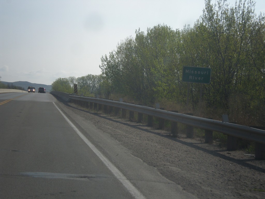
ND-58 North - Missouri River
Crossing the Missouri River on ND-58 North. This bridge is a few miles upstream from the confluence with the Yellowstone River.
Taken 05-09-2015
 Fairview
McKenzie County
North Dakota
United States
Fairview
McKenzie County
North Dakota
United States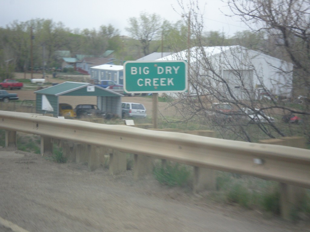
MT-200 East - Big Dry Creek
MT-200 east at Big Dry Creek in Jordan. When this picture was taken, it was a rainy day, and the creek was quite wet.
Taken 05-08-2015
 Jordan
Garfield County
Montana
United States
Jordan
Garfield County
Montana
United States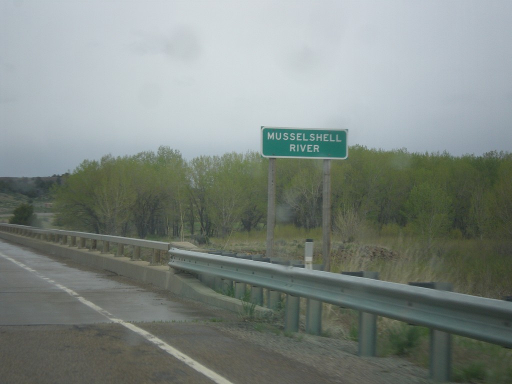
MT-200 East - Musselshell River
MT-200 east at the Musselshell River. The Musselshell River is a tributary of the Missouri River, running east-west through central Montana.
Taken 05-08-2015
Mosby
Petroleum County
Montana
United States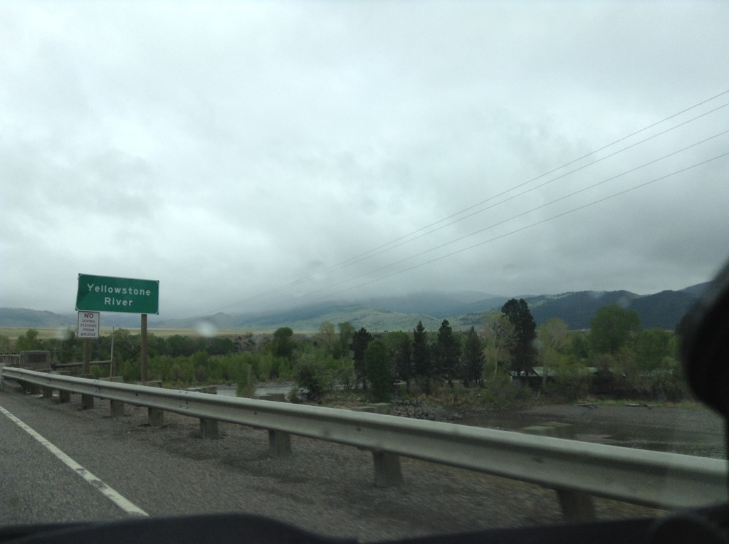
I-90 East - Yellowstone River
I-90 east crossing the Yellowstone River. This is the first crossing of the Yellowstone River on I-90. I-90 follows the Yellowstone River east to Bilings; thence I-94 follows it down to Glendive, Montana near the North Dakota line.
Taken 05-08-2015

 Livingston
Park County
Montana
United States
Livingston
Park County
Montana
United States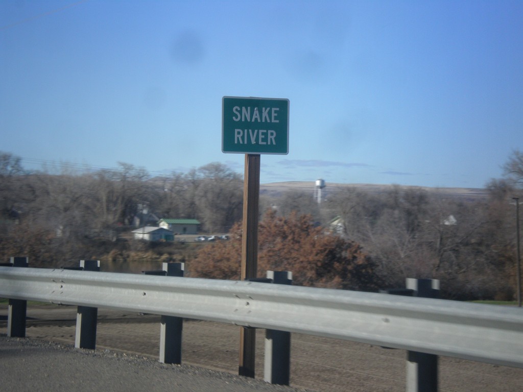
US-20/US-26 West - Snake River
US-20/US-26 West at the Snake River. The Snake River marks the boundary between Oregon and Idaho, starting just south of here.
Taken 12-14-2014

 Parma
Canyon County
Idaho
United States
Parma
Canyon County
Idaho
United States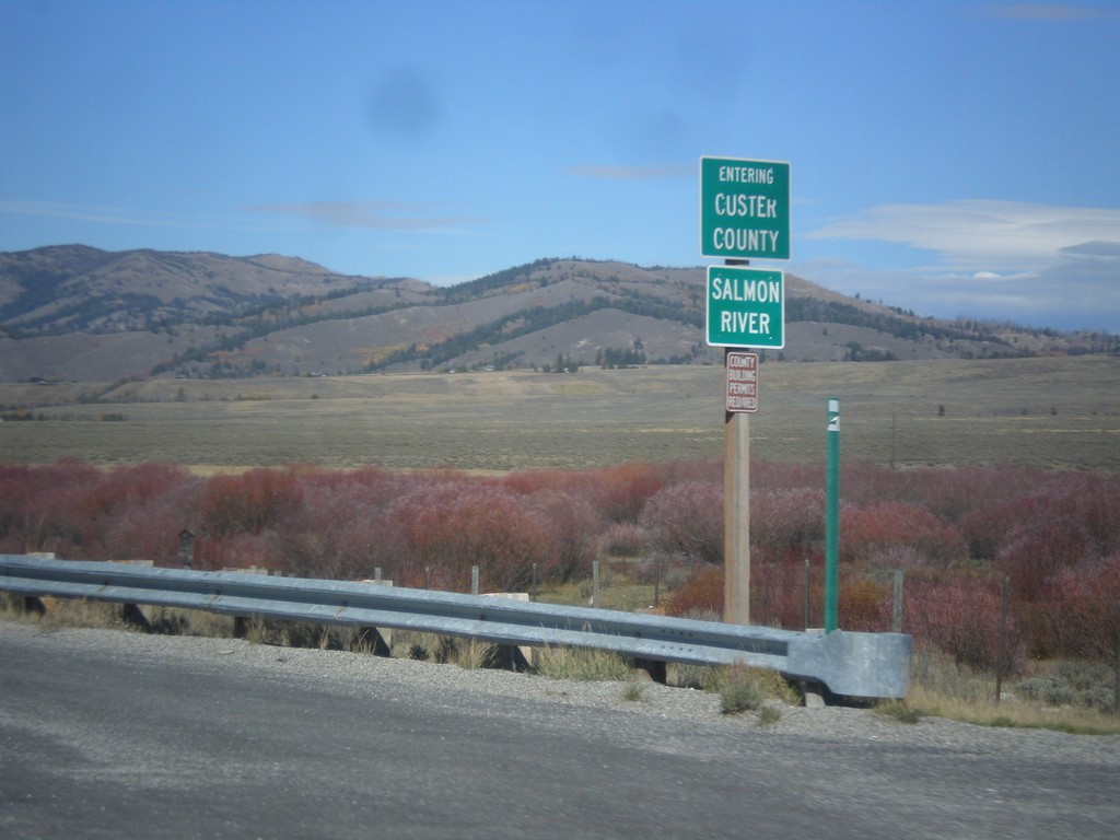
ID-75 North - Entering Custer County
Entering Custer County on ID-75 north at the Salmon River.
Taken 10-04-2014
 Obsidian
Custer County
Idaho
United States
Obsidian
Custer County
Idaho
United States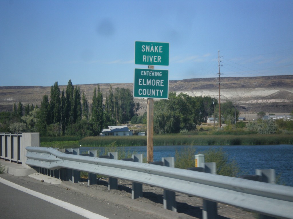
ID-51 North - Entering Elmore County
Entering Elmore County on ID-51 north, on the bridge over the Snake River.
Taken 08-31-2014
 Mountain Home
Elmore County
Idaho
United States
Mountain Home
Elmore County
Idaho
United States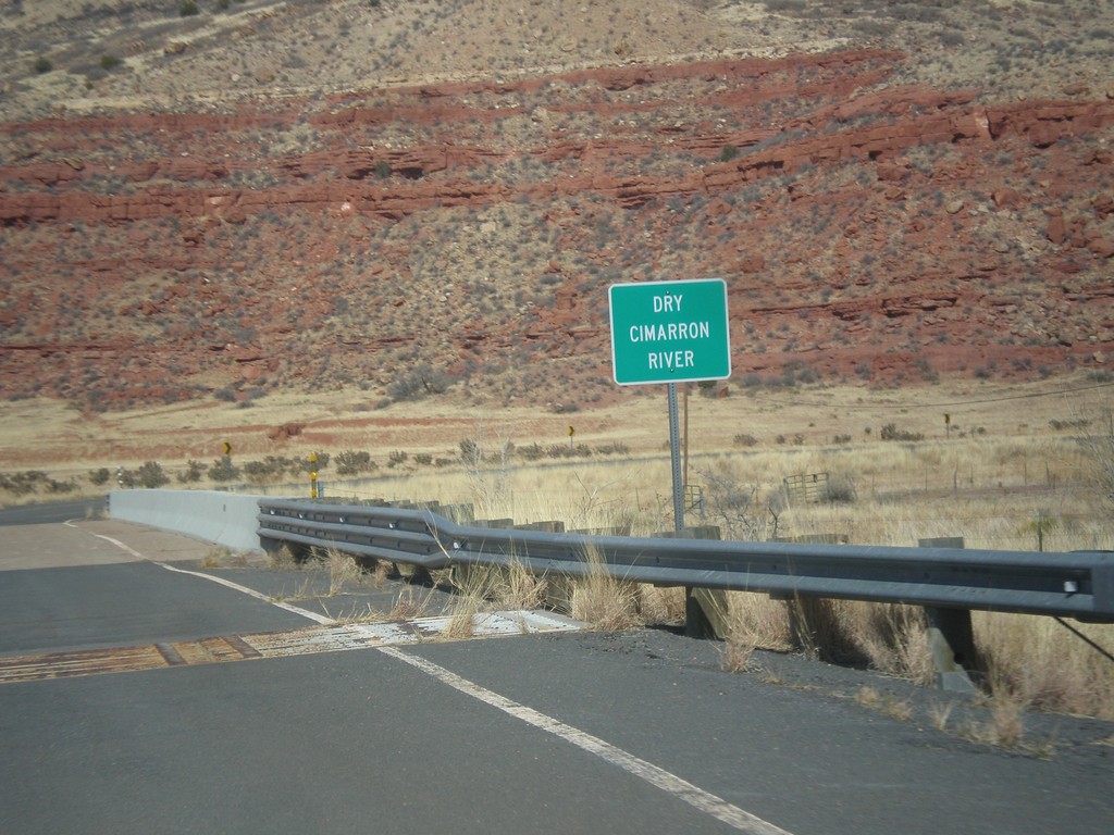
NM-456 - Dry Cimarron River
Crossing the Dry Cimarron River on NM-456 east. The Dry Cimarron River is known as the Cimarron River when it crosses into Oklahoma. When this photo was taken in the spring of 2014, there were puddles in the river.
Taken 03-29-2014
 Folsom
Union County
New Mexico
United States
Folsom
Union County
New Mexico
United States