Signs Tagged With County Line
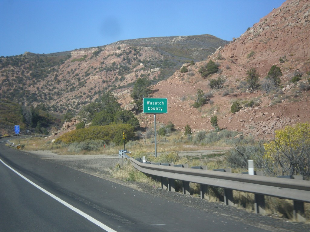
US-40 West - Entering Wasatch County
Wasatch County on US-40 west.
Taken 10-09-2016
 Fruitland
Wasatch County
Utah
United States
Fruitland
Wasatch County
Utah
United States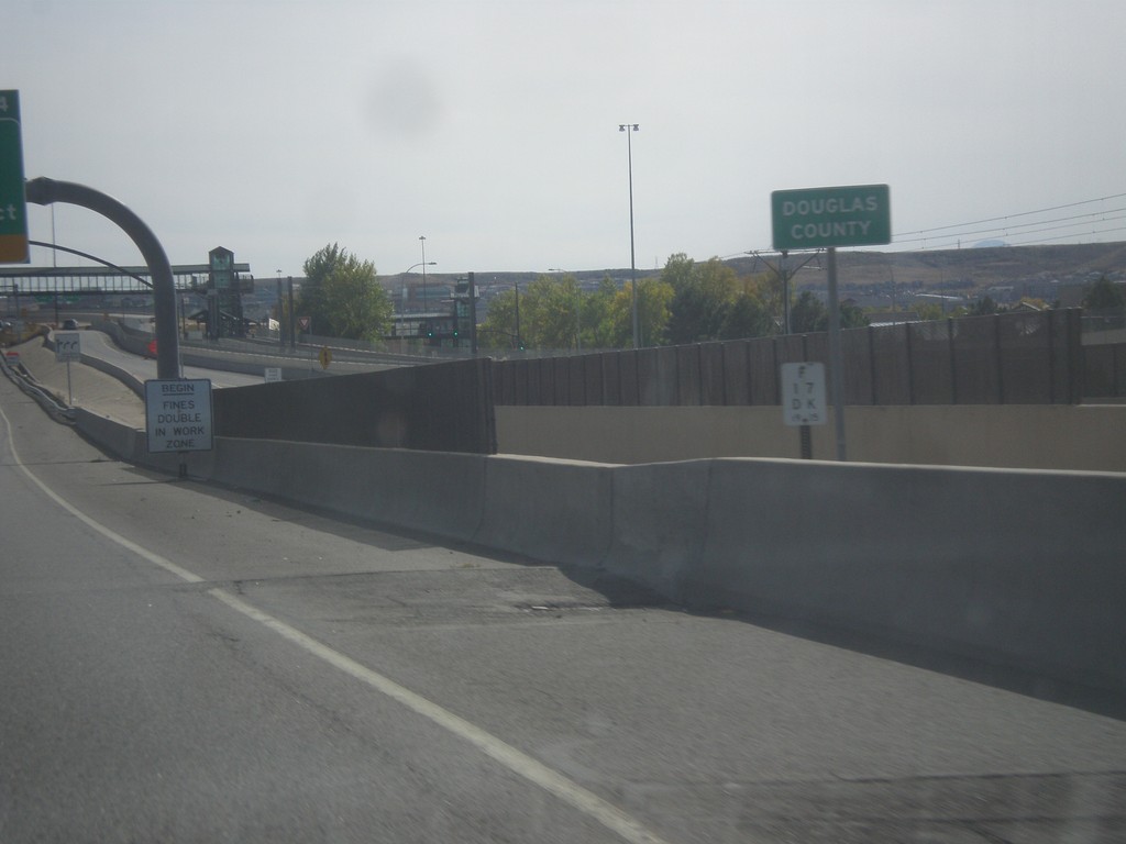
I-25 South - Douglas County
Entering Douglas County on I-25 south.
Taken 10-08-2016

 Lone Tree
Douglas County
Colorado
United States
Lone Tree
Douglas County
Colorado
United States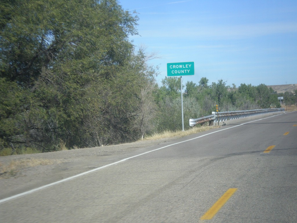
CO-167 North - Crowley County
Entering Crowley County on CO-167 north at the Arkansas River bridge.
Taken 10-08-2016
 Fowler
Crowley County
Colorado
United States
Fowler
Crowley County
Colorado
United States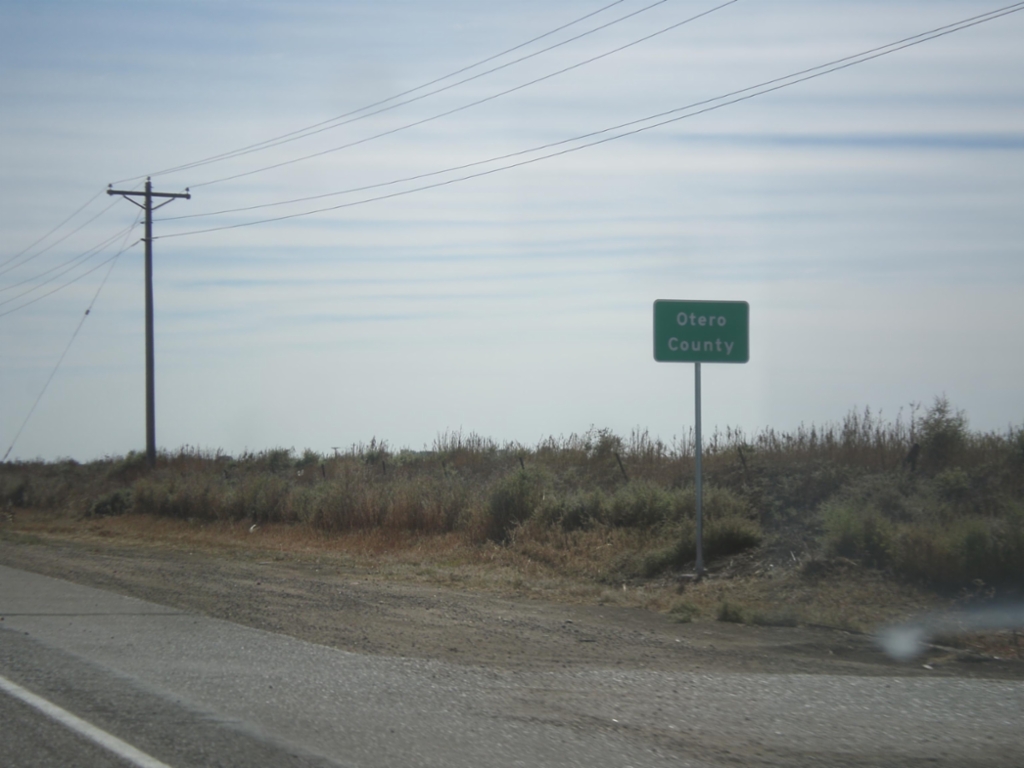
US-50 East - Otero County
Entering Otero County on US-50 east.
Taken 10-08-2016
 Fowler
Pueblo County
Colorado
United States
Fowler
Pueblo County
Colorado
United States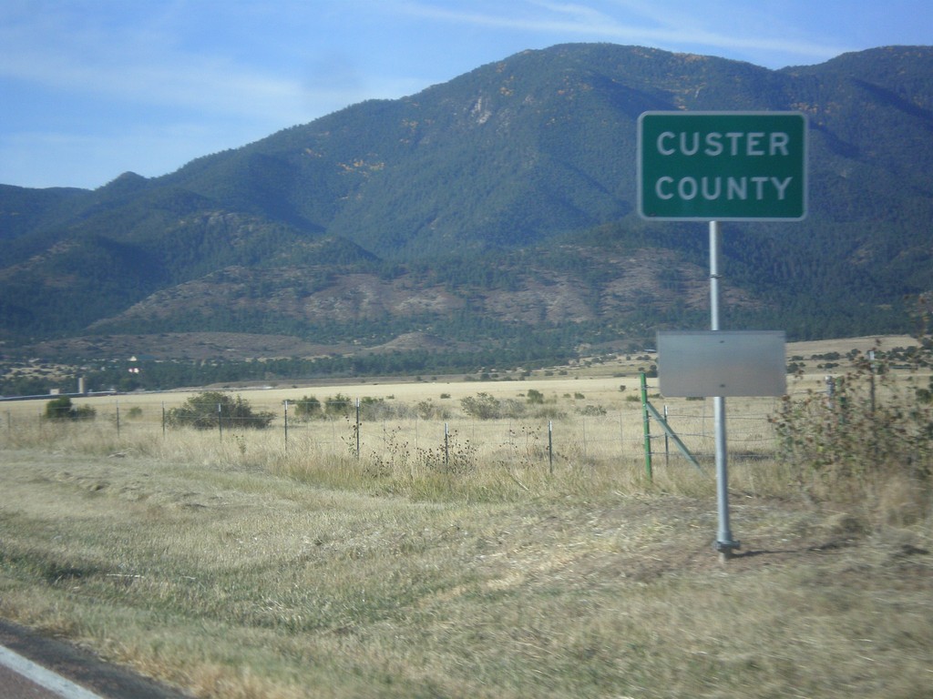
CO-67 South - Custer County
Entering Custer County on CO-67 south.
Taken 10-08-2016
 Wetmore
Custer County
Colorado
United States
Wetmore
Custer County
Colorado
United States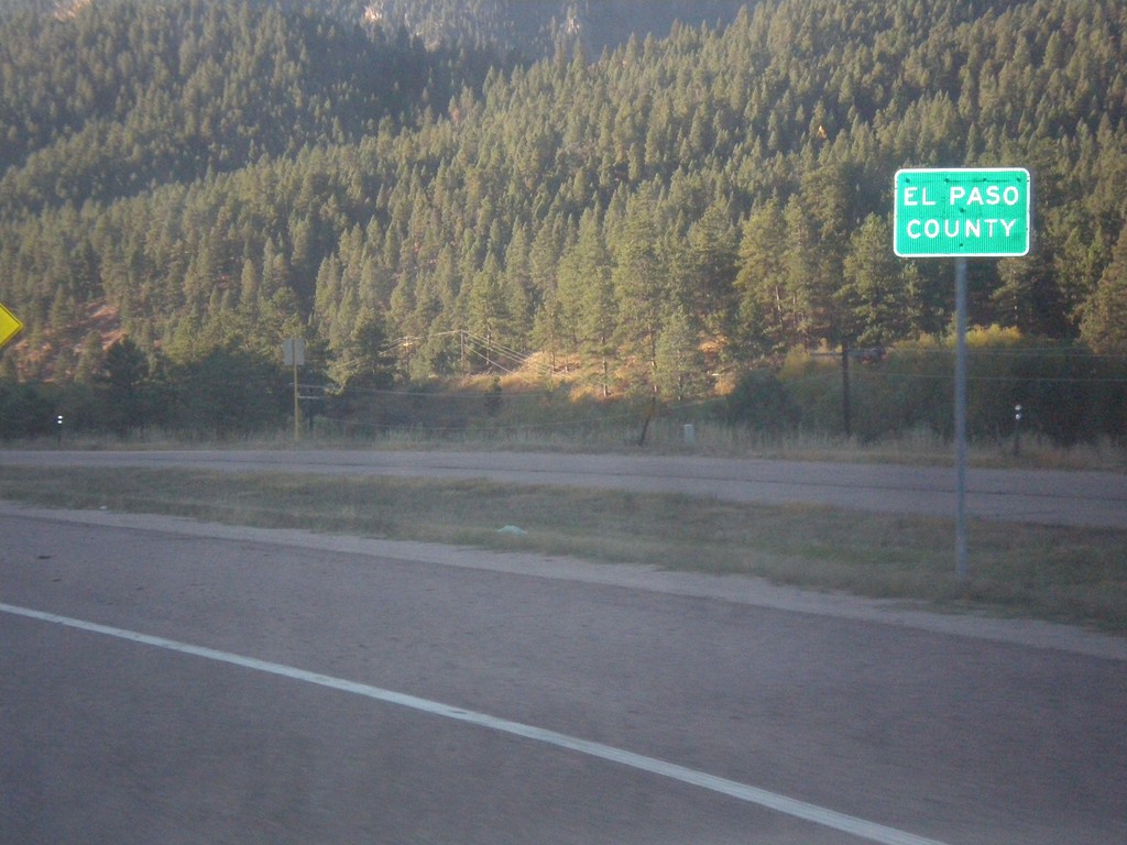
US-24 East - El Paso County
Entering El Paso County on US-24 east.
Taken 10-08-2016
 Woodland Park
El Paso County
Colorado
United States
Woodland Park
El Paso County
Colorado
United States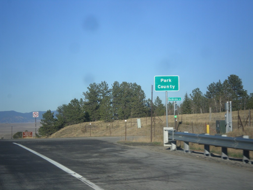
US-24 East/US-285 North - Park County
Entering Park County on US-24 East/US-285 North at Trout Creek Pass - 9,487 Feet.
Taken 10-07-2016
 Hartsel
Park County
Colorado
United States
Hartsel
Park County
Colorado
United States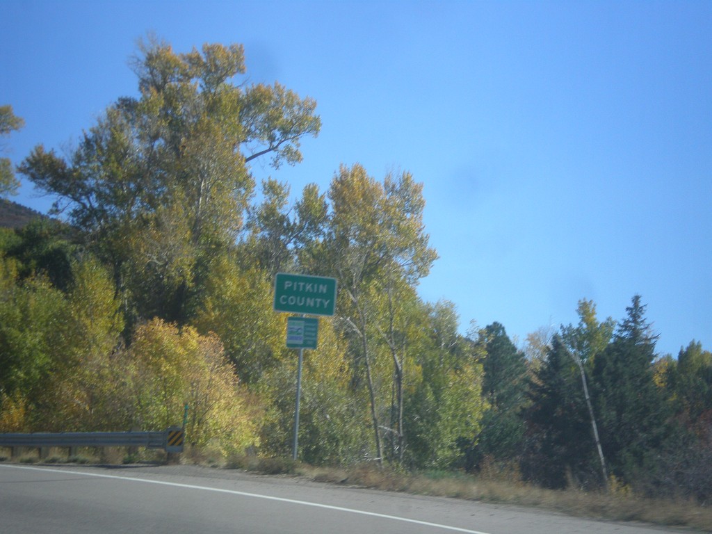
CO-82 East - Pitkin County
Entering Pitkin County on CO-82 east.
Taken 10-07-2016
 Basalt
Pitkin County
Colorado
United States
Basalt
Pitkin County
Colorado
United States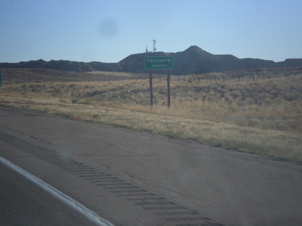
I-80 East - Sweetwater County
Entering Sweetwater County on I-80 east.
Taken 10-07-2016
 Sweetwater County
Wyoming
United States
Sweetwater County
Wyoming
United States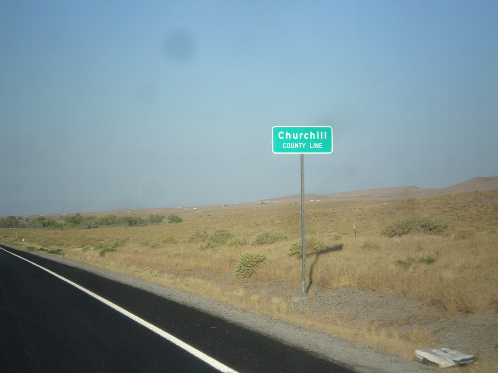
US-50 East - Churchill County Line
Churchill County Line on US-50 east.
Taken 08-15-2016
Fallon
Churchill County
Nevada
United States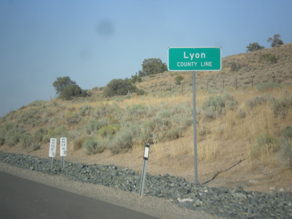
US-50 East - Lyon County
Lyon County Line on US-50 east.
Taken 08-15-2016
Mound House
Lyon County
Nevada
United States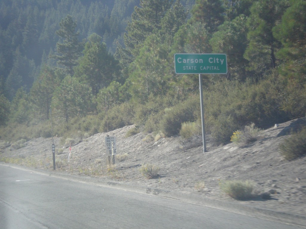
US-50 East - Carson City
US-50 East - Carson City - State Capital. Carson City is an independent city, and the capitol of Nevada. Instead of the text COUNTY LINE that is typical when entering a new county in Nevada, Carson City lists the text STATE CAPITAL.
Taken 08-15-2016
Carson City
Nevada
United States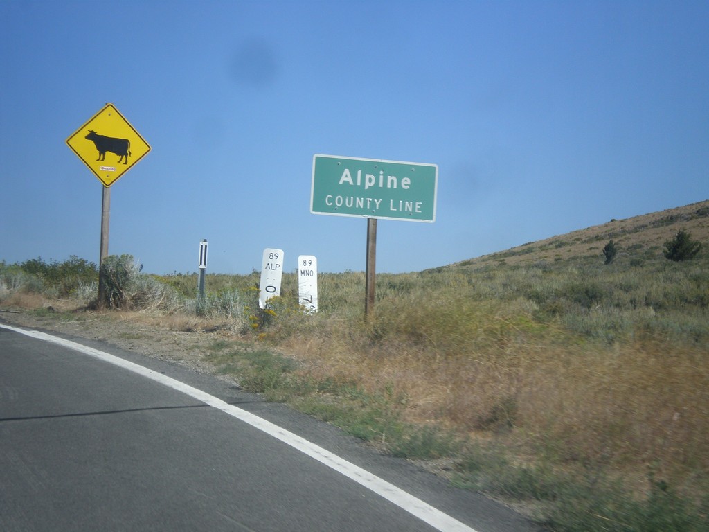
CA-89 North - Alpine County Line
Alpine County Line on CA-89 north. Open range.
Taken 08-12-2016
 Coleville
Mono County
California
United States
Coleville
Mono County
California
United States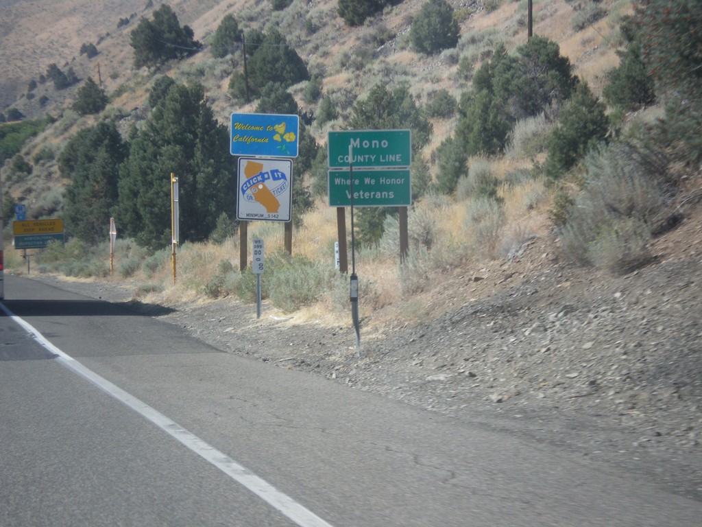
US-395 South - Welcome To California
Welcome to California / Mono County Line on US-395 south.
Taken 08-12-2016
 Coleville
Mono County
California
United States
Coleville
Mono County
California
United States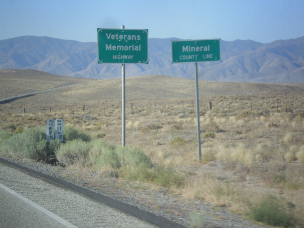
US-95 South - Mineral County
Mineral County Line on US-95 south. US-95 through Nevada is designated the Veterans Memorial Highway.
Taken 08-12-2016
 Schurz
Mineral County
Nevada
United States
Schurz
Mineral County
Nevada
United States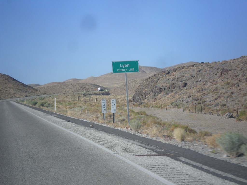
US-95 South - Lyon County
Lyon County Line on US-95 South. US-95 runs through a short 2 mile stretch of Lyon County.
Taken 08-12-2016
Fallon
Churchill County
Nevada
United States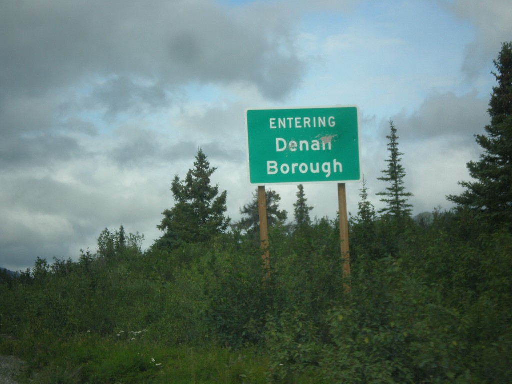
AK-8 West - Denali Borough
Entering Denali Borough on AK-8 west (Denali Highway).
Taken 07-23-2016
 Cantwell
Matanuska-Susitna
Alaska
United States
Cantwell
Matanuska-Susitna
Alaska
United States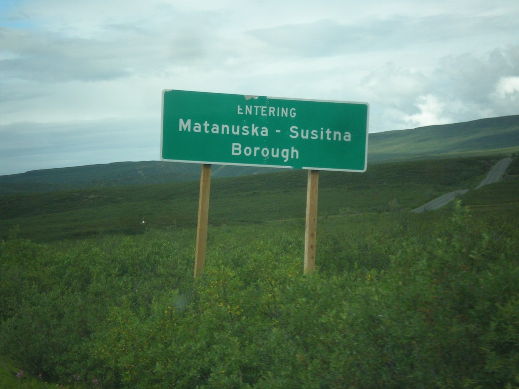
AK-8 West - Matanuska-Susitna Borough
Entering the Matanuska-Susitna Borough on AK-8 west (Denali Highway).
Taken 07-23-2016
Cantwell
Copper River Census Area
Alaska
United States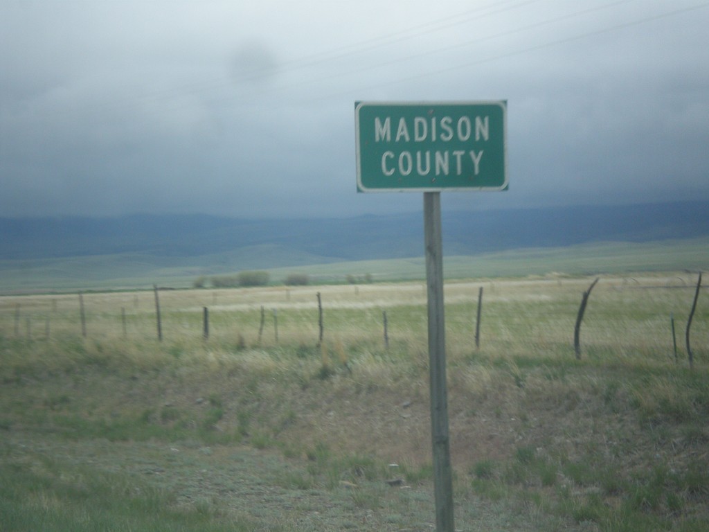
MT-55 South - Madison County
Entering Madison County on MT-55 south.
Taken 05-15-2016
 Whitehall
Madison County
Montana
United States
Whitehall
Madison County
Montana
United States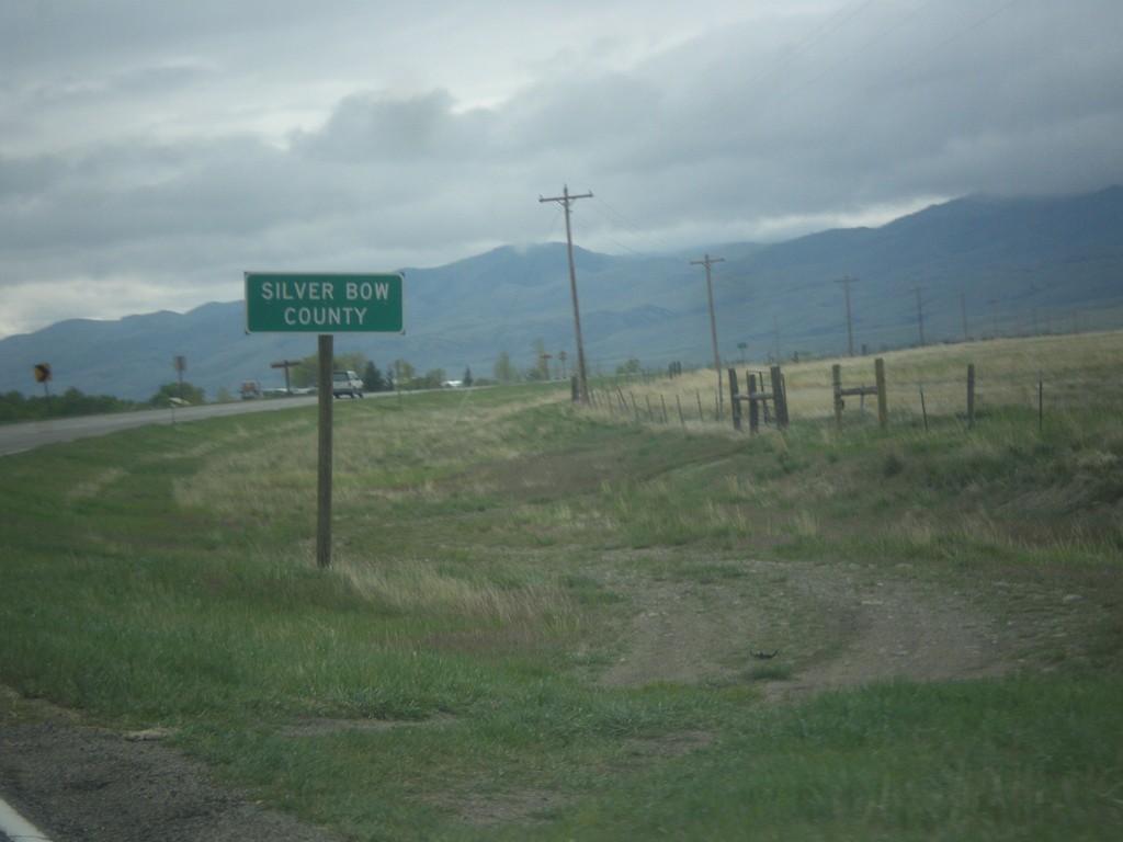
MT-55 South - Silver Bow County
Entering Silver Bow County on MT-55 south. MT-55 crosses a tiny sliver of Silver Bow County.
Taken 05-15-2016
Whitehall
Silver Bow County
Montana
United States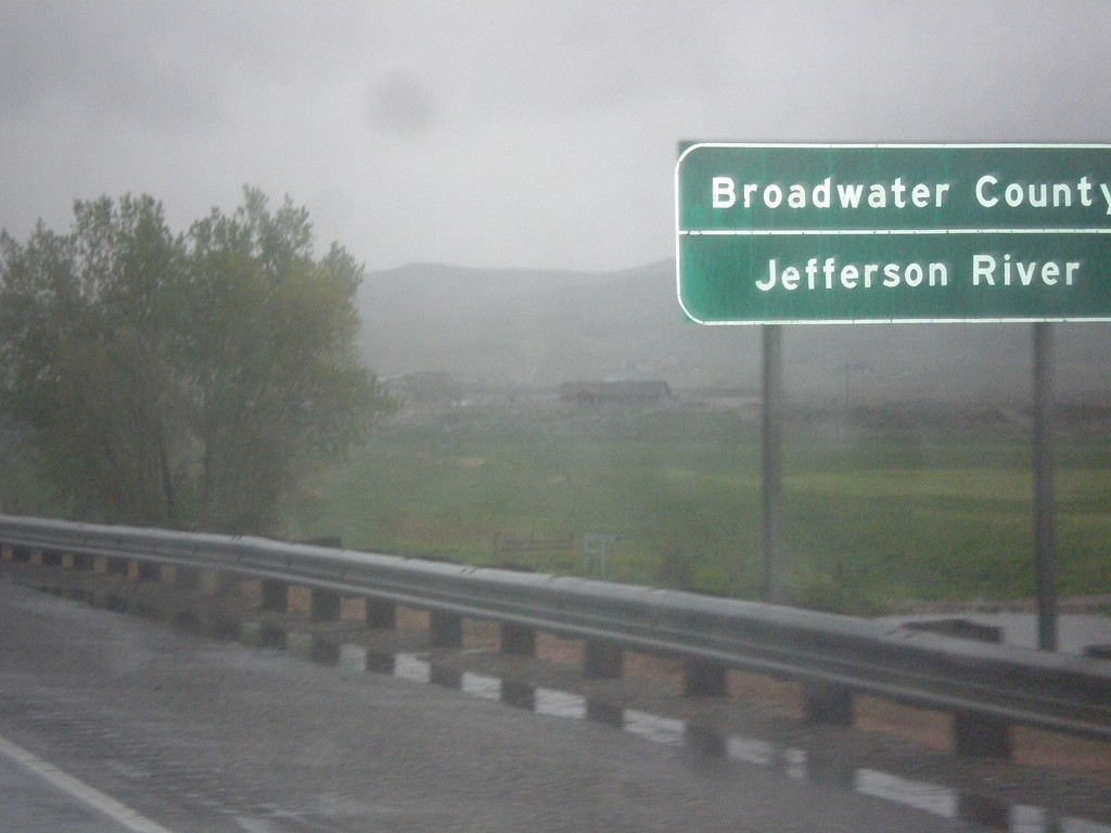
I-90 West - Broadwater County
Entering Broadwater County on I-90 east at the Jefferson River. The Jefferson River is one of the three forks of the Missouri River, the other two being the Madison and Gallatin Rivers.
Taken 05-15-2016
 Three Forks
Broadwater County
Montana
United States
Three Forks
Broadwater County
Montana
United States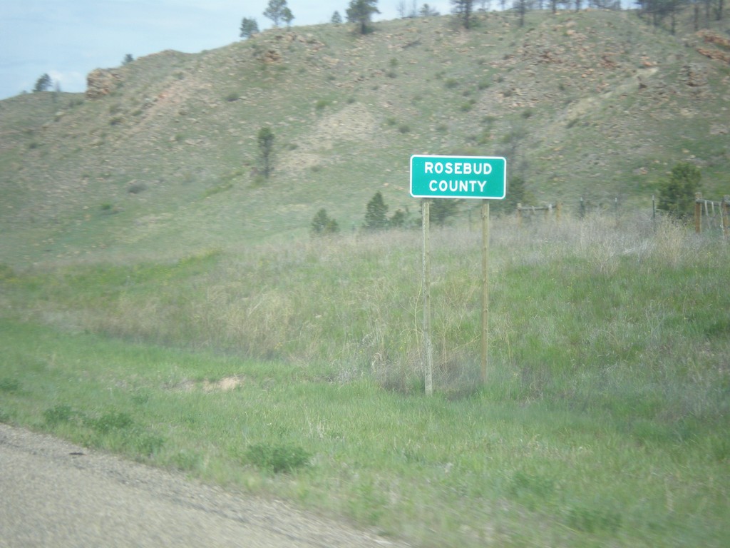
US-212 West - Rosebud County
Entering Rosebud County on US-212 west.
Taken 05-15-2016
 Ashland
Powder River County
Montana
United States
Ashland
Powder River County
Montana
United States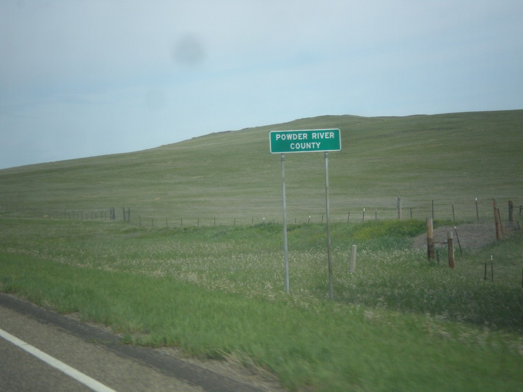
US-212 West - Powder River County
Entering Powder River County on US-212 west.
Taken 05-15-2016
Broadus
Powder River County
Montana
United States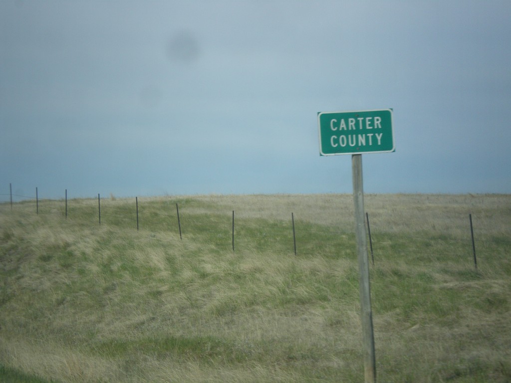
MT-7 South - Carter County
Entering Carter County on MT-7 south.
Taken 05-15-2016
 Ekalaka
Carter County
Montana
United States
Ekalaka
Carter County
Montana
United States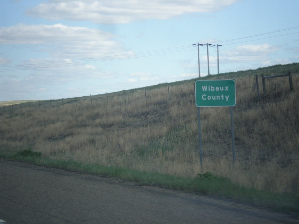
I-94 East - Wibaux County
Entering Wibaux County on I-94 east.
Taken 05-14-2016
 Wibaux
 County
Montana
United States
Wibaux
Wibaux County
Montana
United States