Signs Tagged With Distance Marker
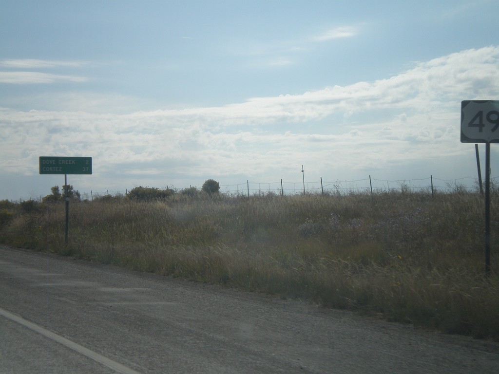
US-491 South - Distance Marker
Distance marker on US-491 south just past the CO-141 junction. Distance to Dove Creek and Cortez.
Taken 10-02-2011
 Dove Creek
Dolores County
Colorado
United States
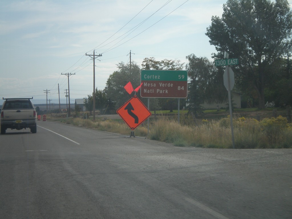
US-491 South - Distance Marker
Distance marker on US-491 south. Distance to Cortez and Mesa Verde National Park (both in Colorado). Taken on the east side of Monticello.
Taken 10-02-2011
 Monticello
San Juan County
Utah
United States
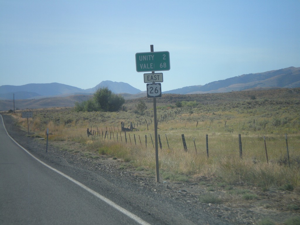
US-26 East - Distance Marker
Distance marker on US-26 east to Unity and Vale.
Taken 09-04-2011
 Unity
Baker County
Oregon
United States
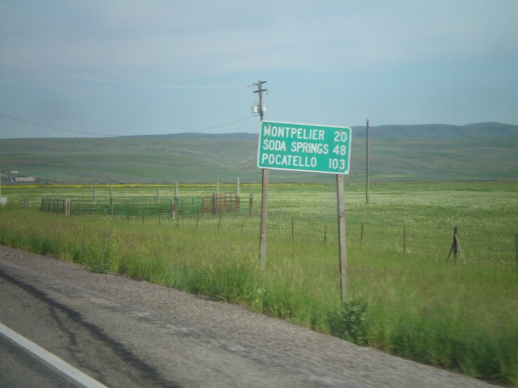
US-30 West - Distance Marker
First distance marker on US-30 west in Idaho. Distance to Montpelier, Soda Springs, and Pocatello.
Taken 07-05-2011
 Montpelier
Bear Lake County
Idaho
United States
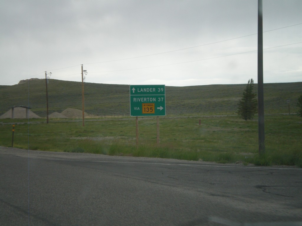
US-287/WY-789 North at WY-135
US-287/WY-789 North at WY-135 junction. Use WY-135 north for Riverton, continue on US-287/WY-789 for Lander. Taken in the community of Sweetwater Station.
Taken 07-04-2011


 Sweetwater Station
Fremont County
Wyoming
United States
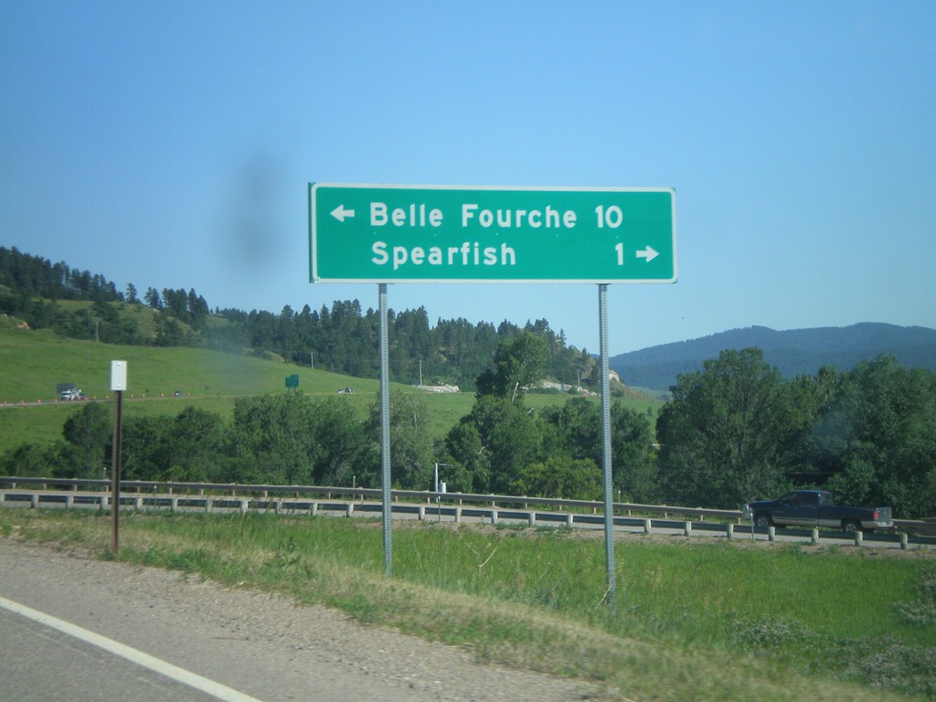
I-90/US-14 East at US-85
I-90/US-14 East (Exit 10) at US-85. Turn left for US-85 North to Belle Fourche. Turn right for BL-90 to Spearfish.
Taken 07-03-2011


 Spearfish
Lawrence County
South Dakota
United States
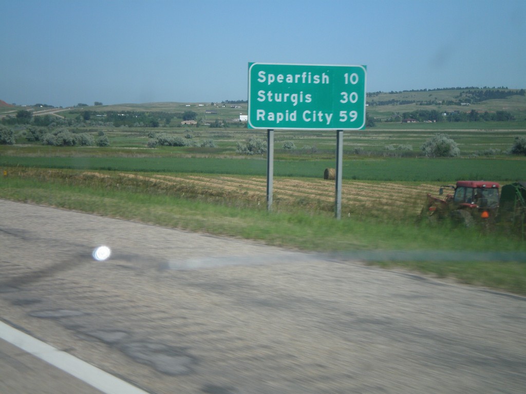
I-90 East - Distance Marker
First distance marker on I-90 east in South Dakota. Distance to Spearfish, Sturgis, and Rapid City.
Taken 07-03-2011

 Spearfish
Lawrence County
South Dakota
United States
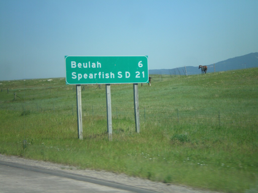
I-90 East - Distance Marker
Distance marker on I-90 east to Beulah, and Spearfish, SD. Taken just east of WY-111 junction.
Taken 07-03-2011

 Beulah
Crook County
Wyoming
United States
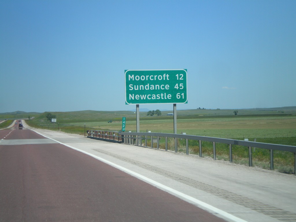
I-90 East - Distance Marker
Distance marker on I-90/US-14/US-16 east in Campbell County, Wyoming. Distance to Moorcroft, Sundance, and Newcastle (via US-16).
Taken 07-03-2011


 Rozet
Campbell County
Wyoming
United States
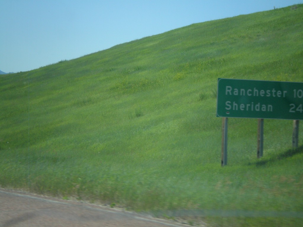
I-90 East - Distance Marker
First distance marker in Wyoming along I-90 East/US-87 South. Distance to Ranchester and Sheridan.
Taken 07-03-2011

 Parkman
Sheridan County
Wyoming
United States