Signs Tagged With Distance Marker
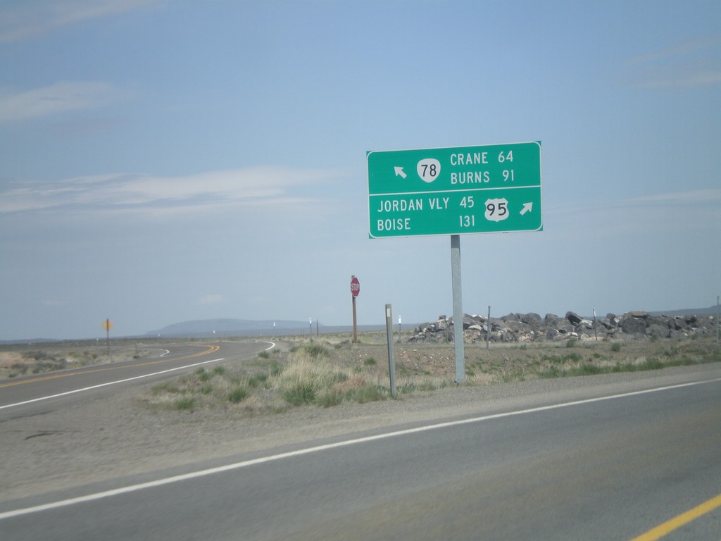
US-95 North at OR-78
US-95 north at OR-78 west. Merge left for OR-78 to Burns and Crane. Merge right for US-95 to Jordan Valley and Boise.
Taken 04-20-2010

 Jordan Valley
Malheur County
Oregon
United States
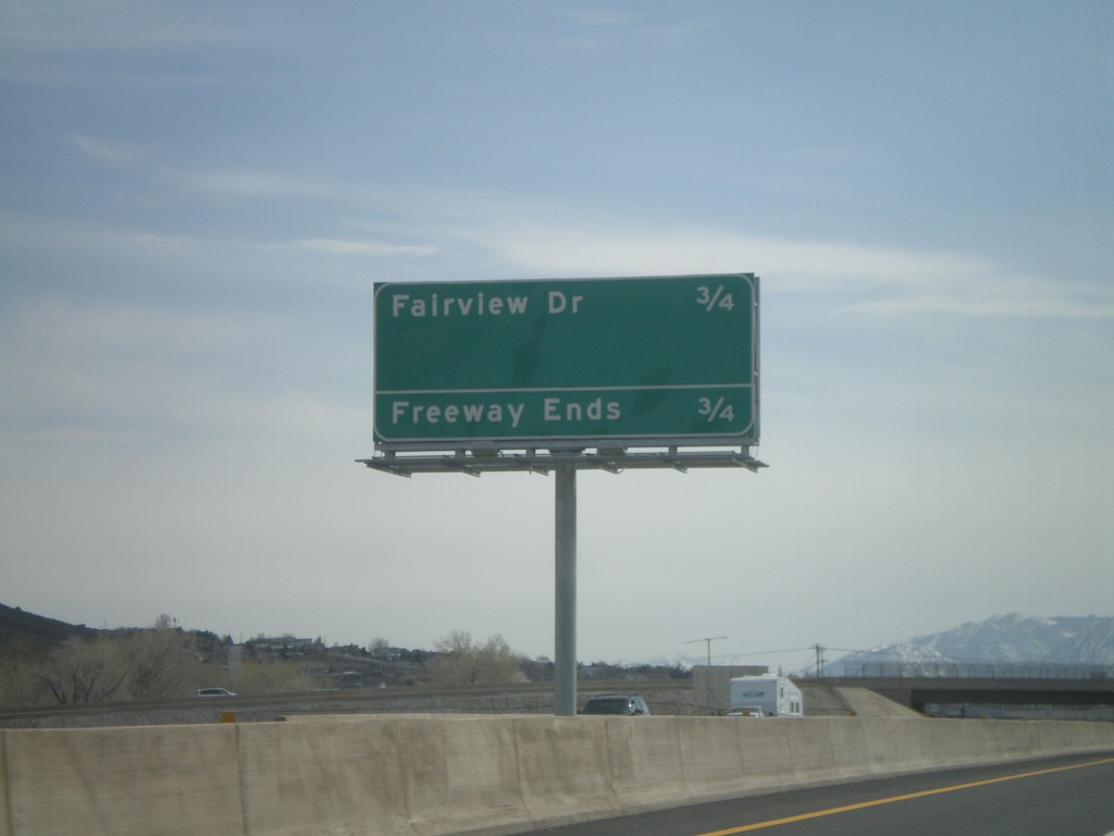
US-395 South/US-50 West - Distance Marker
Distance marker on US-395 South/US-50 west along the Carson City Bypass. Distance to Fairview Drive, which is the current end of the Carson City Bypass.
Taken 04-15-2010

 Carson City
Nevada
United States
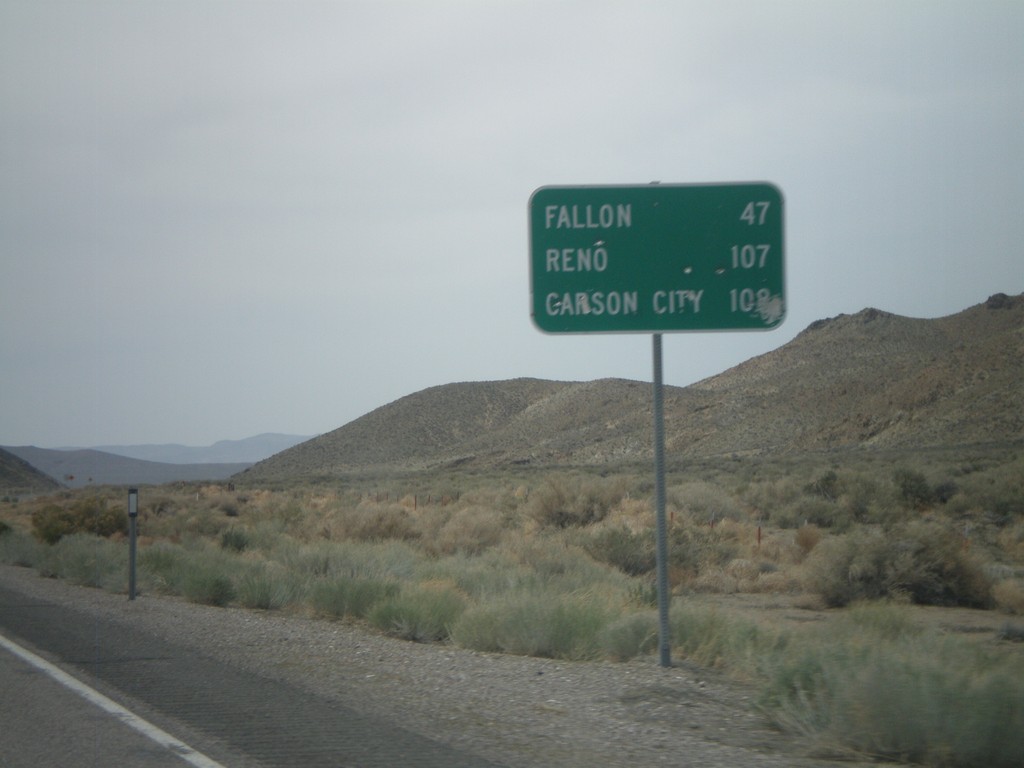
US-50 West - Distance Marker
Distance marker on US-50 west to Fallon, Carson City, and Reno.
Taken 04-15-2010
 Fallon
Churchill County
Nevada
United States
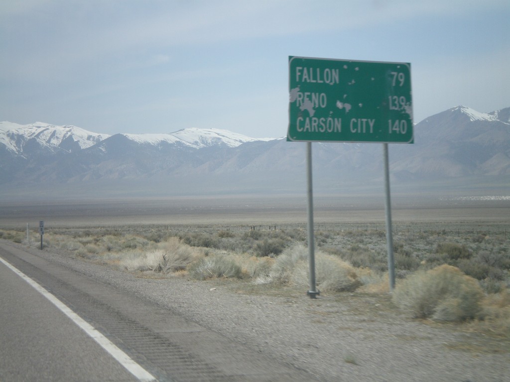
US-50 West - Distance Marker
Distance marker on US-50 west to Fallon, Reno, and Carson City.
Taken 04-15-2010
 Fallon
Churchill County
Nevada
United States
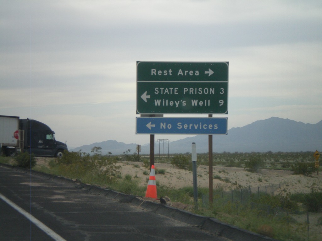
I-10 West - Exit 222 Offramp
I-10 west at Exit 222 offramp - Wiley’s Well. Turn south for Wiley’s Well Road, north for Rest Area.
Taken 03-22-2010
 Blythe
Riverside County
California
United States
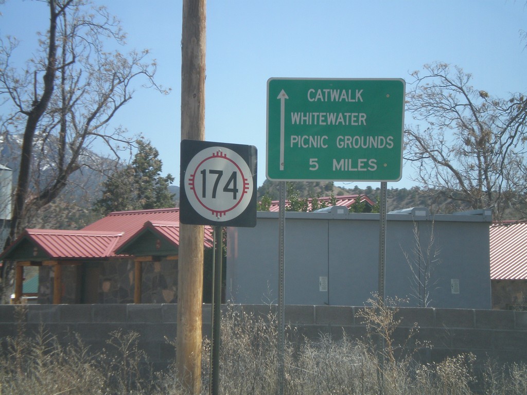
NM-174 East
NM-174 east at US-180. Use NM-174 east for the Catwalk, and Whitewater Picnic Grounds.
Taken 03-21-2010

 Mogollon
Catron County
New Mexico
United States
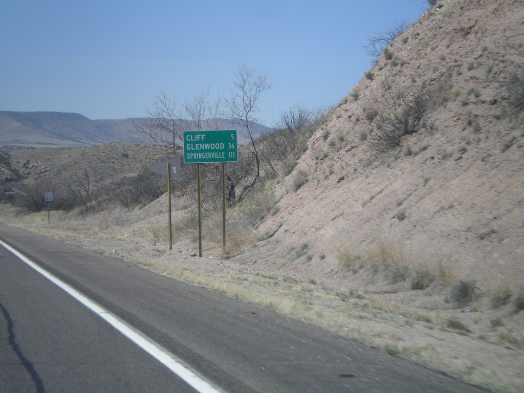
US-180 West - Distance Marker
Distance marker on US-180 west to Cliff, Glenwood, and Springerville (AZ).
Taken 03-21-2010
 Gila
Grant County
New Mexico
United States
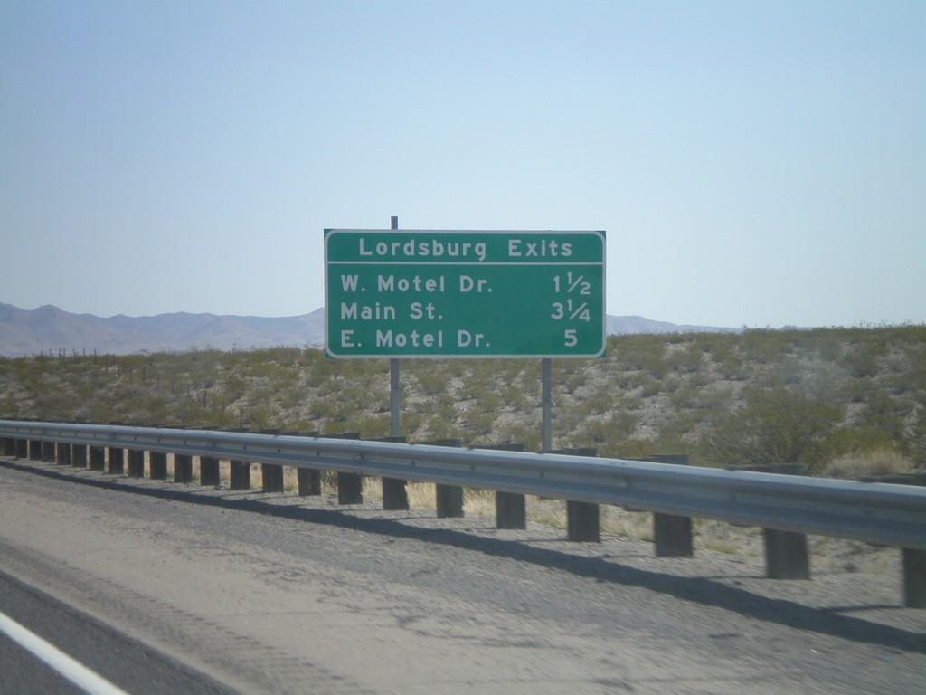
I-10 East - Lordsburg Exits
Lordsburg Exits on I-10 East - W. Motel Drive, Main St., and E. Motel Drive.
Taken 03-21-2010
 Lordsburg
Hidalgo County
New Mexico
United States
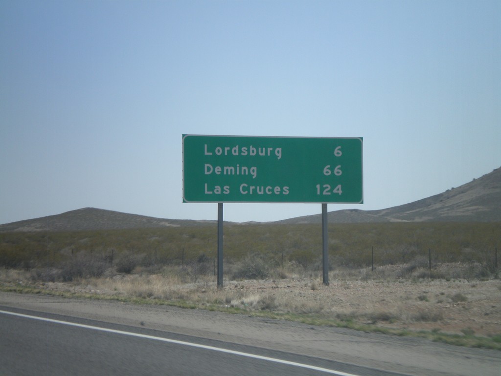
I-10 East - Distance Marker
Distance marker on I-10 east to Lordsburg, Deming, and Las Cruces. The control city in western New Mexico along I-10 is Las Cruces. In Arizona the control city is El Paso.
Taken 03-21-2010
 Lordsburg
Hidalgo County
New Mexico
United States
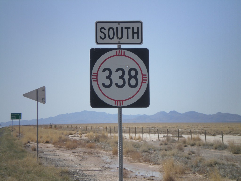
NM-338 South
NM-338 south. In the background there is a distance marker to Cotton City, Animas, and Playas.
Taken 03-21-2010
 Animas
Hidalgo County
New Mexico
United States