Signs Tagged With Distance Marker
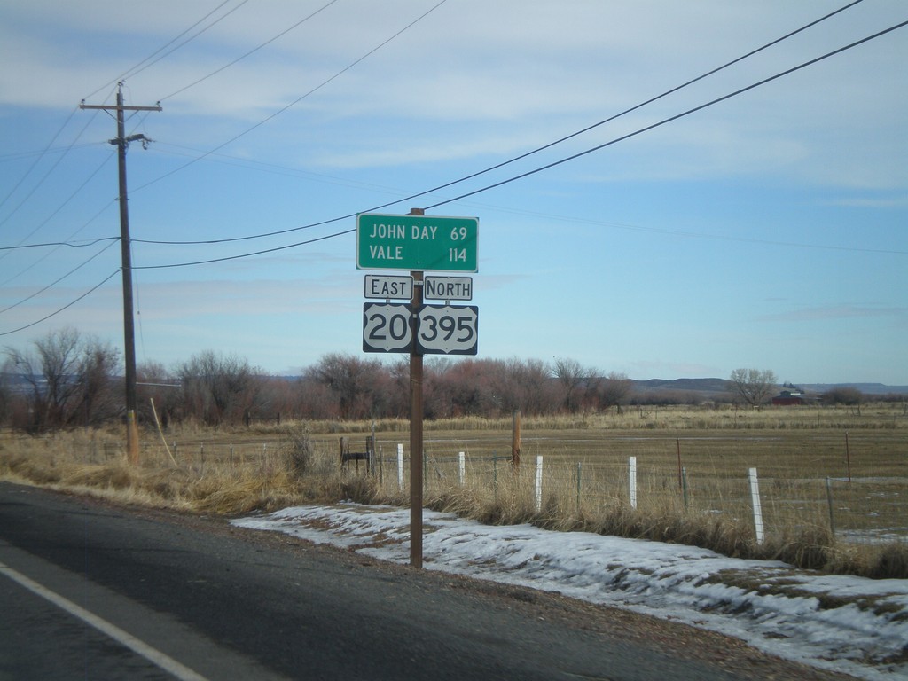
US-20 East/US-395 North - Distance Marker
Distance marker on US-20 East/US-395 north to John Day and Vale.
Taken 01-18-2010

 Burns
Harney County
Oregon
United States
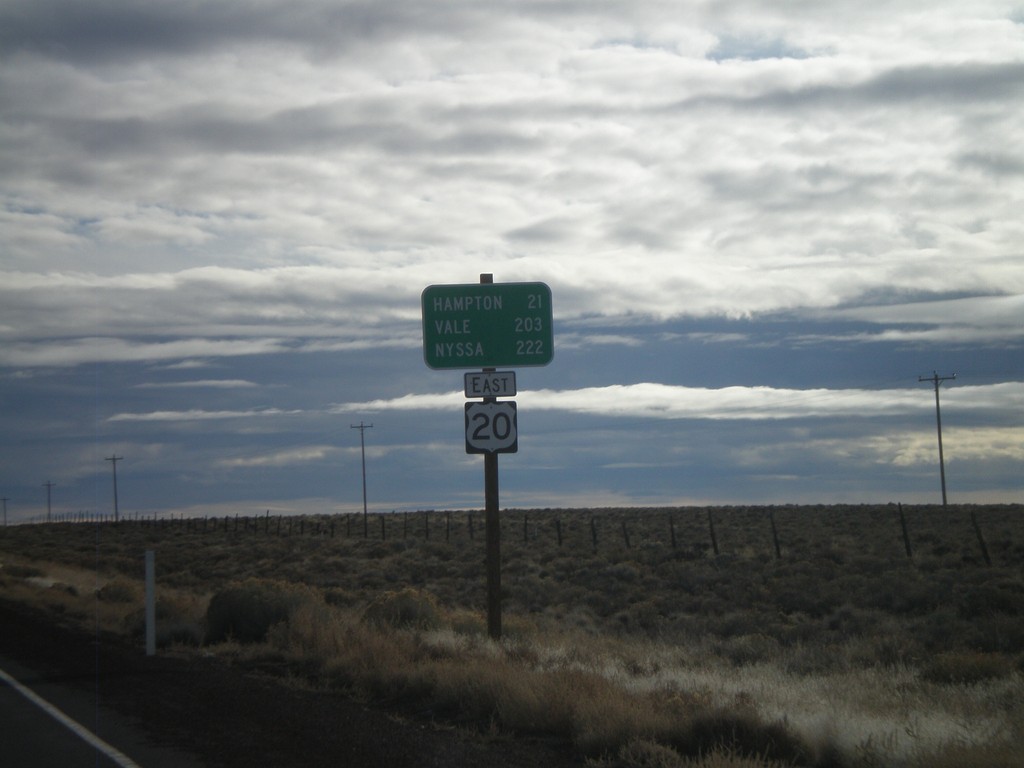
US-20 East - Brothers
Distance marker on US-20 east outside of Brothers. Distance to Hampton, Vale, and Nyssa.
Taken 01-18-2010
 Brothers
Deschutes County
Oregon
United States
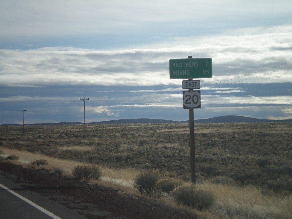
US-20 East - Distance Marker
Distance marker on US-20 east to Brothers and Burns.
Taken 01-18-2010
 Brothers
Deschutes County
Oregon
United States
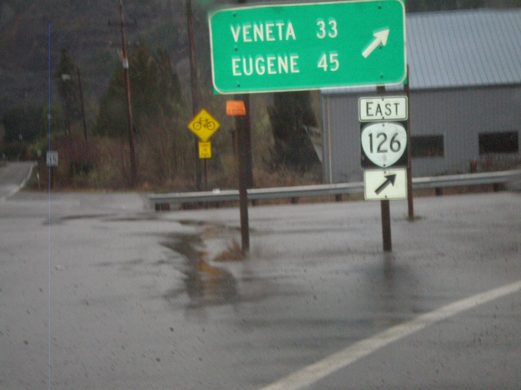
OR-126 East At OR-36
OR-126 east at OR-36 in Mapleton. Continue east on OR-126 for Veneta and Eugene.
Taken 01-17-2010

 Mapleton
Lane County
Oregon
United States
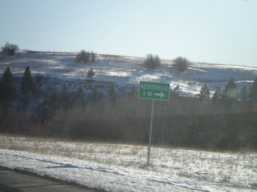
US-95 South At Cottonwood South Entrance
US-95 South at Business US-95 at the southern entrance to Cottonwood. Turn here for access to Keuterville.
Taken 12-27-2009

 Cottonwood
Idaho County
Idaho
United States
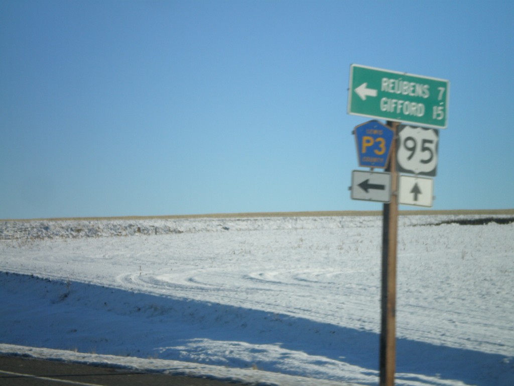
US-95 South at Lewis County Road P3
US-95 south at Lewis County Road P3 north to Reubens and Gifford.
Taken 12-27-2009

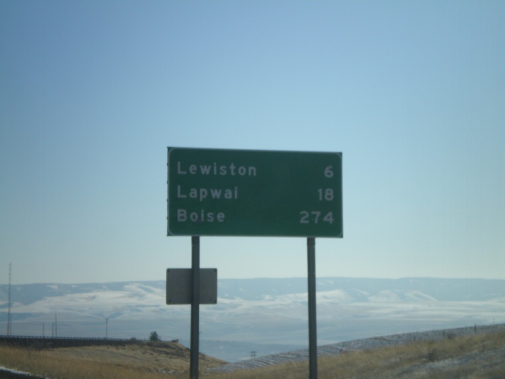
US-95 South - Distance Marker
Distance marker on US-95 south at the top of Lewiston Hill. Distance to Lewiston, Lapwai, and Boise.
Taken 12-27-2009
 Genesee
Nez Perce County
Idaho
United States
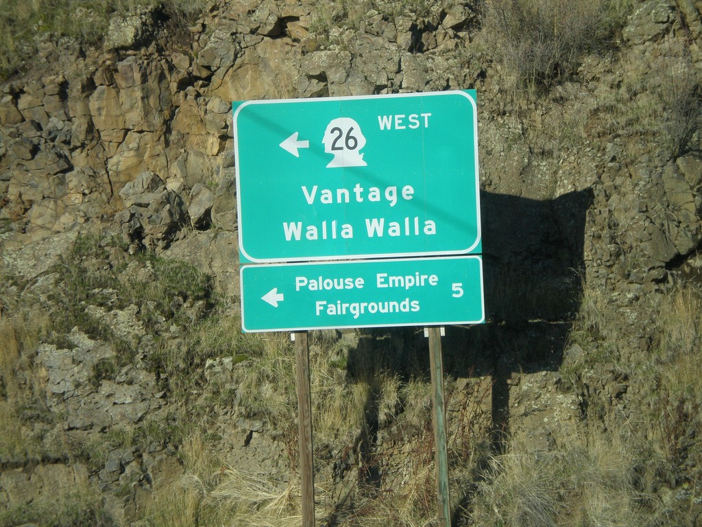
US-195 North at WA-26 West
US-195 north at WA-26 west to Vantage and Walla Walla. WA-26 is the main highway across central Washington from the Palouse region to Seattle. Use WA-26 west for the Palouse Empire Fairgrounds.
Taken 12-26-2009

 Colfax
Whitman County
Washington
United States
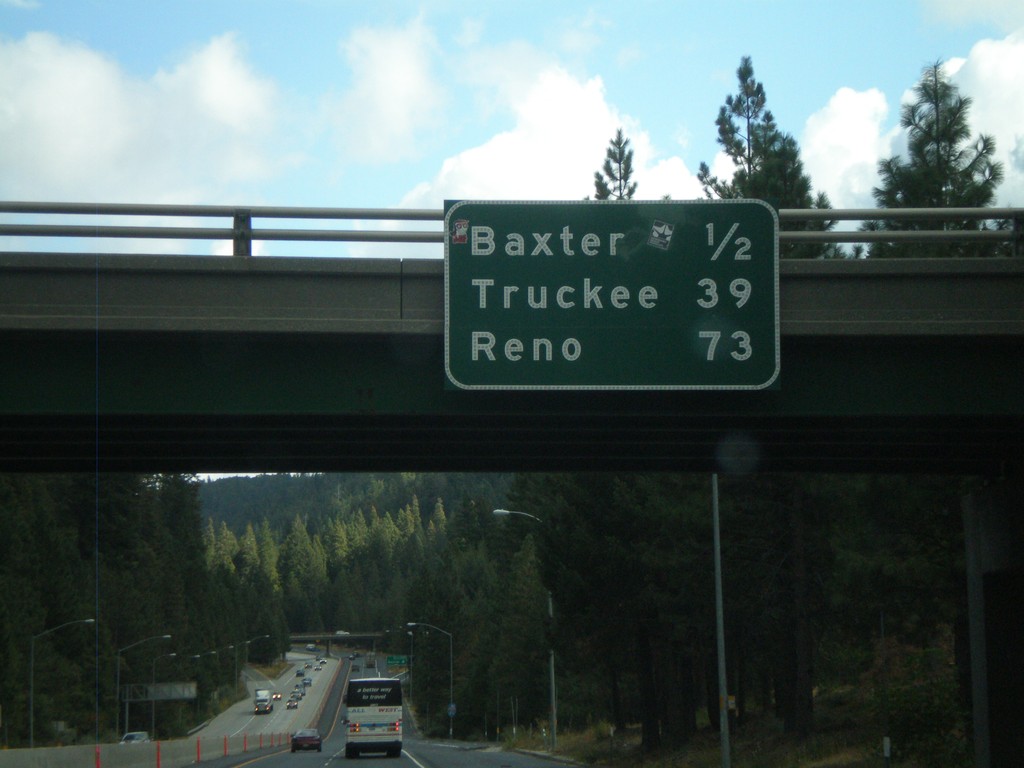
I-80 East - Distance Marker
Distance marker on I-80 east at the Crystal Springs (Exit 148A) interchange. Distance to Baxter, Truckee, and Reno.
Taken 10-04-2009
 Alta
Placer County
California
United States
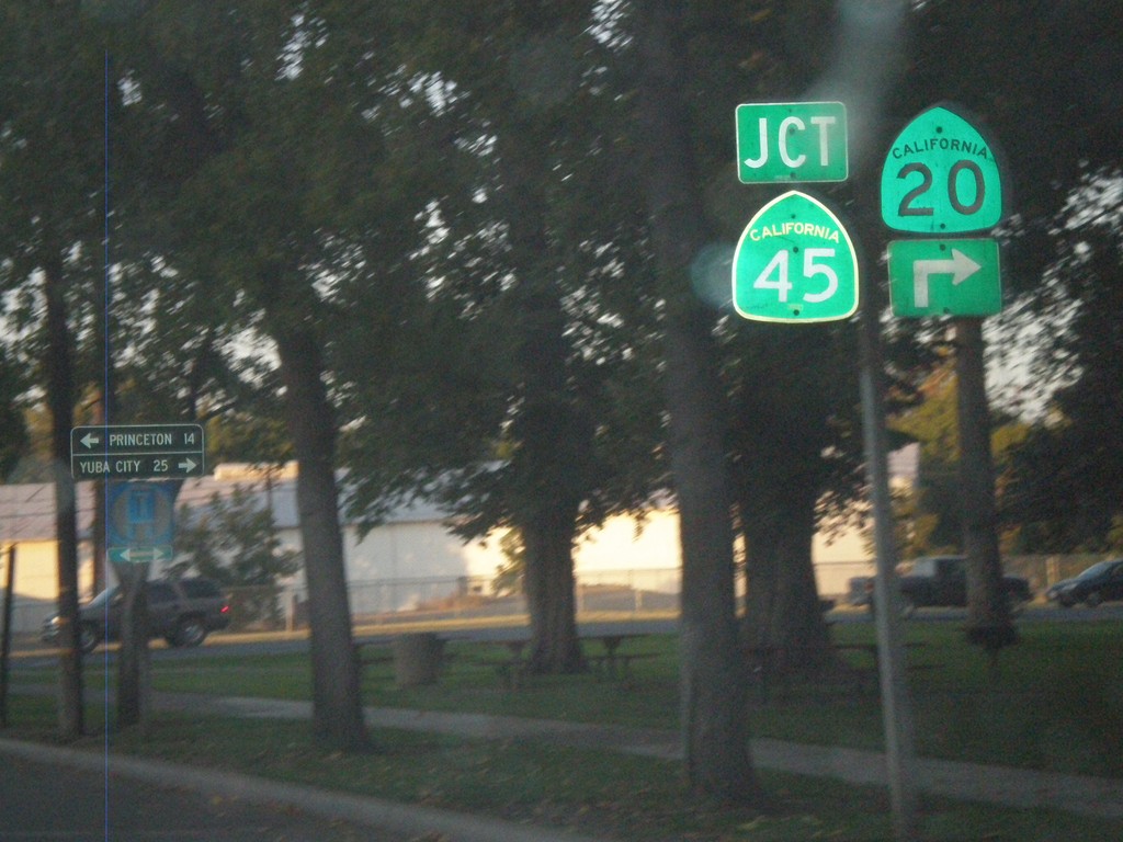
CA-20 East at CA-45
CA-20 east at CA-45 in Colusa. CA-45 south joins CA-20 through Colusa. Use CA-45 north for Princeton. Use CA-20/CA-45 south for Yuba City.
Taken 09-25-2009

 Colusa
 County
California
United States
Colusa
Colusa County
California
United States