Signs Tagged With Distance Marker
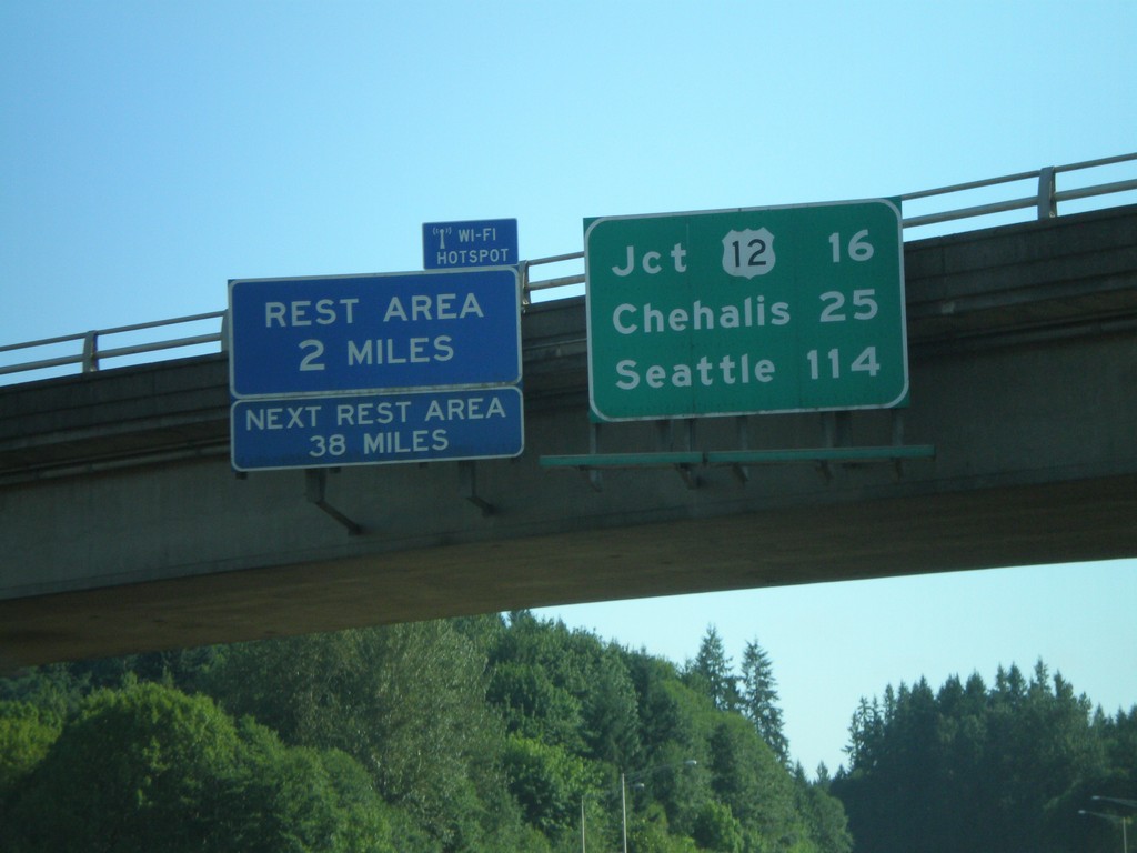
I-5 North - Distance Overhead
I-5 overhead with distance marker to US-12, Chehalis, and Seattle. Rest Area with Wi-Fi access in 2 miles.
Taken 07-24-2008
 Castle Rock
Cowlitz County
Washington
United States
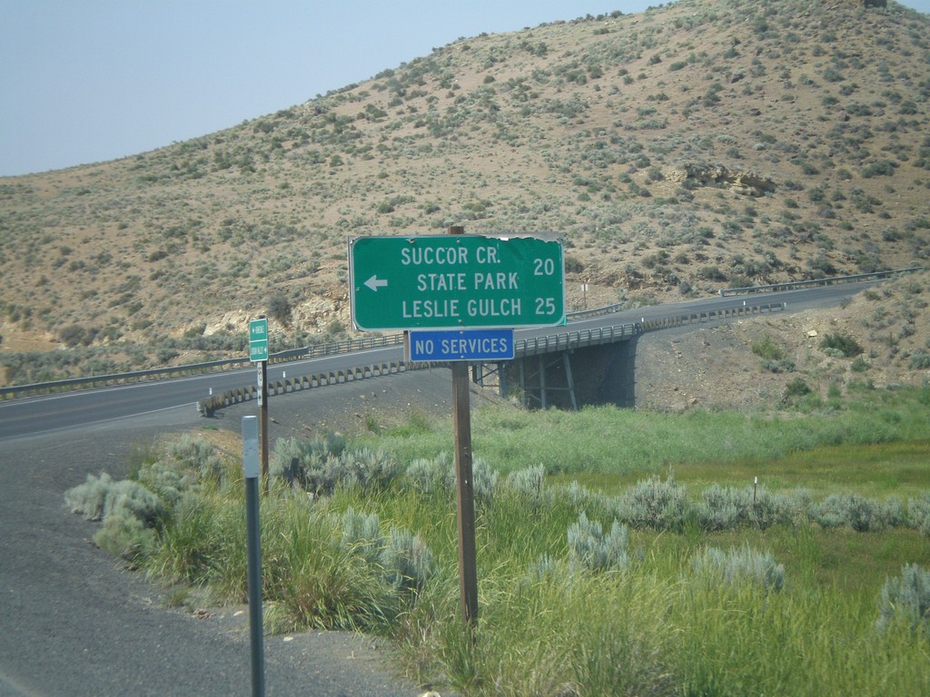
US-95 North at Succor Creek
US-95 north at turnoff to Succor Creek State Park and Leslie Gulch.
Taken 07-07-2008
 Sheaville
Malheur County
Oregon
United States
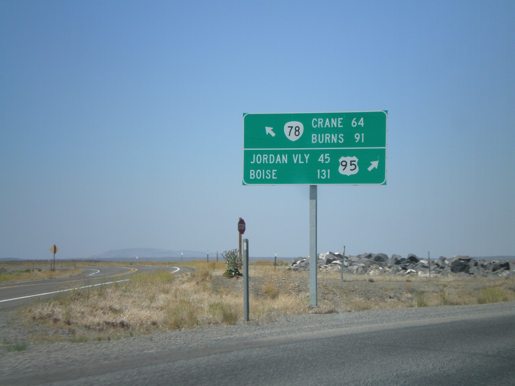
US-95 North at OR-78 West
US-95 north at OR-78 west. Merge left for OR-78 to Burns and Crane. Merge right for US-95 to Jordan Valley and Boise.
Taken 07-07-2008

 Jordan Valley
Malheur County
Oregon
United States
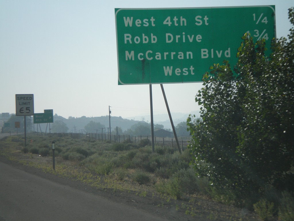
I-80 East - Reno Exits
Exits on I-80 east near Reno.
Taken 07-07-2008
 Reno
Washoe County
Nevada
United States
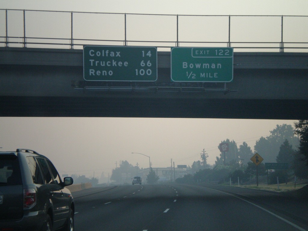
I-80 East Exit 122
I-80 east approaching Exit 122 - Bowman. Overhead distance marker to Colfax, Truckee, and Reno.
Taken 07-07-2008
 Auburn
Placer County
California
United States
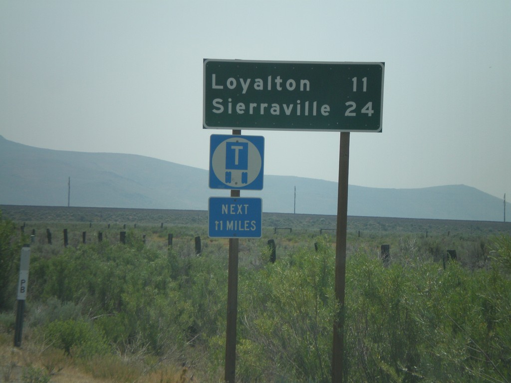
CA-49 South - Distance Marker
First distance marker on CA-49 south to Loyalton and Sierraville.
Taken 07-03-2008
 Chilcoot-Vinton
Plumas County
California
United States
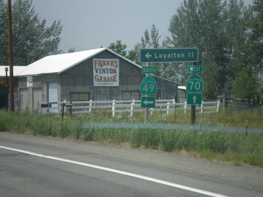
CA-70 West at CA-49 South
CA-70 west at CA-49 south to Loyalton. This is the northern beginning of CA-49 which goes through the California Gold Country.
Taken 07-03-2008

 Chilcoot-Vinton
Plumas County
California
United States
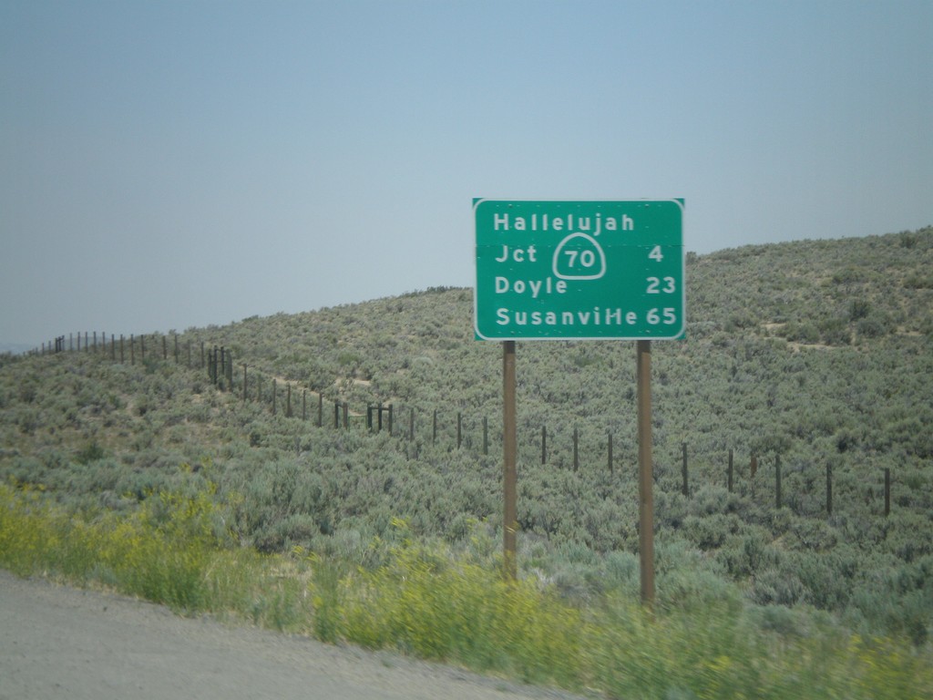
US-395 North - Distance Marker
Distance marker on US-395 north to CA-70 Jct (Hallelujah Junction), Doyle, and Susanville. This is the first distance marker on US-395 inside of California.
Taken 07-03-2008
 Chilcoot-Vinton
Plumas County
California
United States
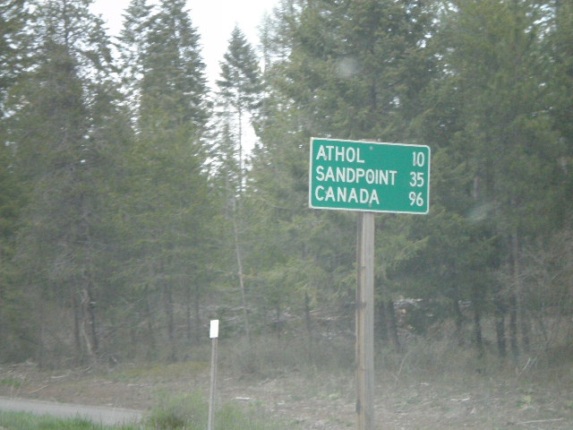
US-95 North - Distance Marker
Distance marker on US-95 north to Athol, Sandpoint, and Canada.
Taken 05-06-2008
 Garwood
Kootenai County
Idaho
United States
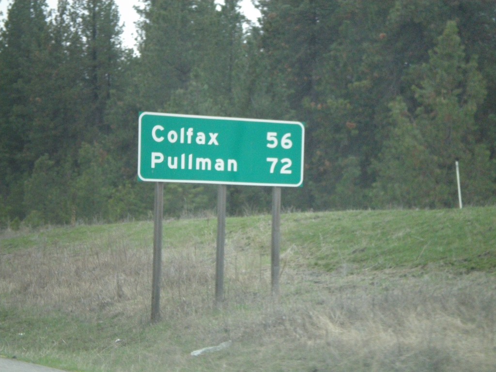
US-195 South - Distance Marker
Begin of US-195 south at I-90. First distance marker on US-195 to Colfax and Pullman.
Taken 04-14-2008
 Spokane
 County
Washington
United States
Spokane
Spokane County
Washington
United States