Signs Tagged With Distance Marker
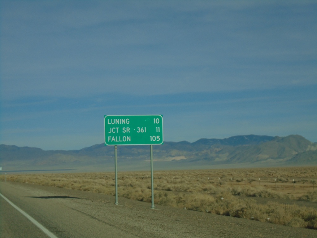
US-95 North - Distance Marker
Distance marker on US-95 north. Distance to Luning, Jct. SR-361, and Fallon.
Taken 01-15-2022
 Mina
Mineral County
Nevada
United States
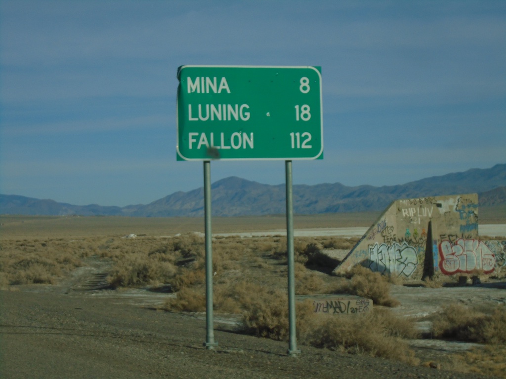
US-95 North - Distance Marker
Distance marker on US-95 north. Distance to Mina, Luning, and Fallon.
Taken 01-15-2022
 Mina
Mineral County
Nevada
United States
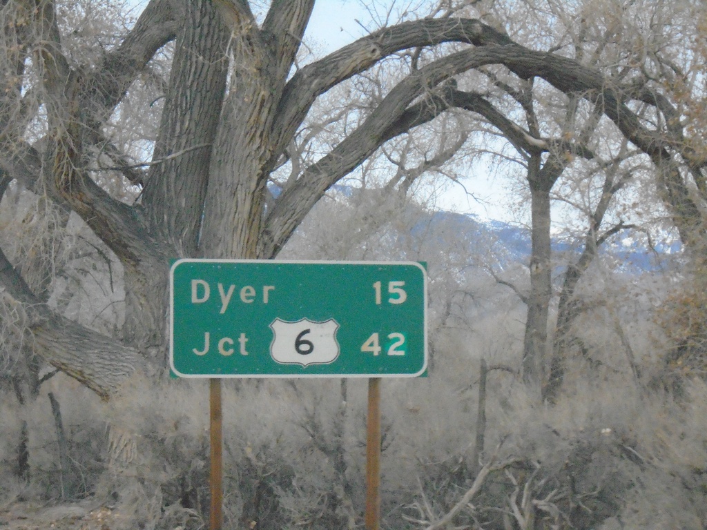
CA-266 North - Distance Marker
Distance marker on CA-266 north. Distance to Dyer (Nevada) and US-6 junction.
Taken 01-15-2022

 Dyer
Mono County
California
United States
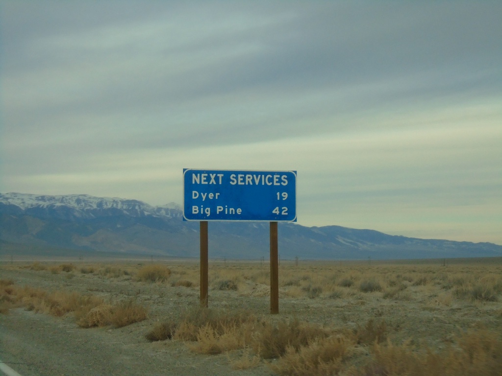
CA-266 North - Next Services
Distance to next services on CA-266 north. Dyer (Nevada) - 19 Miles. Big Pine (via CA-168) - 42 Miles.
Taken 01-15-2022
 Dyer
Mono County
California
United States
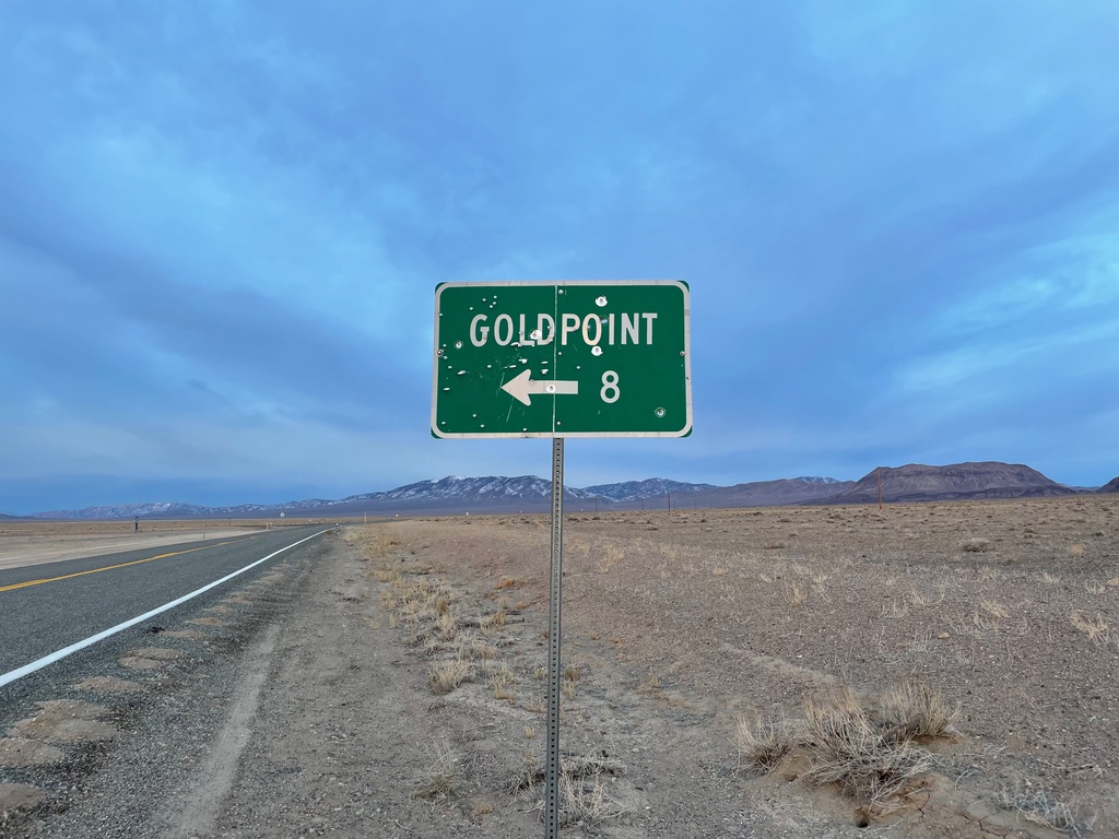
NV-266 West at NV-774
NV-266 West at NV-774 south to Goldpoint
Taken 01-15-2022

 Goldfield
Esmeralda County
Nevada
United States
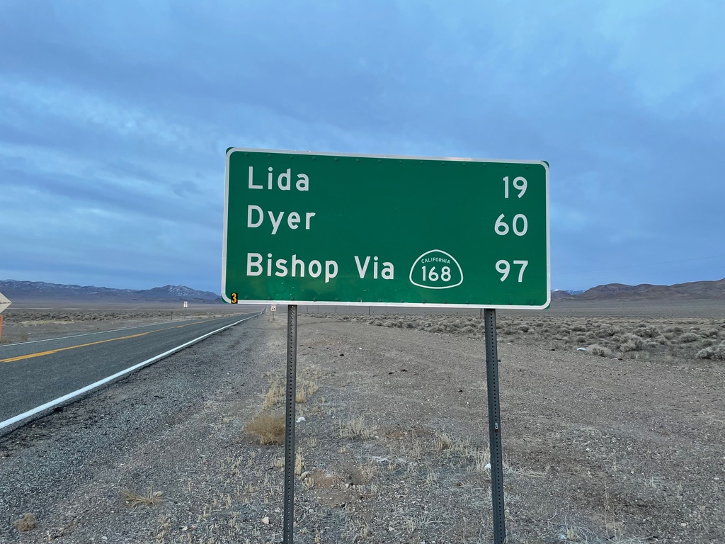
NV-266 West - Distance Marker
Distance marker on NV-266 west. Distance to Lida, Dyer, and Bishop (CA) via CA-168.
Taken 01-15-2022
 Goldfield
Esmeralda County
Nevada
United States
NV-305 South - Distance Marker
Distance marker on NV-305 south. Distance to Jct. US-50 and Austin.
Taken 01-14-2022
 Battle Mountain
Lander County
Nevada
United States
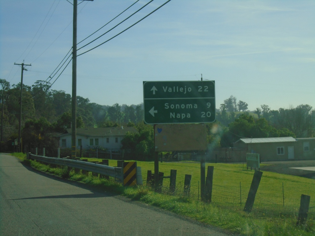
CA-116 East - Lakeview Highway at Stage Gulch Road
CA-116 East - Lakeview Highway at Stage Gulch Road. Turn left on Stage Gulch Road to continue east on CA-116 to Napa and Sonoma. Continue south on Lakeview Highway for Vallejo (via CA-37).
Taken 11-25-2021
 Petaluma
Sonoma County
California
United States
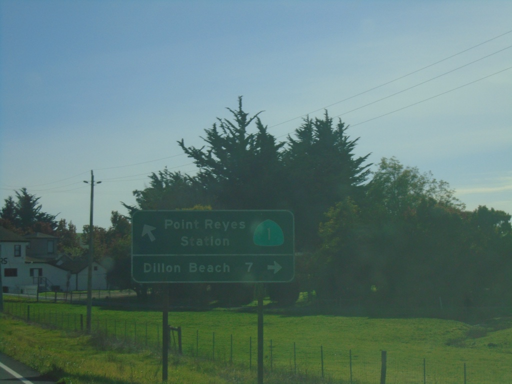
CA-1 South at Valley Ford - Estero Road
CA-1 South at Valley Ford - Estero Road to Dillon Beach. Continue south on CA-1 for Point Reyes Station.
Taken 11-23-2021
 Valley Ford
Sonoma County
California
United States
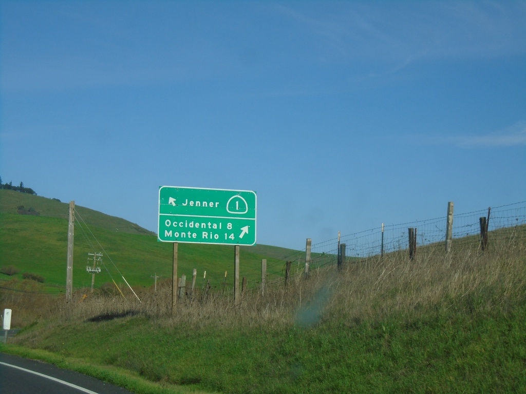
CA-1 North at Freestone-Valley Ford Road
CA-1 North at Freestone-Valley Ford Road. Turn right for Occidental and Monte Rio. Continue on CA-1 for Jenner.
Taken 11-23-2021
 Valley Ford
Sonoma County
California
United States
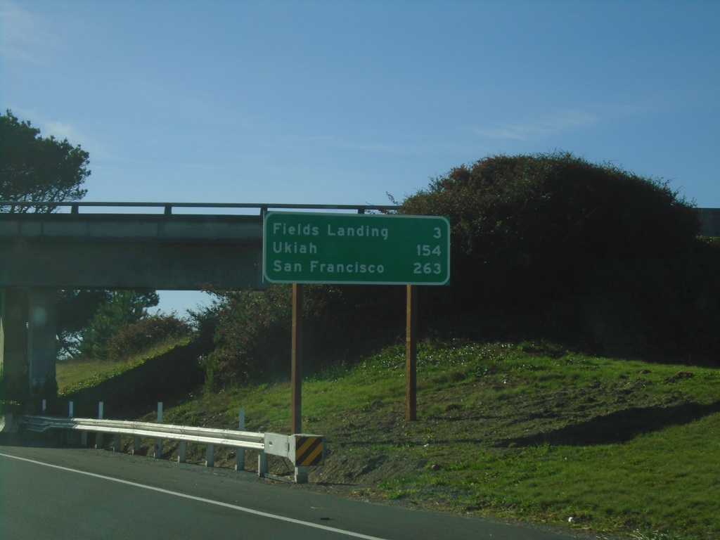
US-101 South - Distance Marker
Distance marker on US-101 south. Distance to Fields Landing, Ukiah, and San Francisco.
Taken 11-21-2021
 Humboldt Hill
Humboldt County
California
United States
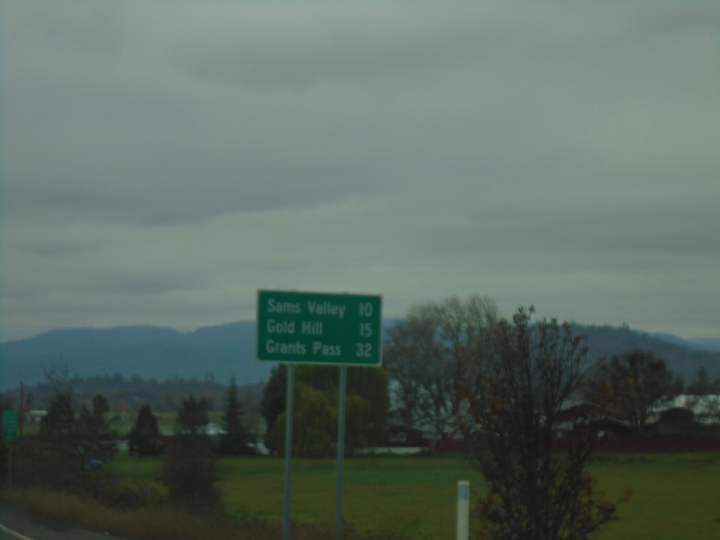
OR-234 West - Distance Marker
Distance marker on OR-234 west. Distance to Sams Valley, Gold Hill, and Grants Pass (via I-5 North).
Taken 11-20-2021
 Eagle Point
Jackson County
Oregon
United States
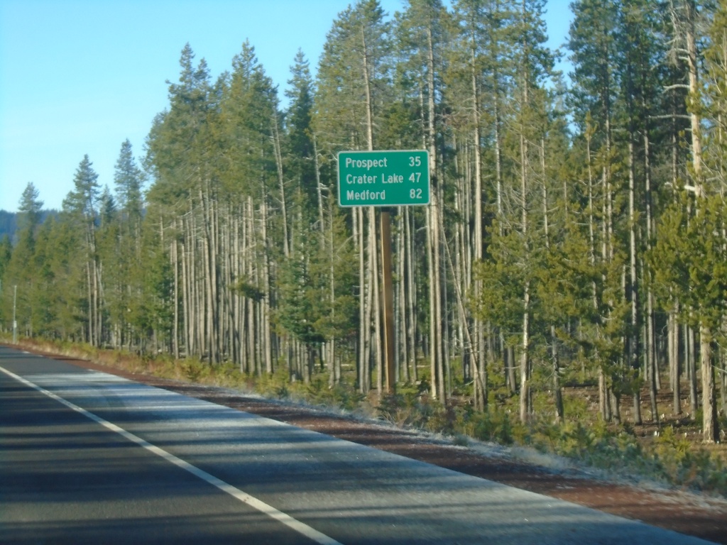
OR-230 West - Distance Marker
Distance marker on OR-230 west. Distance to Prospect, Crater Lake (via OR-62 North) and Medford (via OR-62 South).
Taken 11-20-2021
 Diamond Lake
Douglas County
Oregon
United States
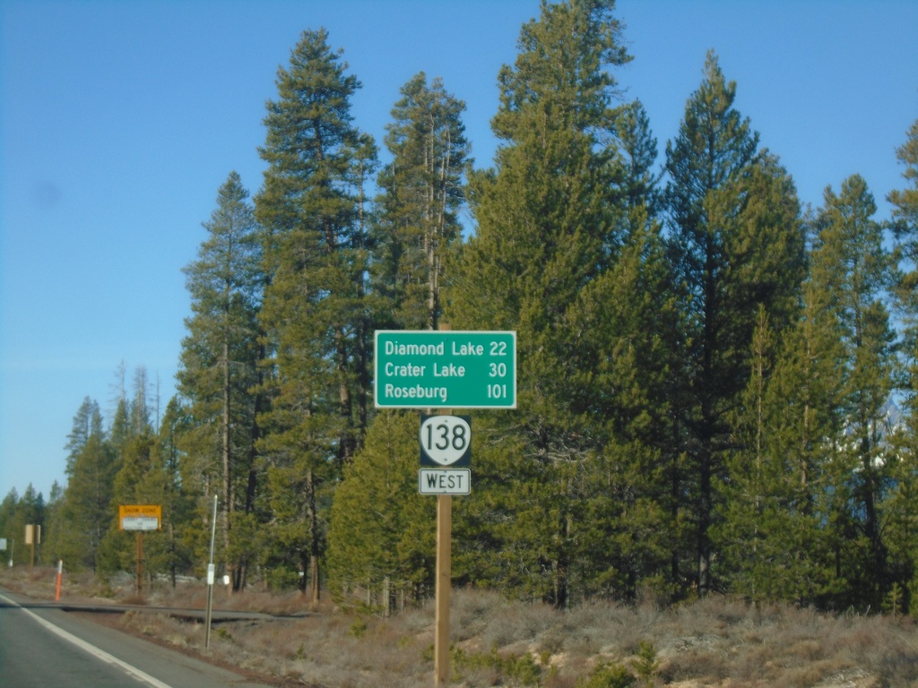
Distance Marker on OR-138 West
Distance marker on OR-138 west to Diamond Lake, Crater Lake, and Roseburg. Taken just west of Diamond Lake Junction.
Taken 11-20-2021
 Chemult
Klamath County
Oregon
United States
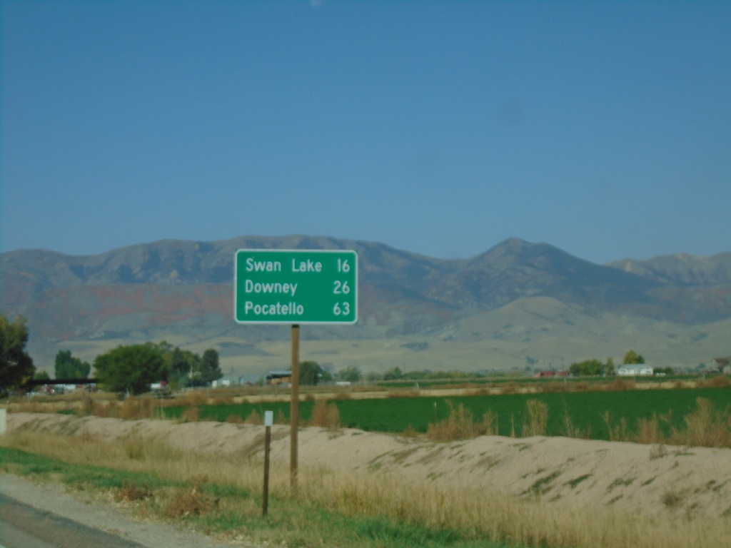
US-91 North - Distance Marker
Distance marker on US-91 north. Distance to Swan Lake, Downey, and Pocatello.
Taken 09-25-2021
 Preston
Franklin County
Idaho
United States
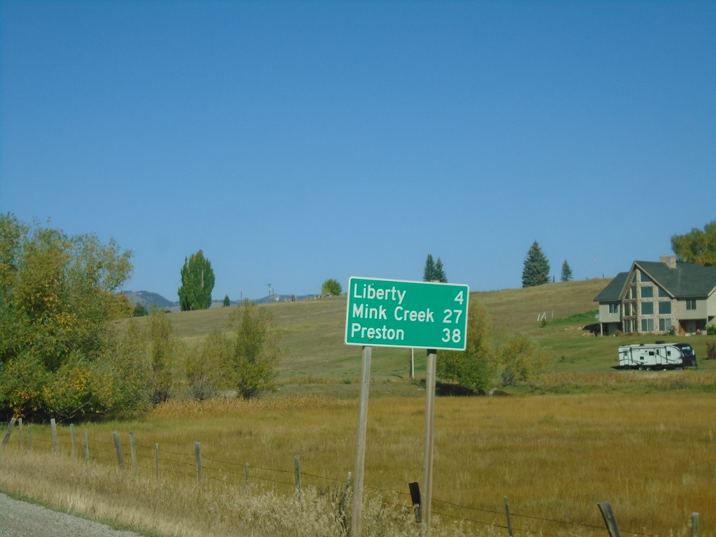
ID-36 West - Distance Marker
Distance marker on ID-36 west. Distance to Liberty, Mink Creek, and Preston.
Taken 09-25-2021
 Ovid
Bear Lake County
Idaho
United States
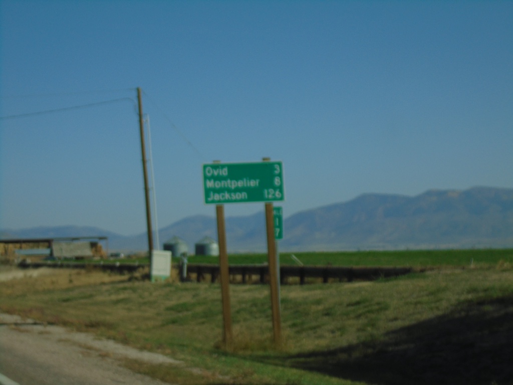
US-89 North - Distance Marker
Distance marker on US-89 north. Distance to Ovid, Montpelier, and Jackson (Wyoming).
Taken 09-25-2021
 Paris
Bear Lake County
Idaho
United States
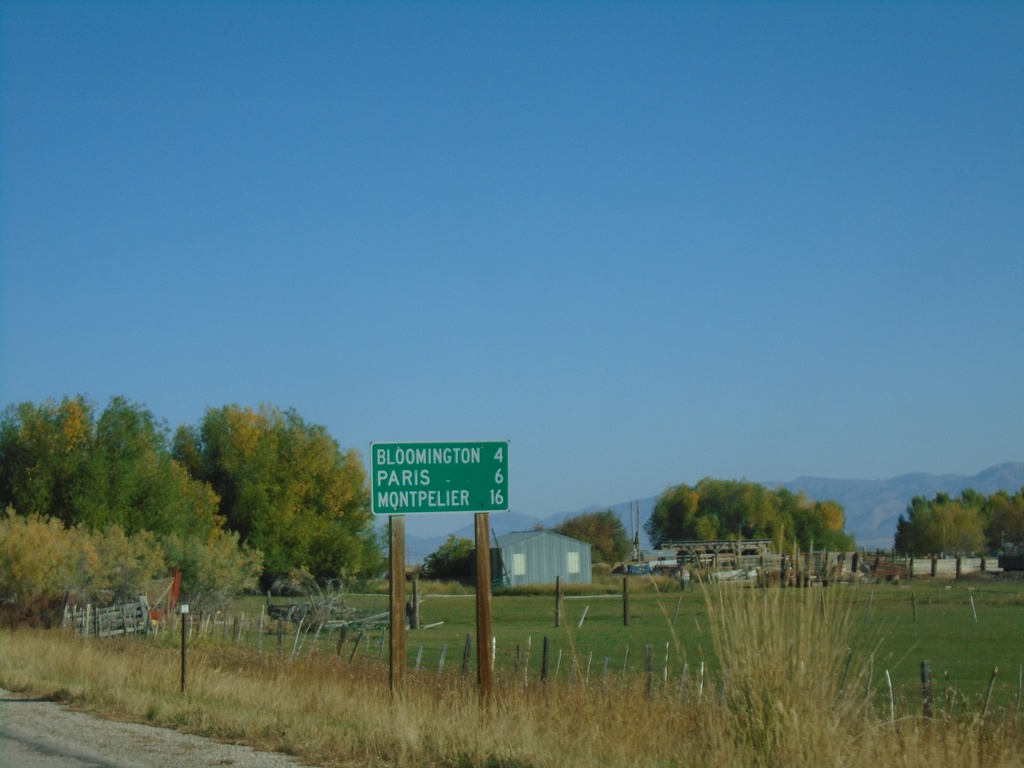
US-89 North - Distance Marker
Distance marker US-89 North. Distance to Bloomington, Paris, and Montpelier.
Taken 09-25-2021
 Saint Charles
Bear Lake County
Idaho
United States
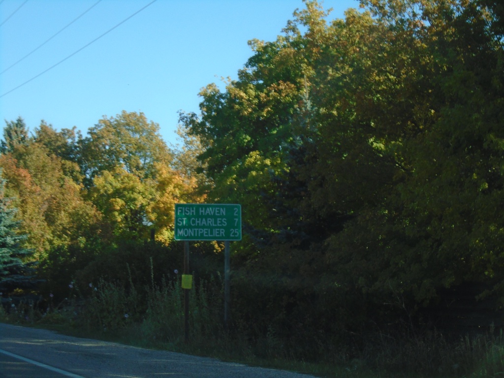
US-89 North - Distance Marker
Distance marker on US-89 north. Distance to Fish Haven, St. Charles, and Montpelier.
Taken 09-25-2021
 Fish Haven
Bear Lake County
Idaho
United States
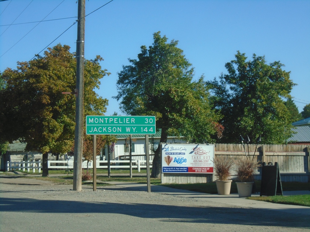
US-89 North - Distance Marker
Distance marker on US-89 North. Distance to Montpelier (Idaho) and Jackson, WY. This is the last distance marker northbound on US-89 in Utah.
Taken 09-25-2021
 Garden City
Rich County
Utah
United States
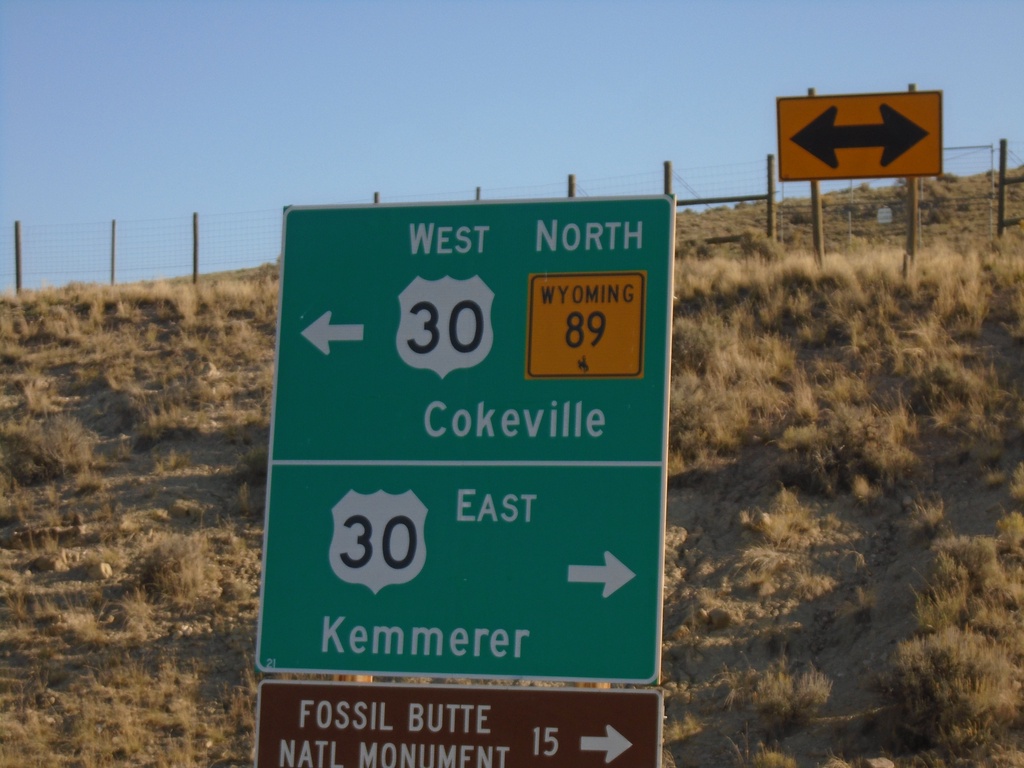
WY-89 North at US-30
WY-89 north at US-30. Use US-30 east for Kemmerer and Fossil Butte National Monument. Use US-30 West/WY-89 North for Cokeville. WY-89 North joins US-30 West to Border Junction.
Taken 09-25-2021

 Kemmerer
Lincoln County
Wyoming
United States
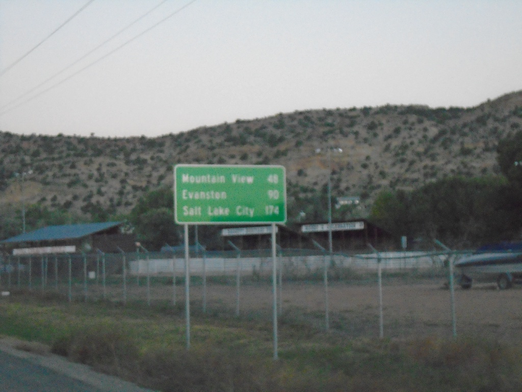
UT-43 West - Distance Marker
Distance marker on UT-43 west. Distance to Mountain View (WY), Evanston (WY), and Salt Lake City. Access to Salt Lake City via UT-43 west involves cutting through the southwest corner of Wyoming.
Taken 09-25-2021
 Manila
Daggett County
Utah
United States
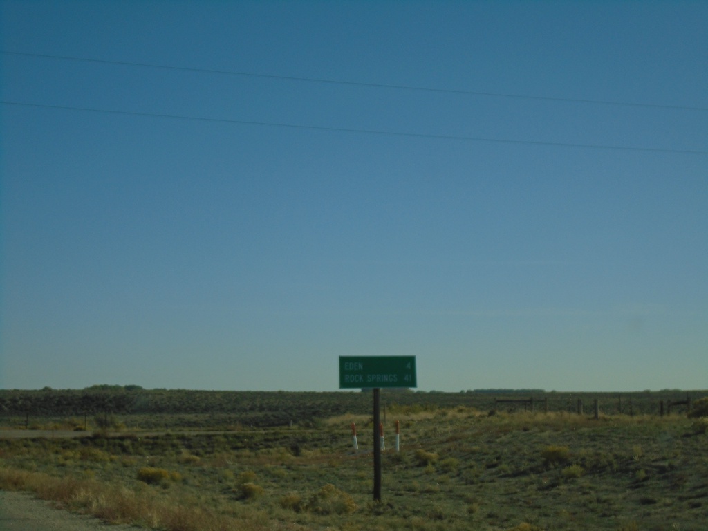
US-191 South - Distance Marker
Distance marker on US-191 south. Distance to Eden and Rock Springs.
Taken 09-24-2021
 Eden
Sweetwater County
Wyoming
United States
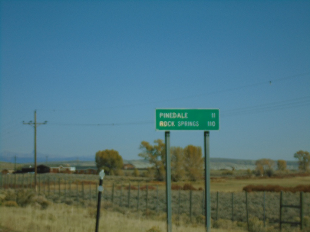
US-191 South - Distance Marker
Distance marker on US-191 south. Distance to Pinedale and Rock Springs.
Taken 09-24-2021
 Pinedale
Sublette County
Wyoming
United States
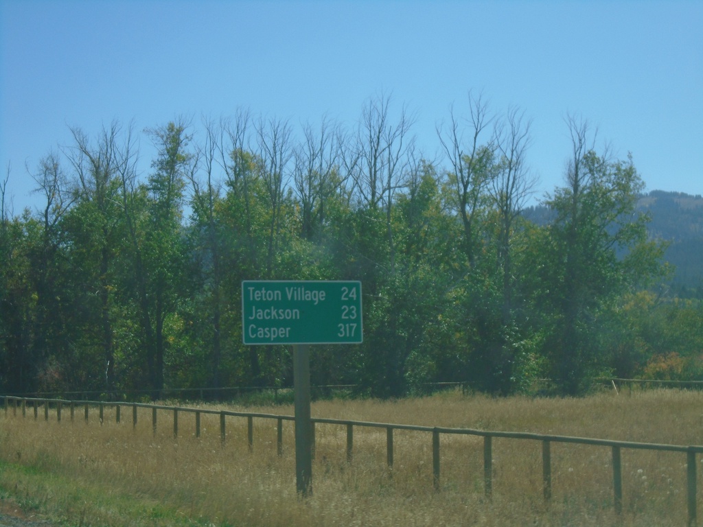
ID-33 East - Distance Marker
Last distance marker on ID-33 east in Idaho. Distance to Teton Village, Jackson, and Casper. All destinations are in Wyoming.
Taken 09-24-2021
 Victor
Teton County
Idaho
United States