Signs Tagged With Distance Marker
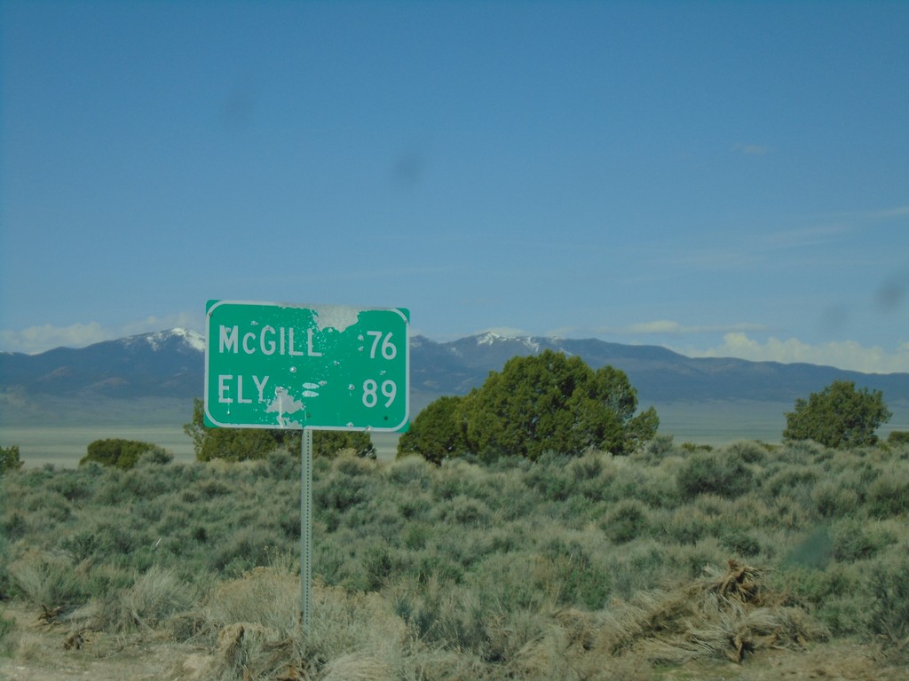
Alt. US-93 South - Distance Marker
Distance marker on Alt. US-93 South. Distance to McGill and Ely.
Taken 04-26-2019
 Elko County
Nevada
United States
Elko County
Nevada
United States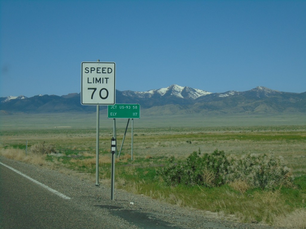
US-93 Alt South - Speed Limit 70 MPH
Speed limit 70 MPH on Alt. US-93 South leaving West Wendover. Distance marker to Jct. US-93 and Ely.
Taken 04-26-2019
West Wendover
Elko County
Nevada
United States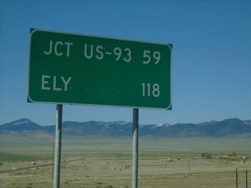
US-93 Alt. South - Distance Marker
Distance marker on US-93 Alt. South. Distance to Jct. US-93 and Ely.
Taken 04-26-2019
 West Wendover
Elko County
Nevada
United States
West Wendover
Elko County
Nevada
United States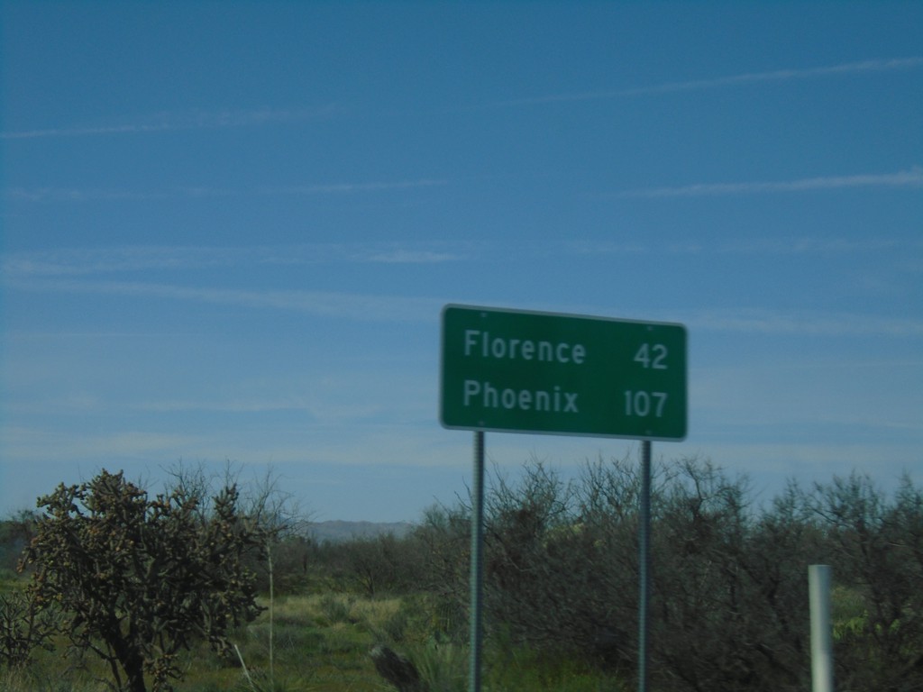
AZ-79 North - Distance Marker
Distance marker on AZ-79 North. Distance to Florence and Phoenix.
Taken 03-24-2019
 Oracle
Pinal County
Arizona
United States
Oracle
Pinal County
Arizona
United States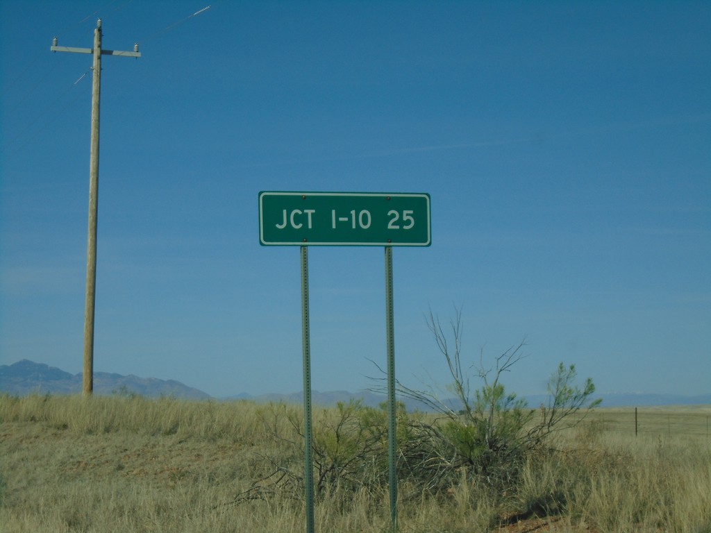
AZ-83 North - Distance Marker
Distance marker on AZ-83 north. Distance to I-10.
Taken 03-23-2019

 Sonoita
Santa Cruz County
Arizona
United States
Sonoita
Santa Cruz County
Arizona
United States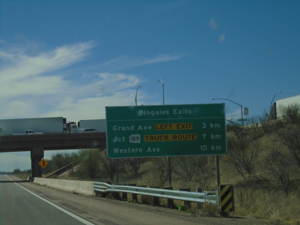
I-19 South - Nogales Exits
Nogales Exits on I-19 south. Distance to Grand Ave., AZ-189, and Western Ave.
Taken 03-23-2019

 Nogales
Santa Cruz County
Arizona
United States
Nogales
Santa Cruz County
Arizona
United States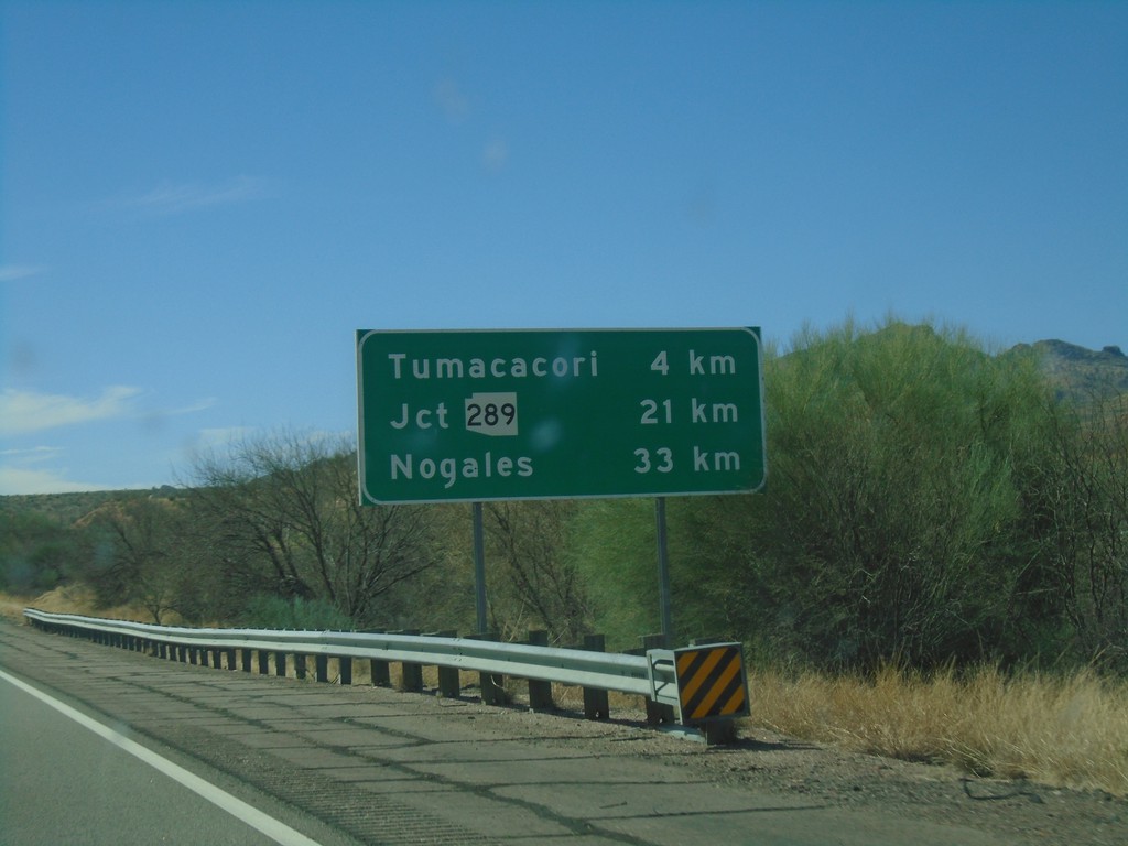
I-19 South - Distance Marker
Distance marker on I-19 south. Distance to Tumacacori, Jct. AZ-289, and Nogales.
Taken 03-23-2019
 Tubac
Santa Cruz County
Arizona
United States
Tubac
Santa Cruz County
Arizona
United States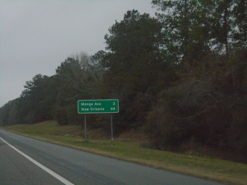
I-10 West - Distance Marker
Distance marker on I-10 west. Distance to Menge Ave. and New Orleans (LA).
Taken 12-27-2018
Long Beach
Harrison County
Mississippi
United States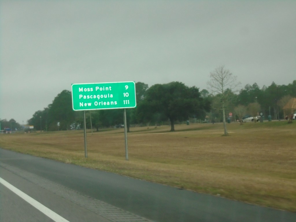
I-10 West - Distance Marker
First distance marker in Mississippi on I-10 westbound. Distance to Moss Point, Pascagoula, and New Orleans (LA).
Taken 12-27-2018
Moss Point
Jackson County
Mississippi
United States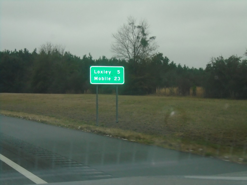
I-10 West - Distance Marker
Distance marker on I-10 west. Distance to Loxley and Mobile.
Taken 12-27-2018
Loxley
Baldwin County
Alabama
United States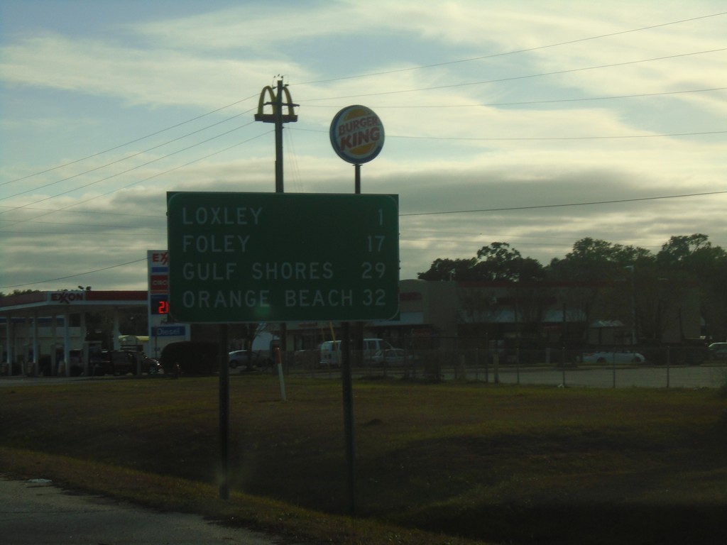
AL-59 South - Distance Marker
Distance marker on AL-59 south. Distance to Loxley, Foley, Gulf Shores, and Orange Beach.
Taken 12-23-2018
 Loxley
Baldwin County
Alabama
United States
Loxley
Baldwin County
Alabama
United States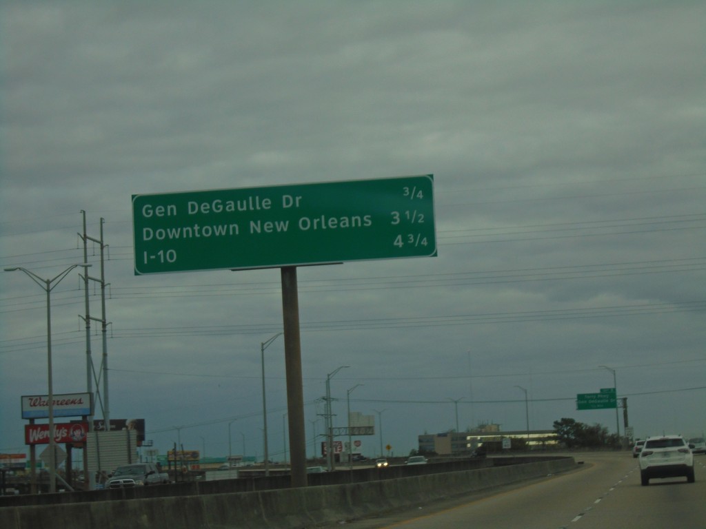
Bus. US-90 East - Distance Marker
Distance marker on Bus. US-90 East. Distance to Gen. DeGaulle Drive, Downtown New Orleans, and I-10.
Taken 12-23-2018
 Gretna
Jefferson Parish
Louisiana
United States
Gretna
Jefferson Parish
Louisiana
United States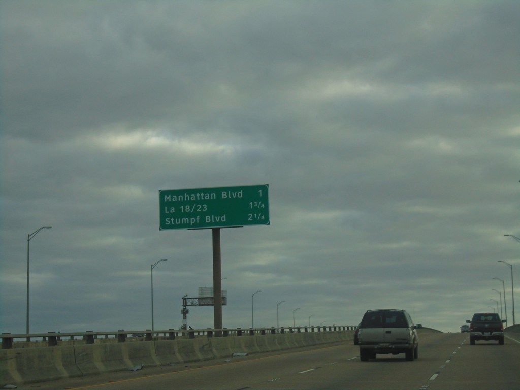
Bus. US-90 East - Next 3 Exits
Next 3 Exits on Bus. US-90 East. Manhattan Blvd./LA-18 and LA-23/Stumpf Blvd.
Taken 12-23-2018
Harvey
Jefferson Parish
Louisiana
United States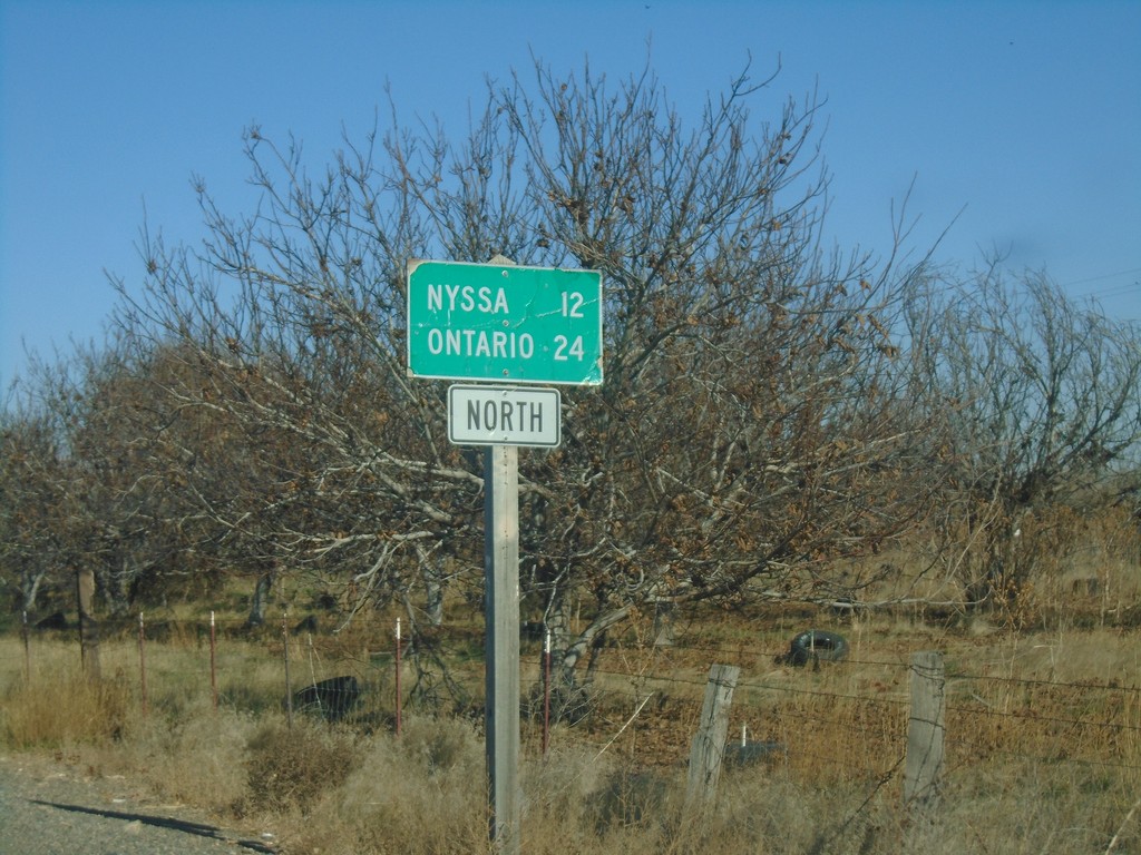
OR-201 North - Distance Marker
Distance marker on OR-201 north. Distance to Nyssa and Ontario.
Taken 11-10-2018
 Adrian
Malheur County
Oregon
United States
Adrian
Malheur County
Oregon
United States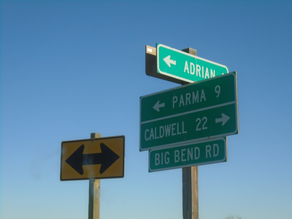
OR-452 East at OR-454
OR-452 East at OR-454 (Big Bend Road) in Malheur County. Turn right for OR-454 East to Caldwell (Idaho); turn left for OR-452 East to Parma (Idaho). OR-452 and OR-454 are both unsigned for their entire length.
Taken 11-10-2018

 Adrian
Malheur County
Oregon
United States
Adrian
Malheur County
Oregon
United States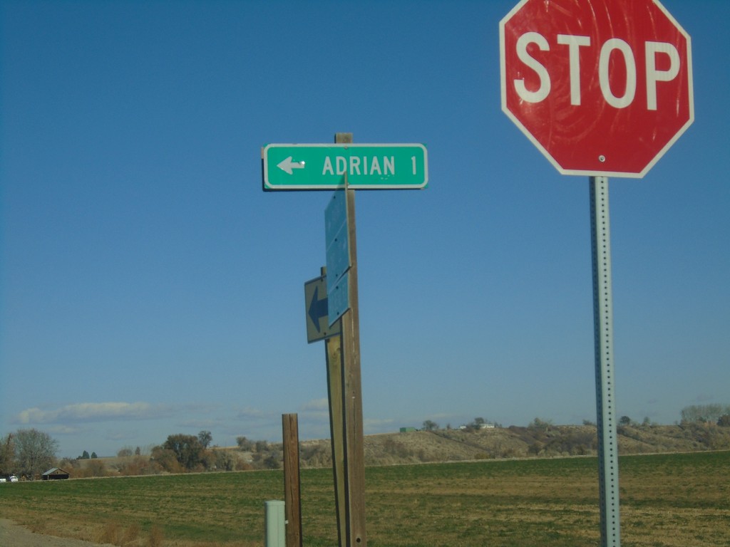
OR-454 North at OR-452
OR-454 North at OR-452 in Malheur County. Use OR-452 West for Adrian.
Taken 11-10-2018
Adrian
Malheur County
Oregon
United States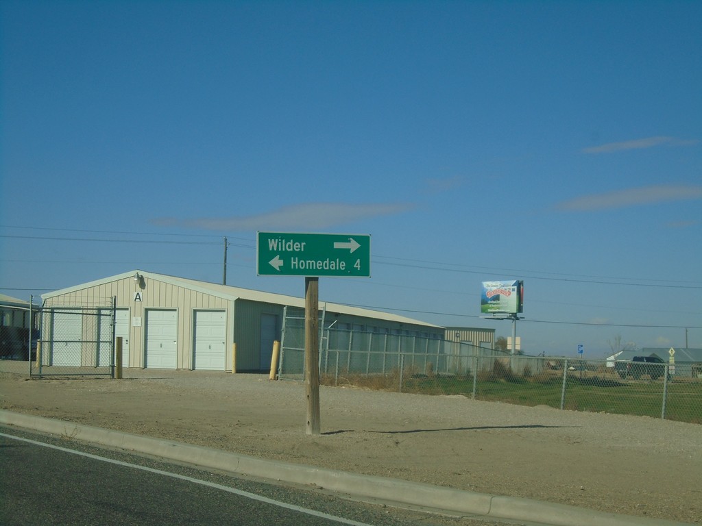
ID-19 West at US-95 - Wilder
ID-19 West at US-95 in Wilder. Turn right on US-95 North to Wilder; left for US-95 South/ID-19 West to Homedale.
Taken 11-10-2018

 Wilder
Canyon County
Idaho
United States
Wilder
Canyon County
Idaho
United States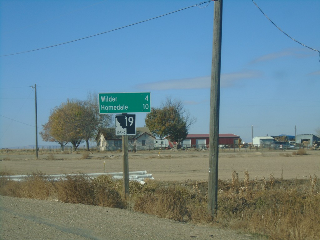
ID-19 West - Distance Marker
Distance marker on ID-19 west. Distance to Wilder and Homedale.
Taken 11-10-2018
Greenleaf
Canyon County
Idaho
United States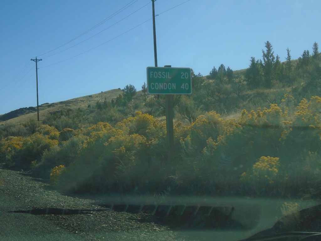
OR-218 East - Distance Marker
Distance marker on OR-218 east. Distance to Fossil and Condon.
Taken 10-14-2018
 Fossil
Wheeler County
Oregon
United States
Fossil
Wheeler County
Oregon
United States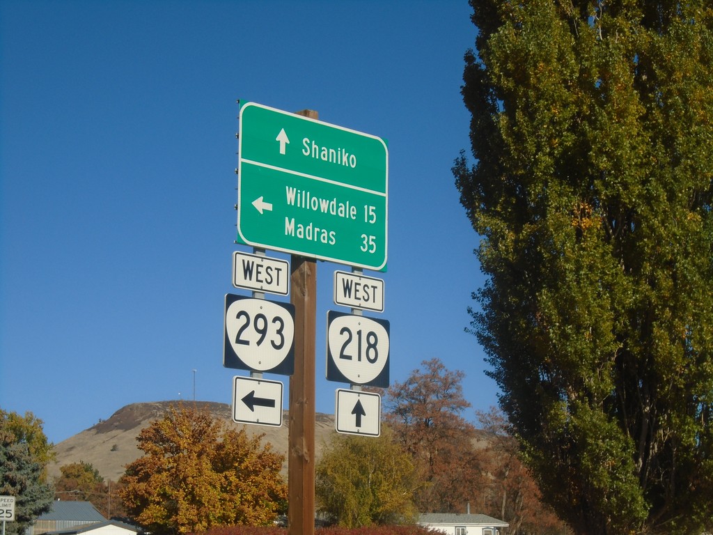
OR-218 West at OR-293 West - Antelope
OR-218 West at OR-293 West in Antelope. Turn left for OR-293 West to Willowdale and Madras; continue straight on OR-218 for Shaniko.
Taken 10-14-2018
 Antelope
Wasco County
Oregon
United States
Antelope
Wasco County
Oregon
United States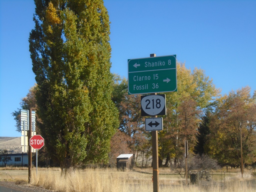
End OR-293 East at OR-218
End OR-293 East at OR-218 in Antelope. Use OR-218 west to Shaniko; OR-218 east to Clarno and Fossil.
Taken 10-14-2018
Antelope
Wasco County
Oregon
United States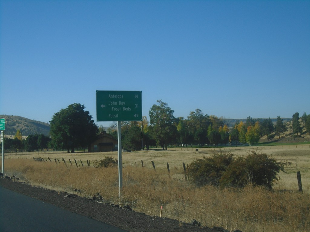
US-97 South at OR-293
US-97 south at OR-293. Use OR-293 east to Antelope, John Day Fossil Beds, and Fossil.
Taken 10-14-2018
 Madras
Jefferson County
Oregon
United States
Madras
Jefferson County
Oregon
United States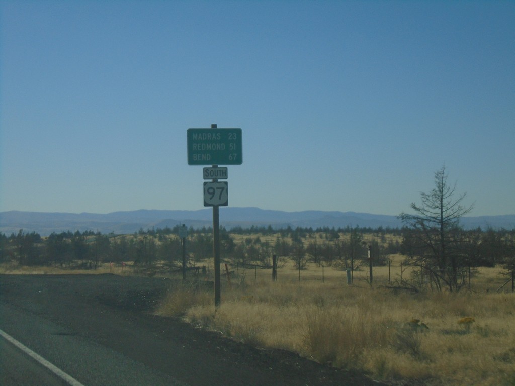
US-97 South - Distance Marker
Distance marker on US-97 south. Distance to Madras, Redmond, and Bend.
Taken 10-14-2018
Maupin
Wasco County
Oregon
United States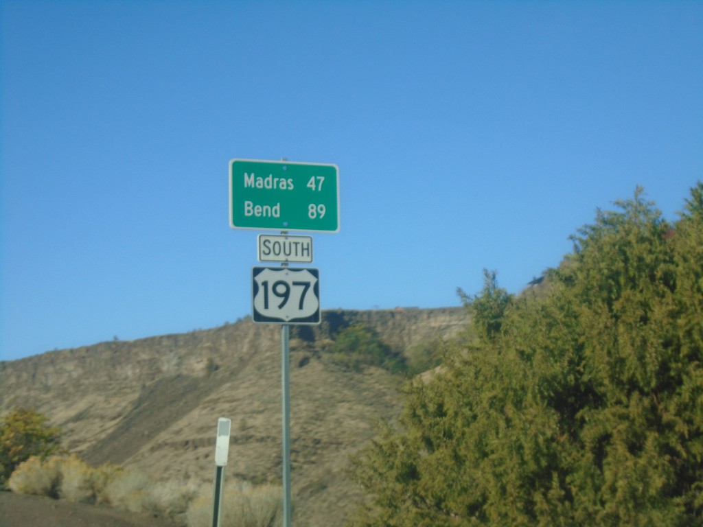
US-197 South - Distance Marker
Distance marker on US-197 south. Distance to Madras and Bend.
Taken 10-14-2018
 Maupin
Wasco County
Oregon
United States
Maupin
Wasco County
Oregon
United States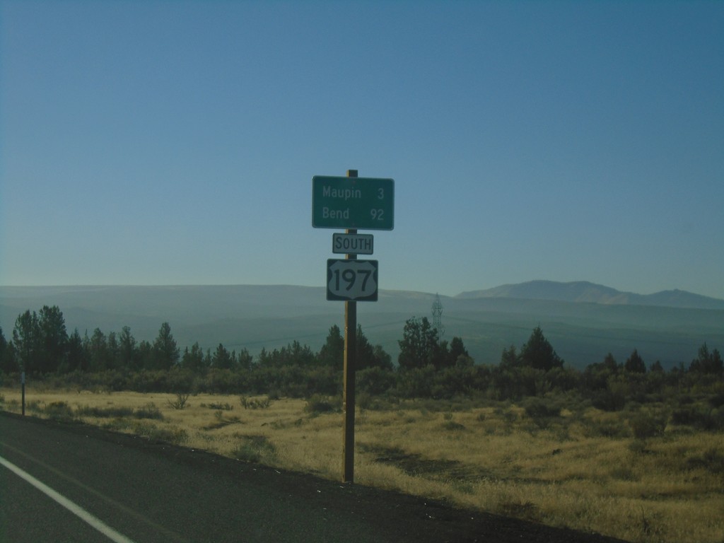
US-197 South - Distance Marker
Distance marker on US-197 south. Distance to Maupin and Bend.
Taken 10-14-2018
Maupin
Wasco County
Oregon
United States